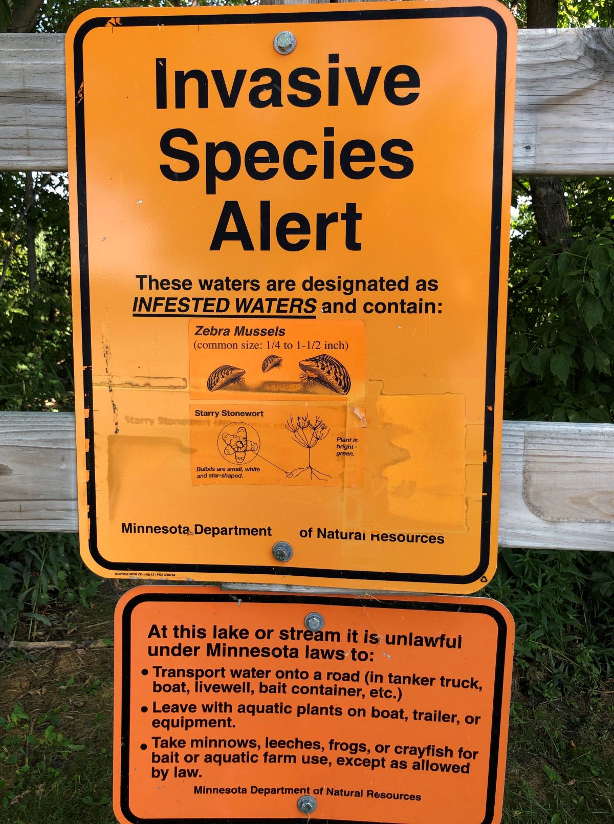
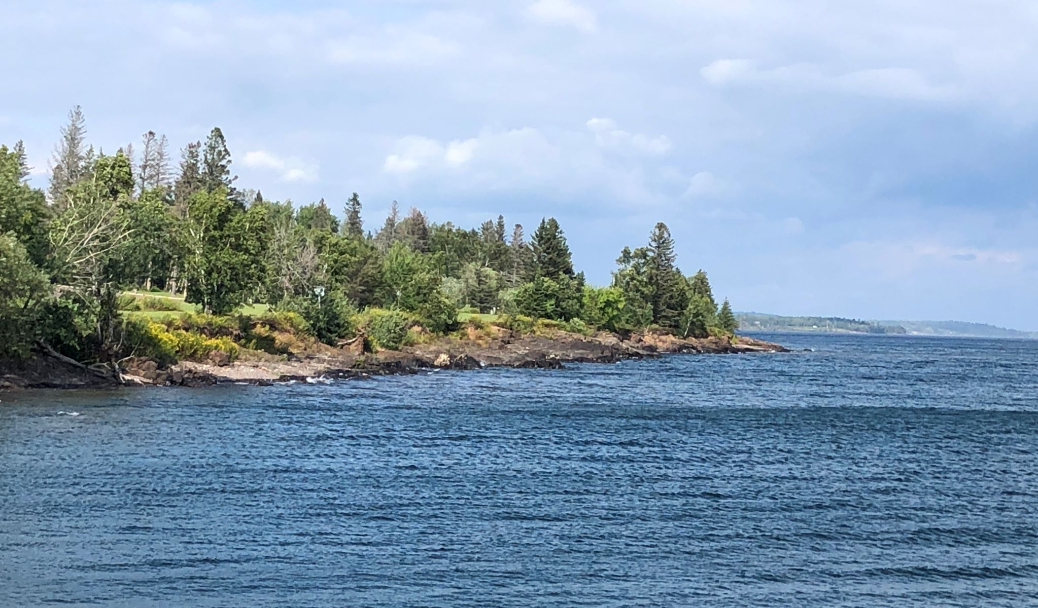
Friday Aug 26 – We got a load of laundry done before packing up to leave Bemidji. The checkout time is 11, and we have a short drive to our next stop where check in is at 2pm. So, we left Bemidji at 11 with Acey’s mileage at 93,528.4, Thor has 105,391 and our bicycles have 2,135 miles. We stopped at a rest area/ boat launch for a few minutes and walked over to see Cass Lake.
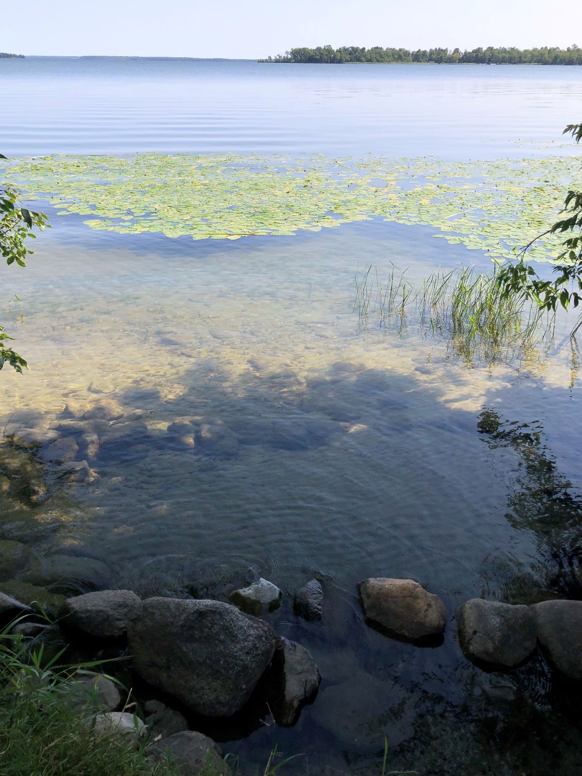
A pretty lake and the water looked clear and inviting! Signs warned of invasive species lurking in the water… probably ok for swimming, but boaters need to take notice.
We arrived at Red Pines Campground in Saginaw, MN about 2:15 and got settled in. It rained pretty hard Friday night and into Saturday. Jim made pancakes for breakfast, and we did some cleaning and Linda worked on the blog.
Sunday morning, we zoomed with our Sunday School class
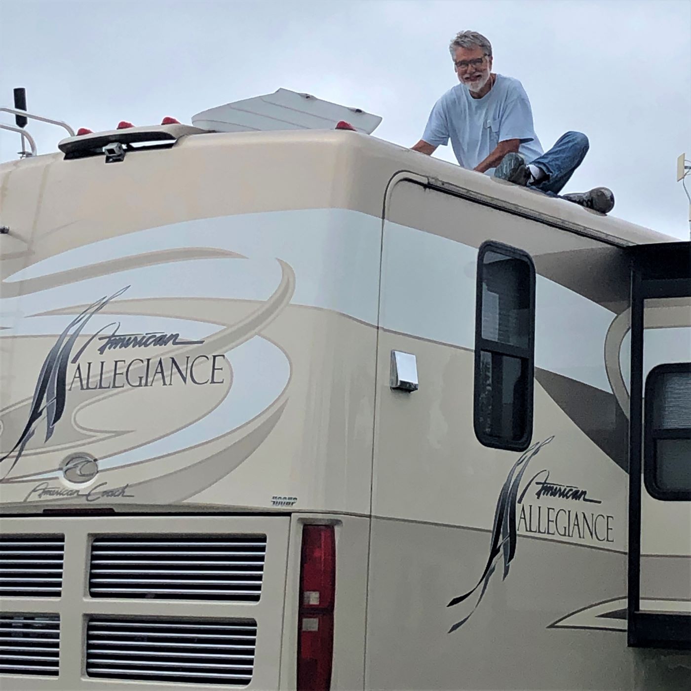
Jim worked on roof, removing the old vent cover and cleaning up the goop, etc. before the new cover can be installed.
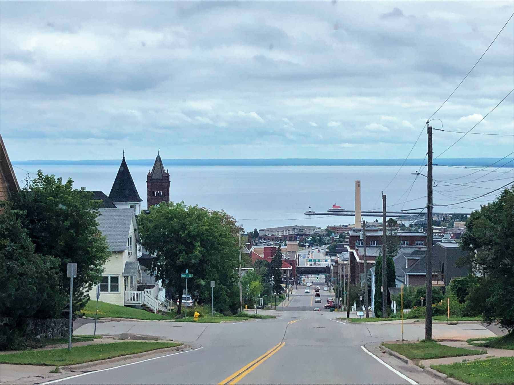
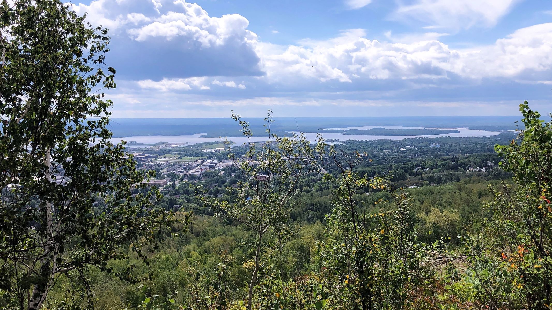
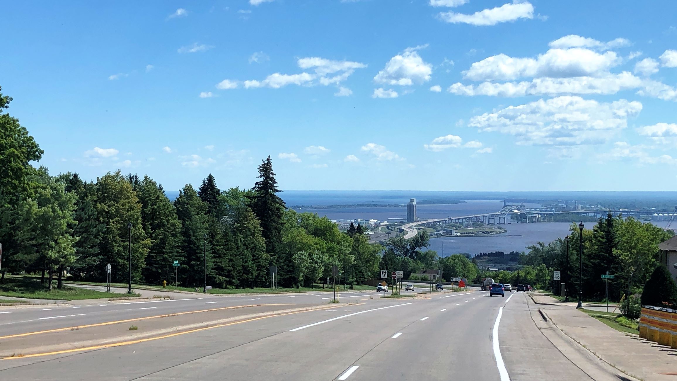
We did some more cleaning and Linda got Saskatchewan blog posted. After lunch, we drove into Duluth. Going downhill, we got a nice view of Lake Superior!
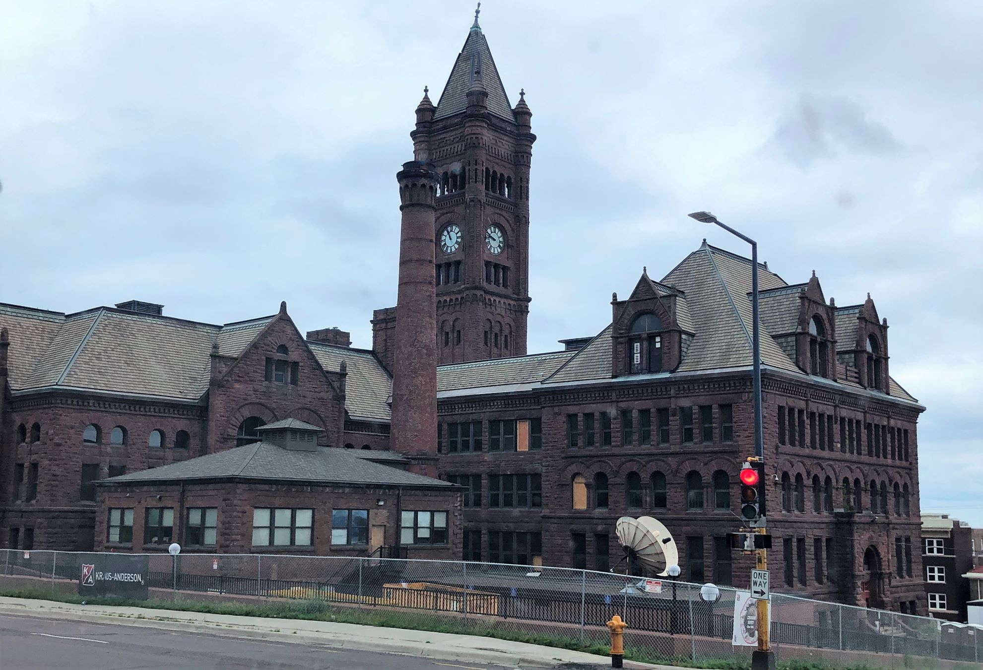
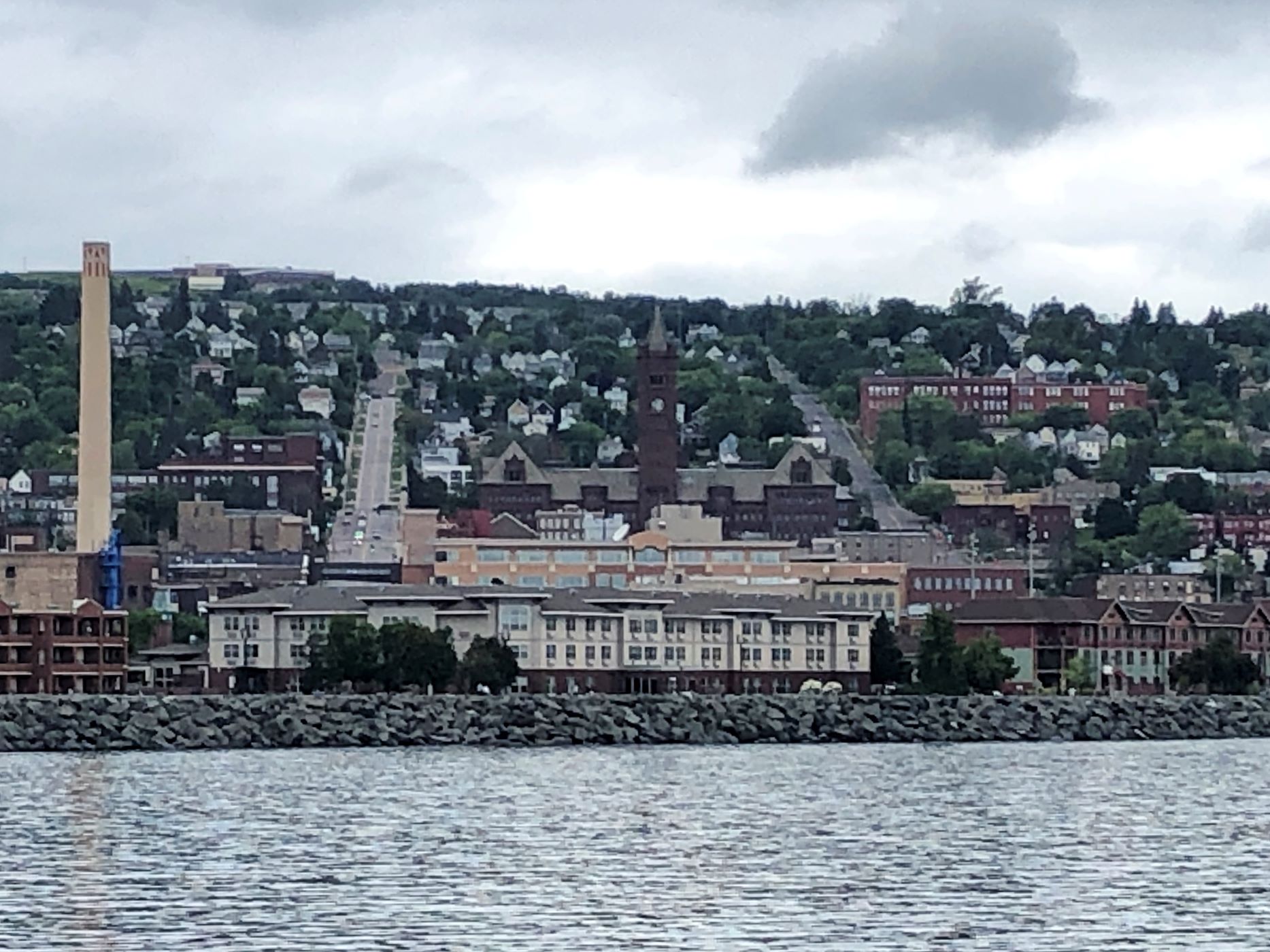
This building is the Historic Old Central High School, built in 1892. It appears that work is being done on it.
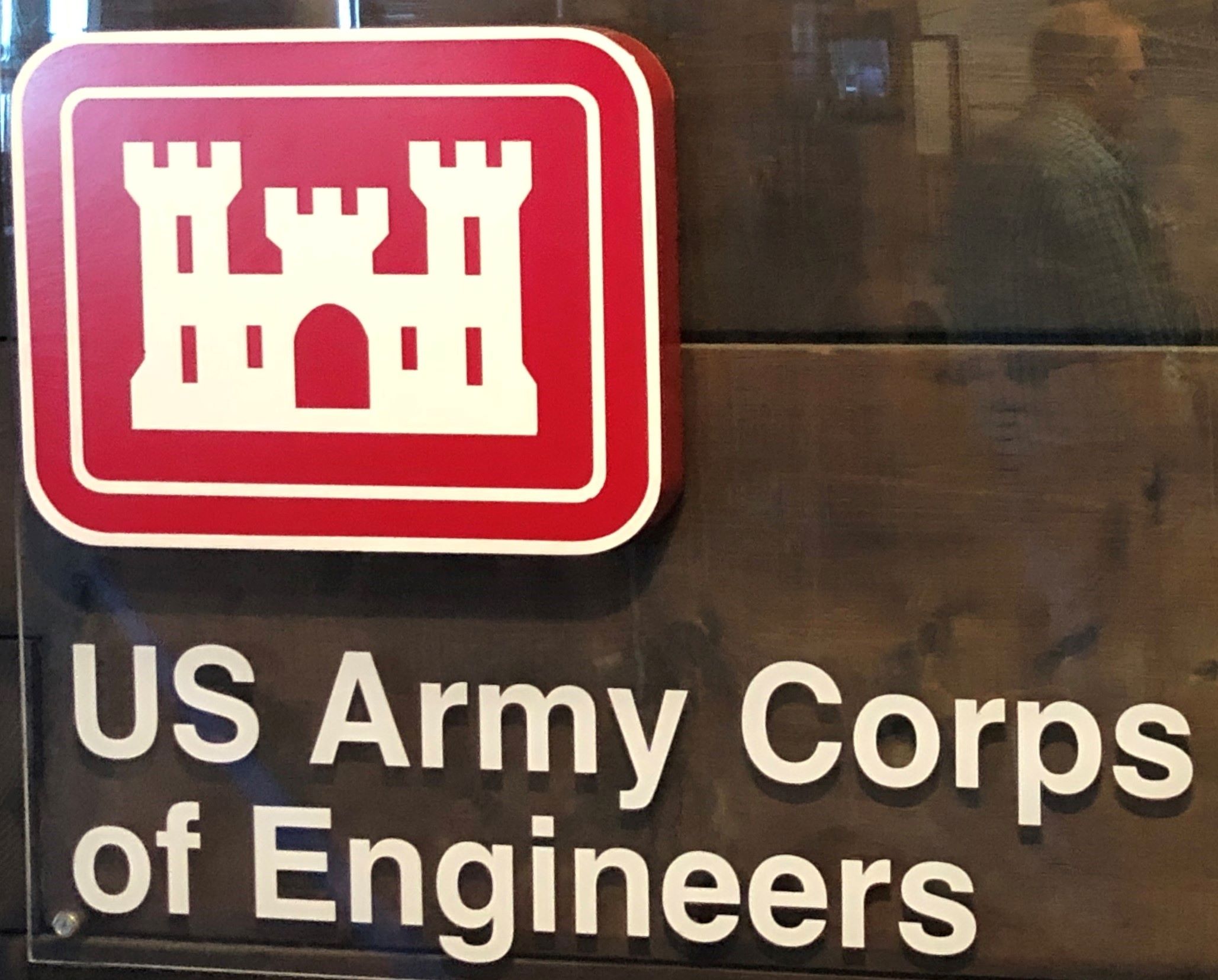
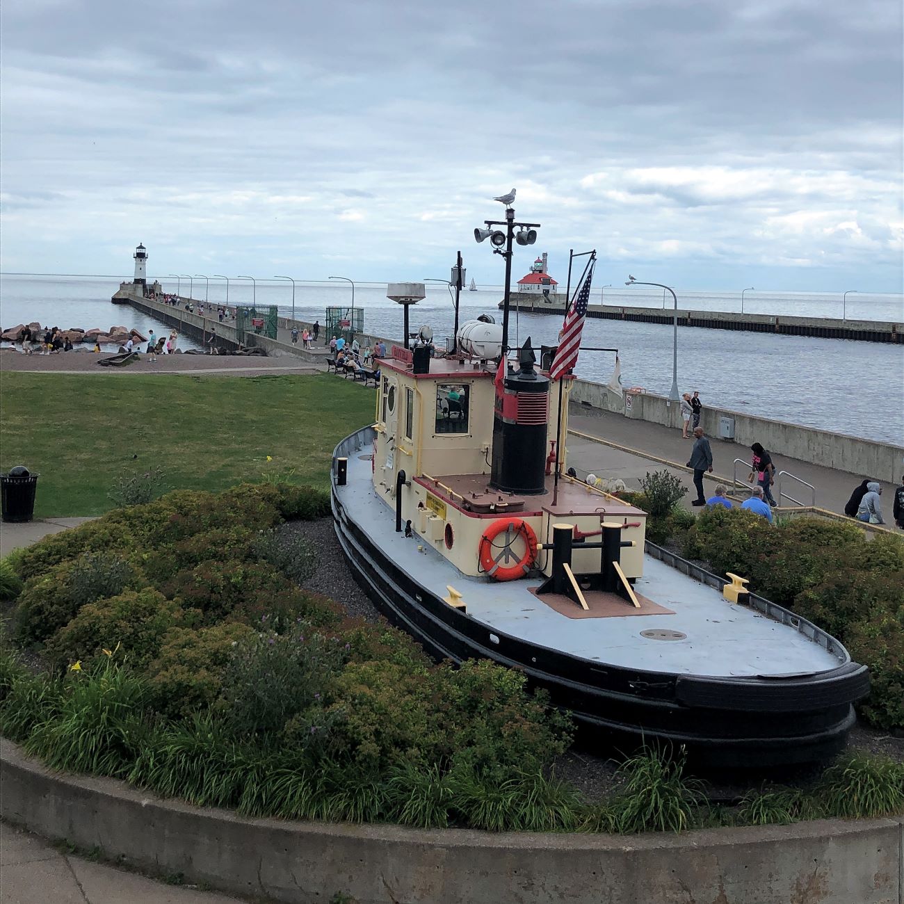
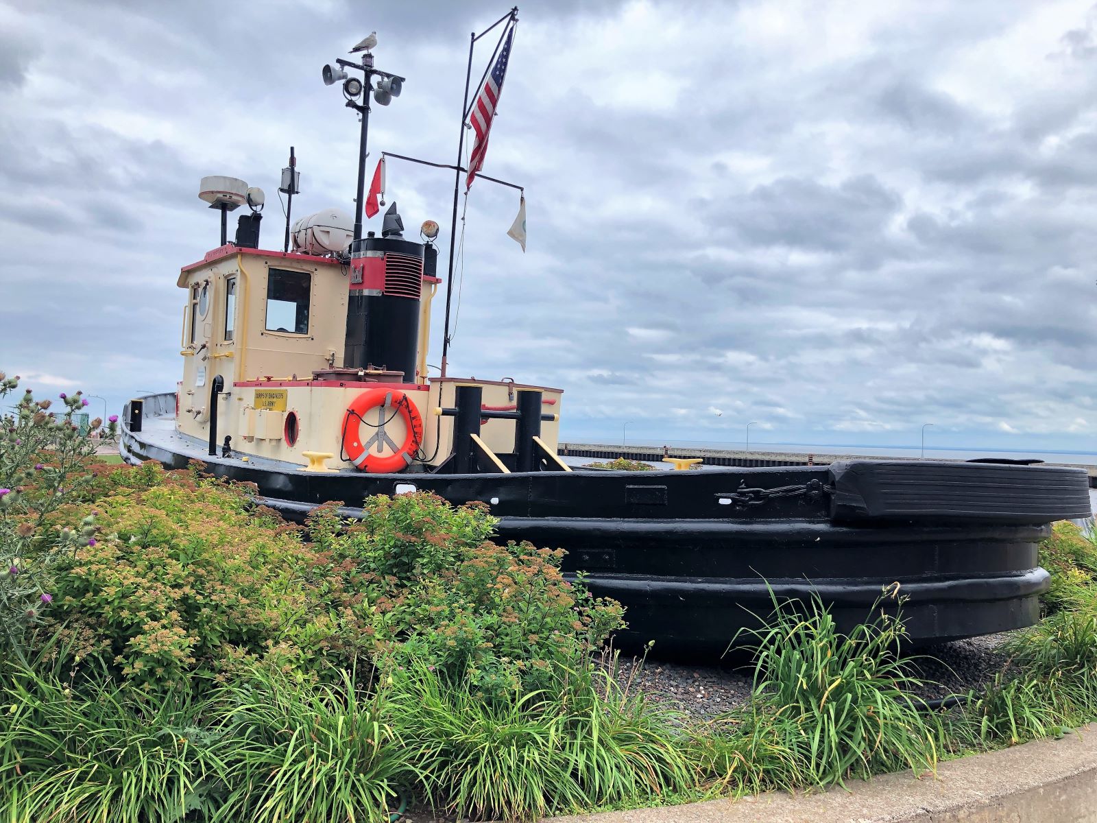
We walked around the Canal Park area and found the Lake Superior Maritime Visitor Center which is operated by the Army Corps of Engineers – free admission (our tax dollars at work!)

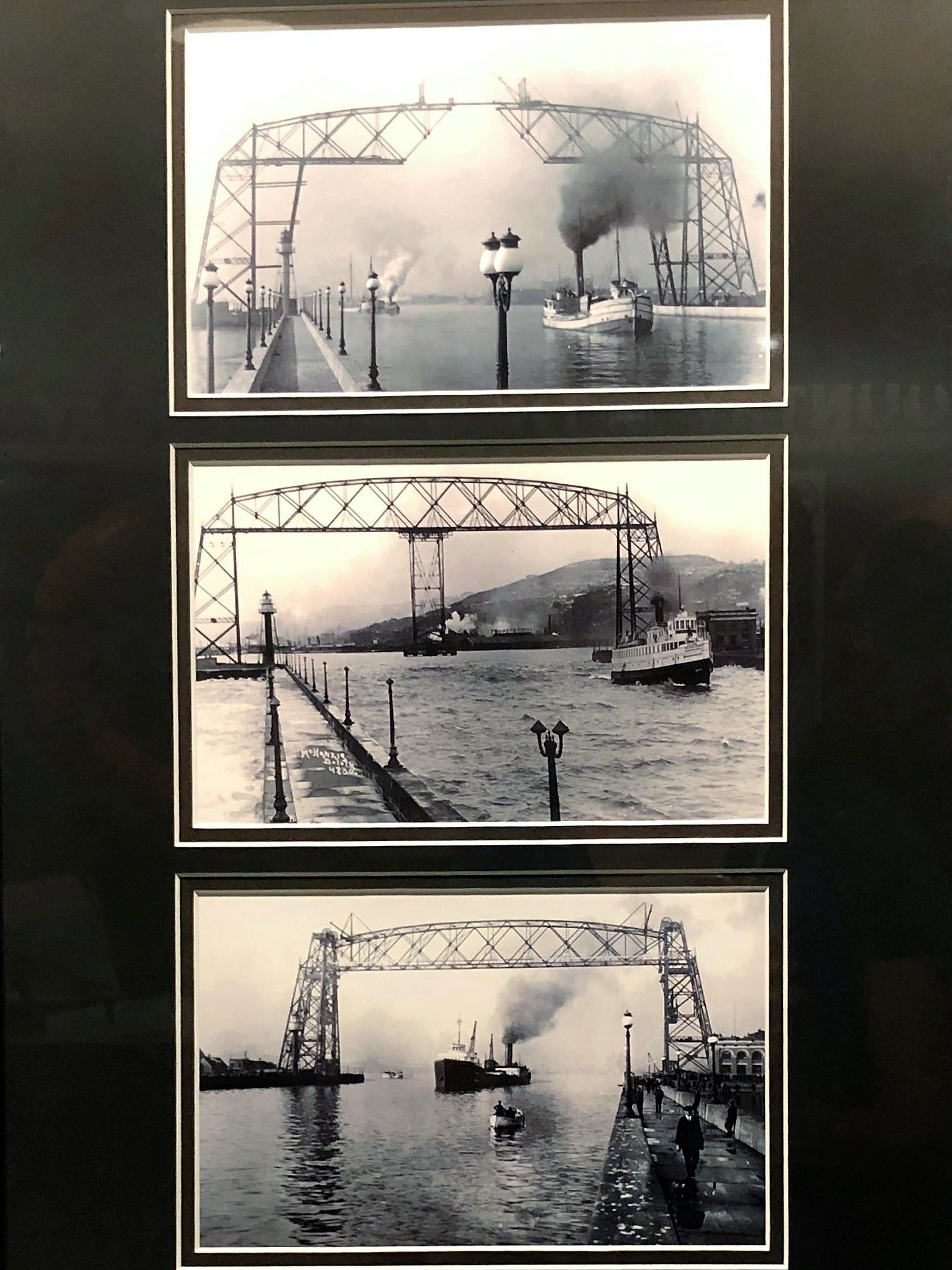
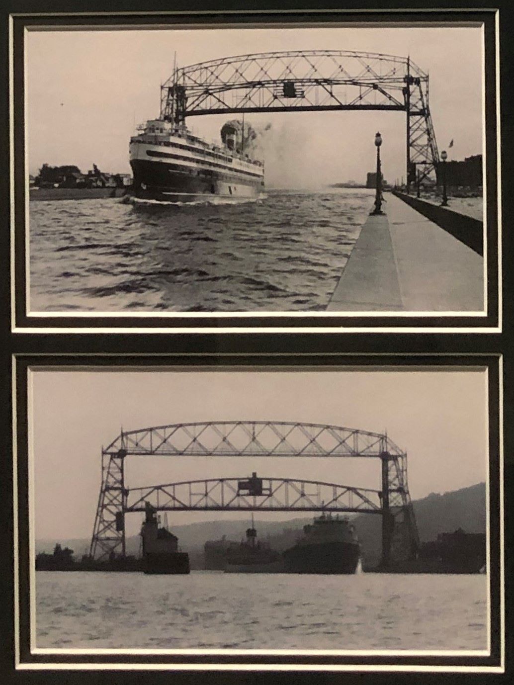
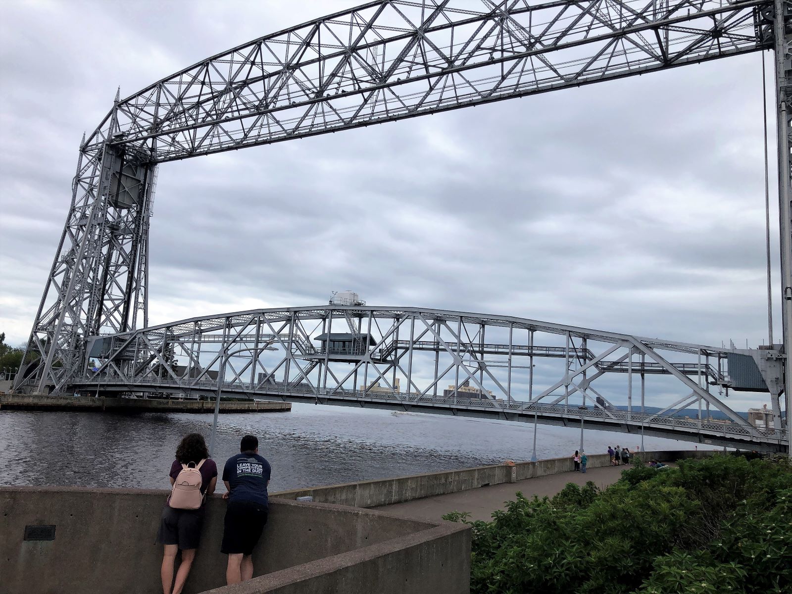
A little info about the Duluth Aerial Bridges.

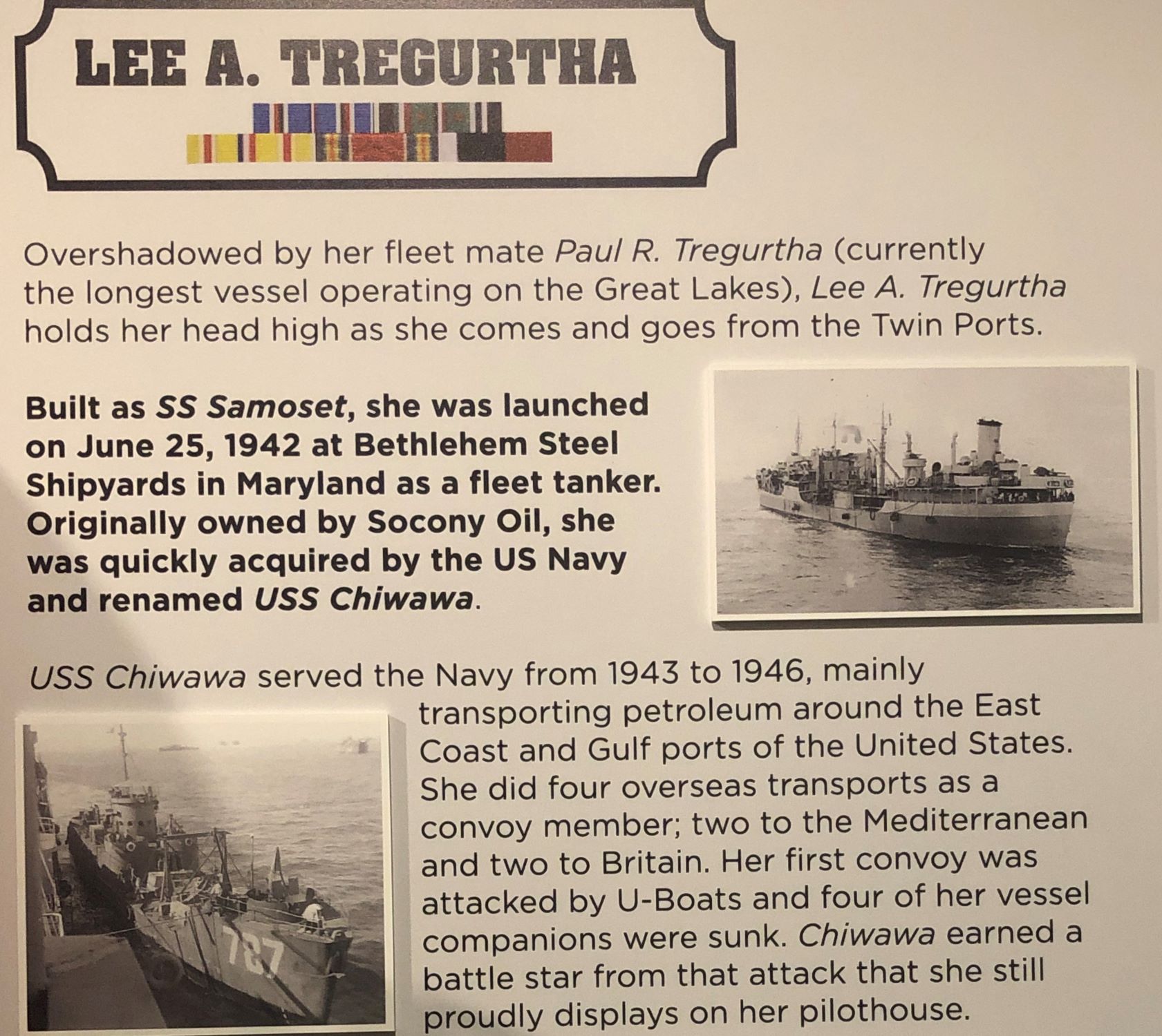
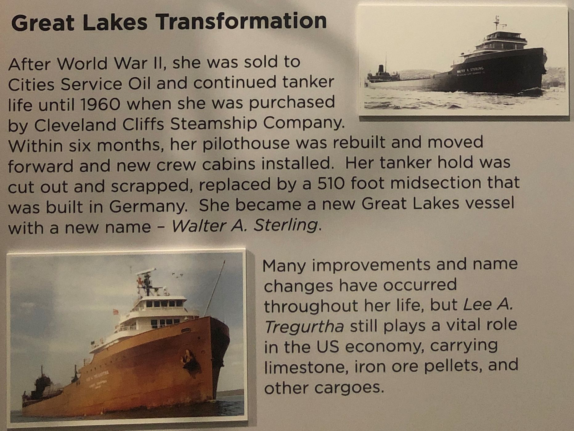
The Lee A Tregurtha has had an interesting and proud history.
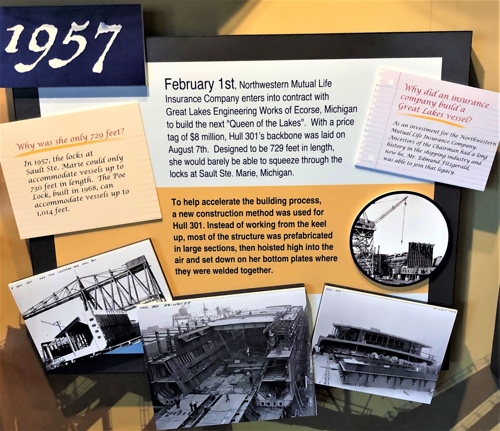
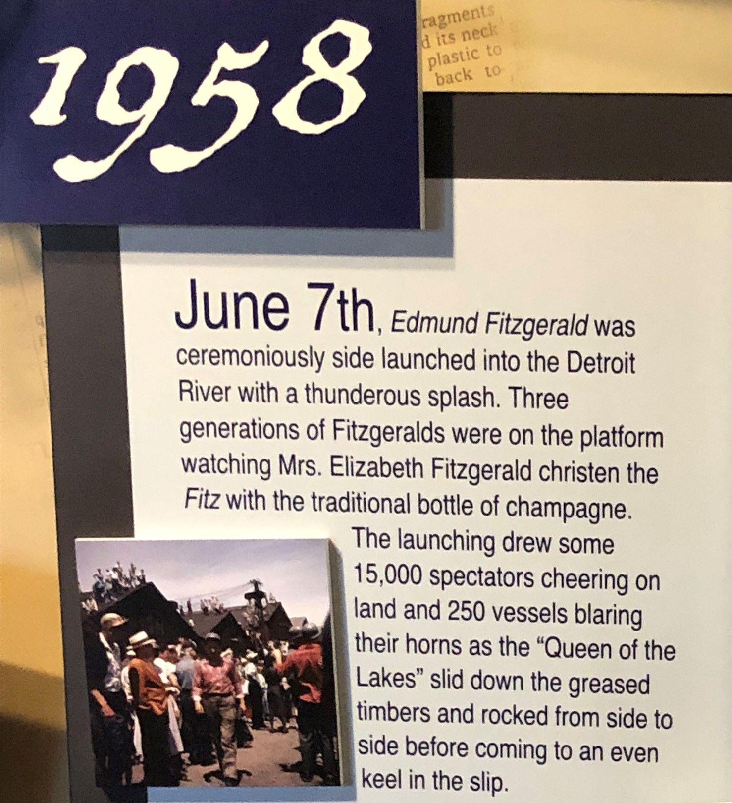
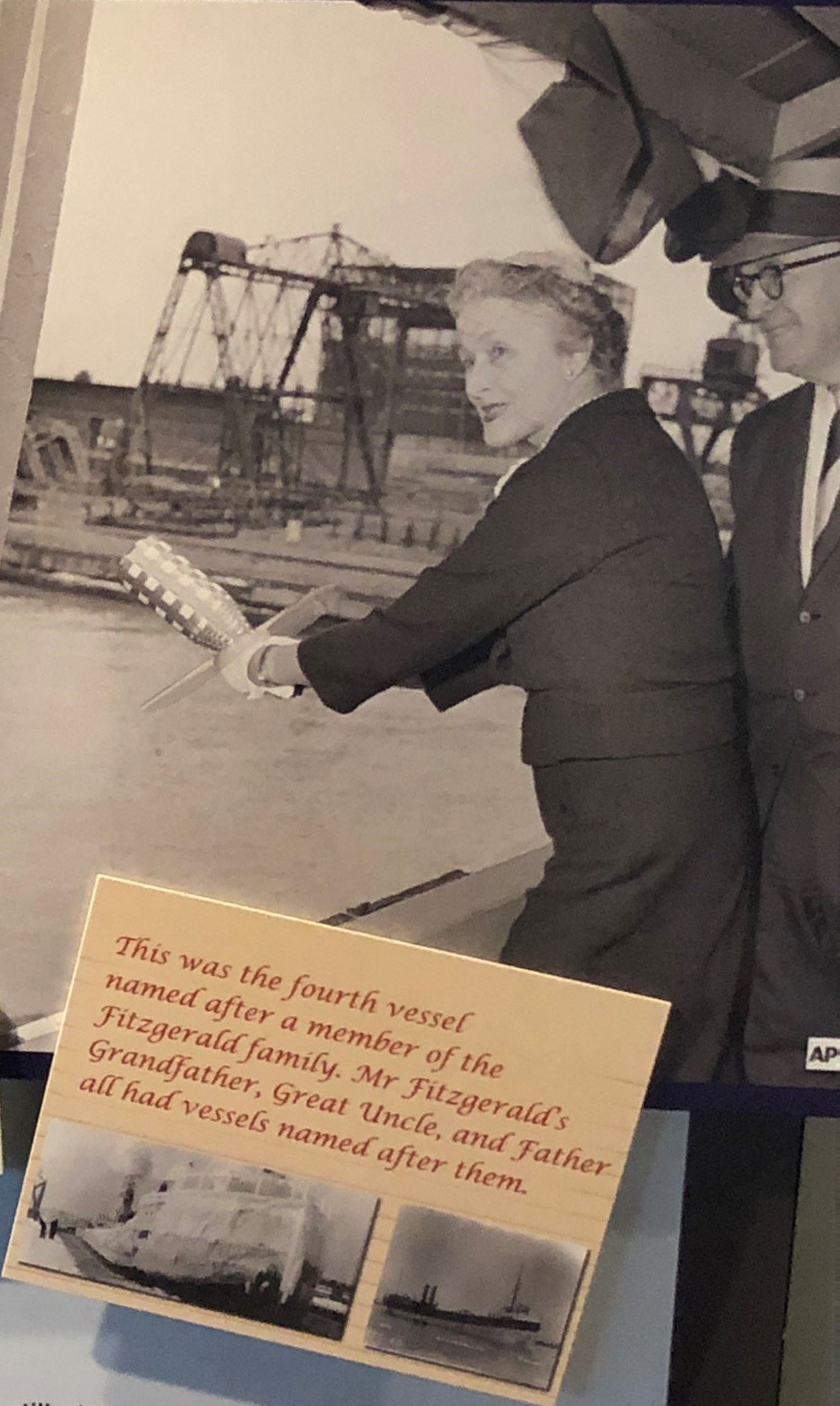
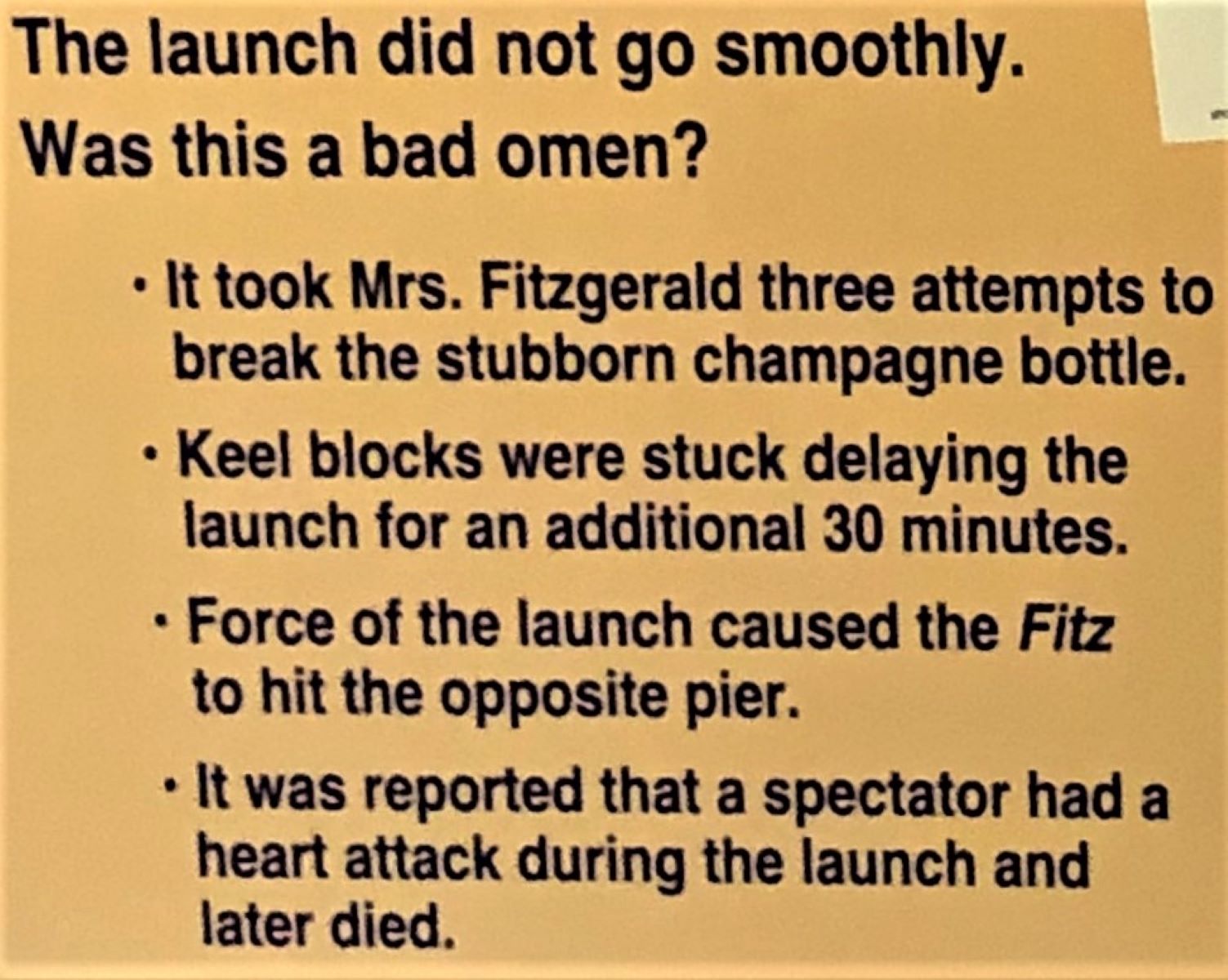
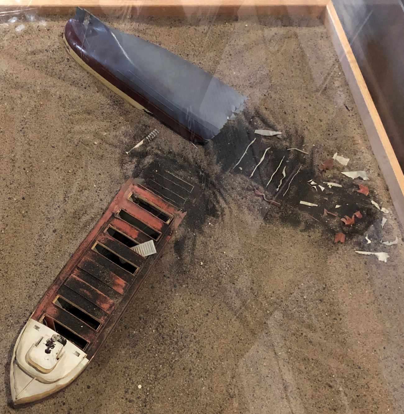
The display about the Edmund Fitzgerald had some information we had not seen about the ship.
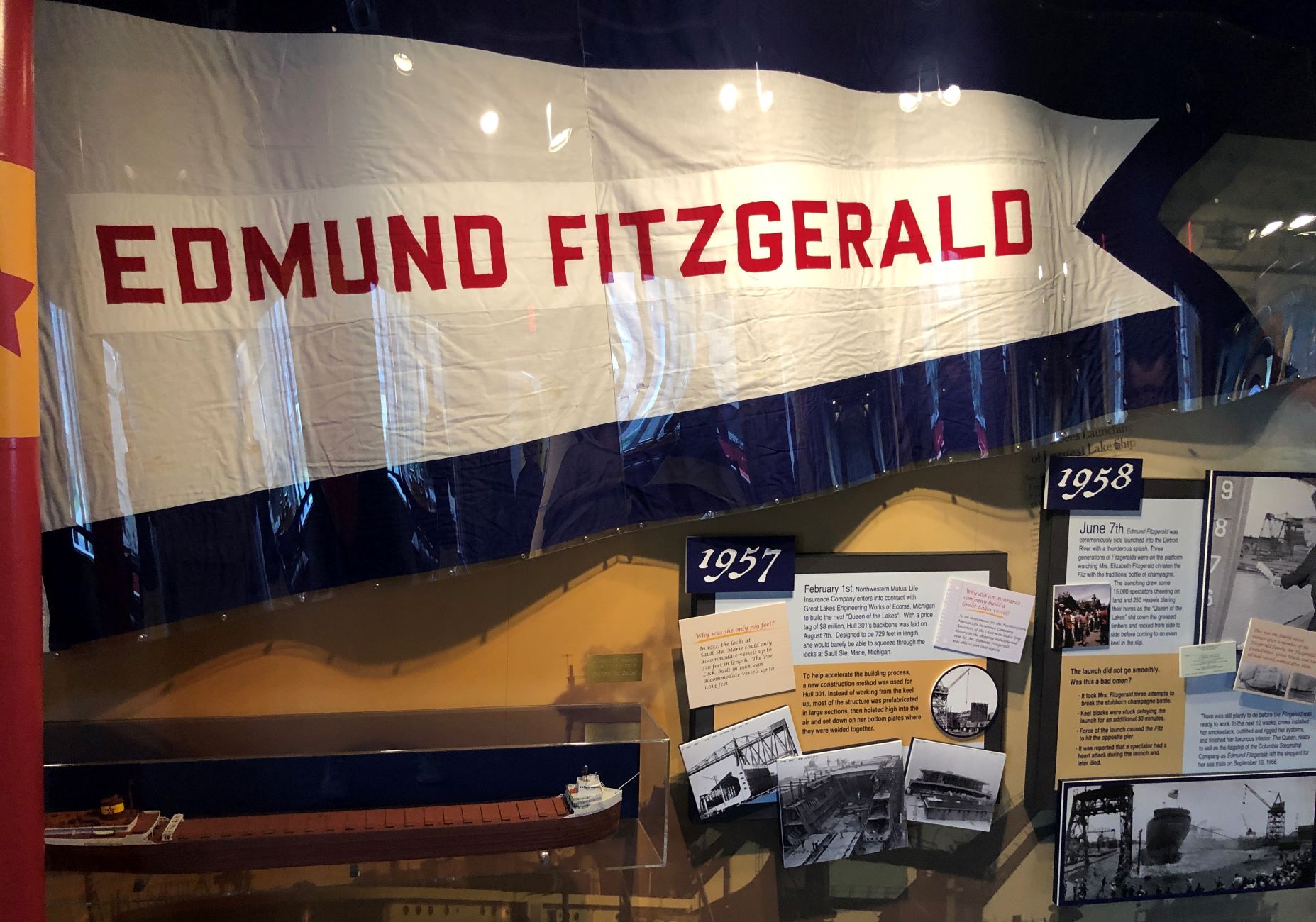

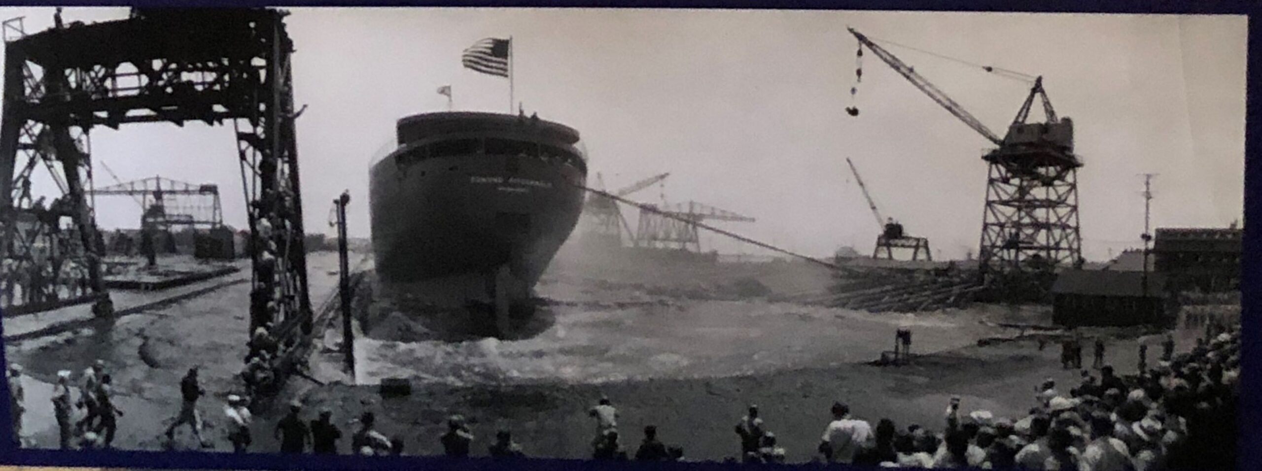
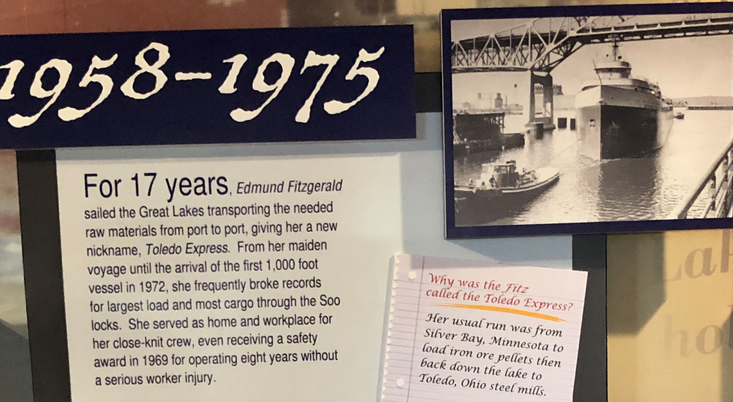
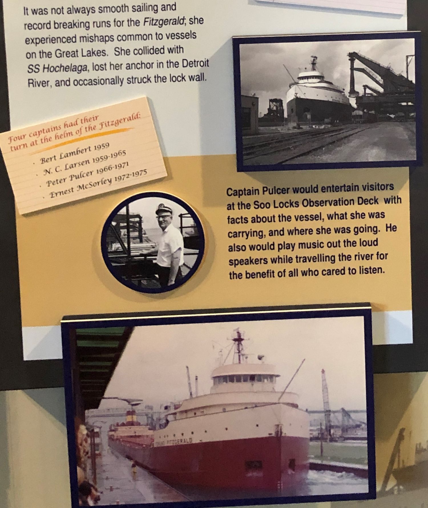
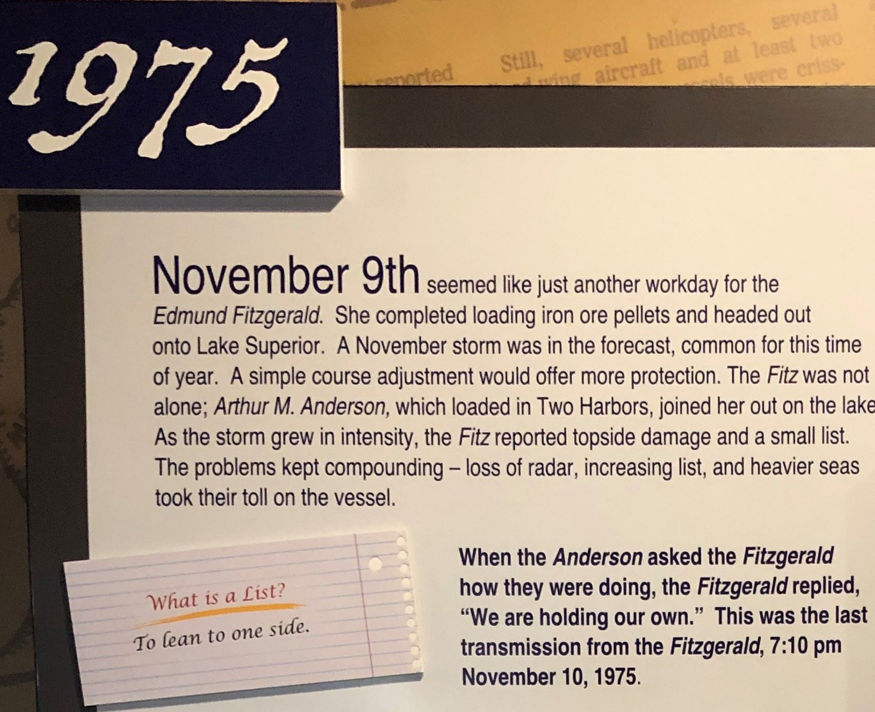
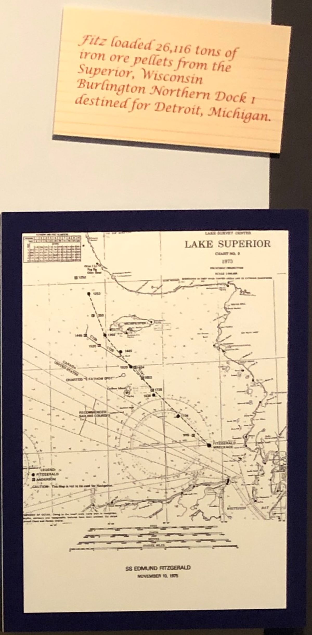
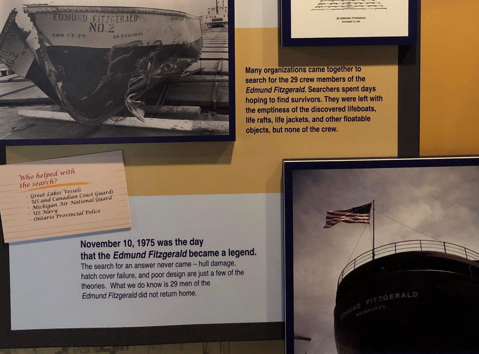
When the Fitz was launched, it was the largest Great Lakes freighter and remains the largest to have sunk there. This is what the wreck looks like on the bottom of the lake; 530 feet down, and about 17 miles (15 nautical miles) from Whitefish Bay.
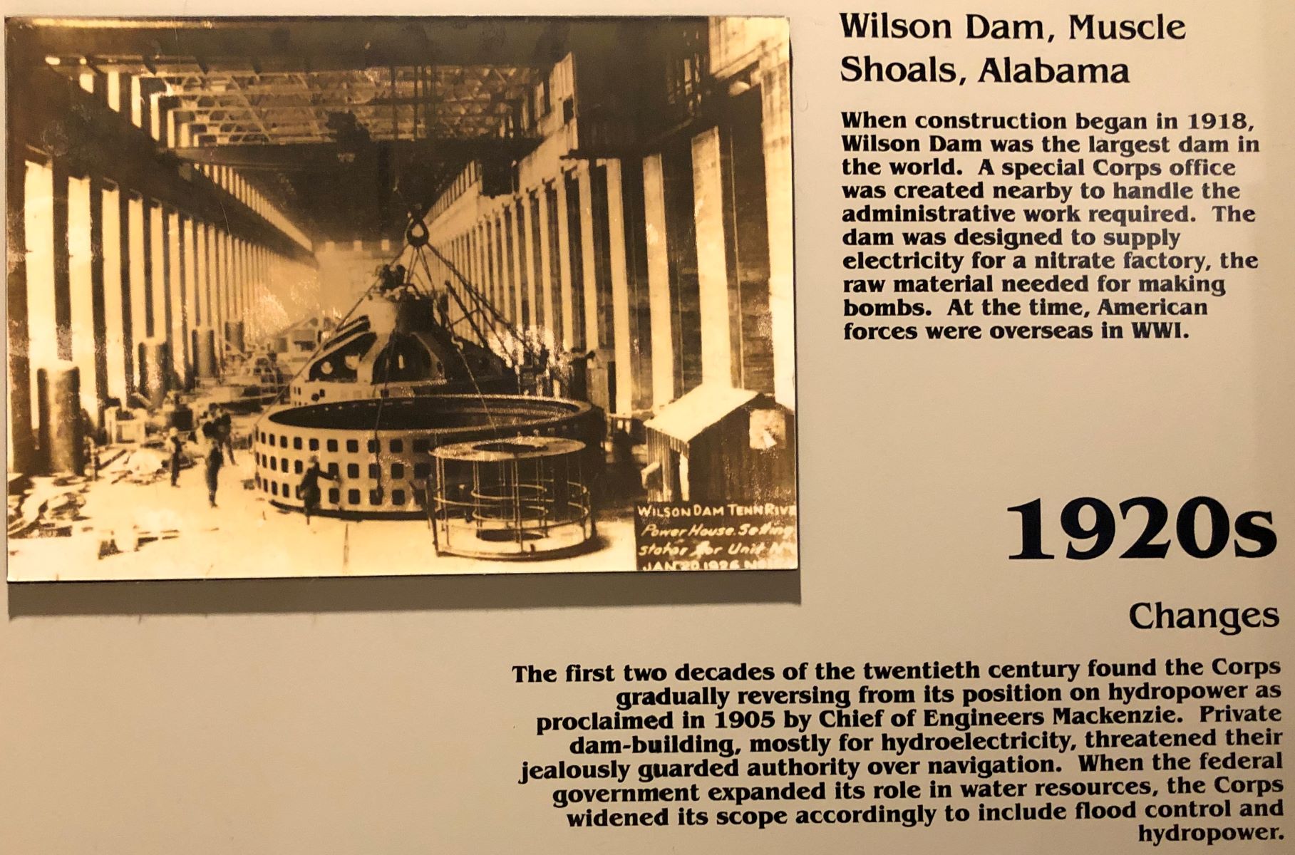
The Corps of Engineers is known for building many of our dams and locks.
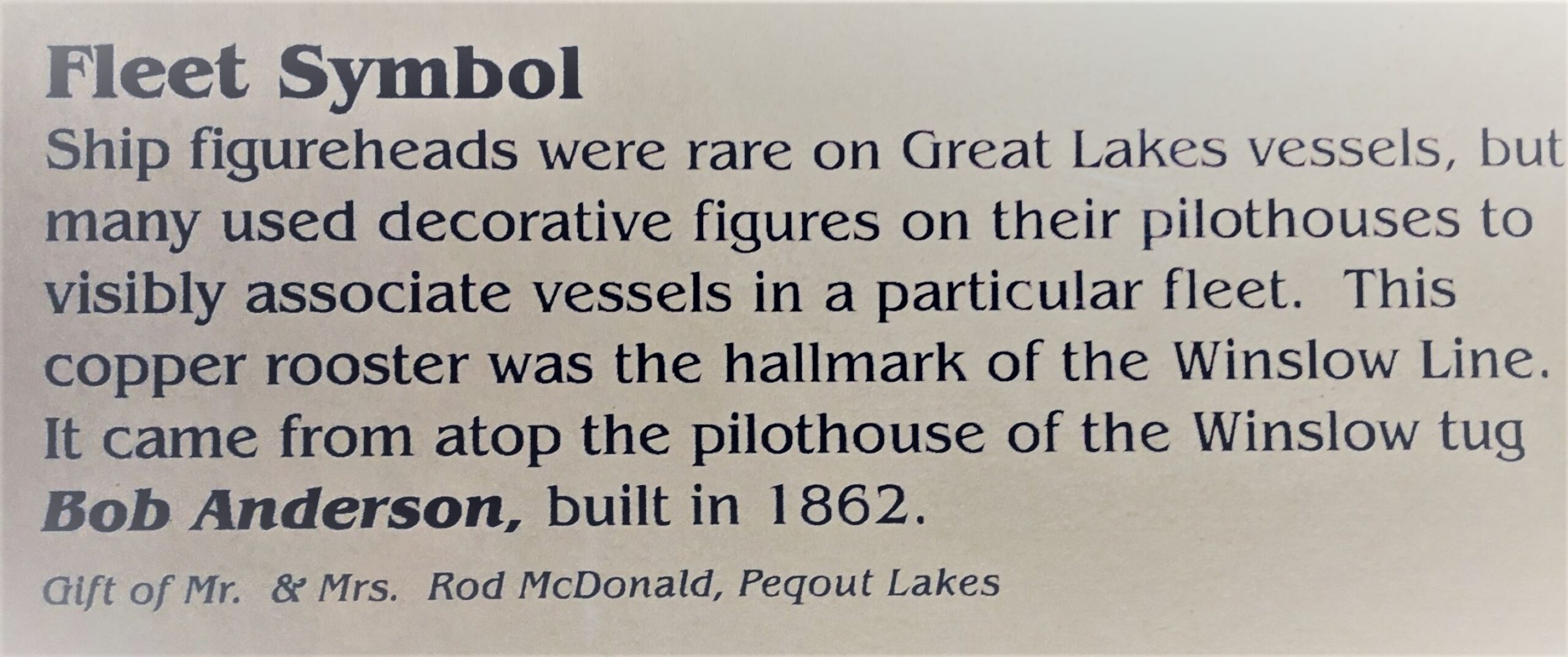
There was a lot more to see, but – sorry, no more photos! We went back outside to walk along the canal.
The Aerial bridge was coming down after a couple of boats passed thru the canal.
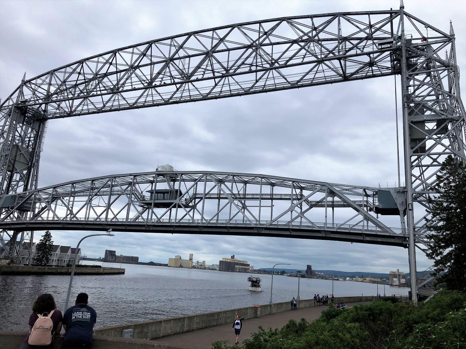
Back down for street traffic to pass over the canal.
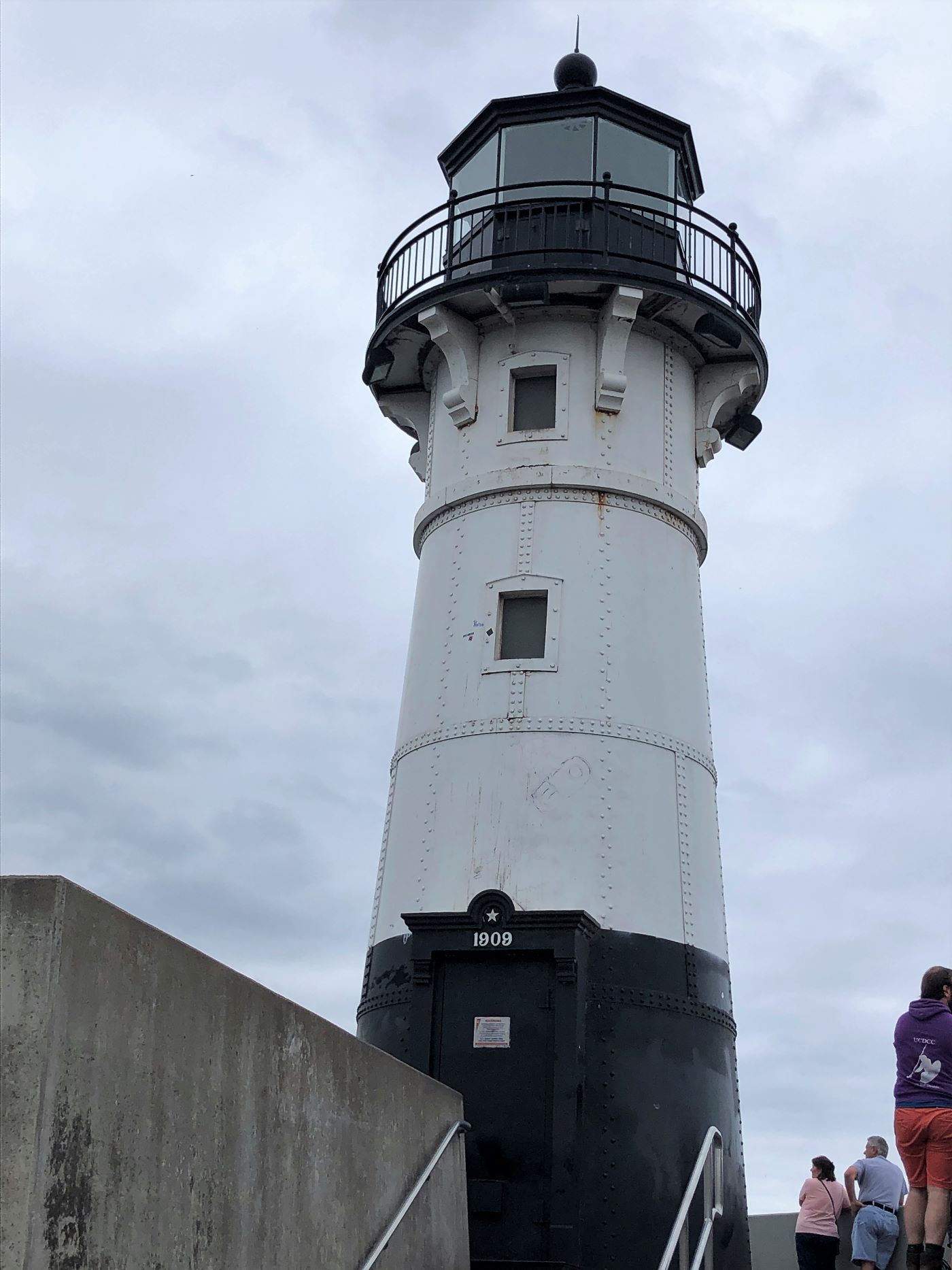
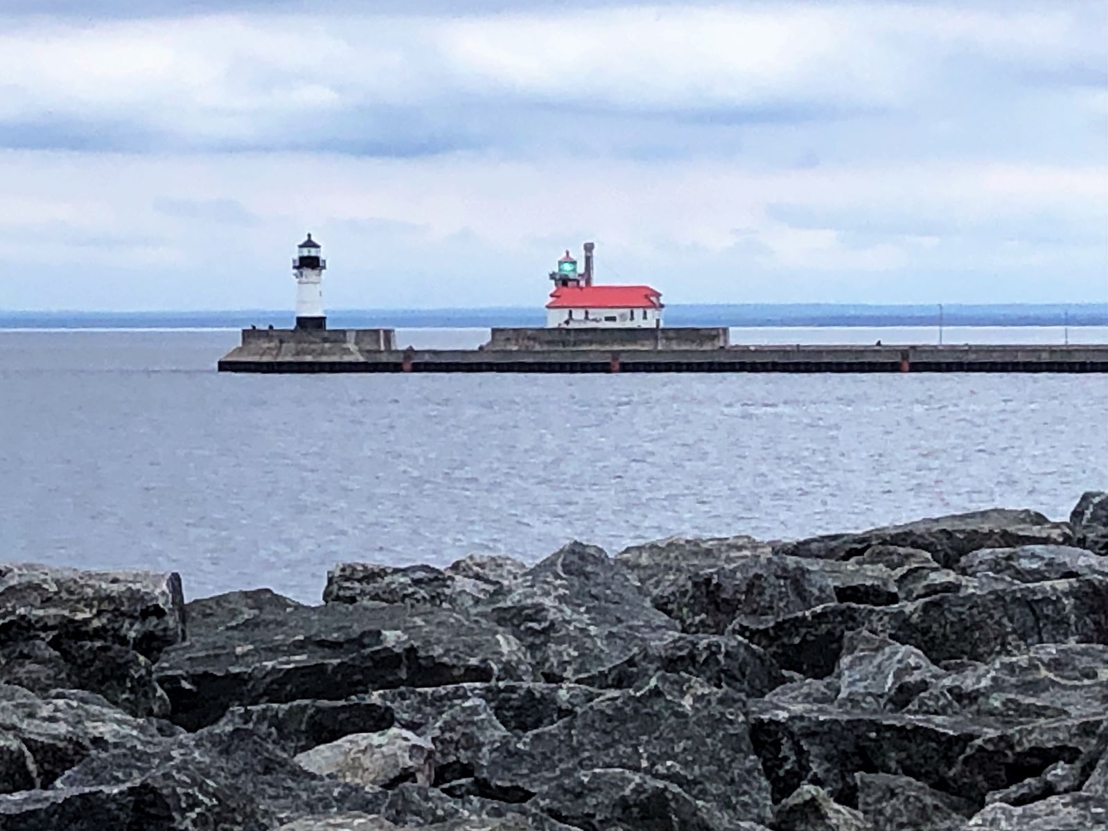
We walked out to the lighthouse.
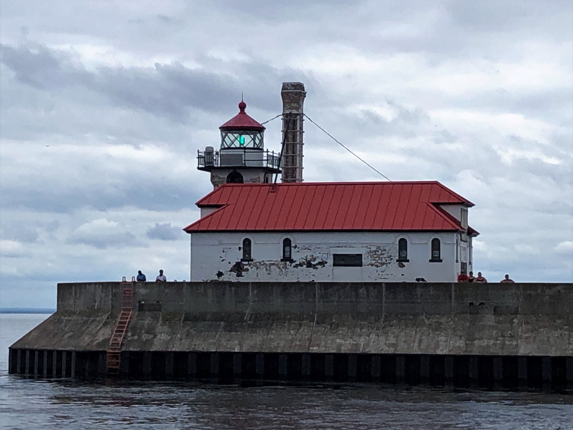
Another lighthouse marks the other side of the canal.
We walked along the shore.
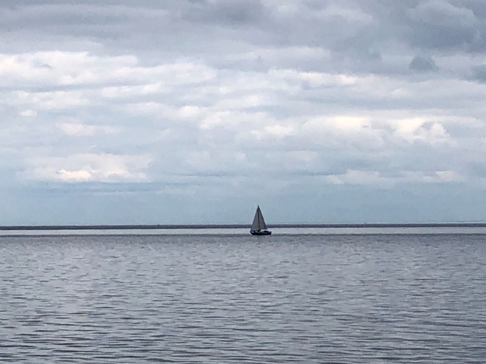
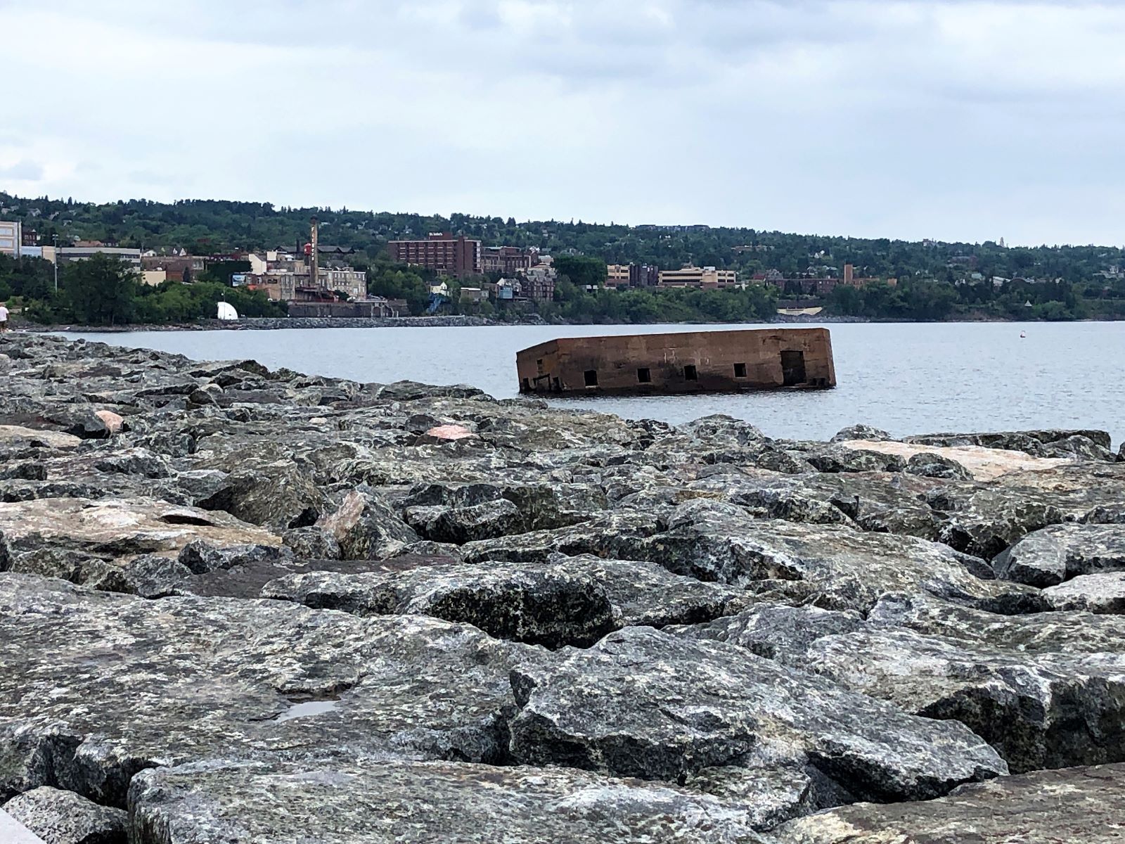
Not sure what was out in the lake here….
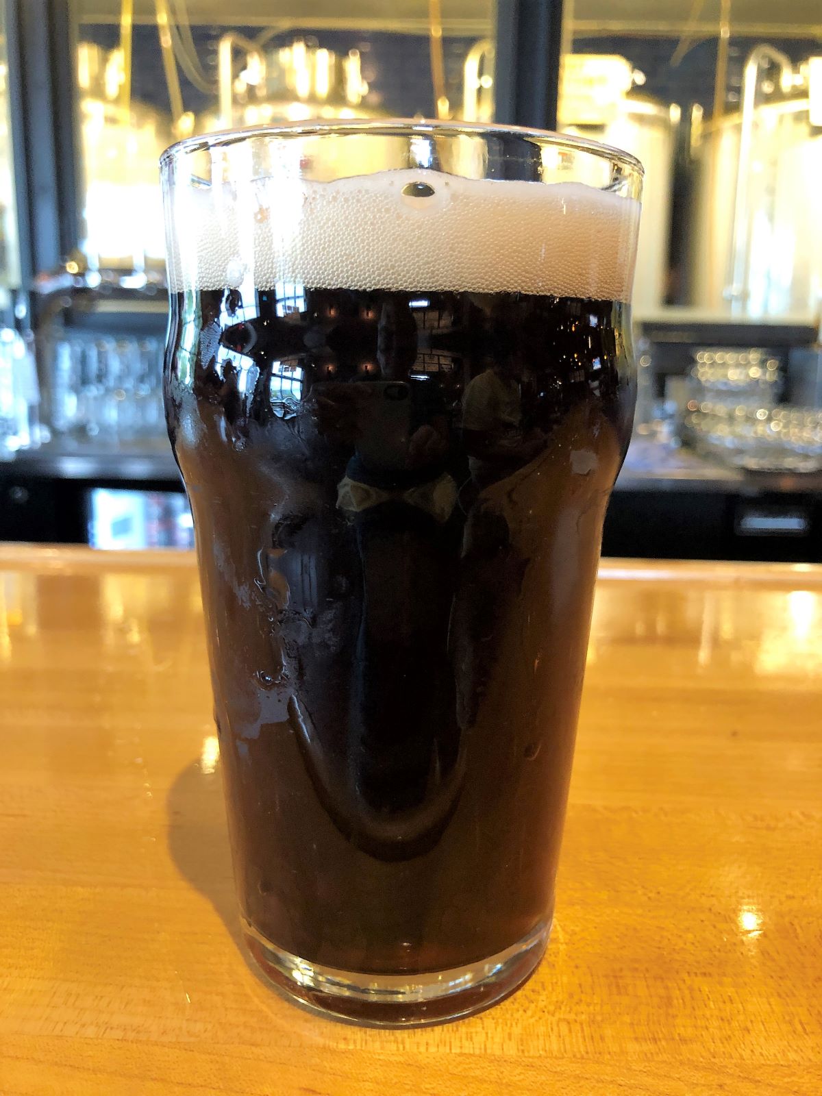
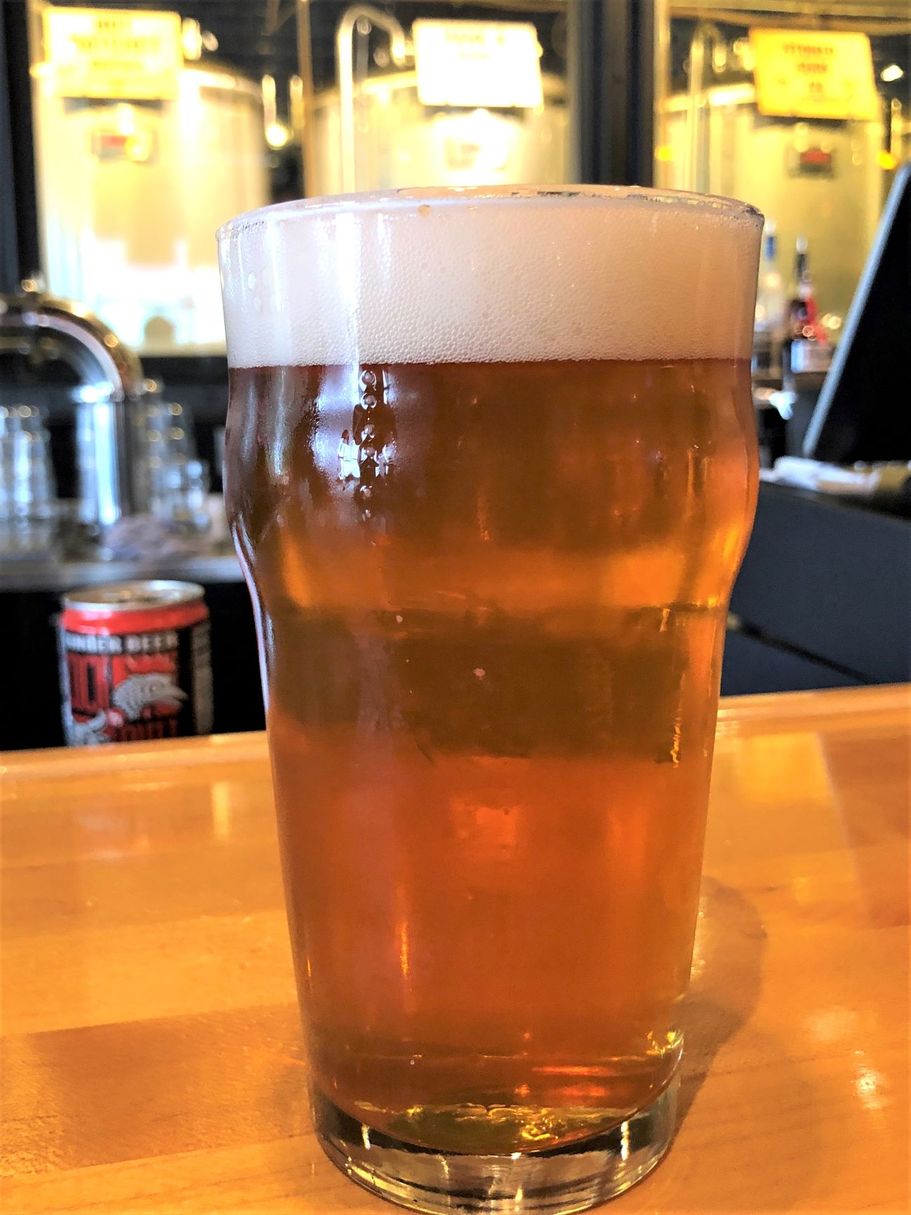
It was 5:00 – we stopped off at Canal Park Brewing for a pint!
We got back to Acey in time for the Family Zoom!
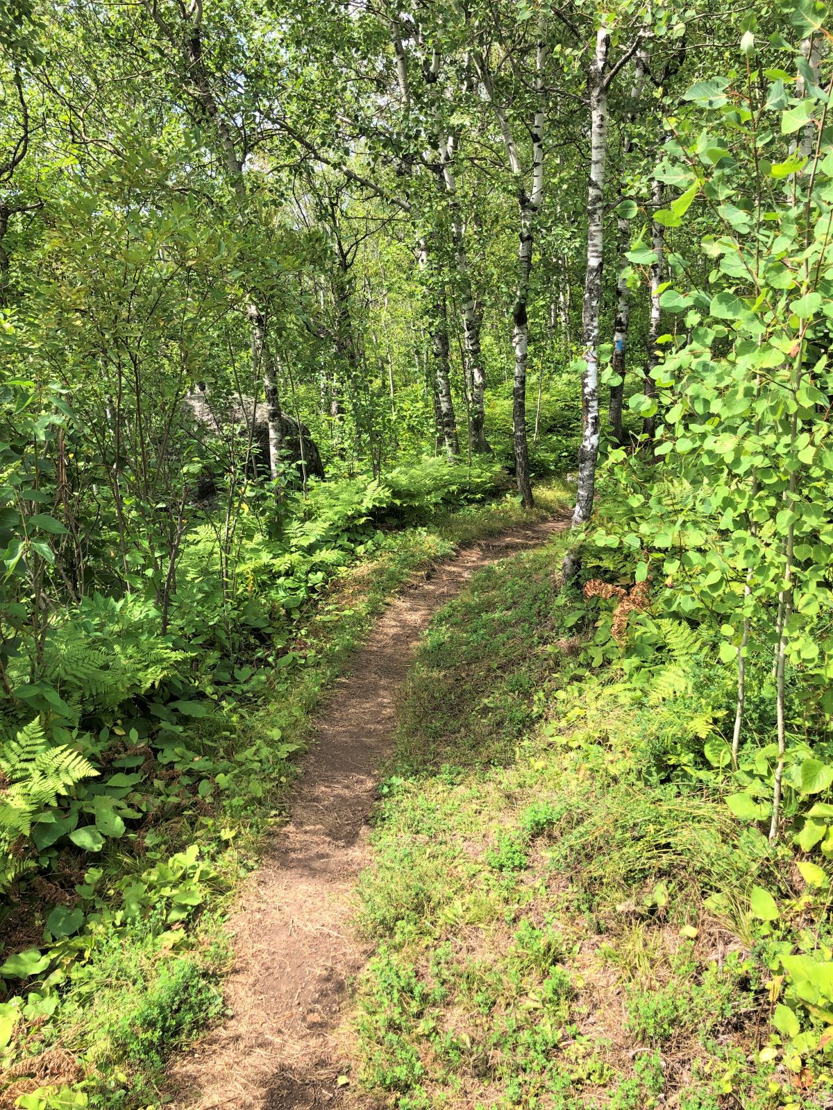
On Monday, we packed up lunch and went to hike on the Superior Hiking Trail. Lots of birch trees and good shade along much of the trail.
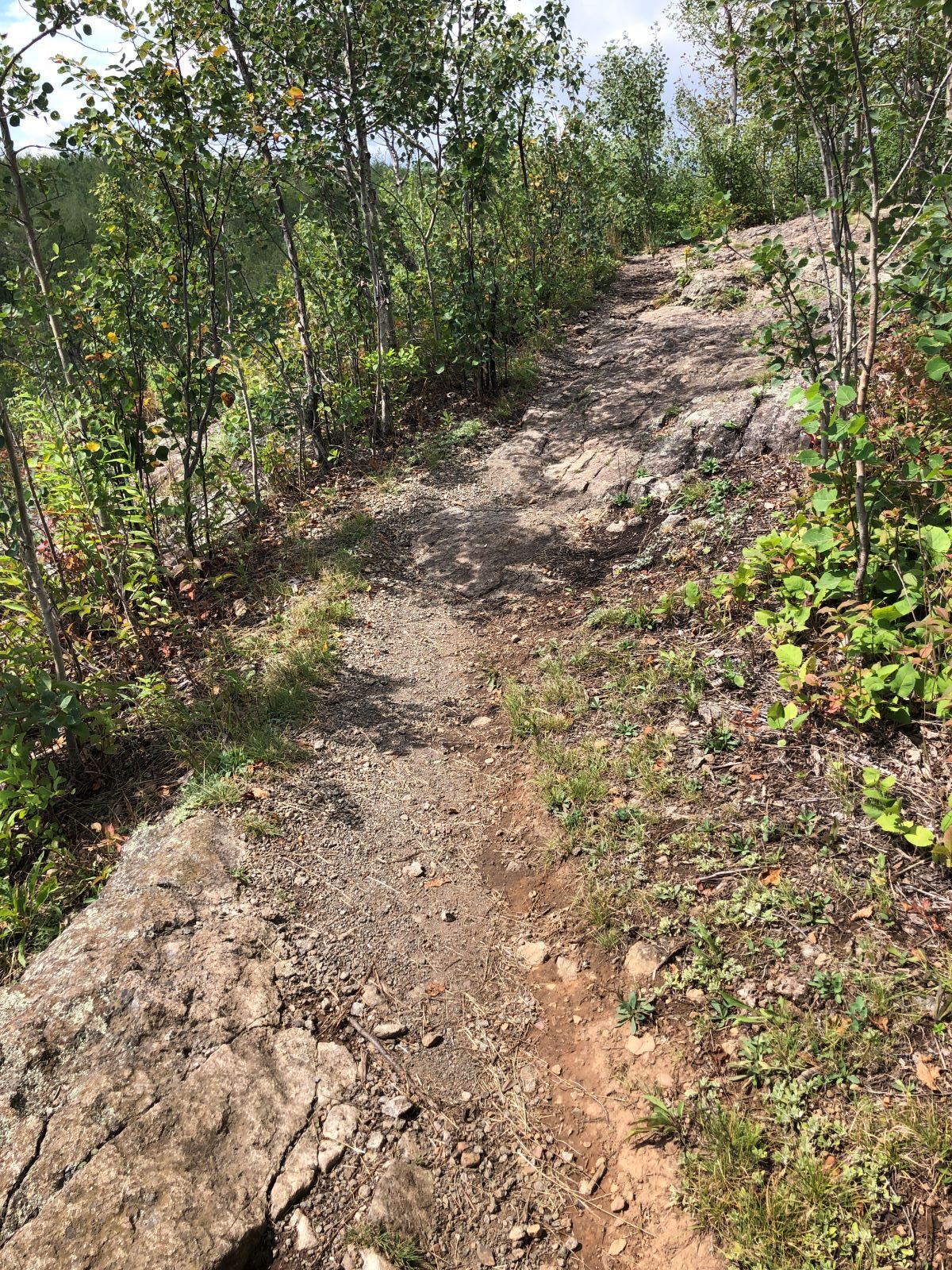
Some of the trail was a bit rocky…
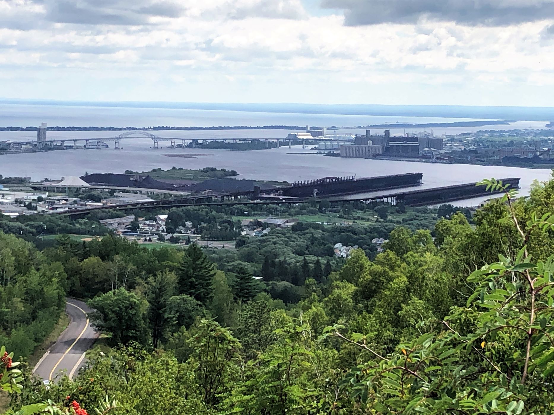
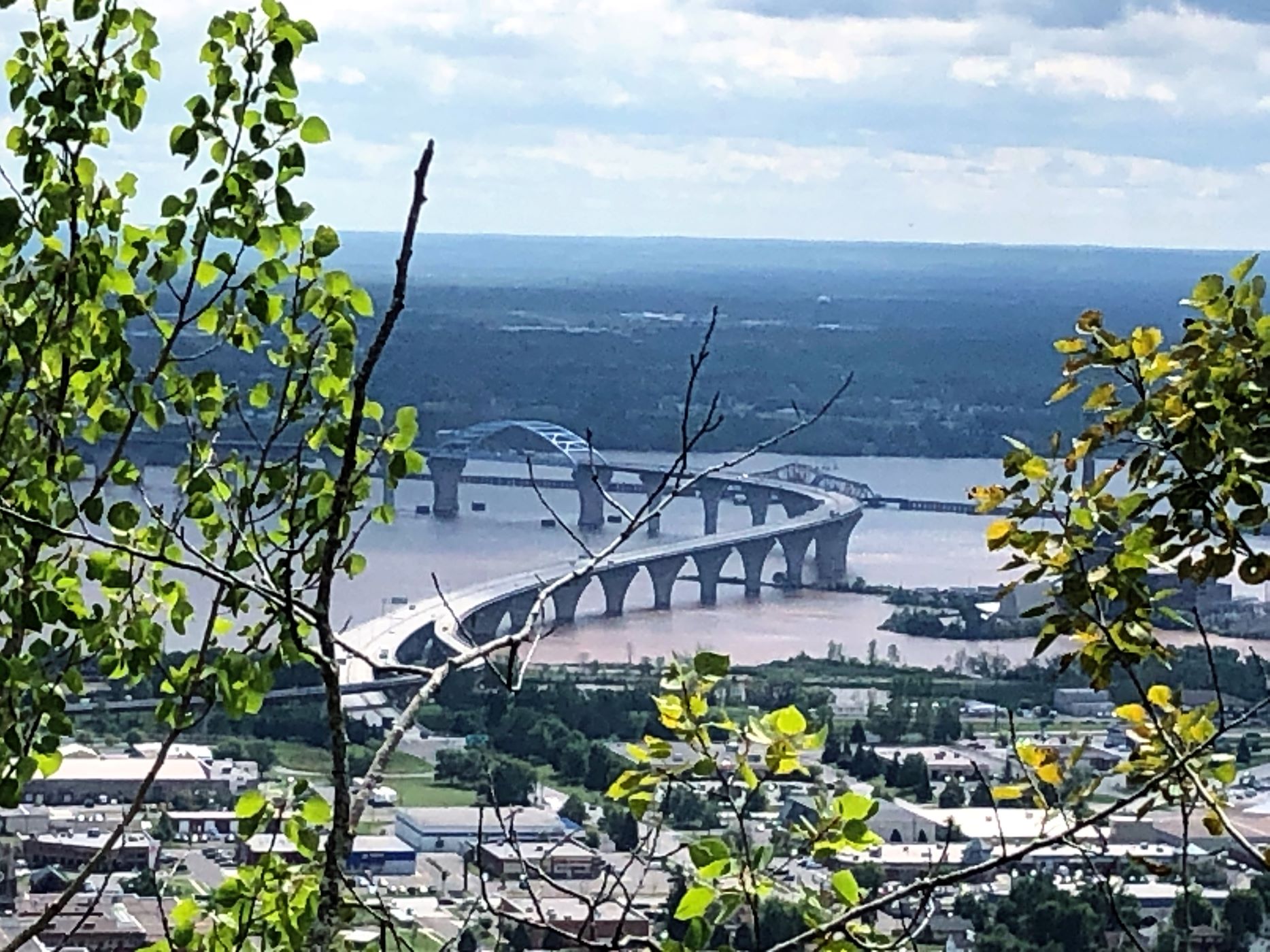
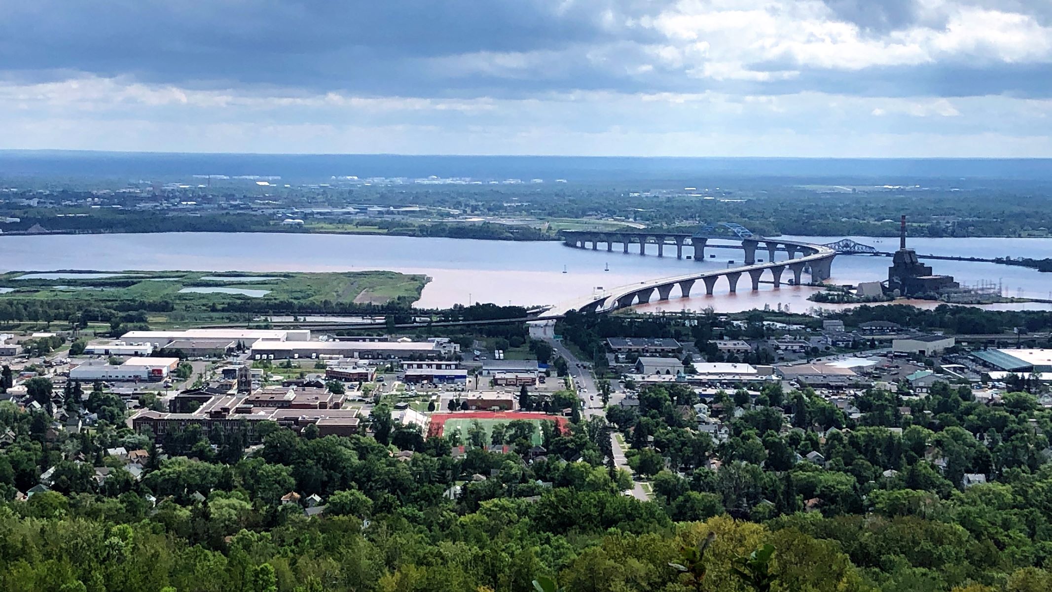
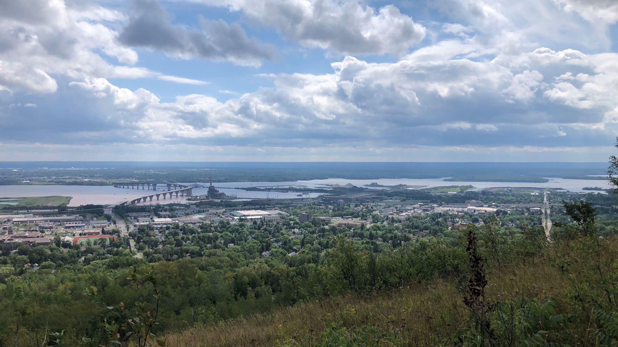
There were several switchbacks as we climbed up and up – and we were rewarded with several views of the harbor as we followed the trail.

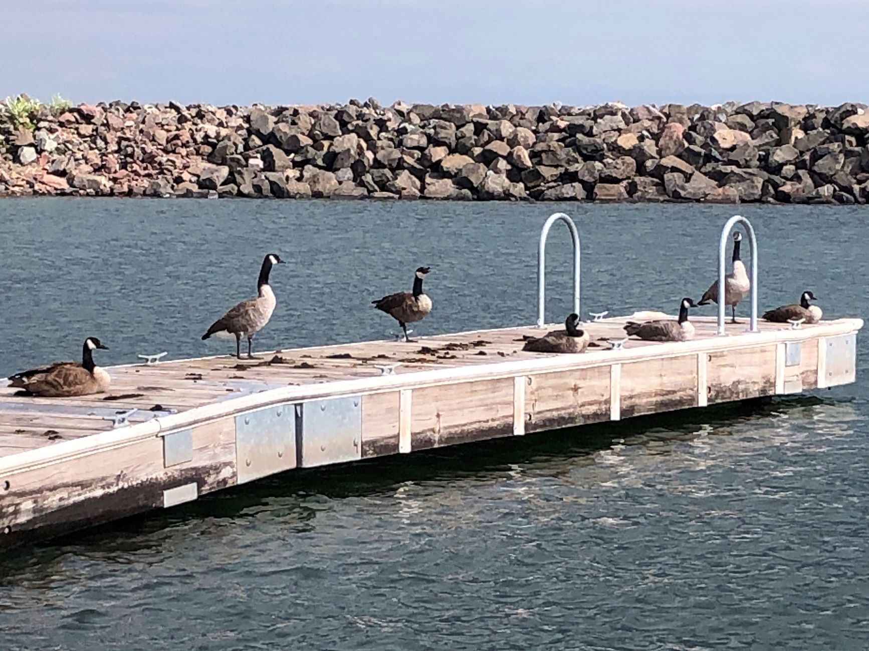
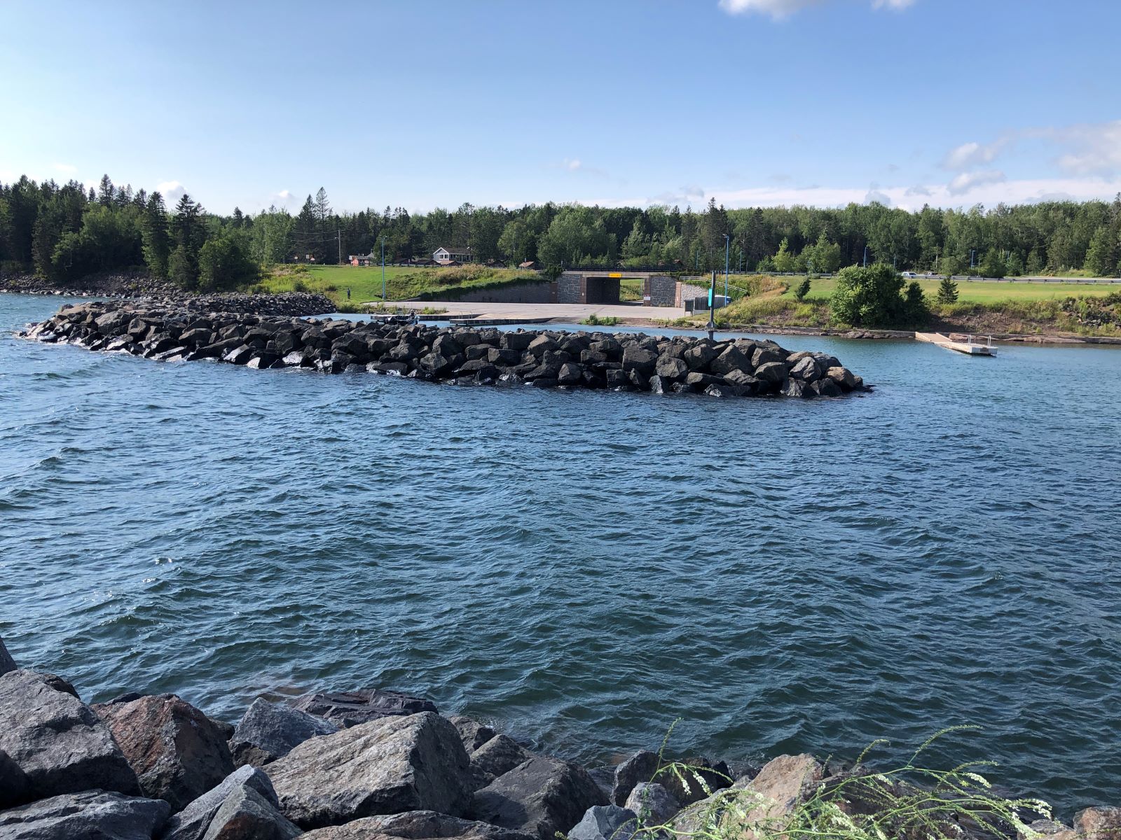
We found a park where we ate our lunch and then drove up the Lake Superior coastline on the scenic route; on Old Highway 61 — as far as the McQuade Road Safe Harbor. Canadian Geese have taken over this dock!
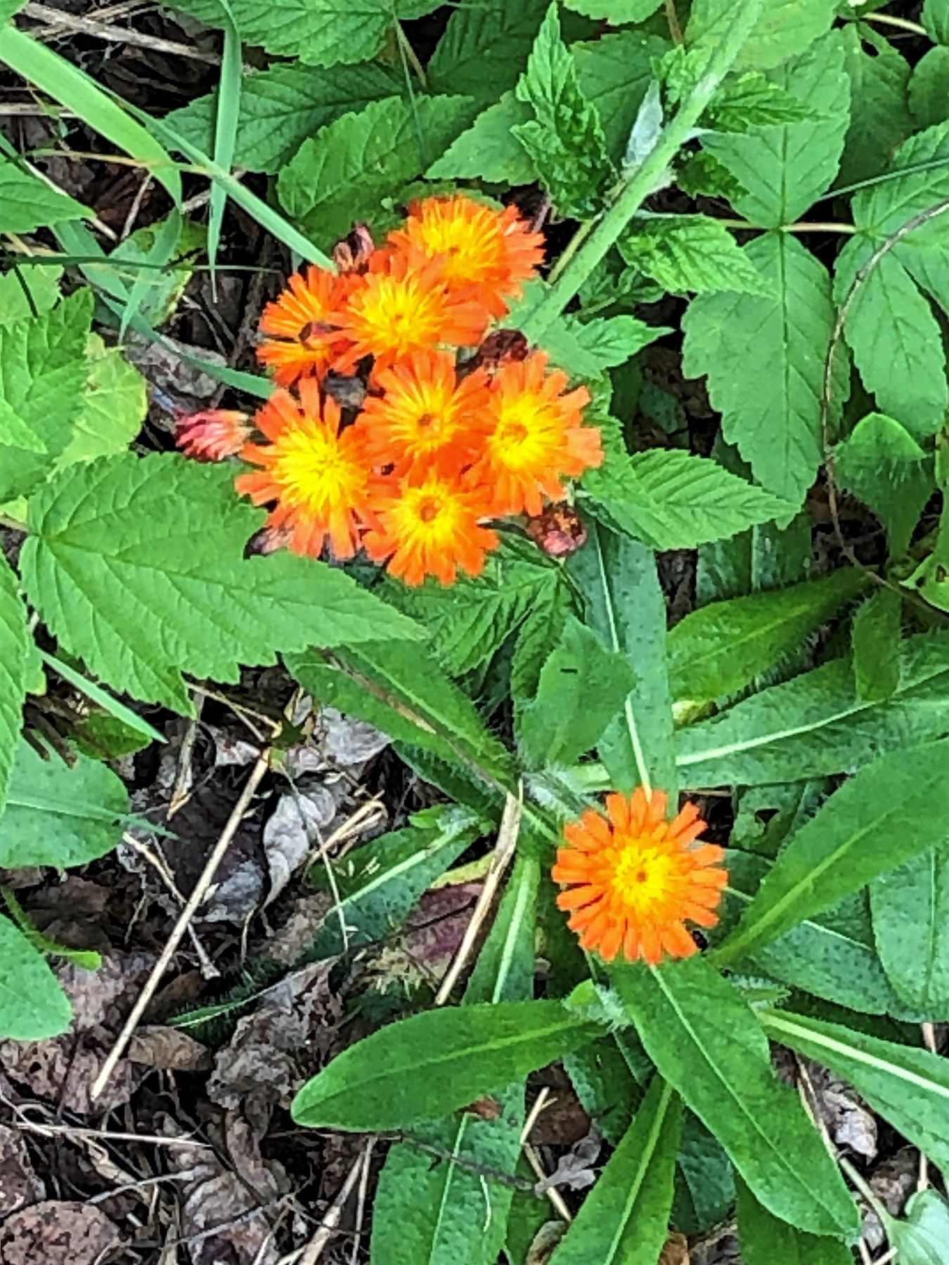
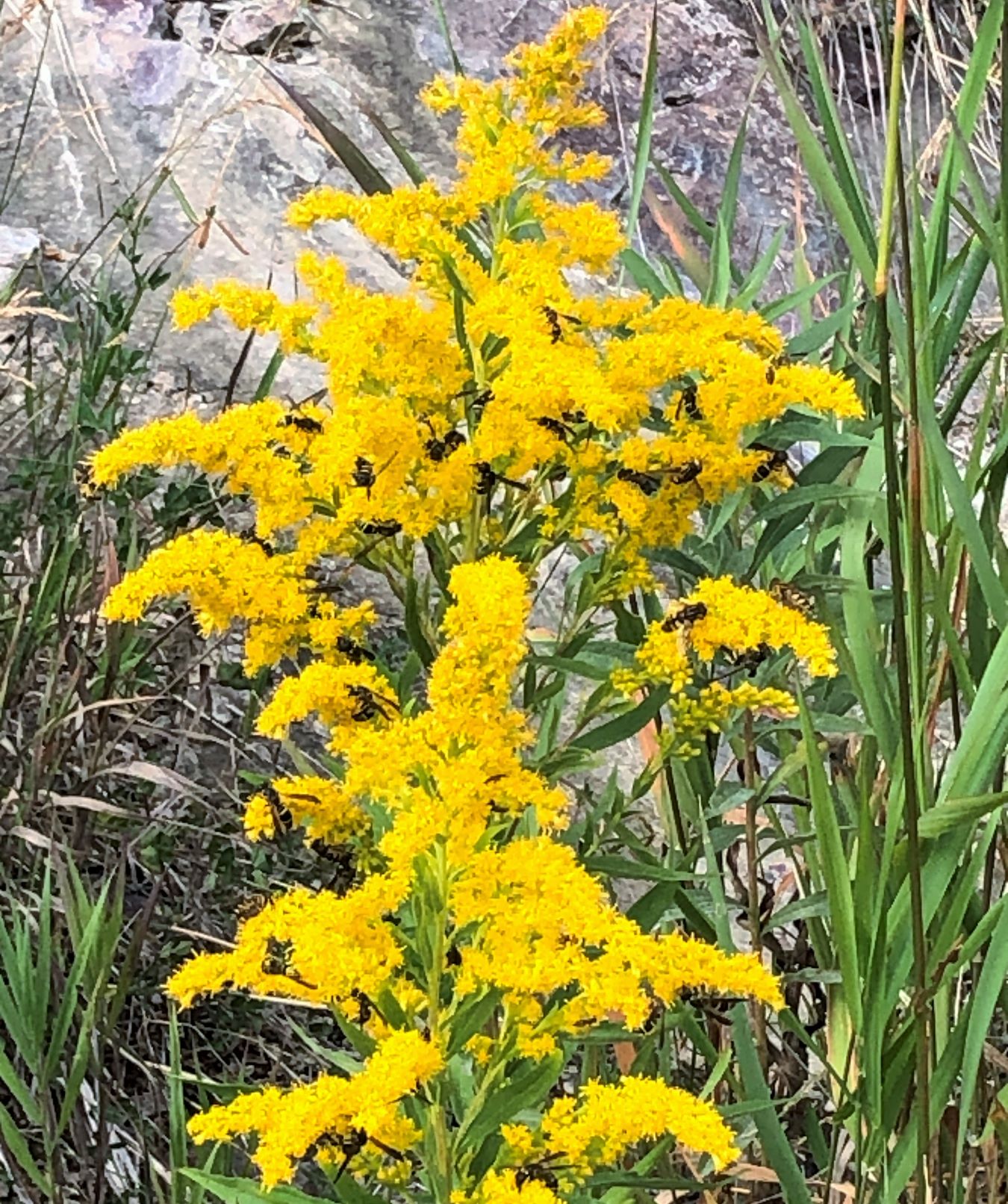
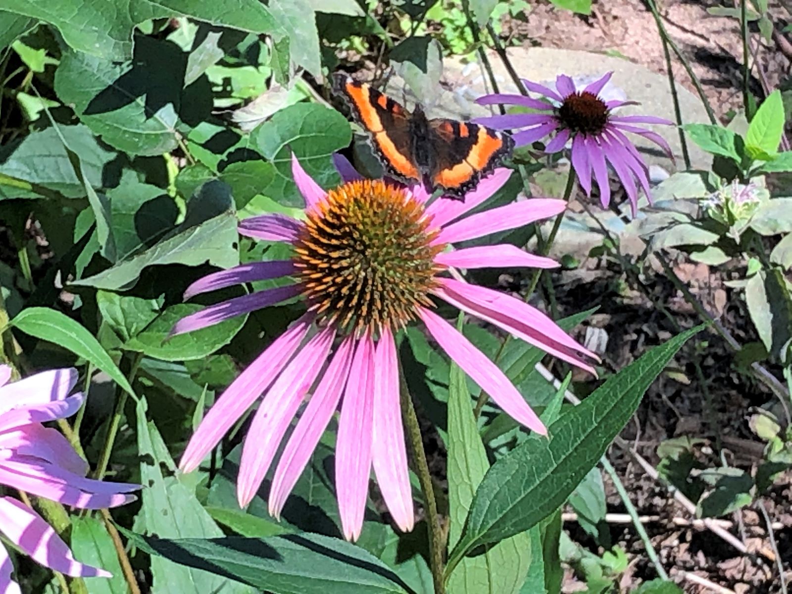
Bees were busy at work on these flowers!
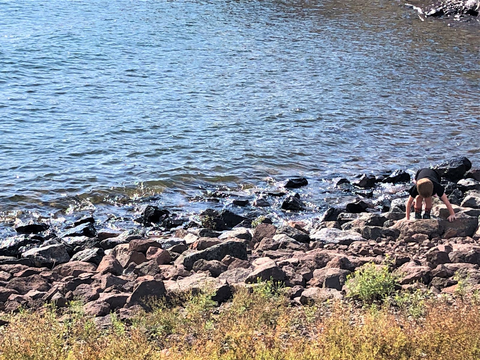
This little boy was having fun climbing on the rocks.
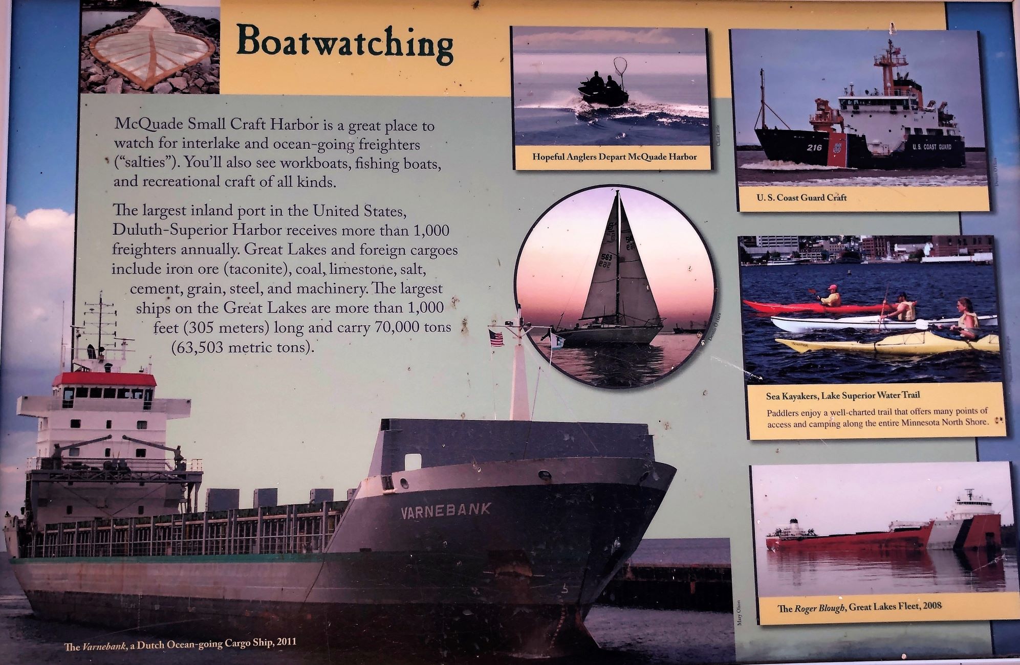
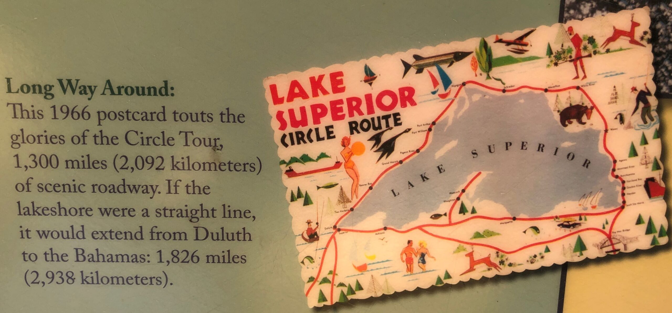
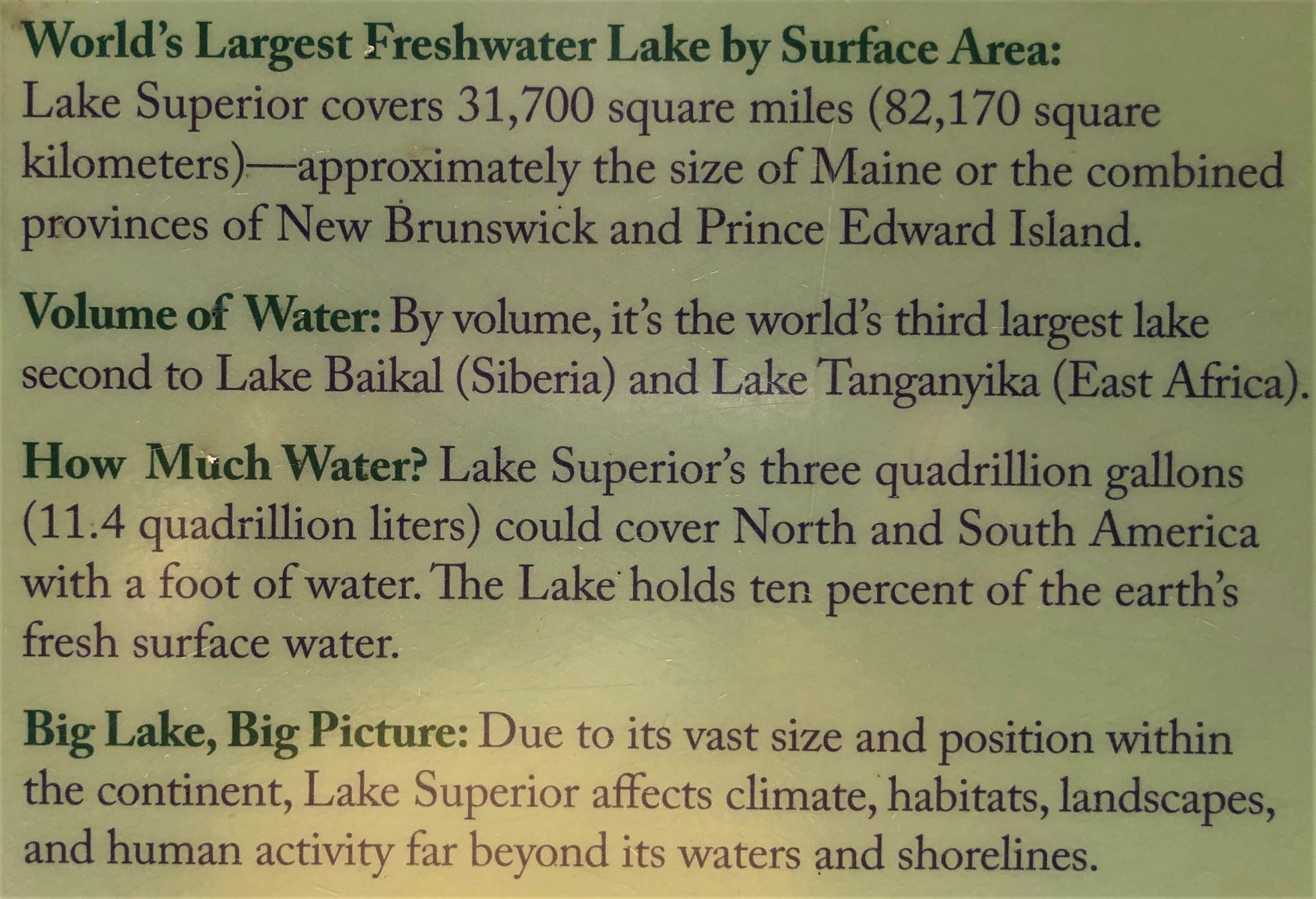
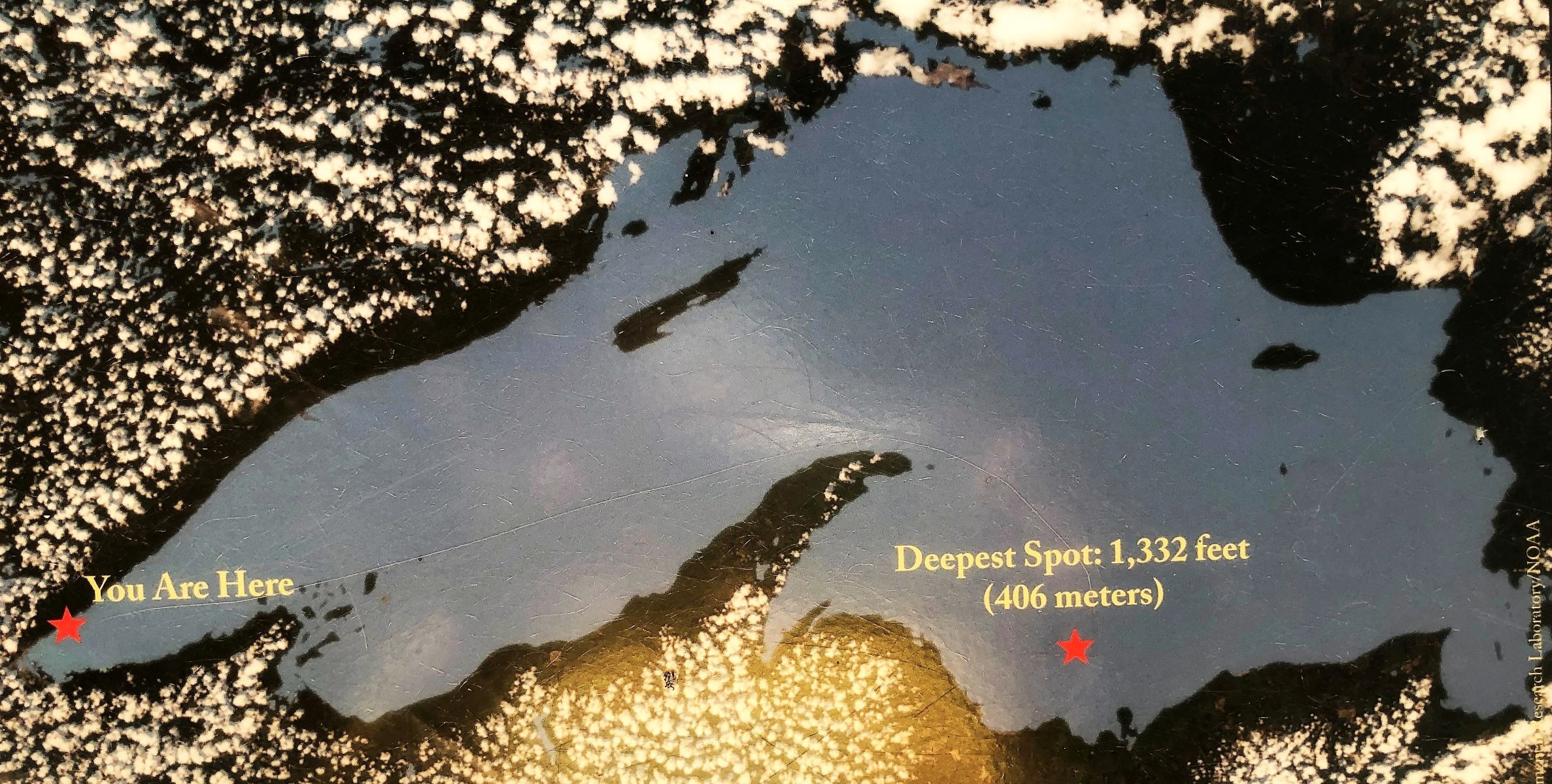
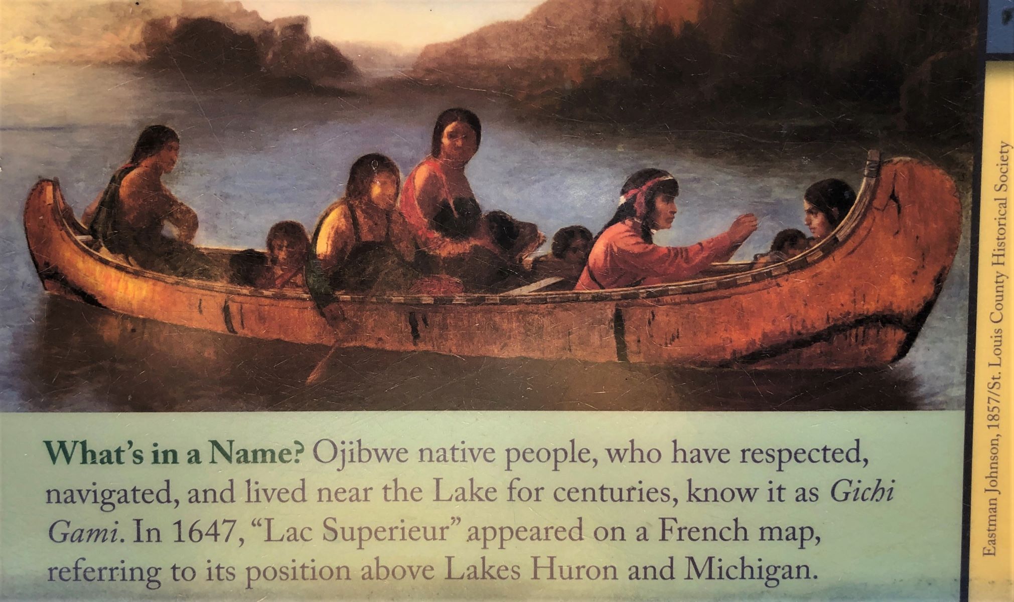
Some fun facts about Lake Superior:
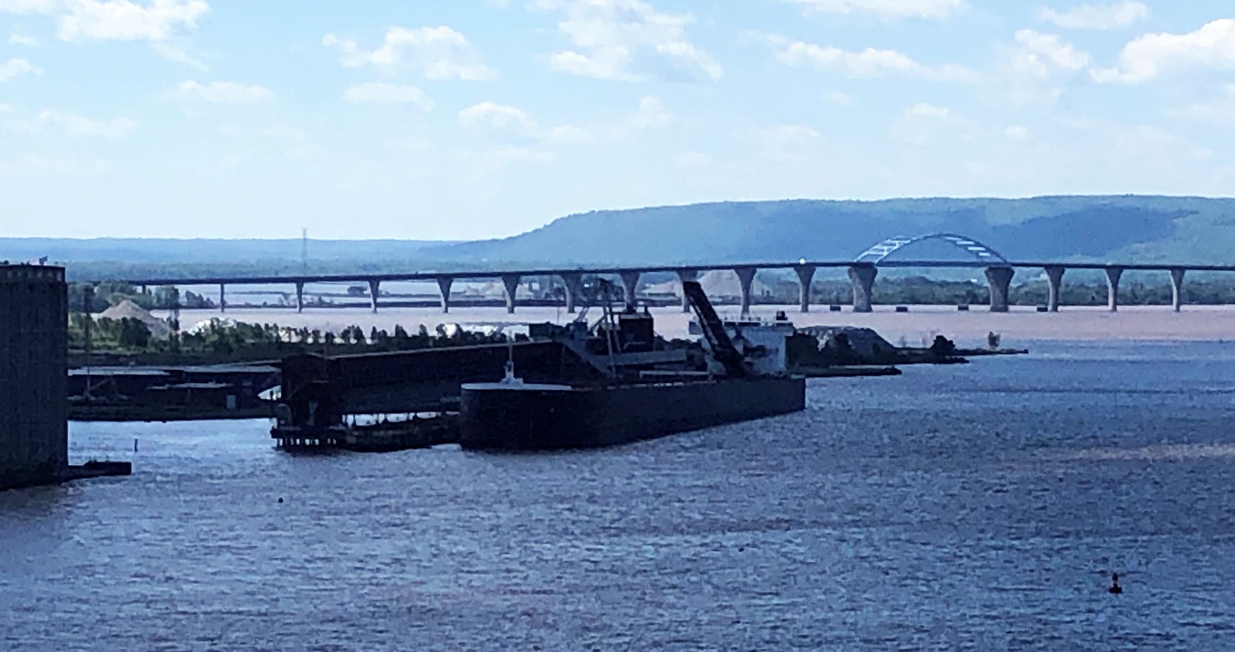
On Tuesday August 30, we left Saginaw about noon; Acey’s mileage 93,666.9, Thor’s 105,503, We drove into Duluth and over the bridge we saw yesterday while hiking.
As we were crossing the bridge, we could see a freighter in the harbor.
Wisconsin welcomed us on the other side!

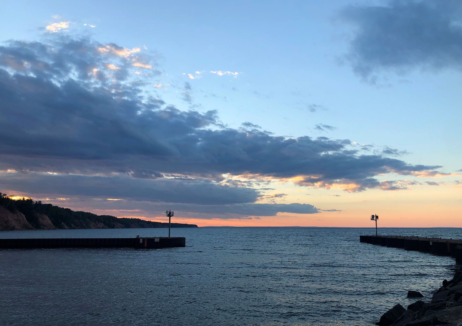
We stopped for fuel and then parked at Walmart to make lunch. We got checked in at Saxon Harbor Campground. in Saxon, WI. Jim found the 50-amp receptacle at our site was messed up, so we are on 30-amp service until they get that fixed. After dinner, we went to watch the sunset at the harbor.

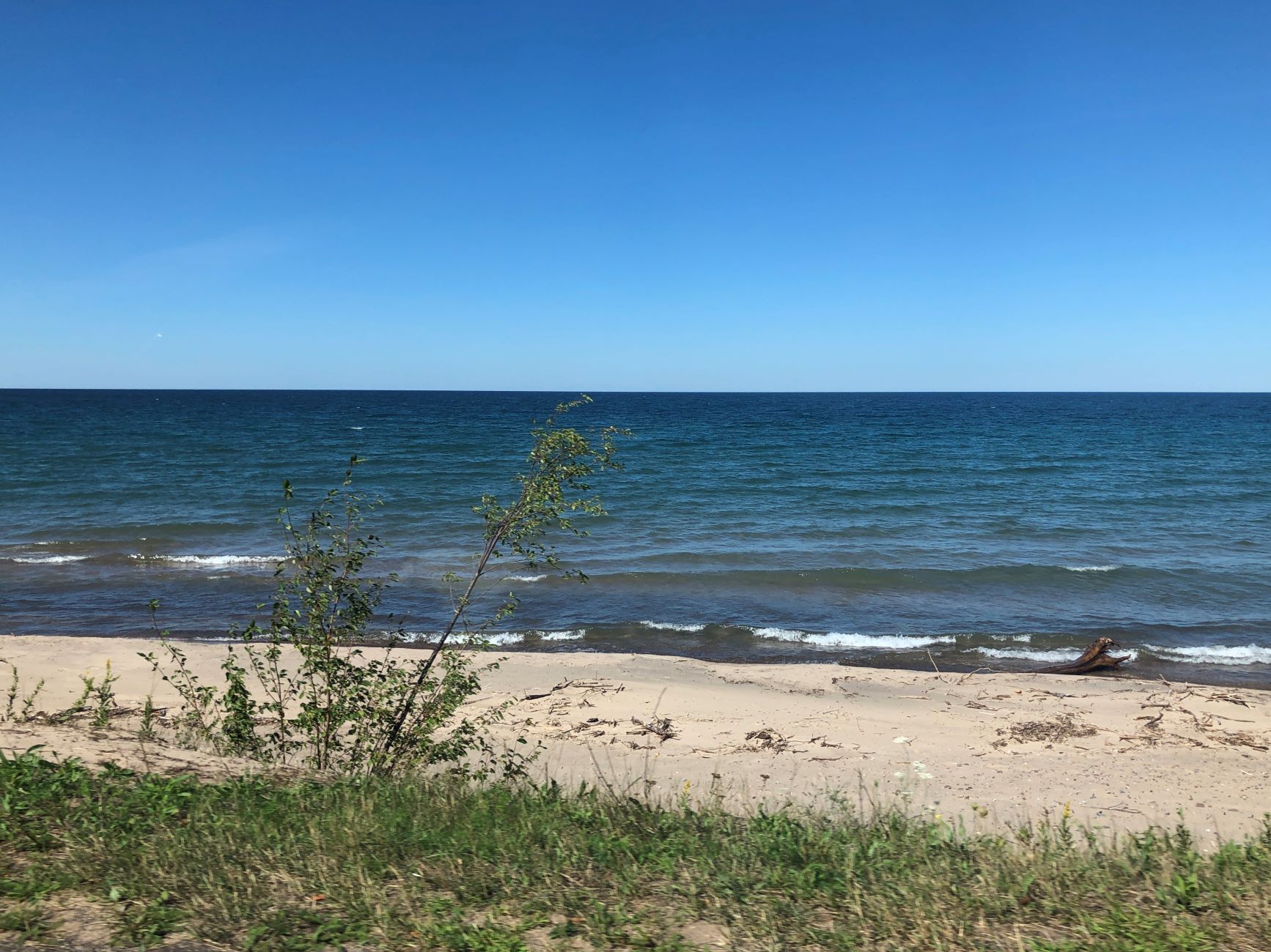
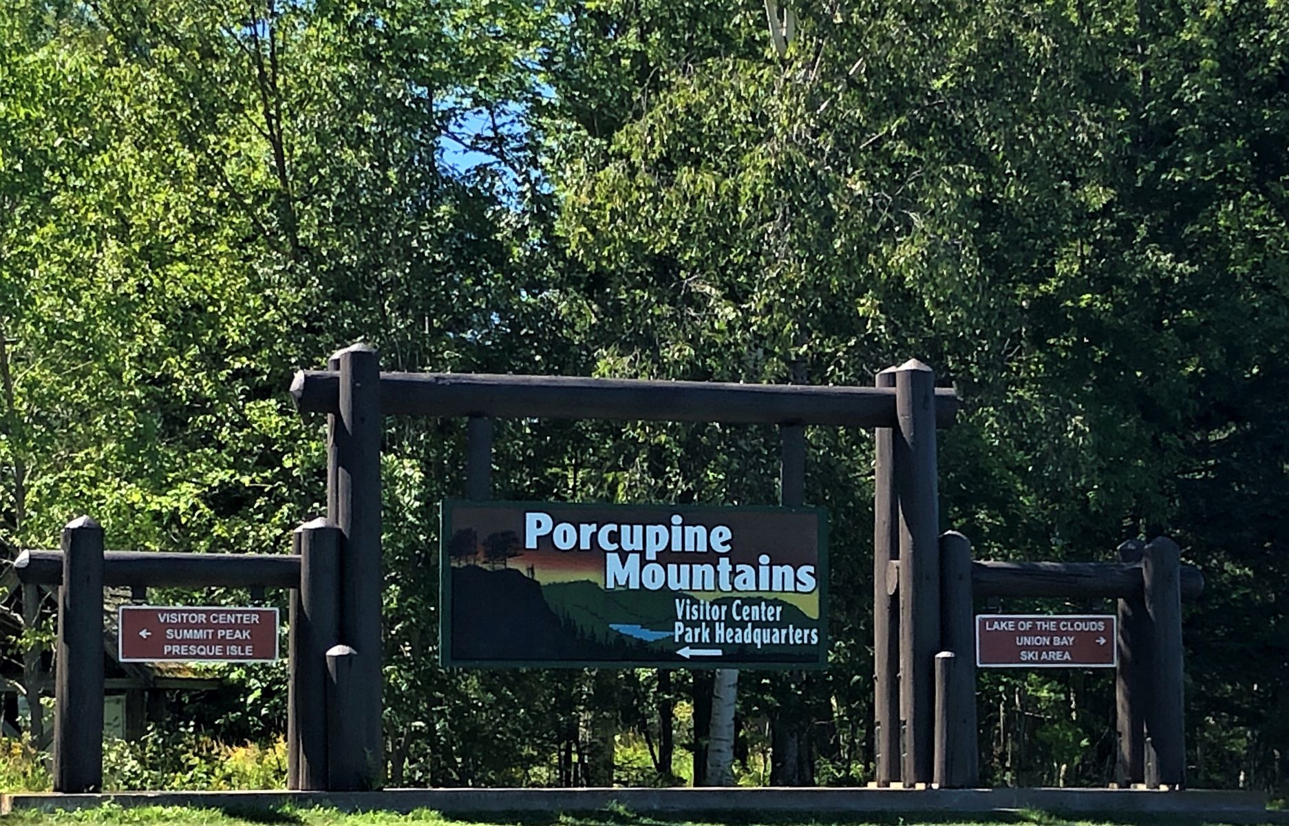
On Wednesday morning, we waited for word on when the maintenance man was coming to fix the 50-amp connection and found out he wouldn’t come until tomorrow, so we packed up lunch and headed out about 11:30 to see Porcupine Mountain Wilderness State Park, just over the state line in Michigan. There was the shore of Lake Superior again!
Our first stop was the Visitor Center.
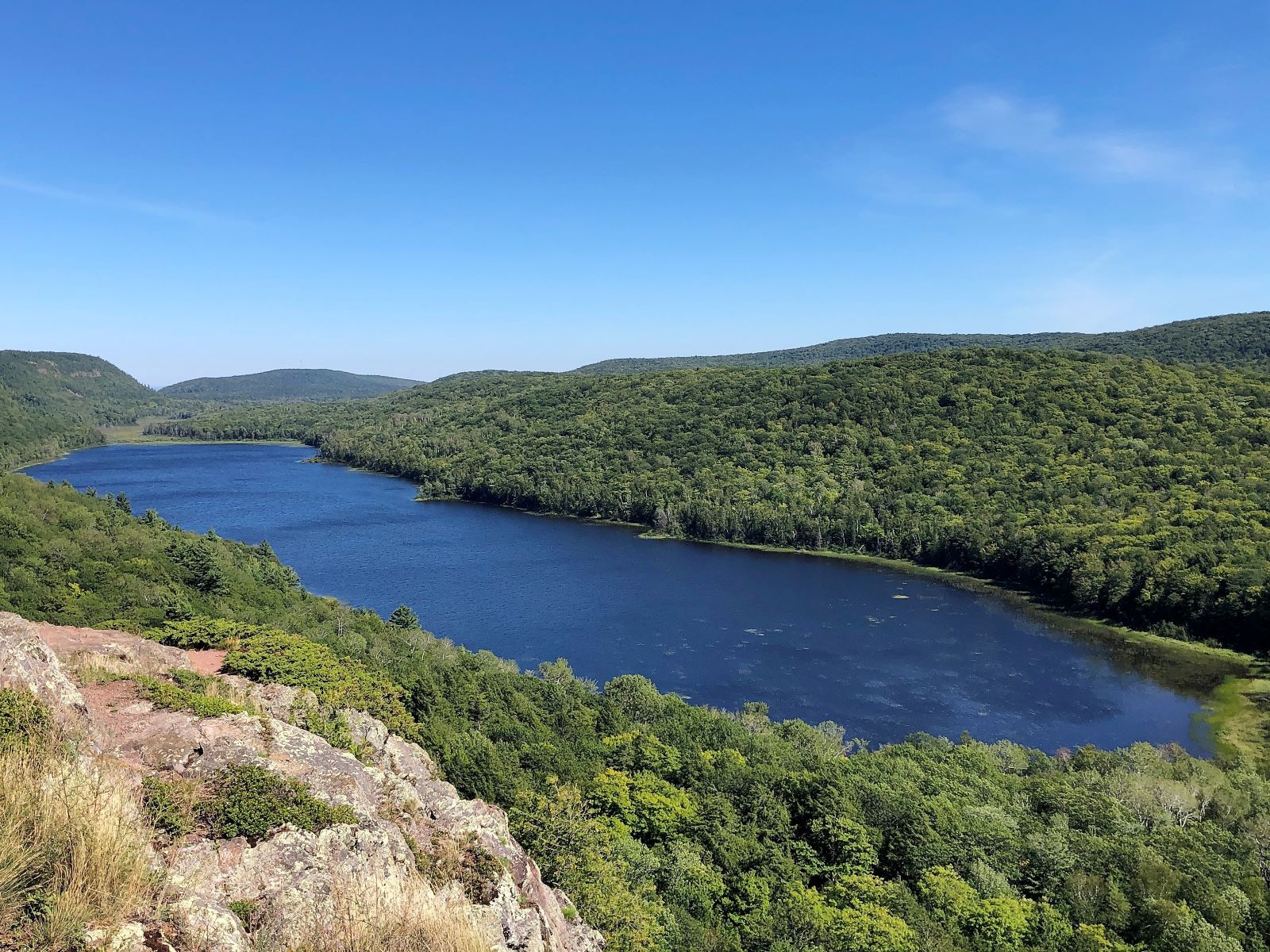
We saw Lake of the Clouds.
And a good view of the “Porkies” and the Big Carp River.
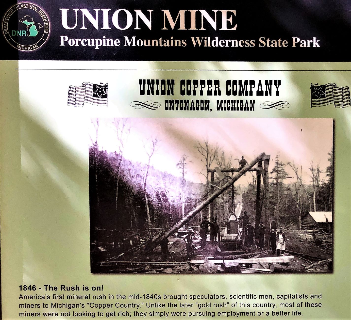
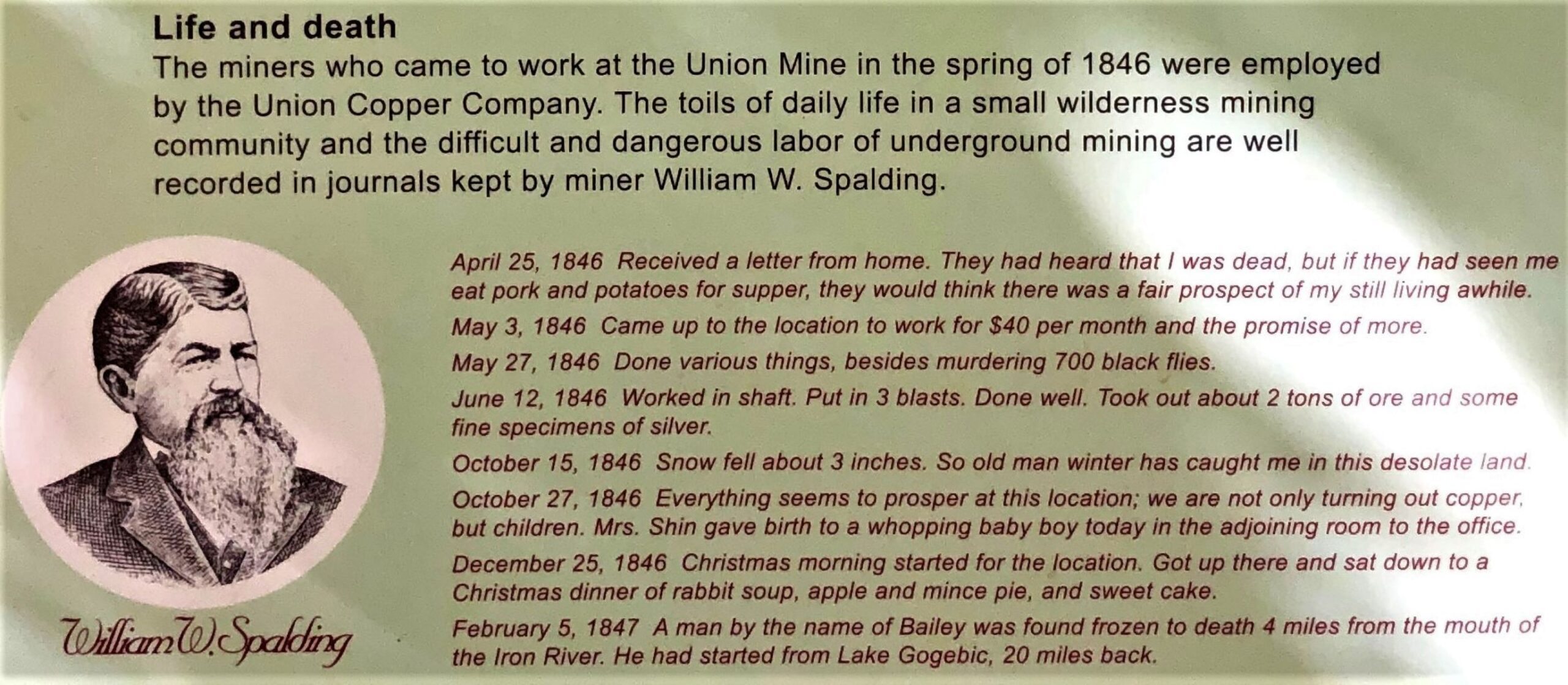
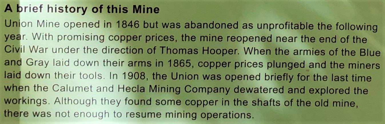
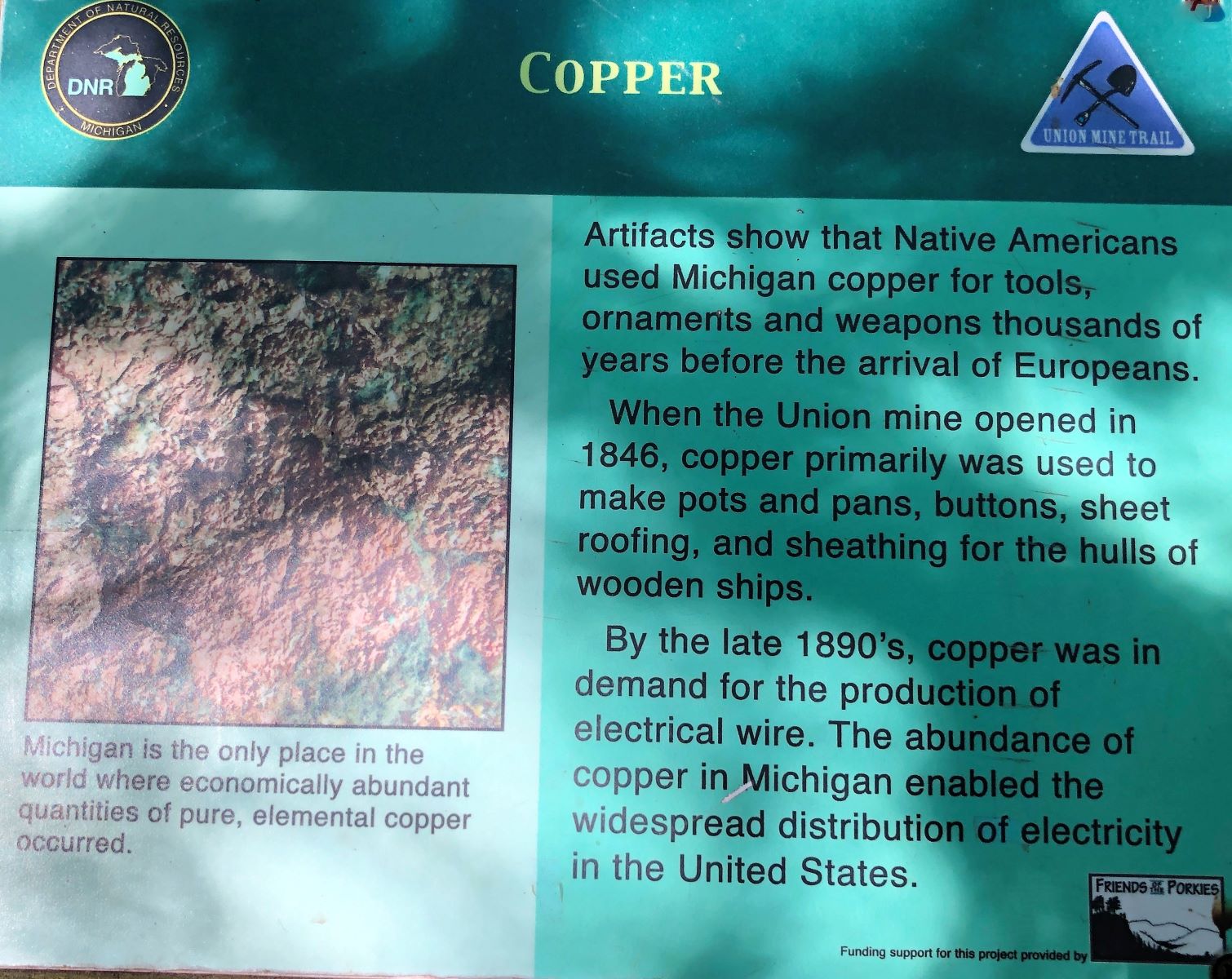
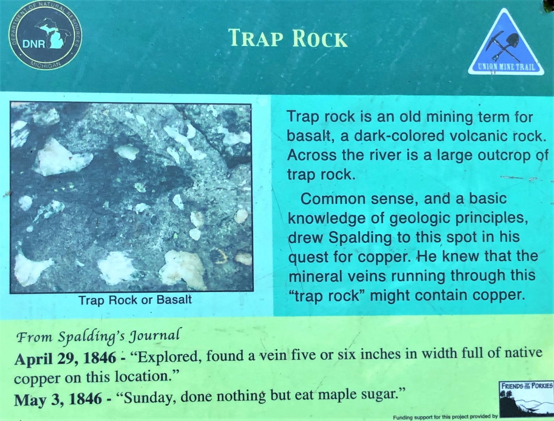
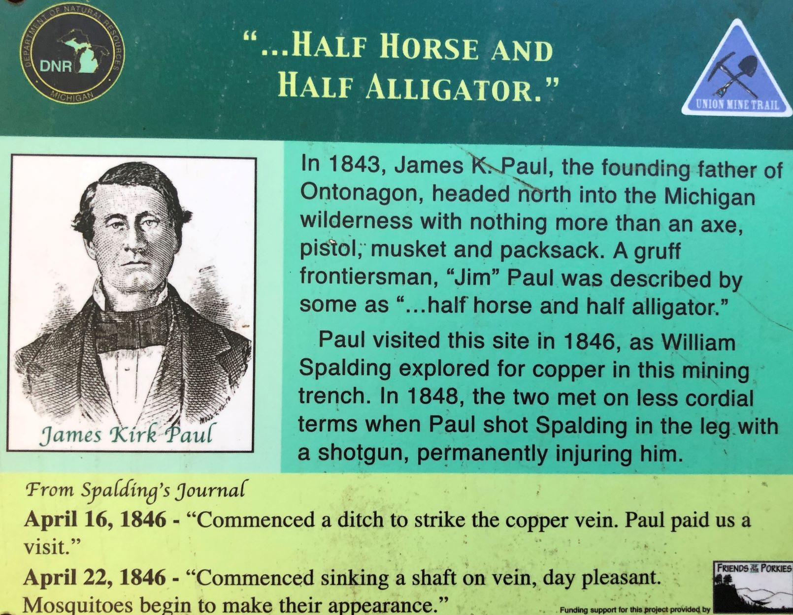
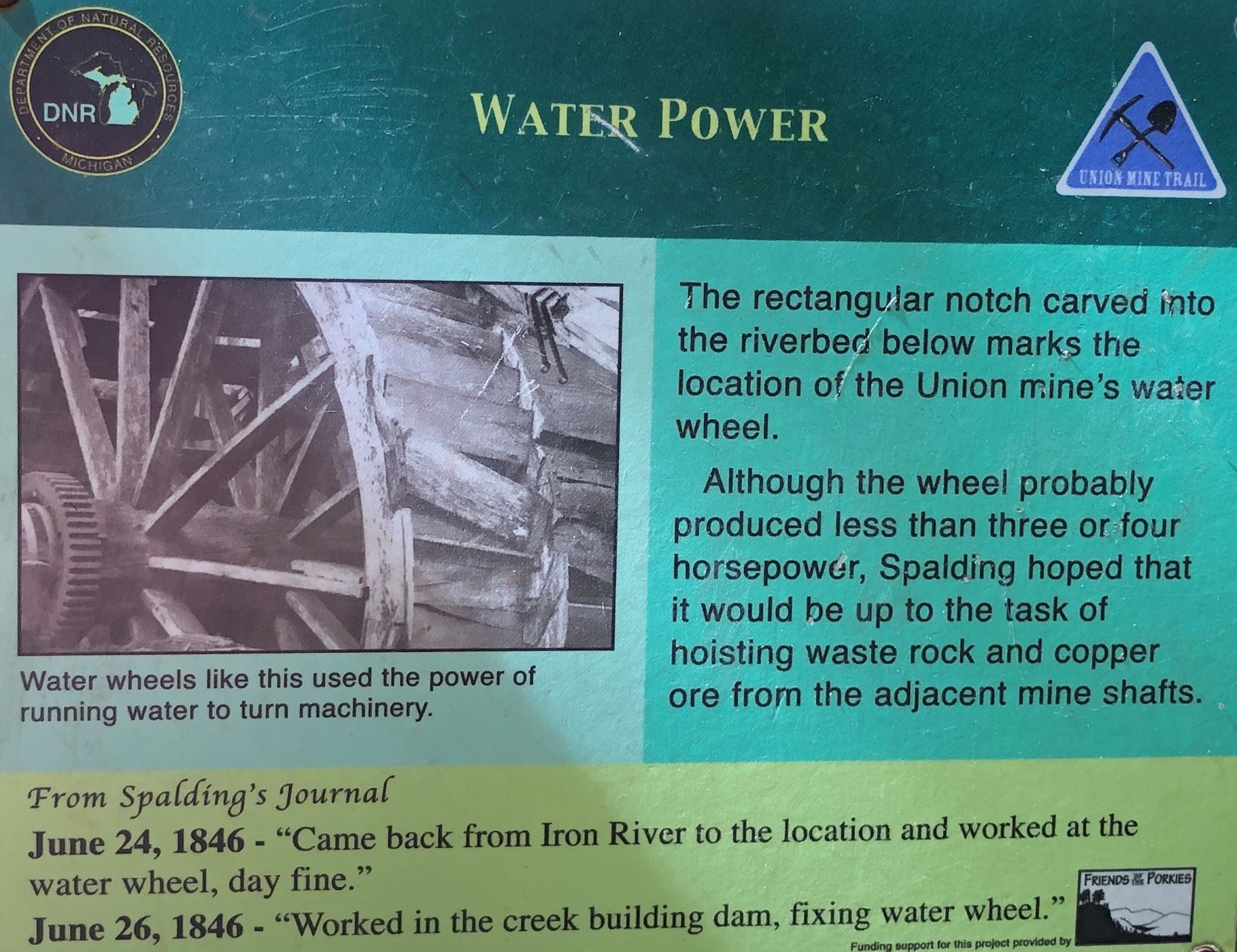
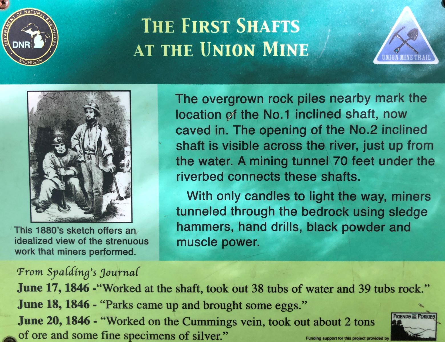
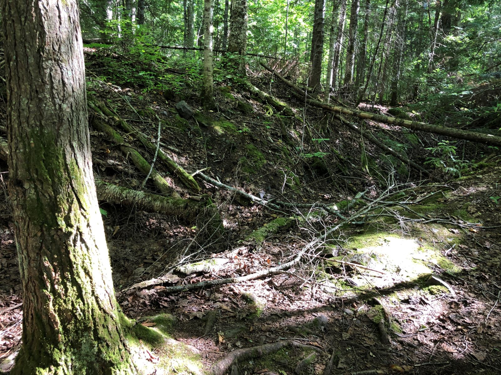
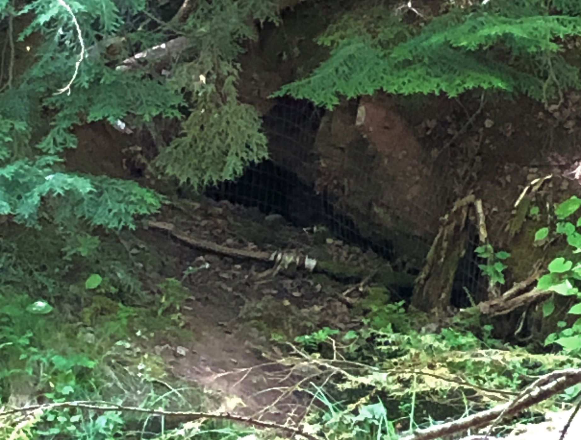
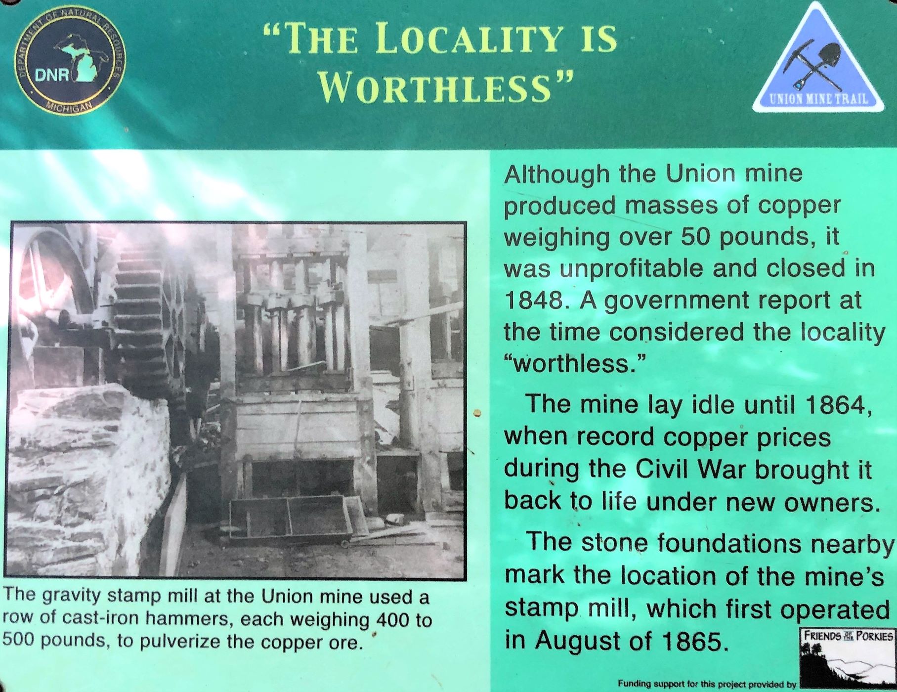
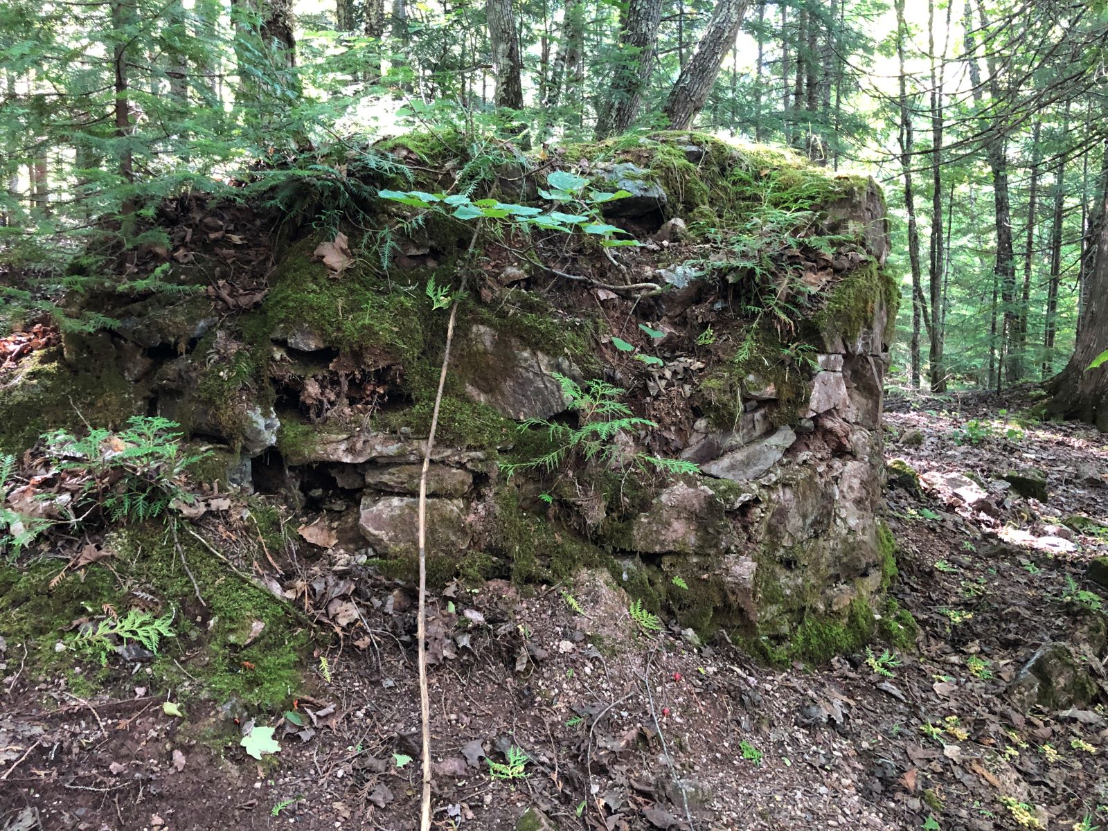
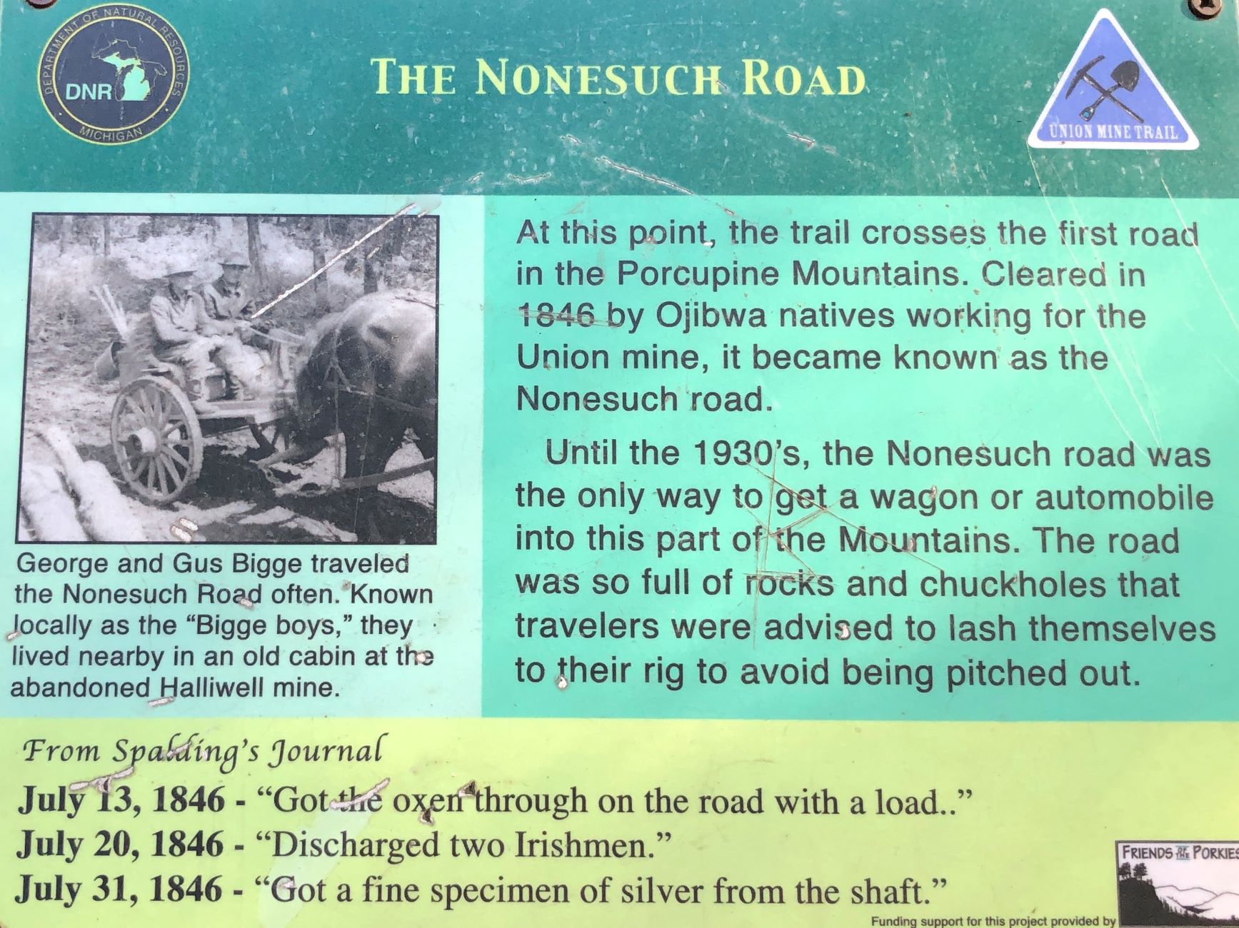
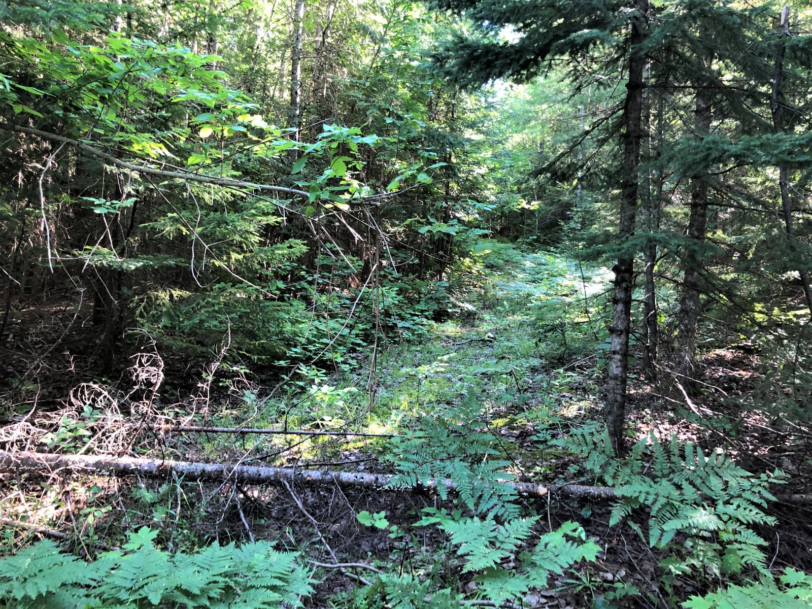
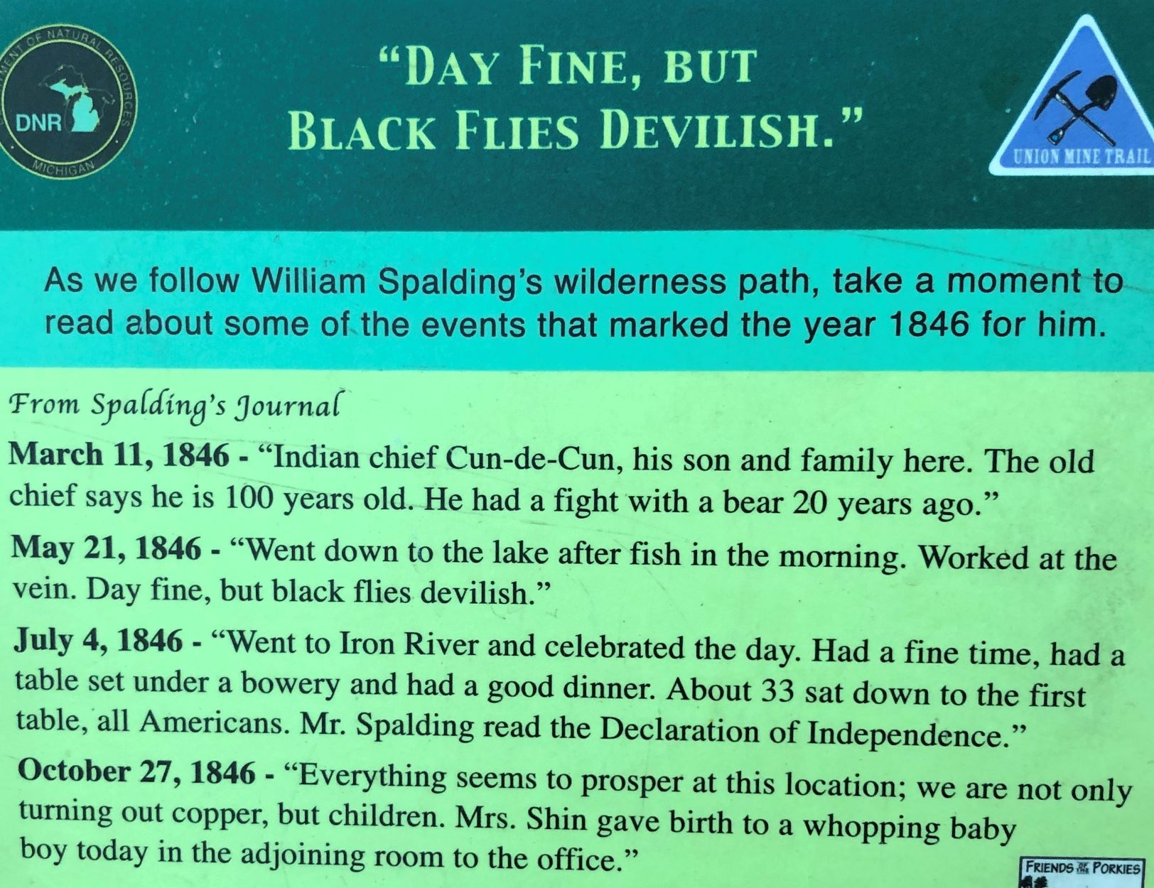
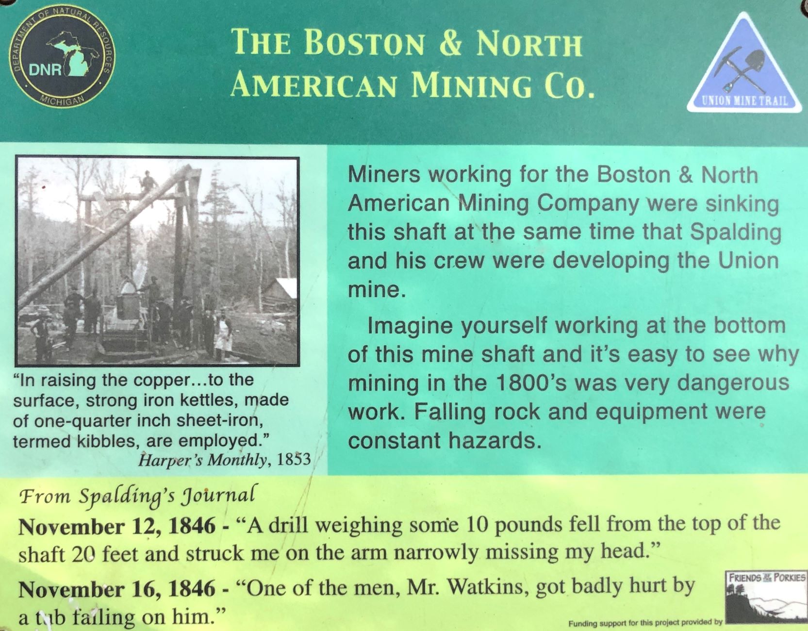
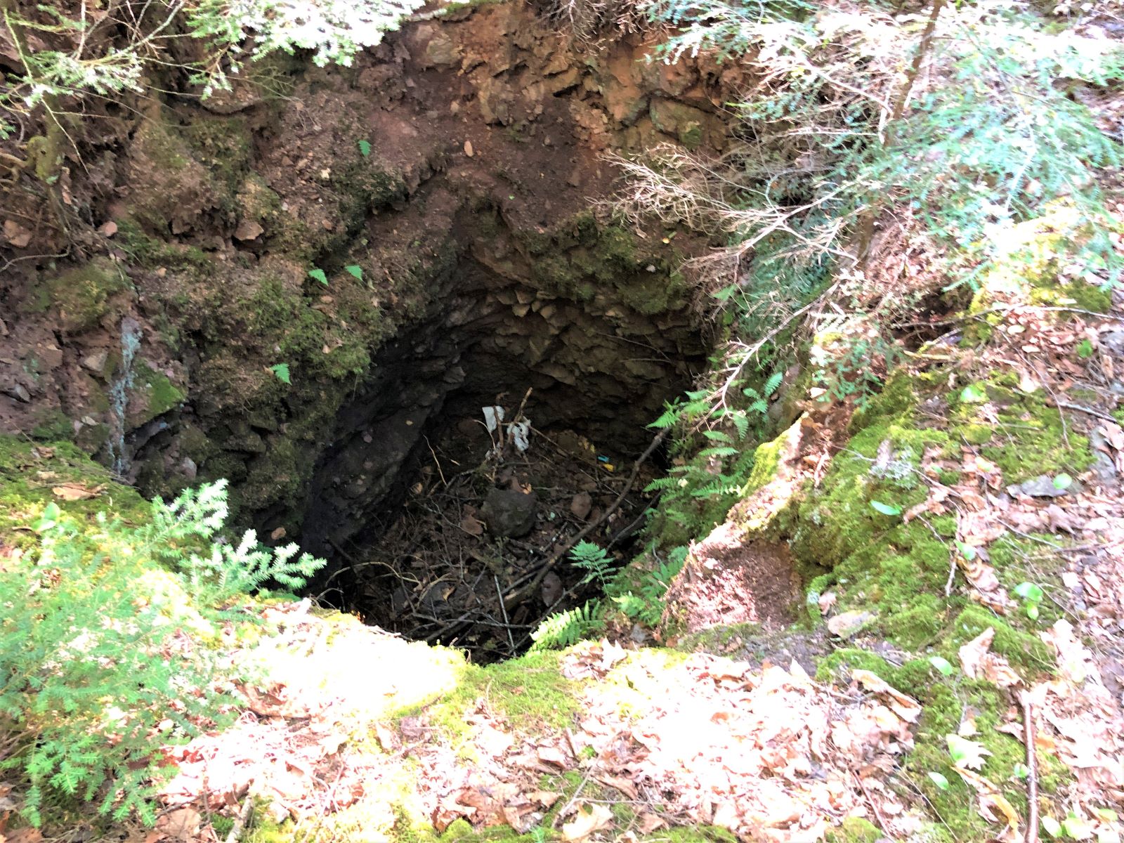
Then we went for a hike/walk on the Union Mine Interpretive Trail to see some history of the copper mining that had been done here.
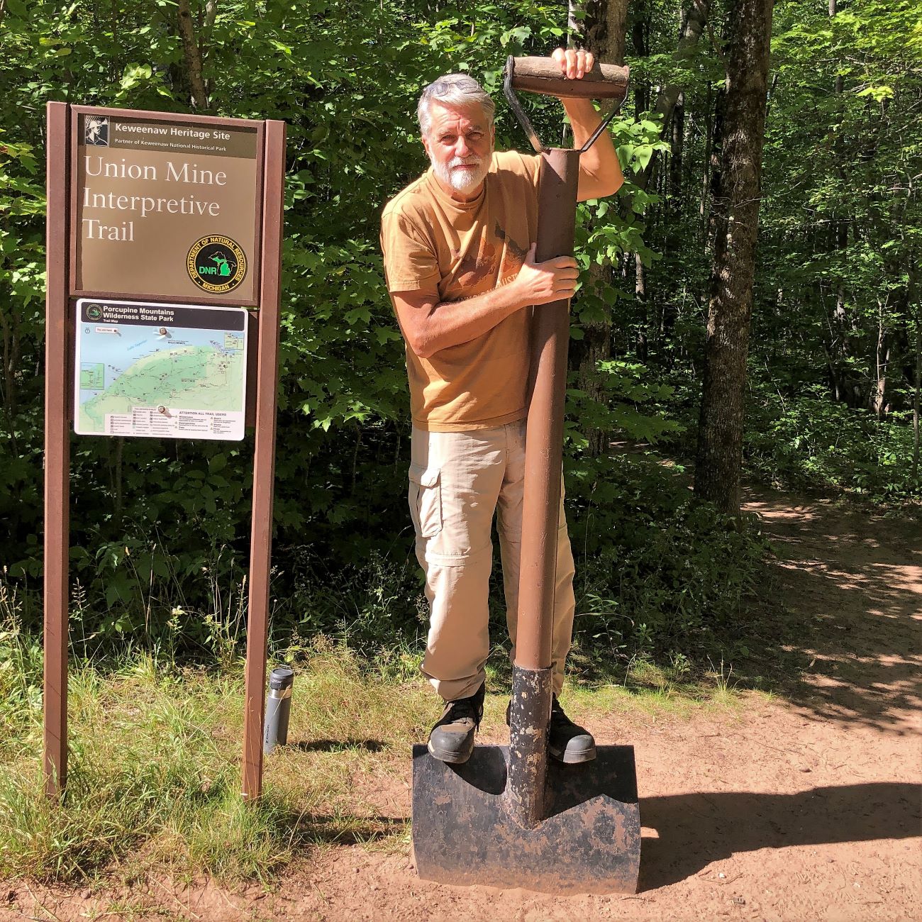
Amazing to note that the copper miners of “America’s first mineral rush” “were not looking to get rich; they simply were pursuing employment or a better life.” The gold rush stampeders we learned about in Canada and Alaska were more interested in “get rich quick” (or so they hoped)!
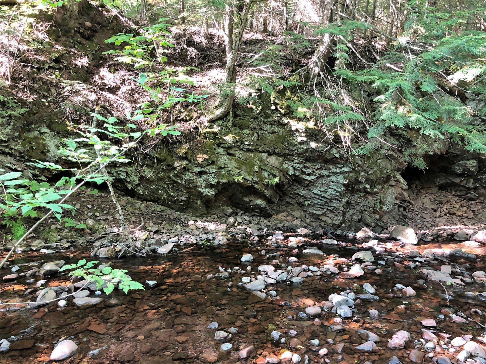
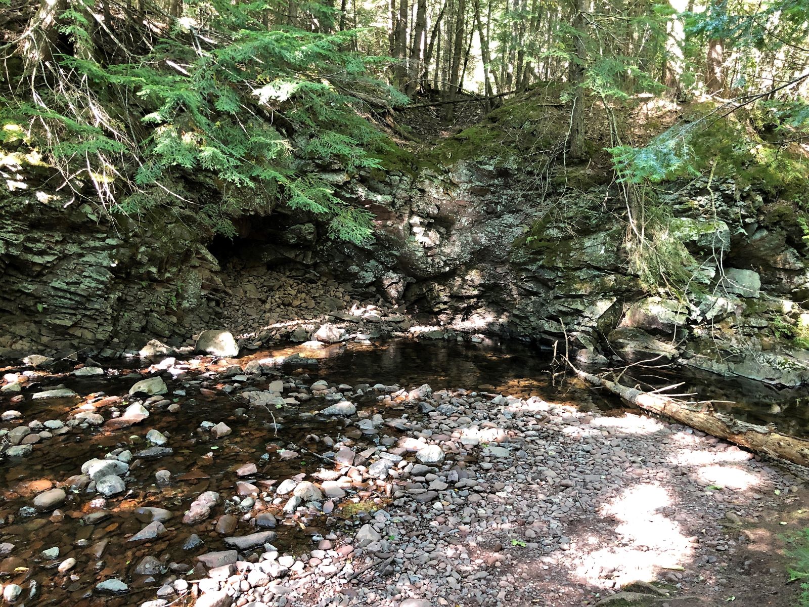
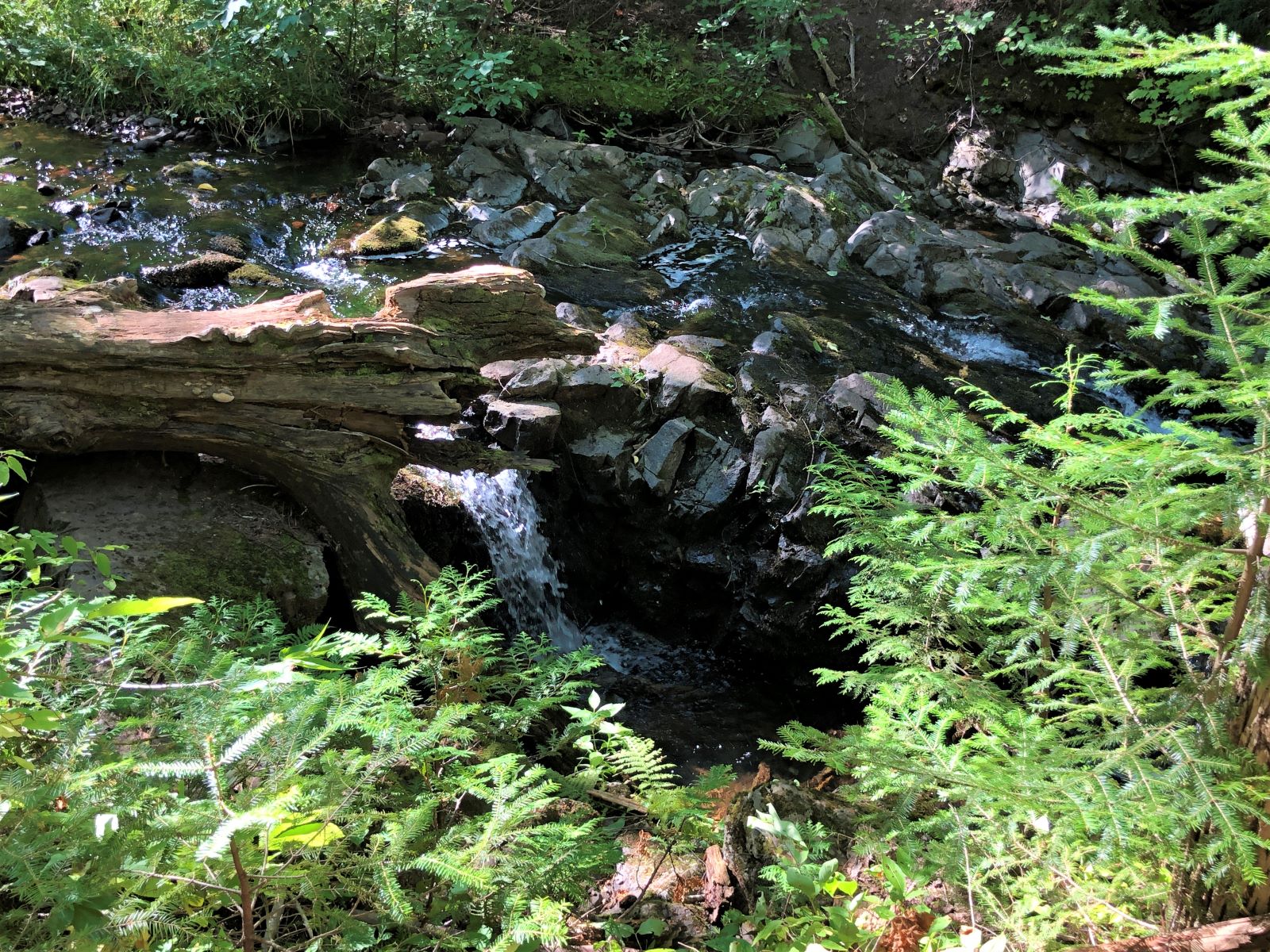
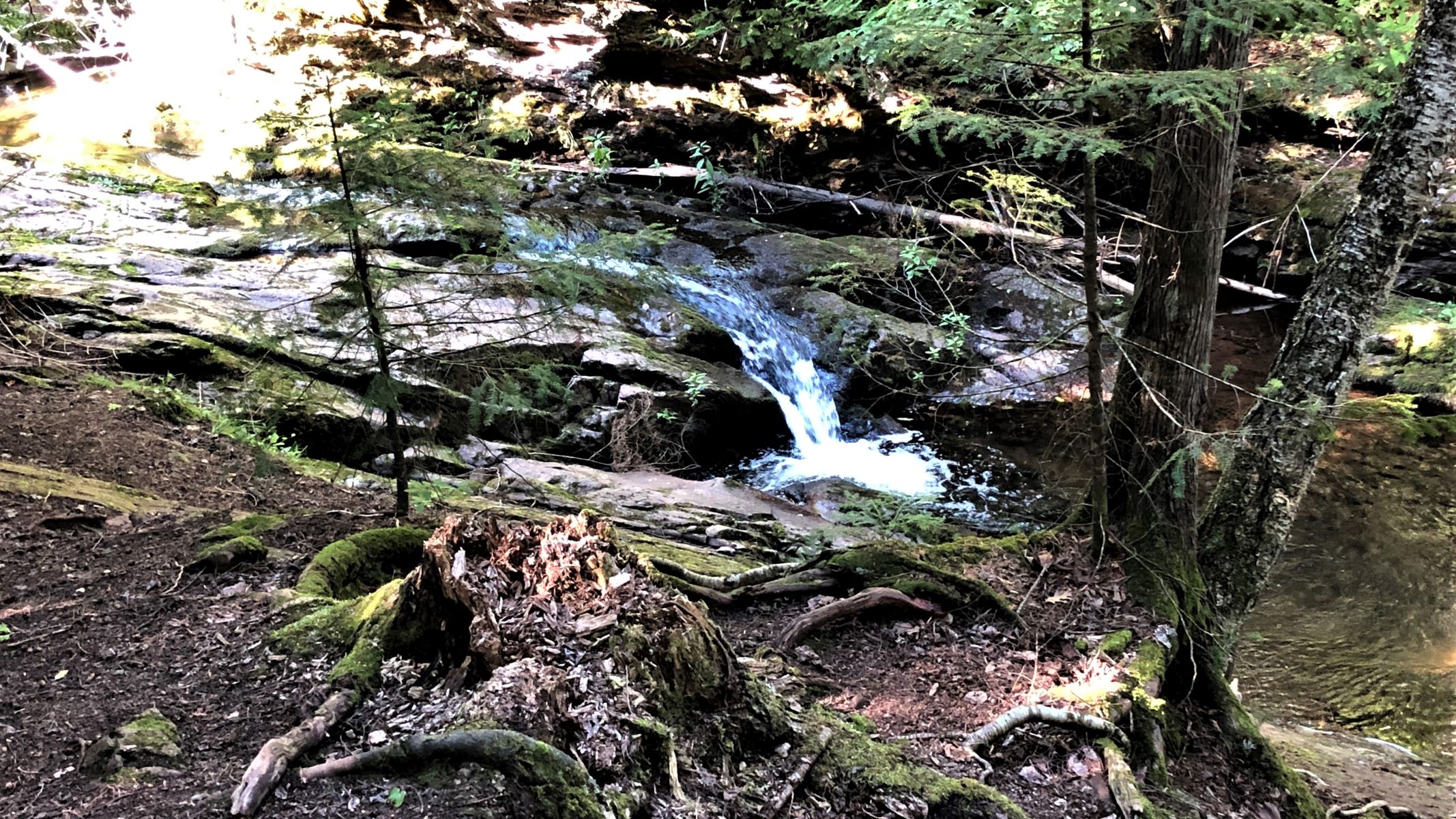
As we walked along the trail, there were some small waterfalls on the Union River. The sun was shining so brightly, the photos didn’t turn out well.
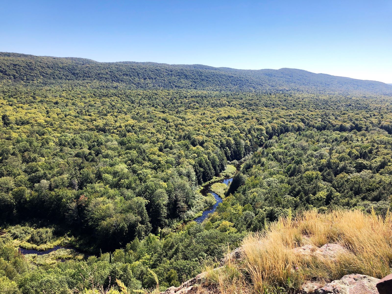
We got back to the Jeep and drove on to see more of the park, stopping at the Summit Peak Scenic Area. There was a good trail and a lot of boardwalk and stairs.
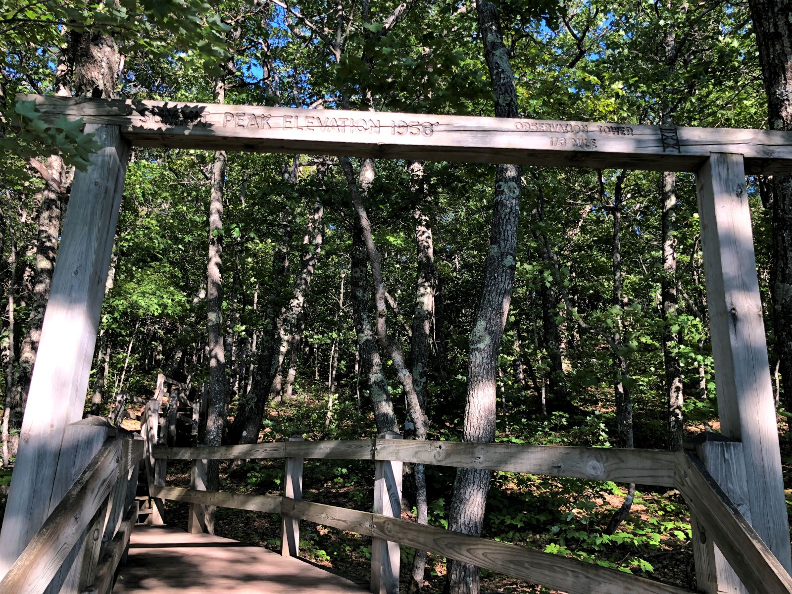
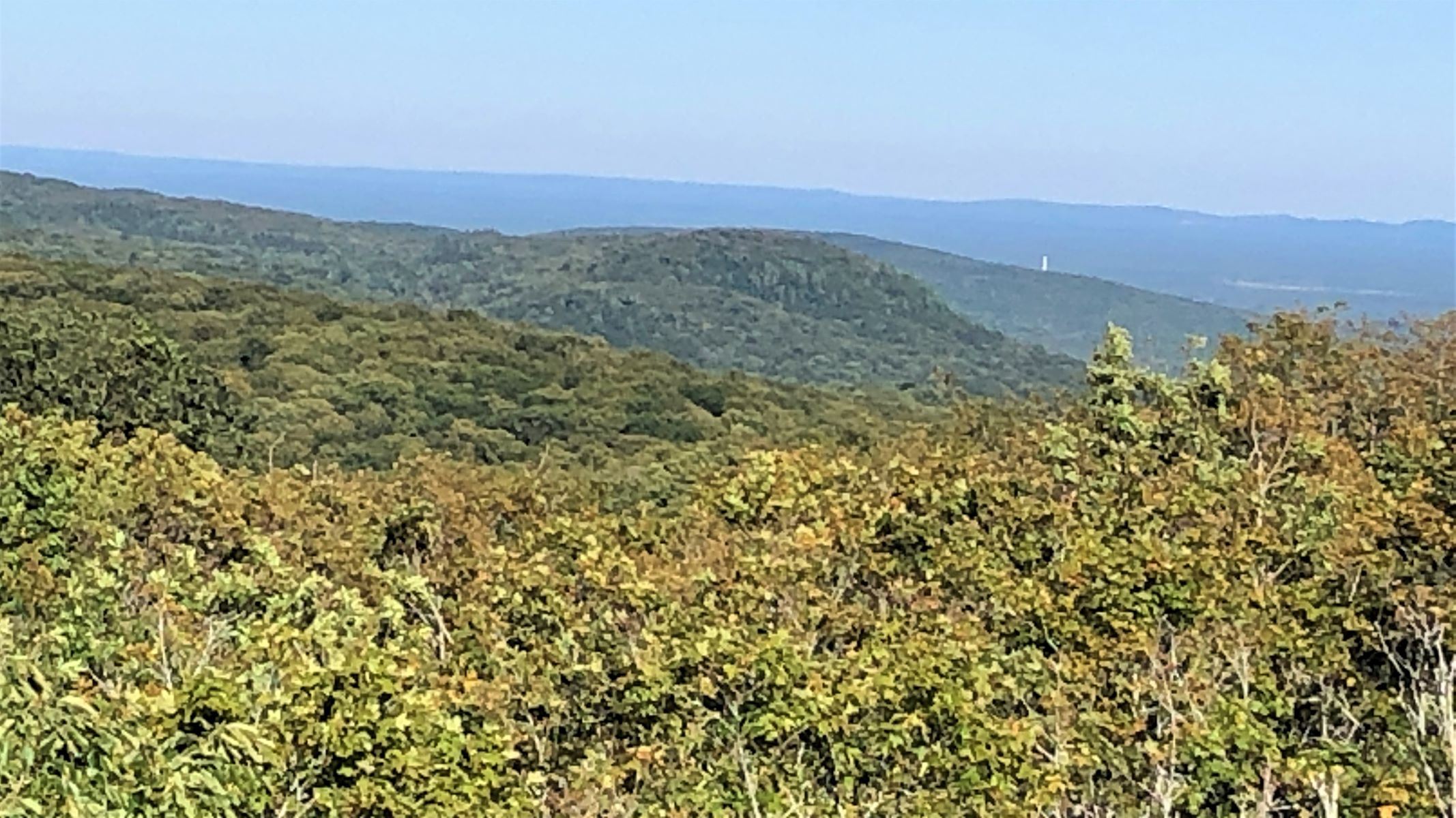
We climbed up the summit tower.
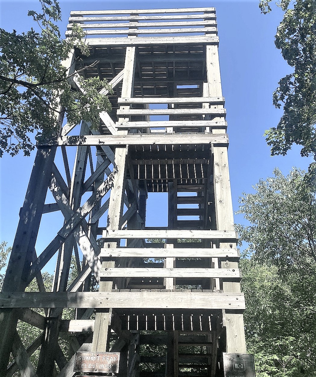
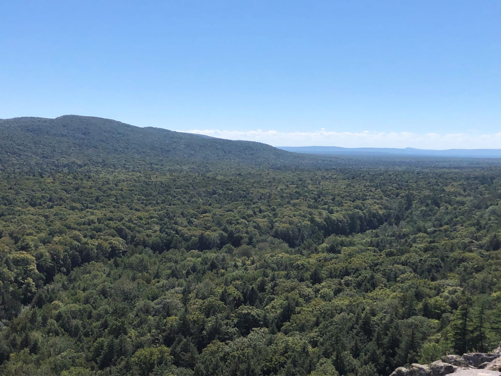
Elevation 1958’. The view was spectacular!
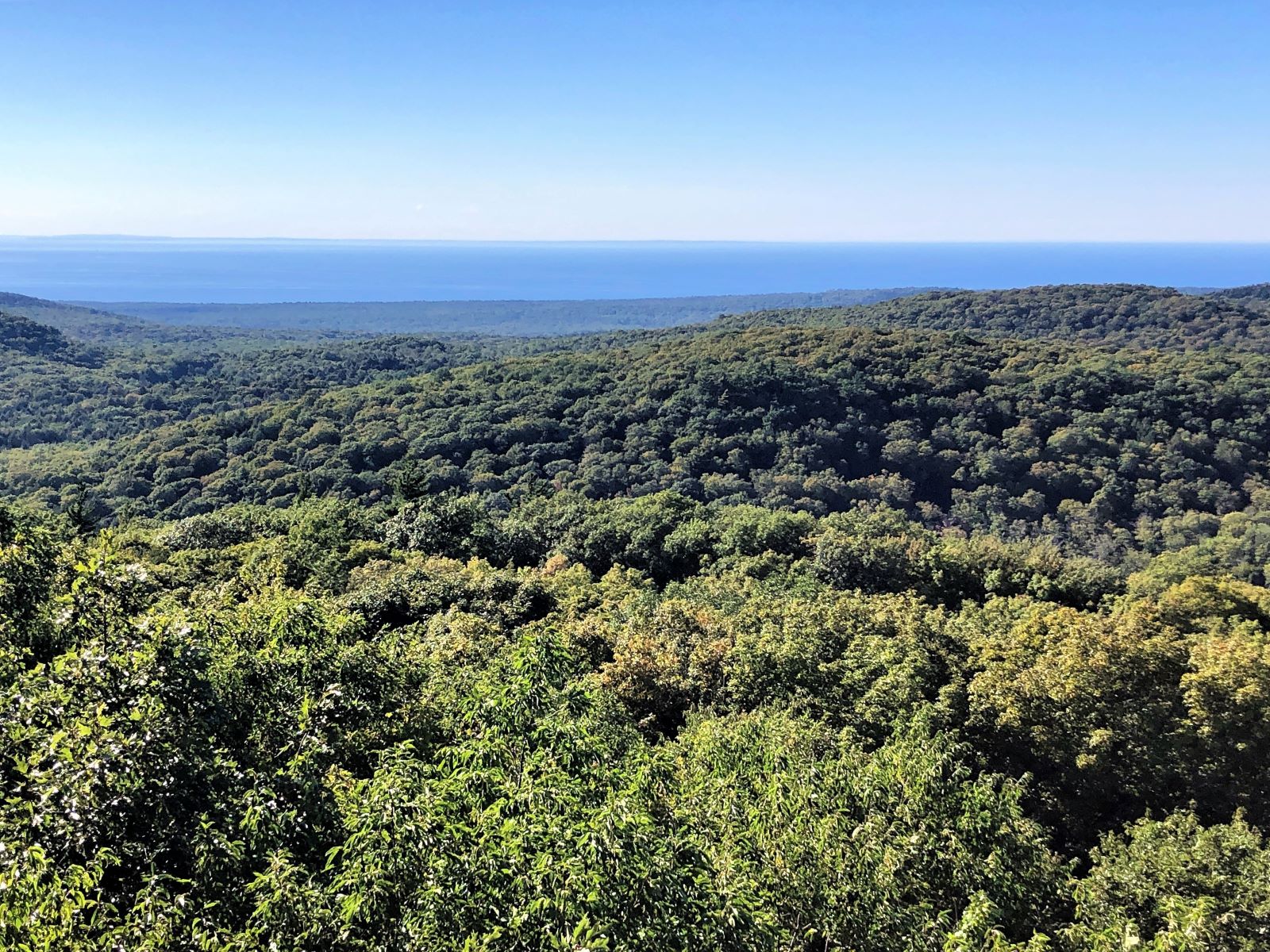
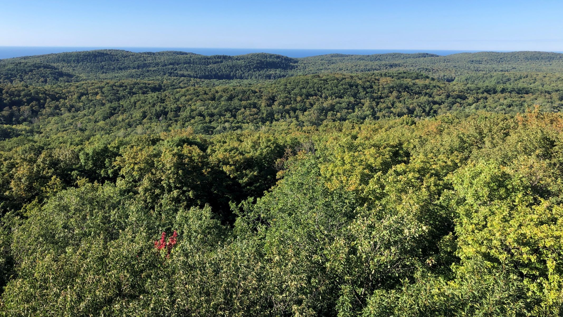
This map indicated what we could see from the tower – and it was a clear day! Too bad we didn’t bring a better camera; our iPhone 8’s do well in most cases… 2085 Mi
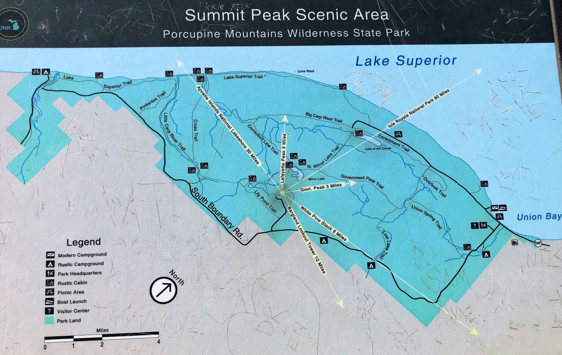
The White Pine Stack shows up, but the Bergland Lookout tower was lost in the shadows.
It was after 5:00 and we had an hour or so drive back to the campground, so we’ll come back tomorrow! When we got back to Acey, there was a note that the 50-amp connection had been fixed; we can have an earlier start in the morning!
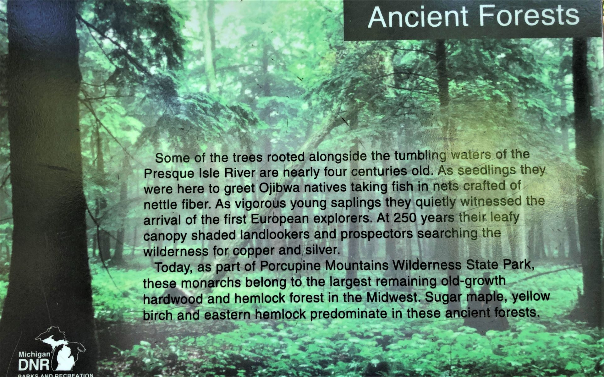
Thursday, we had an early start to return to the Porcupine Mountains. We had an interesting comment from Cousin Randy who said that a co-worker from Brussels visited the Porkies. He said he stood on an overlook gazing at Lake Superior, and over his shoulders the tiny little Porcupine Mountains. He thought Americans were crazy calling these mountains, and that body of water a lake! It DOES seem a bit ironic to call these small hills “mountains”, and the huge body of water a lake… but it is a great place to spend some time exploring! We started out on the western side of the park, in the Presque Isle area.
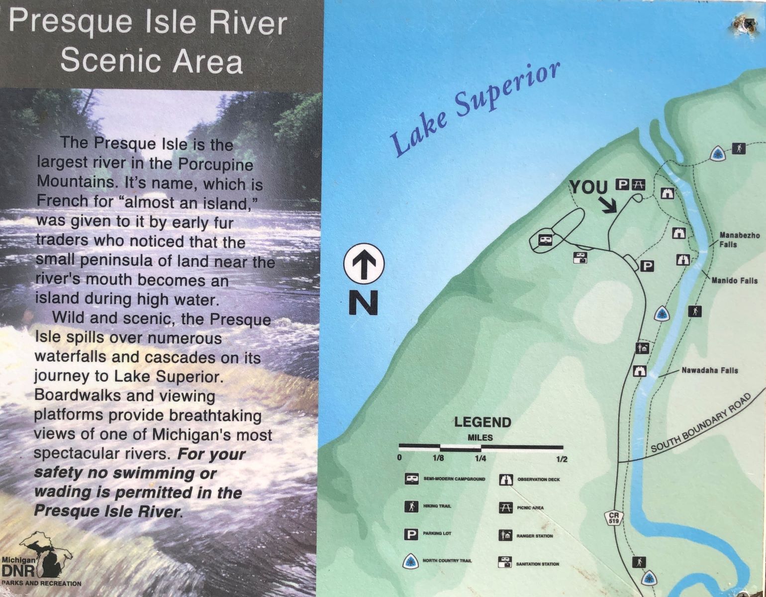
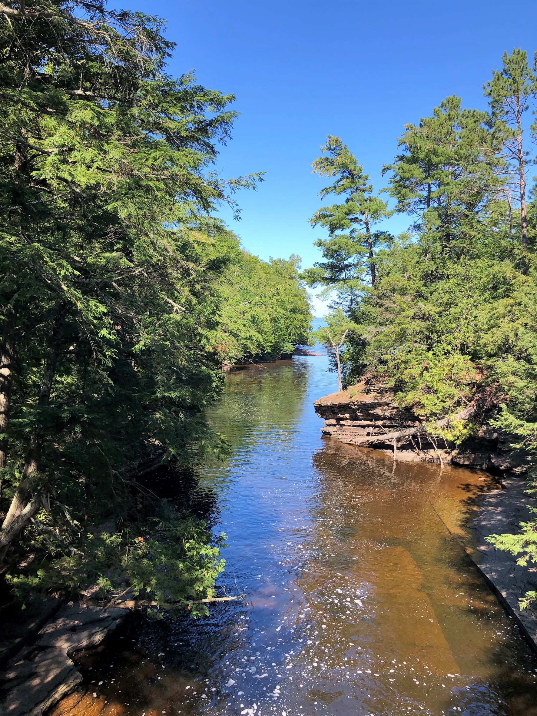
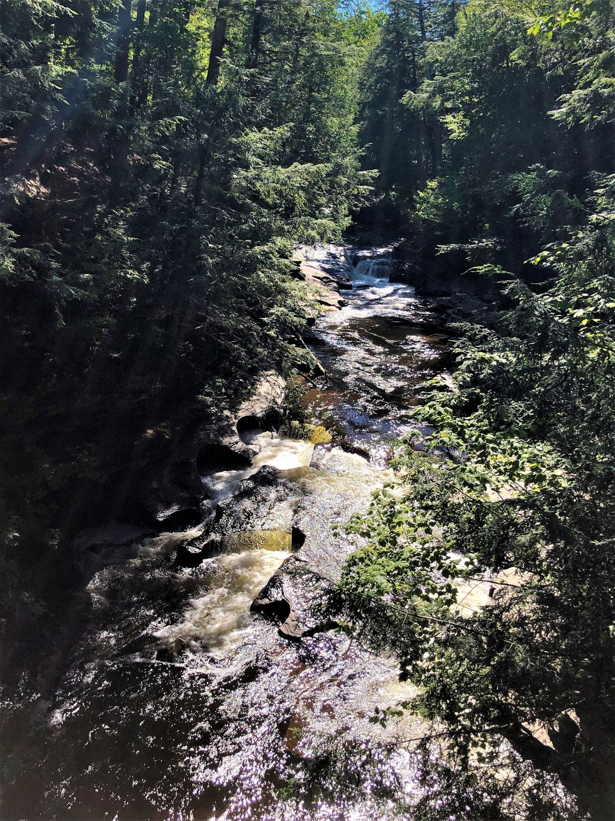
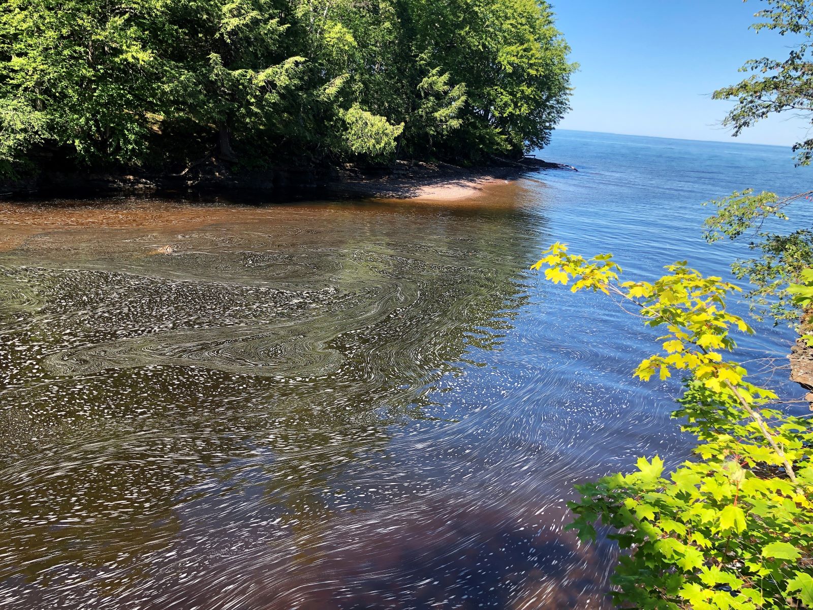
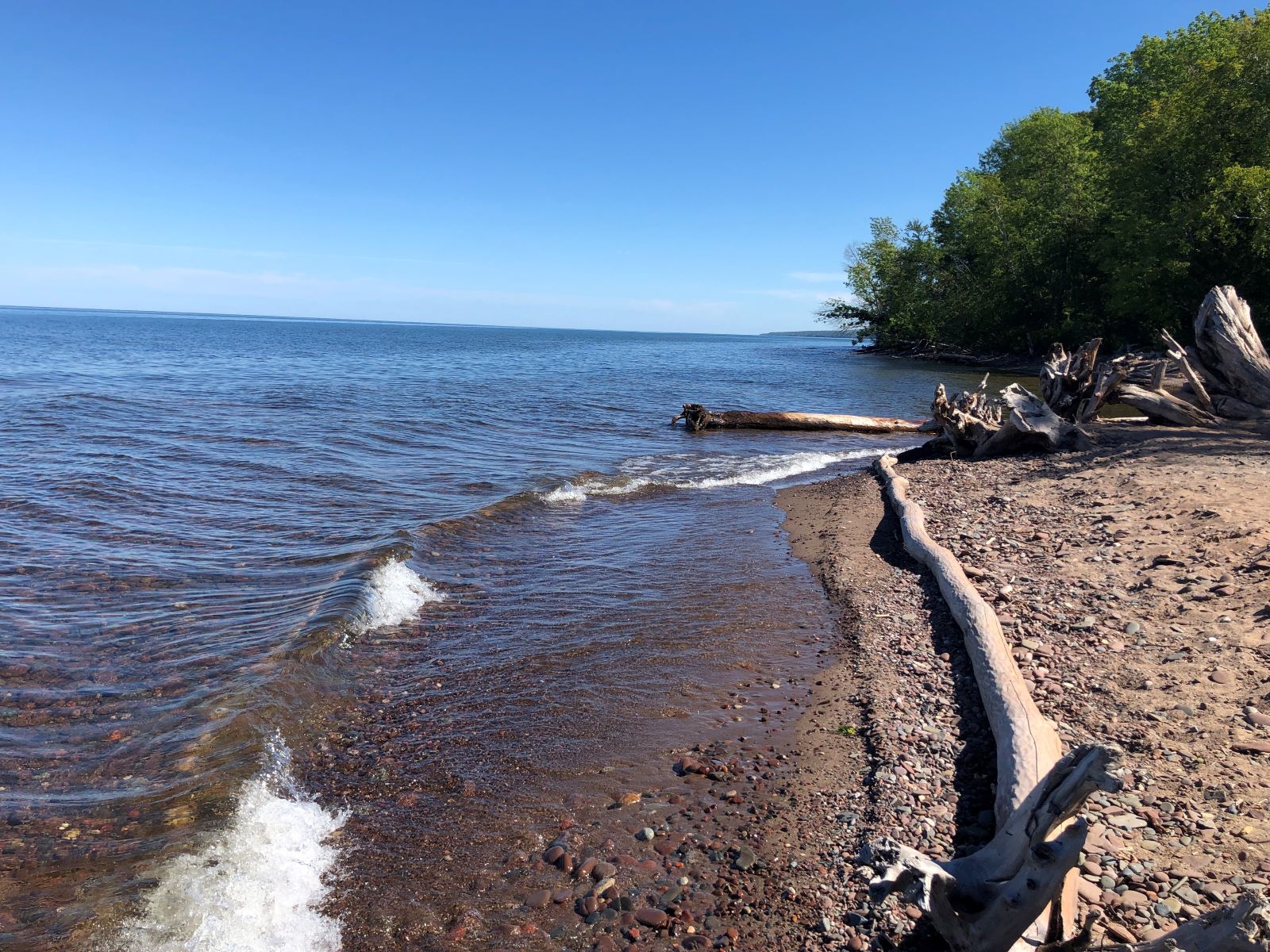
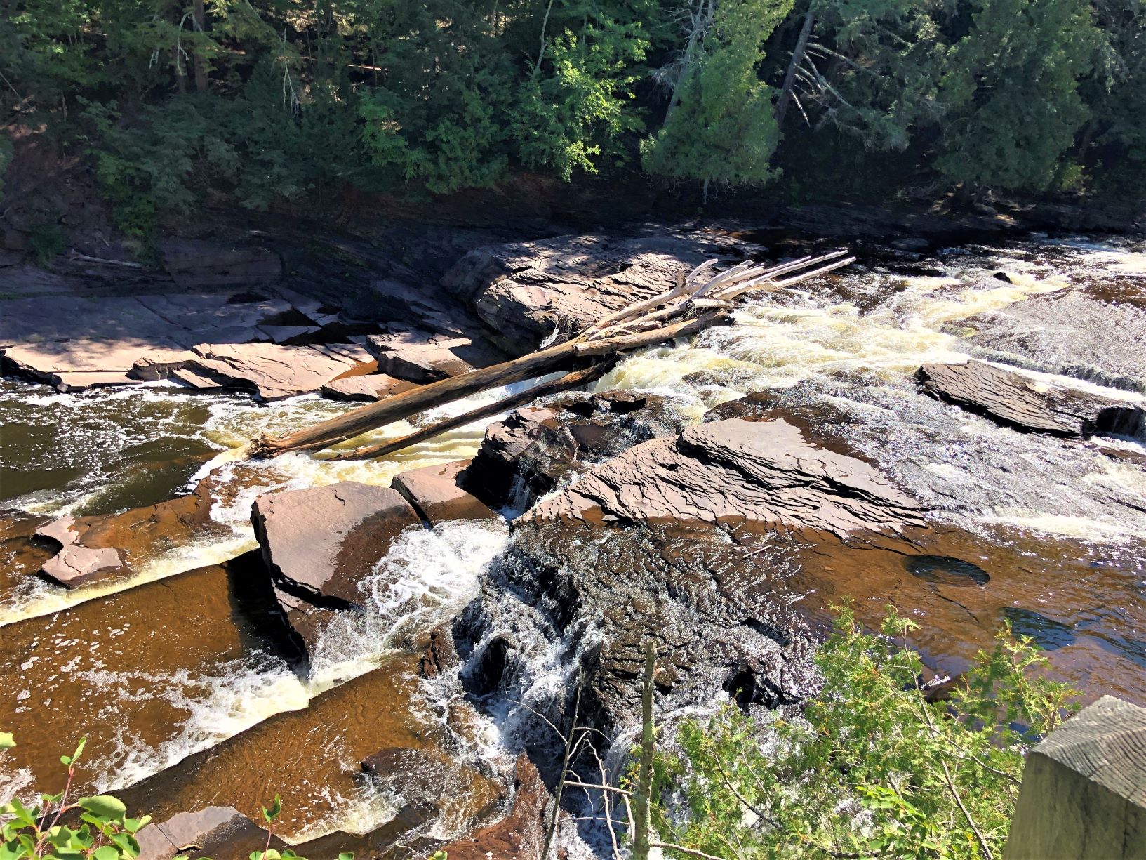
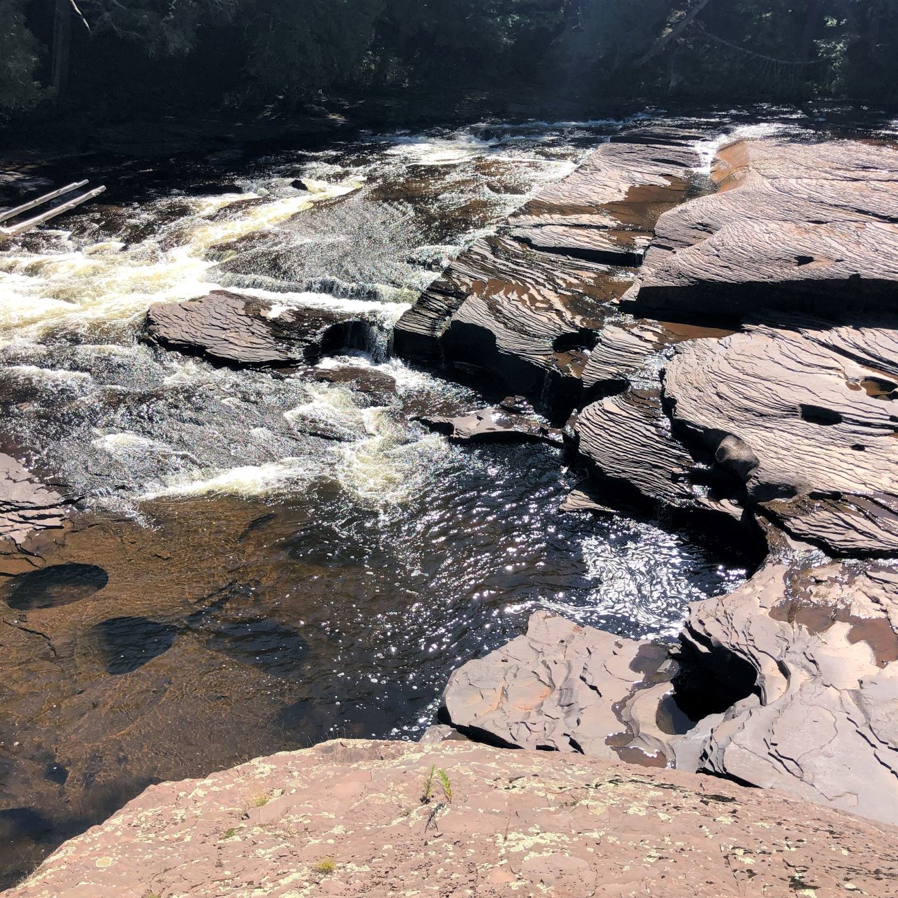
Our first stop was at the Presque Isle River where it flows into Lake Superior.
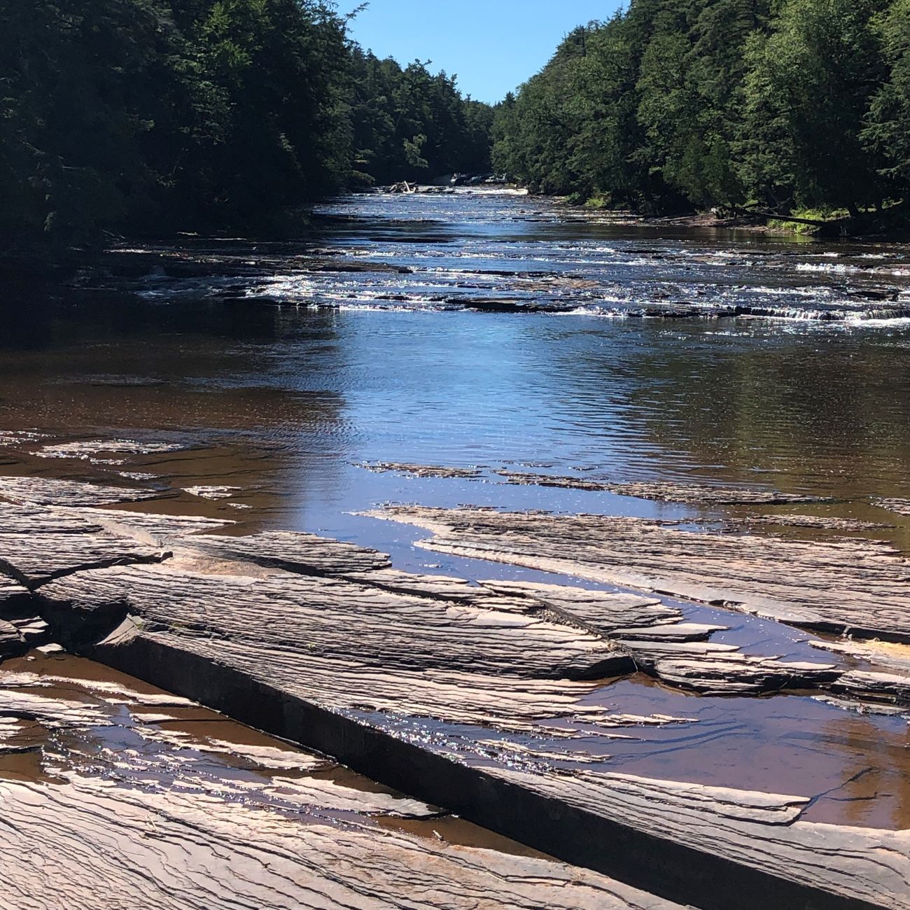
Looking upriver.
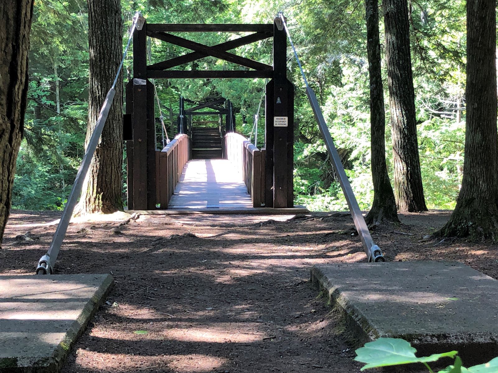
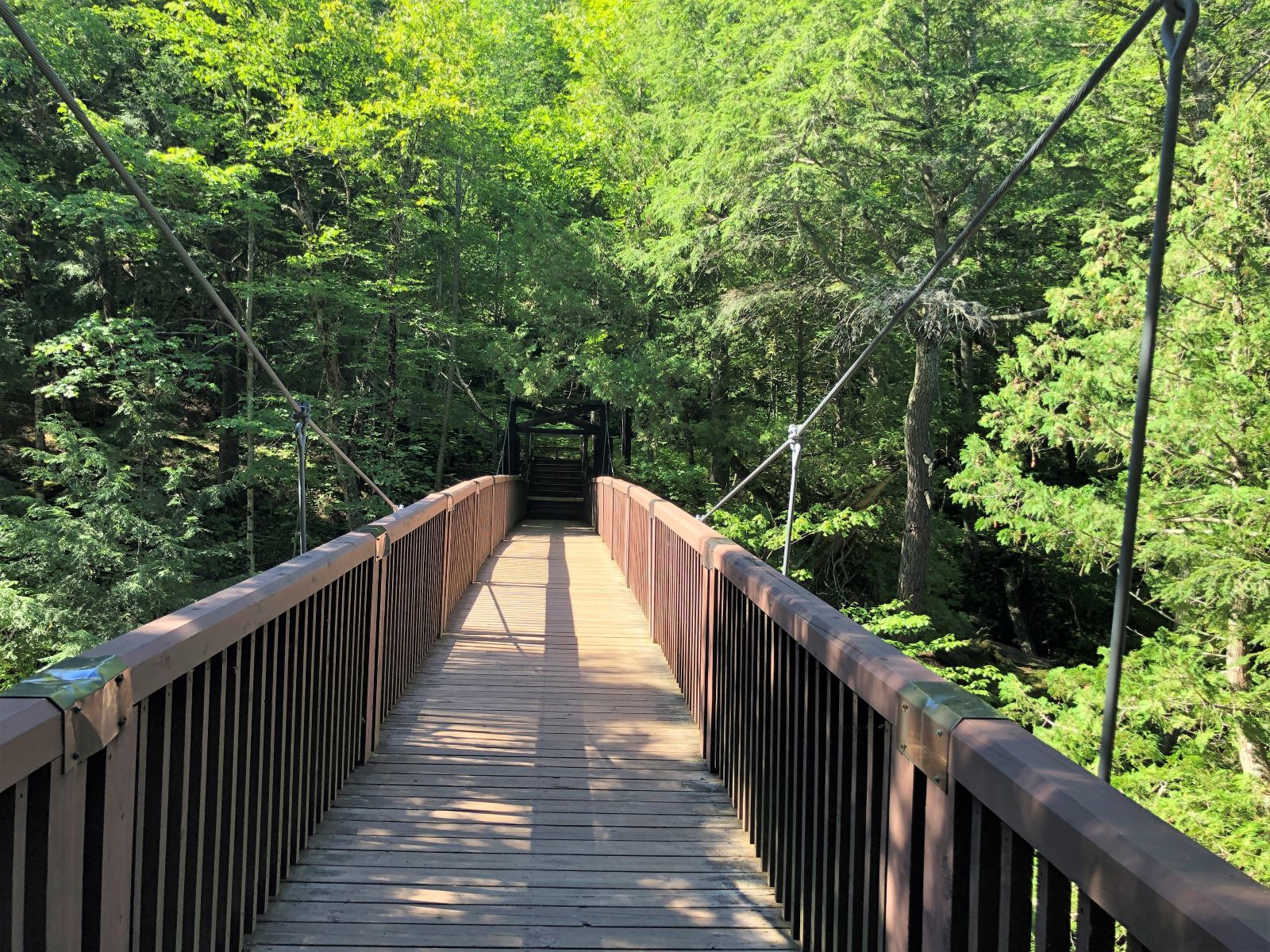
A suspension bridge took us over the river.
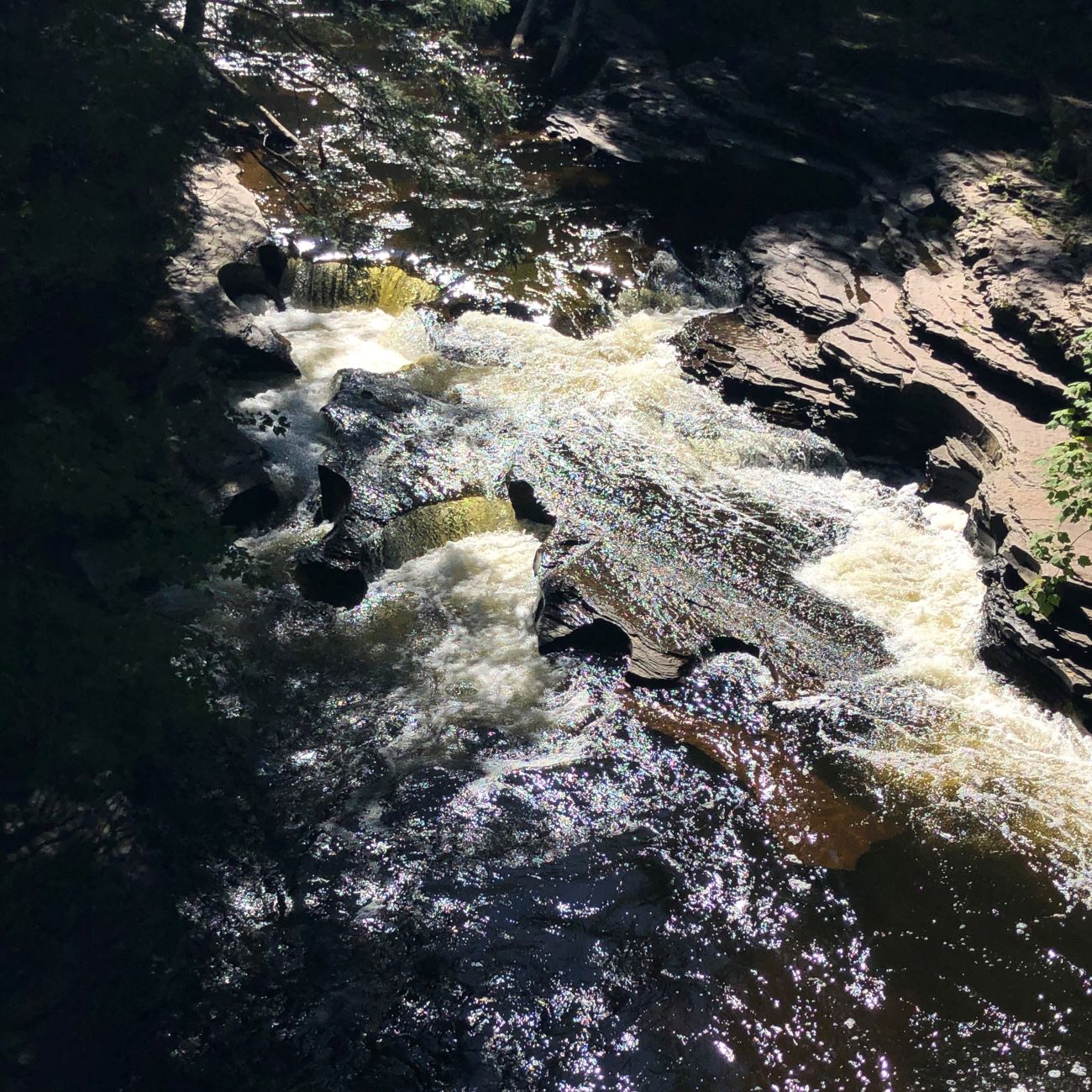
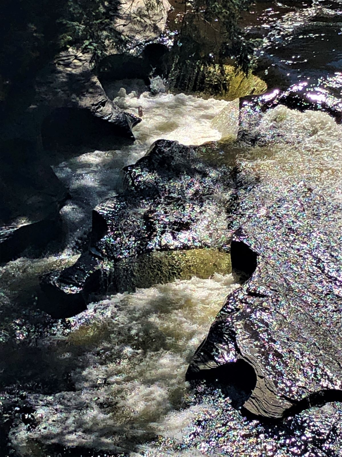
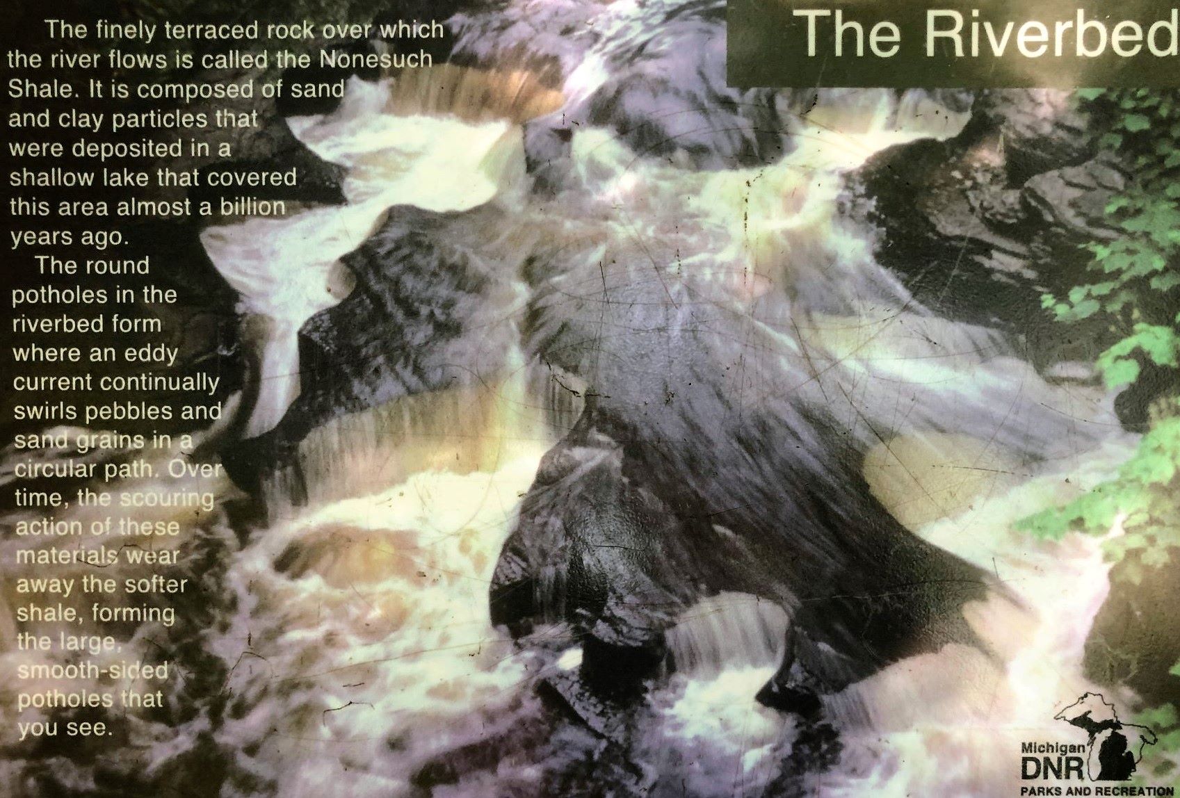
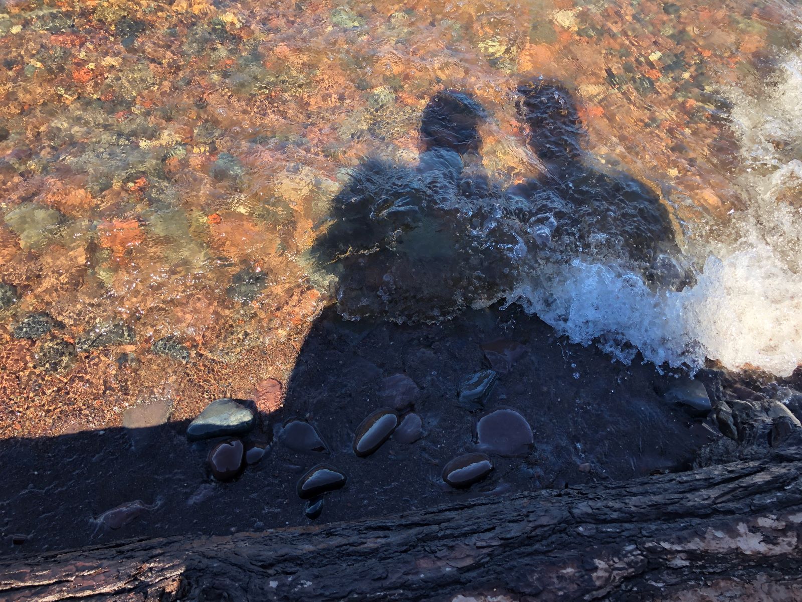
There was an odd pattern in the water as it flowed to the lake.
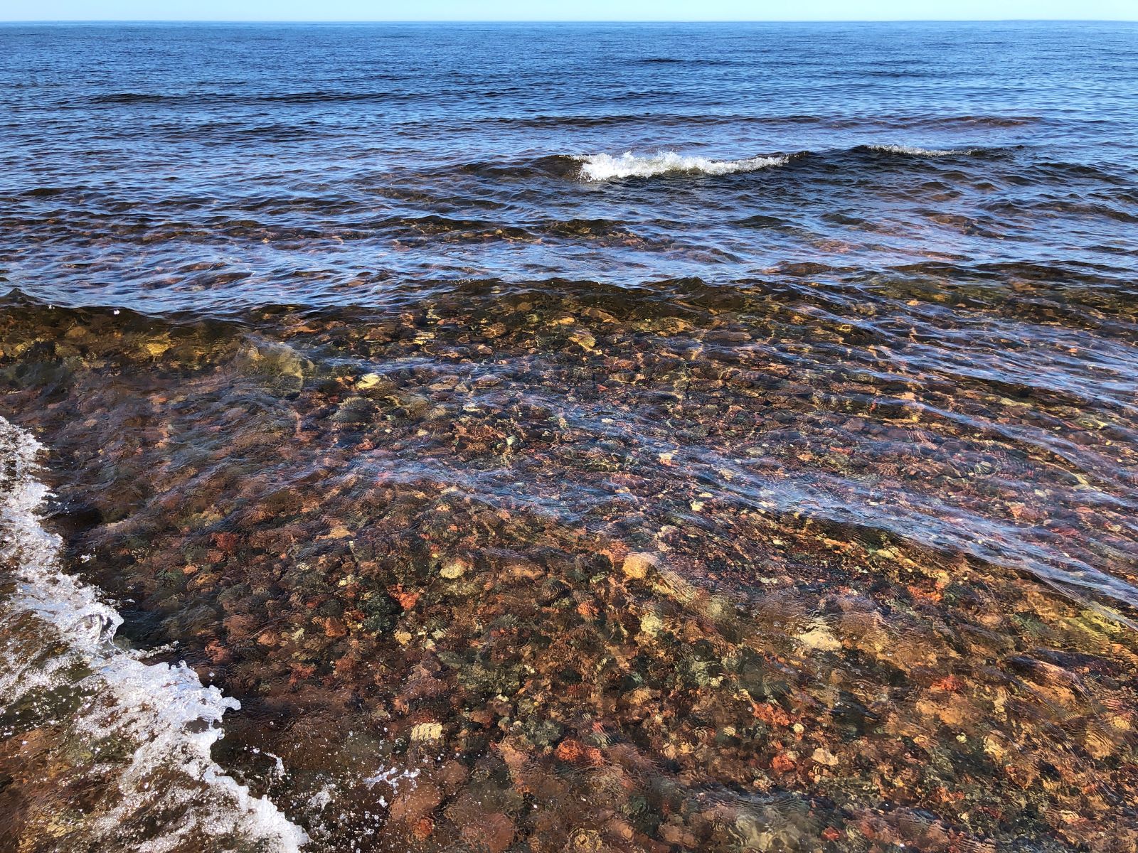
We walked down a trail to get to the shore of Lake Superior.
The trail back to the parking lot was a bit “rooty”.

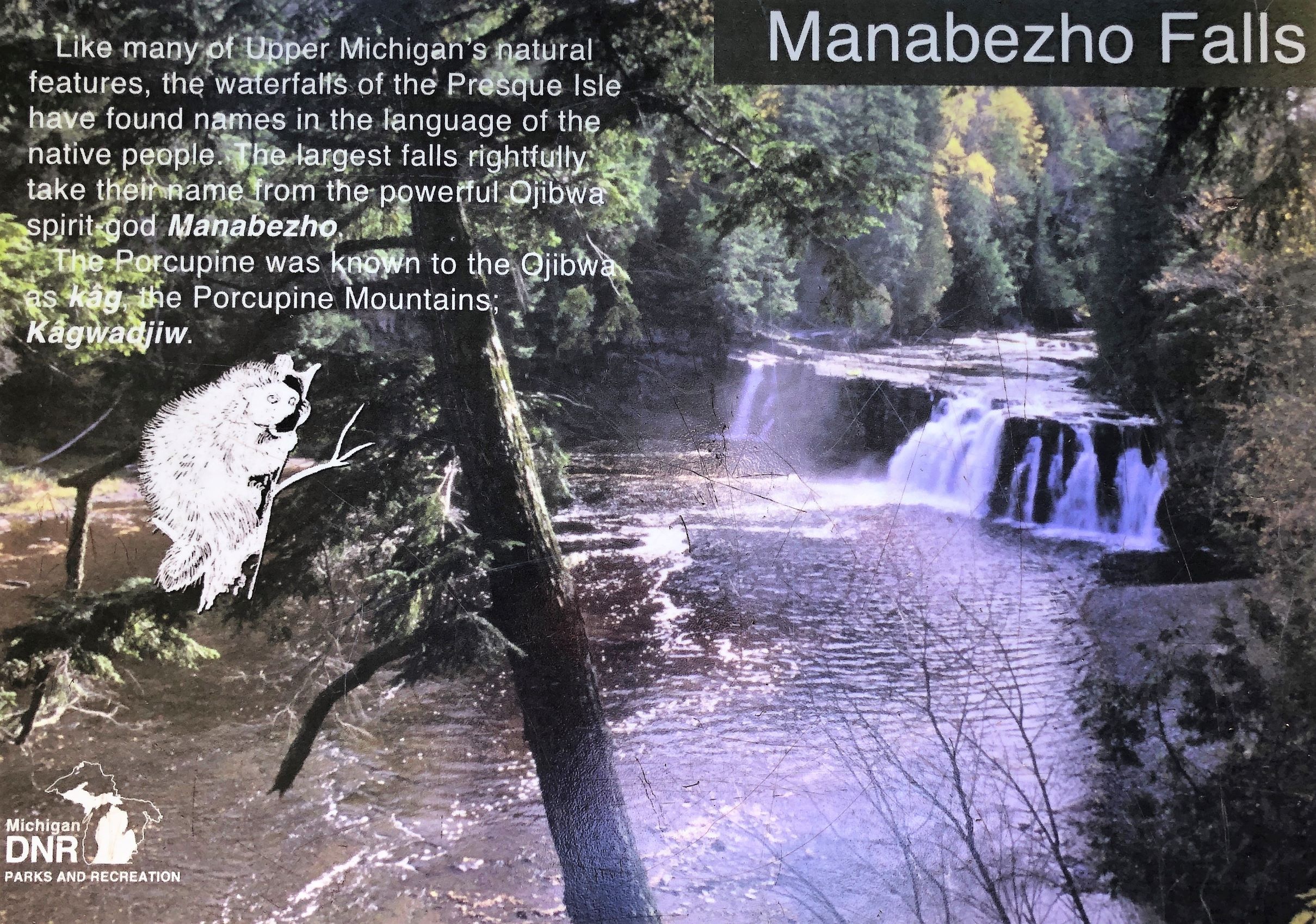
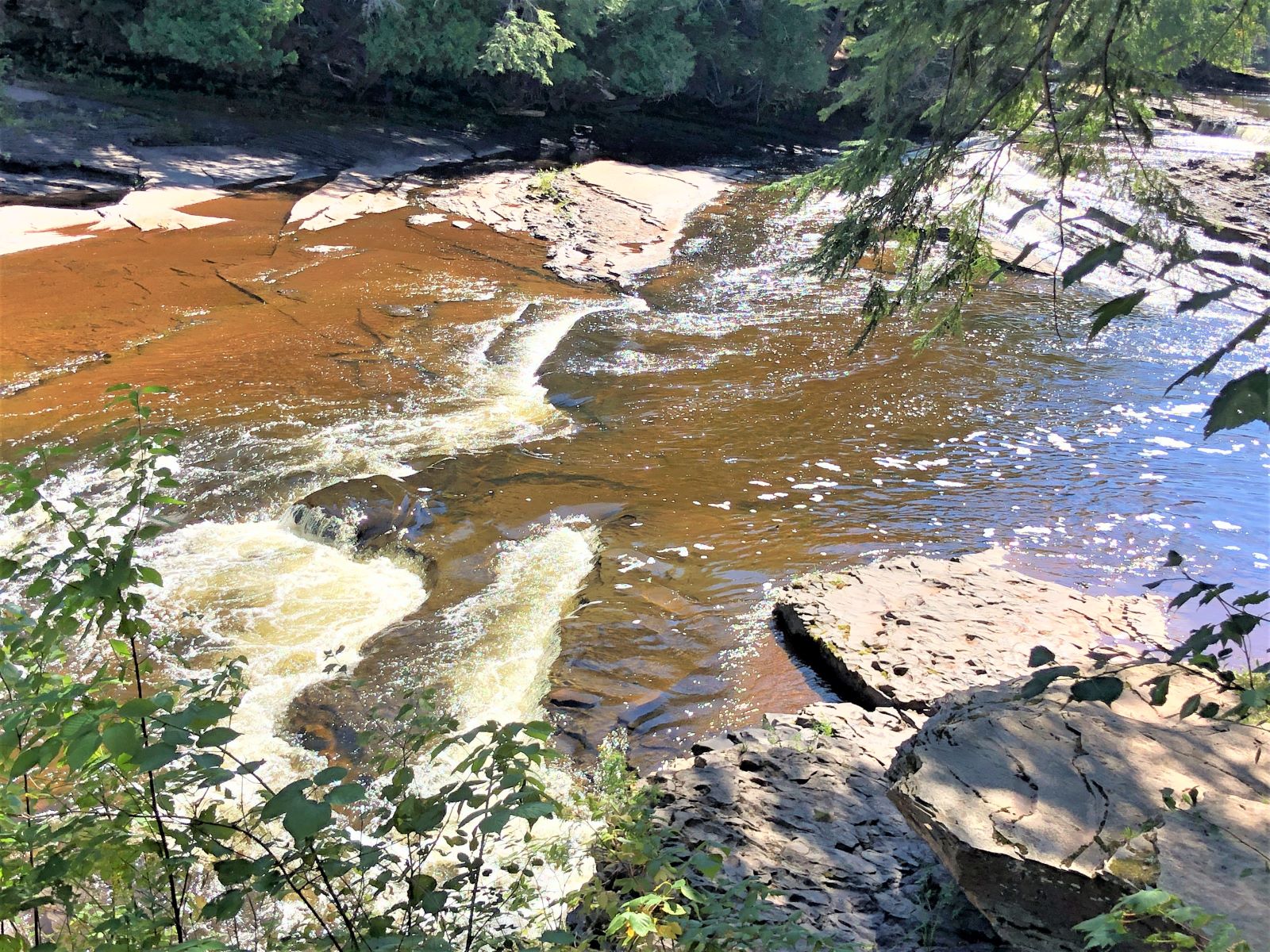
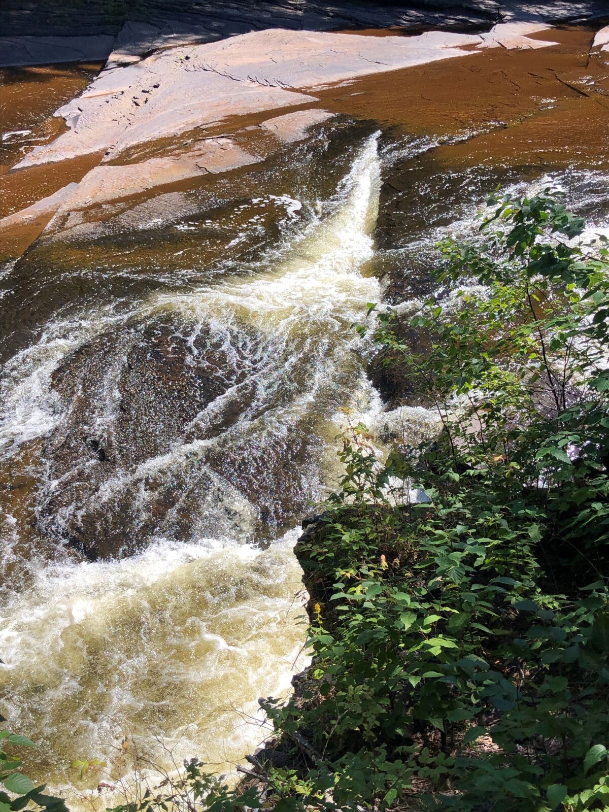
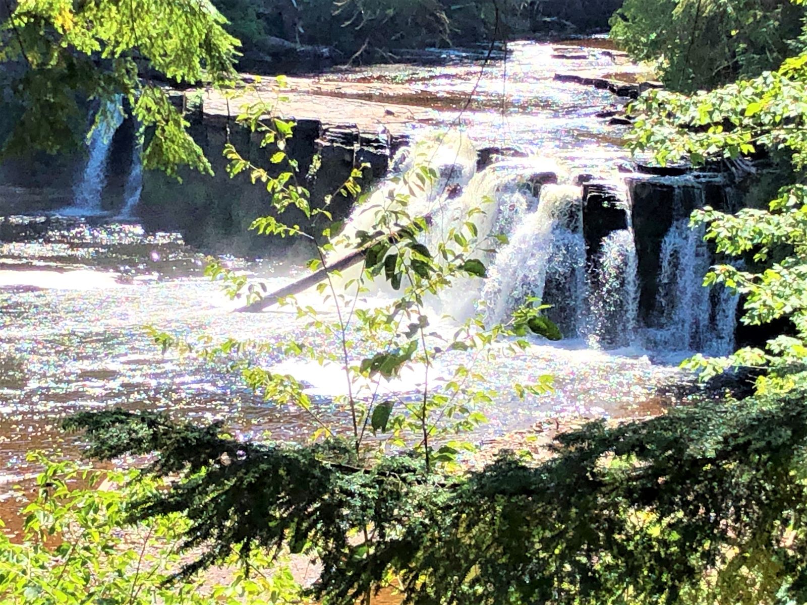
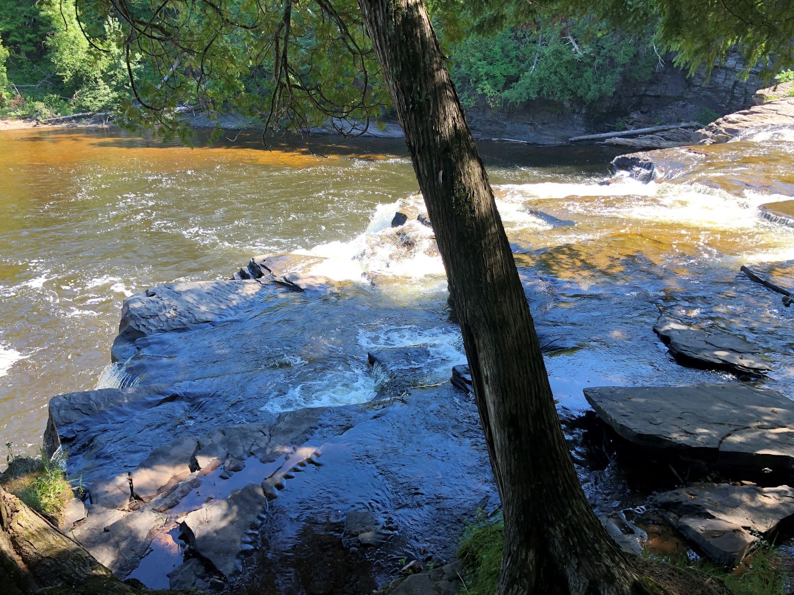
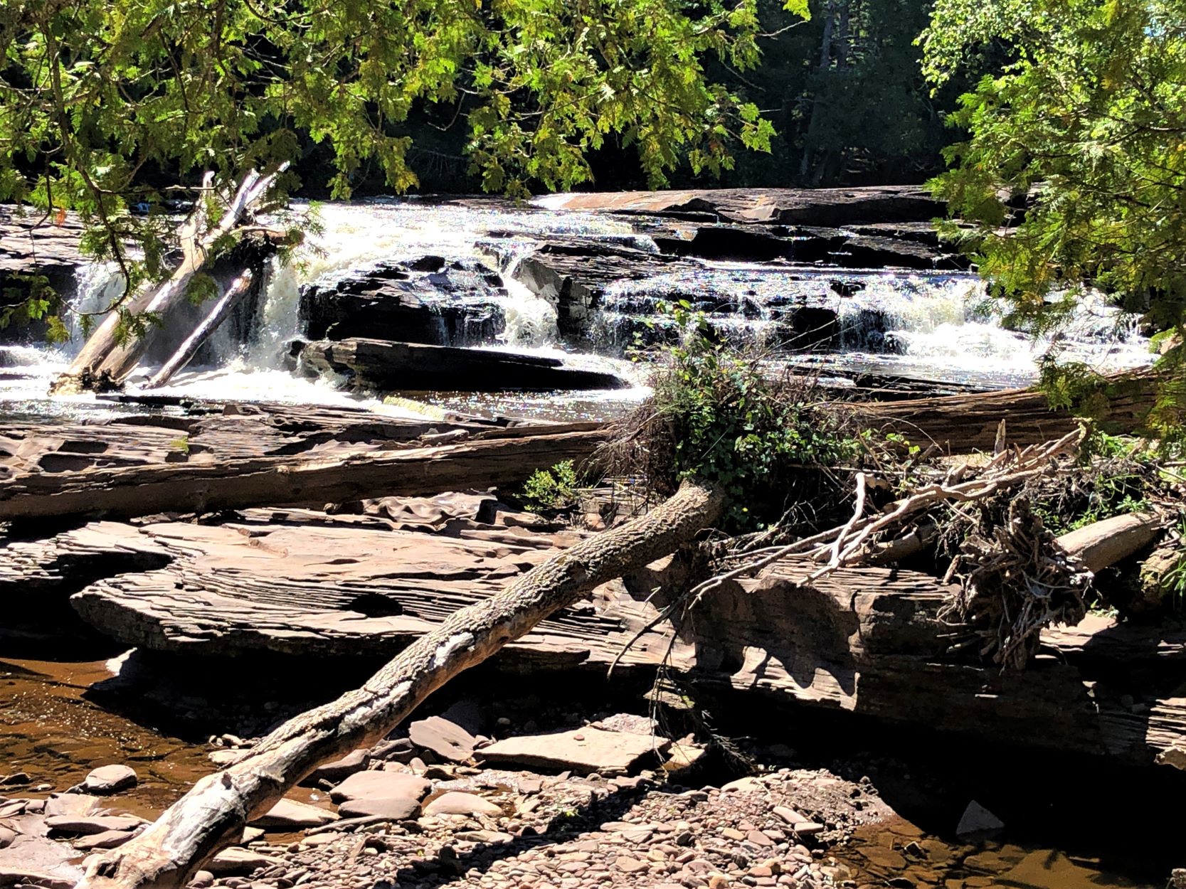
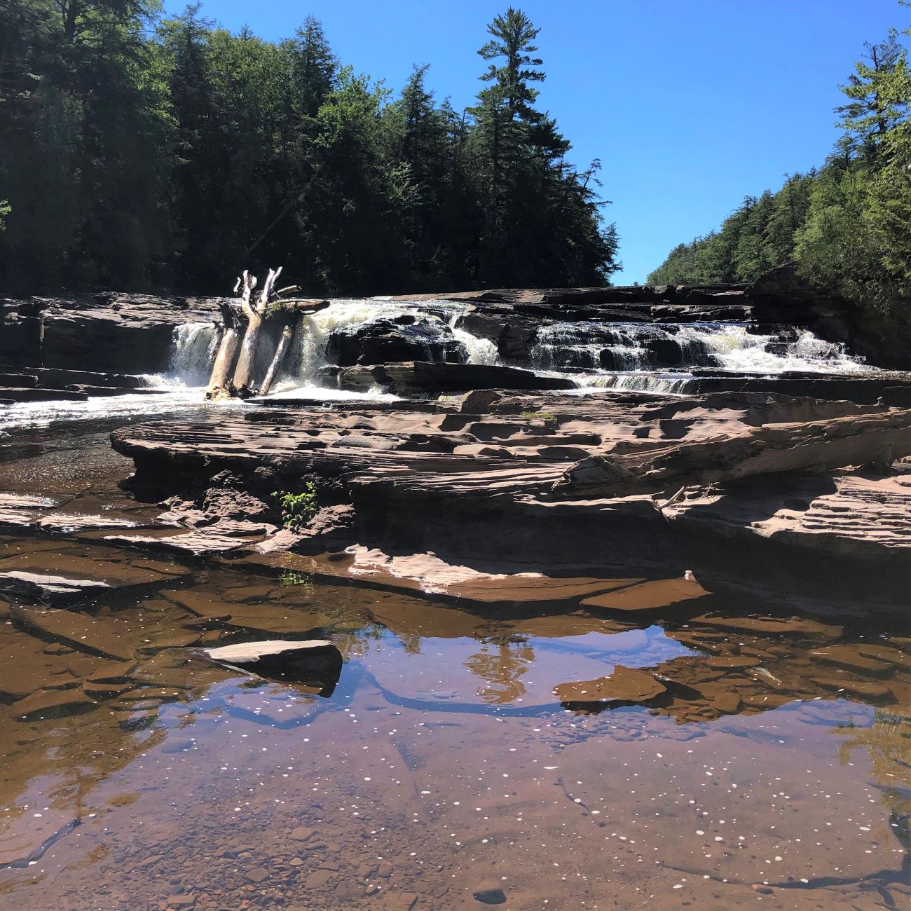
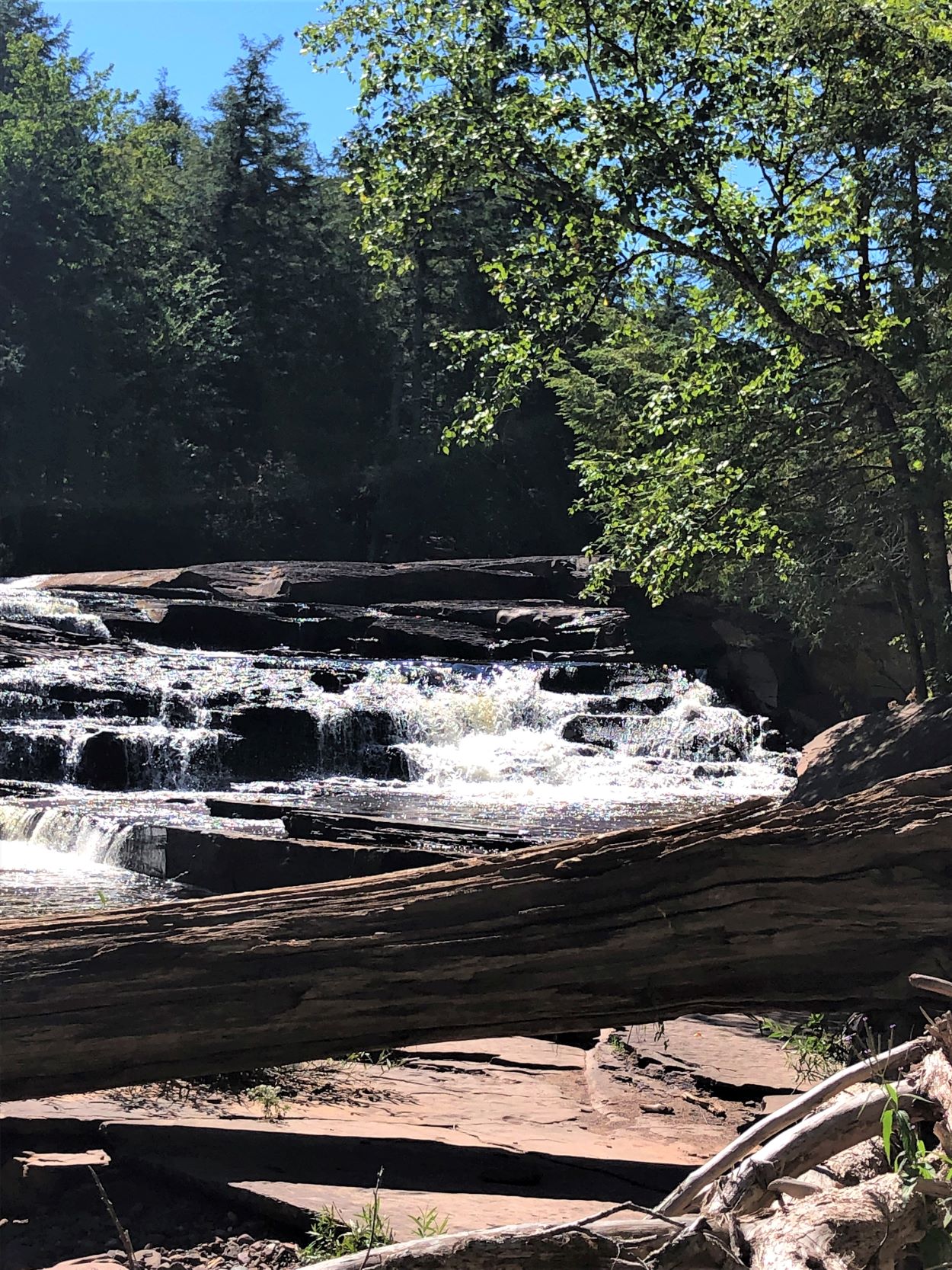
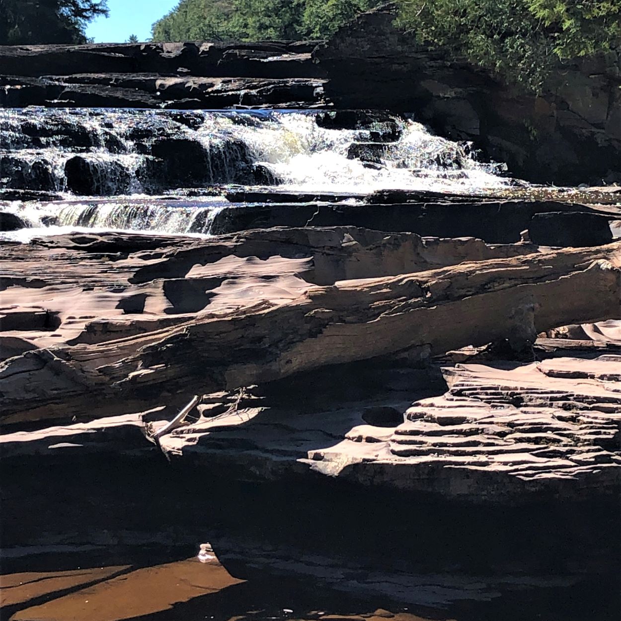
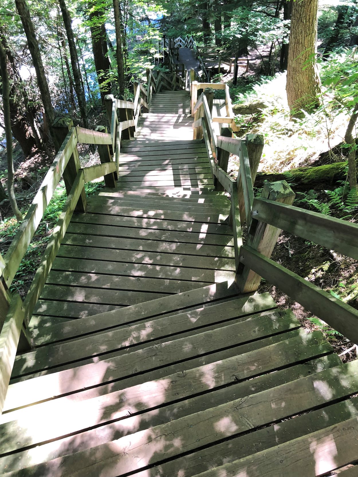
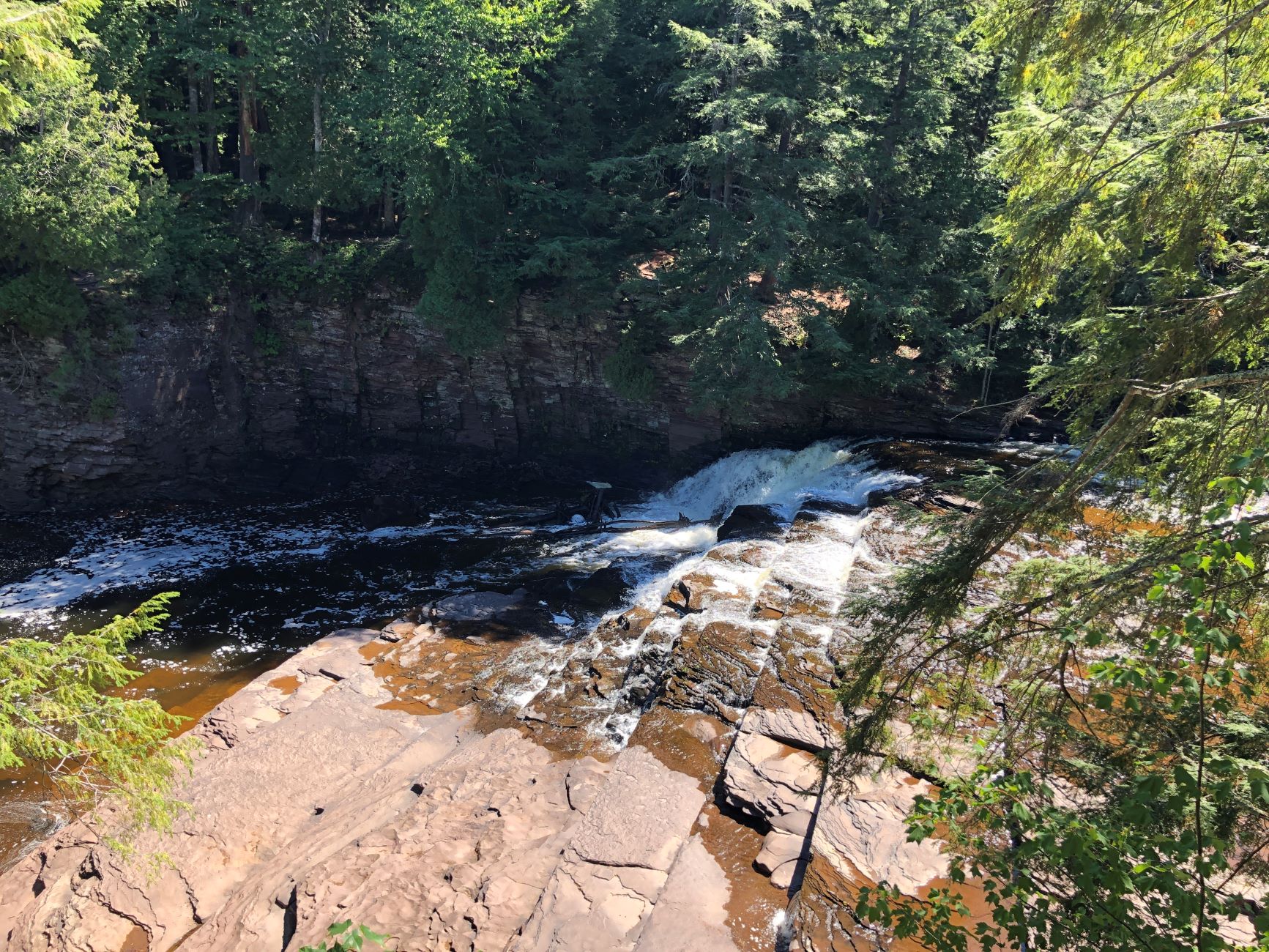
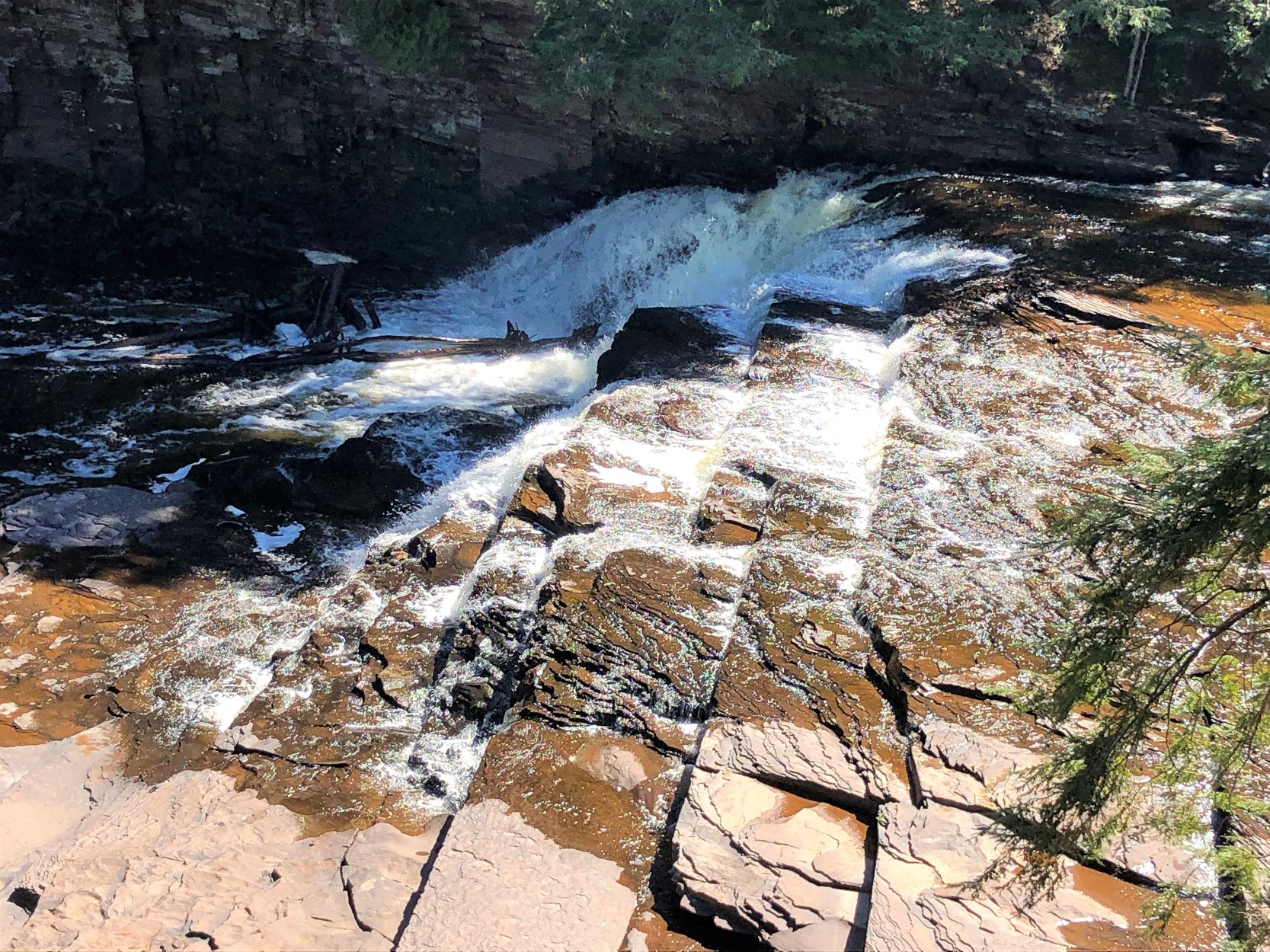
There were 3 waterfalls upriver, so we went to see them. There was a boardwalk and some stairs on the way to the first waterfall, Manabezho Falls.

More signs as we walked the trail, and on the boardwalk, and climbed more stairs…
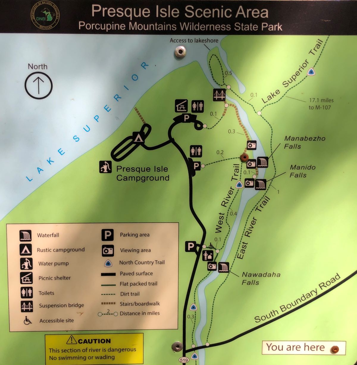
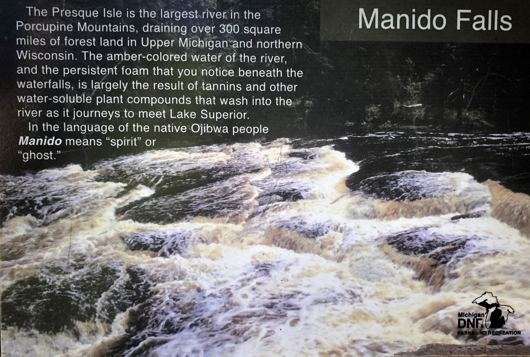
Next up, Manido Falls
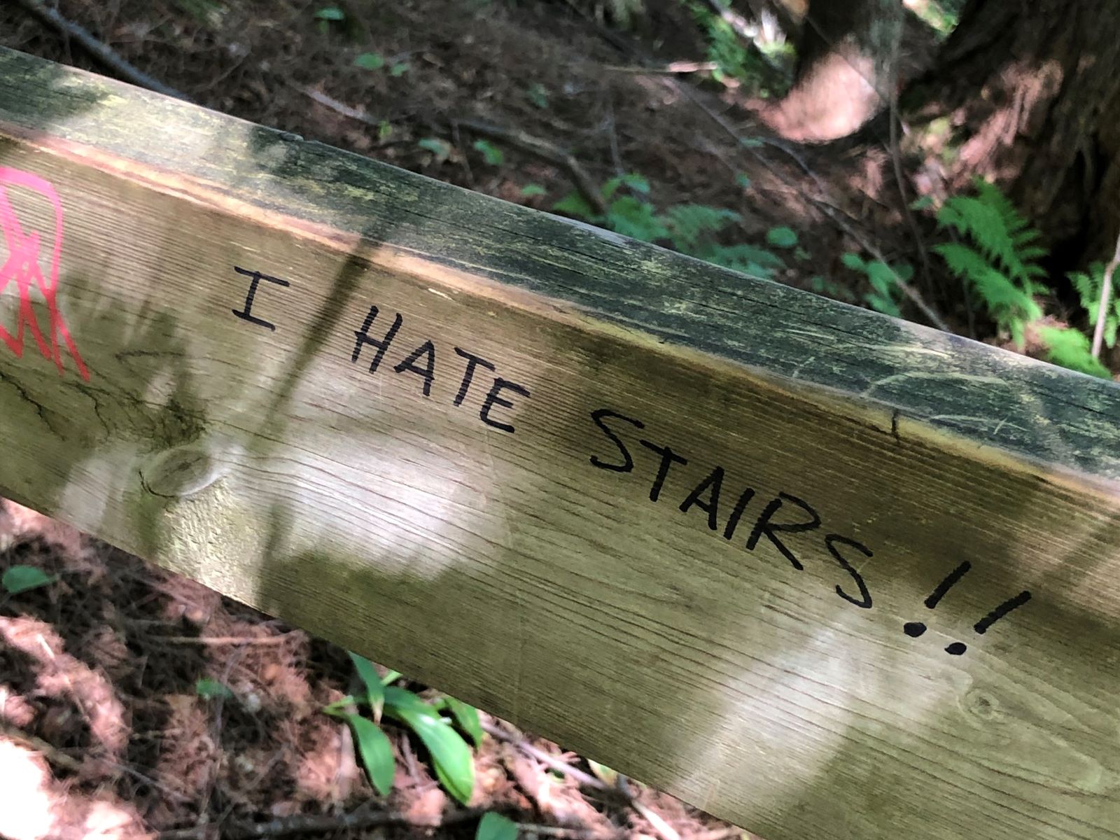
There were a LOT of stairs to climb to see these waterfalls!
The last waterfall – Nawadaha Falls
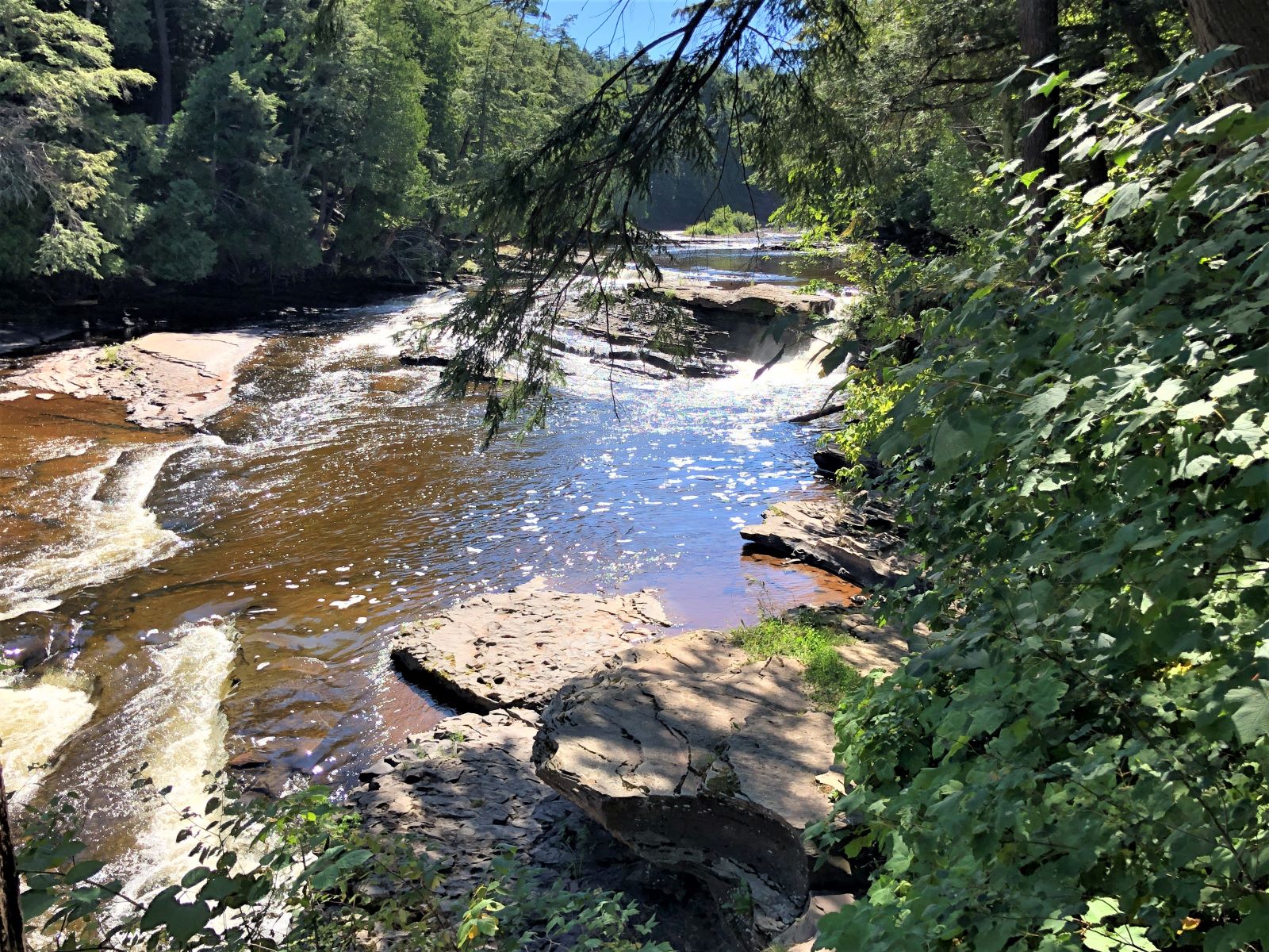
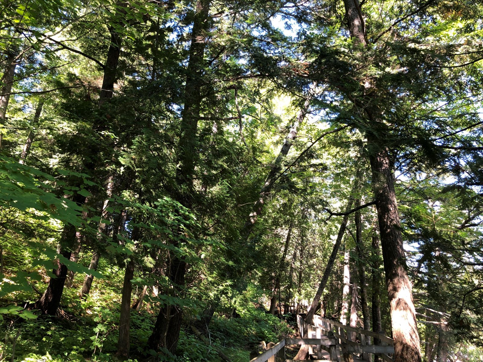
We enjoyed our time walking up along the Presque Isle River.

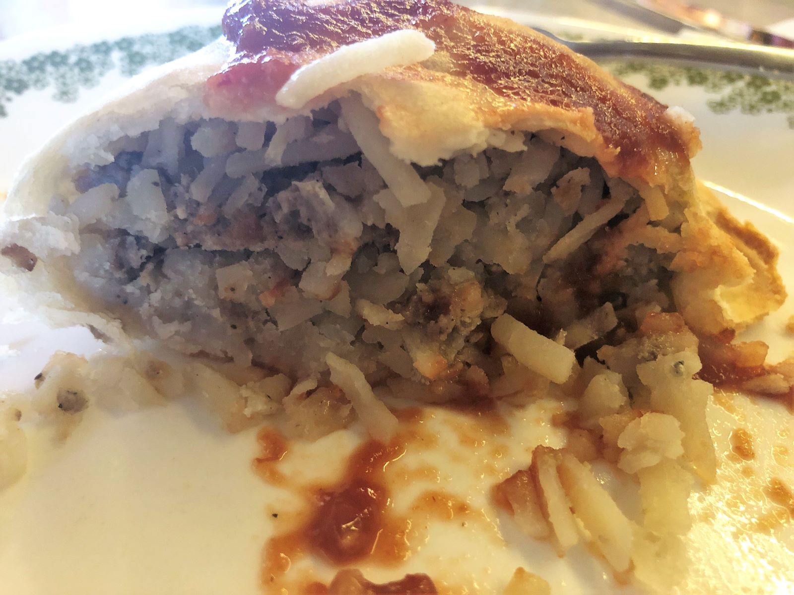
On our way back to Saxon, WI, we stopped by the Bread of Life Bakery in Bessemer, Mi and picked up some pasties (“pahs- tees”) – 2 for dinner tonight and 2 for the freezer. These pasties were shaped the way we make them – when we make them!
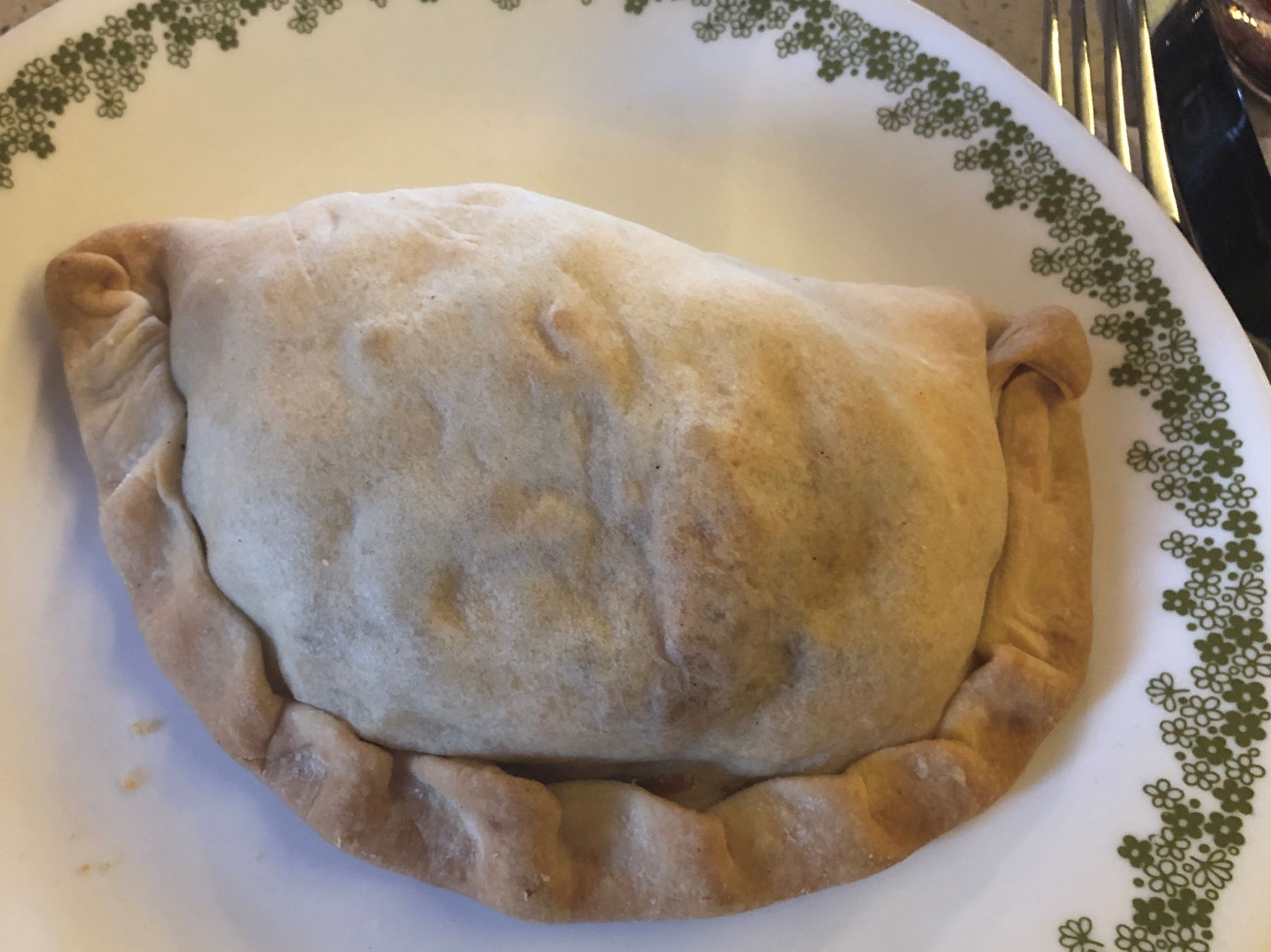
We like a bit of chili sauce on them. The filling was heavy on potatoes, some onion and a bit of ground beef, but no rutabaga. They were tasty nonetheless!
Linda finished the Manitoba blog and posted it after later in the evening. Tomorrow, we head to Marquette for a week!
![]()
Nothing like a day in the UP chasing waterfalls and eating pasties!
It was a fun day – but tiring after climbing all those stairs! Somewhere we heard the UP being called “the poor man’s Alaska” – no glaciers here – but much of the scenery and desolation is similar – but the roads are MUCH better! We do enjoy spending time in the UP!!
You capture so many interesting details. Thank you for blogging.