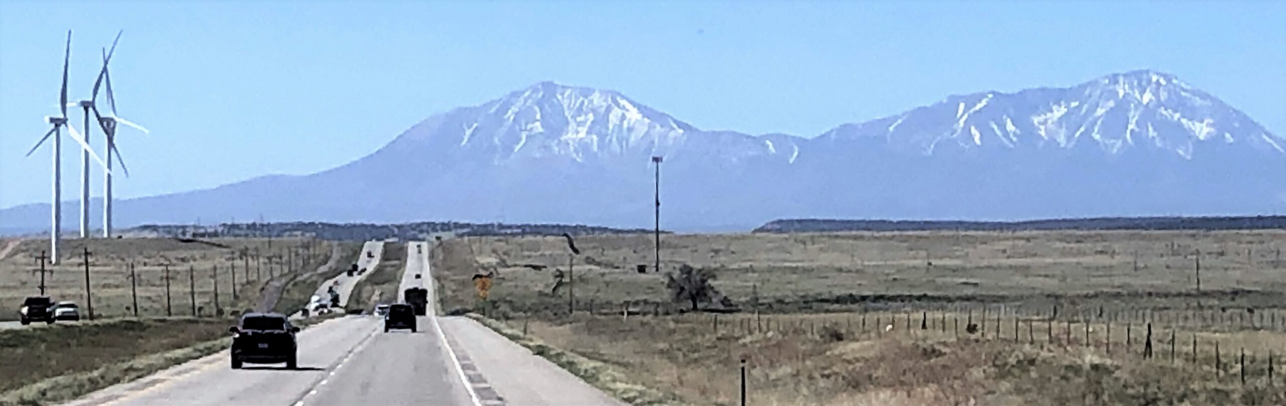
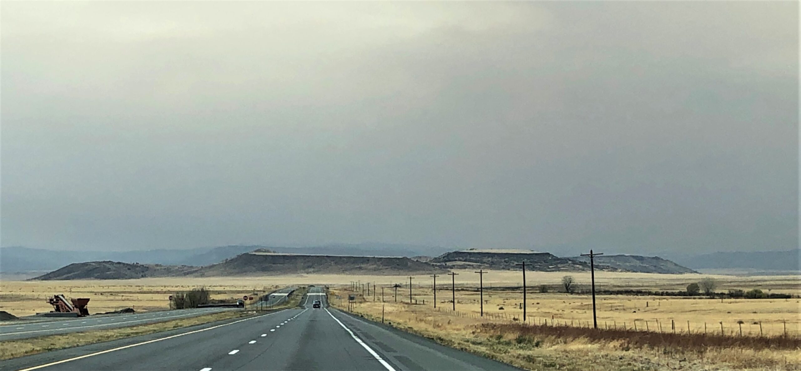
We left Colorado Springs at 9am on Tuesday May 10th with Acey’s mileage at 83,685.8 Thor has 102,503 and we have put 1975.1 miles on our bicycles. The winds were to be picking up after Noon – so we needed to get on the road! It was a scenic drive with a few mountains in the distance as we approached Pueblo, CO.
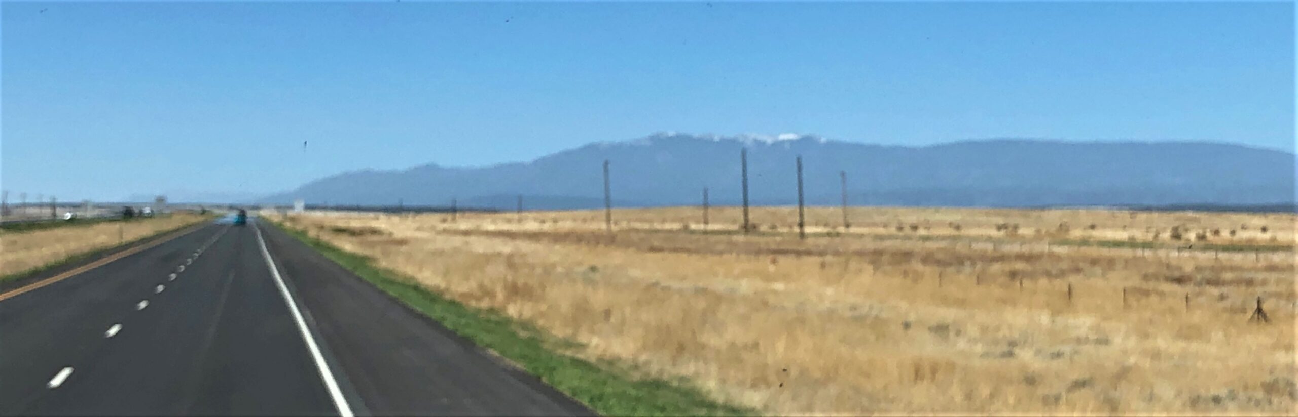
and near Colorado City
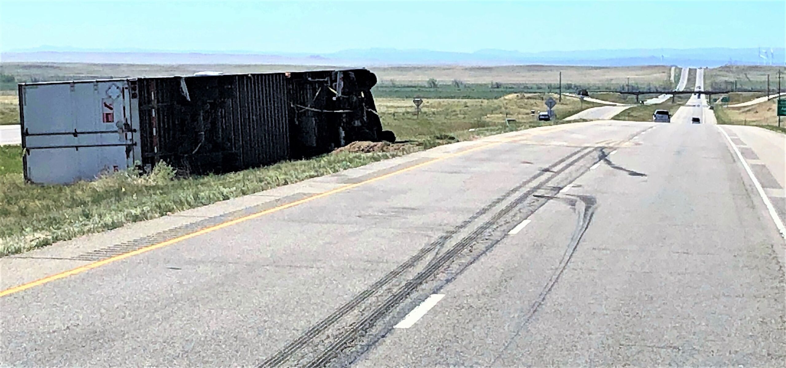
We saw an overturned tractor trailer near Rye – no telling when it got blown over, but there it was in the side of the road. The high winds are not to be toyed with!
Some windmills just down the road were not moving at all.
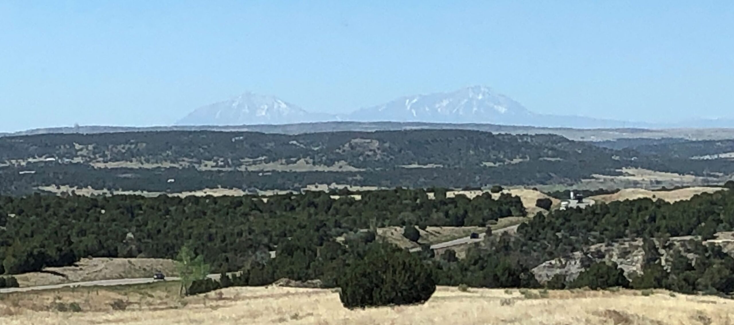
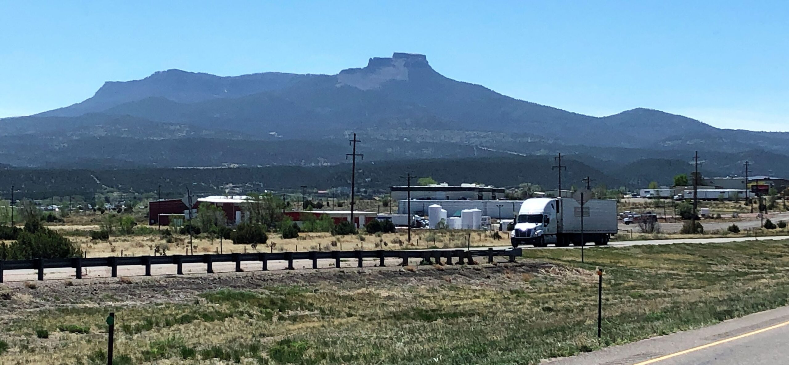
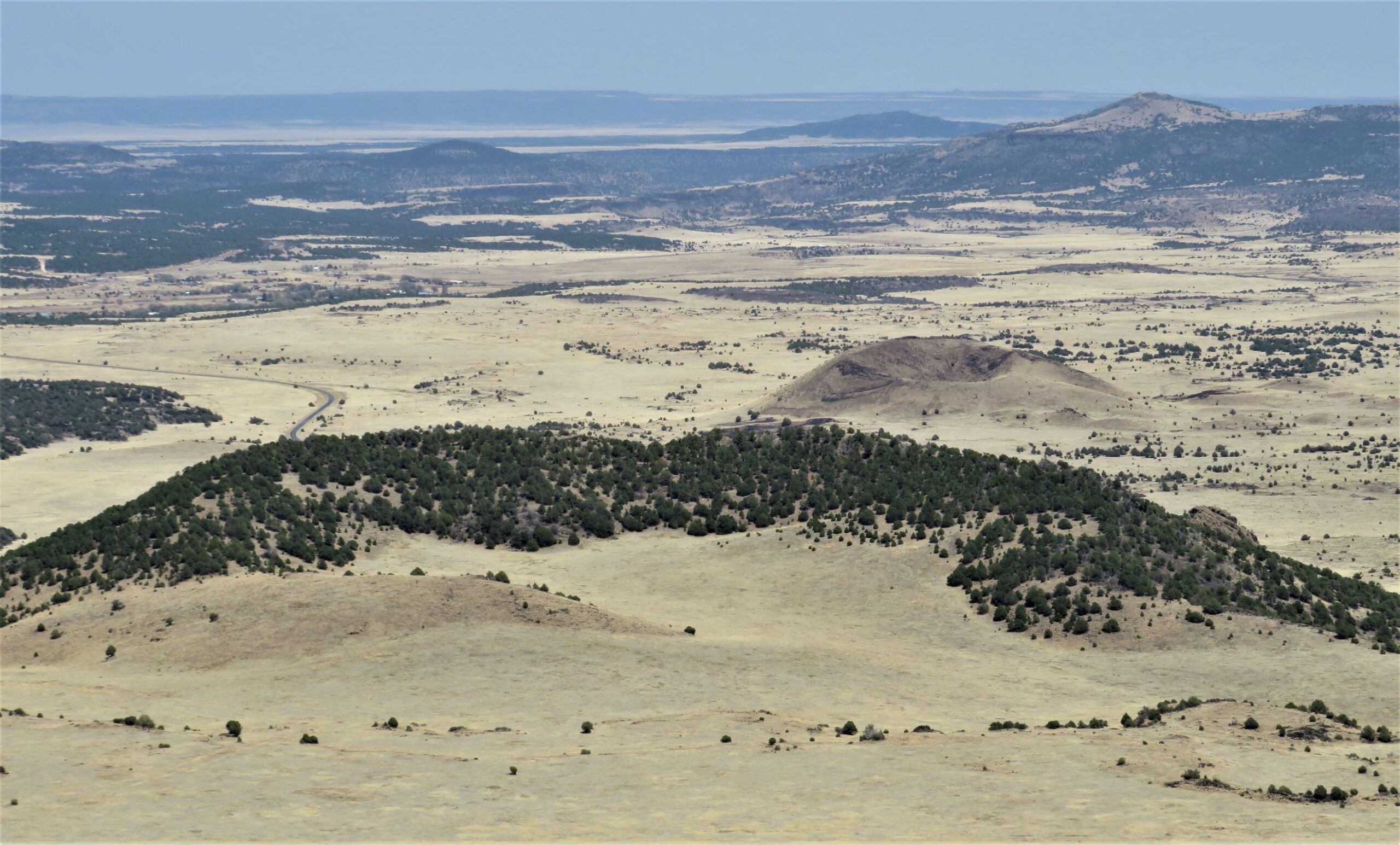
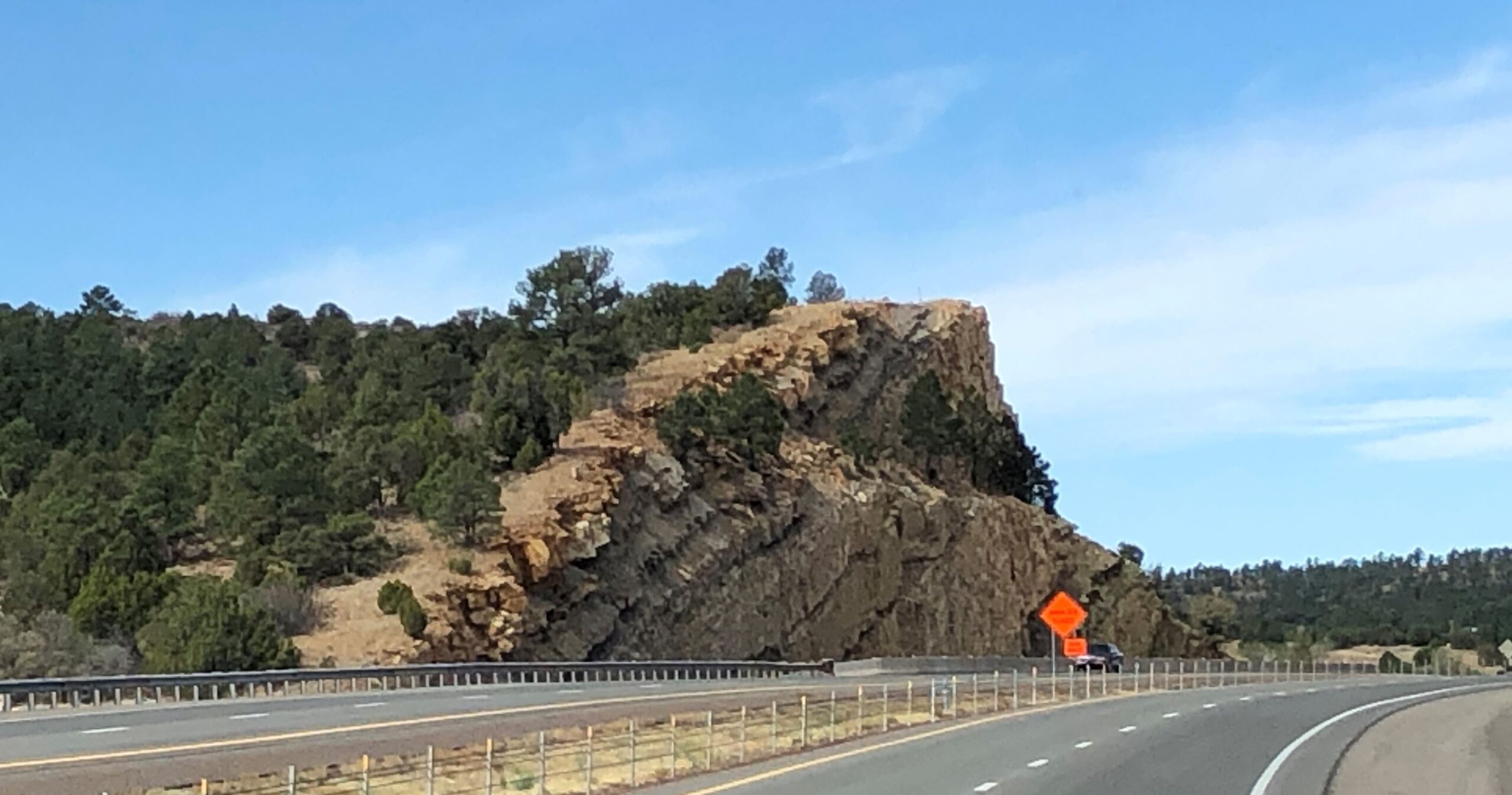
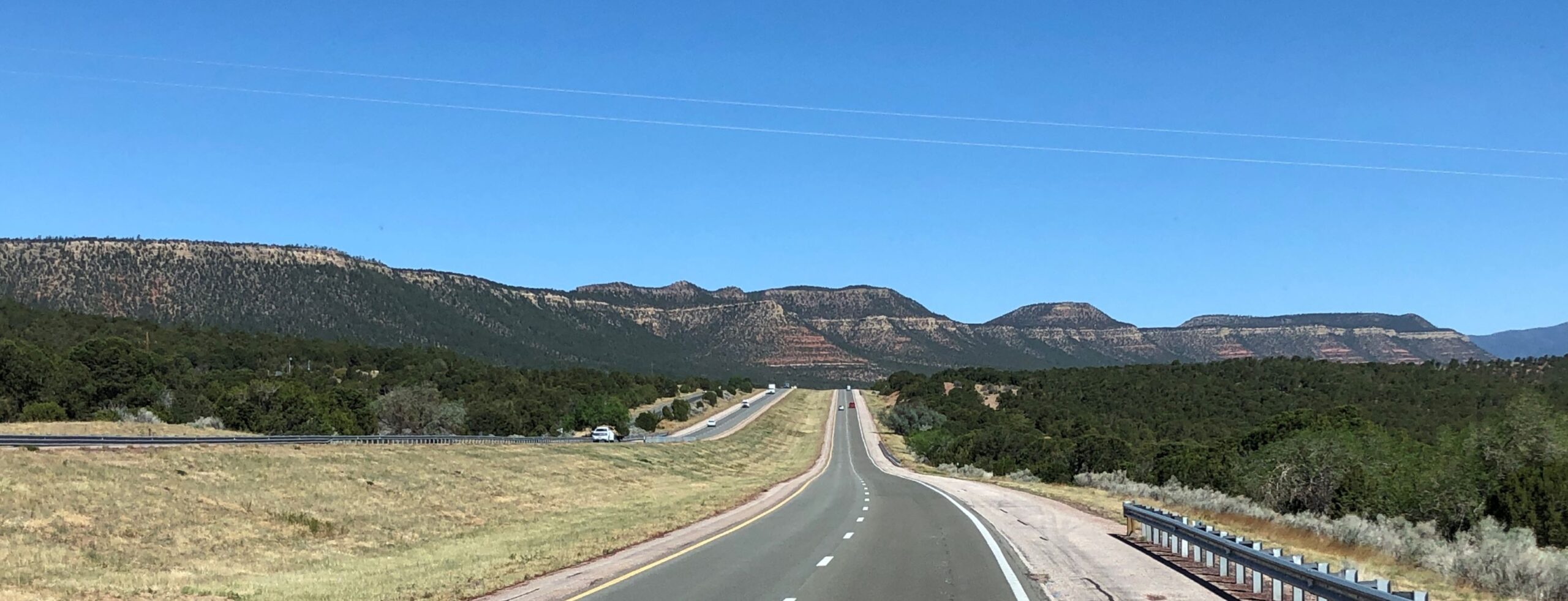
… unusual landscape as we passed Trinidad
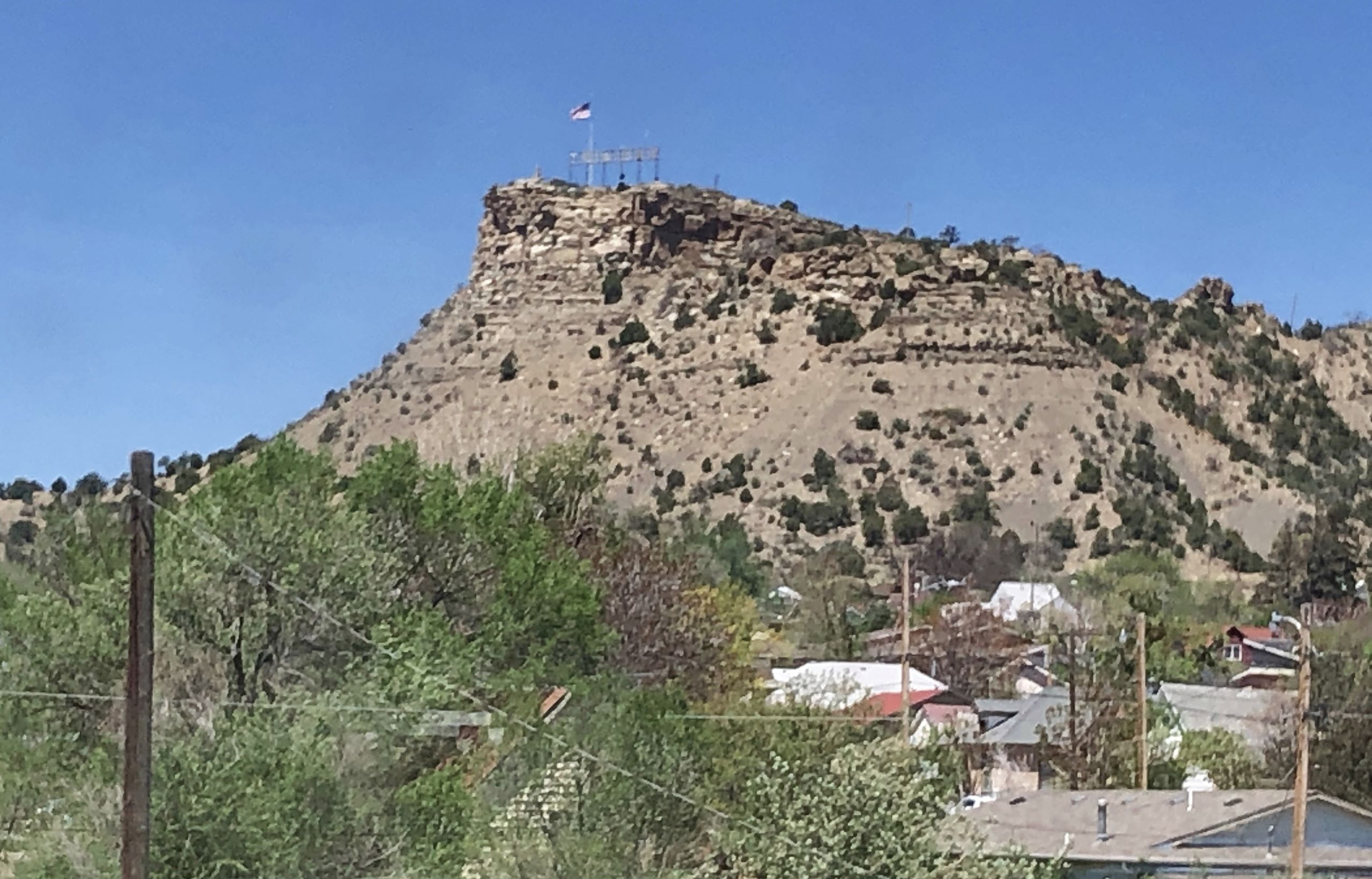
A great spot for some antennas!
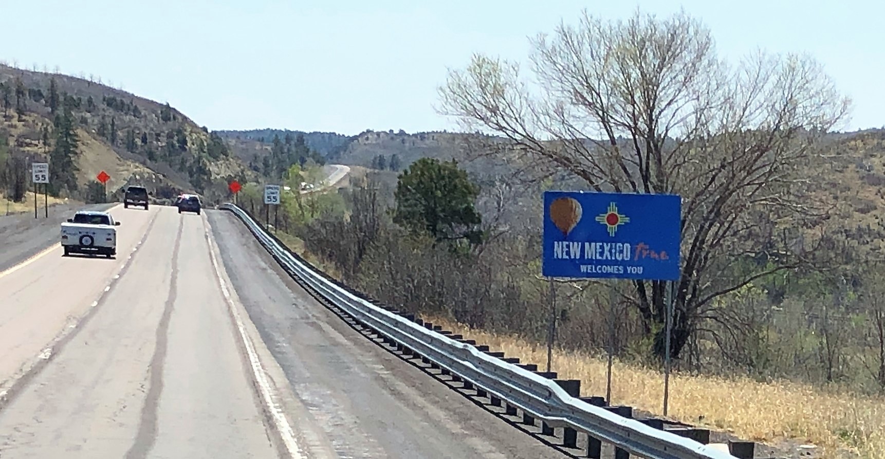
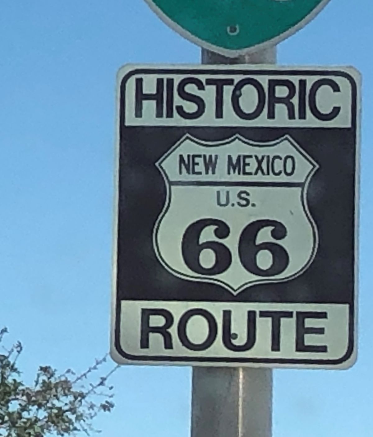
At noon we were welcomed to New Mexico! We drove through the state in November 2020, but due to Covid restrictions in the state, we did not stay overnight; just stopped at a Rest Area and made lunch.
We arrived at Willow Springs RV Park in Raton, NM at 12:15 and got set up. The winds had really picked up and we were glad to have Acey parked! Linda worked on finishing the blog for Colorado Springs and Jim searched the internet for more information about crossing the border into Canada. There seems to be differing information about what you can and cannot bring across the border – limits on alcoholic beverages, fresh and frozen meats, fruits and vegetables… we have a little over a month to get the proper information!
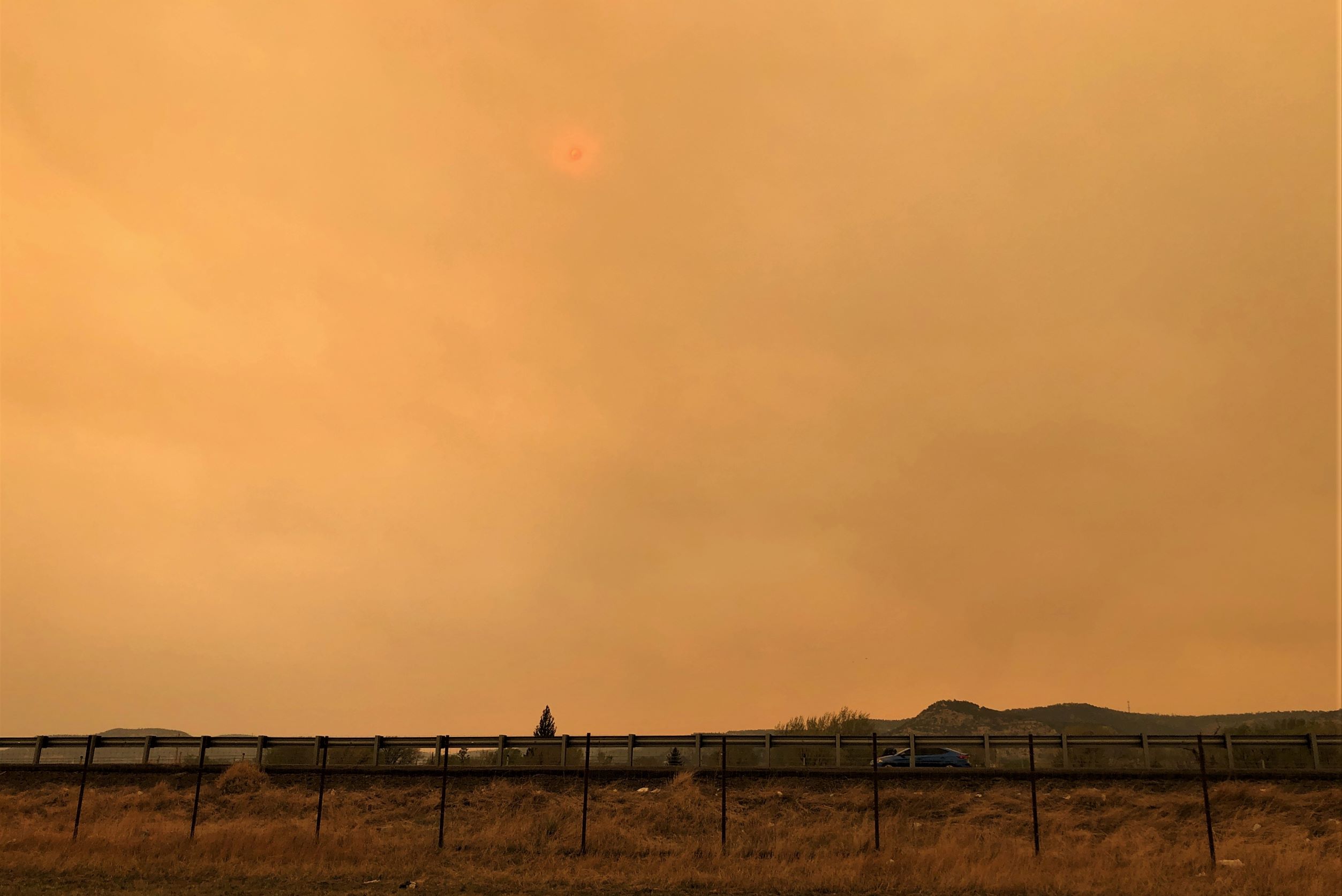
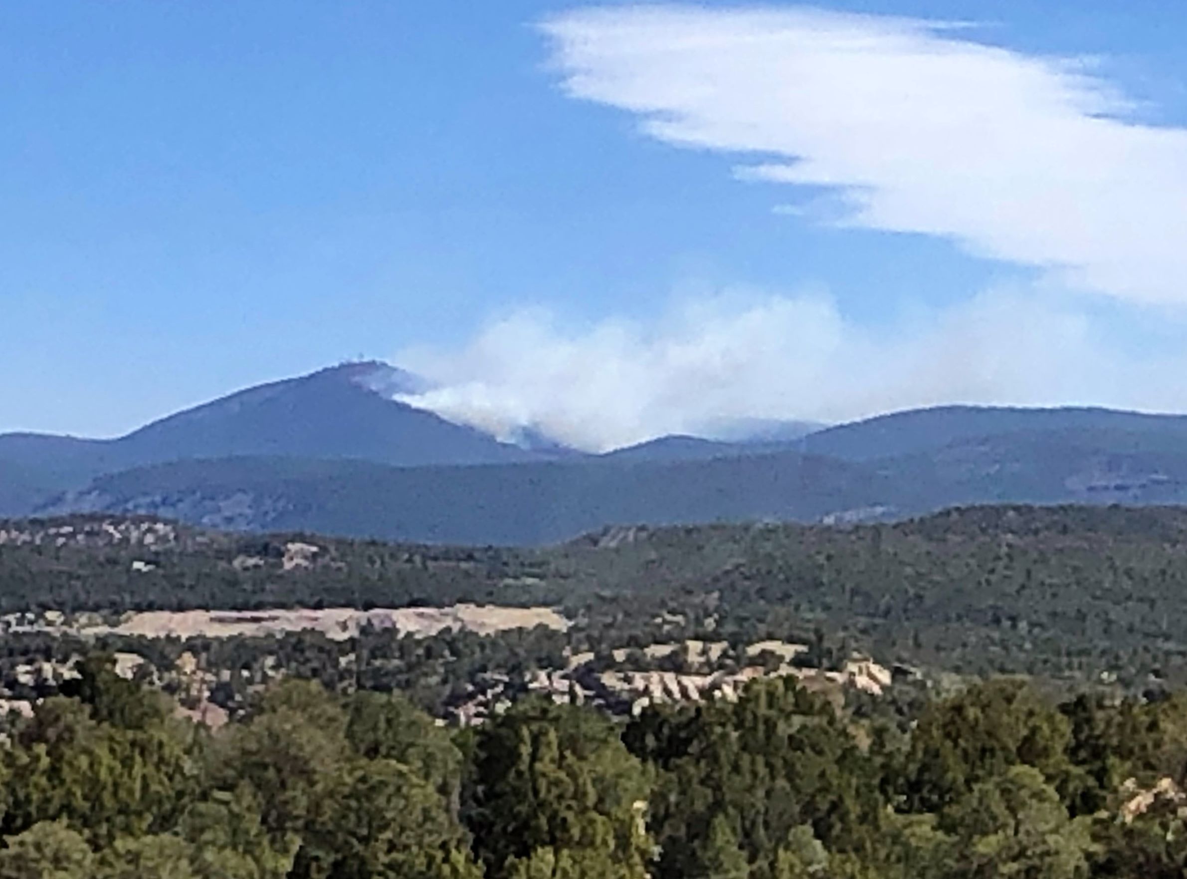
There are fires in the state – over 100 miles from here and the skies became hazy, and you could smell a smoky aroma.
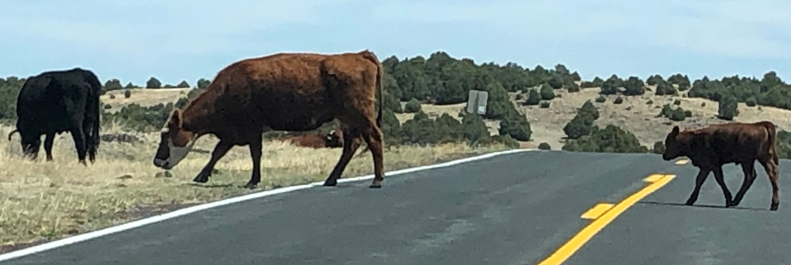
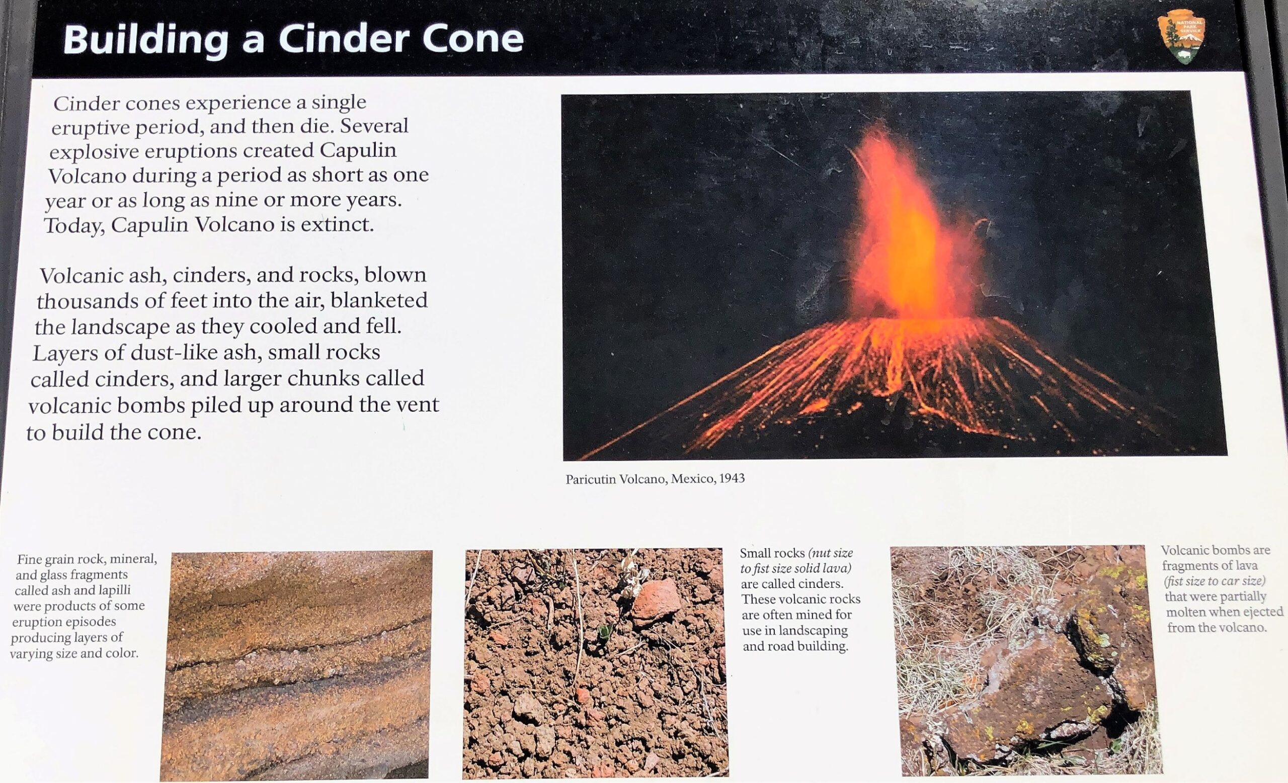
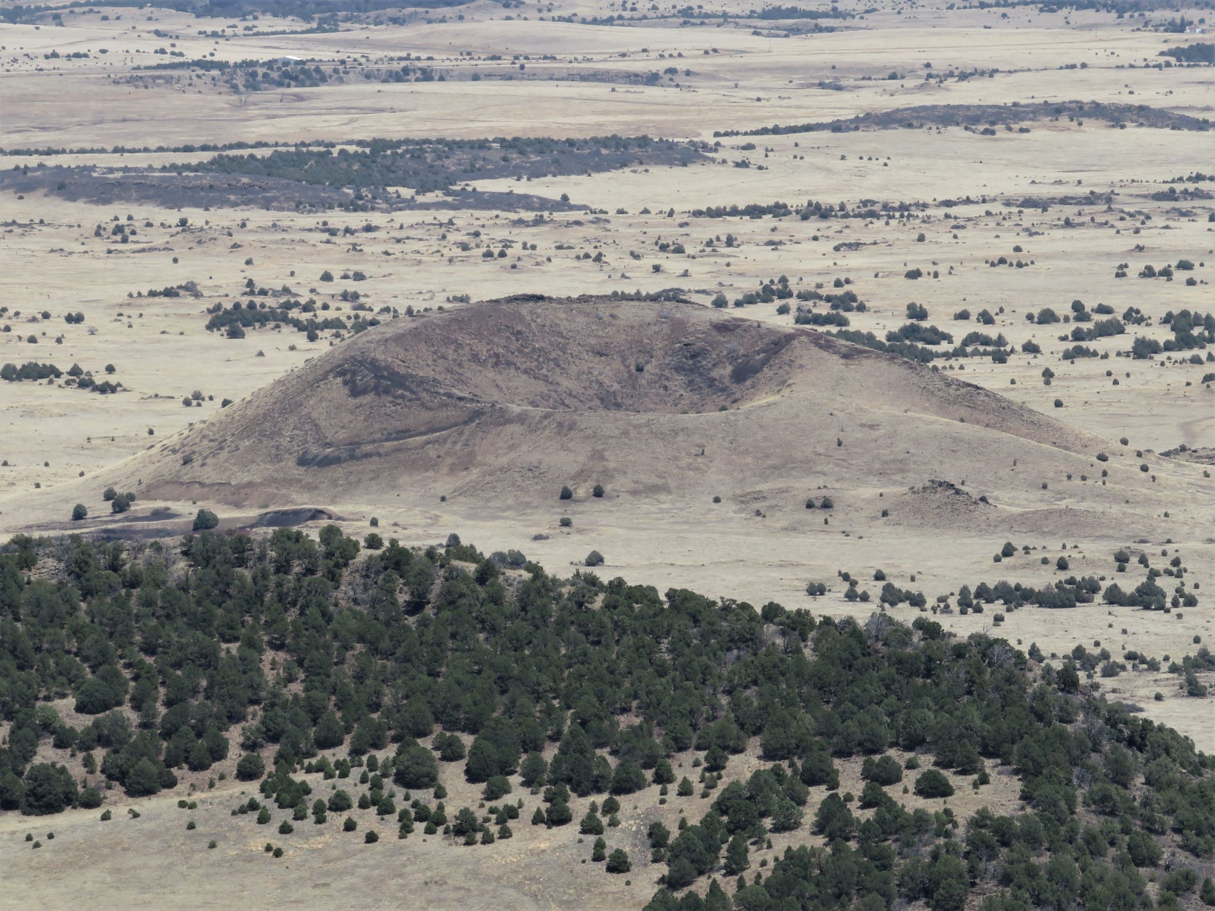
It was chilly overnight but Wednesday turned out to be a great day to do some outdoor activity and we headed to nearby Capulin Volcano National Monument. We had never heard of the place but saw a sign mentioning it on our drive in yesterday. Turns out it is part of the 8,000 square mile Raton-Clayton Volcanic Field! On the way, we came across some free range cattle crossing the road!
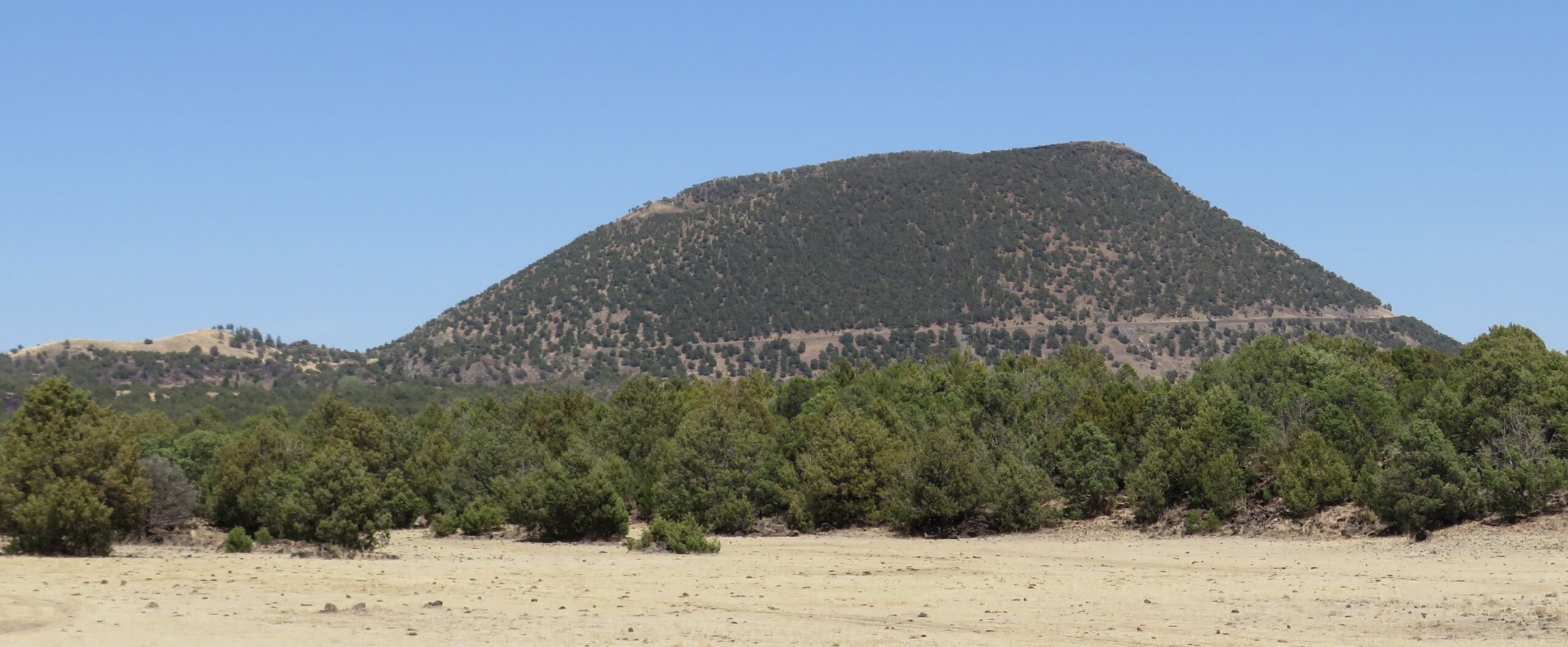
As we approached, we could see the road winding around the cone of the volcano.
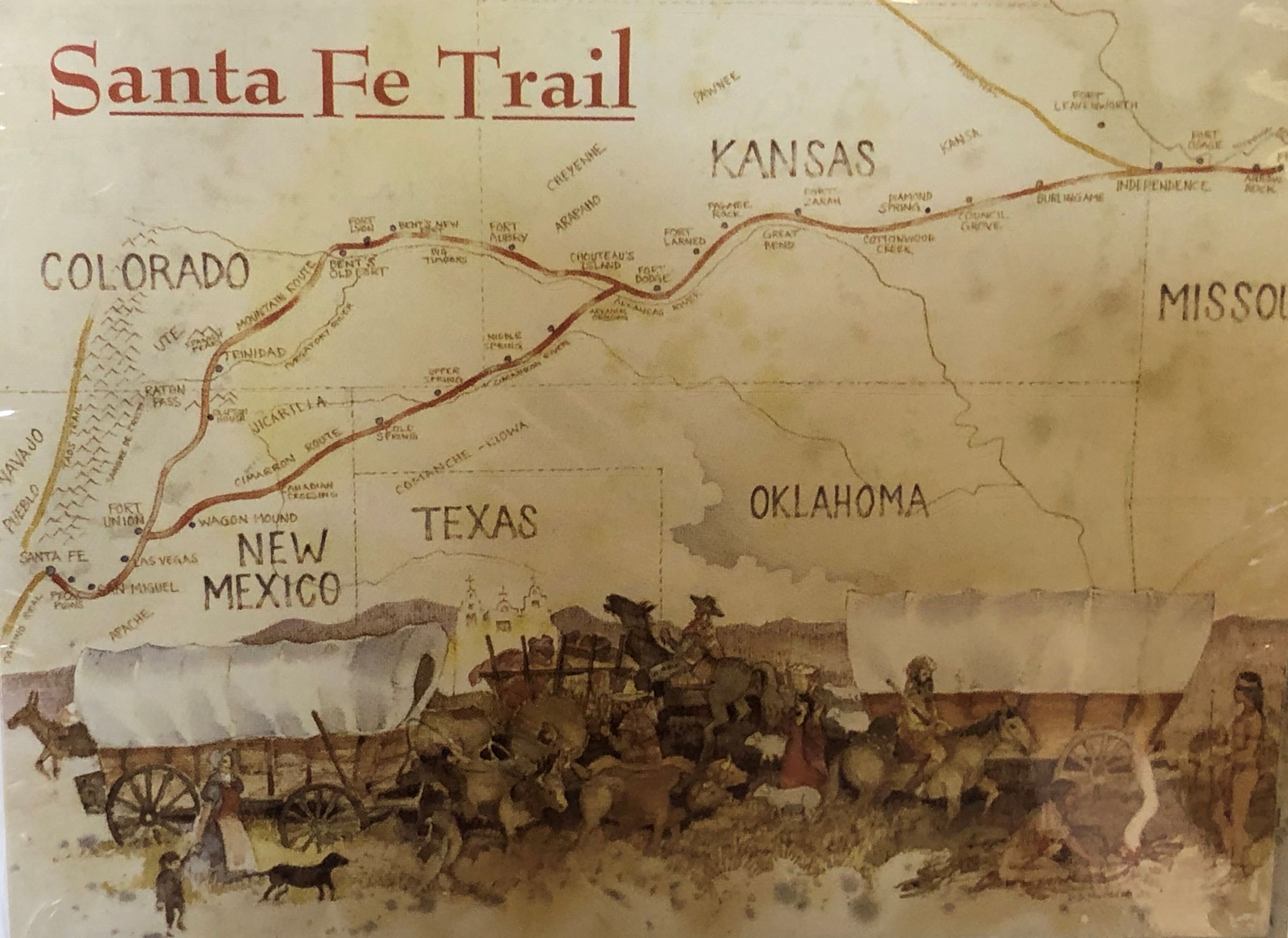
The Sante Fe Trail runs thru this area – it was an important route connecting Missouri and Santa Fe, New Mexico.
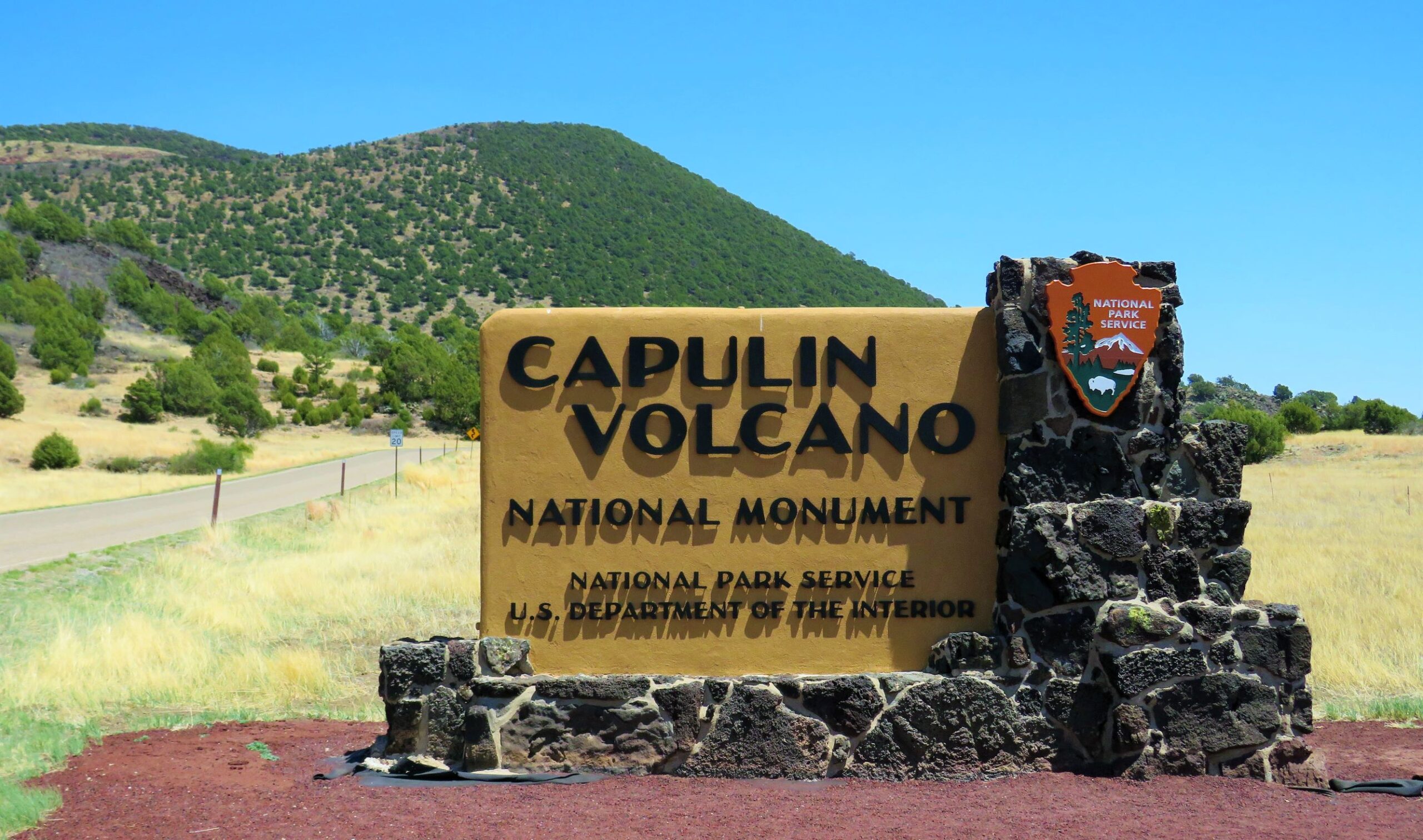
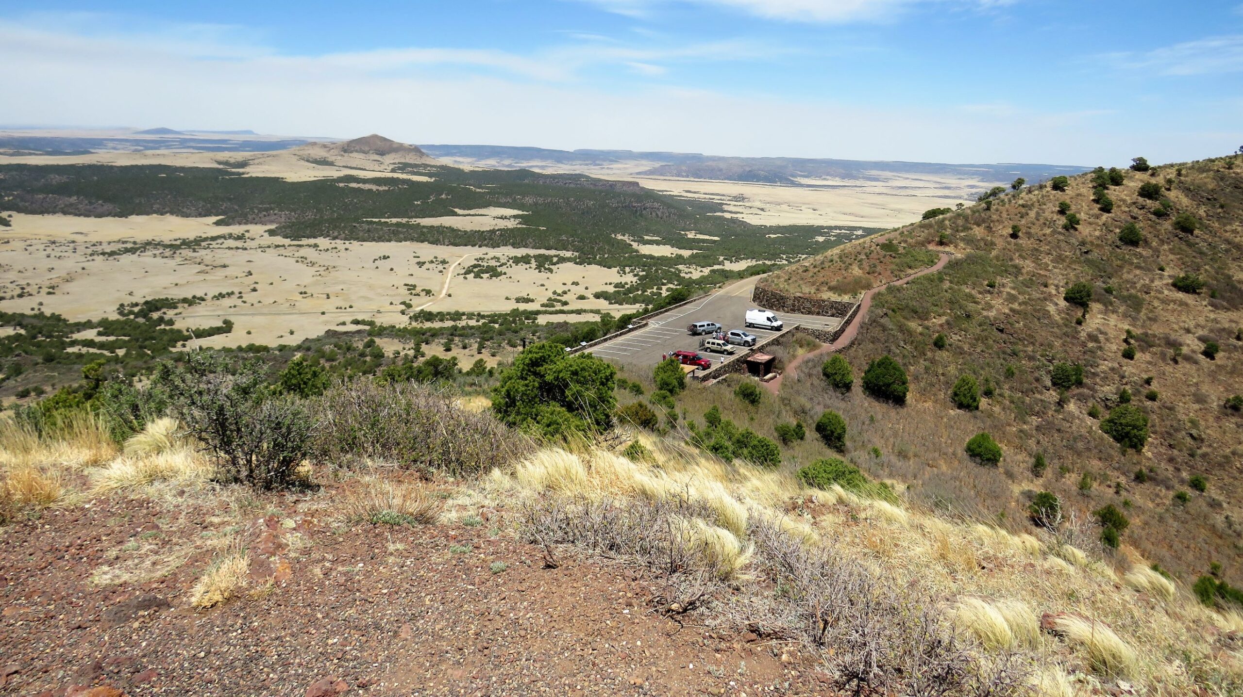
We stopped by the visitor center and saw a movie about the volcano, then drove up to the end of the road to see the cone. The wind was so strong, it was hard to get a photo of this sign!
The view from the parking lot was awesome!
We first walked up toward the edge of the rim, way above the parking lot! it was so windy, we didn’t walk all the way up to the top of the rim, but we got up pretty high!
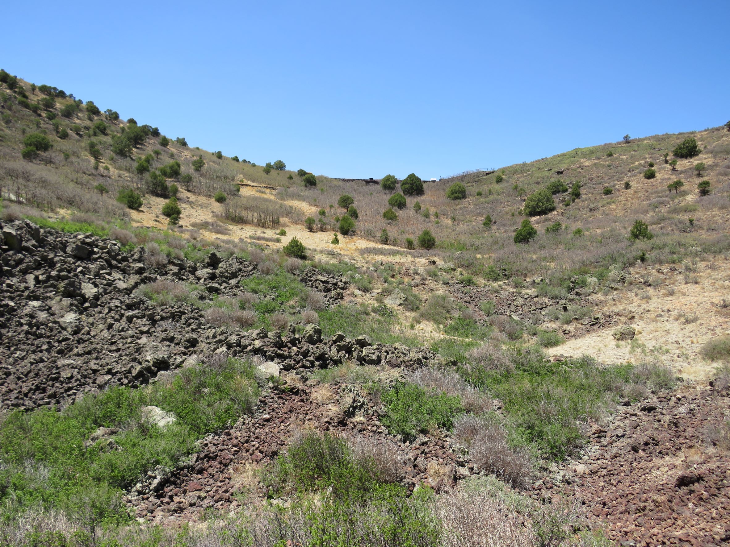
And looked down into the crater
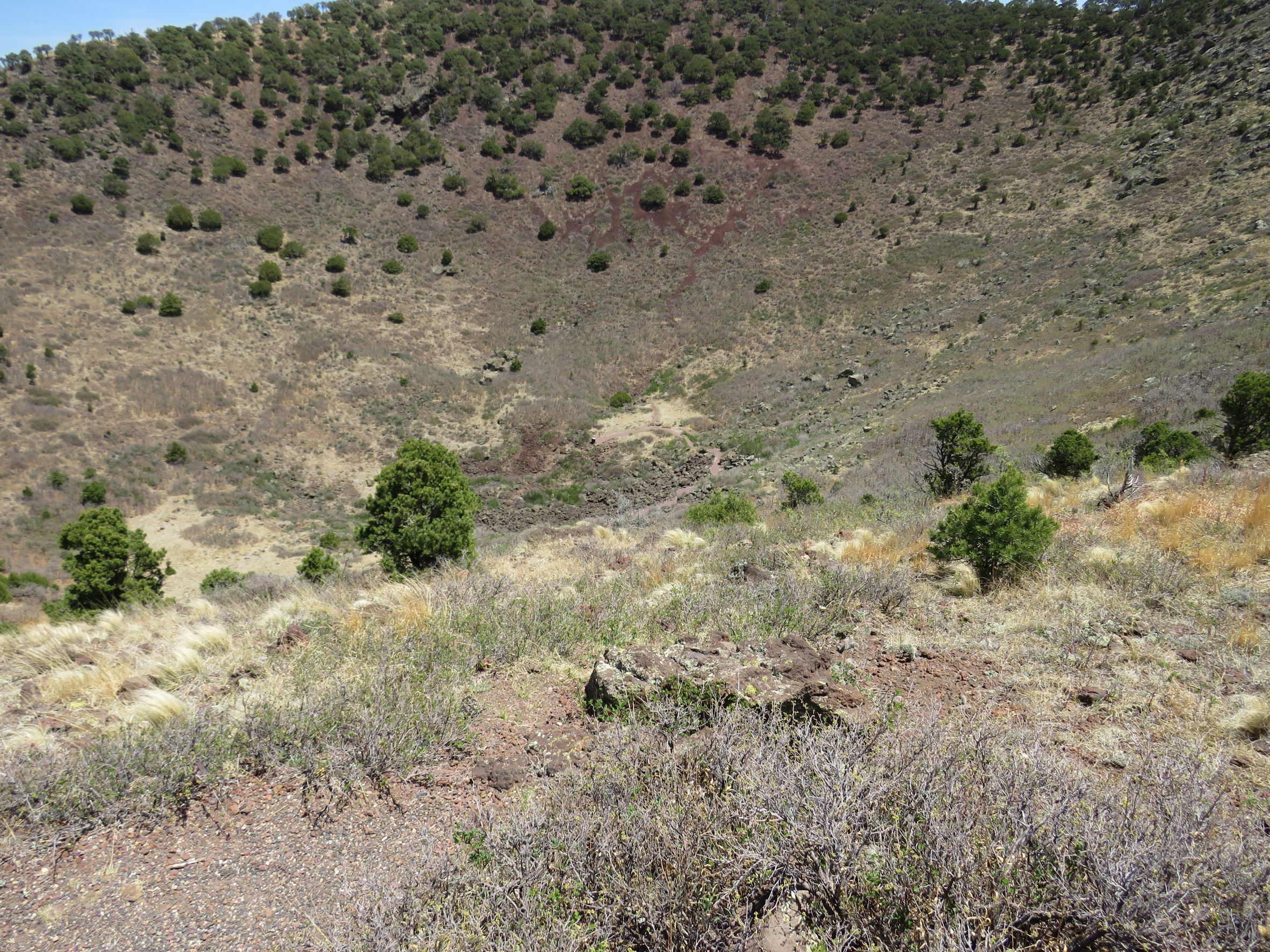
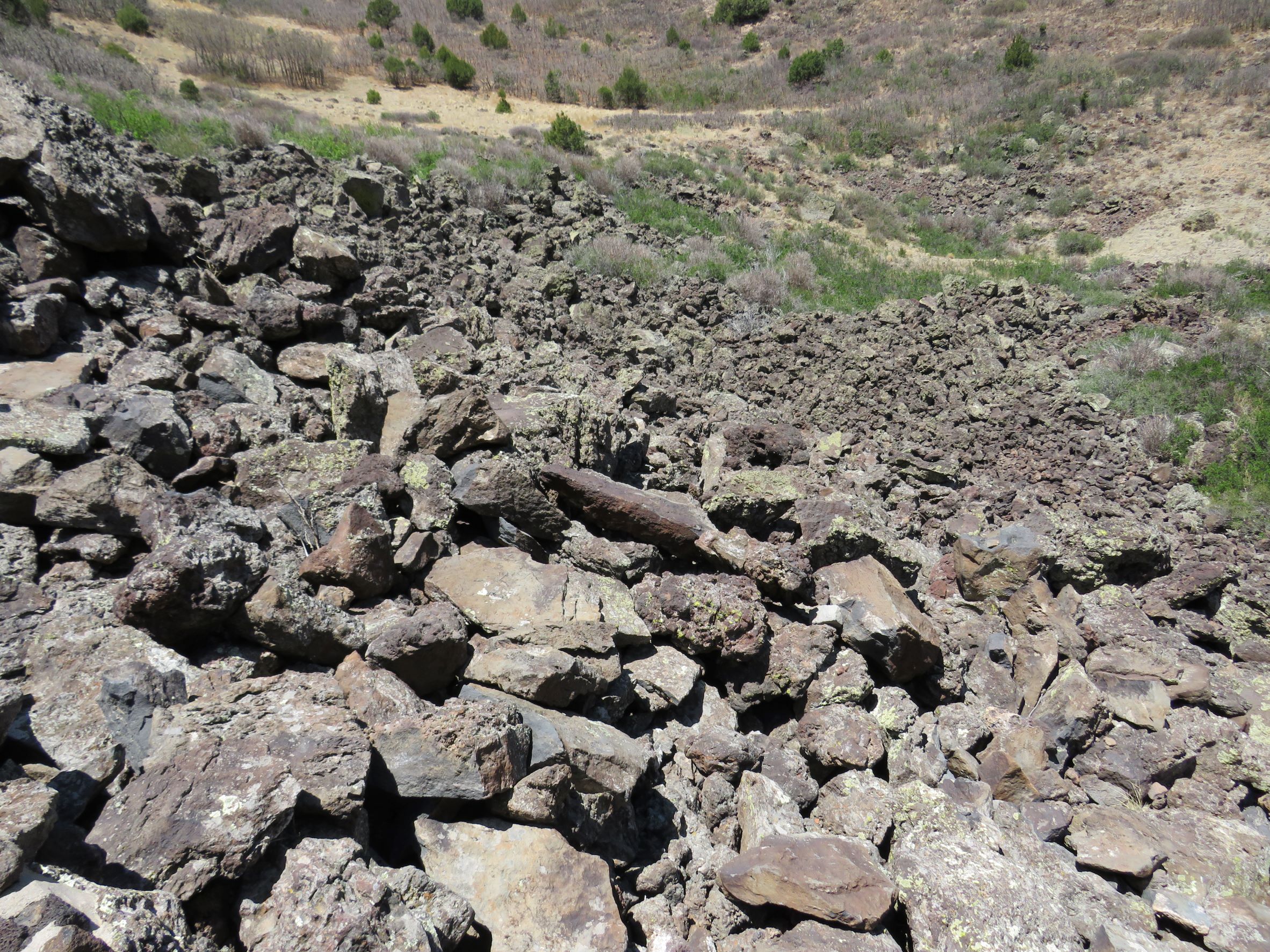
Then we walked the trail down to the vent area at the bottom of the crater.
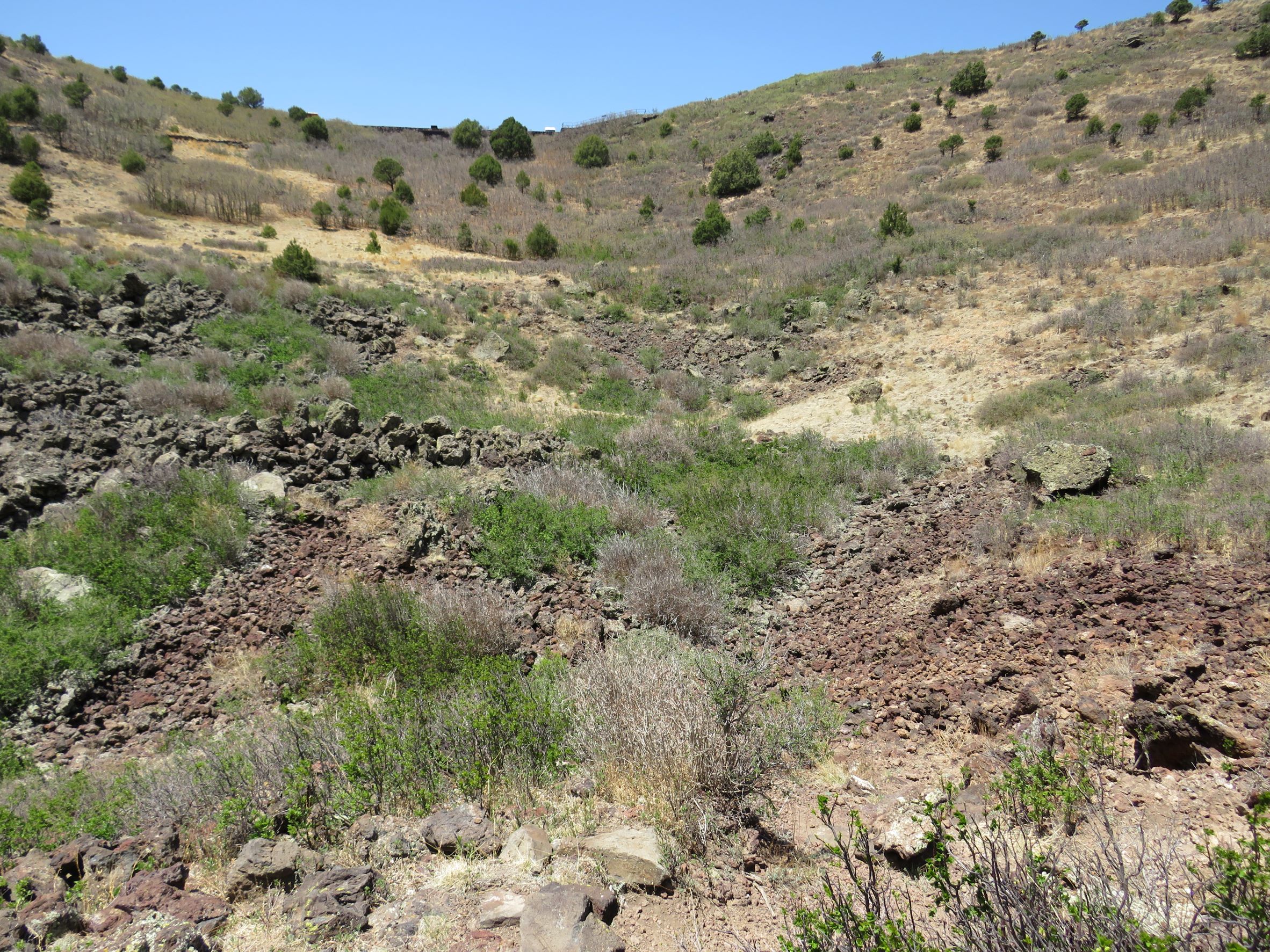
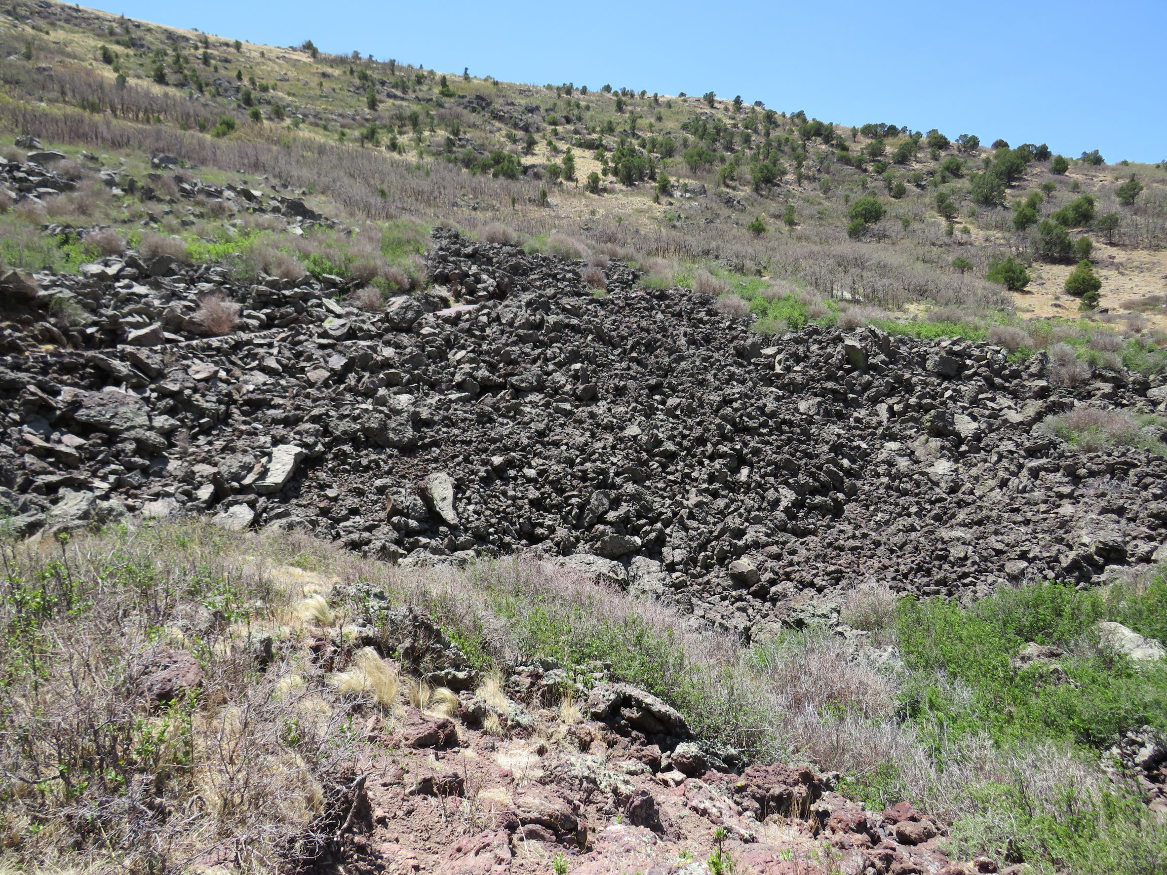
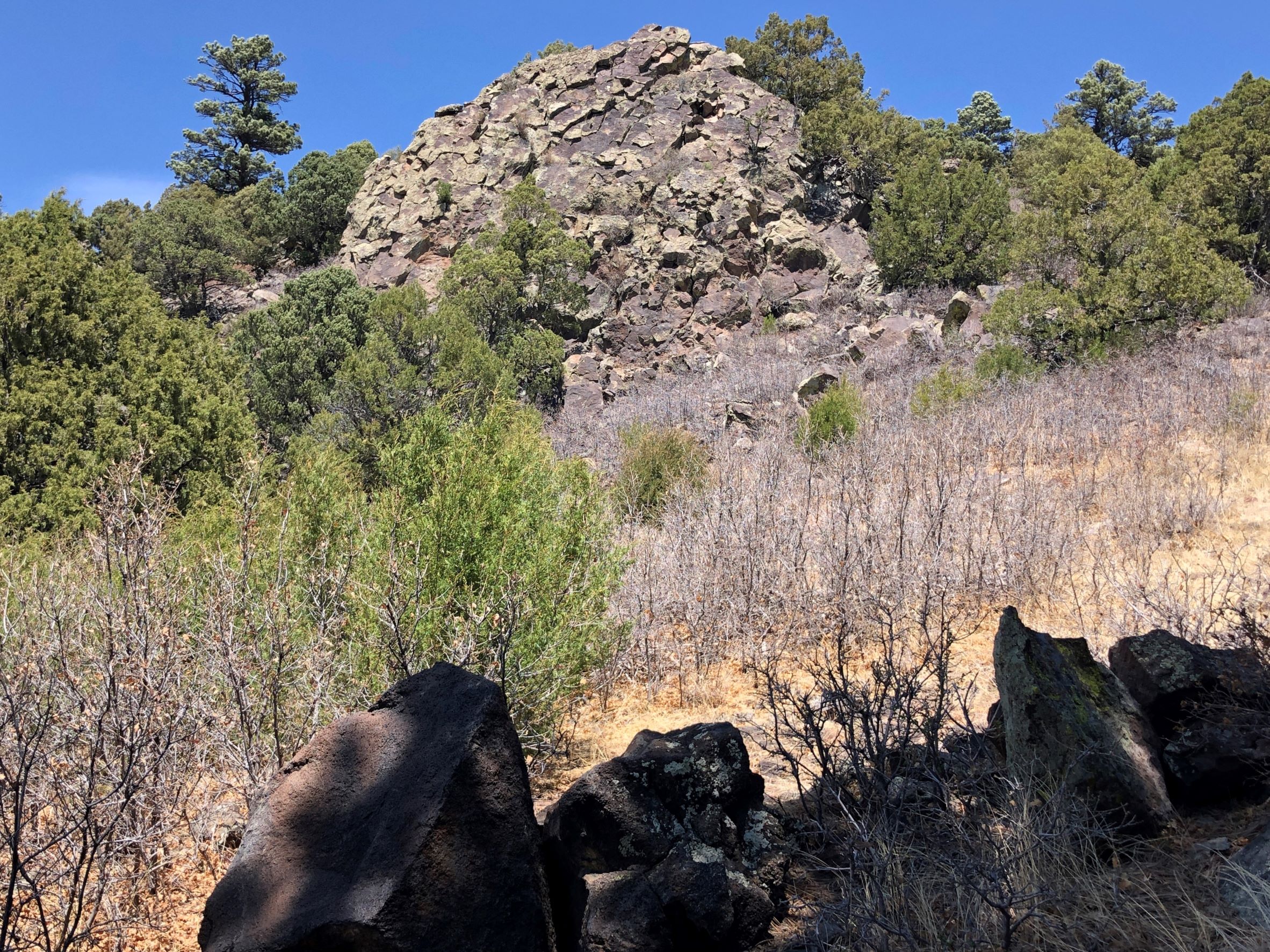
There were larger rocks as we walked back up to the parking area.
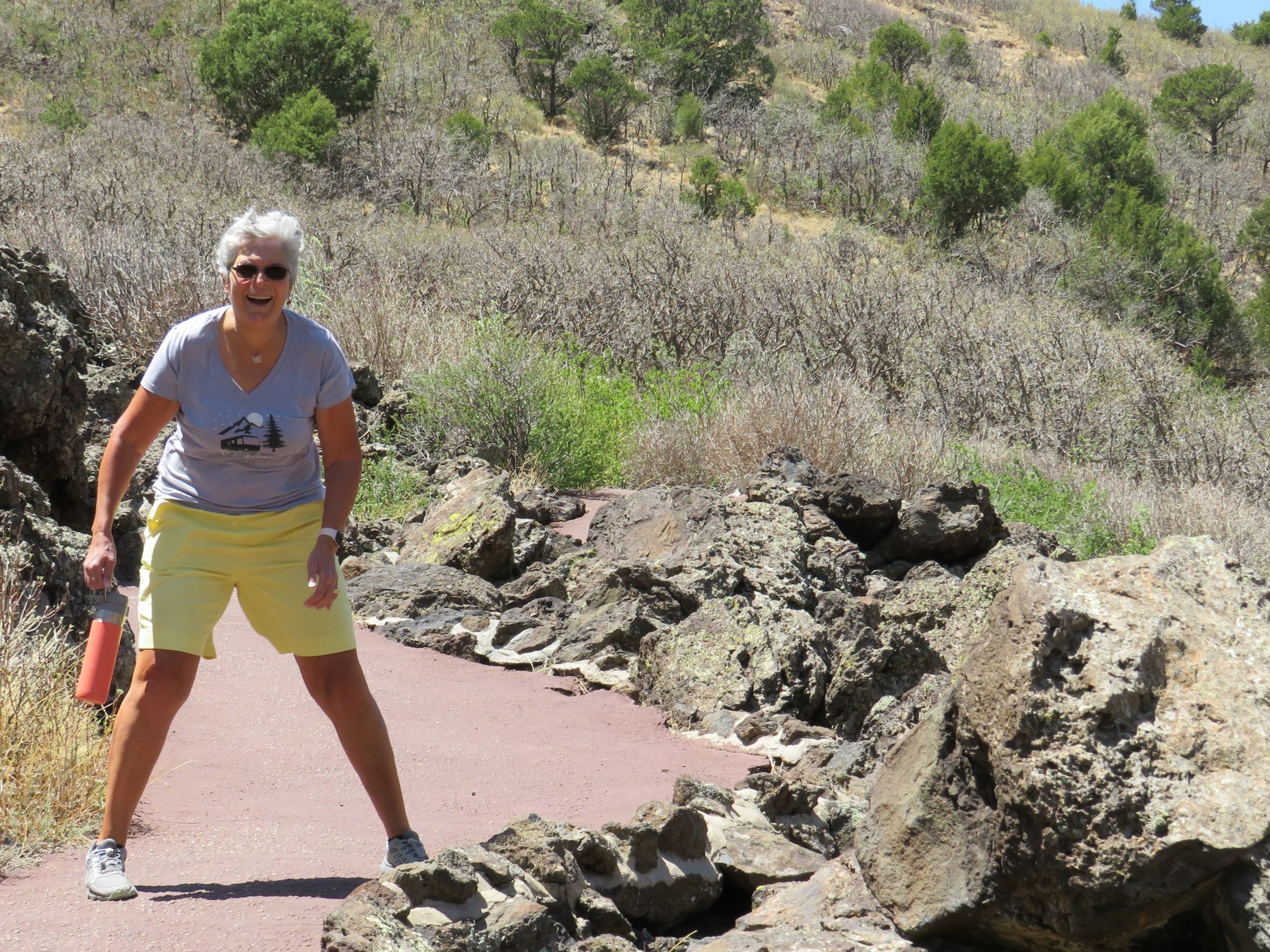
The wind was so strong that Linda had a hard time stopping for a photo – it was almost like being in a hurricane!
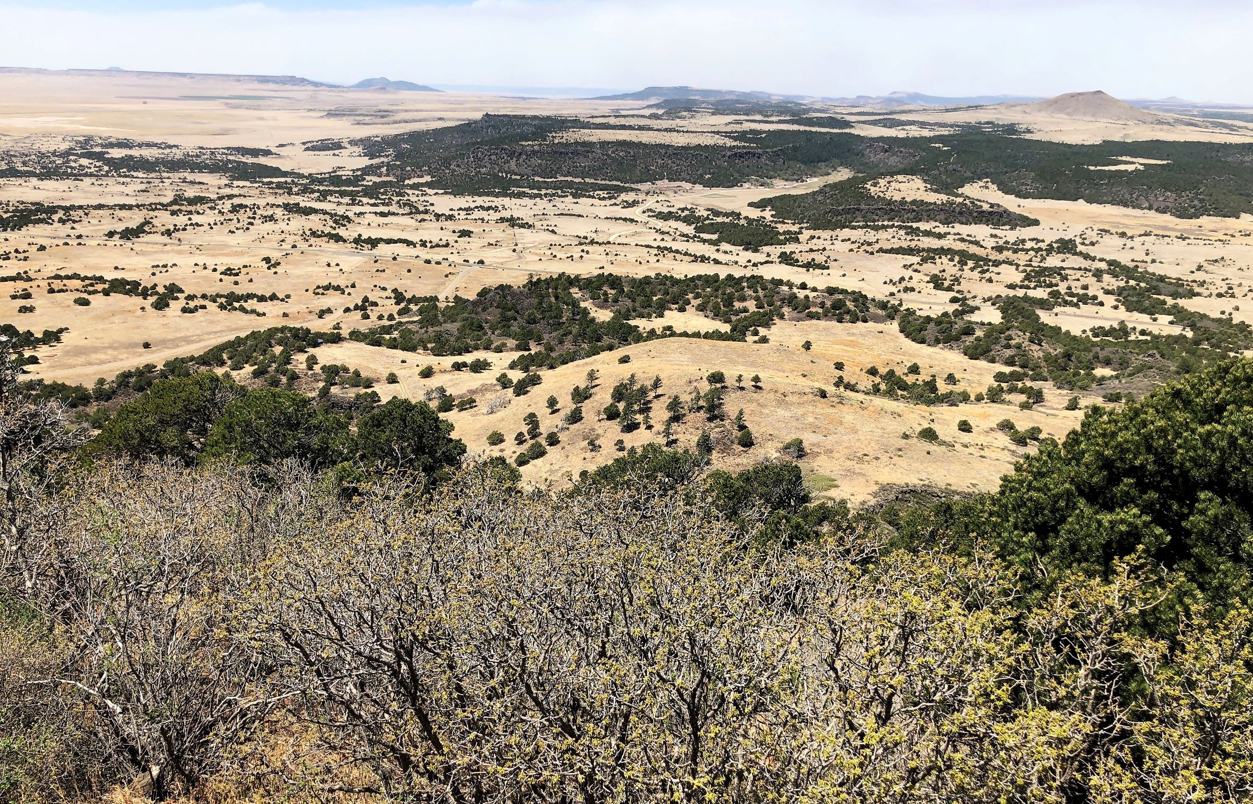
As we drove back down the road, the surrounding volcanic landscape was so interesting!
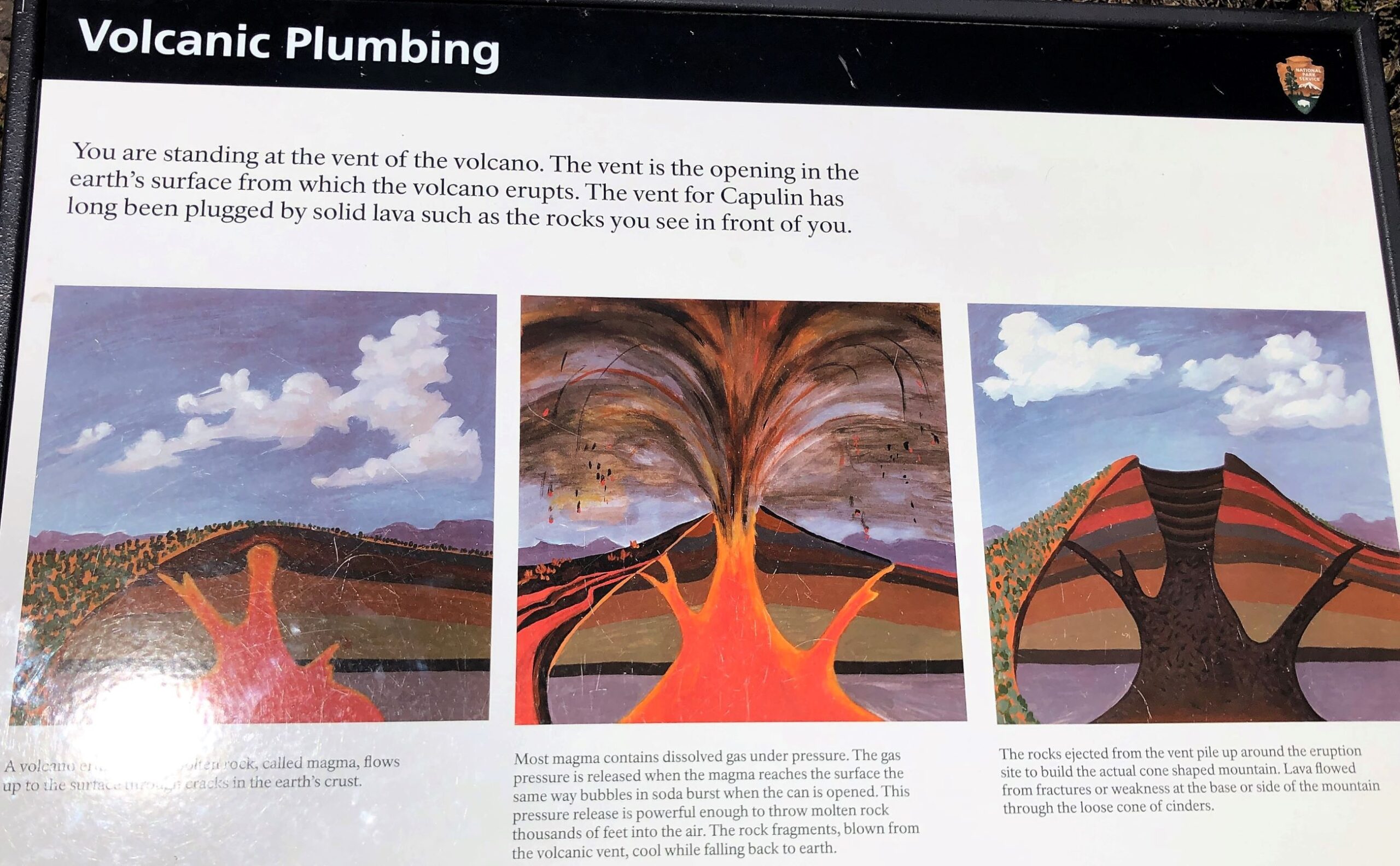
We found a picnic area and had lunch – we have been in the habit of packing lunch while we have been on the road – you never know if there will be a place to eat. This volcanic formation is from magma forcing its way up, but not as forceful as a volcanic explosion.
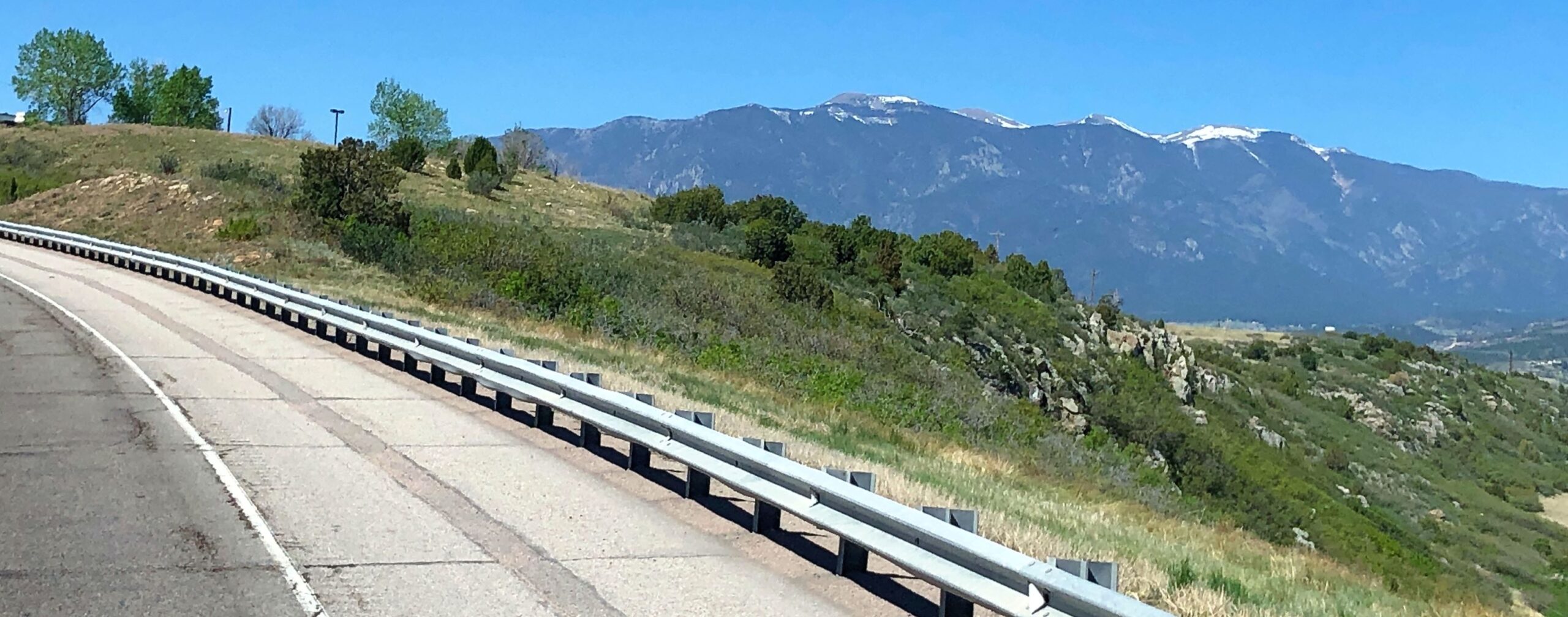
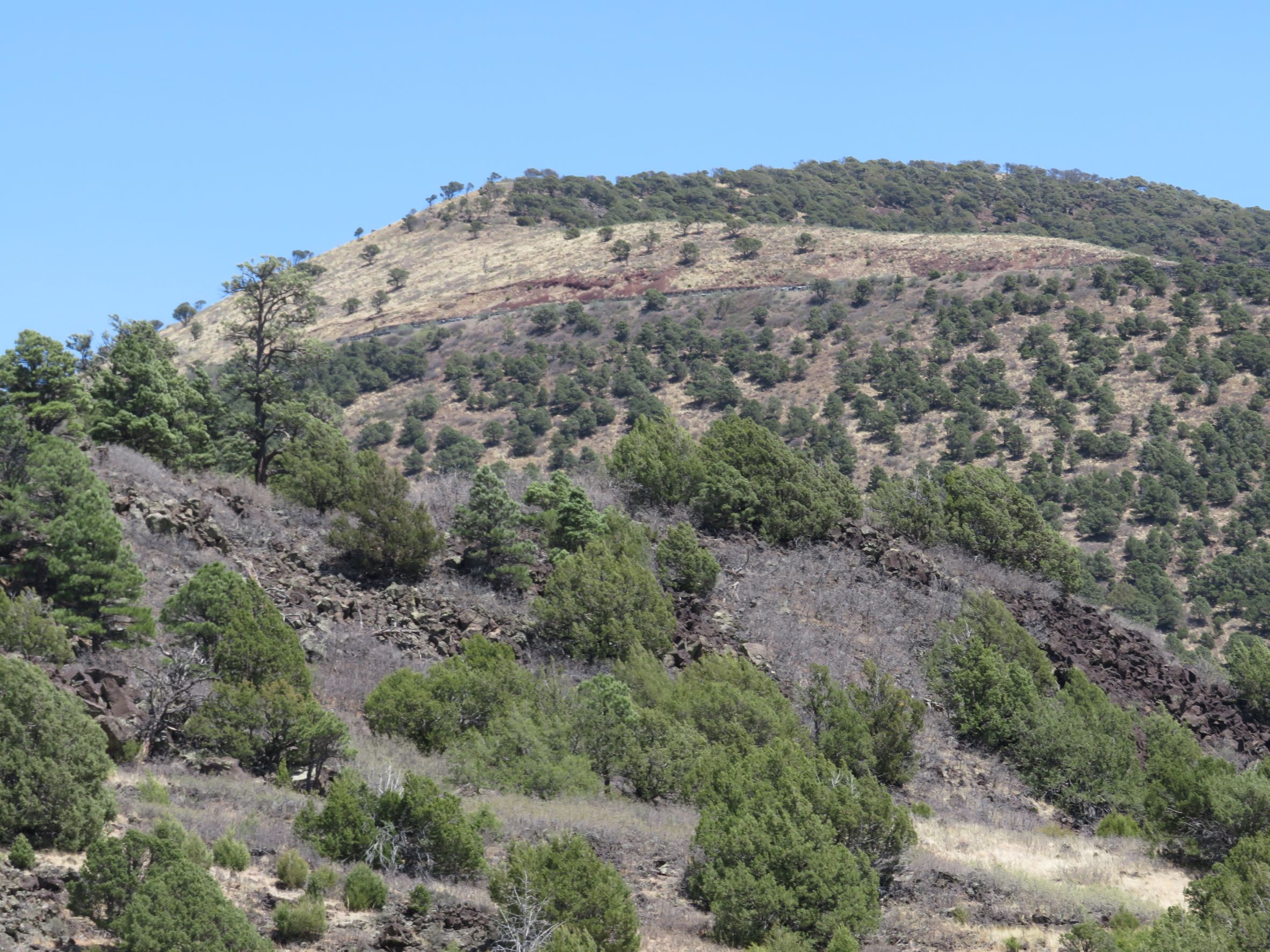
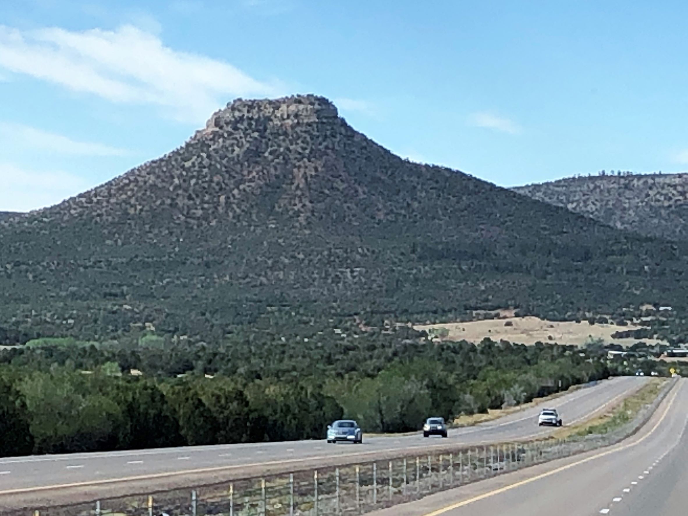
The landscape in New Mexico is really something!
As we drove on, the skies became hazy from the smoke from fires near Sante Fe
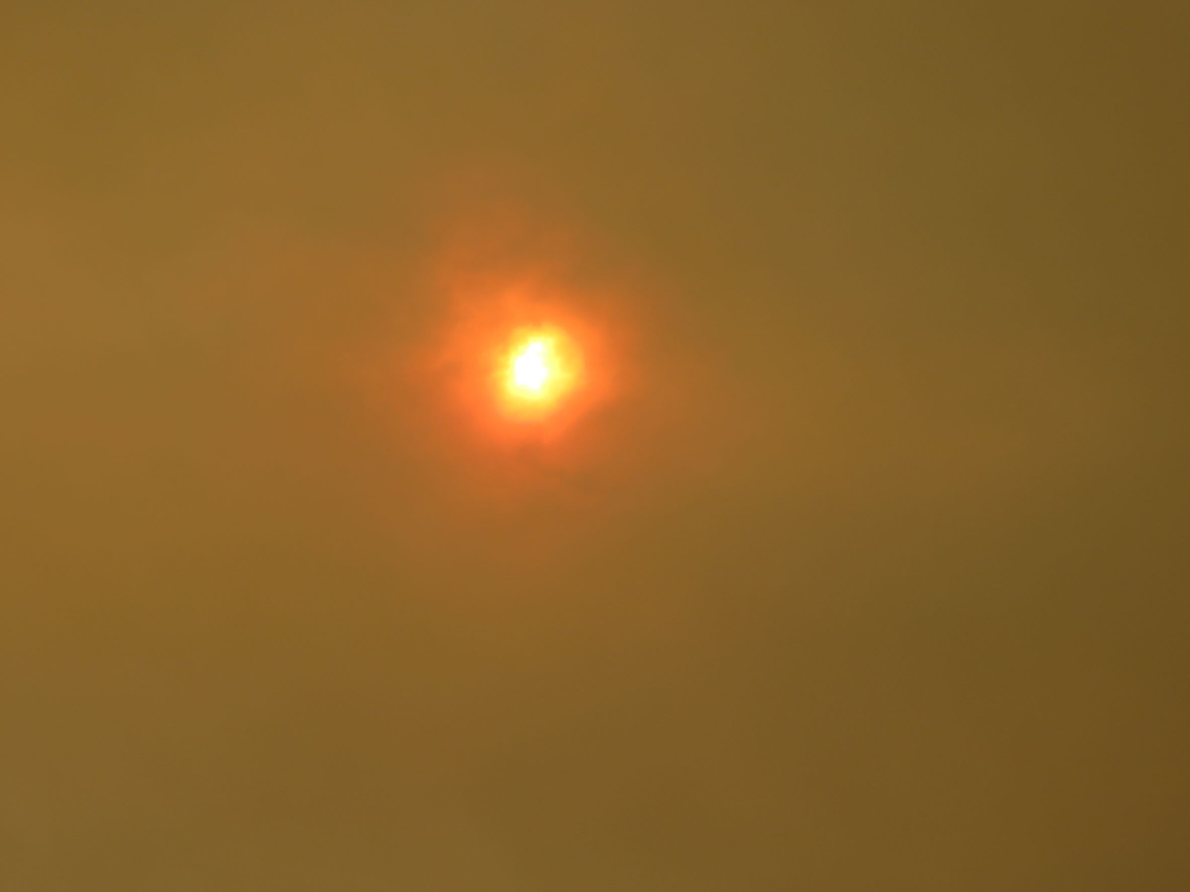
3-4 hours later at the RV park, the skies were quite smoky and orange, reminding us of the California skies when we were near the fires in 2020.
The sun was almost hidden!
Thursday morning, we left Raton early to avoid high winds predicted about noon. It was 7:30 am when we headed out with 83,838.4 miles on Acey and 102,572 on Thor. We could see smoke in the distance from the fires.
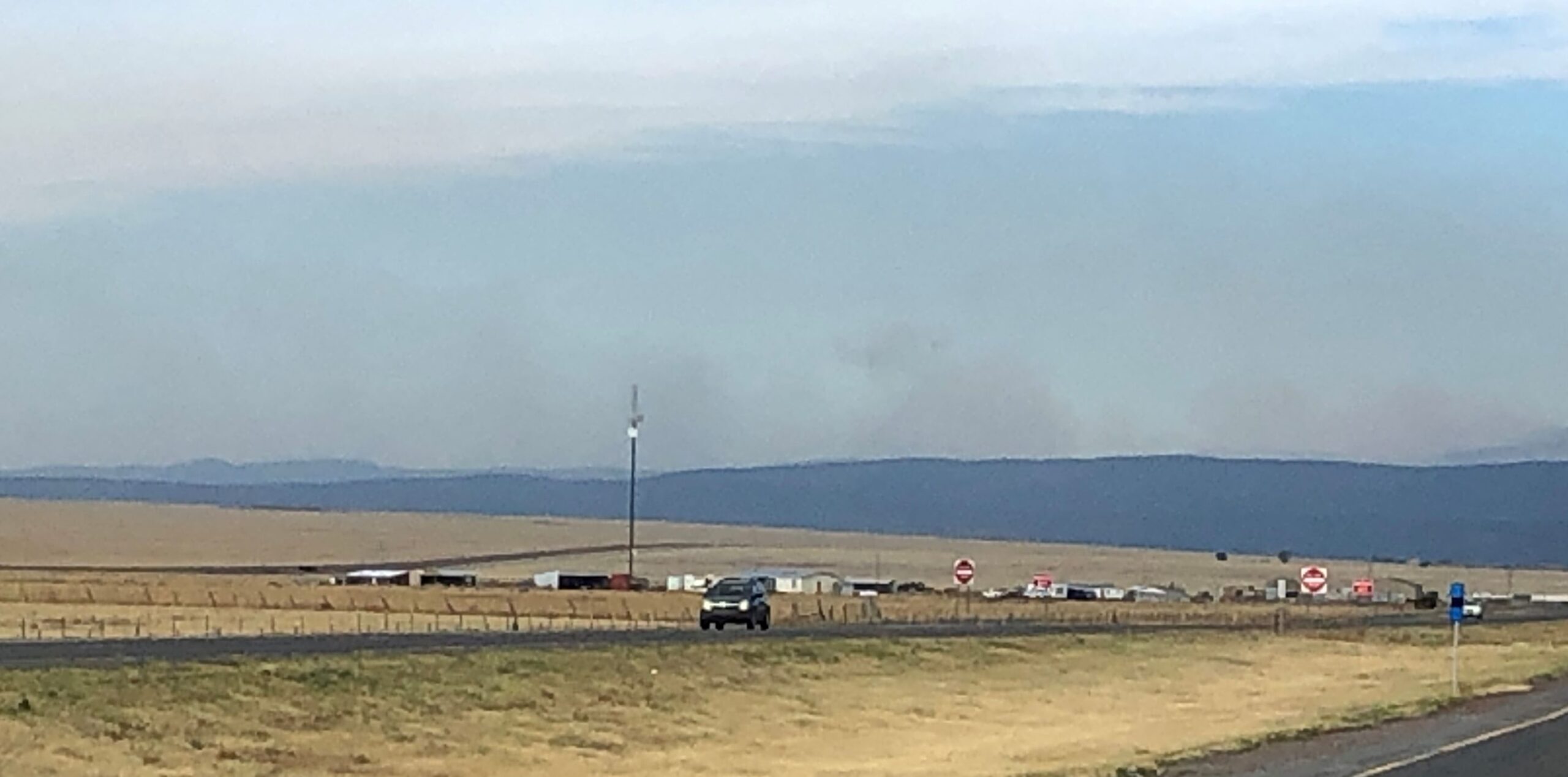
As we got south of the fires, the skies were blue again and we enjoyed the scenery. This was near Las Vegas, NM
The winds picked up as we passed Soham; this was an unusual sight!
near Rowe, NM
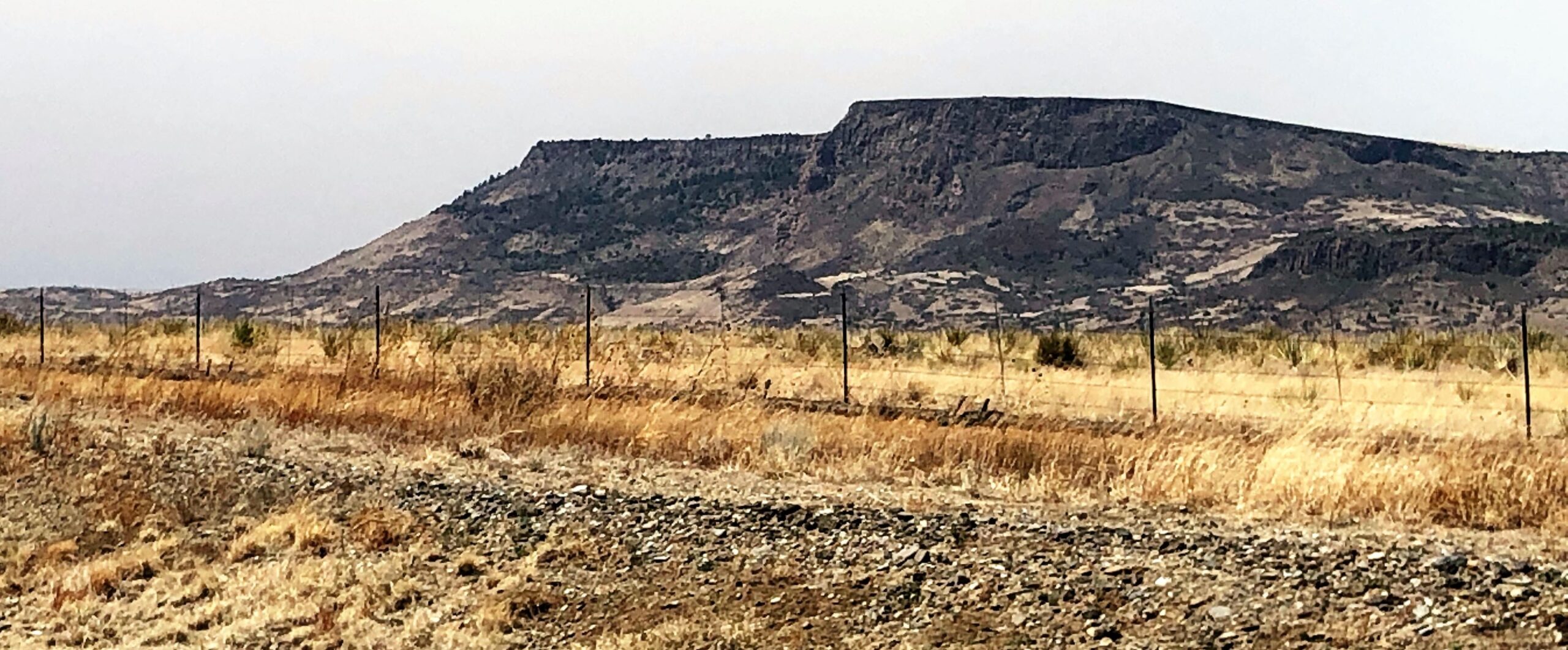
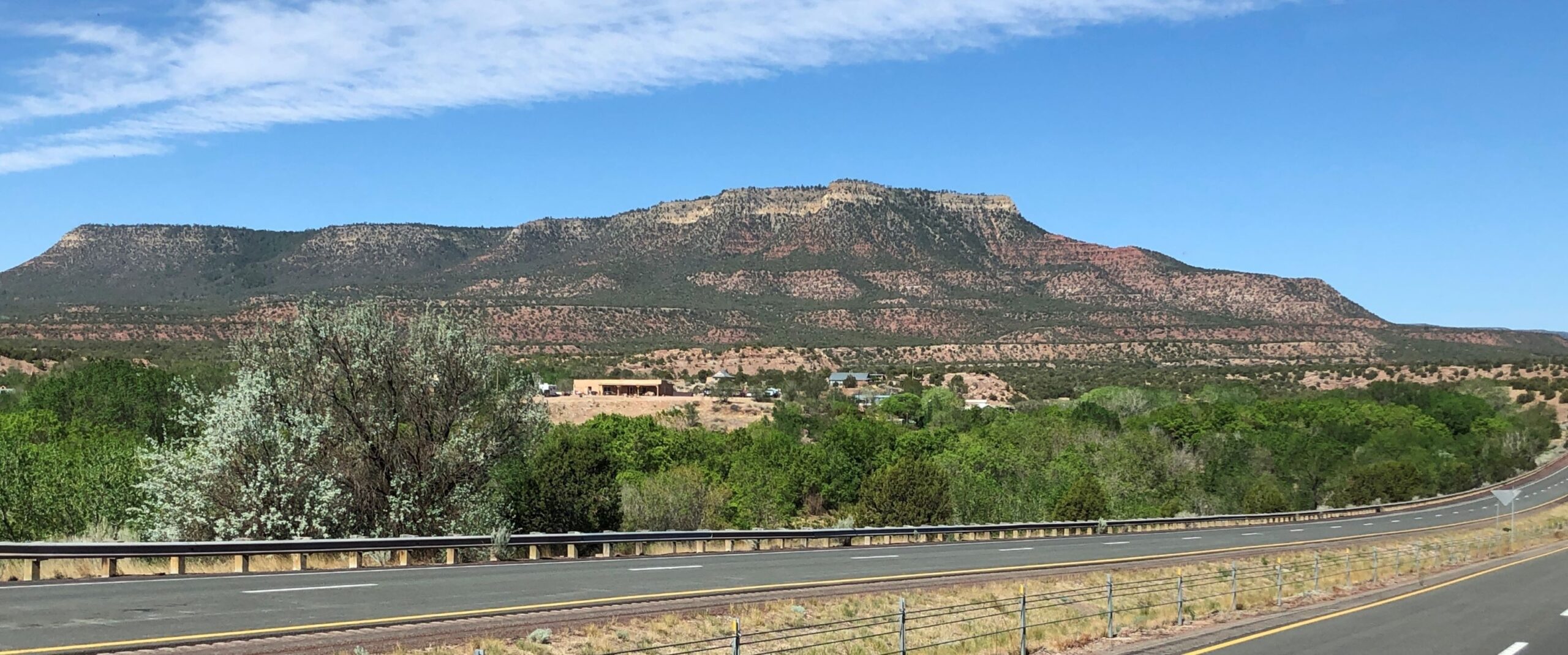
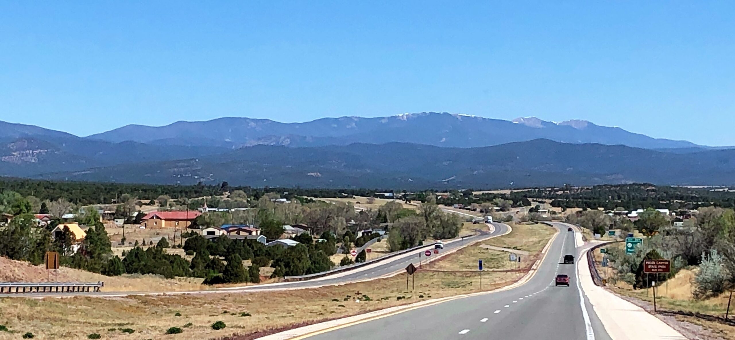
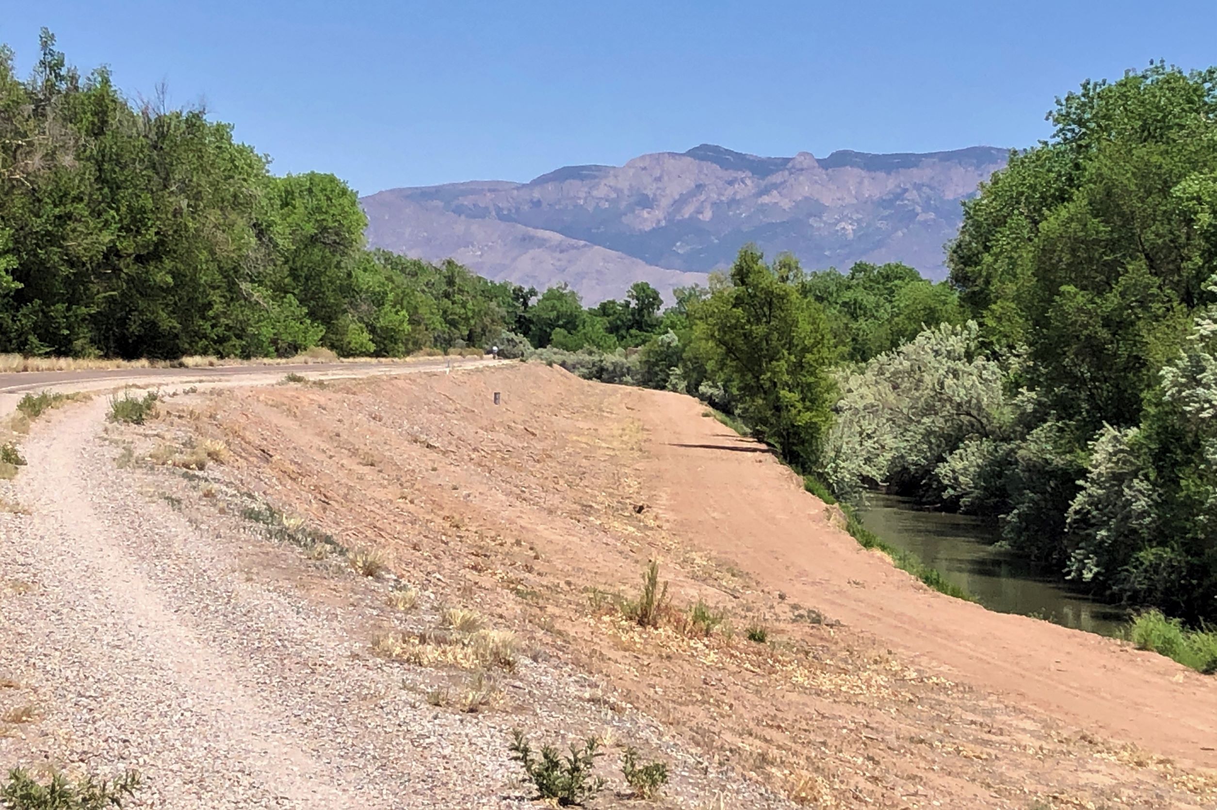
The Sandia Mountains on the horizon.
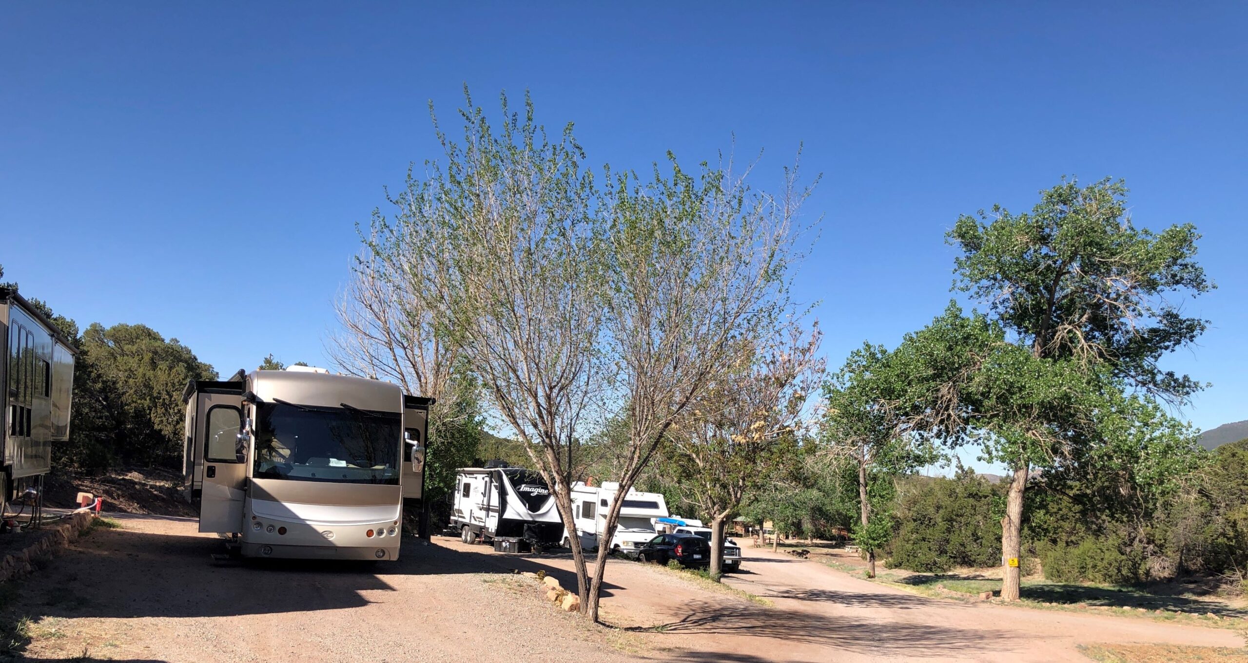
We arrived at Hidden Valley Mountain Resort in Tijeras, NM at 11:30 – not as scenic as the name would suggest – small sites on a gravelly dirt road but we have full hook ups and 50 amp power.
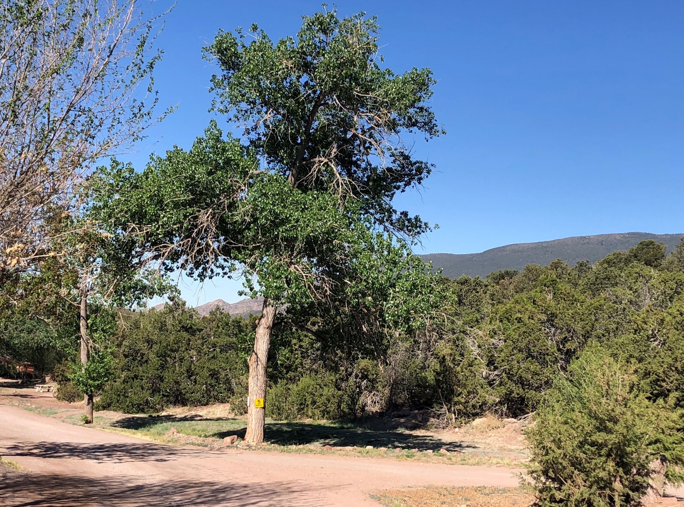
We could get a glimpse of the nearby mountains. We got set up and made lunch, ran over to Costco and the grocery store and had a restful afternoon and evening.
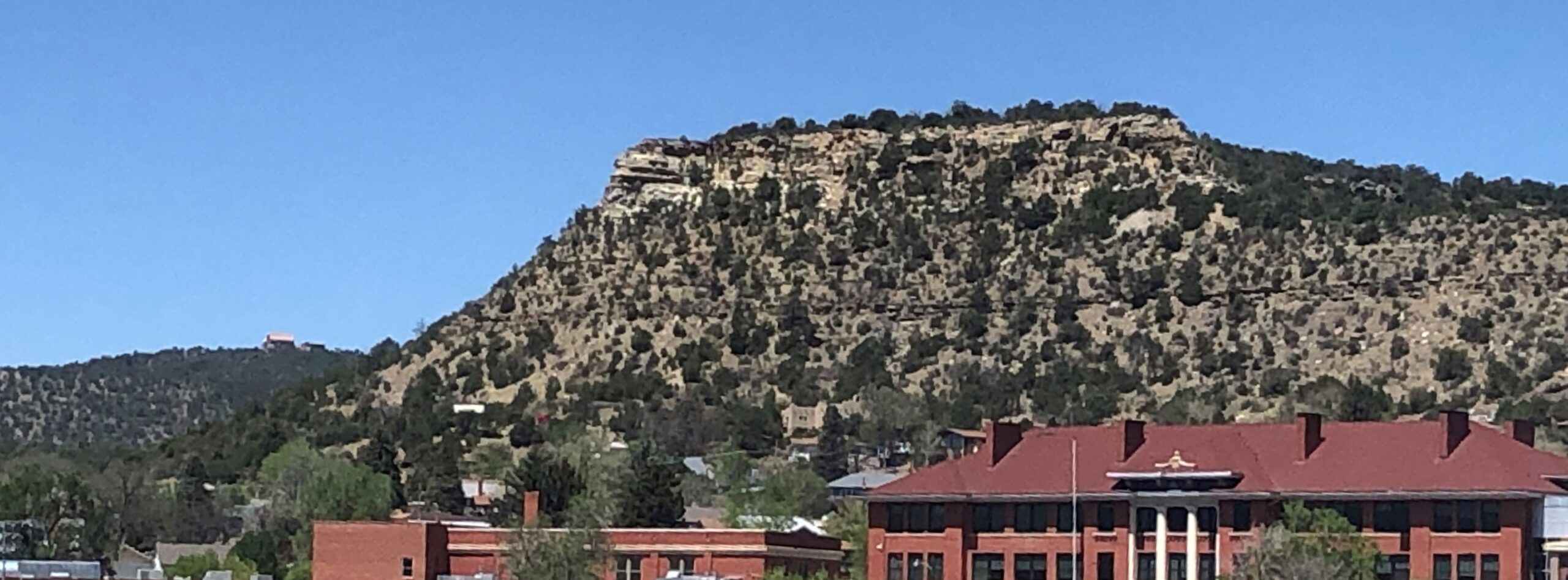
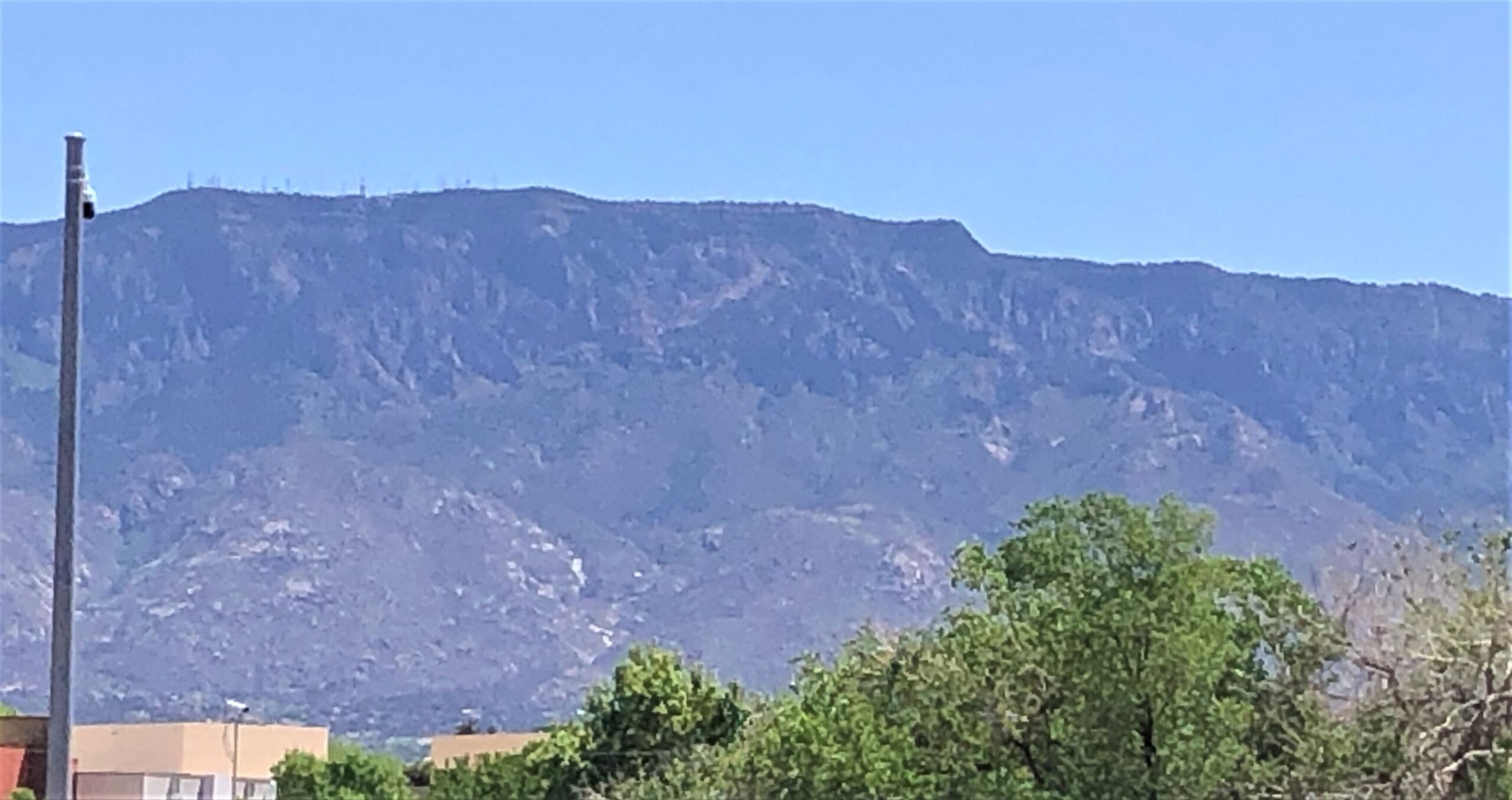
On Friday the thirteenth, after breakfast we packed up a lunch and drove to Albuquerque to ride our bikes on the Alameda Bosque Trail which connected to the Paseo del Bosque Trail. This mountain was apparently a great place for antennas!
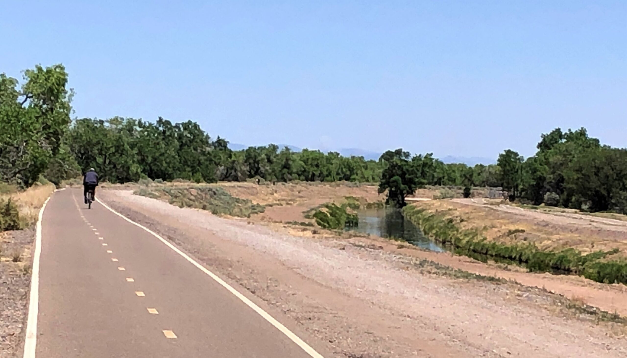
The trail was paved and offered very little shade and ran along a levee for the Rio Grande. (The Rio Grande was off to the left quite a way – we didn’t see it) A gravel path ran alongside the paved path, and down lower was a dirt path where we saw one horse and rider.
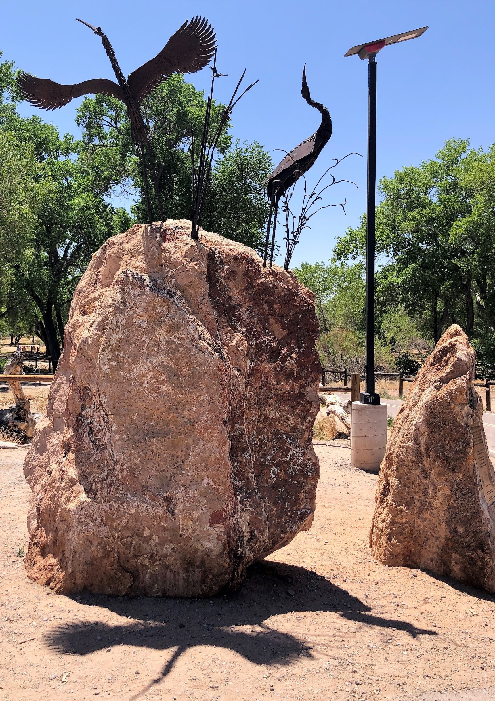
We rode nearly 10 miles before we found a small park with a picnic table and a bird sculpture.
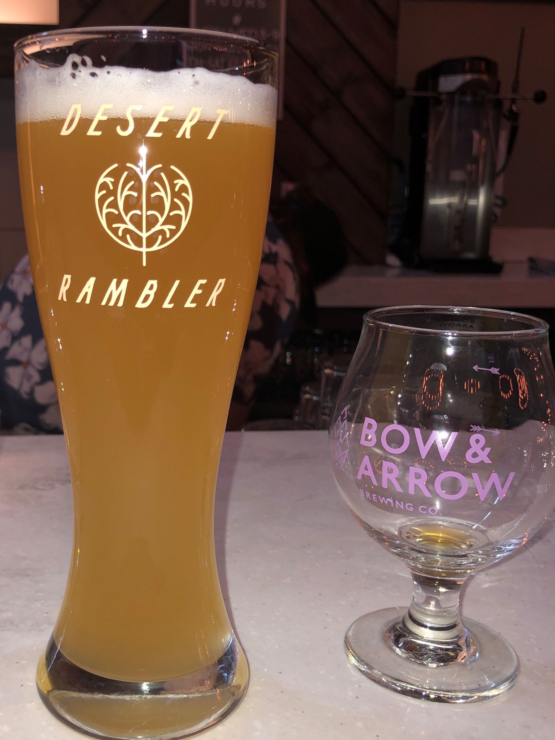
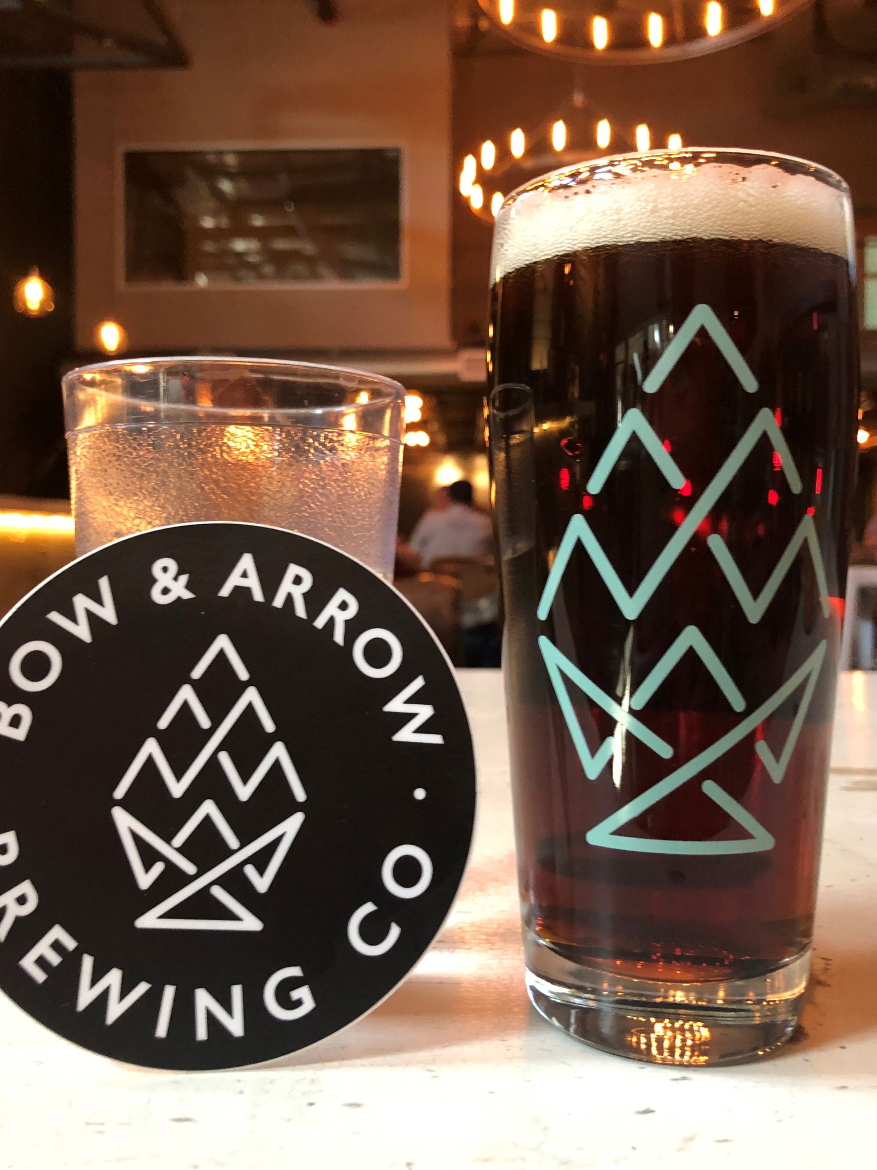
A dry warm day to ride with virtually no shade – we rode 19 1/2 miles. Afterwards we stopped at a brewery – Bow & Arrow did a collaboration with Yazoo called “Native Land” – which we had when we were at Yazoo in April. We met a young couple that live in ABQ and enjoyed chatting with them!
Saturday was “moving day” again and we left Hidden Valley at 9:15 with 84,058.9 miles on Acey and 102,667 on Thor. A clear day to drive in this desolate area.
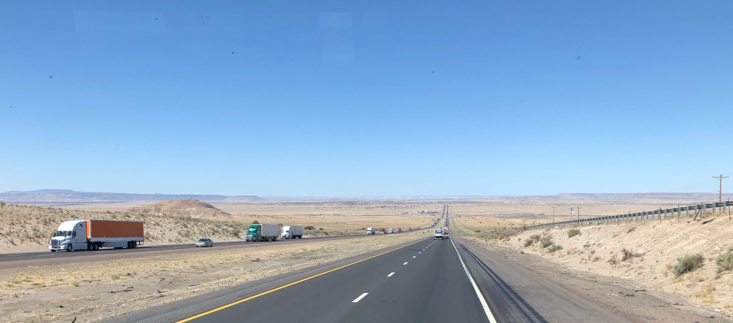
We stopped for fuel at the TA in Albuquerque, filling the tank. Acey was quite thirsty, costing $436.94 (yikes) to fill up! We are fascinated with the scenery as we drive the highways…
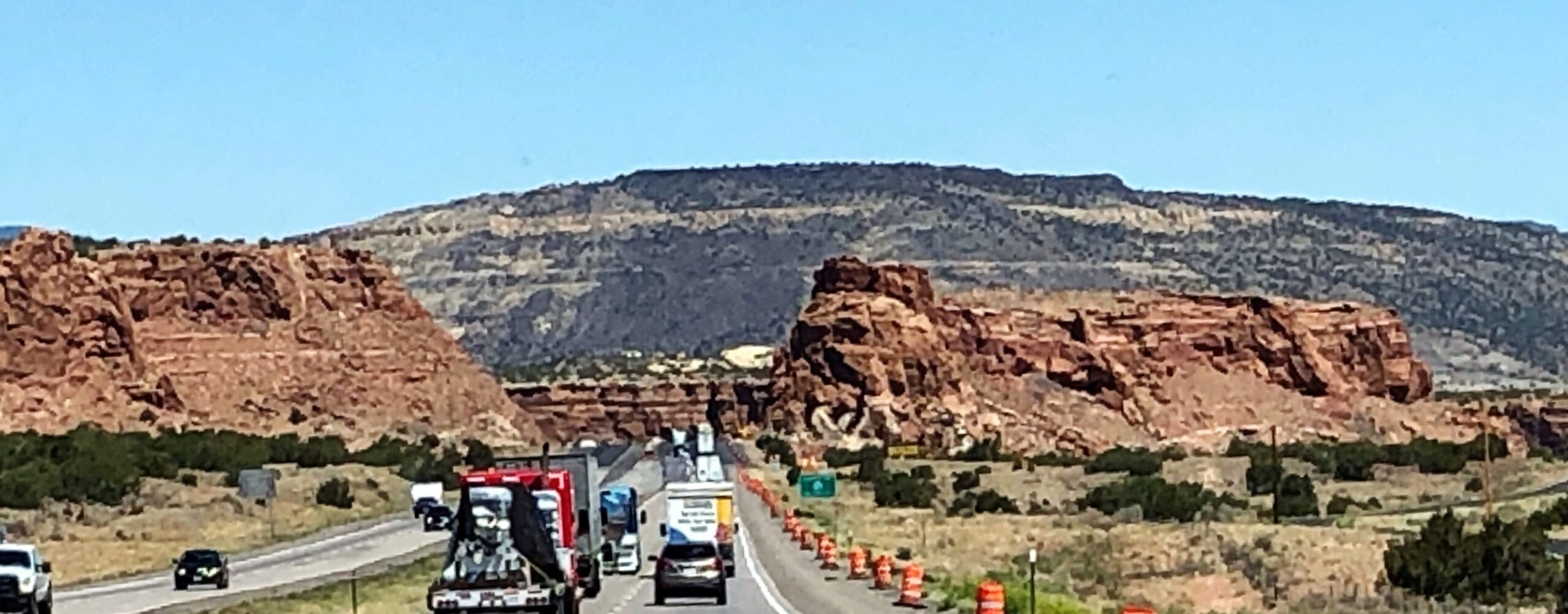
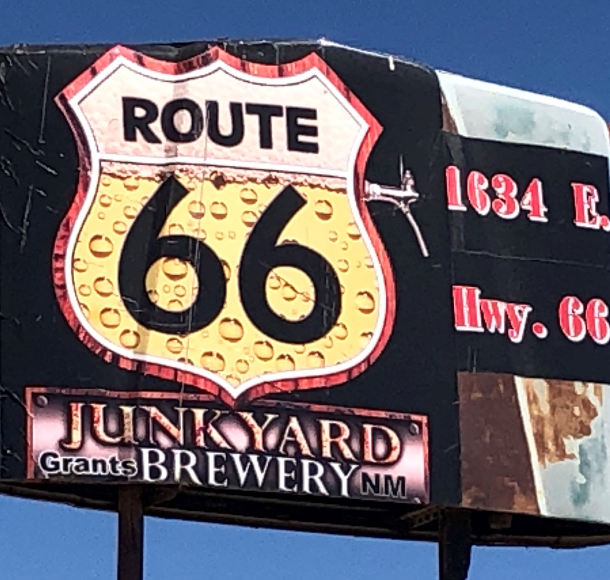
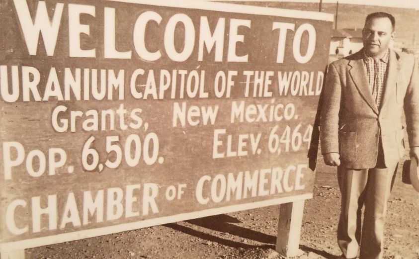
We arrived in Grants NM at noon and are staying at a Harvest Hosts spot – Route 66 Junkyard Brewery – a junkyard that started a Brewery 6 years ago.
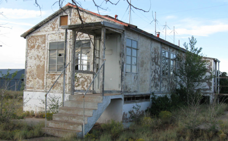
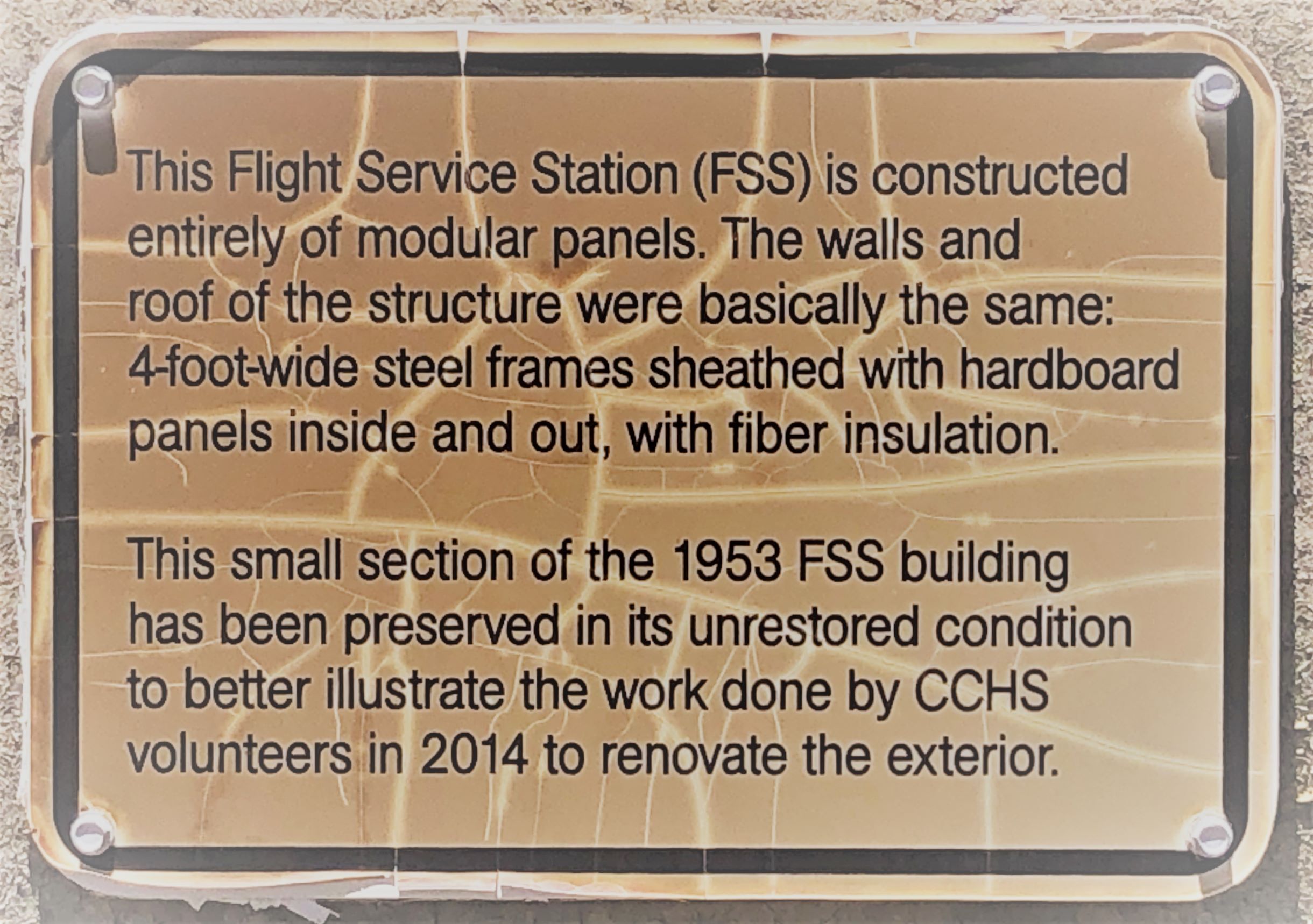
We got Acey parked and disconnected Thor and left to go see the Aviation Heritage Museum nearby. We found a flyer about the place at the New Mexico welcome center and were surprised to see it was in Grants where we planned to stay overnight on Saturday – and the museum is open only on Saturdays 9-1! We learned some about early air navigation systems – this 1953 Flight Service Station building was abandoned after 1973 and slowly deteriorated…
…and was restored and now houses most of the museum.
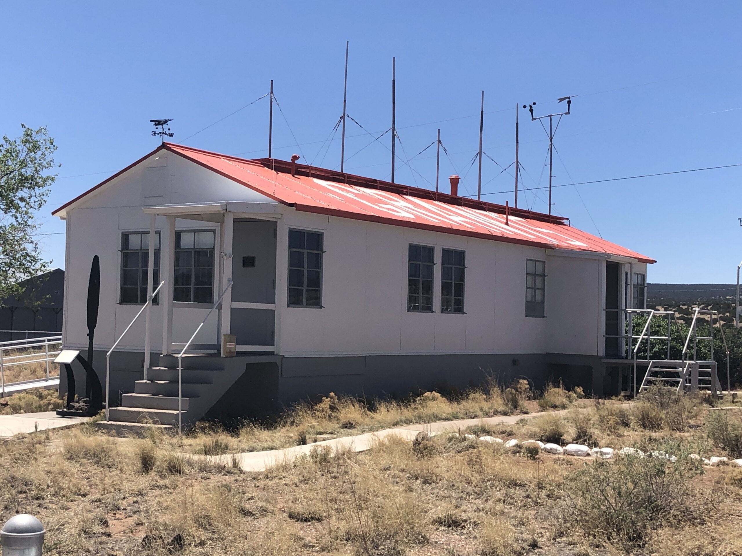
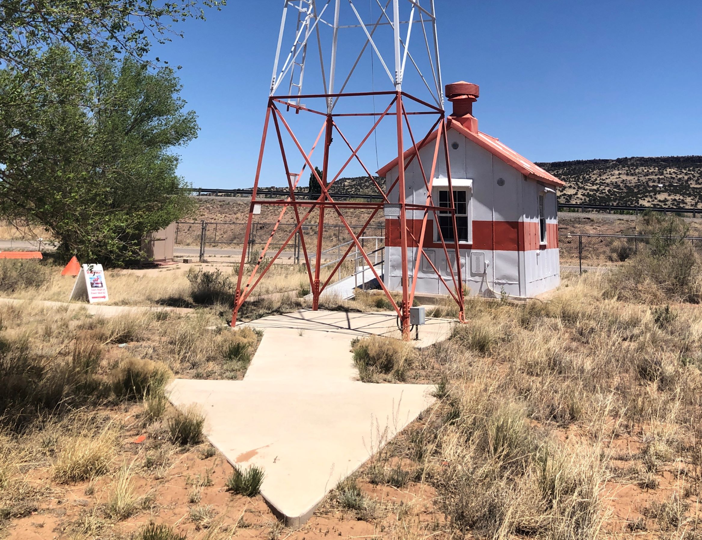
From the FSS building we had a good view of the beacon tower and generator building.
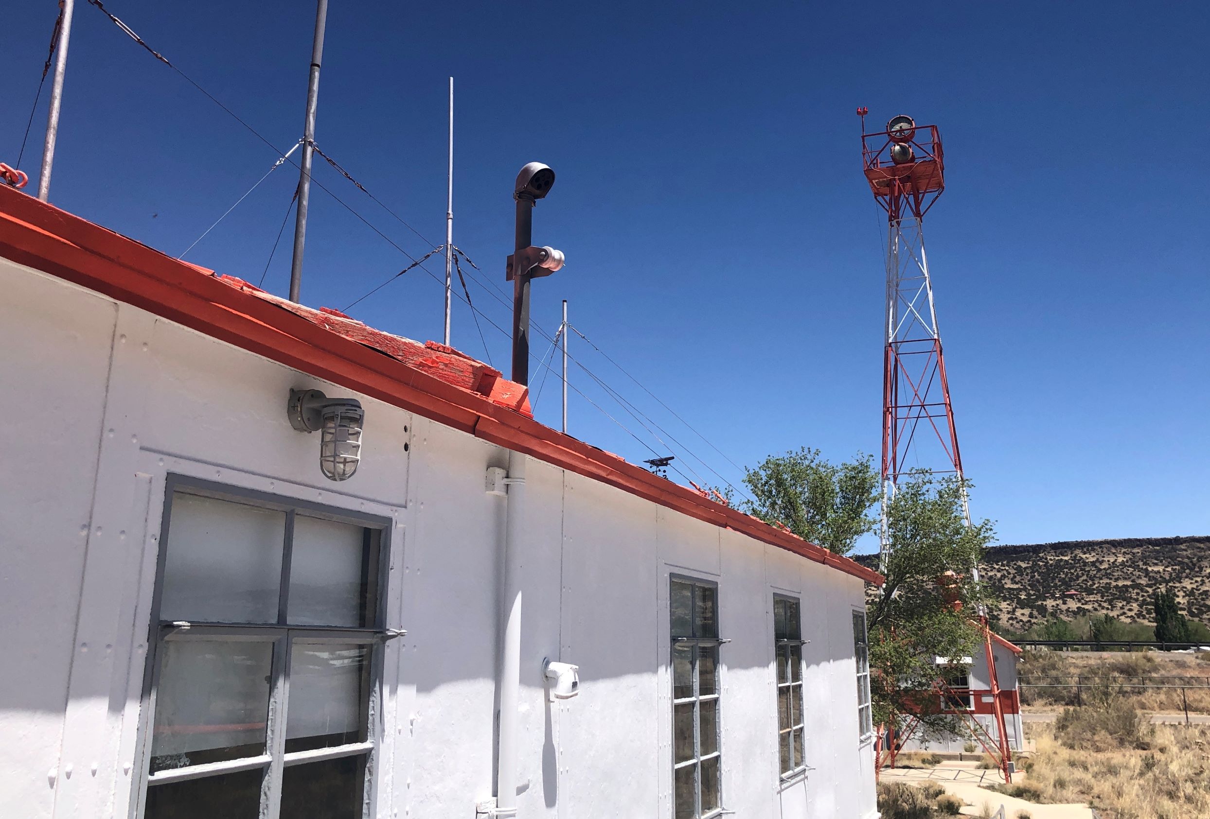
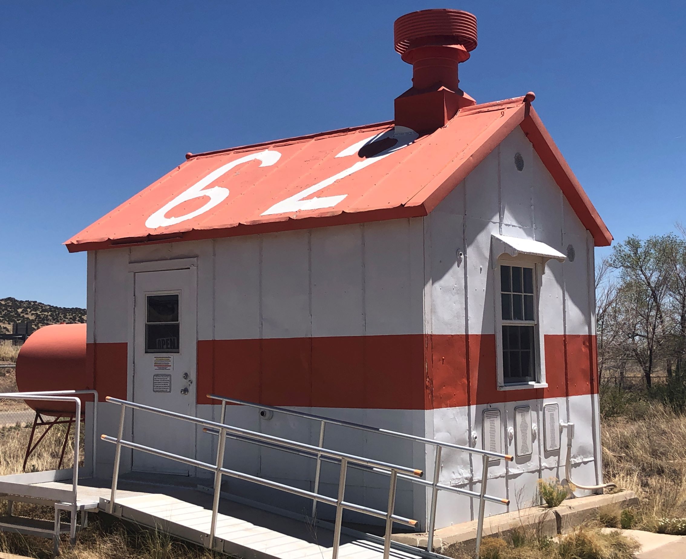
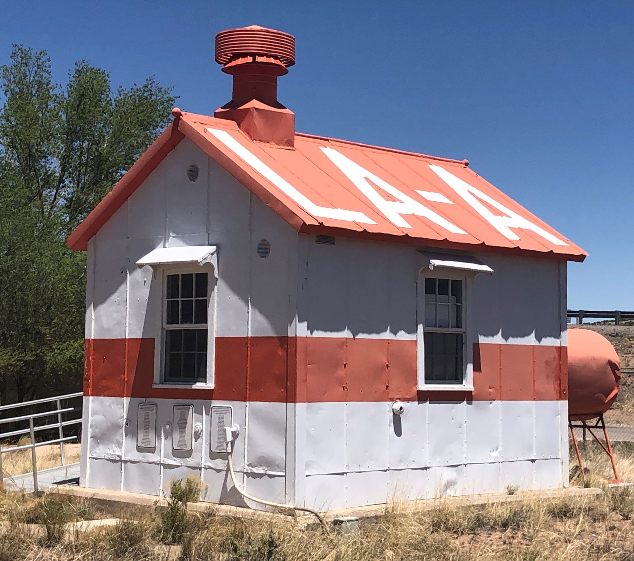
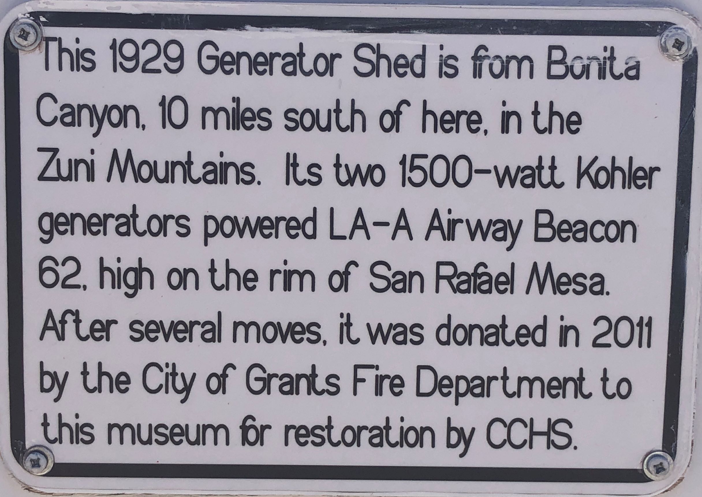
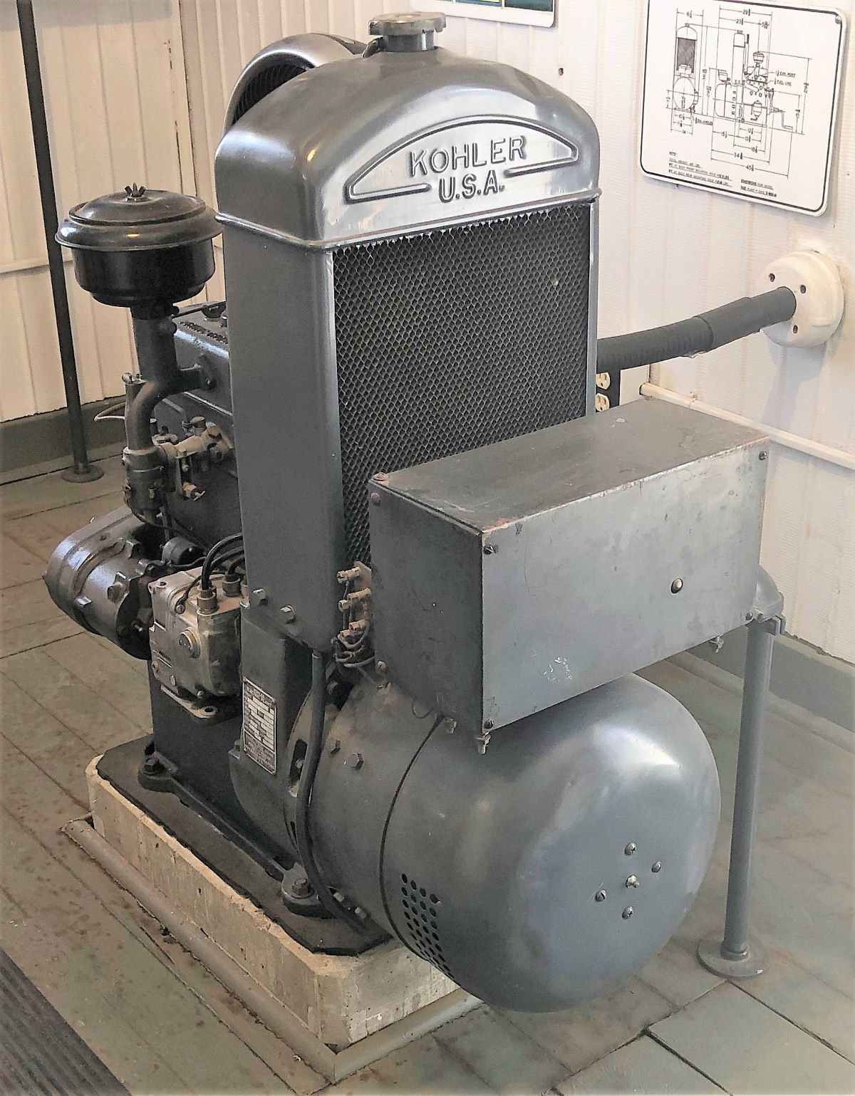
This generator building was moved here and renumbered to “62” – there were beacons every 10-15 miles along the route from Amarillo to Los Angeles. 62 indicated it was 620 miles to LA. A transcontinental route (TAT) was designed by Charles Lindberg in 1929 – the LA-A Airway was a section of that route – following roads and railways across the country. The beacons allowed for flying at night in the early days of aviation.
The Airway route could be followed by arrows during the day and by beacons at night – kind of reminded us of how God led the Israelites thru the desert – “By day the Lord went ahead of them in a pillar of cloud to guide them on their way and by night in a pillar of fire to give them light, so that they could travel by day or night. Neither the pillar of cloud by day nor the pillar of fire by night left its place in front of the people,” (Exodus 13:21-22).
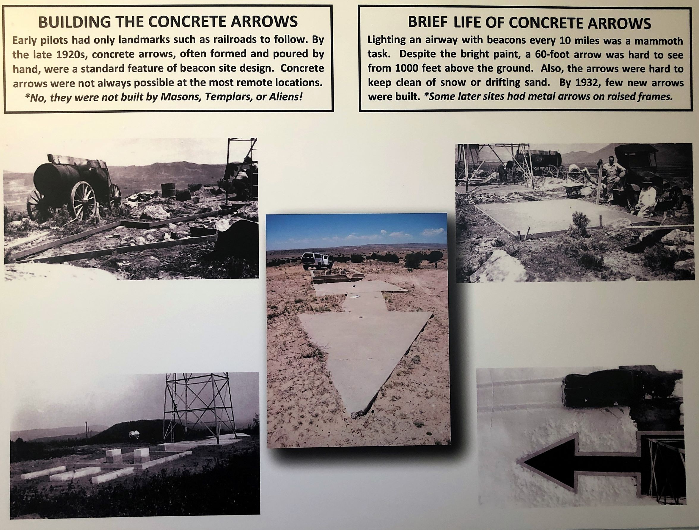
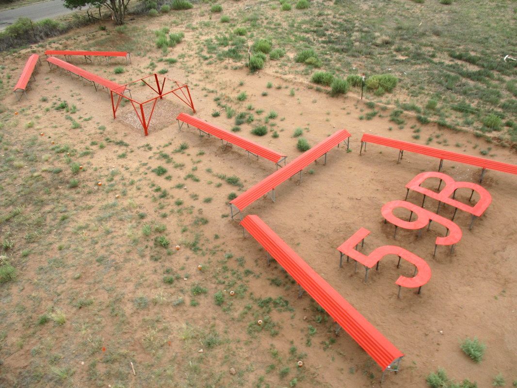
In case you can’t read above, the 60′ concrete arrows were hard to see from 1,000′ above ground and could be covered by sand or snow. There was an example of a concrete arrow – and also a raised metal arrow here.
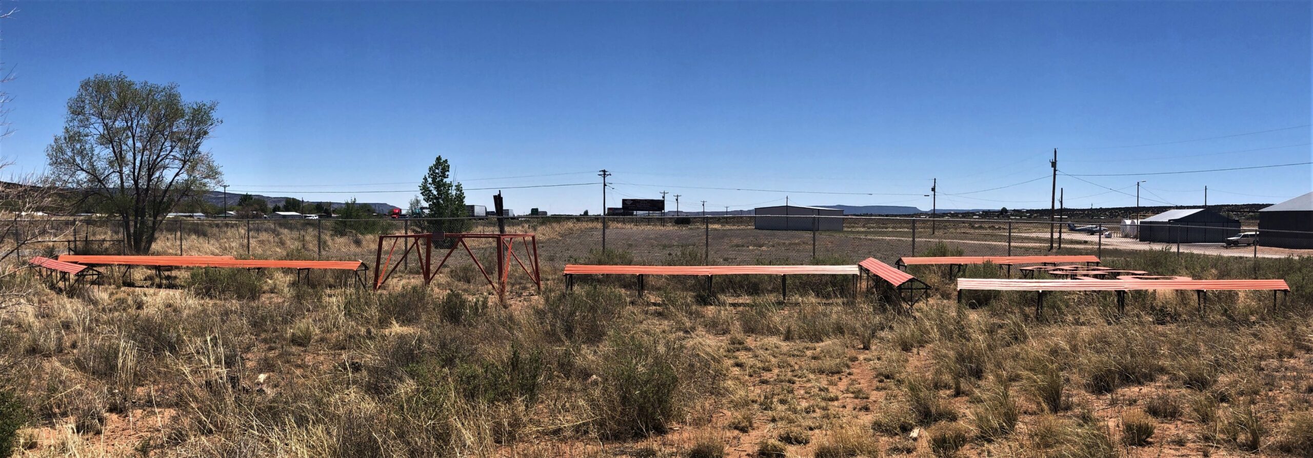
an aerial view – from their website
Learn more about this aviation museum here!
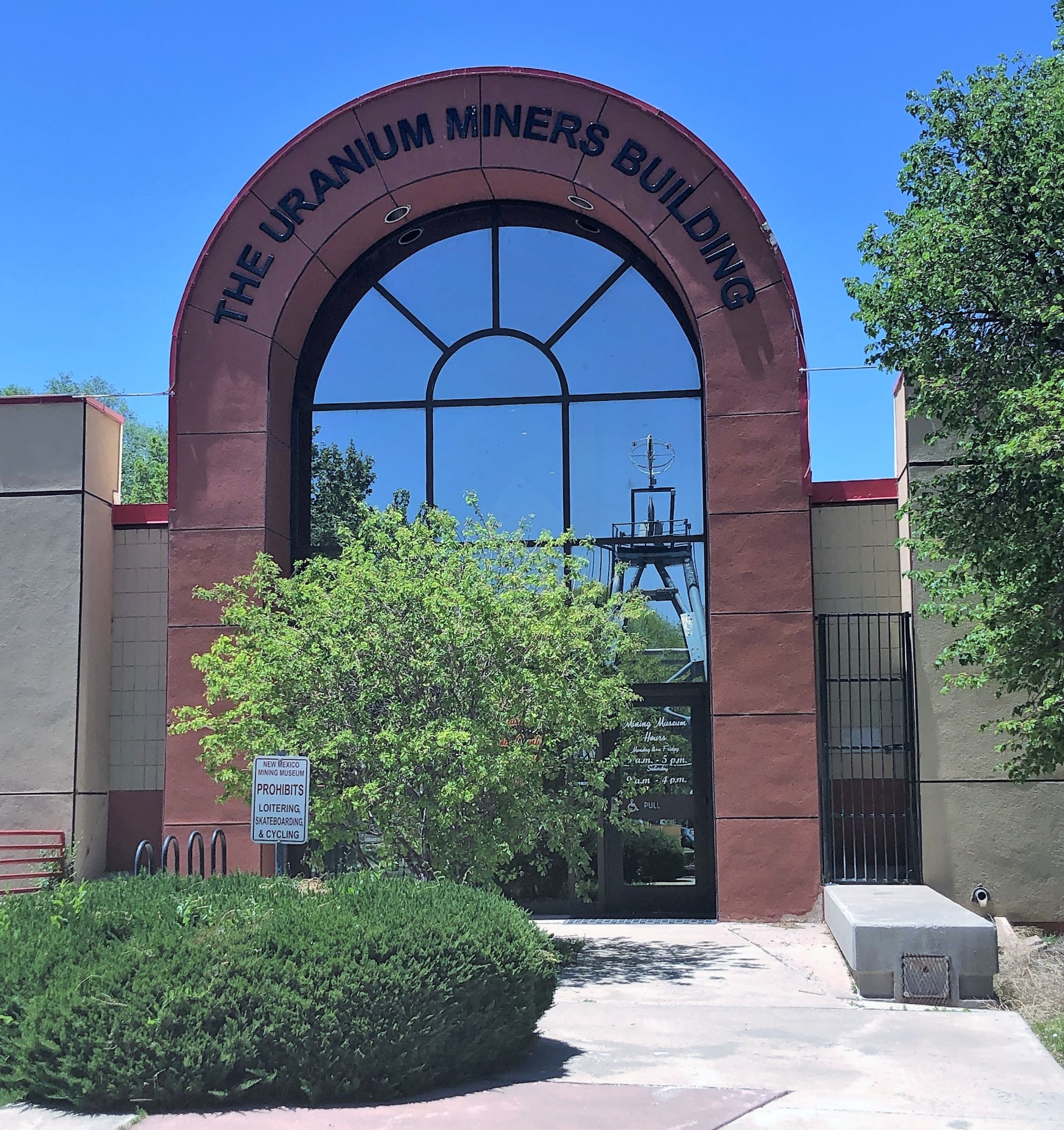
We had seen the New Mexico Mining Museum was nearby and closed at 4, so, we found ourselves to be on route 66 again!
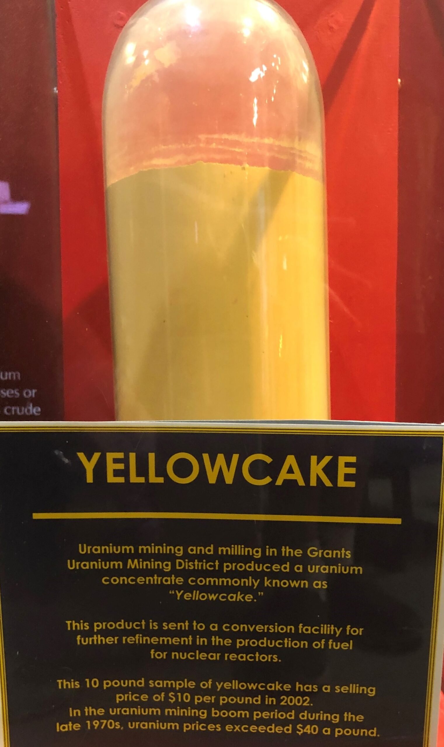
The New Mexico Mining Museum has a simulated Uranium mine in their basement. The Southwest area mined uranium in the 1950’s into the 1980’s – more than half of the Uranium Oxide produced in the United States came from New Mexico – and Grants was once known as the uranium capital of the world!
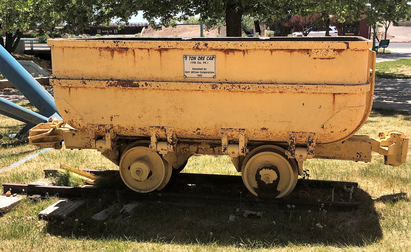
A headframe and ore car were on display outside of the museum.
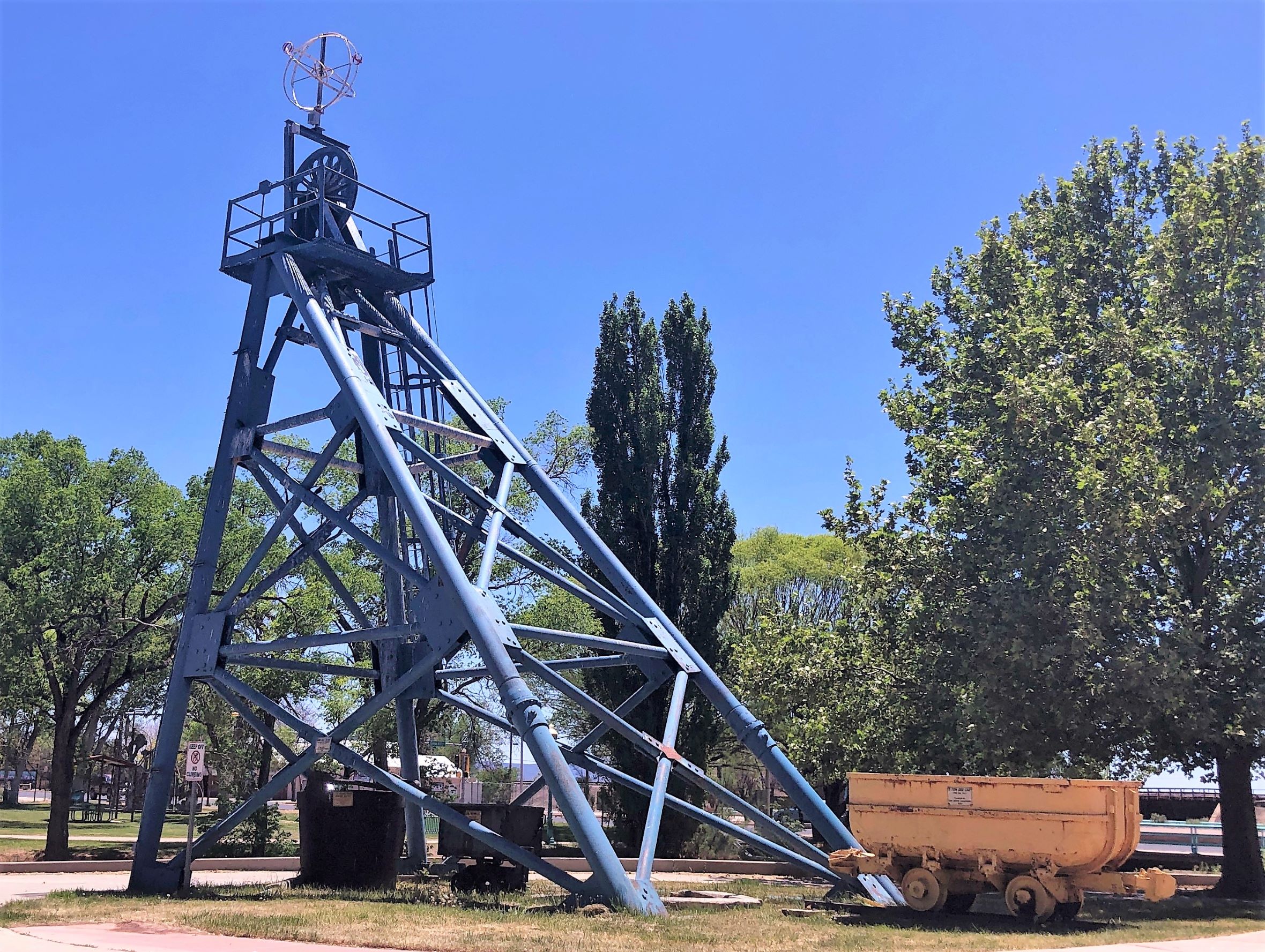
This car could hold 5 tons of ore!
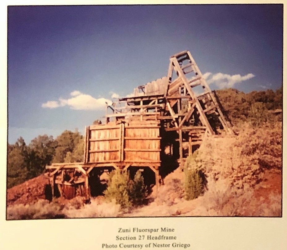
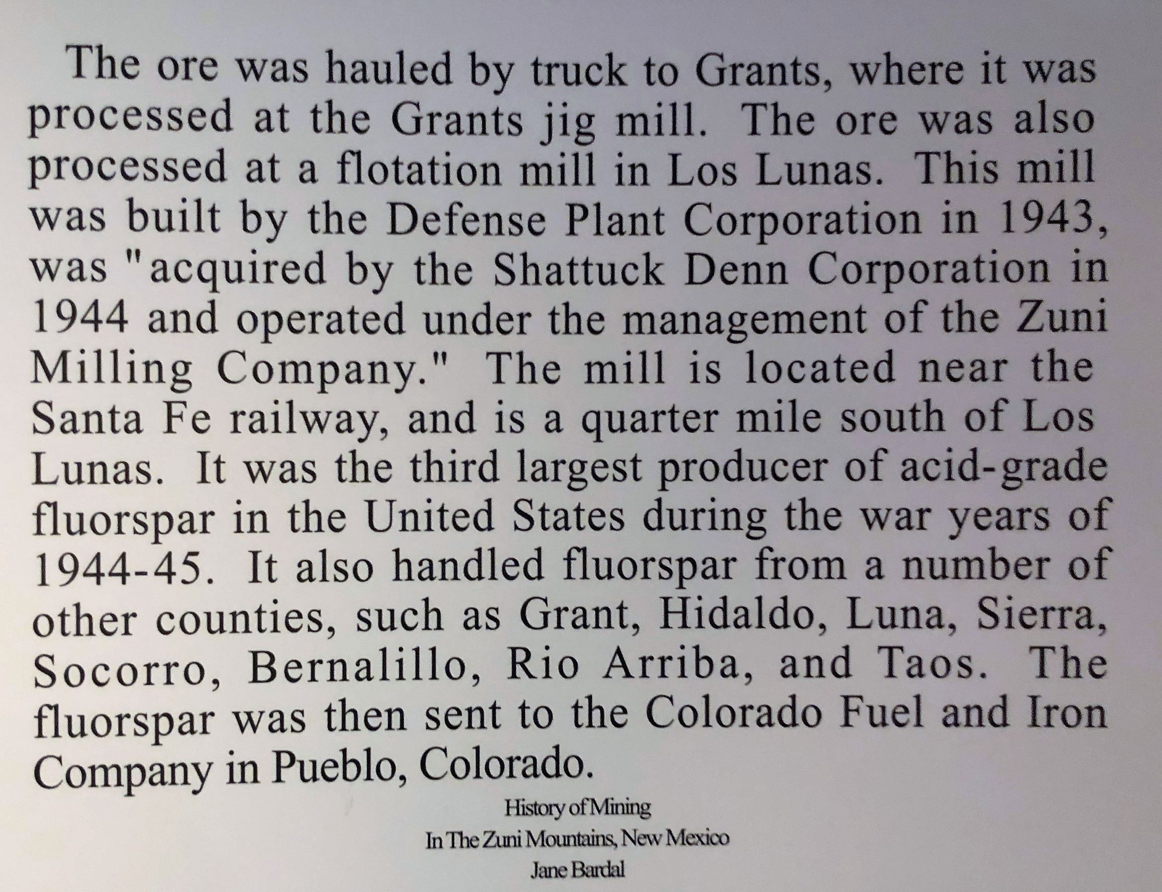
Fluorspar was first mined here in the 1940’s
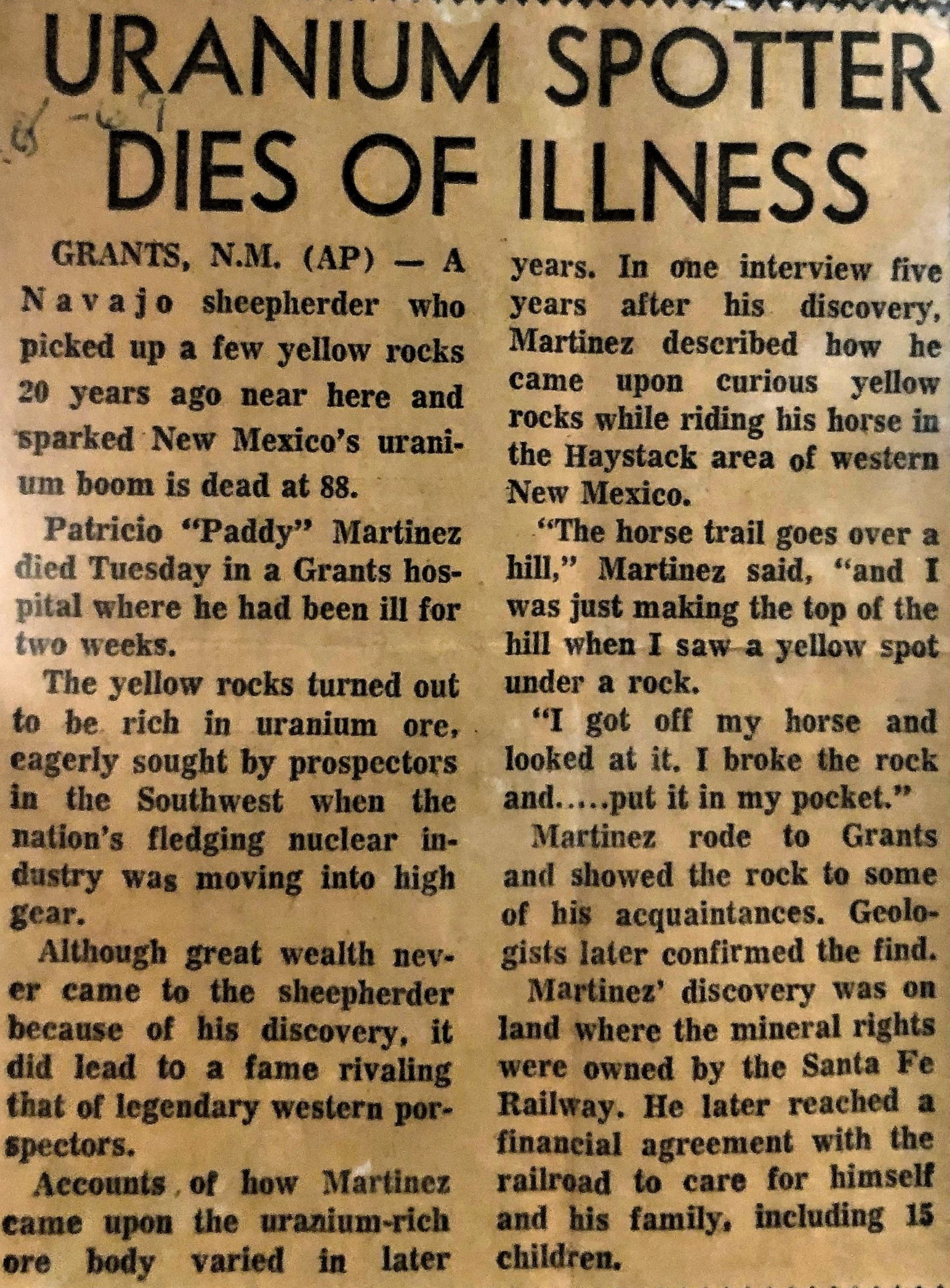
Uranium was discovered! Patricio “Paddy” Martinez discovered uranium in 1950 and it was perhaps the cause of his death in August 1969.
Uranium was open- pit mined in some places
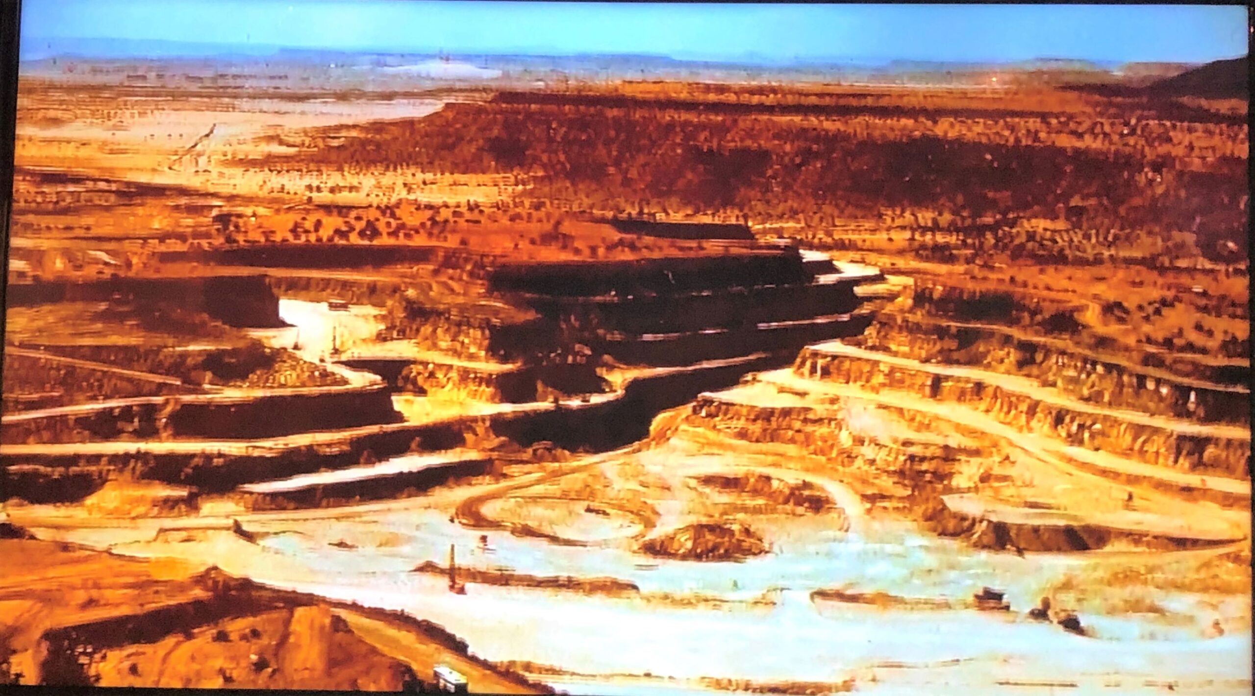
Underground mines were more prevalent, and the museum had a remarkable display in their basement to show how things were done to mine the uranium in an underground mine. A milling process is used to separate the uranium from the ore that is mined.
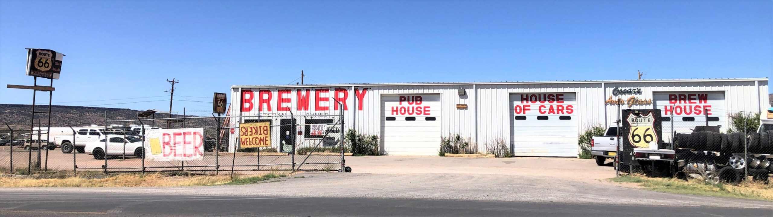
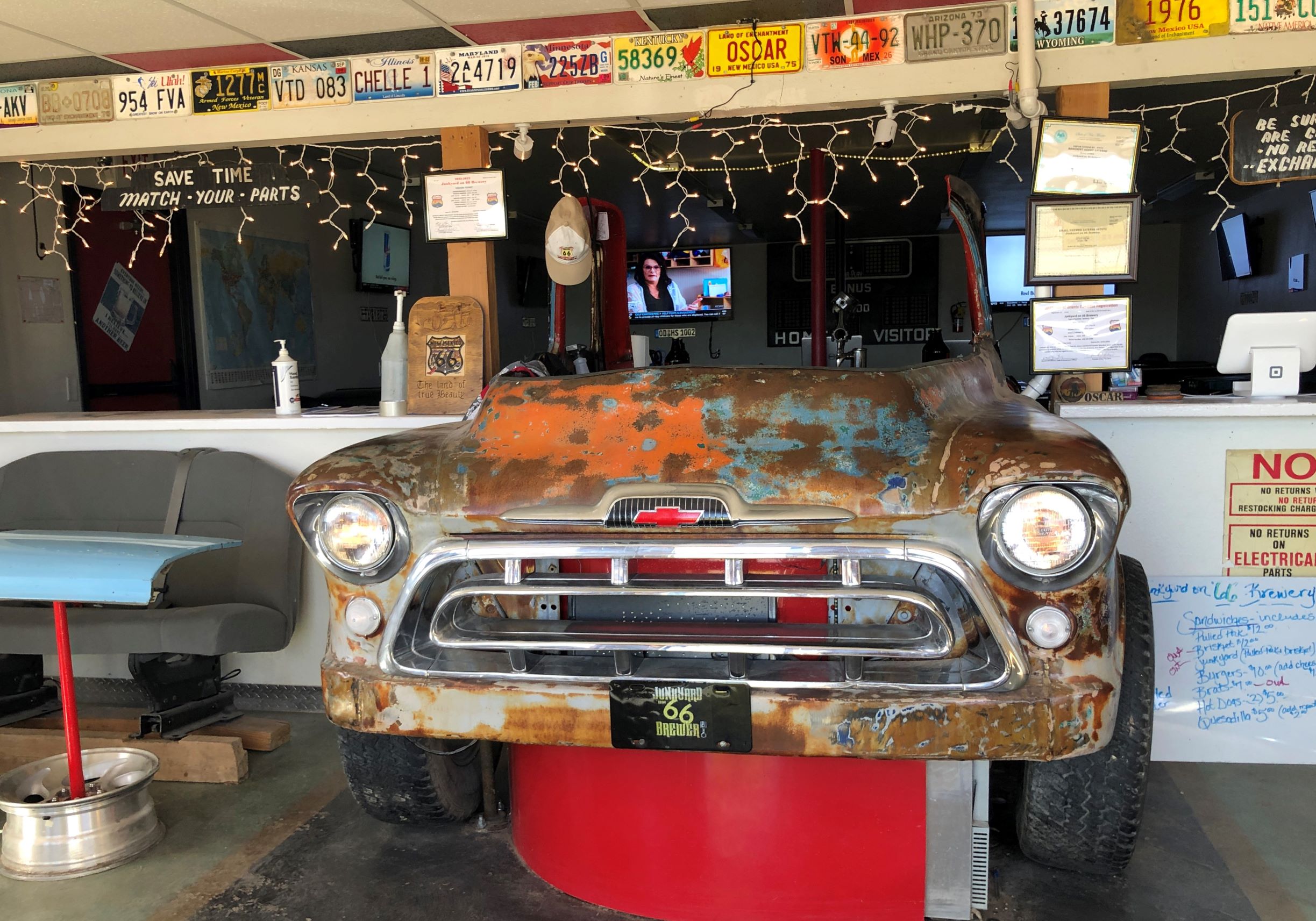
Interesting stuff! Afterwards, we went back to Acey for “linner”; an early dinner since we skipped lunch! Then we visited the Route 66 Junkyard Brewery – our host for the night. The place is an active junkyard as well as a brewery! Just inside the door, an old Chevy pickup truck was part of the bar!
The tables were fashioned from car doors and hoods, some car seats were also used!
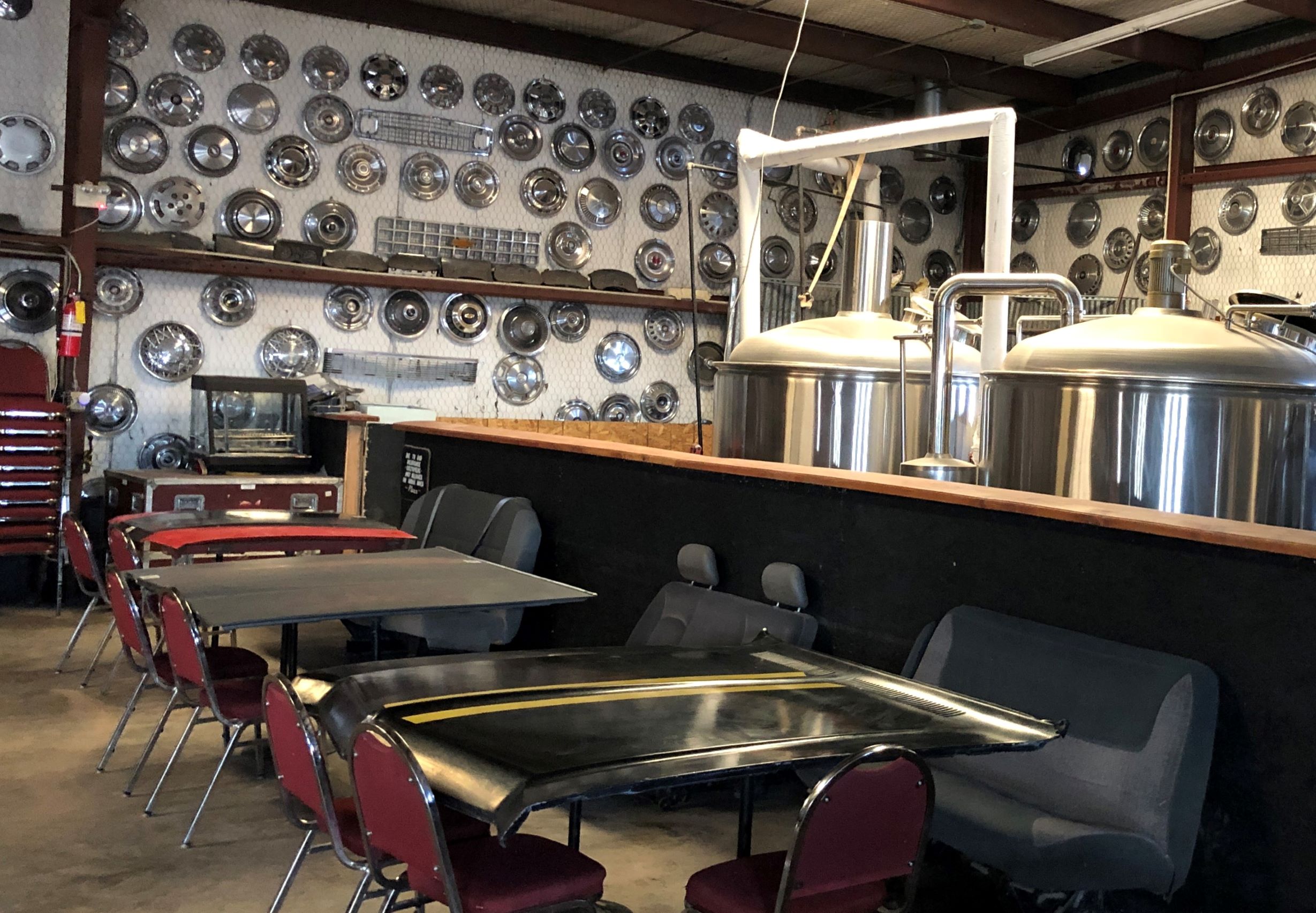
Part of the taproom was a “house of cars”!
Definitely a one-of-a-kind place, and we enjoyed the beer too! Tomorrow we are off to Arizona for 3 nights and on to Nevada and Utah!
![]()
You found some real gems out there in the high desert. That brewery was a hoot, and I shudder to think of how the early pilots found those arrows 10 miles apart. I wonder how many of them they could see at a time, flying at 1,000 feet? Mr Science says: « The formula for determining how many miles an individual can see at higher levels is the square root of his altitude times 1.225. Thus on a clear day at 1,000 feet a person with normal vision can see 39 miles. » Thank you for sharing your journey.
…and if it was NOT clear what did the pilot do in those early days?! A Ford Trimotor crashed on Mt Taylor near Grants back in September 1929, killing all 8 on board the “City of San Francisco”. It was stormy that day. Thankfully, there have been lots of improvements in air safety since then!