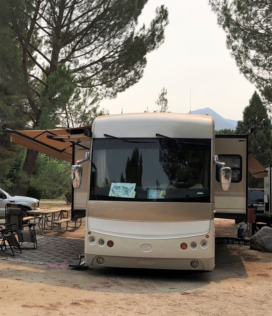
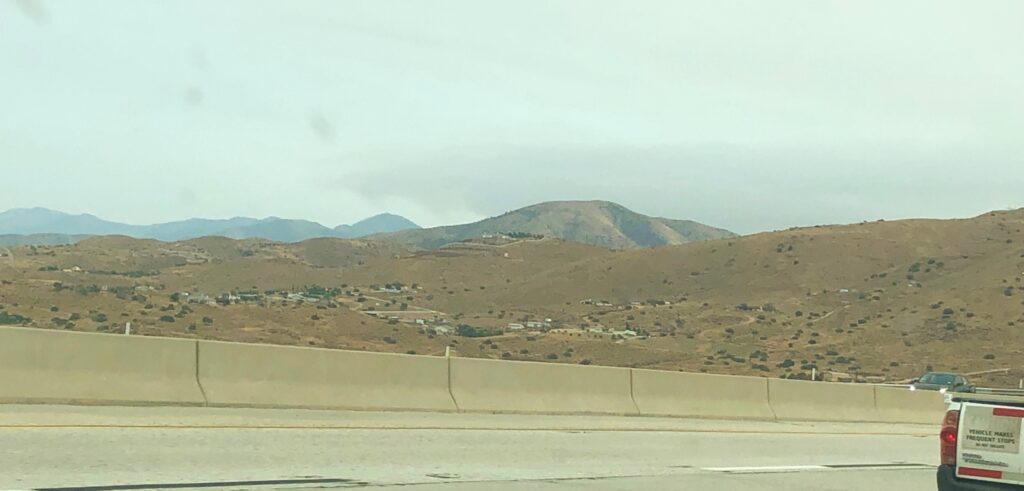
We left the T T Morgan Hill RV Park on Tuesday, September 8 at 9am. Acey’s mileage 66,188.1 and Thor has 71,908 miles. It was a good day to drive through the mountains – we had quite a tail wind as we drove and the computer was showing 12mpg for a few hundred miles! Generally, our average mpg is only 7… We arrived at Soledad Canyon at 4:30. Our elevation here is 2561 feet – so we may be a bit cooler here than nearby LAX (50 miles away) We have FULL HOOKUPS here (with 50 Amps) and even a bit of shade in the afternoon. We will be here for 2 weeks.
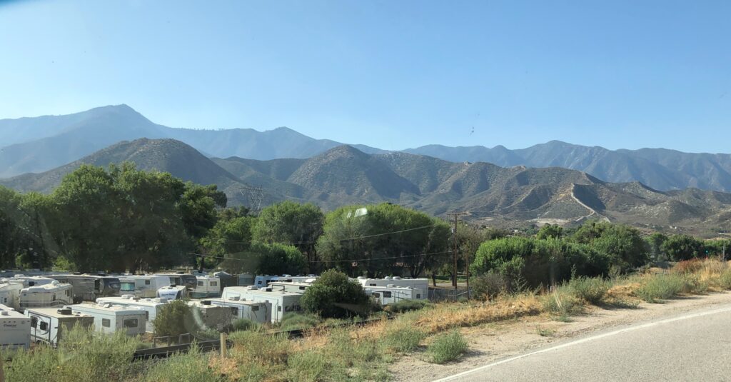
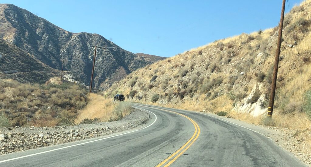
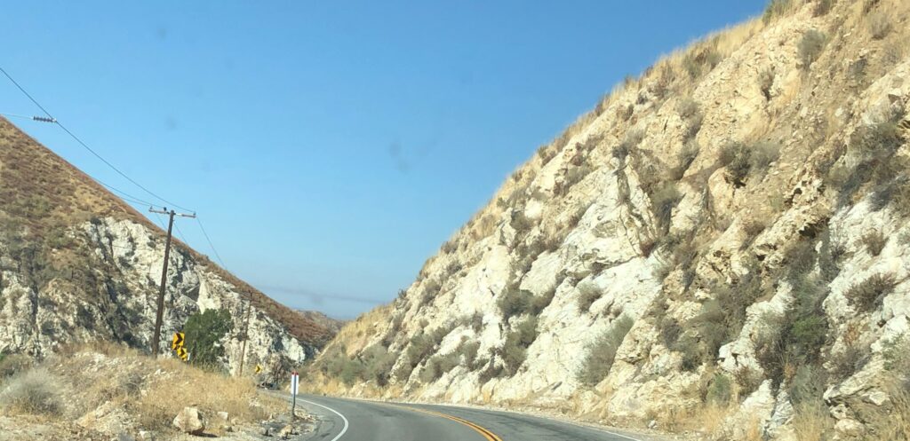
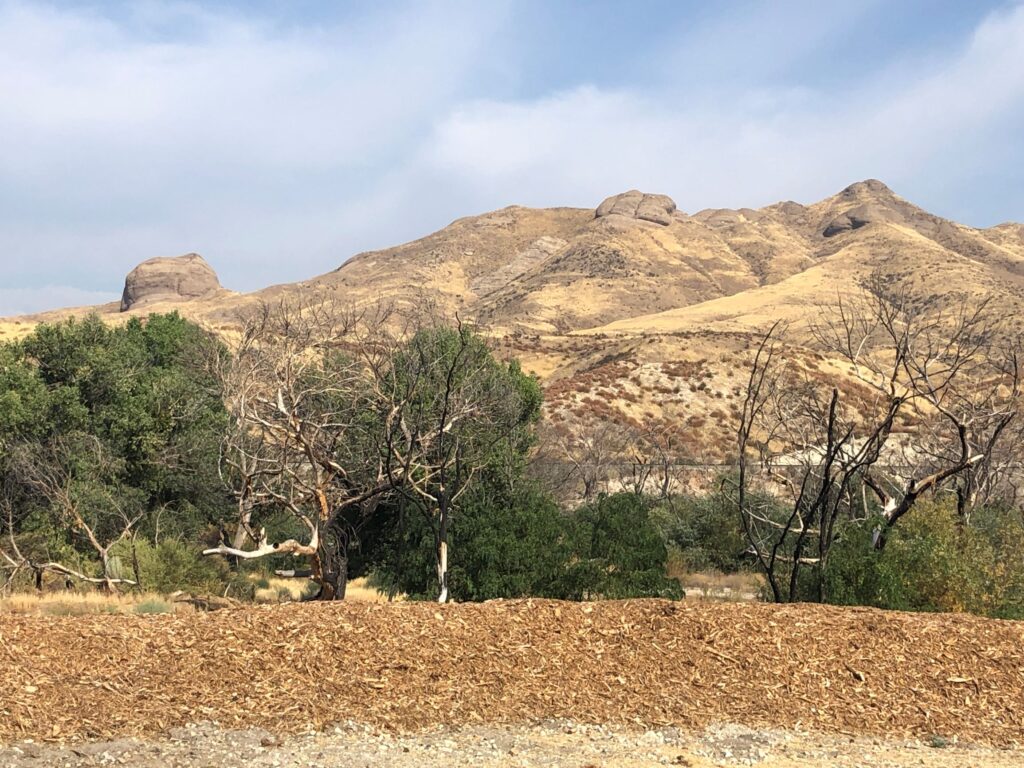
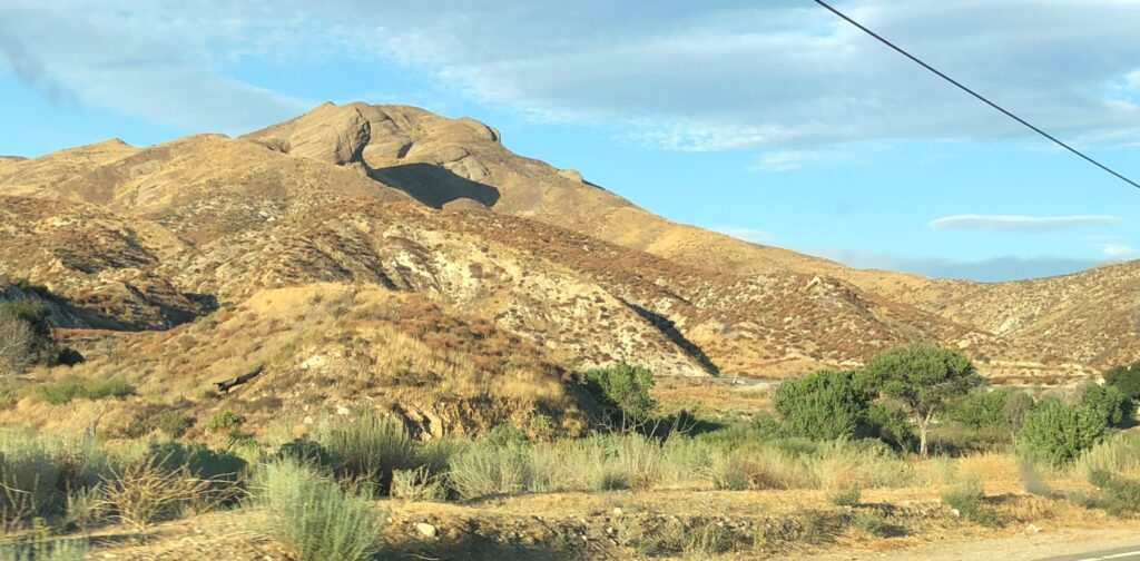
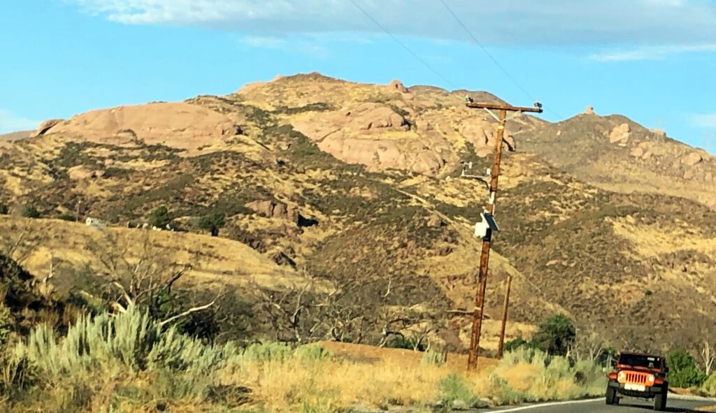
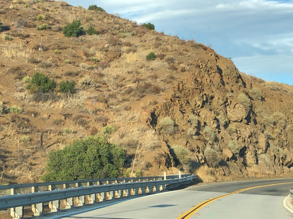
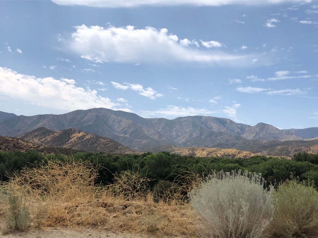
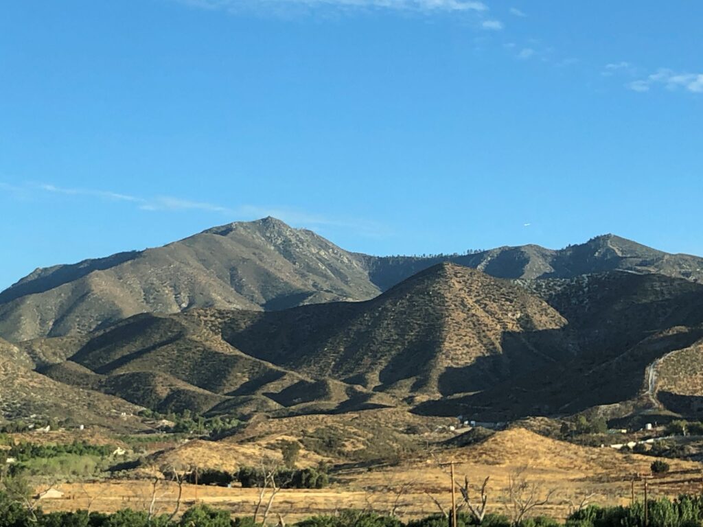
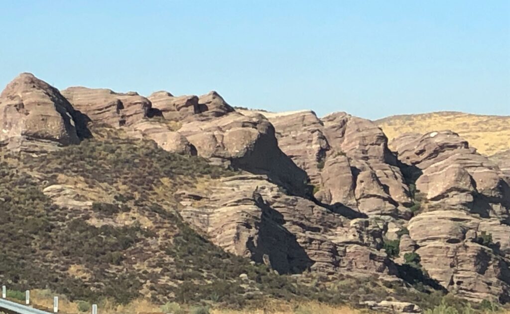
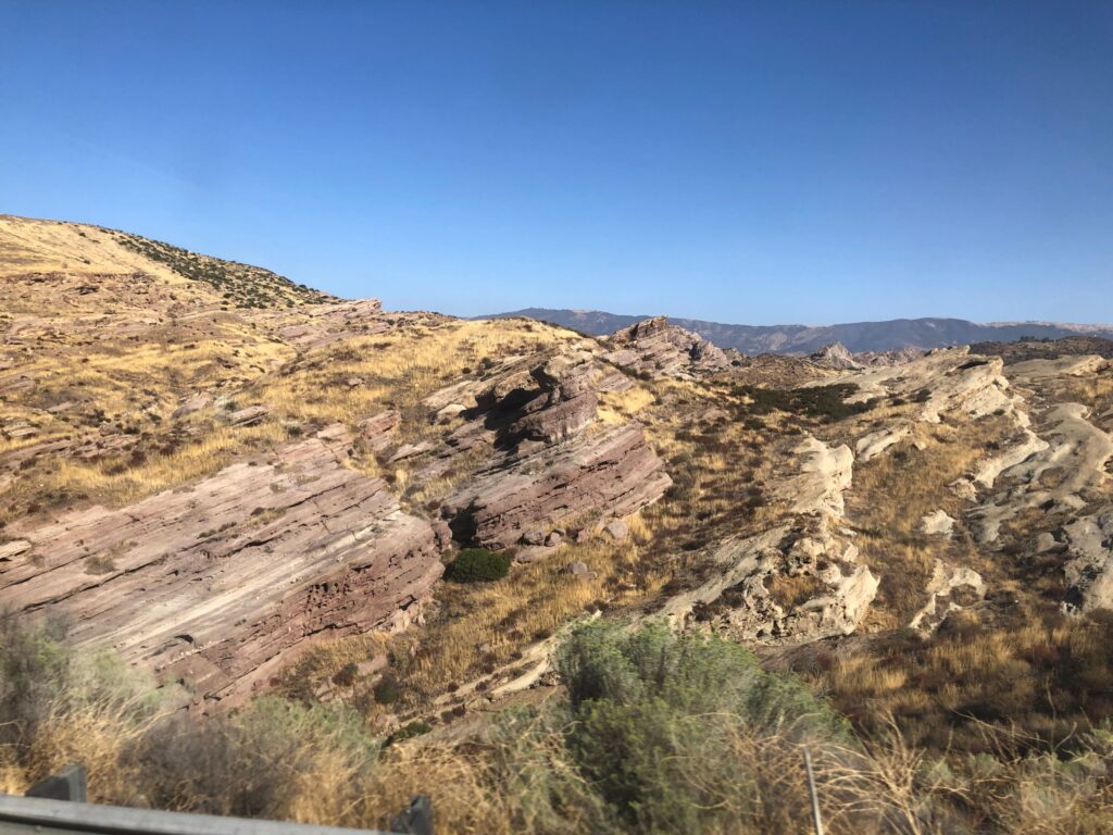
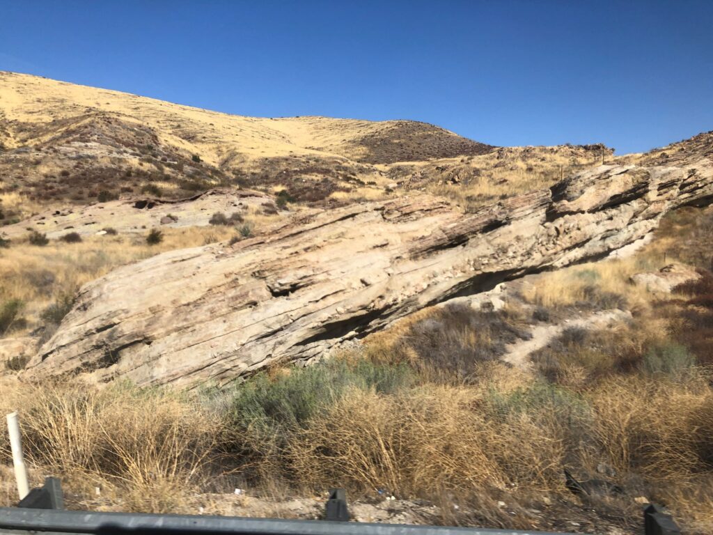
This area is called Canyon Country. Some of the landscape reminds us of the opening scenes from M*A*S*H – which is of course set in Korea, but the outdoor scenes were shot in California.
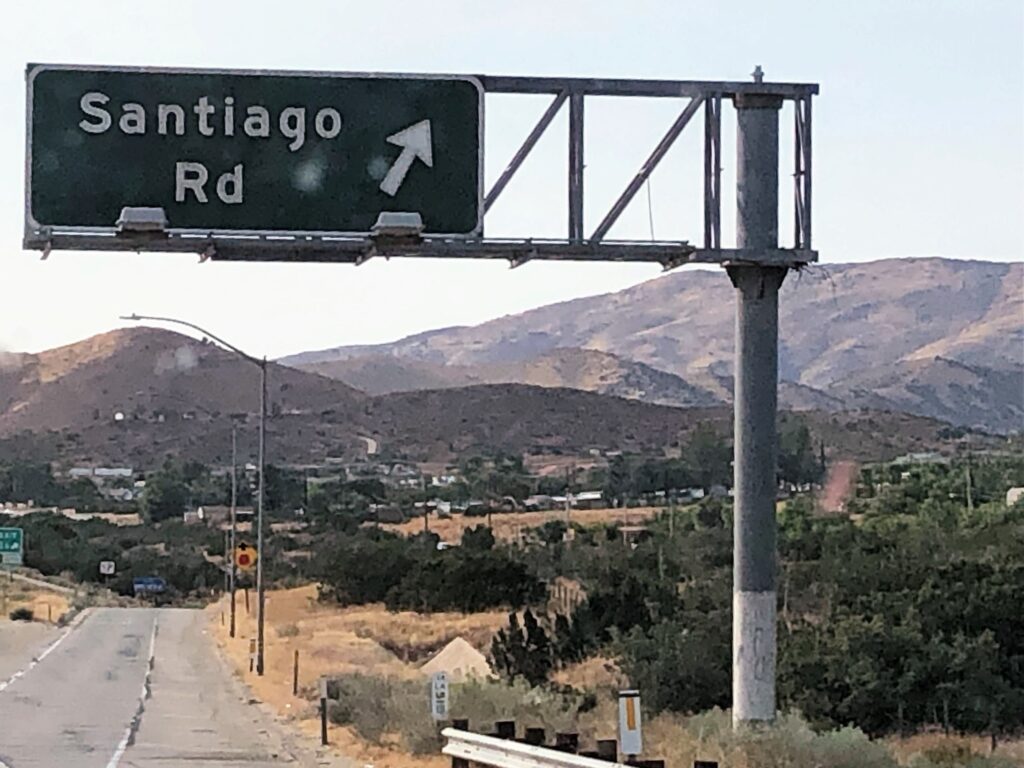
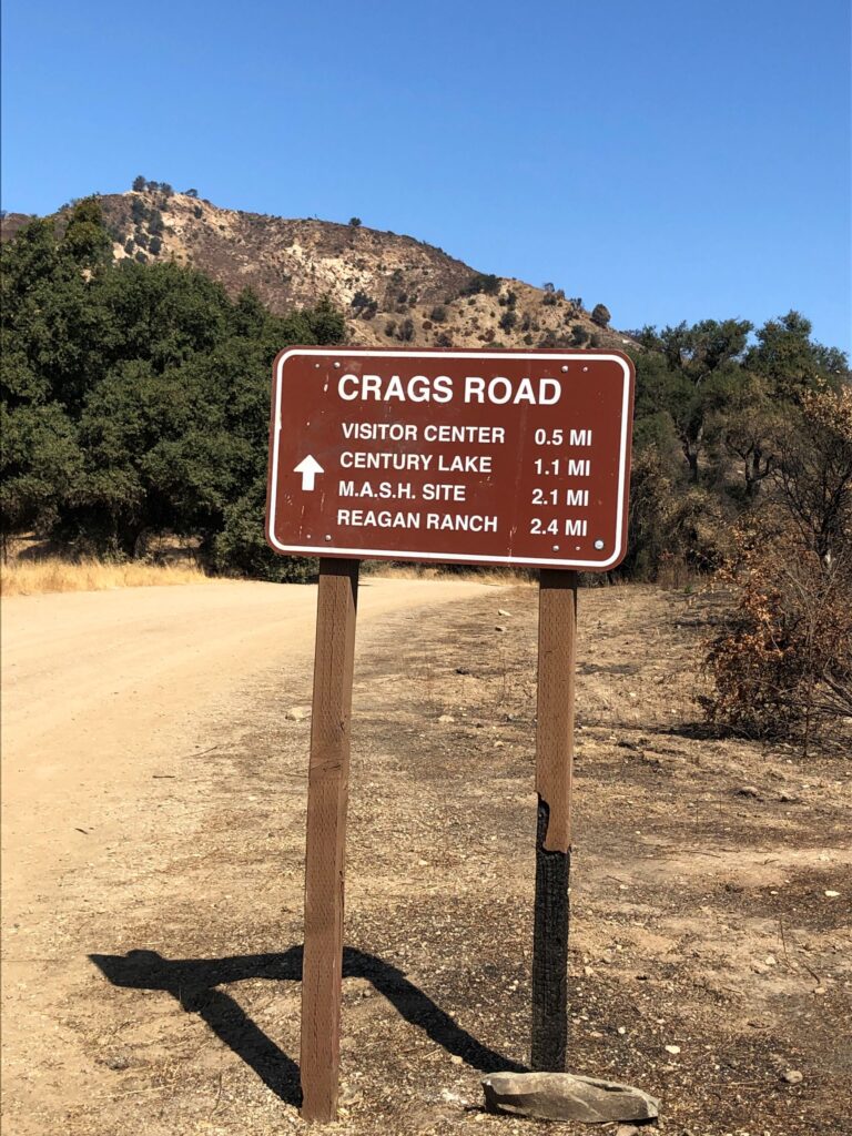
Santiago Road is our exit off Route 14 to go to the RV park; I had to get a picture of this sign for my sister and niece!
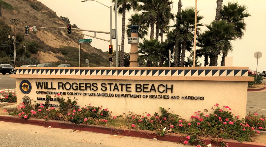
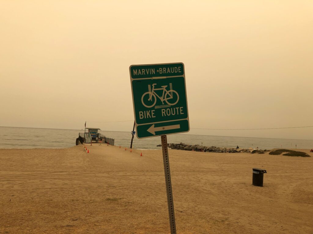
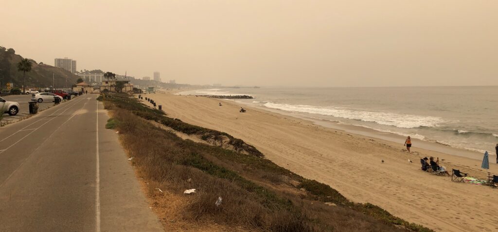
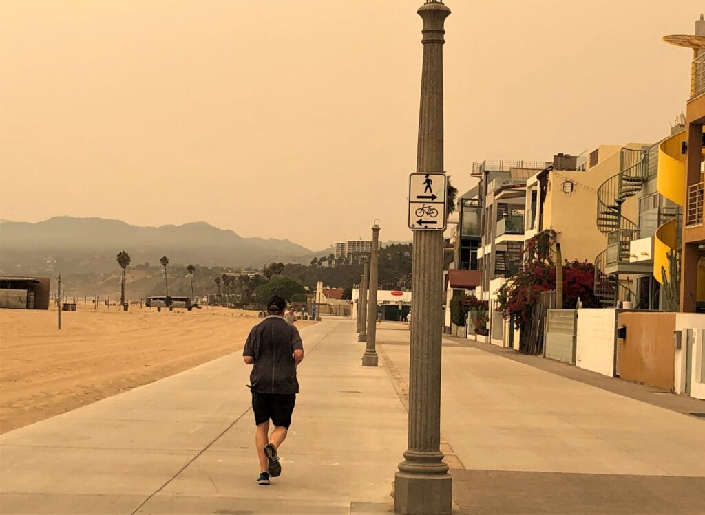
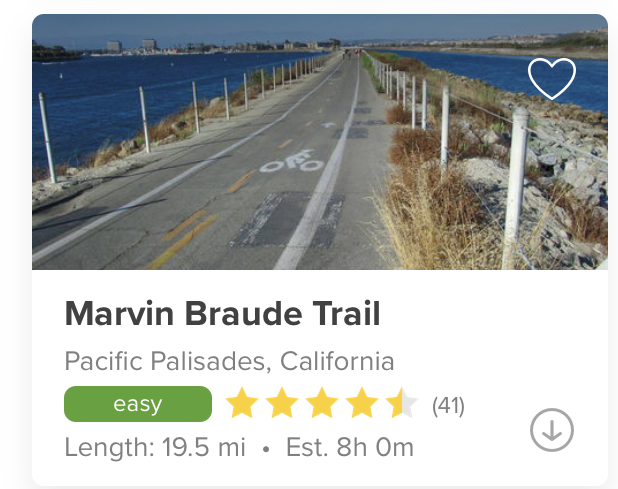
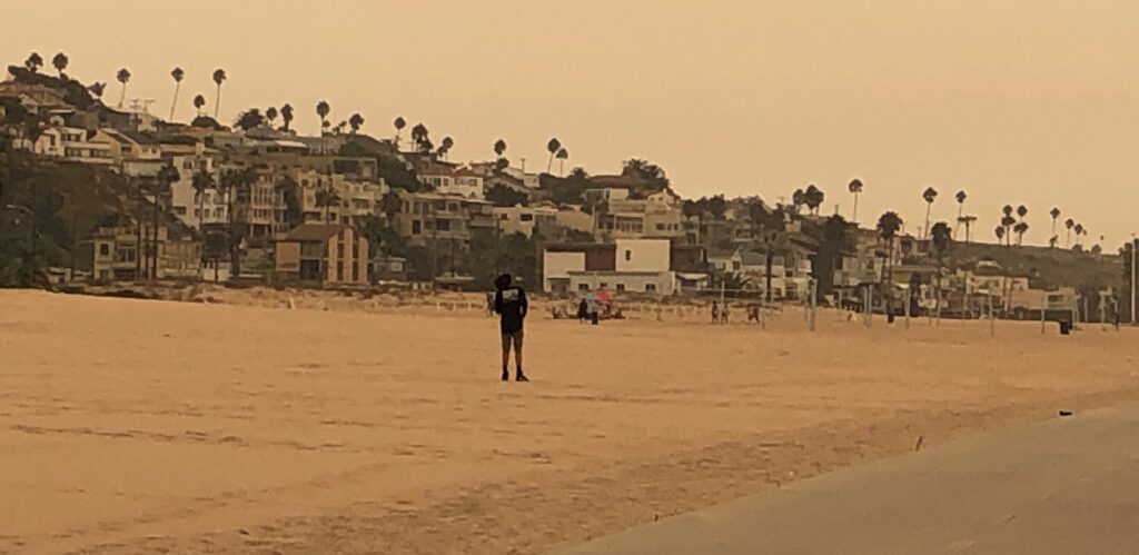
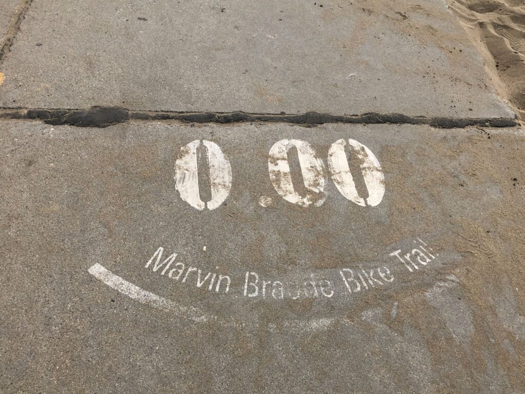
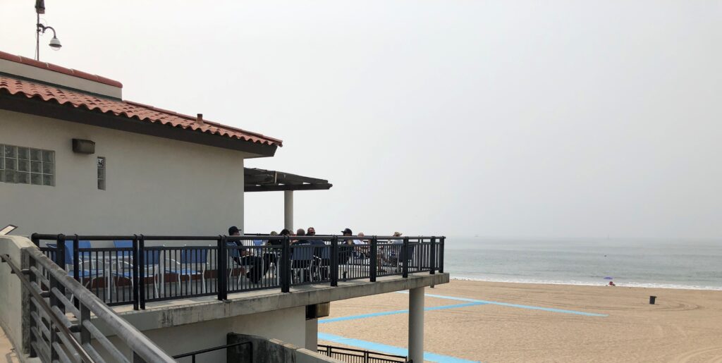
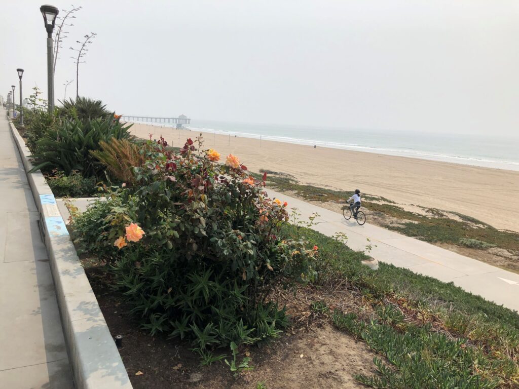
Thursday we drove to Santa Monica to ride on the Marvin Braude Bike path that runs along the beach. The northern trailhead is at the Will Rogers State Beach. These photos seem nearly colorless with the sky being so hazy from the many wildfires burning.
The air quality index was around 140 when we started out – it did not smell smoky, but it was very hazy. Temperature was right about 70 – a pleasant day to be out at the beach!
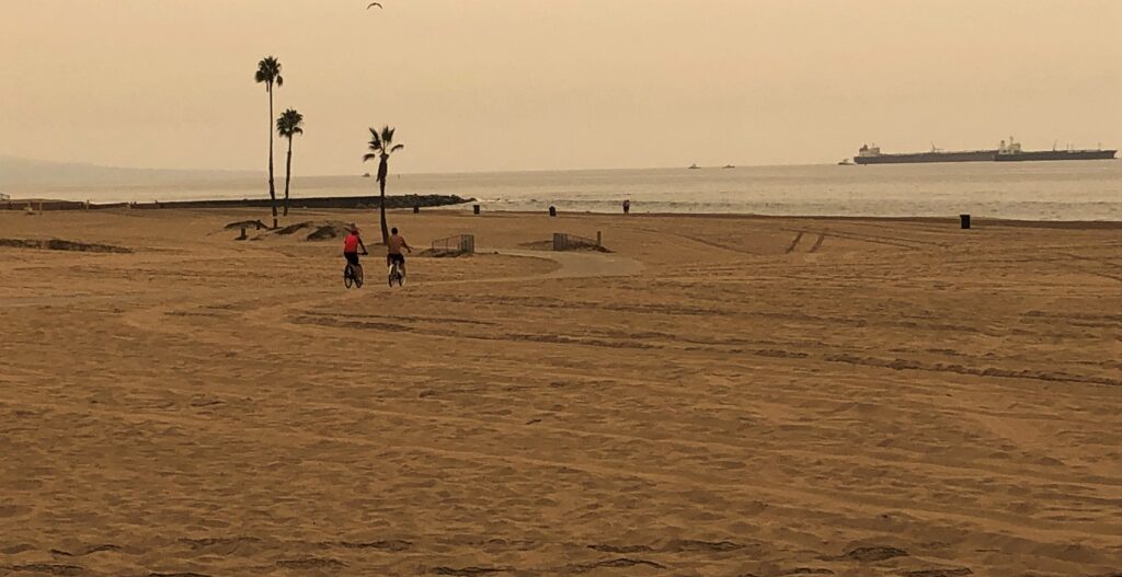
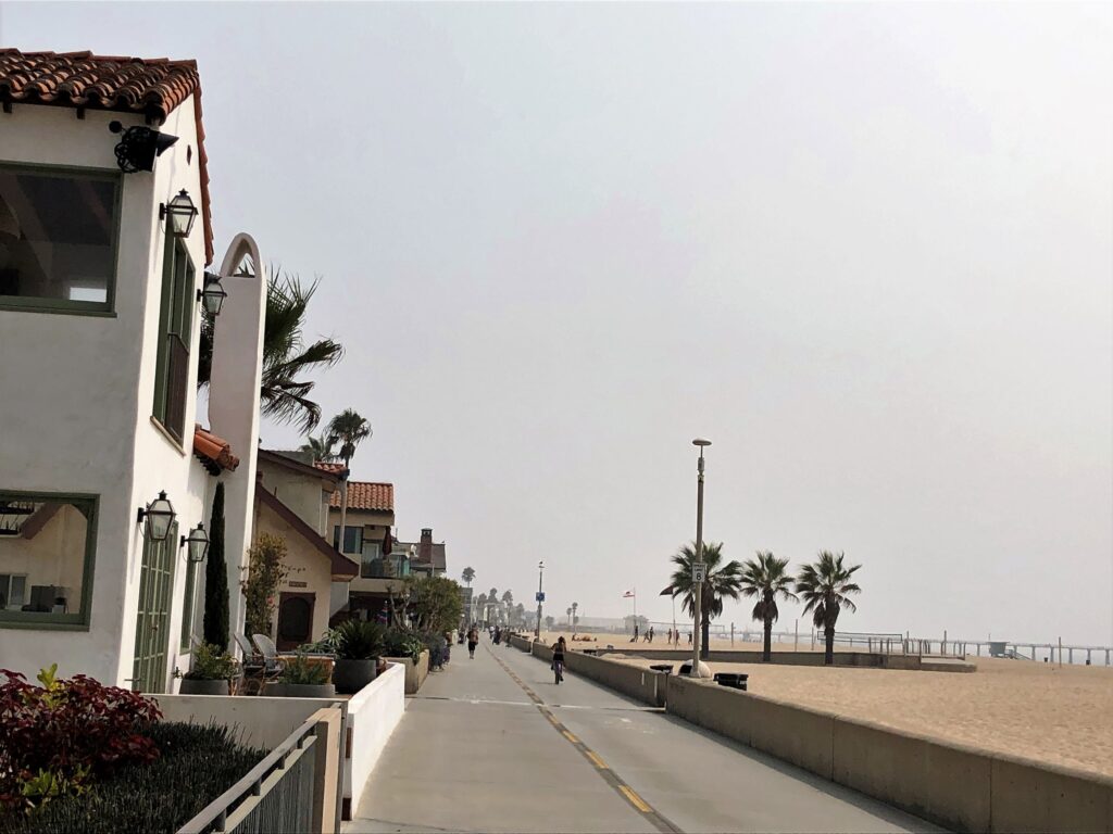
The path mostly runs along the beach.
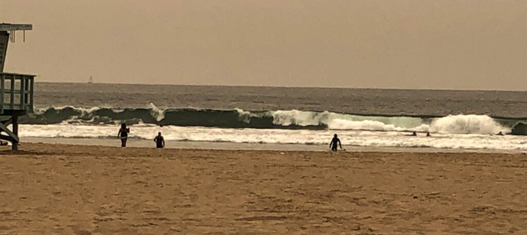
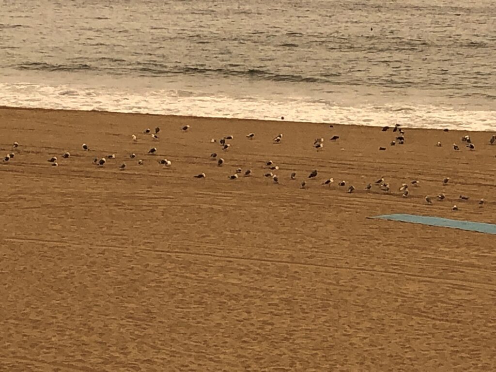
The ocean was awesome – and not many folks on Venice Beach. We were surprised by the many tents there along the land side of the trial – a huge homeless population live very close to the beach right by the bike path.
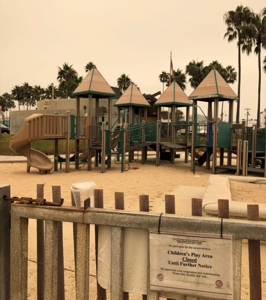
All of the playgrounds and most of the recreation areas along the path were closed – due to Covid restrictions. Just a sign of the times…
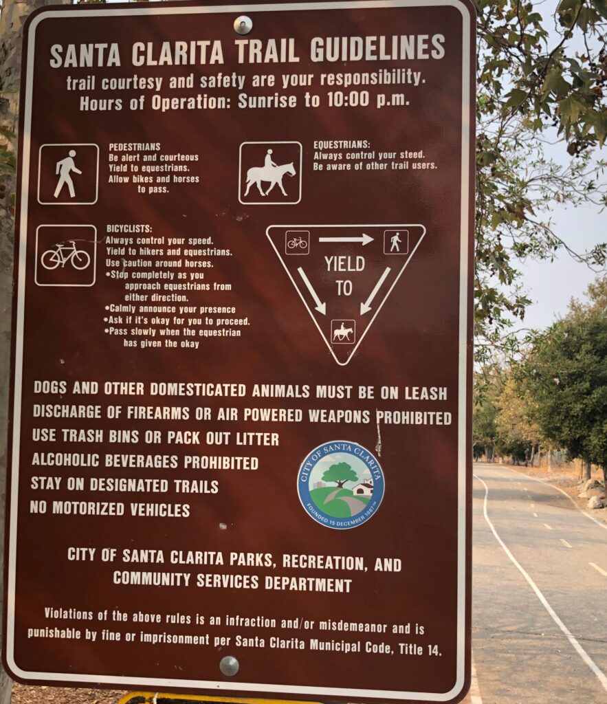
Speaking of signs, there were many signs along the way – and paint on the pavement indicating which lanes bikes should use and where walkers and joggers should go. Many folks pay no attention – and the “no motorized vehicles” signs apparently do not apply to motorized scooters or e-bikes… but fortunately there was not a whole lot of traffic on most of the path.
For the most part, the path was pretty flat. Jim is getting ahead of me here!
By the way, we use the AllTrails app to find the bike paths we ride on. (Notice the blue sky on the app’s photo)
We took a short loop away from the beach to ride around the marina
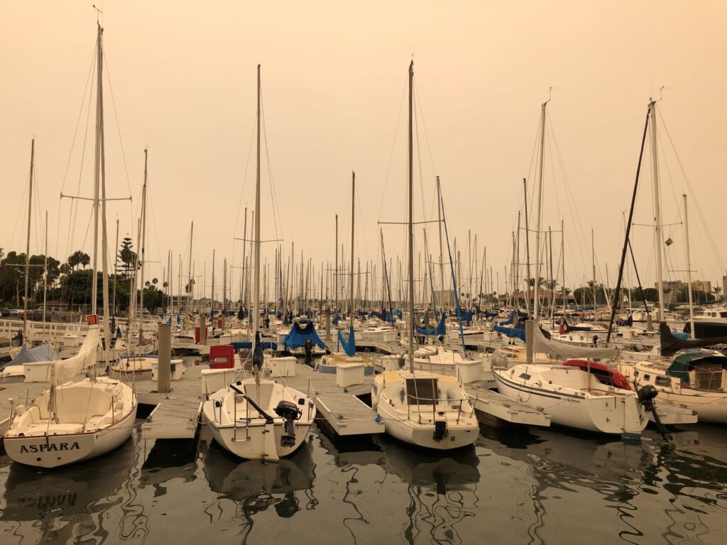
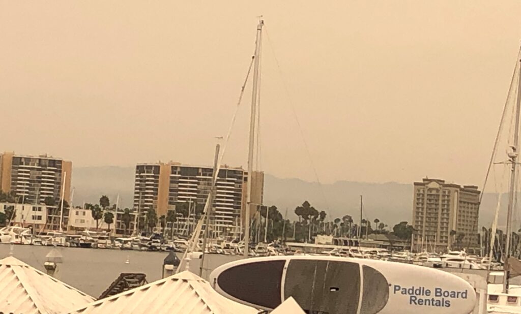
We rode past Marina Del Rey
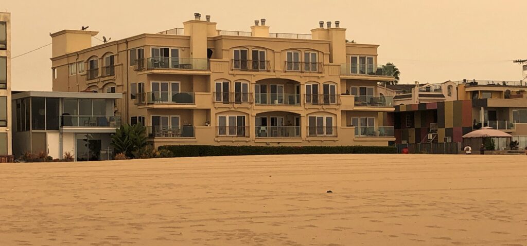
Some pretty impressive dwellings on the beach at Dockweiler.
The beach was very wide here and they threw a few curves into the path!
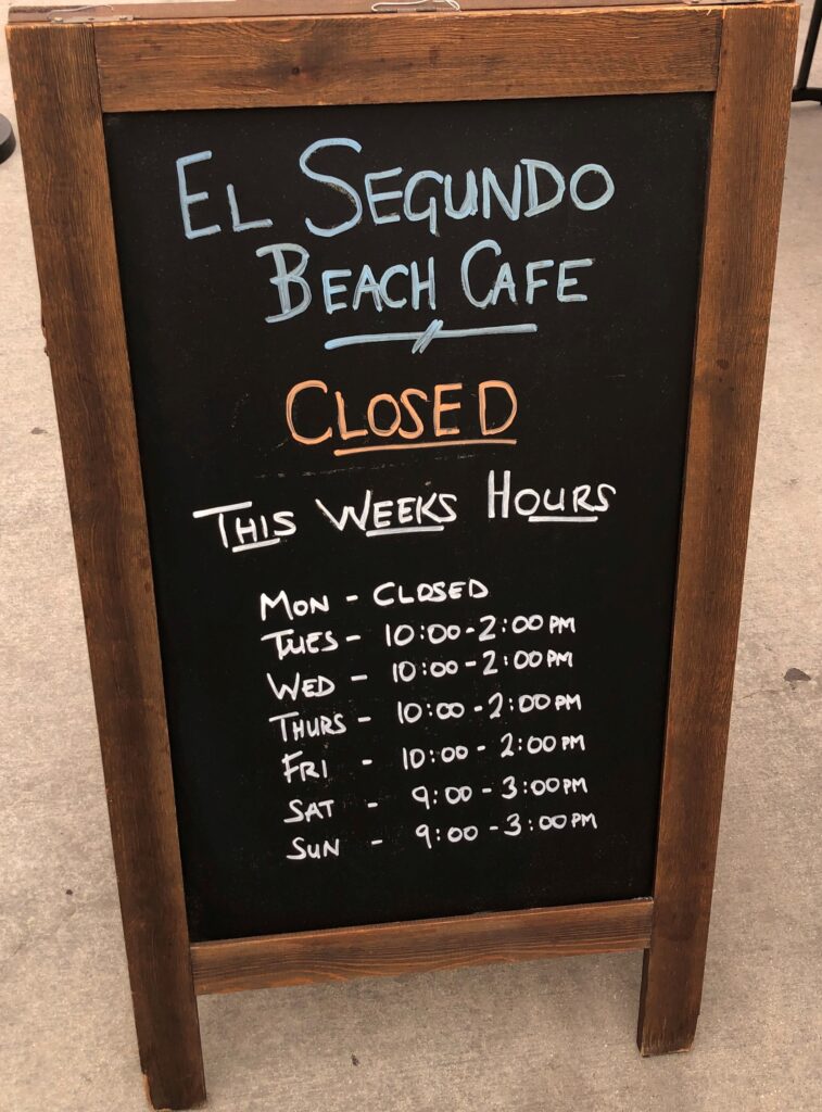
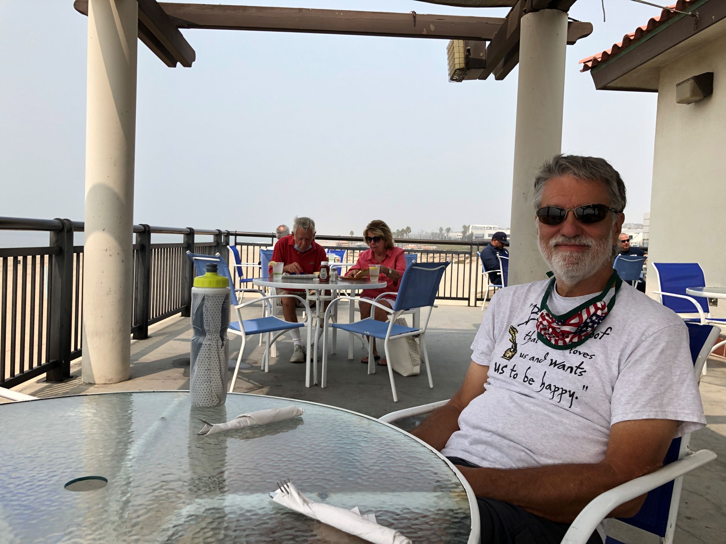
We had a late start – just about noon – we figured we could find a place to eat lunch; there were a few places open in Santa Monica, and some pricey eateries at Marina Del Rey. We hoped to find another place on the beach! Finally at Segundo beach, we found a café! Just a few folks were there eating and it smelled wonderful! It was 2:05 when we arrived.
Fortunately, they allowed us to be served as they cleaned up. We had a delicious lunch with a nice view – only seagulls enjoying the beach here! By the way, we passed the end of the runway at LAX; while eating lunch, we saw- and heard – several airplanes taking off. After lunch, we turned around to ride back to the north end of the trail.
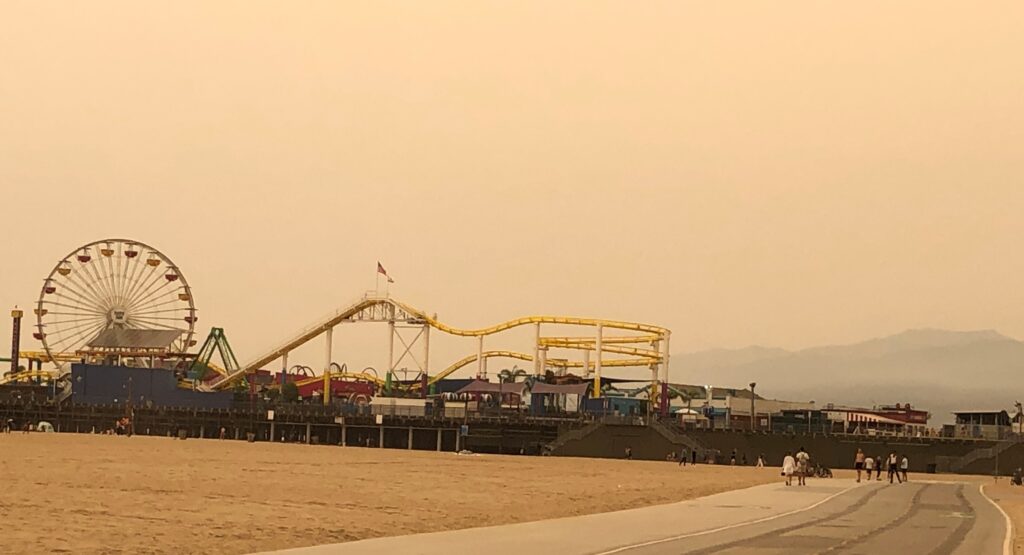
Riding back to the trailhead, we passed the Santa Monica pier again. Of course the amusement park was shut down,
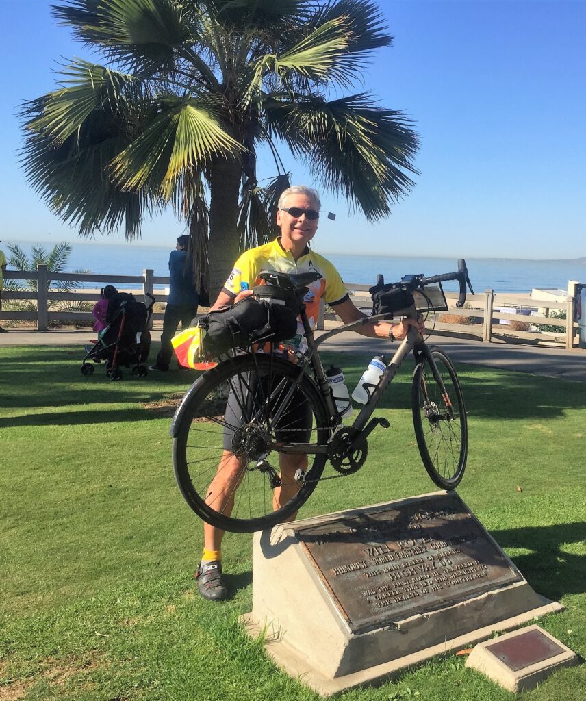
My brother Ted got his kicks – he bicycled the entire path of Route 66! That took him 7 weeks in the fall of 2016. His group started in Chicago and ended in Santa Monica near the pier. Here’s a photo Ted by the Will Rogers plaque after he finished that epic journey!
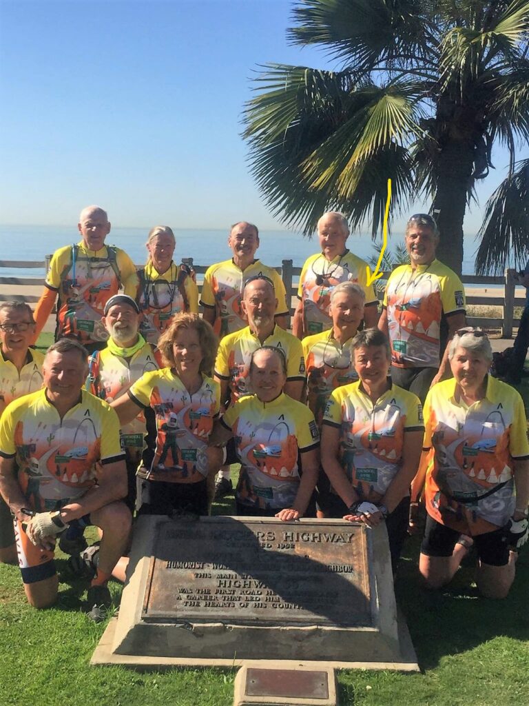
Ted and the group of other cyclists that made the journey on Route 66! Notice the BLUE SKY!
We logged 27 miles on our bikes today, our longest bike ride so far. (Nothing compared to Ted’s ride – but pretty good for us!) As I mentioned, the air quality at the beach was 140, not very good. If you use the Apple Maps app, you can see the AQI – Air Quality Index – in the lower right corner by the temperature.. We may come back next week and start at the south trailhead and maybe have lunch again at the same café!
Friday Sept 11 – a day to remember the many that died this day in 2001

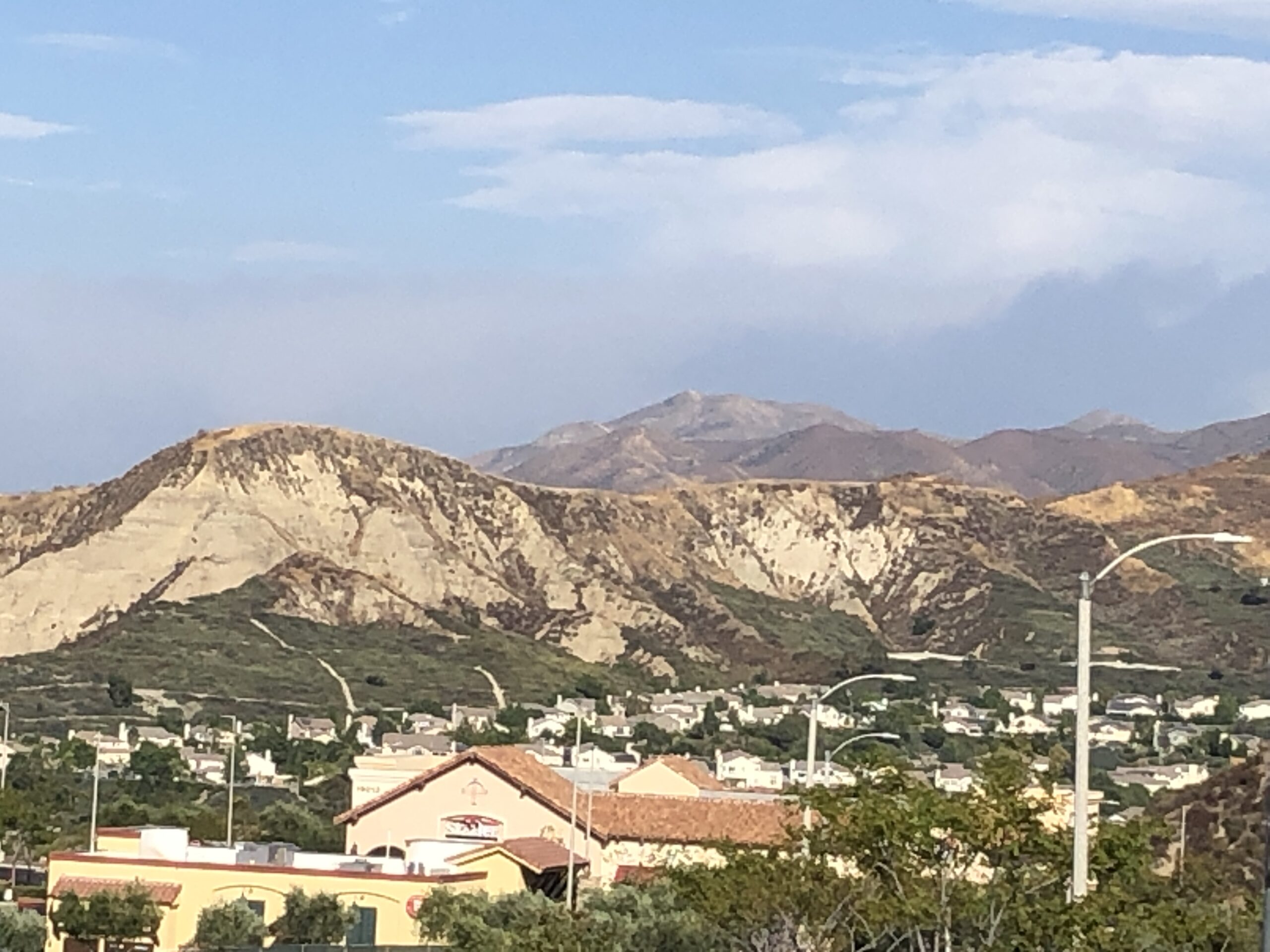
We had a very good AQ of 39 but it was hazy. Apparently, the Bobcat fire is just the other side of the mountains from us!
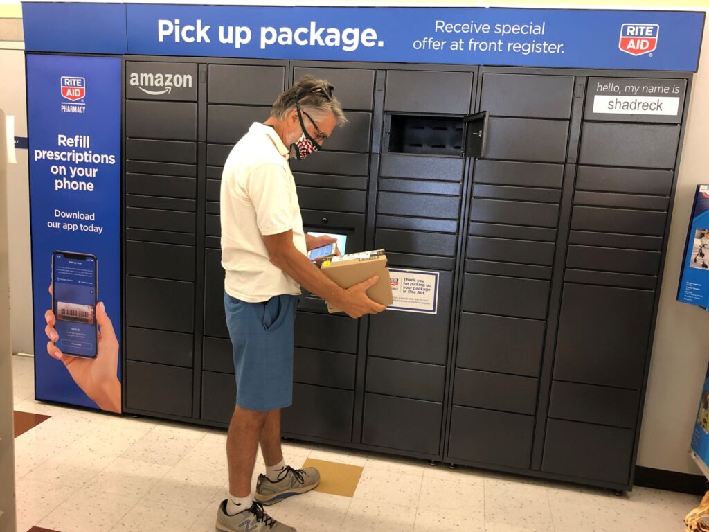
While we are on the road, it has become clear that most RV parks are not very co-operative about receiving packages. Some will not allow the delivery of any packages, others charge $5-$10 per package received, others will let you receive Amazon packages at no charge, others only RV parts – they all seem to have different policies. We discovered that we can order from Amazon and have packages shipped to Rite Aid – or other nearby destinations – for pickup at no extra charge. So we drove to Palmdale to pick up our packages, and it was quite hazy.
The Rite Aid at Palmdale has an Amazon locker. We were surprised that they gave us a coupon for $5 off a $10 purchase for using the Amazon locker!
Saturday 12th – AQ 51 We walked around the park and did some laundry and cleaning. Just another day!
Sunday – We Zoomed for Sunday School and tuned into You Tube for the worship service at Stephens Valley Church in the morning – and later Zoomed with the family in the afternoon.
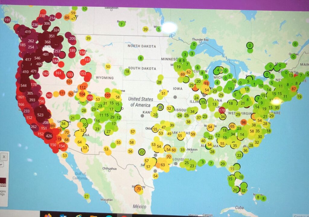
Monday–14th Jim went to PurpleAir.com and found this air quality map
We noticed there was some particles of ash on the car as we prepared to drive to Santa Clarita.
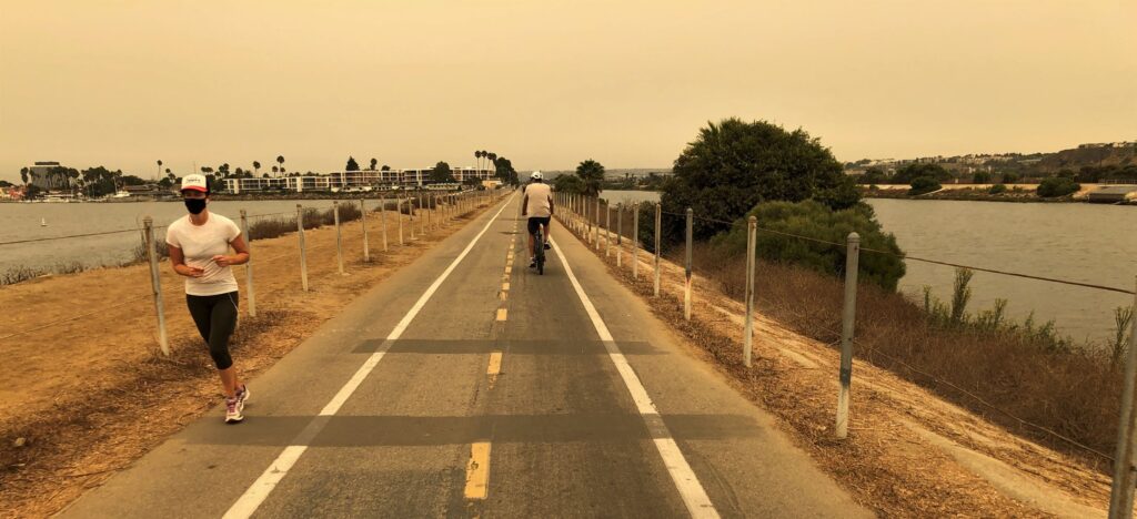
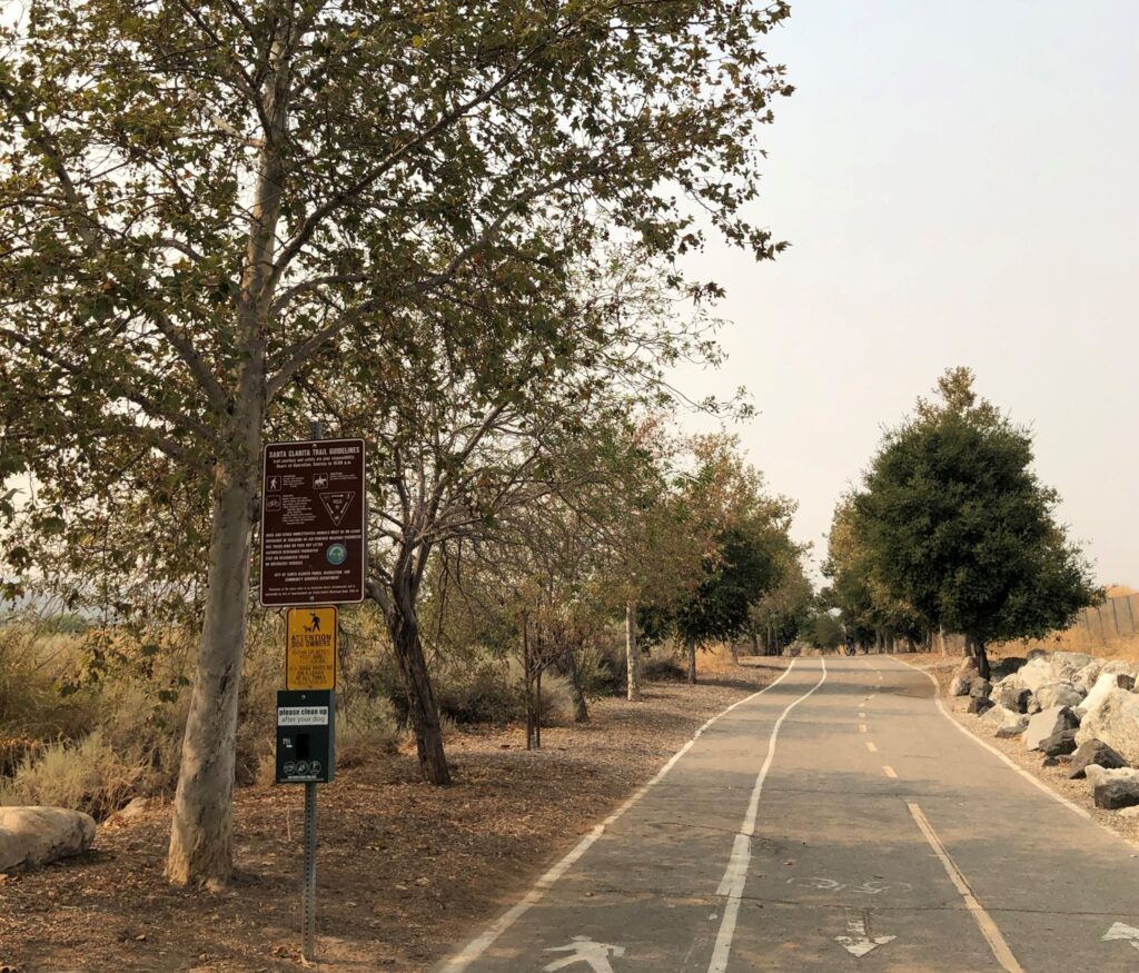
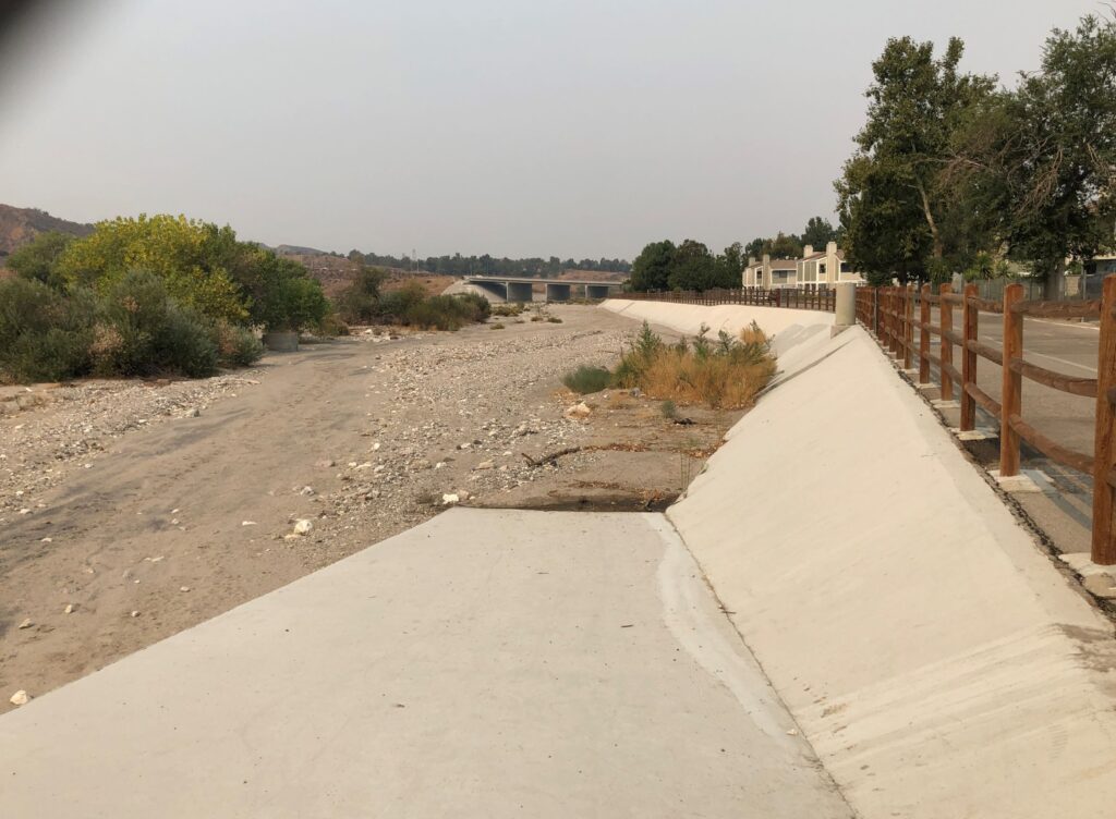
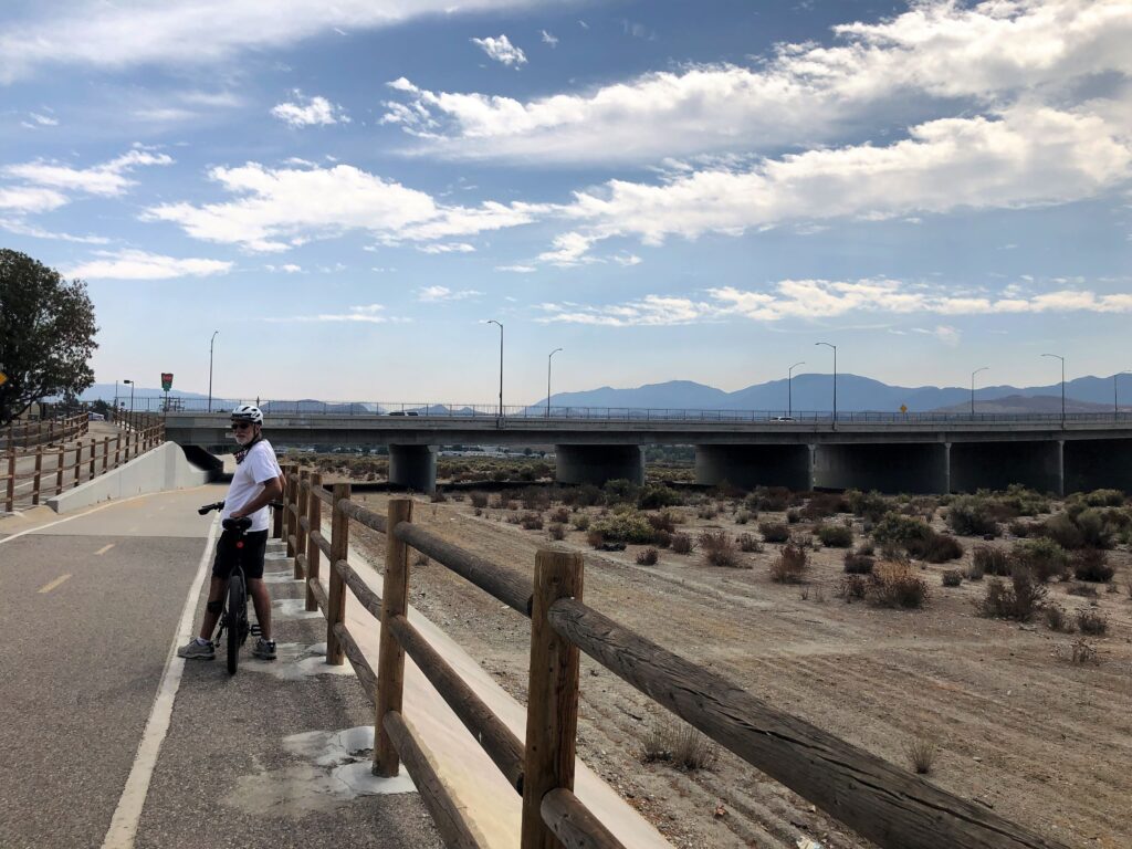
A paved trail there follows the Santa Clara River.
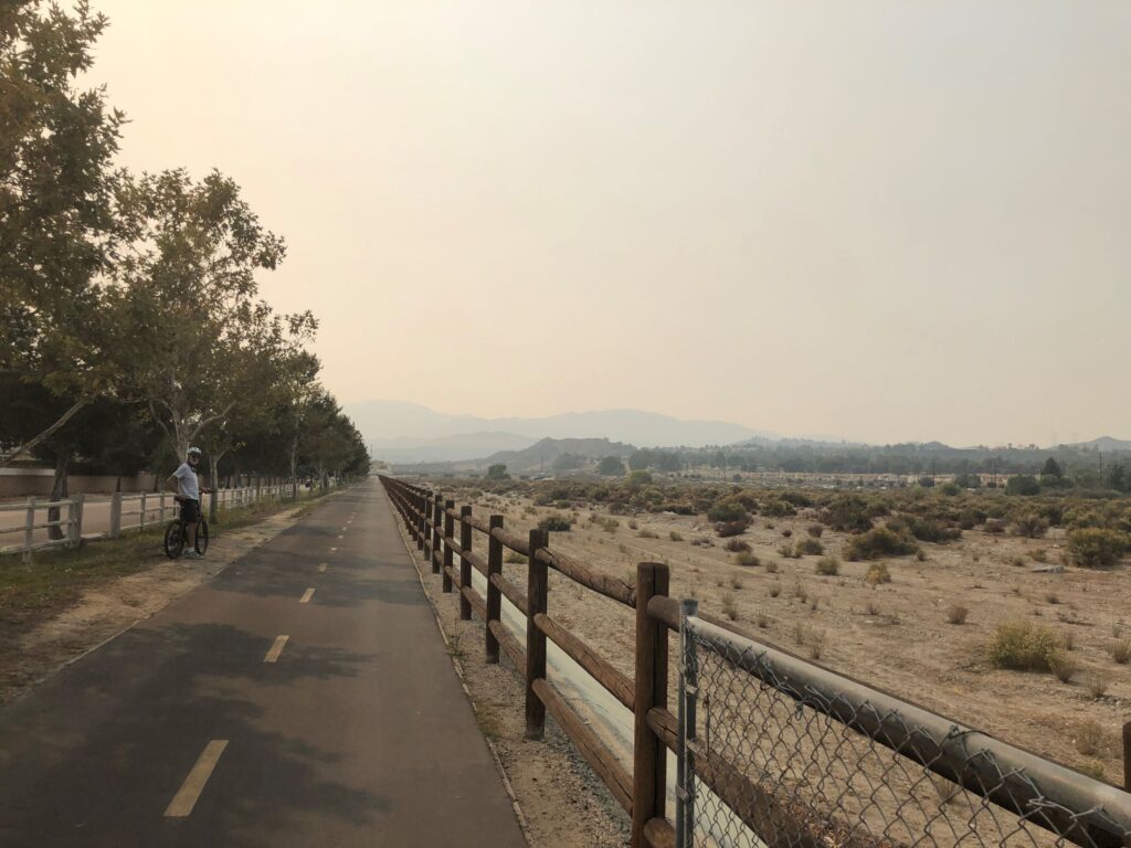
The riverbed is totally dry.
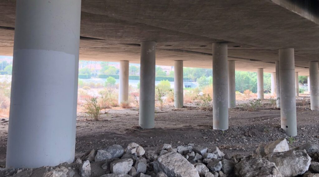
Yep, no water under the bridge
We rode past a few boat launches – which were blocked with a gate – perhaps to keep out ATVs that could ride on the dry river bed!?
Temperatures ranged from 74 to 79 degrees as we rode about 12 miles on the bike trail.
Tuesday Sept 15 – we drove back to the beach to ride from the south end of the Marvin Braude Bike Trail. The air quality was a bit better today – but still hazy.
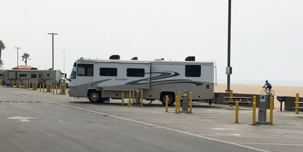
There is an RV park right on the beach
We stopped for lunch again at the El Segundo Beach Café and they were glad to see us well before closing time today!
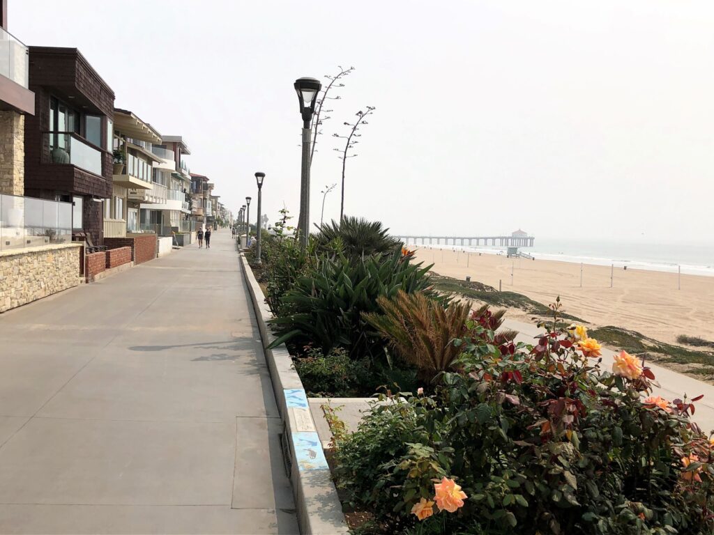
The homes along the beach at Hermosa Beach were beautiful (Hermosa means beautiful!)
And the homes on The Strand at Manhattan Beach looked quite impressive.
We rode another 27 miles today – tying the record we set last Wednesday riding from the northern part of the trail.
Friday 18th we bicycled on the Santa Clarita Trail again. It was great to see BLUE SKIES again as we drove thru the mountains!
The air quality was better, but it started to smell smoky on our ride back to the trailhead. It was 83 when we started at 10 and warmed up to 86 by noon. This ride about did us both in – even though we rode a total of 17 miles, we both thought it was the most strenuous ride so far.
Around 11:40pm we had an EaRtHqUaKe!! It was a magnitude of 4.5. The epicenter in Rosemead was about 30 miles from us in Acton, on the other side of the mountains. It was NOT on the San Andreas Fault, but on the Puente Hills thrust fault. We did indeed feel that initial quake, but must have slept thru the aftershocks!
Sunday – As usual on Sunday morning, we Zoomed for Sunday School and tuned into You Tube for the worship service at Stephens Valley Church in Nashville. We ran a few errands and in the afternoon, we Zoomed with the family to catch up with everyone.
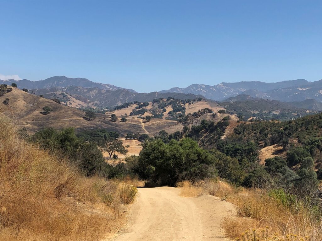
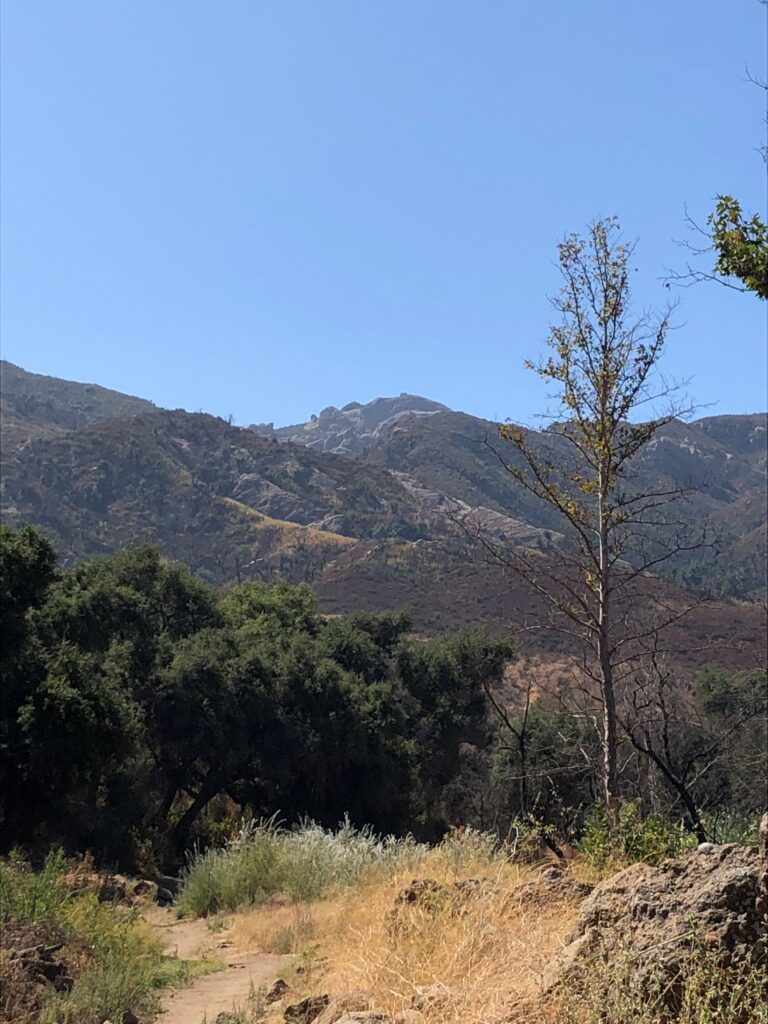
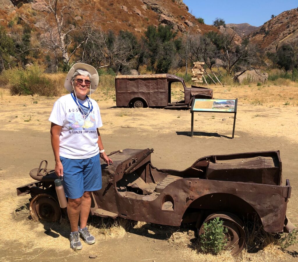
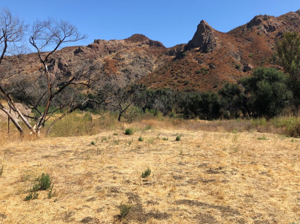
Monday September 21 – Jim’s birthday! As I mentioned earlier, the landscape here reminded us of the opening scenes from M*A*S*H. We both enjoy watching the reruns! I discovered yesterday that the site used for filming the outdoor scenes (for both the movie and the TV show) was just 50 miles from where we were staying, and open to the public! So, we went to Malibu Creek State Park to check it out. We hiked 2½ miles from the parking lot.
As we walked along the dusty road, we could almost picture Hawkeye driving the Jeep on the road!
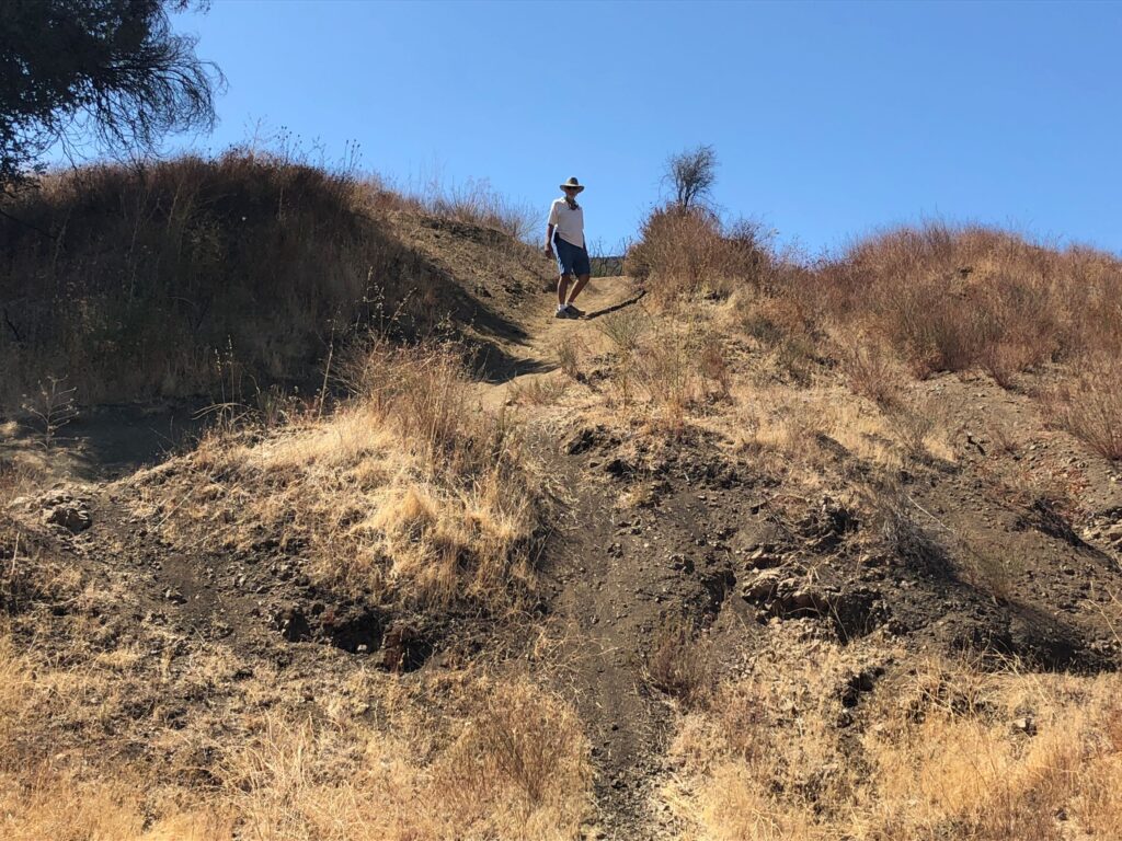
Soon the road turned into a rocky dirt path. It was quite warm out!
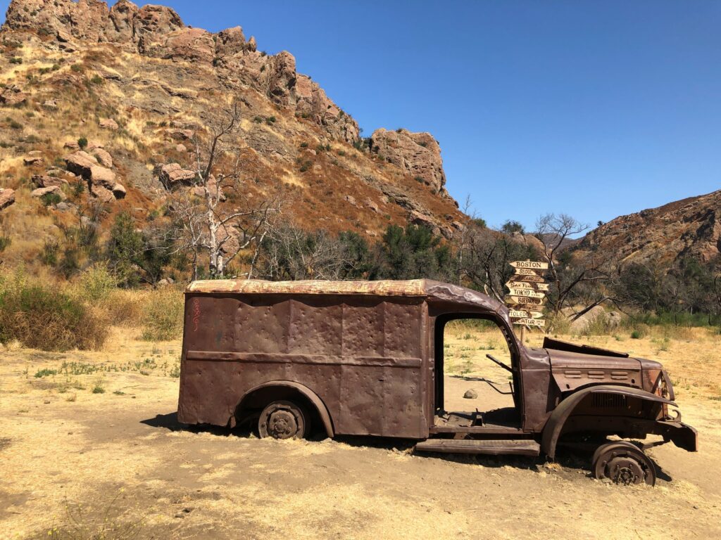
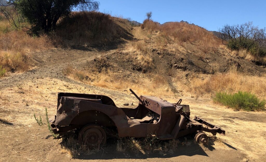
We finally got to the site! A rusted out Dodge WC54 ambulance helps set the scene…
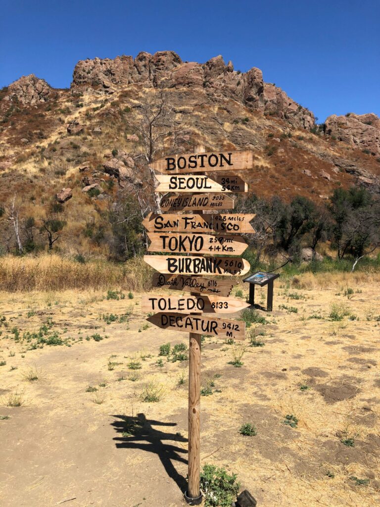
There was a copy of the original M*A*S*H signpost
And a Jeep
Jim went up to check out the helicopter-landing site
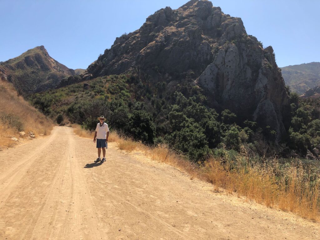
He got a great shot of the whole M*A*S*H site
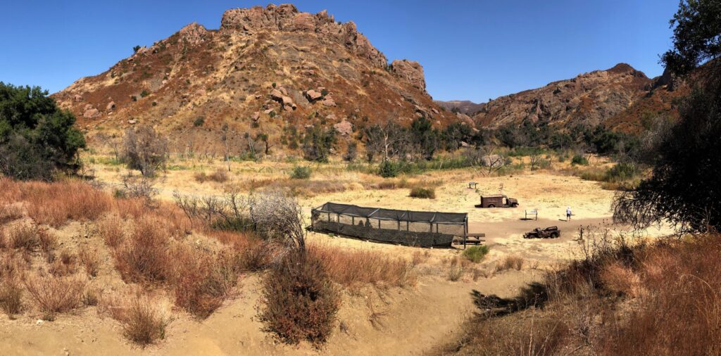
There were 3 boards with information about the site
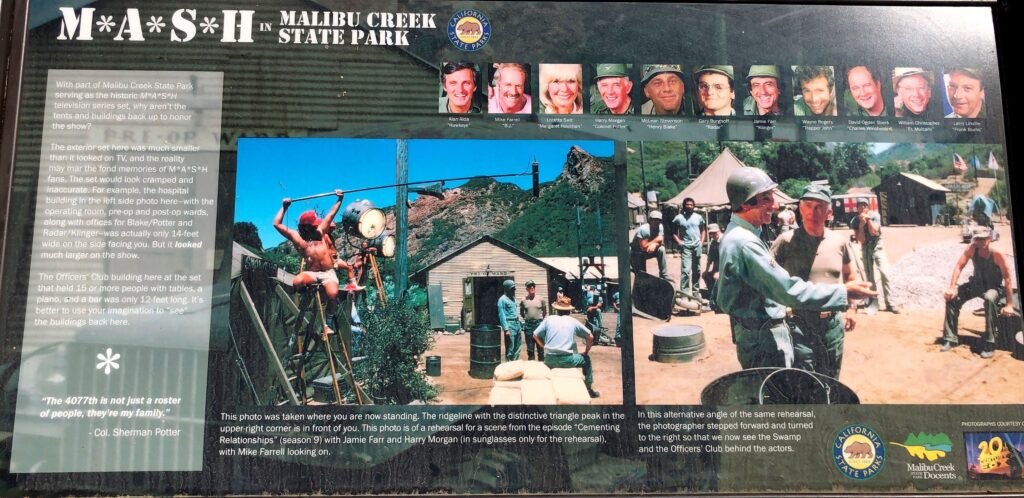
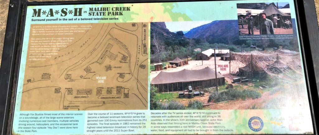
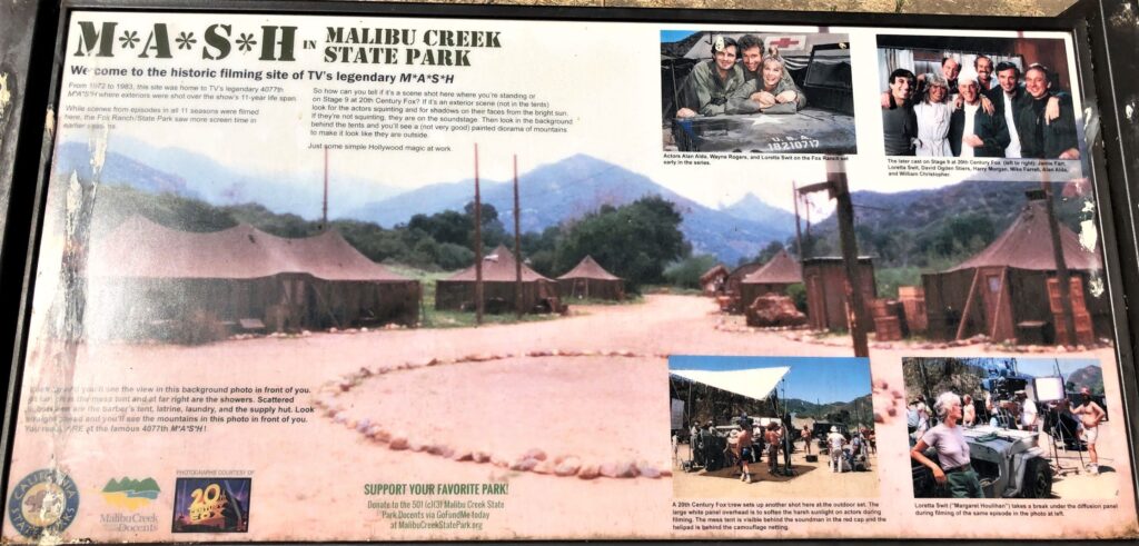
We enjoyed seeing the M*A*S*H filming site! We weren’t sure exactly where the Reagan Ranch was. (And it probably wasn’t open anyway) We were hot and getting hungry, so we headed back to the Jeep and our packed lunch.
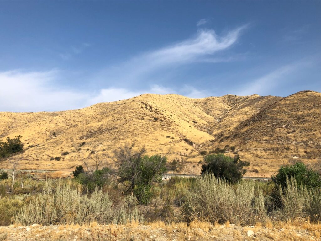
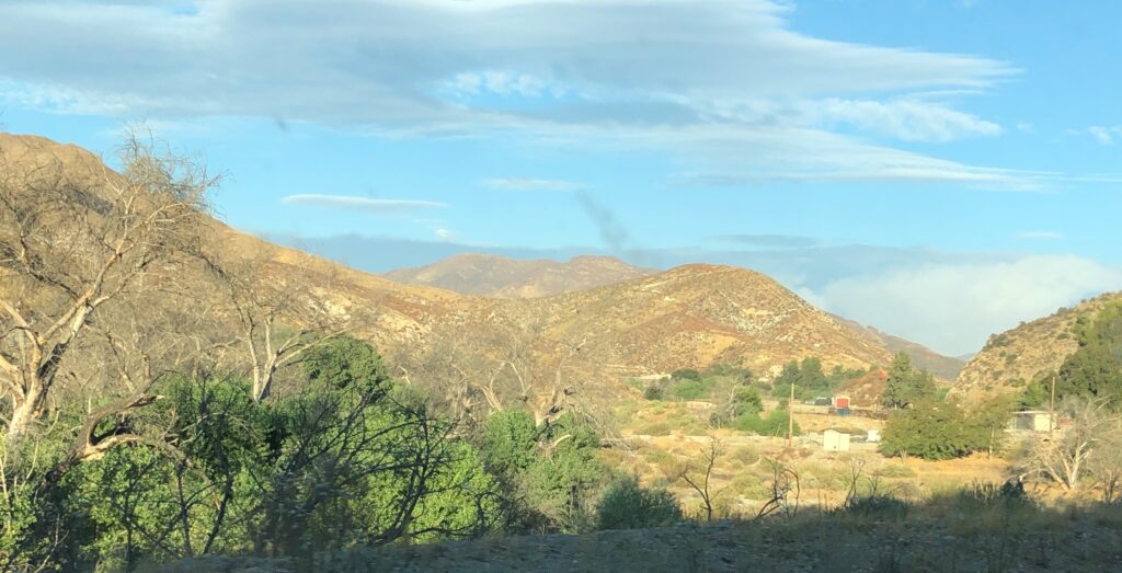
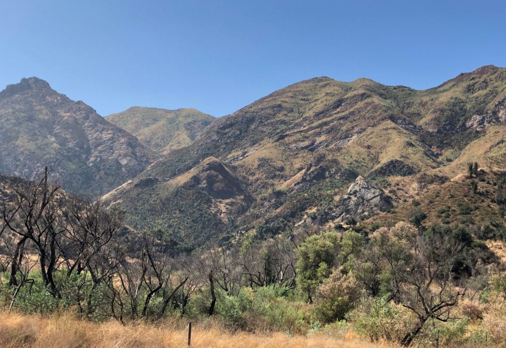
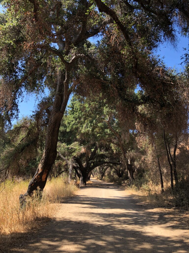
The landscape in Canyon Country is interesting for sure! Here are some shots we took during our 2 week stay.

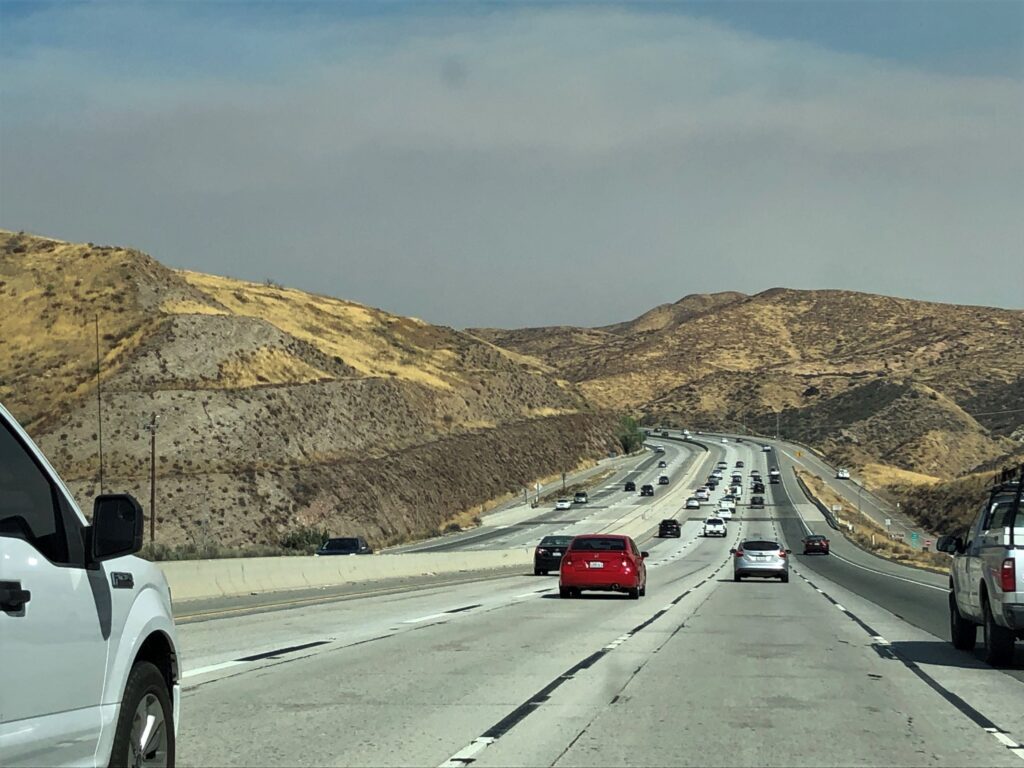
Tuesday – It was a nice day to drive to our next destination; Thousand Trails Wilderness Lakes RV Resort in Menifee, CA
![]()
Your opening shots really captured the monotone impact of all that smoke in the air. Glad to see the sky getting bluer and bluer as the days went by. Love the detail: 12 mpg-must’ve been some frequent downhills in that stretch of road. Thank you for your photos. what a memorable experience.
Our bike rides are really nothing compared to the miles and places you ride – but we are enjoying the places we visit and its really nice to get out and get some exercise!
Always enjoy your blog, especially the pictures! Cyndi and I are looking forward to our first RV trip in October.
What fun you are having !!!! Loved the MASH site and the old truck and jeep. Loved the lighthouse. Saved it for future painting, maybe!!
Stay safe, luv