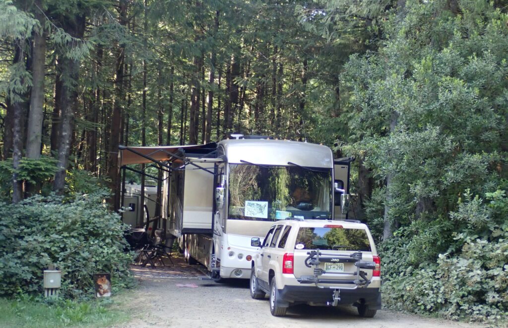
July 30 – Thursday – we left Portland-Woodburn RV Park at 9:40 – Acey’s mileage 65,297.6 and Thor has 69,642. We arrived at Thousand Trails South Jetty RV and Camping Resort just past noon. We again will not have a sewer connection, but found a very shaded 50 amp spot and there is a grey water drain in front of the next spot. The weather should be rather pleasant – not even reaching the 70s during our 11 night stay. 11 nights – the longest stay since we left Nashville on May 27.
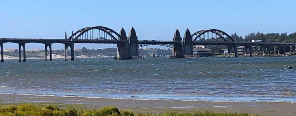
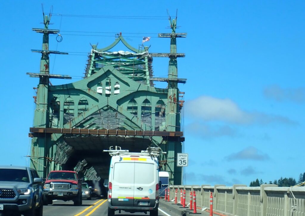
We ran out to the hardware store to get a set of clippers – the “pricker bushes” and weeds are impinging on our area, and we could have used them at a few other spots we have stayed in! We also got a few groceries and came back to sit outside and enjoy the cool weather before we fixed dinner. We crossed over the “historic” Siuslaw River Bridge – a drawbridge designed by Conde McCullough. A very interesting structure!
Friday we slept in past 8 – oh my! This retirement living is really agreeing with us… and the bed in Acey is very comfortable! Jim changed out the water pump – the one he installed last September was acting quirky, so he had a new one shipped to Ted. The supplier gave us a credit and didn’t want the old one back – it works but is not quite right – so we have a spare anyway… He also worked on some other things and we did some housekeeping chores.
Saturday we drove north on Highway 101 and see what we could see… Our first stop was at the Sea Lion Caves. They claim to be America’s largest sea cave – a naturally formed underground cavern – accessible by elevator (208 foot drop) since 1961. There used to be a wooden tower with lots of stairs when the area was first commercially established in 1932.
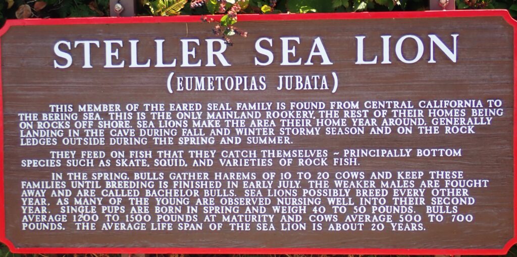
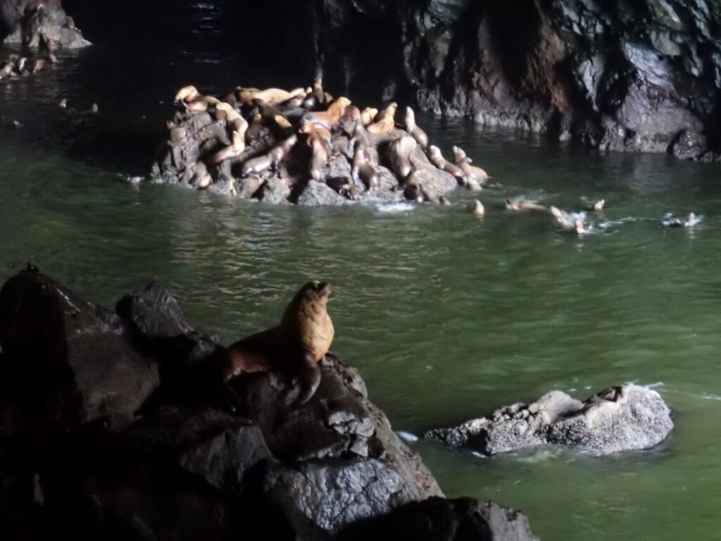
When we first came to this viewing area, a large raft of sea lions dove off the rocks to the far left and into the water – it was like an avalanche of sea lions! The “floor” area here is about 2 acres with a 125 foot ceiling!
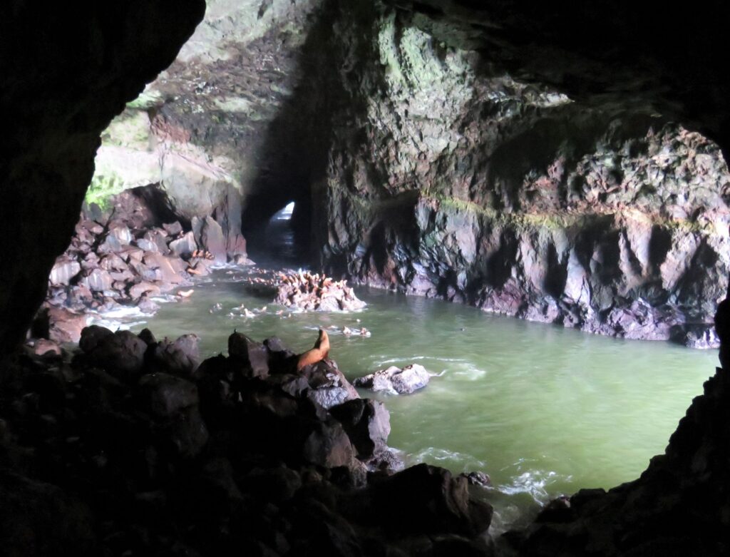
Many sea birds also enjoy this area, and we got an up close look!
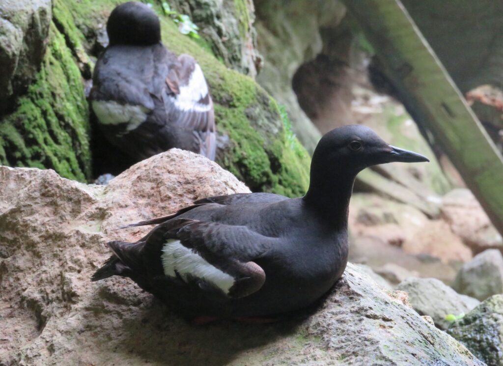
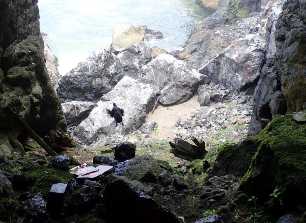
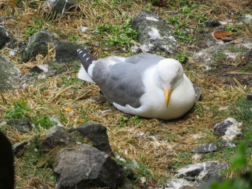
Hundreds of seals played and sunned themselves on the rocks along the shore near the caves…
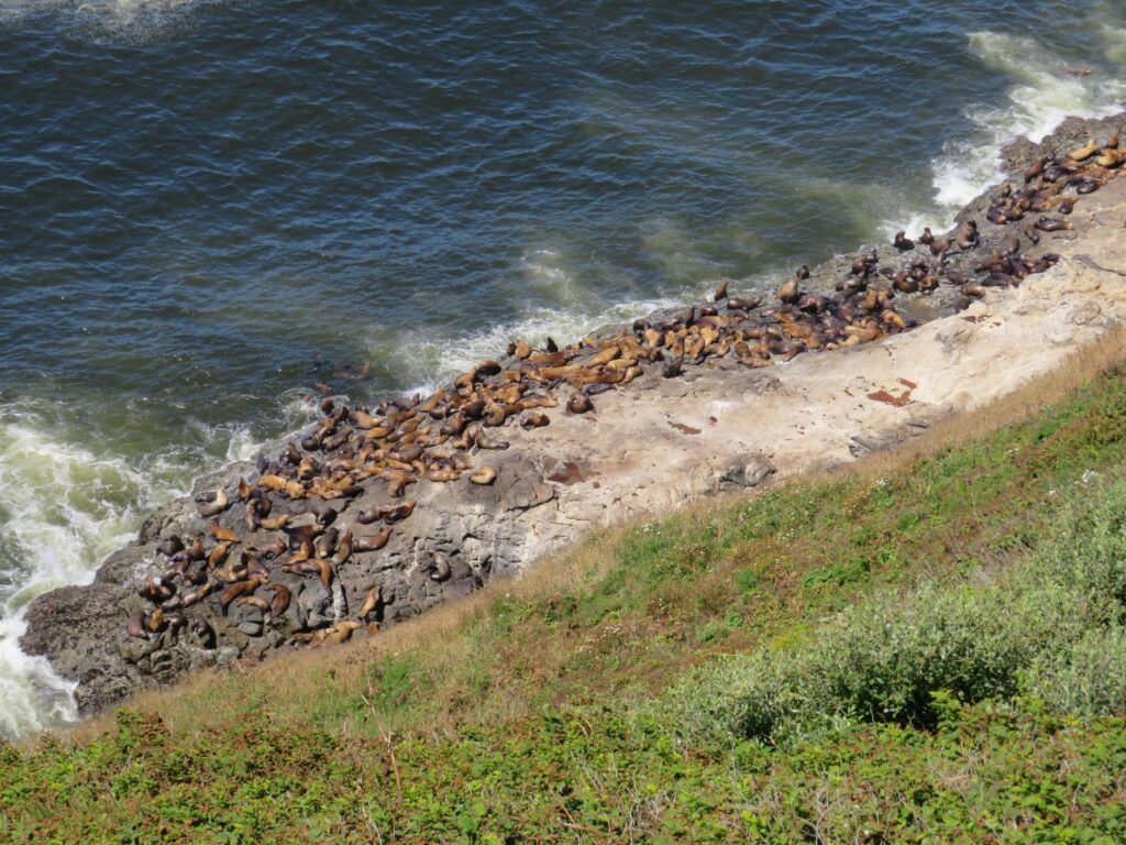
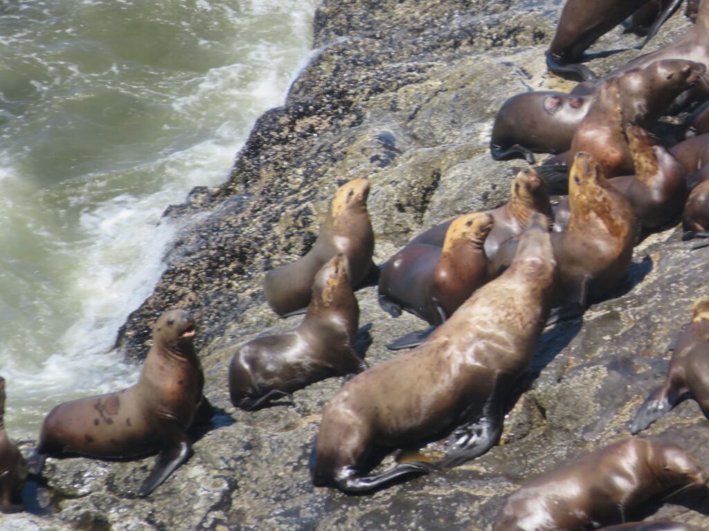
…and plenty more played in the water!
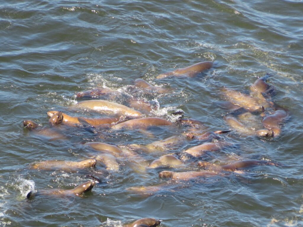
Here is a short video – it was windy but you can hear the sea lions!
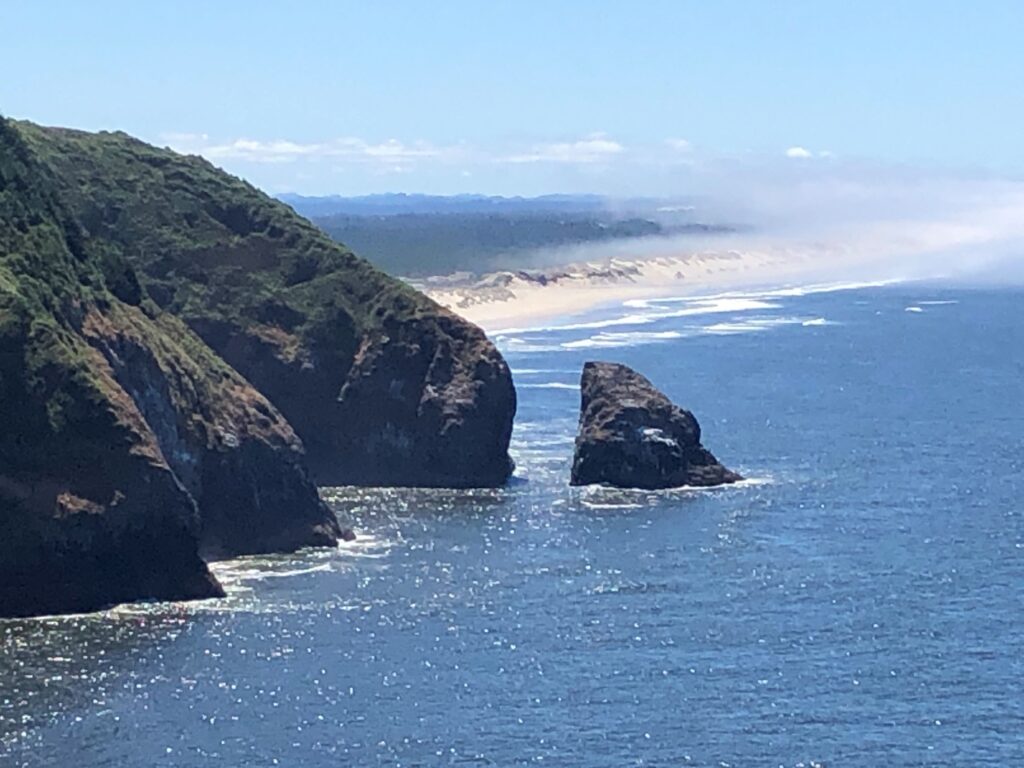
Beautiful coastline to the south – the coast is very rocky and there are dunes in this area near Florence – it was a bit foggy today!
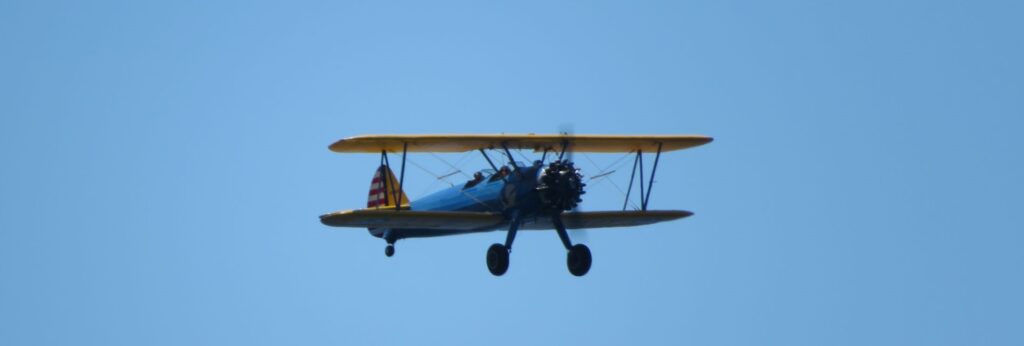
Jim got a nice shot of a cool bi-plane that flew past us!
And looking to the north – another beautiful view!
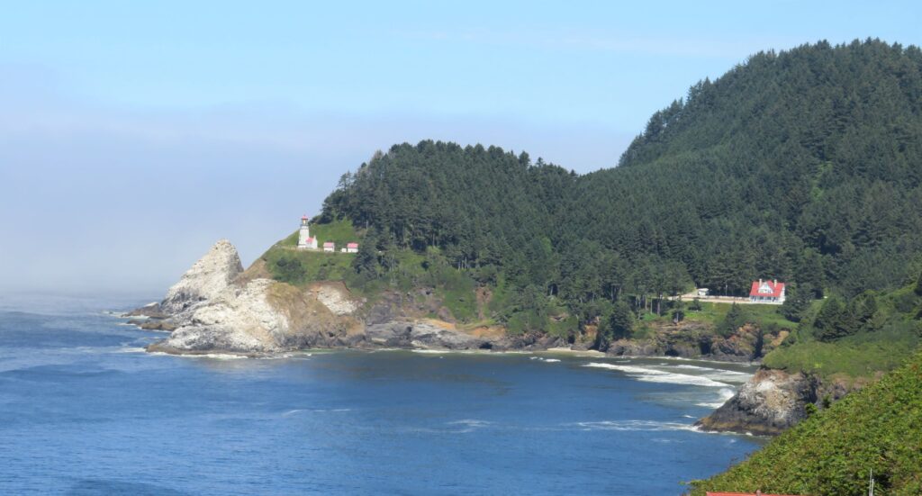
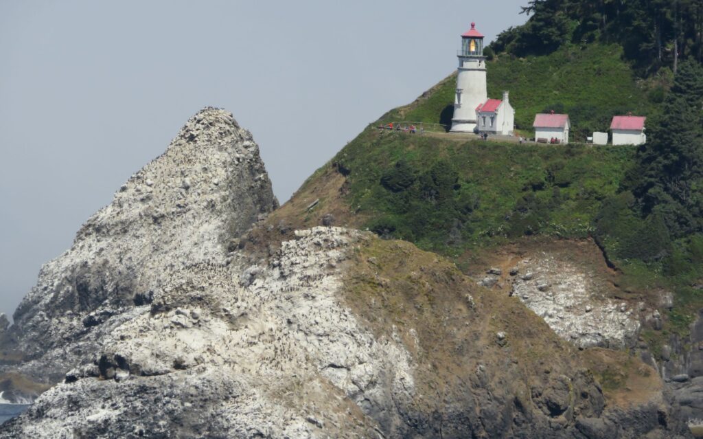
We saw the Heceta Head Lighthouse – built in 1894 – it is claimed to be the most photographed lighthouse in the world! (I thought the Portland Head Light was more popular!) The headland is named for the Spanish explorer Bruno Heceta, who sailed along this coast in 1775. This is one of the few still active lighthouses on the coast of Oregon..
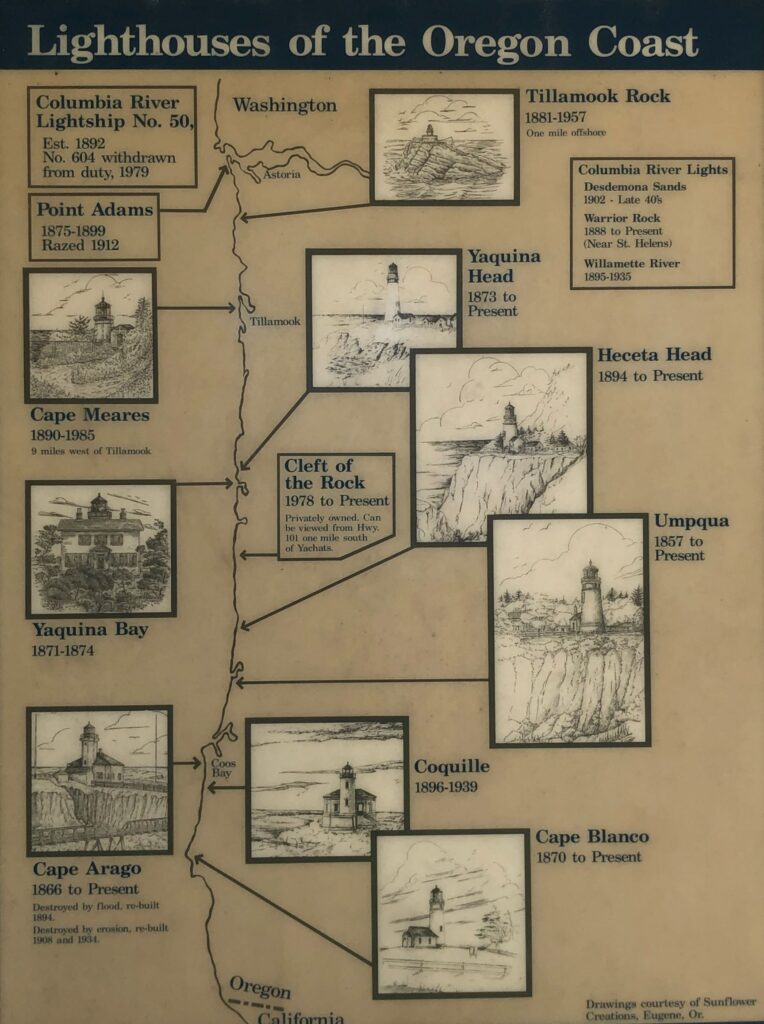
Here is a handy chart about lighthouses on the Oregon Coast – we will not be able to see all of them.
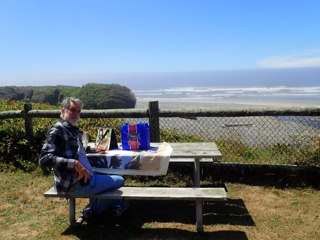
We had a nice view of the ocean for our picnic lunch at Muriel O. Ponsler Viewpoint as we headed toward Yachats!
Devil’s Churn was our next stop; that was as far north as we decided to go that day; then head back south to catch the viewpoints along the rocky shore.
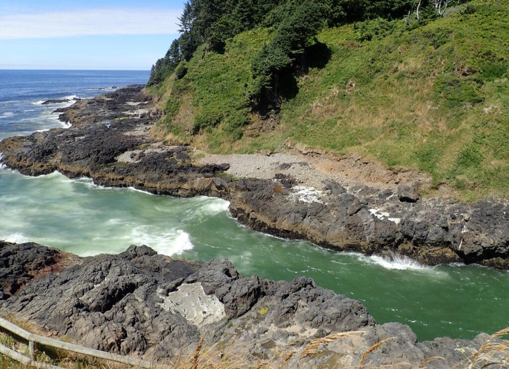
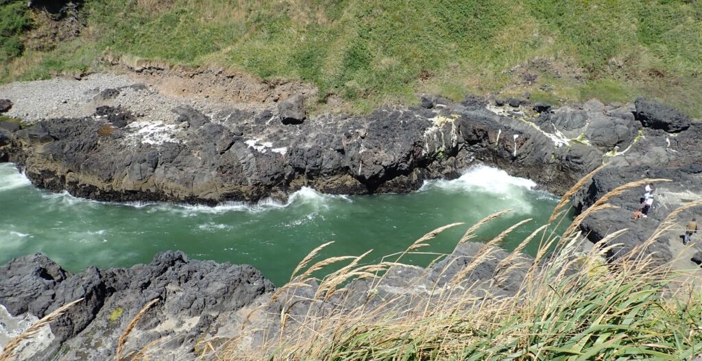
Had the seas been rough, this would have REALLY been a sight to see! Jim did catch a few good splashes!
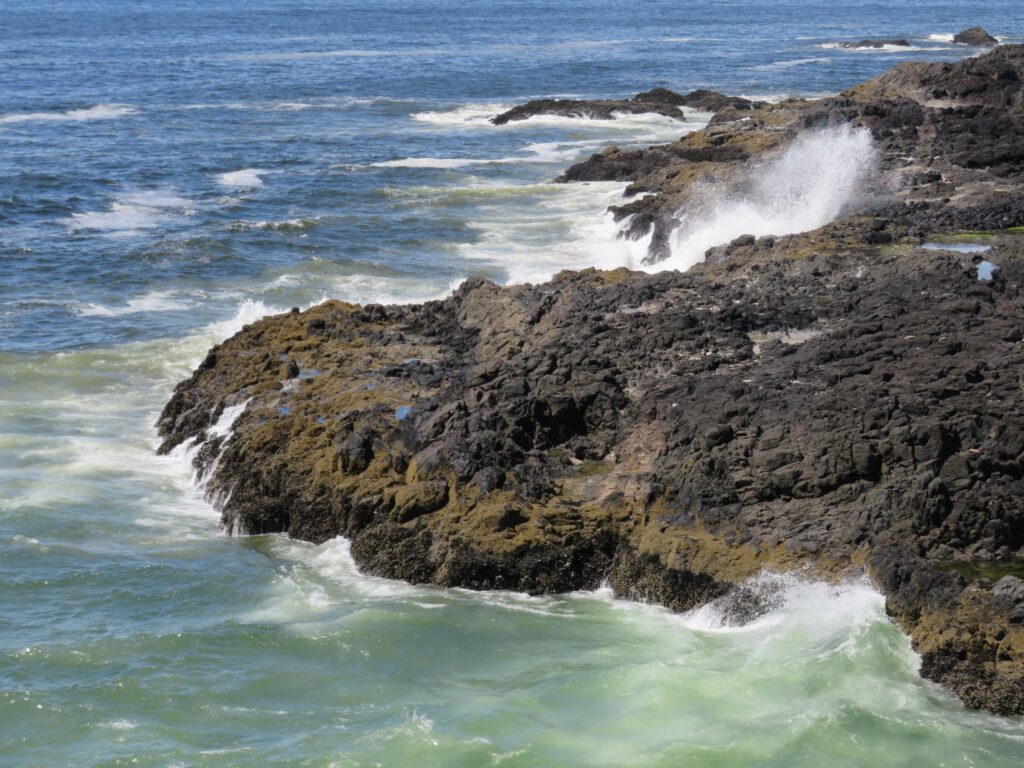
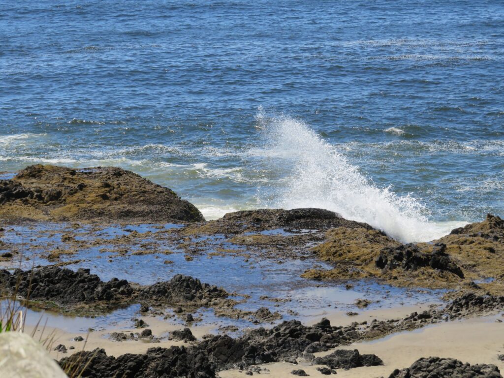
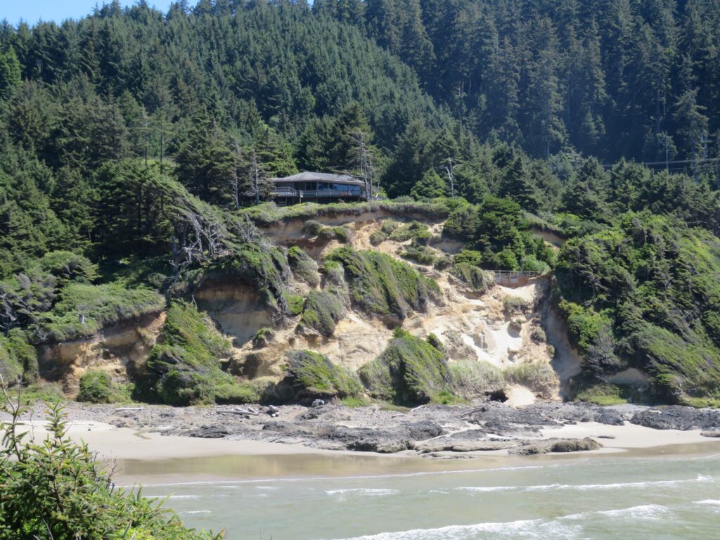
Looking to the south, how about living here?

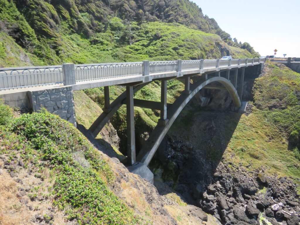
Next stop – Cook’s Chasm; the bridge here originally built in 1931 was rebuilt in 2003
… and then there was Cook’s Chasm along the rocky shore.
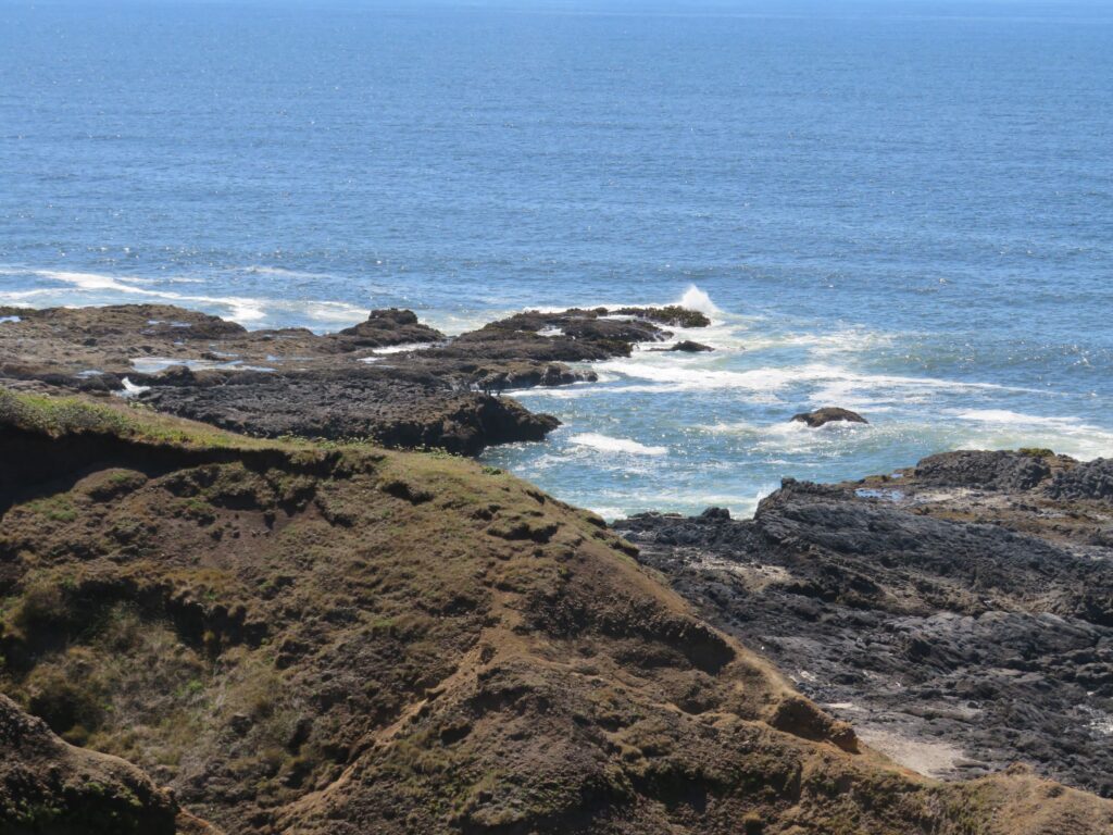
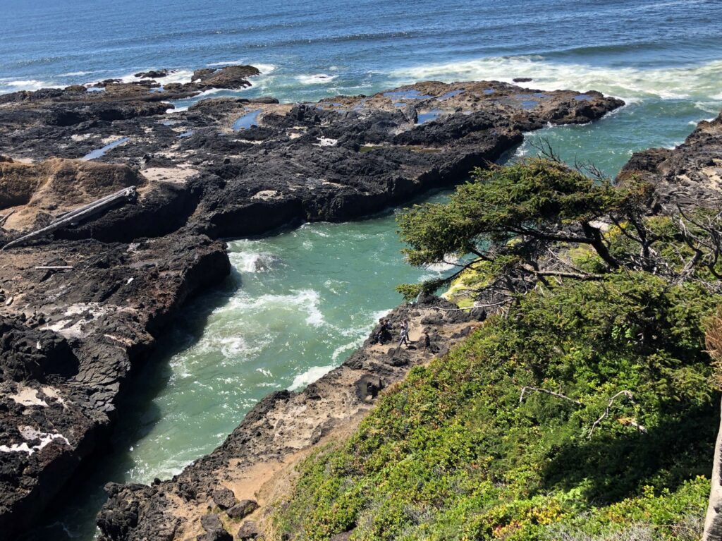
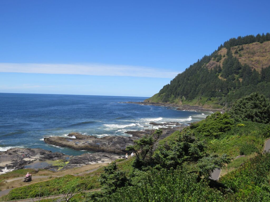
We stopped again – at Bray’s Point
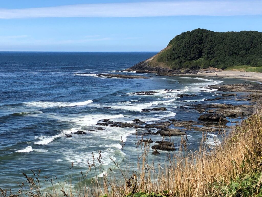
So many scenic viewpoints! Lots of birds playing in the ocean.
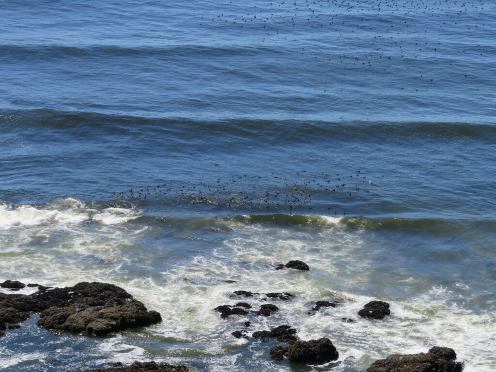
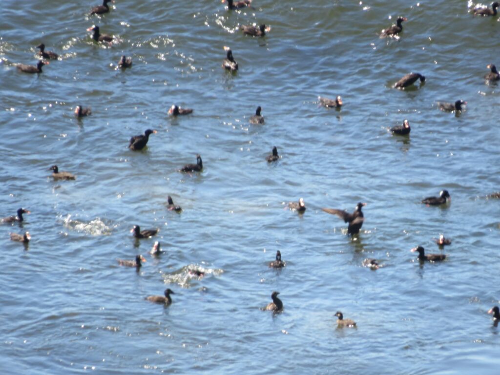
A final shot of the coast for today!
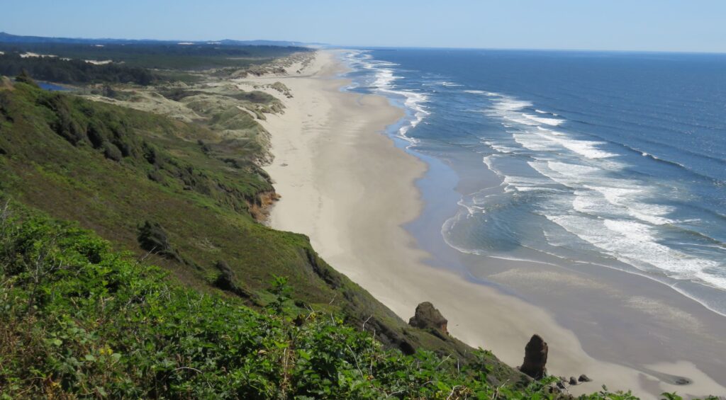
Sunday we Zoomed with our Sunday School class – we are finishing up a study in Galatians. Then we tuned into the YouTube broadcast of our Stephens Valley Church service. We had lunch and drove down the road to climb over the rather large dunes and walked on the beach.

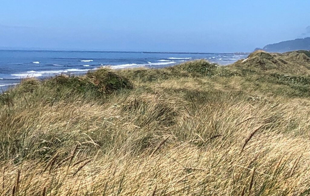
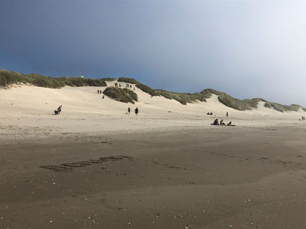
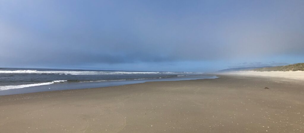
Having lived in Florida for several years, it is hard to fathom being so cool at the ocean in August! There were a few folks swimming in the water – but as Jim said we “stuck our feet in the Pacific, they still have hypothermia” Not sure of the water temperature, but it is quite cold!
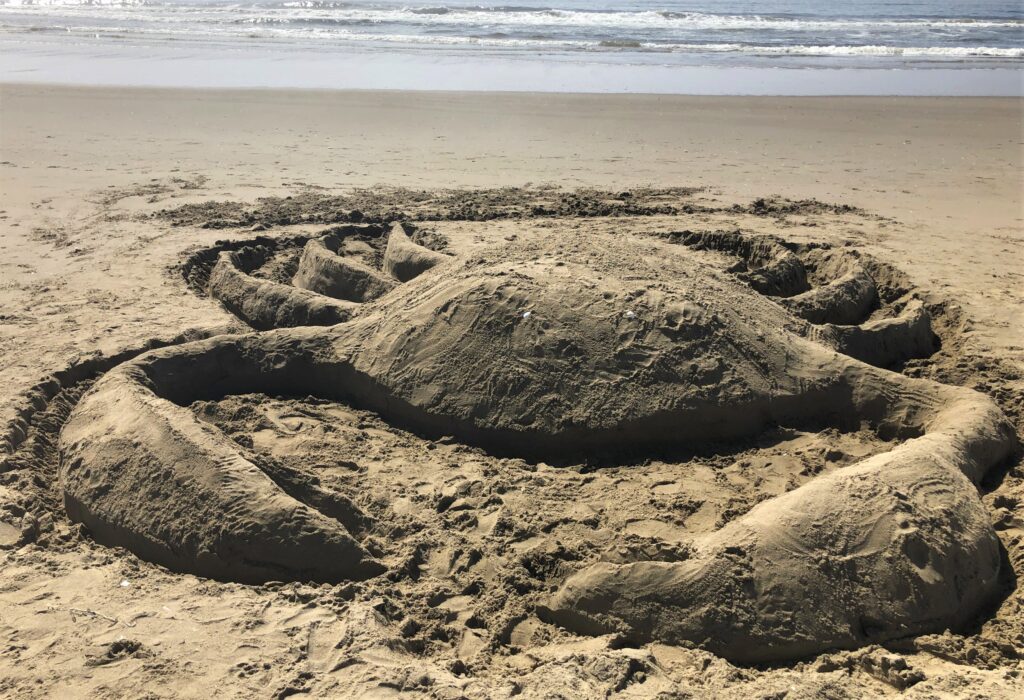
We came across a family working on a project on the beach – and when we came back by they were gone, leaving this rather large crab behind!
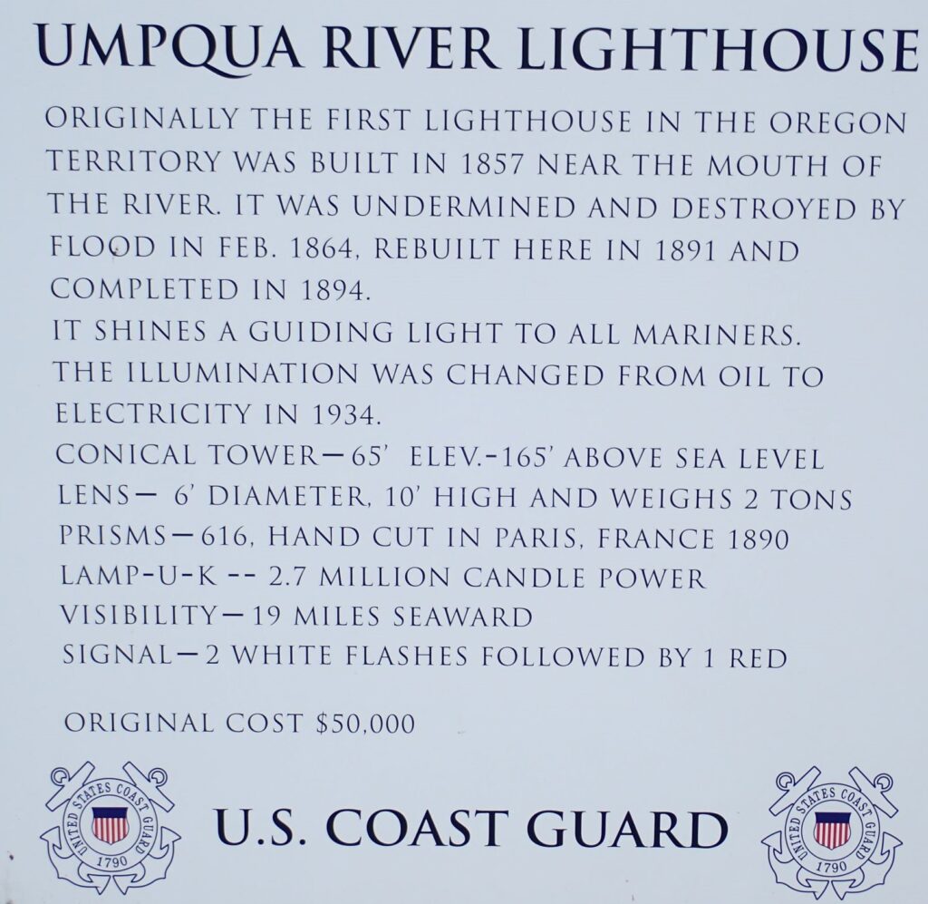
Monday we drove south along the coastal Highway 101 – and hoped to see some more lighthouses. Our first lighthouse siting last weekend in Washington was when Linda fell and messed up her ankle and knee – so she is slowing down our adventuring, but is recovering ok! Our first stop was at the Umpqua Lighthouse
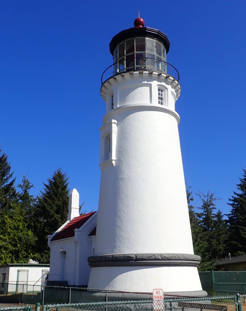
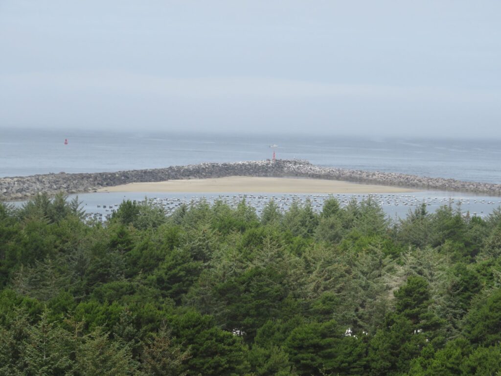
There was a whale watching station across from the lighthouse – but this is not the “season” for whales – though we have seen a couple during our visits to the coast. There was an interesting pointed jetty there – and it looked like maybe there had been a marina inside that area at some time.
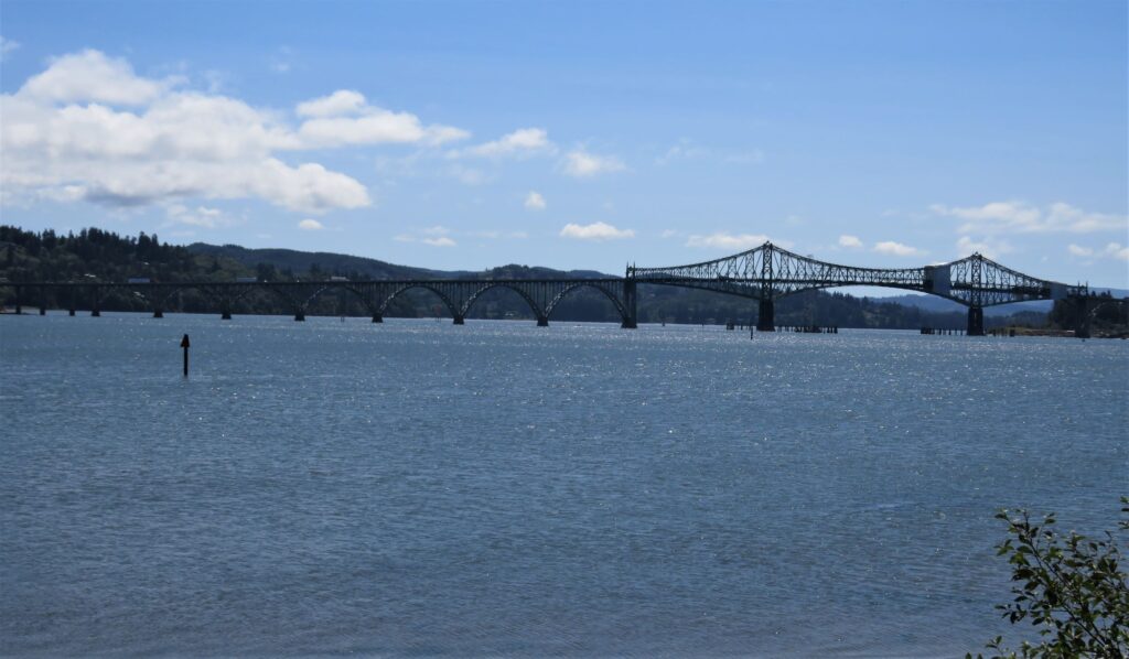
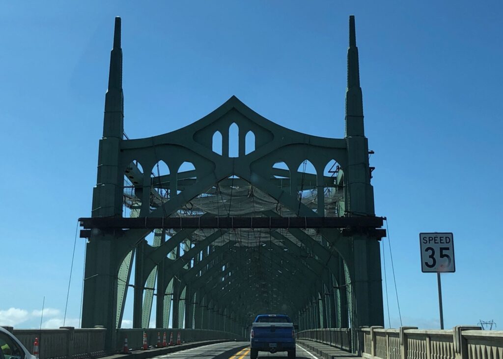
Driving further down the coast, we crossed this interesting bridge over Coos Bay
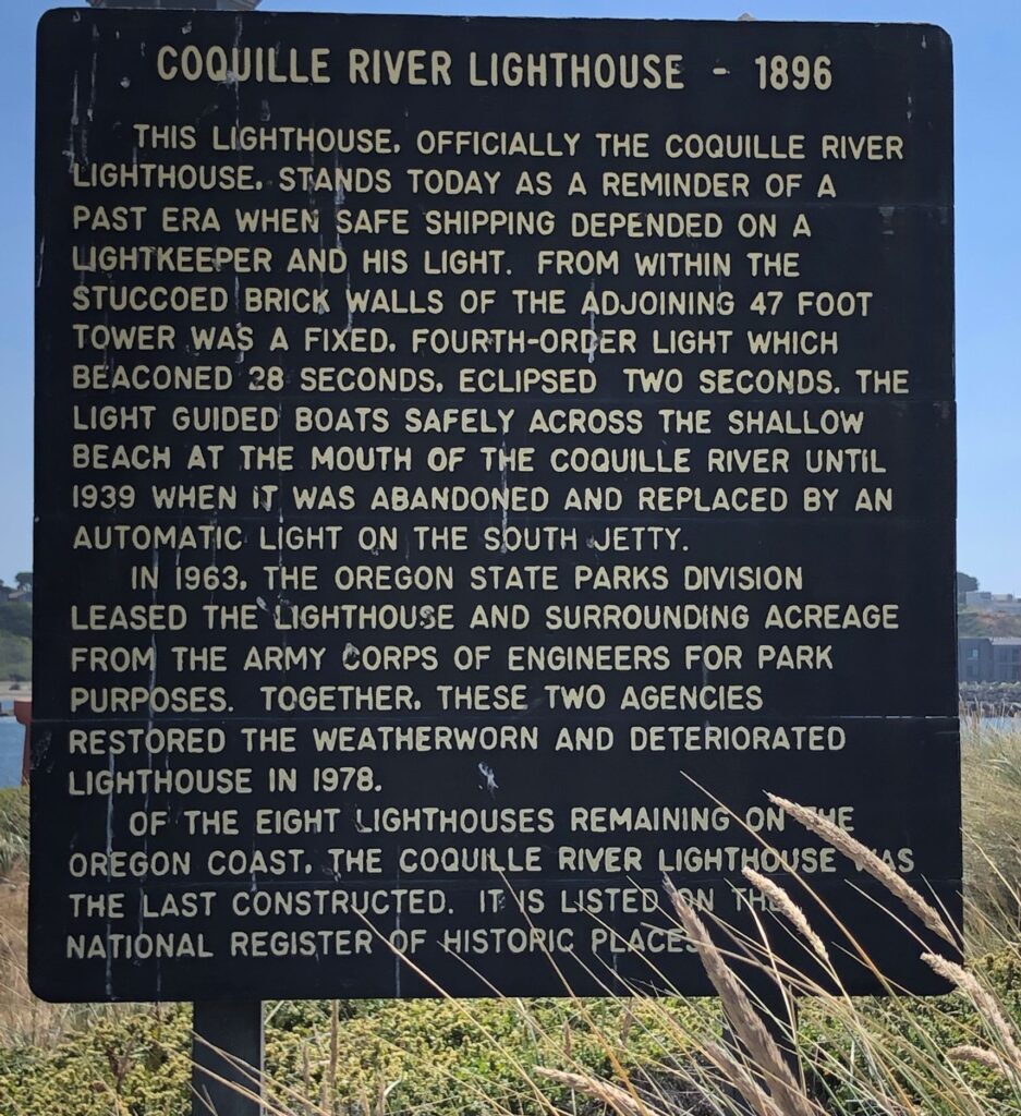
The Coquille Lighthouse was active until 1939 and looked like it could use some restoring…

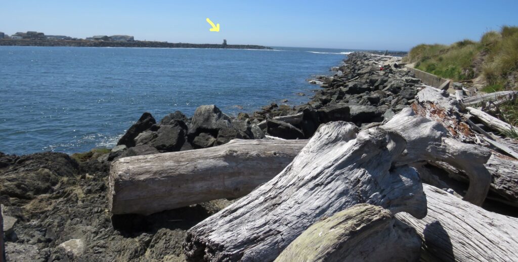
Standing below the lighthouse you can see the automatic light on the south jetty that replaced it.
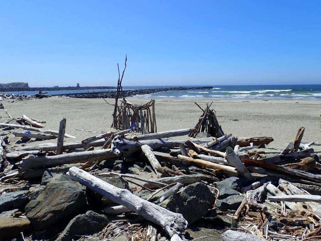
The beach north of the lighthouse was littered with lots of driftwood. Folks like to build structures with the pieces!
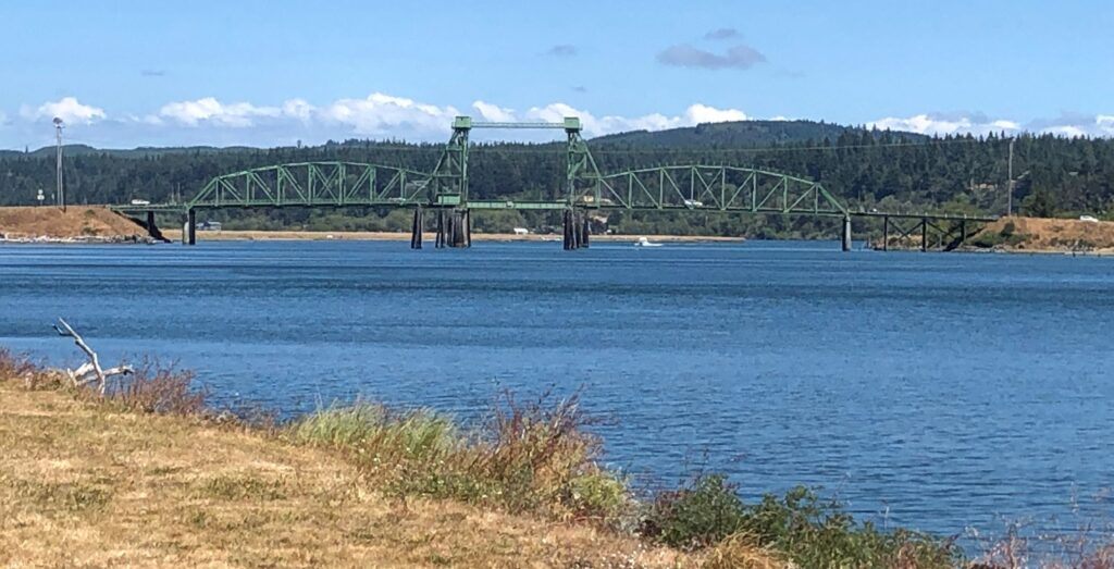
The Chandler Bridge over the Coos River has a vertical lift
We were disappointed that we could not see the Cape Blanco lighthouse — the State Park was closed. After a long day of driving, we headed back to Acey and fixed dinner.
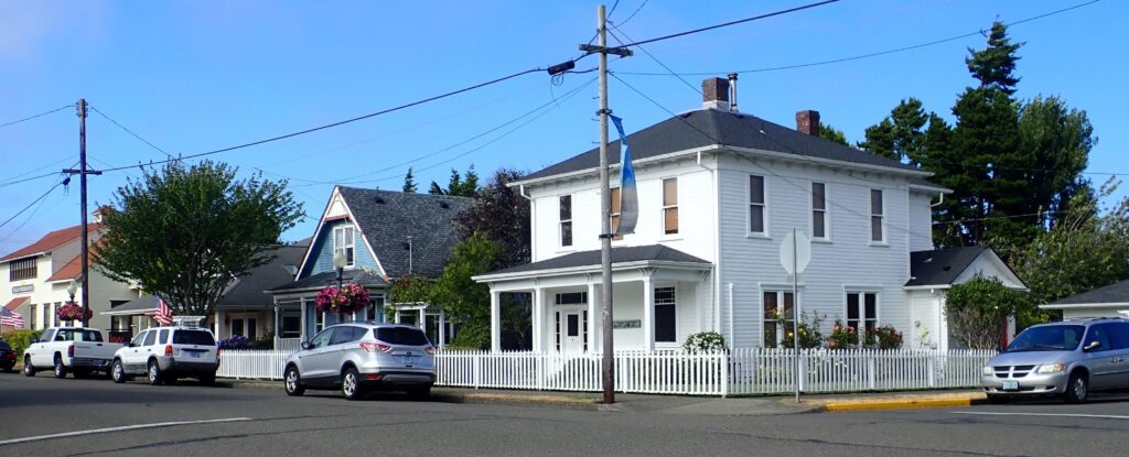
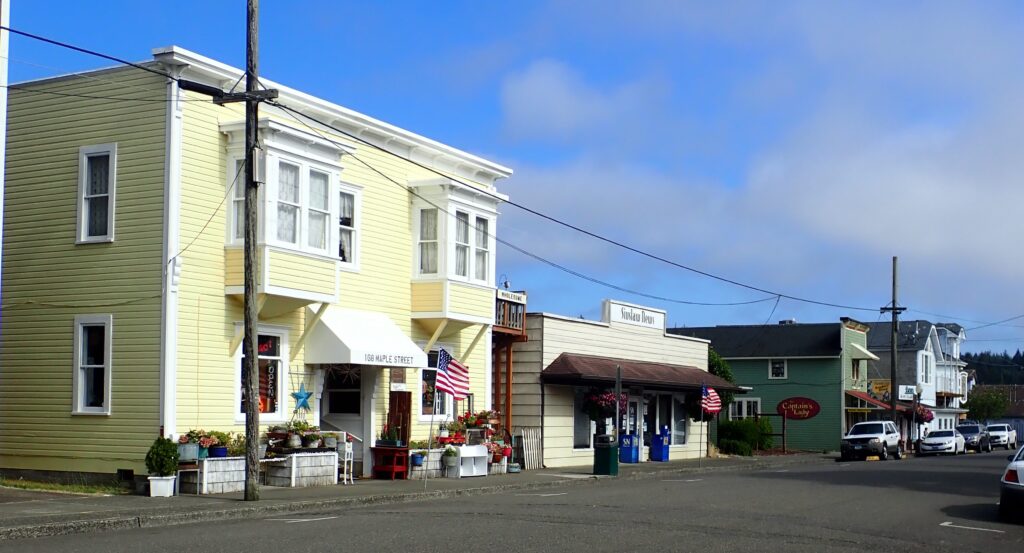
Tuesday was a day for maintenance and rest. After we had lunch, we headed into town to take a look at Florence. The Old town was rather quaint.
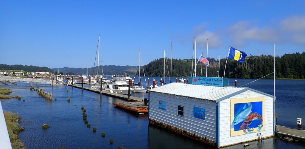
There was a floating restaurant at the marina – in the port of Siuslaw
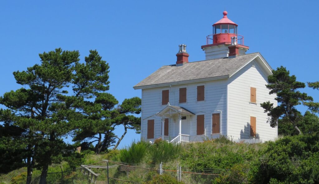
Wednesday we drove north to see more of the scenic coast. Our first stop was the Yaquina Bay Lighthouse which was only active for 3 years! 1871-1874
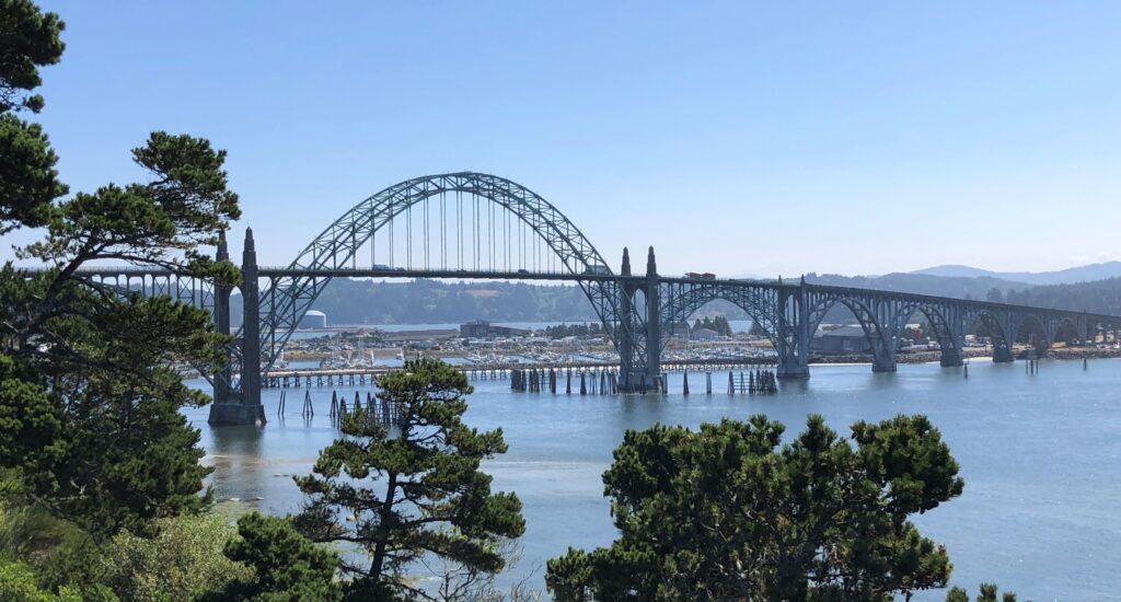
The Yaquina Bay Bridge is very picturesque!
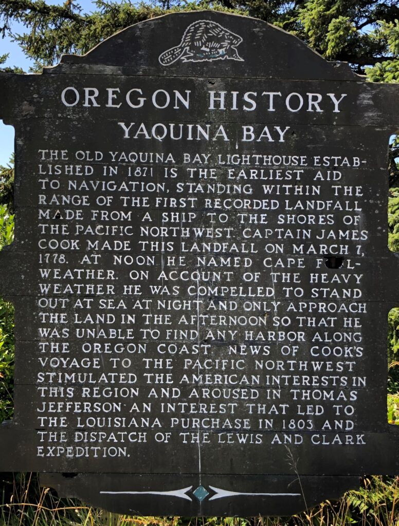
We are finding that Oregon is very inconsistent about which sites designated as State Parks are open – the restroom and picnic areas here were open – but the nearby site for the Yaquina Head Light was closed to traffic and there was not a designated parking outside the area there to park and walk half a mile to see the lighthouse. Bummer! Blame it on the Covid-19 virus… This sign had an interesting bit of history – Cape Foul-weather?!
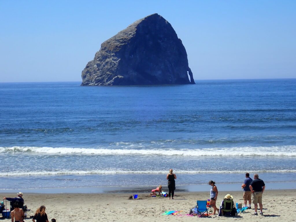
Cape Kiwanda had a BIG rock on the coast – reminded me of Haystack Rock – much further up the coast.
And this looked a lot like the rocks we saw at Pictured Rocks in Michigan’s Upper Peninsula.
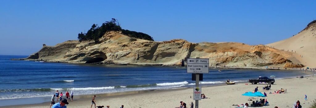
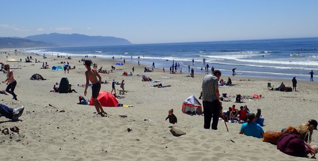
Lots of folks enjoying the beach here on a day that was only a bit warmer – but the water is still quite cold!
A few miles up the coast – more rocks in the ocean
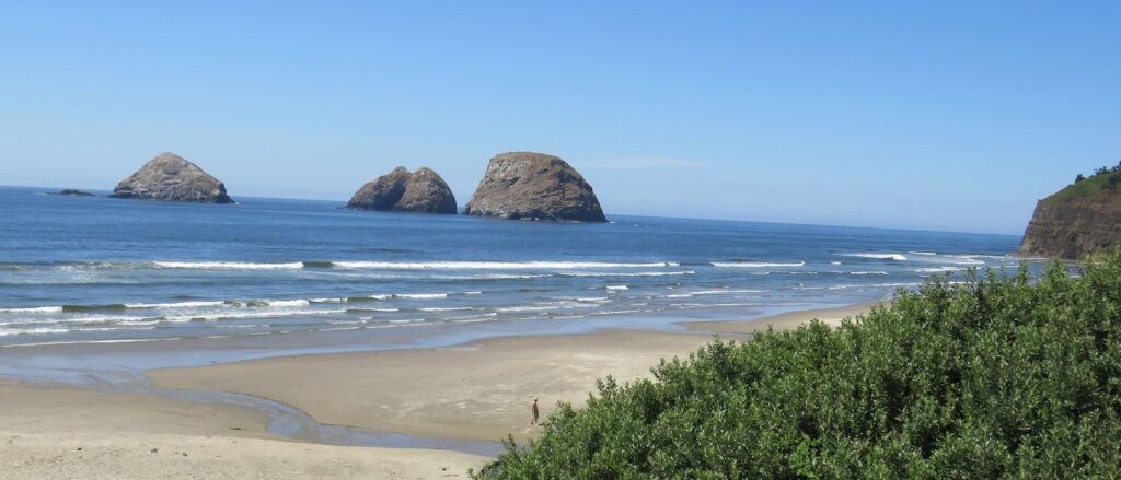
and even more….
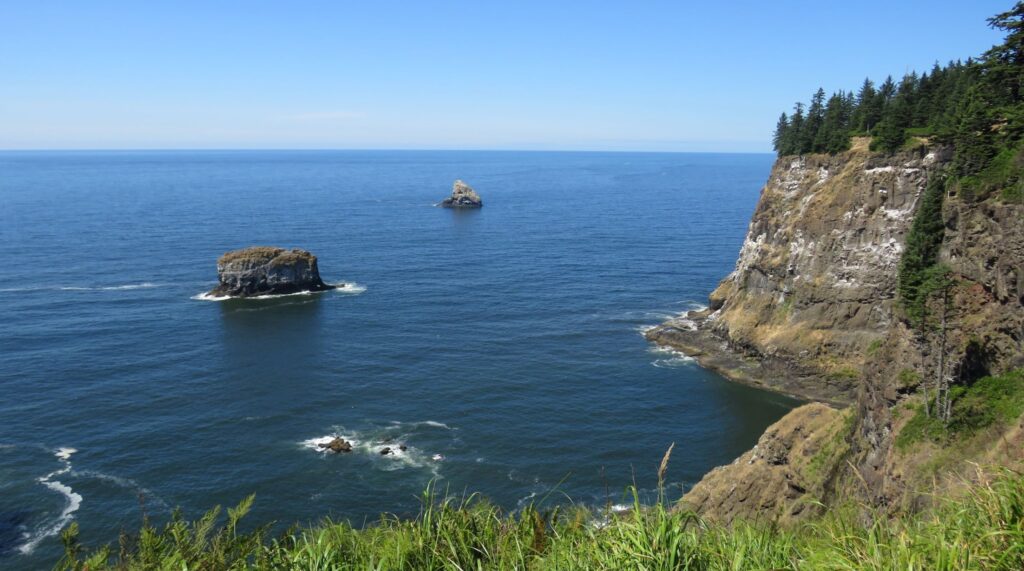
Our furthest north destination for the day was the Cape Meares Lighthouse on Tillamook Bay. This is a rather unusual lighthouse as you actually walk DOWN to see it! The lighthouse is only 38 feet tall, but sits atop the rocky cliffs at Cape Mears, more than 200 feet above the Pacific Ocean. It was active from 1890-1985.
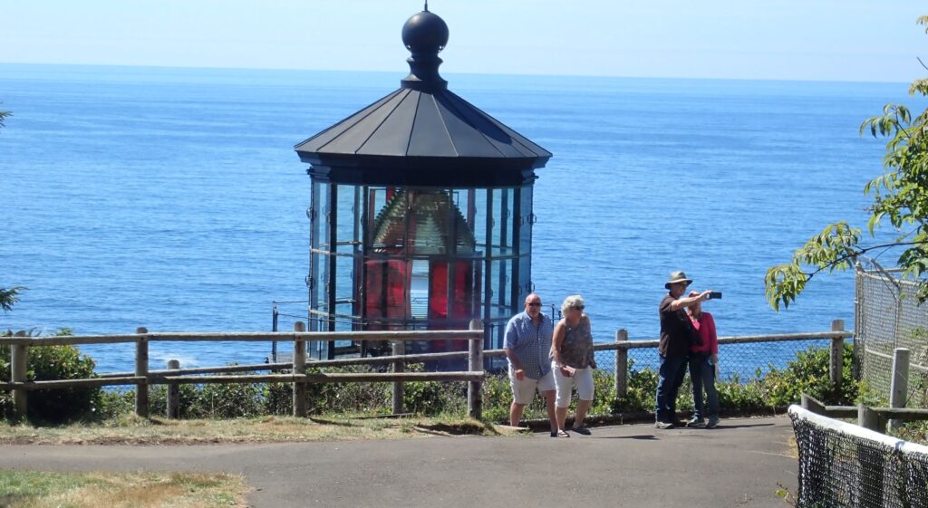
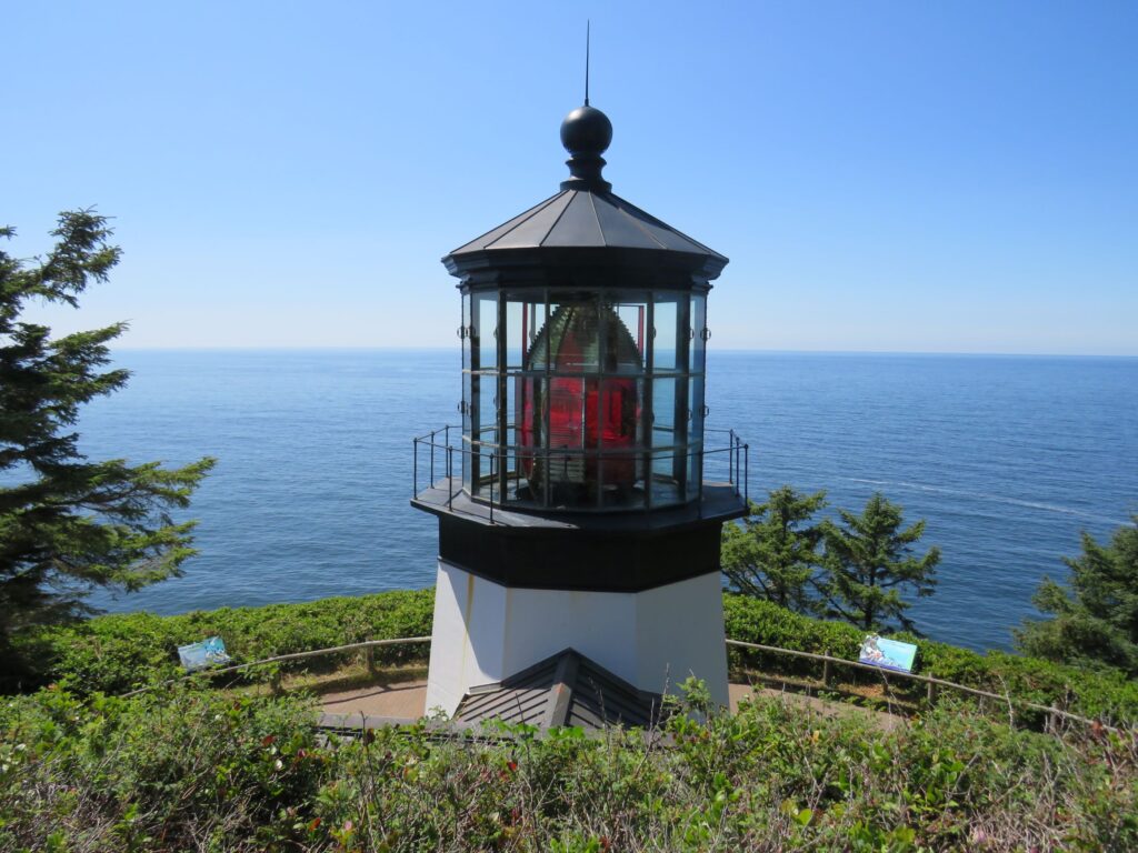
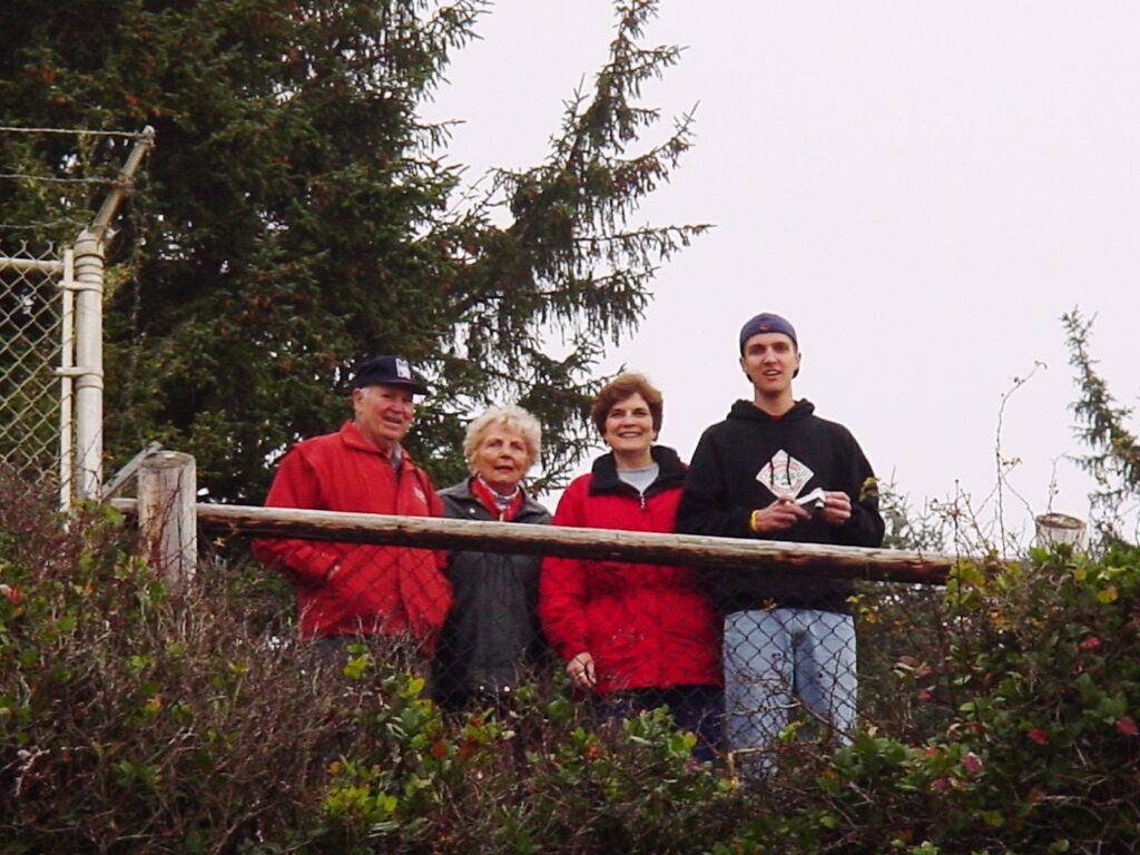
We were here during our Thanksgiving visit to Portland in 2004!
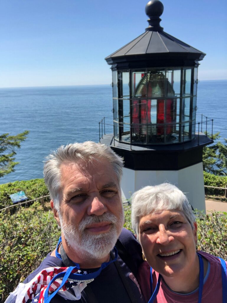
Jim took this photo too! Standing in the same area as 2004, but facing the other way!
More of the rocky coast – another visitor told us the big rock is called the Pregnant Woman Rock!
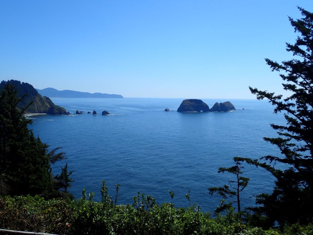
Can you see why?!

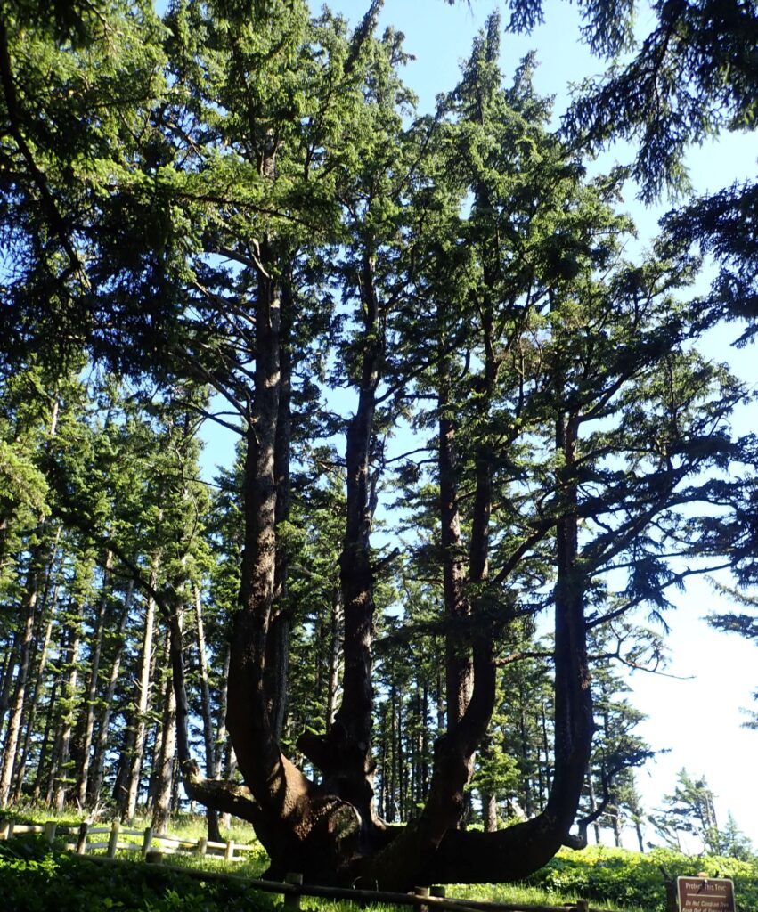
This Sitka spruce is known as the Octopus Tree. Estimated to be 250-300 years old – it is about 105 feet tall and more than 46 feet in circumference with no central trunk.
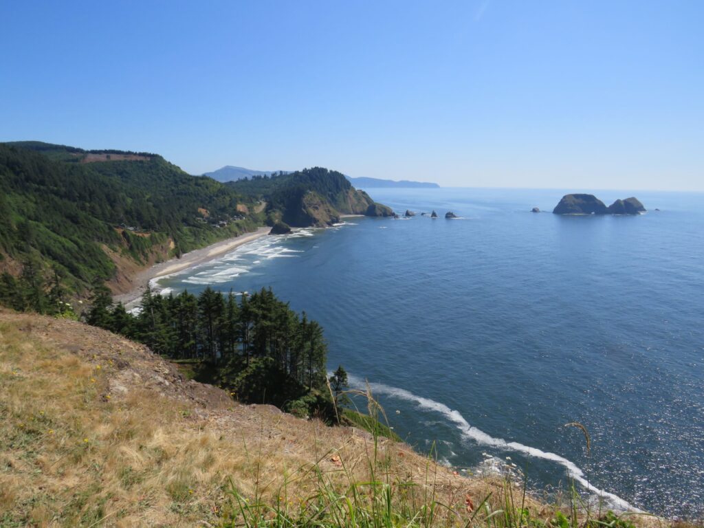
Friday we checked the tide tables and decided to go after lunch to revisit Cook’s Chasm and see if Thor’s Well was more interesting with a higher tide. But first we tried to locate the Cleft of the Rock Lighthouse. We couldn’t find a place to pull of the highway closer to mile 166 – but the coast here was awesome!
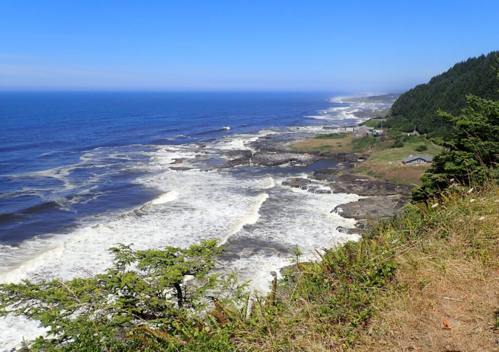
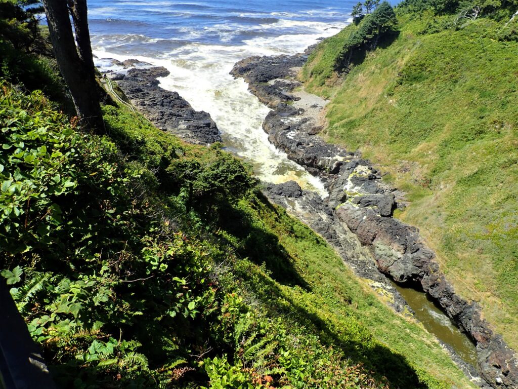
Then we stopped briefly at Devil’s Churn for another look. It is a much longer chasm than we realized from our visit here on Saturday. We must not have gotten a photo from this higher viewpoint since we parked in the lower parking area, and then walked down the paved path for a closer look.
As it turned out, when we got to Cook’s Chasm, the seas were a lot rougher than our last visit here, and the tide was higher.
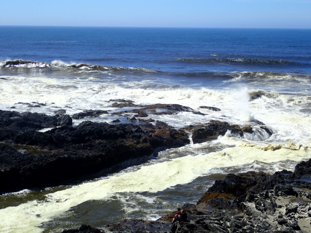
We went down the paved path to a lower viewpoint – which we did not do previously.
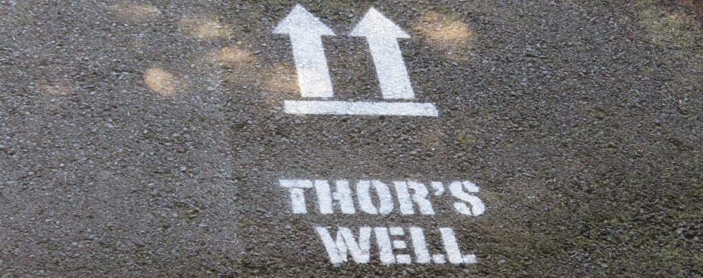
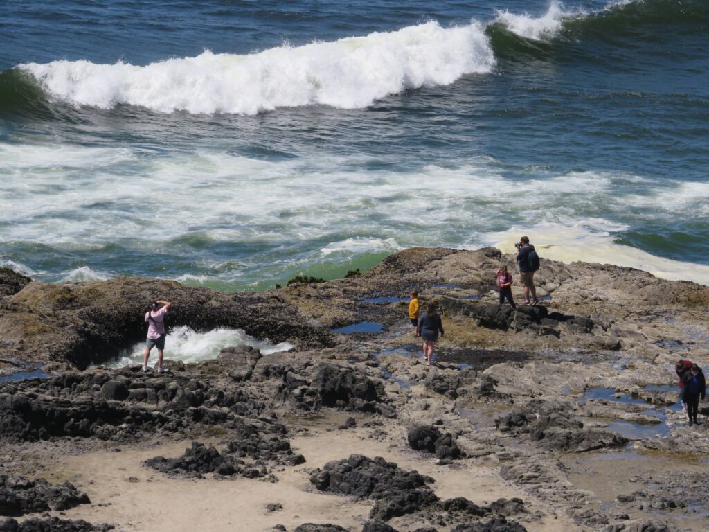
Linda stayed at a viewing platform as she didn’t want to take a chance going further down some stairs and walk among the rocks; her ankle is getting better, but… Jim got an up close look at the “well” – he is in the plaid shirt!
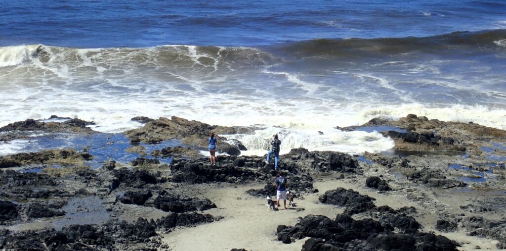
Thor’s Well fills up…
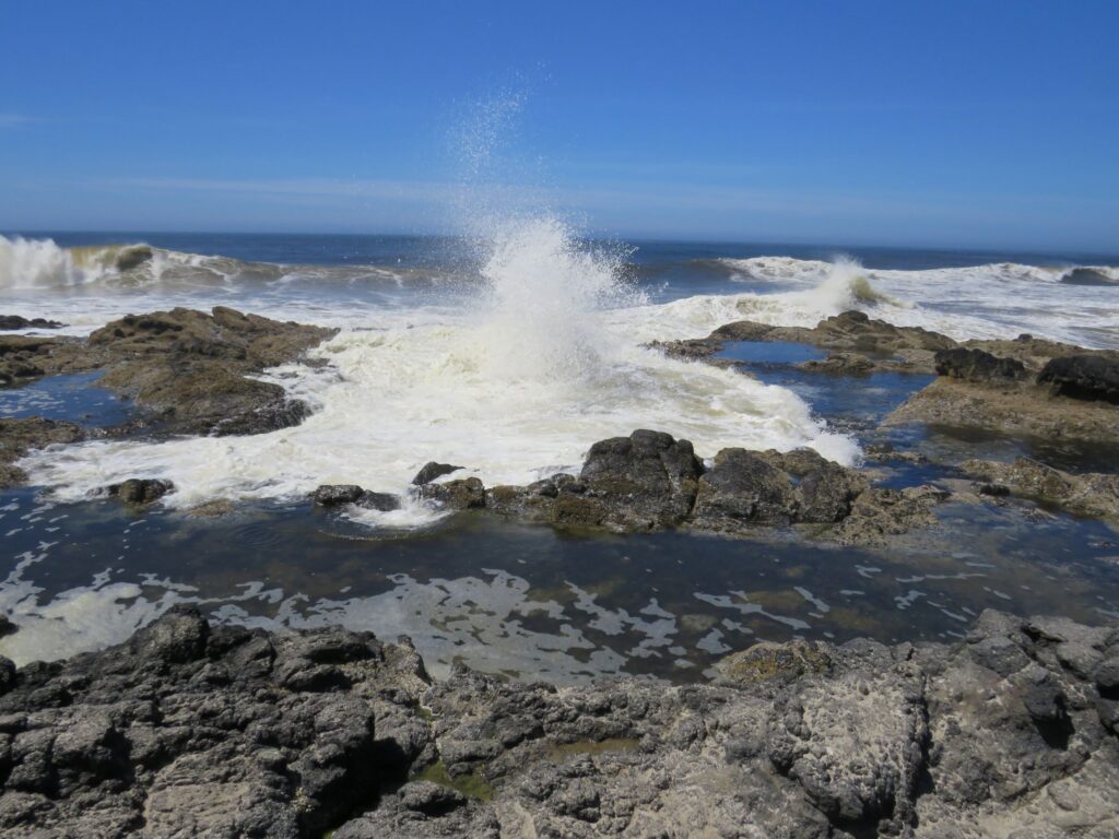
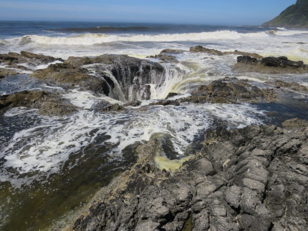
… and then empties out, looking like its nearly bottomless!
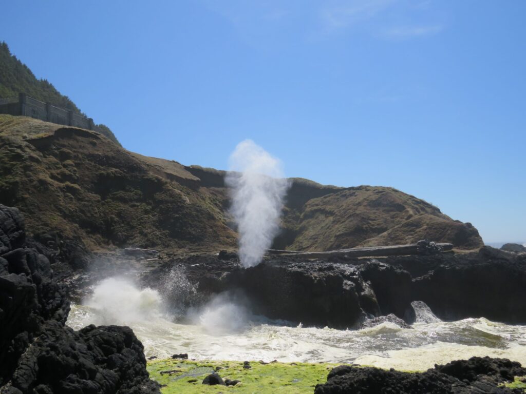
And then there was a spouting horn – it makes a really cool thundering noise when it goes off!
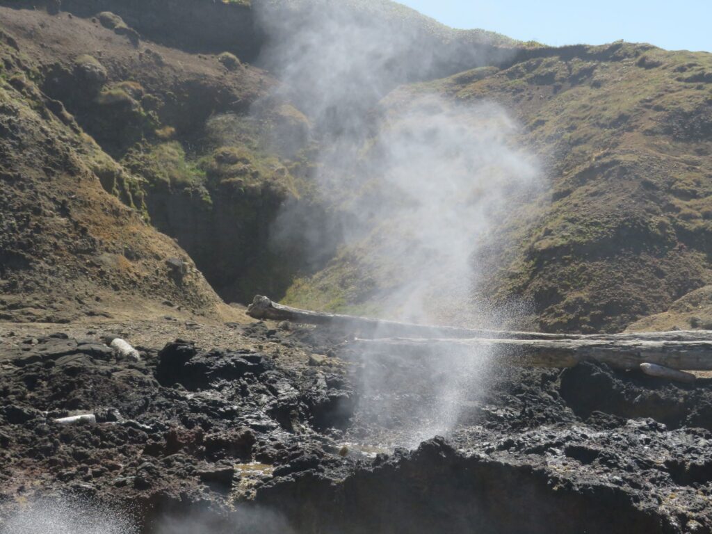
There was a whale just off shore that came up for a breath a few times while we watched the waterworks – Jim caught a bit of its body…
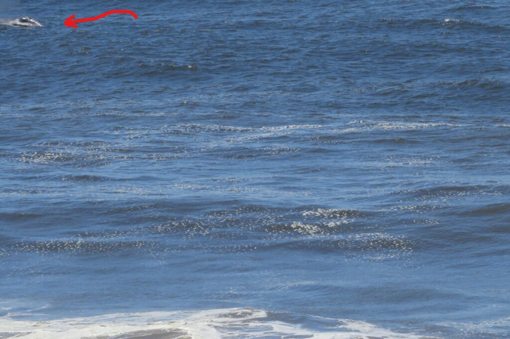
This video shows a small blast from the whale if you watch closely 9 seconds in! It was worth the short drive to catch all of this action at Cook’s Chasm!
Sunday – it was 100 days ago that Jim retired, we have been living in Acey for 112 days and left Nashville 74 days ago! We got up just in time to Zoom with our Sunday School class at 7:30 PDT as we finished our study of Galatians. We are thankful for the grace of God thru Jesus Christ that all we need to be right with God is faith in Christ! We worshipped via YouTube with our home church in Nashville – Stephens Valley Church.
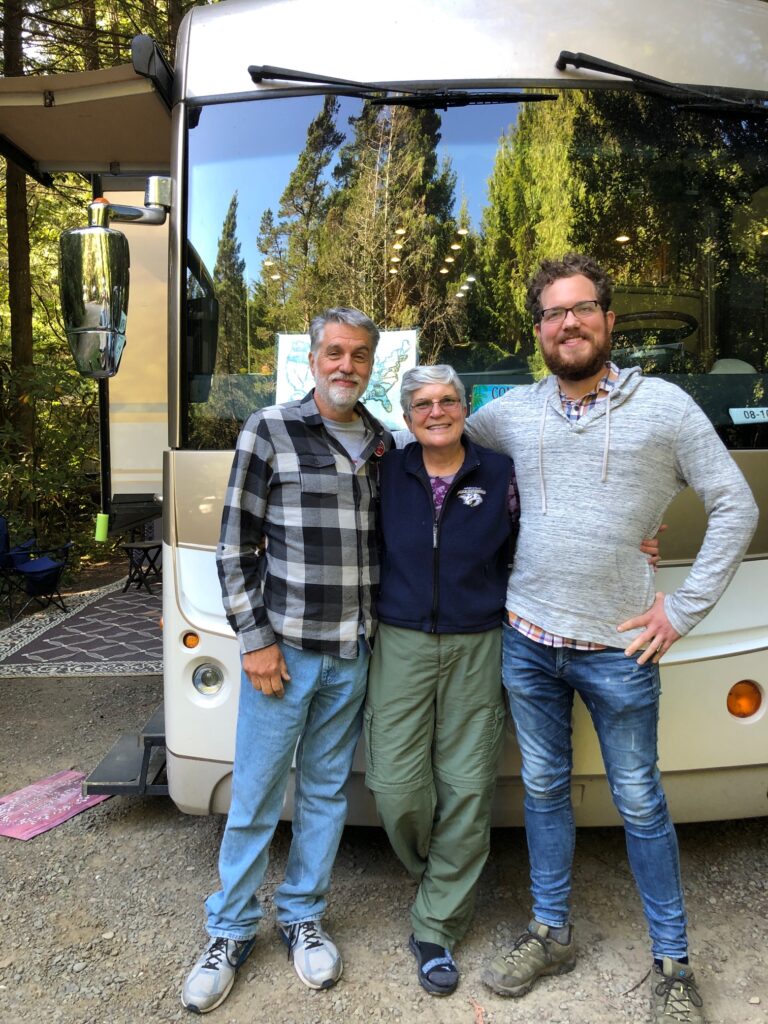
After lunch, we had a visitor. My nephew Steve drove down from Portland to see us!
We fixed dinner and prepared for our departure in the morning. We are headed to Medford where we hope to ride bikes and will visit Crater Lake!
![]()
Told Floyd about your ankle and knee, he said–DUCK TAPE !!!
Have been saving some of your pictures. They all really look great. Feel a little envious but happy for your travel log !!! Keep safe. See ya on the blog 🙂
Glad you are keeping up with us! We are taking way too many photos – hard to choose just a few for the blog… The ankle is getting better!
Magnificent photos!
Thanks Peggy!