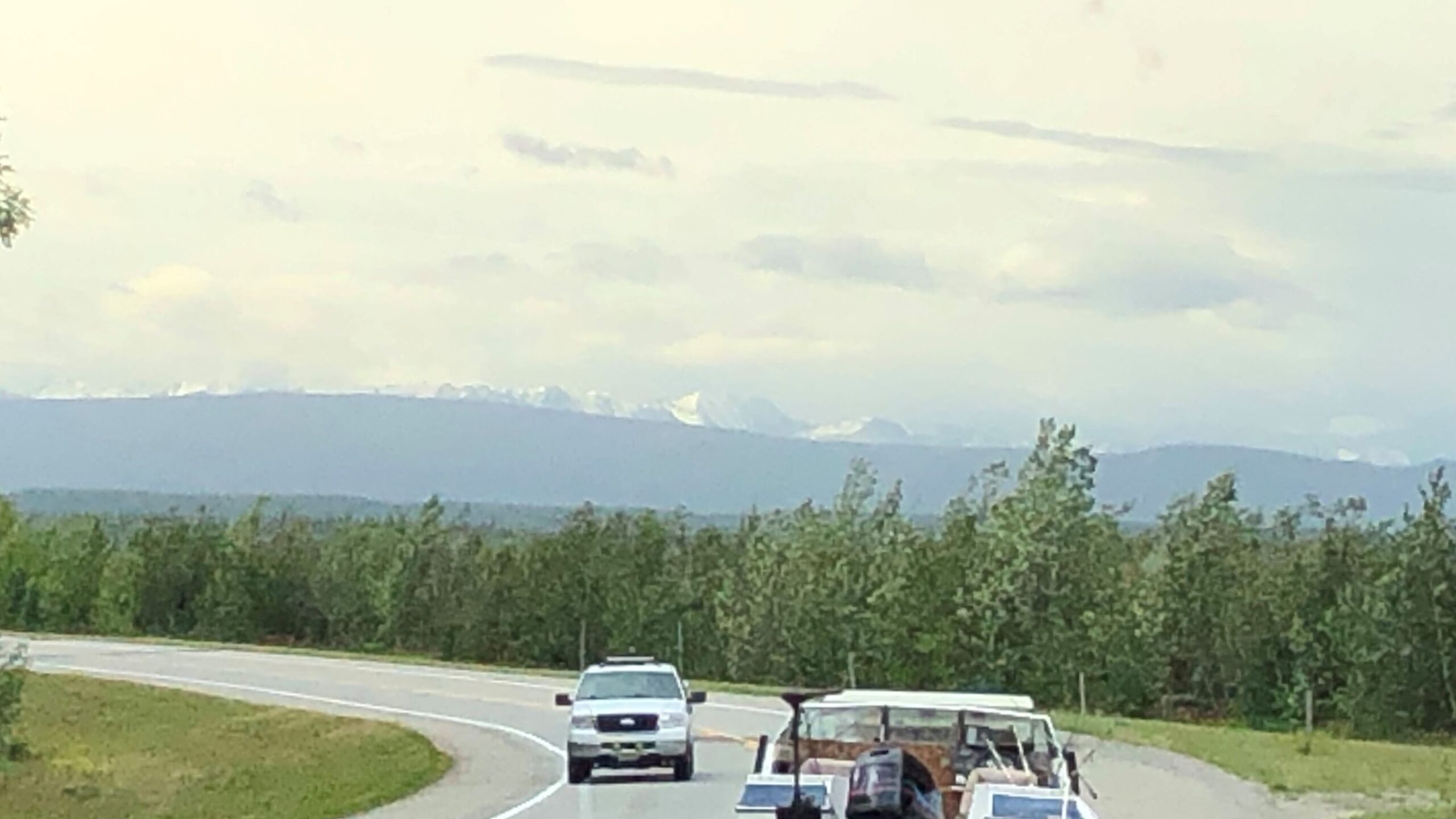
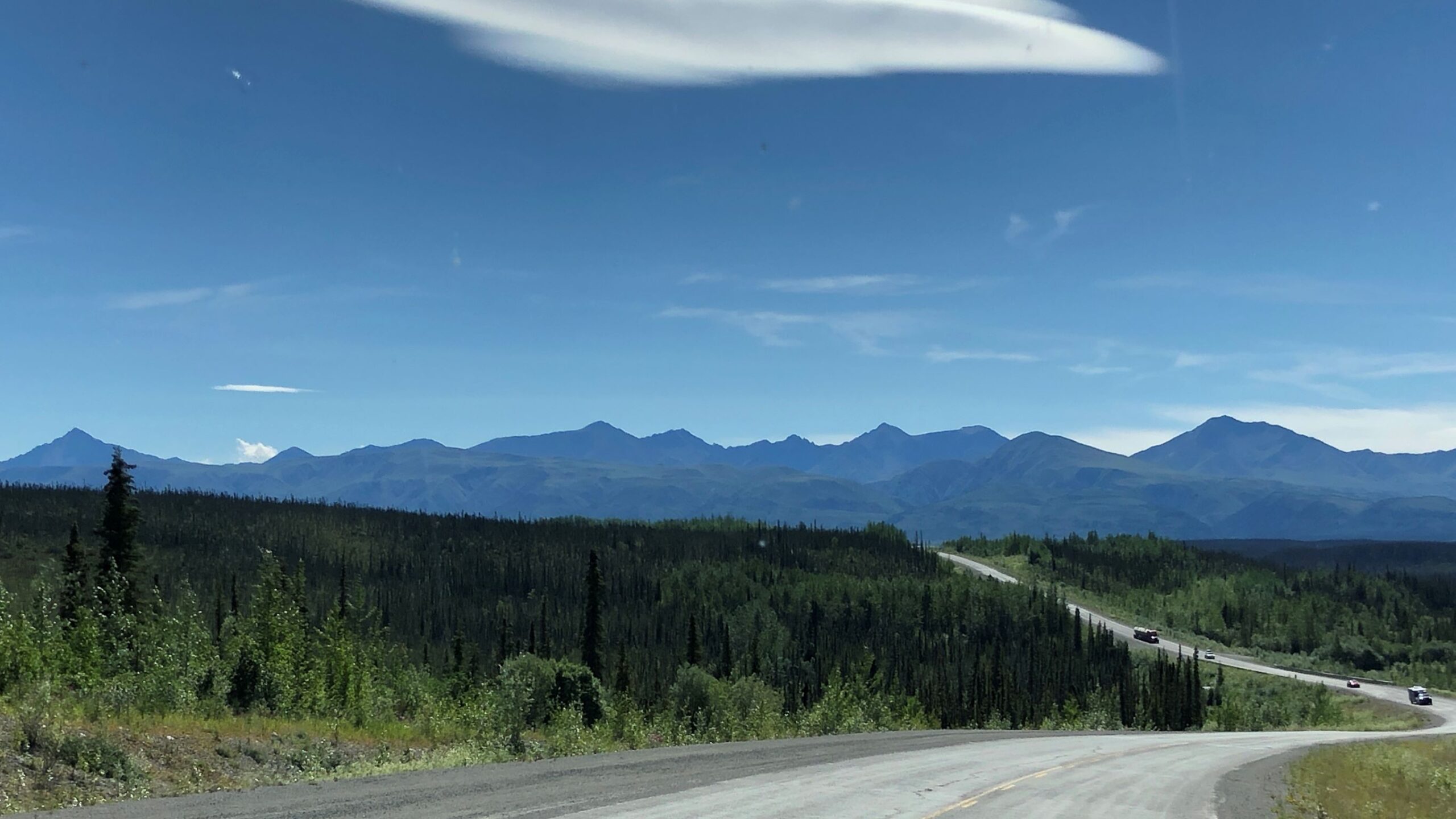
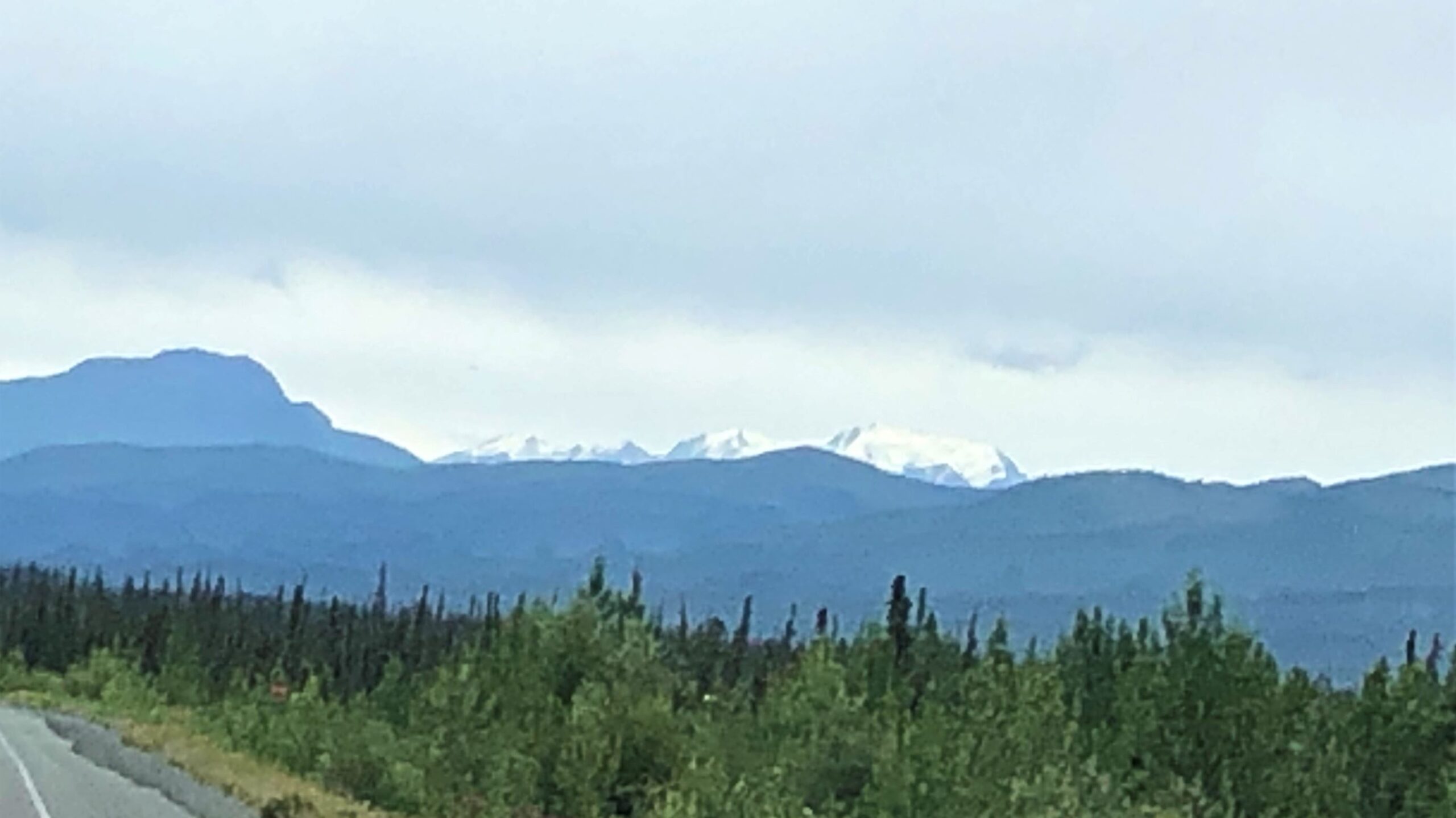
Monday July 25, we left Fairbanks at 9:20 with 89,930.8 miles on Acey and 104,899 on Thor. About an hour down the road, in the distance, we saw the huge white peaks of Denali in the distance!
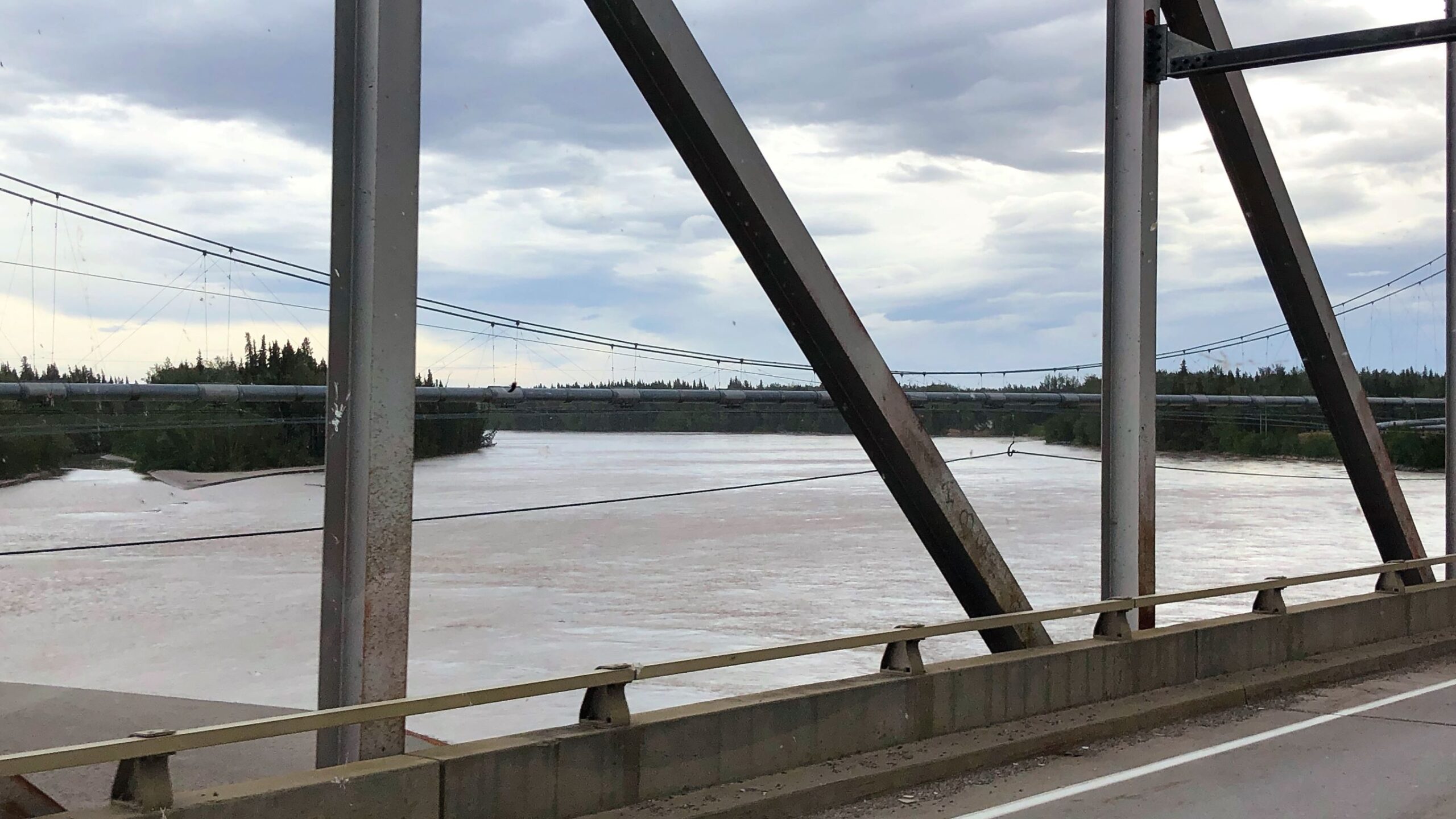
We came to a bridge and saw the Alaskan Pipeline also crossing the river.
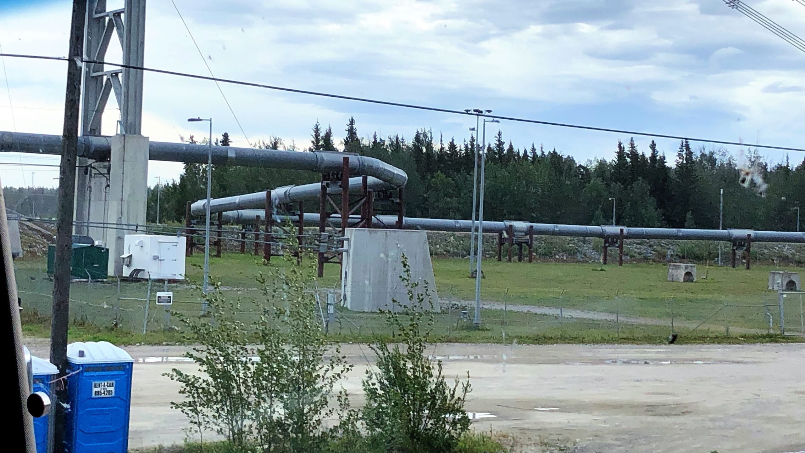
On the other side of the bridge, we saw where the pipeline zig-zagged a bit – which allows for movement due to temperature changes and also earthquakes.
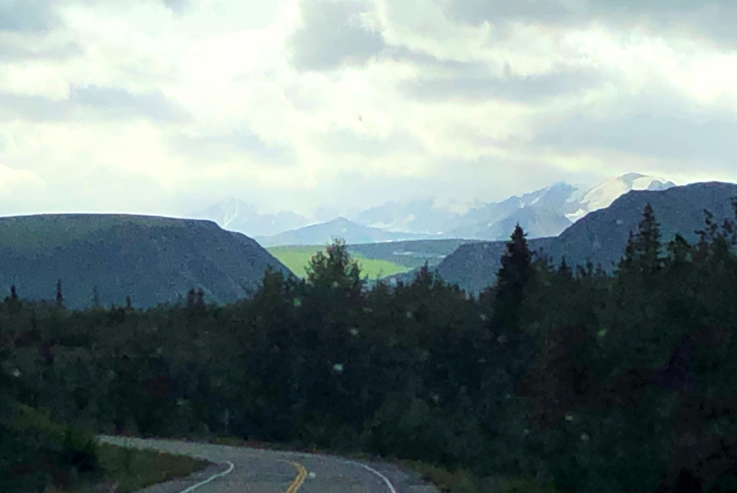
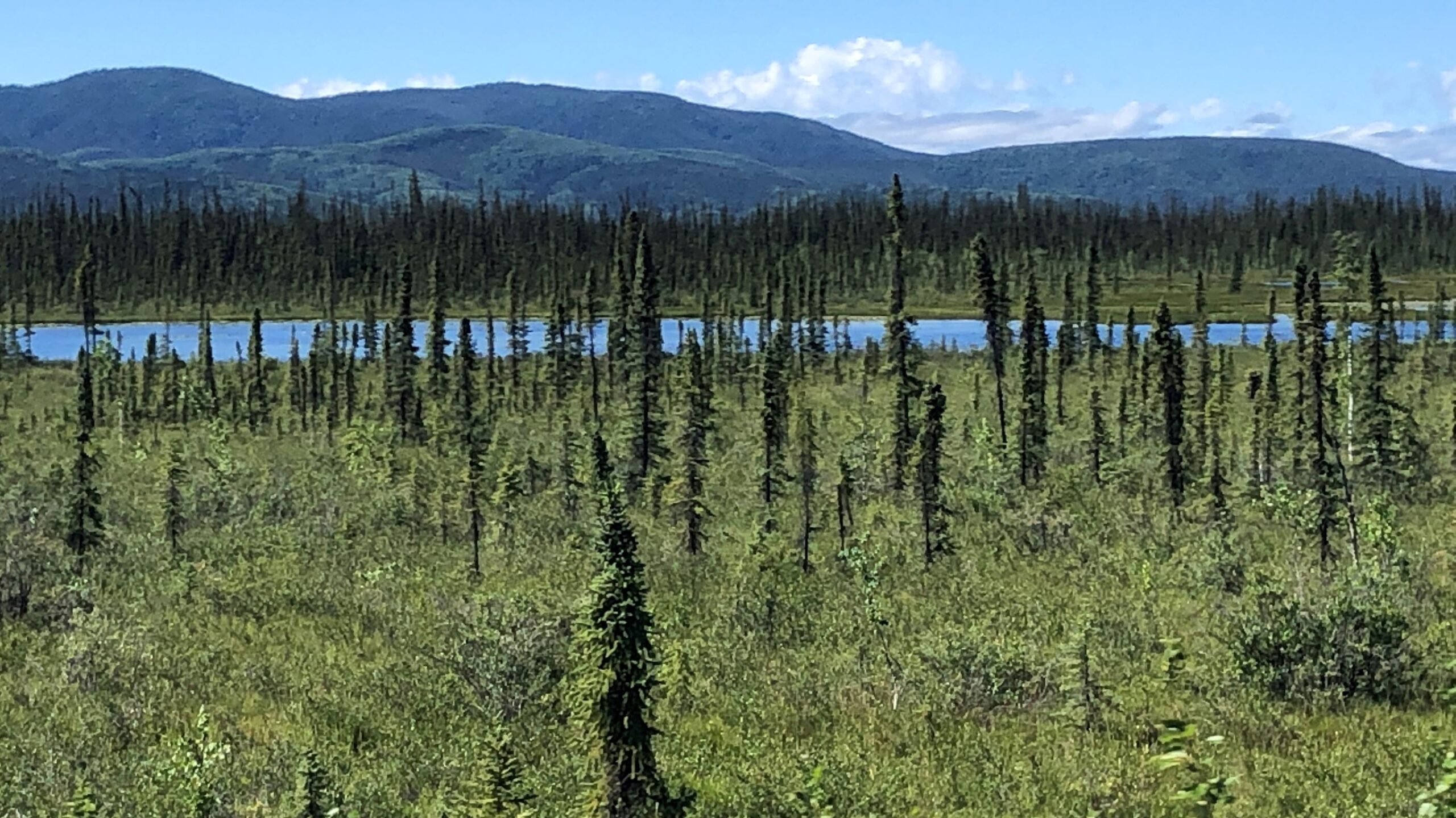
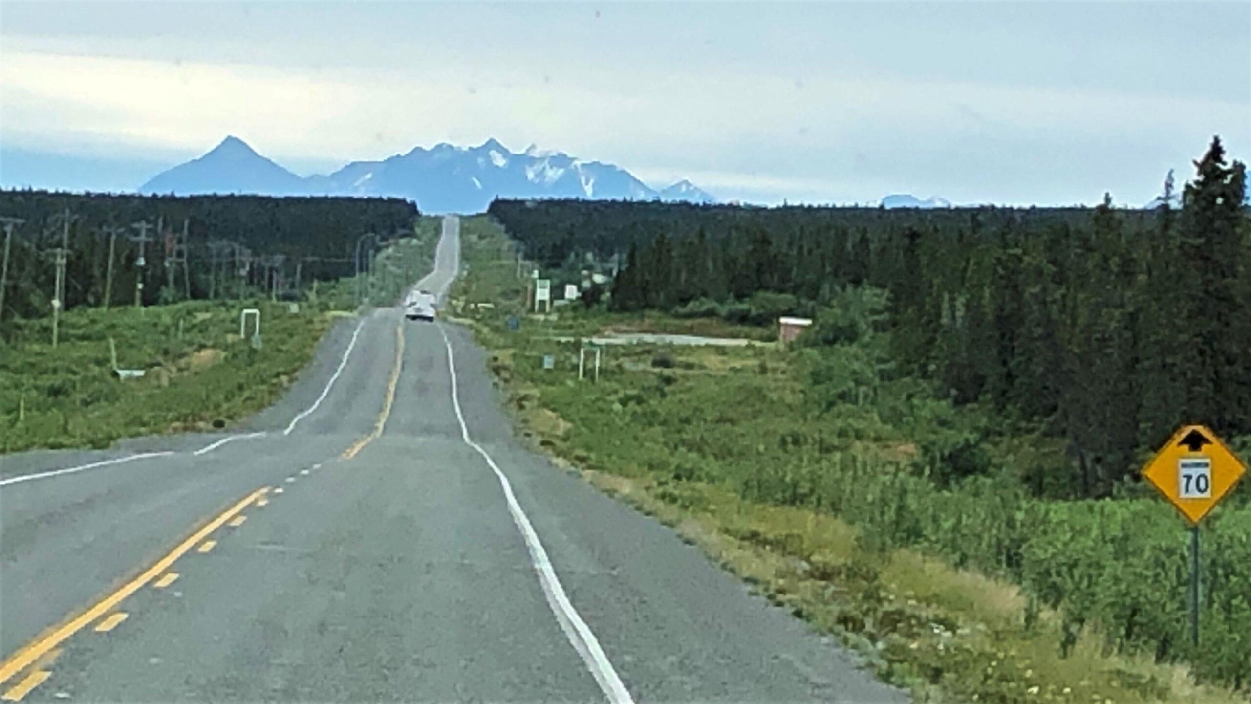
During a lot of today’s drive, the road was straight for many miles!
We encountered a swarm of bugs to decorate the windshield, the scenery was still awesome!
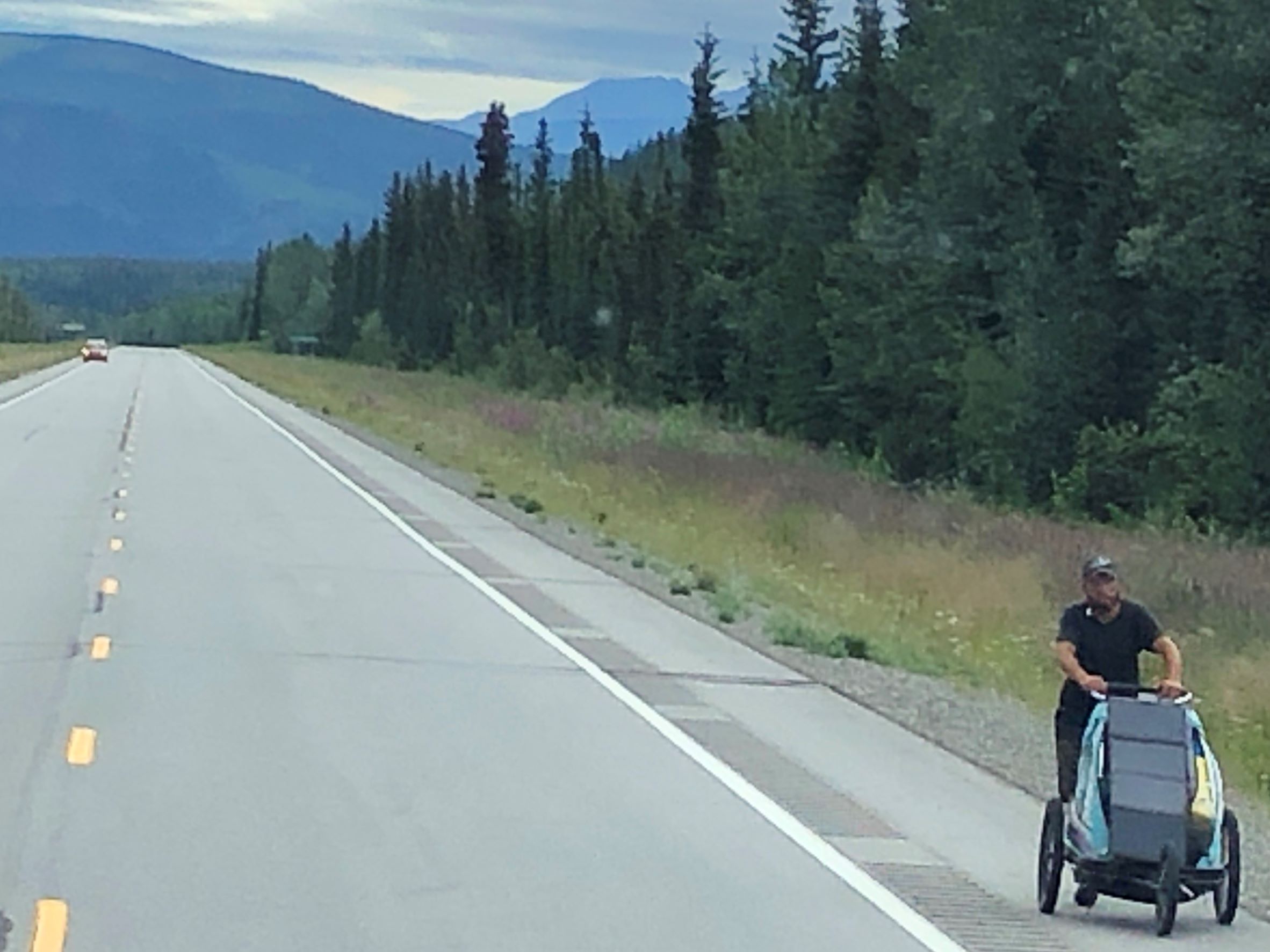
We saw a fellow walking with a buggy like this earlier on our trip – wonder if it’s the same guy?
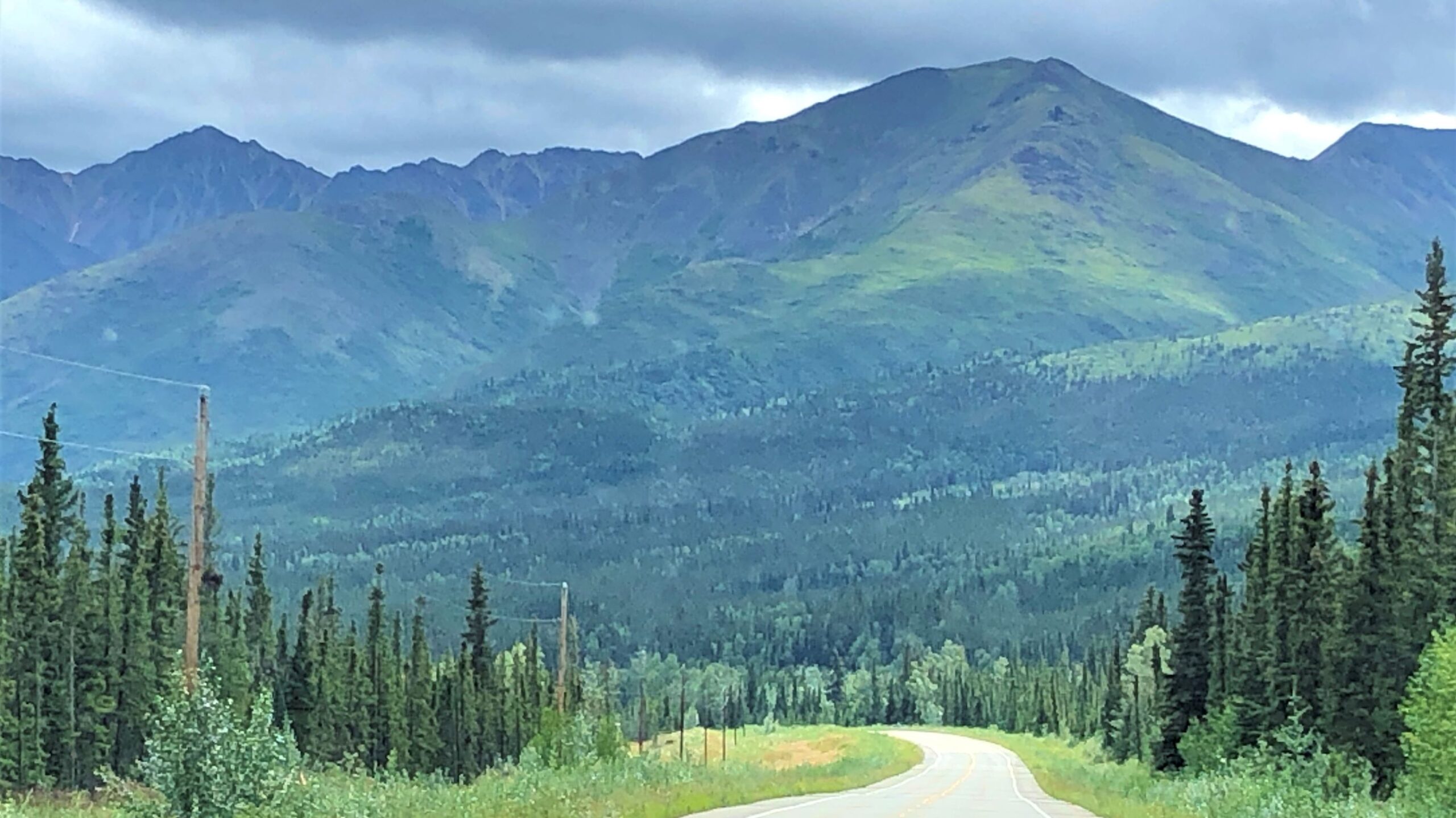
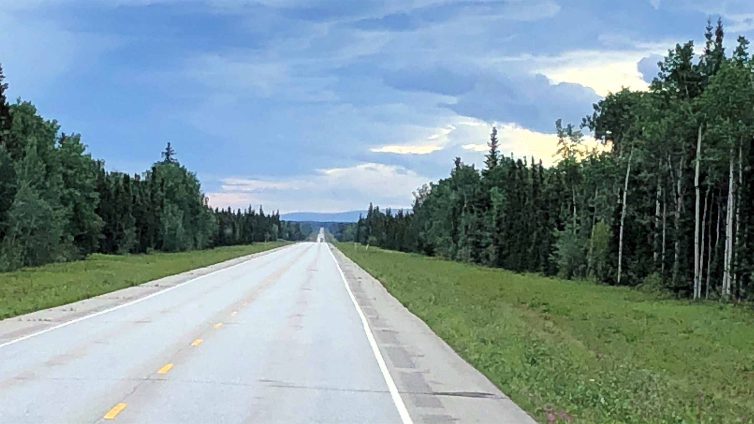
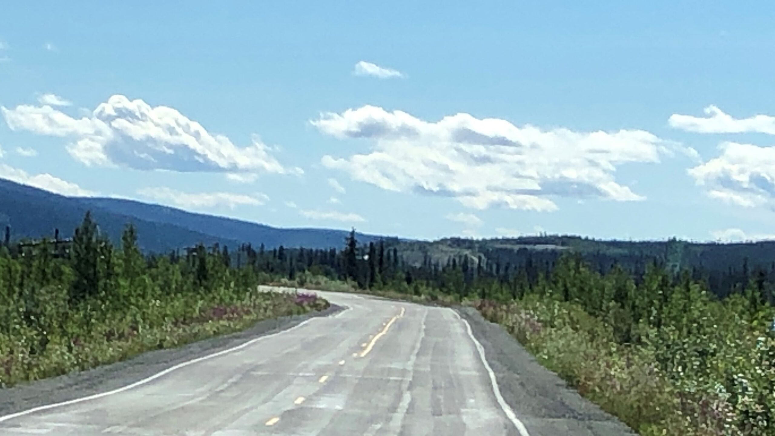
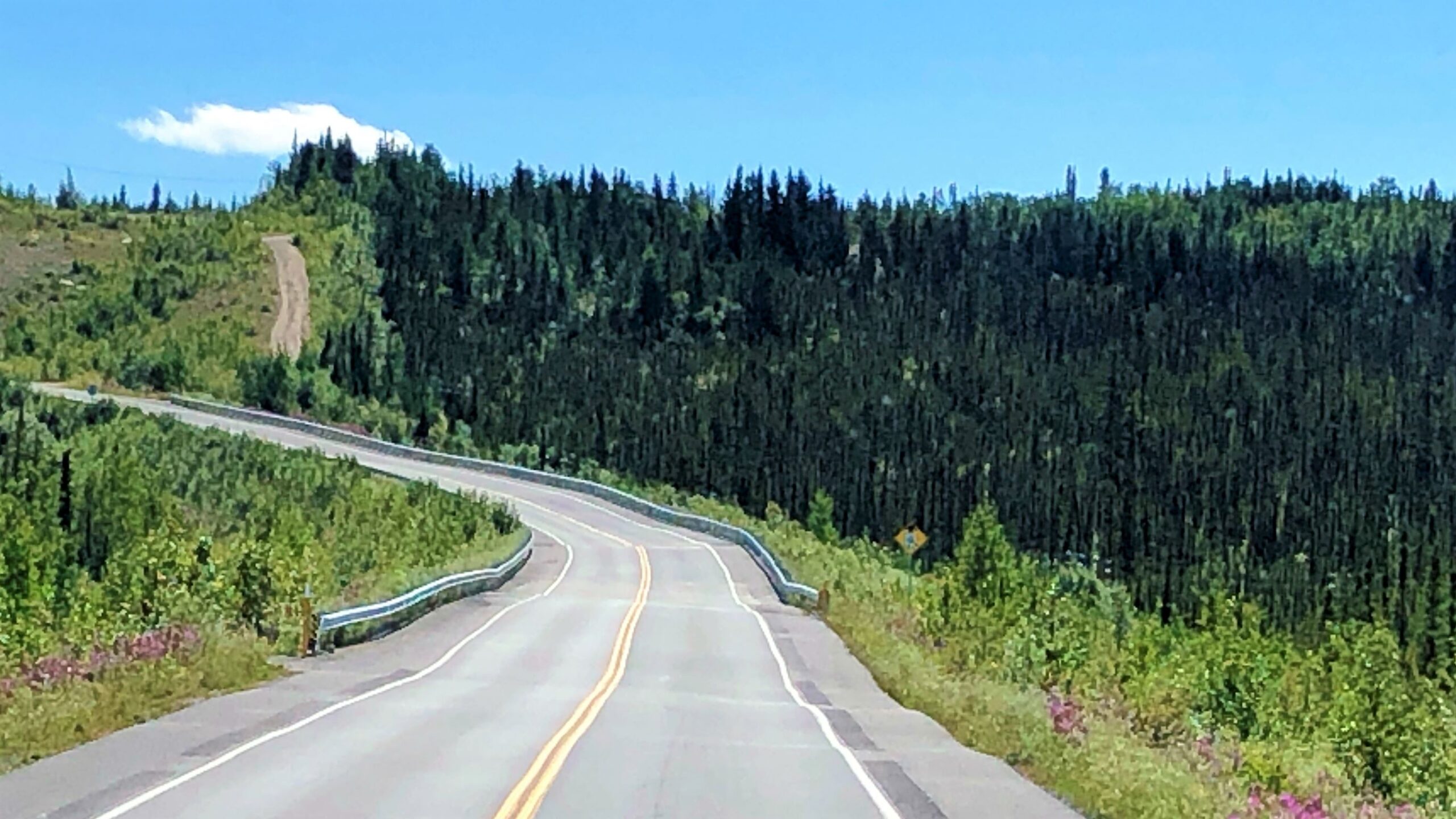
The drive was pleasant with no construction zones – which may be a first!
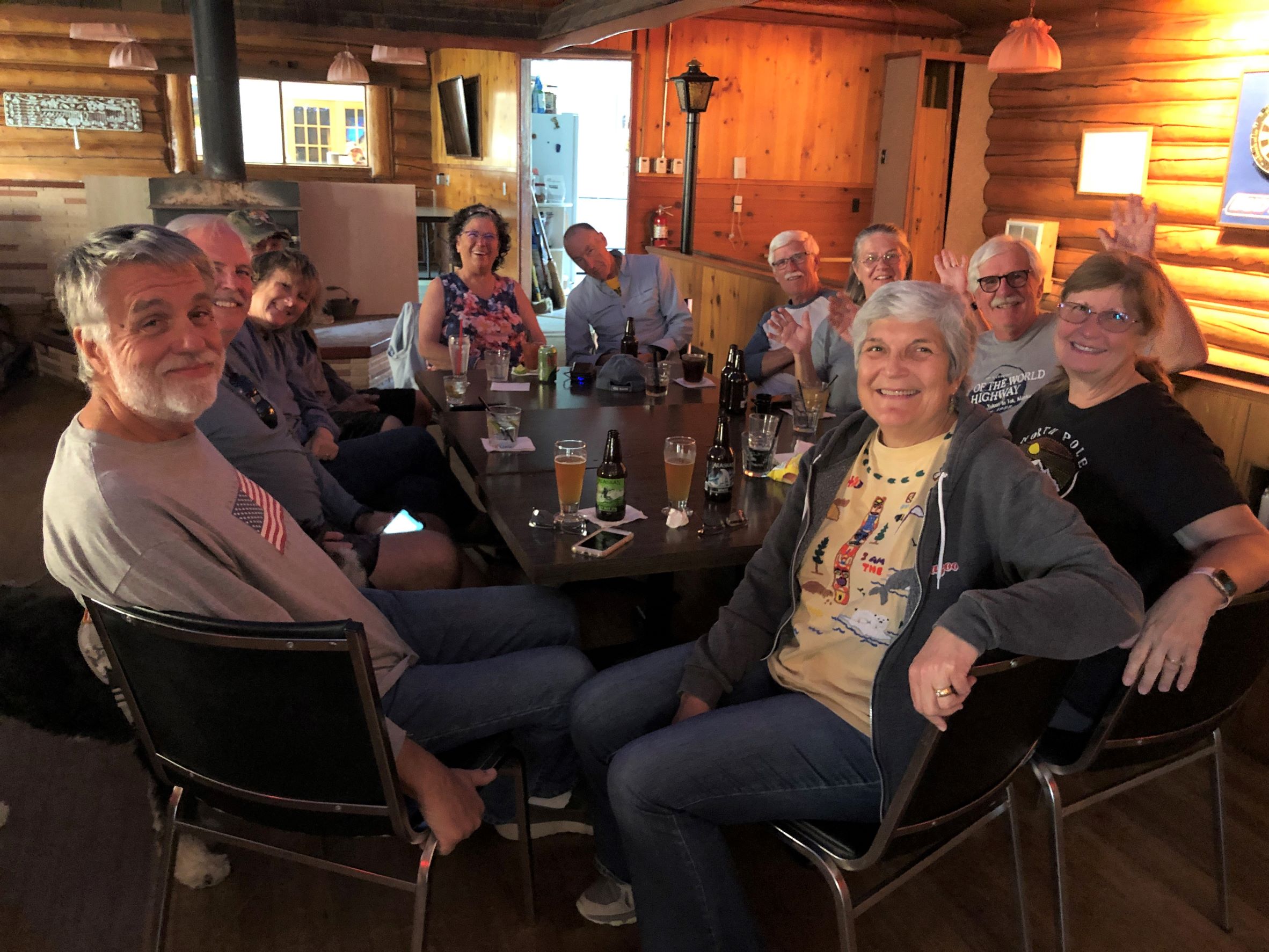
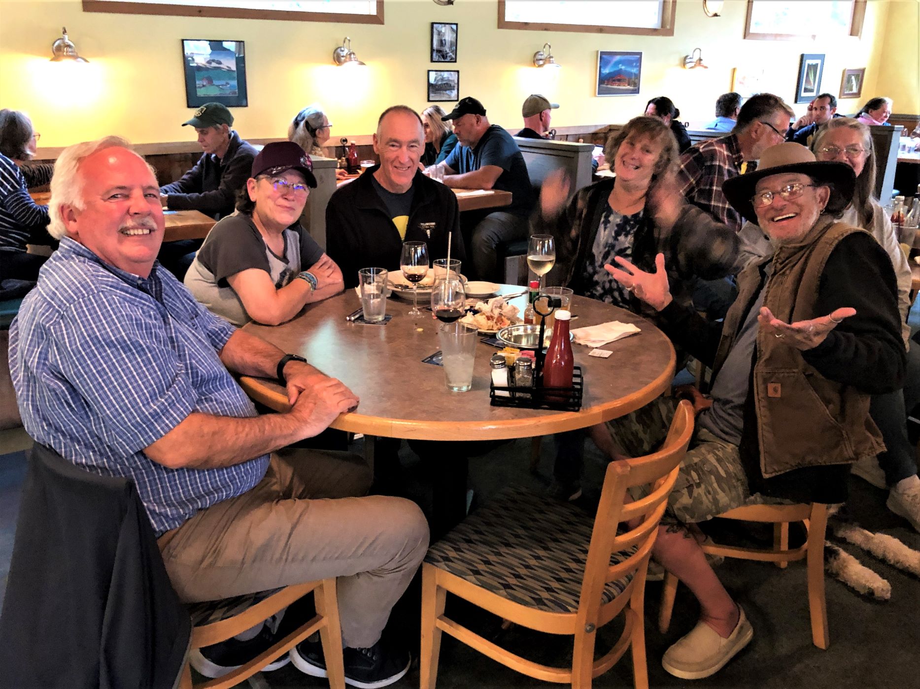
We arrived at Tundra RV Park in Tok, AK at 1:45 and made lunch. Several of our group gathered at the bar for Happy Hour. We fixed a salad with shrimp for dinner and called it a night!
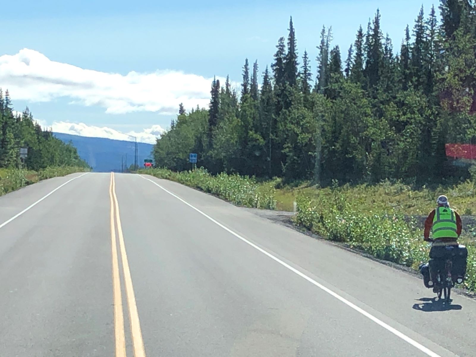
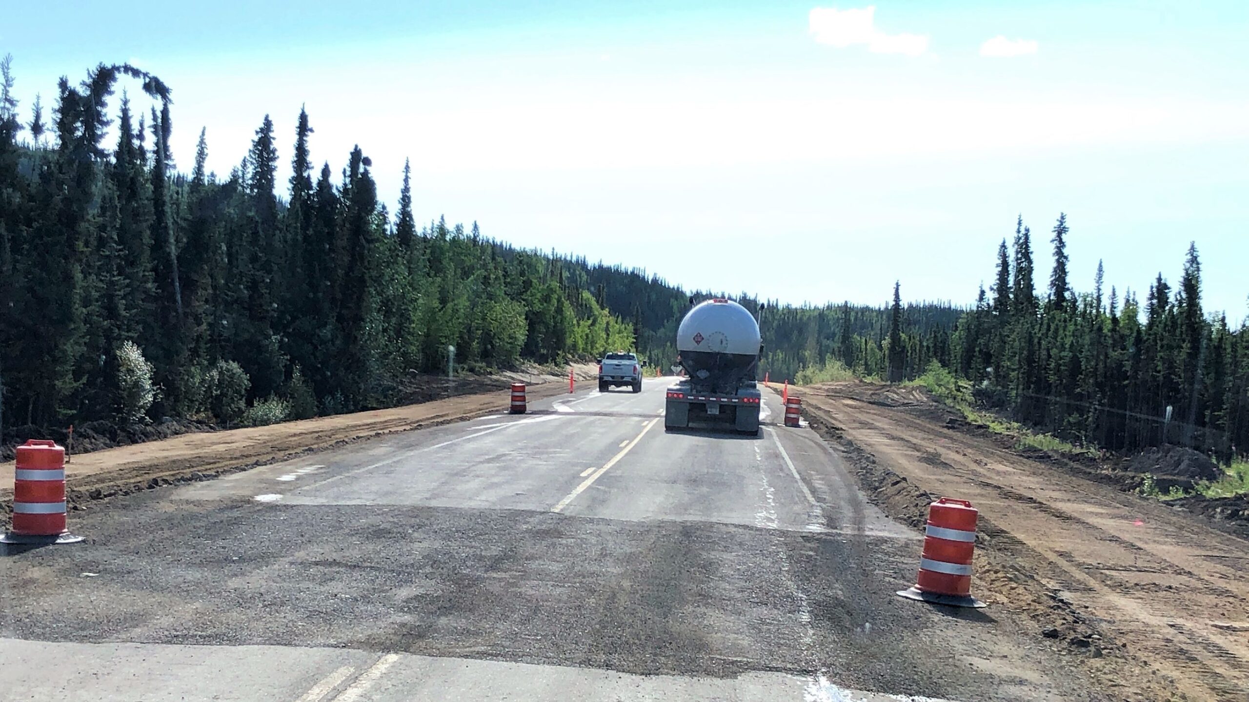
Tuesday July 26, we left Tok at 9:40. Acey has passed 90,000 miles now; she has 90,129.8 and since we did not have to disconnect Thor, he still has 104,899 miles. Our trip today is somewhat of a short drive, so we didn’t think we needed an early start. We stopped for diesel right by the RV Park and got underway. The road looked good – and we saw another bicyclist.
Our opinion changed 20 minutes later! More construction… (A real “first world” problem…)
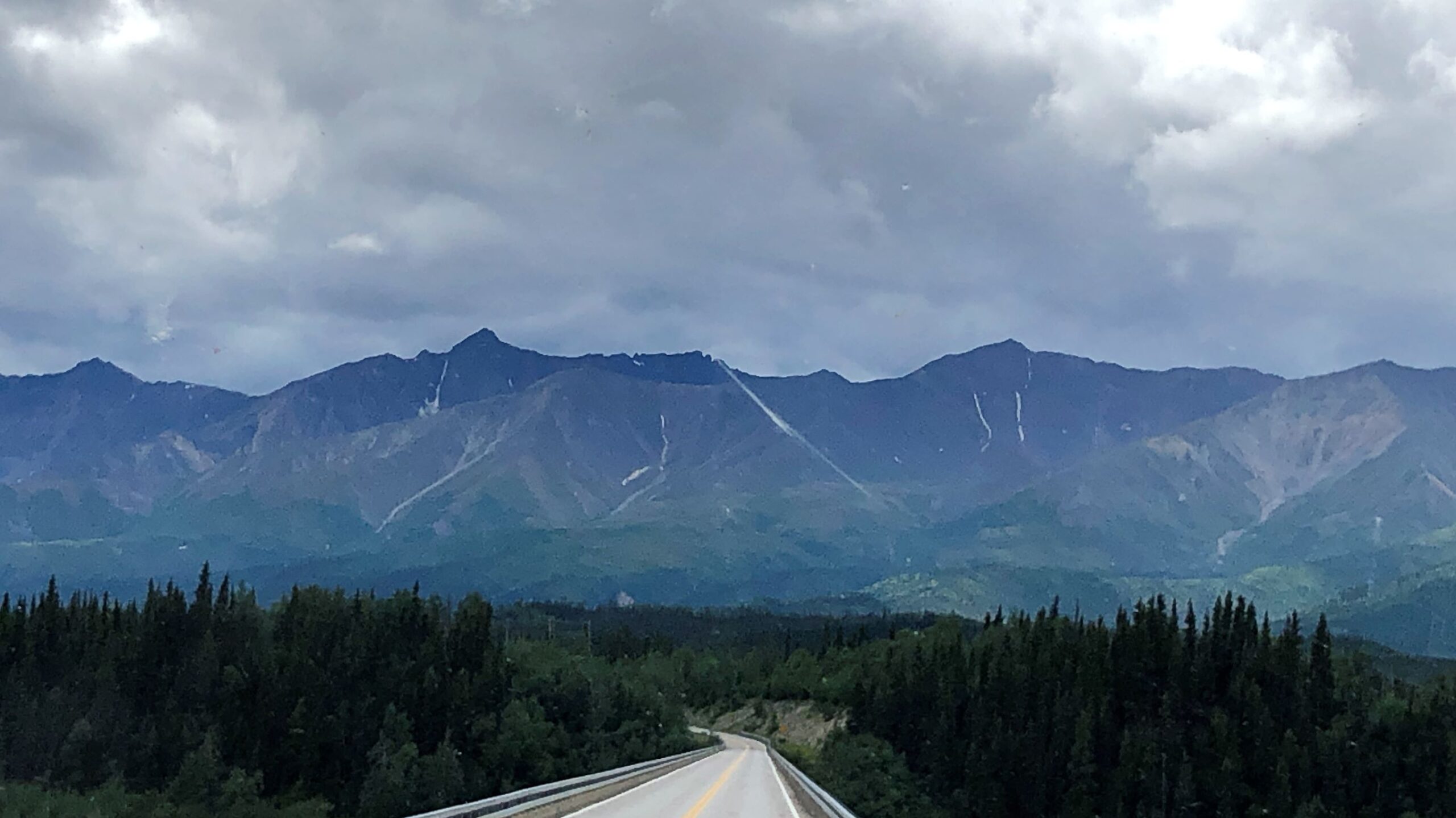
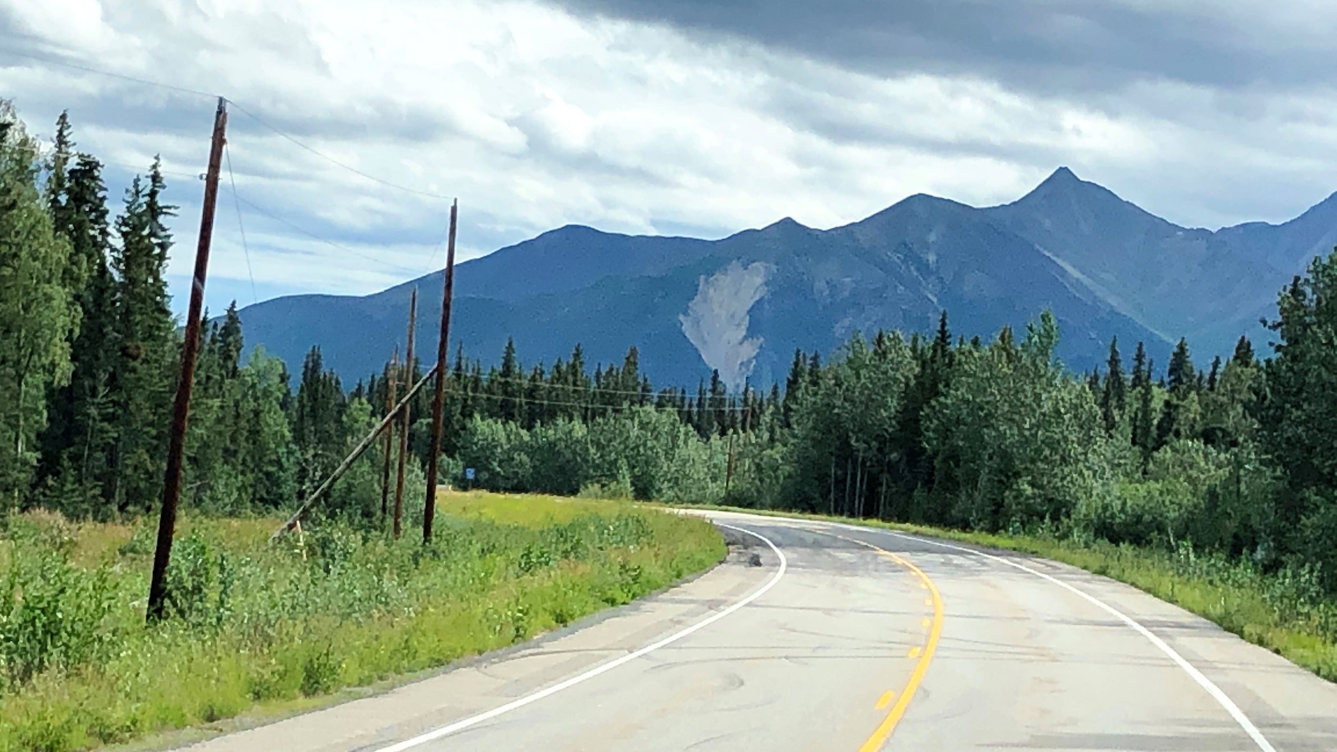
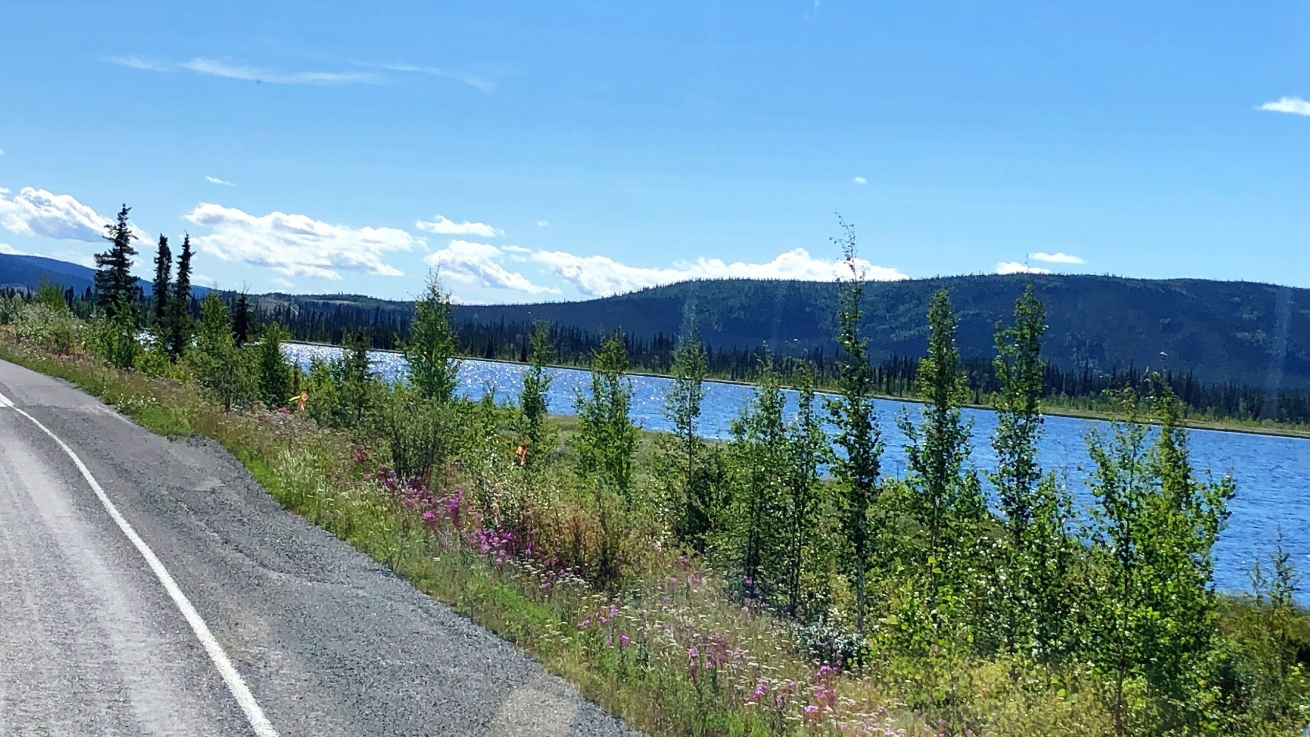
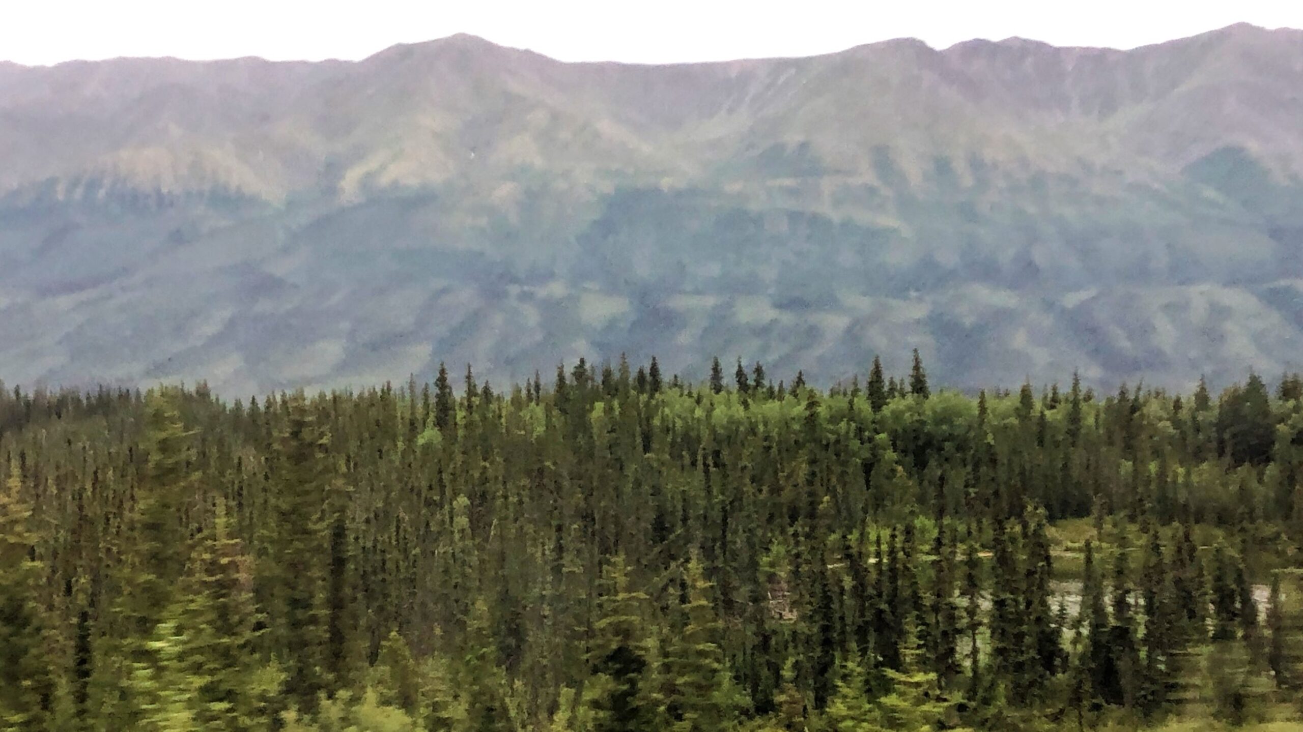
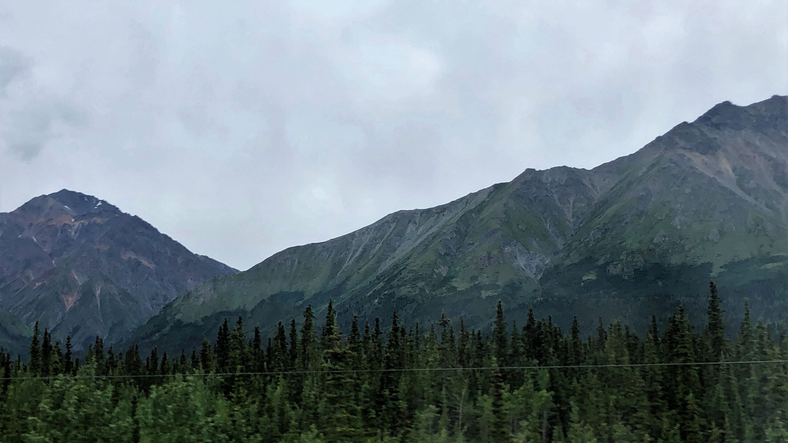
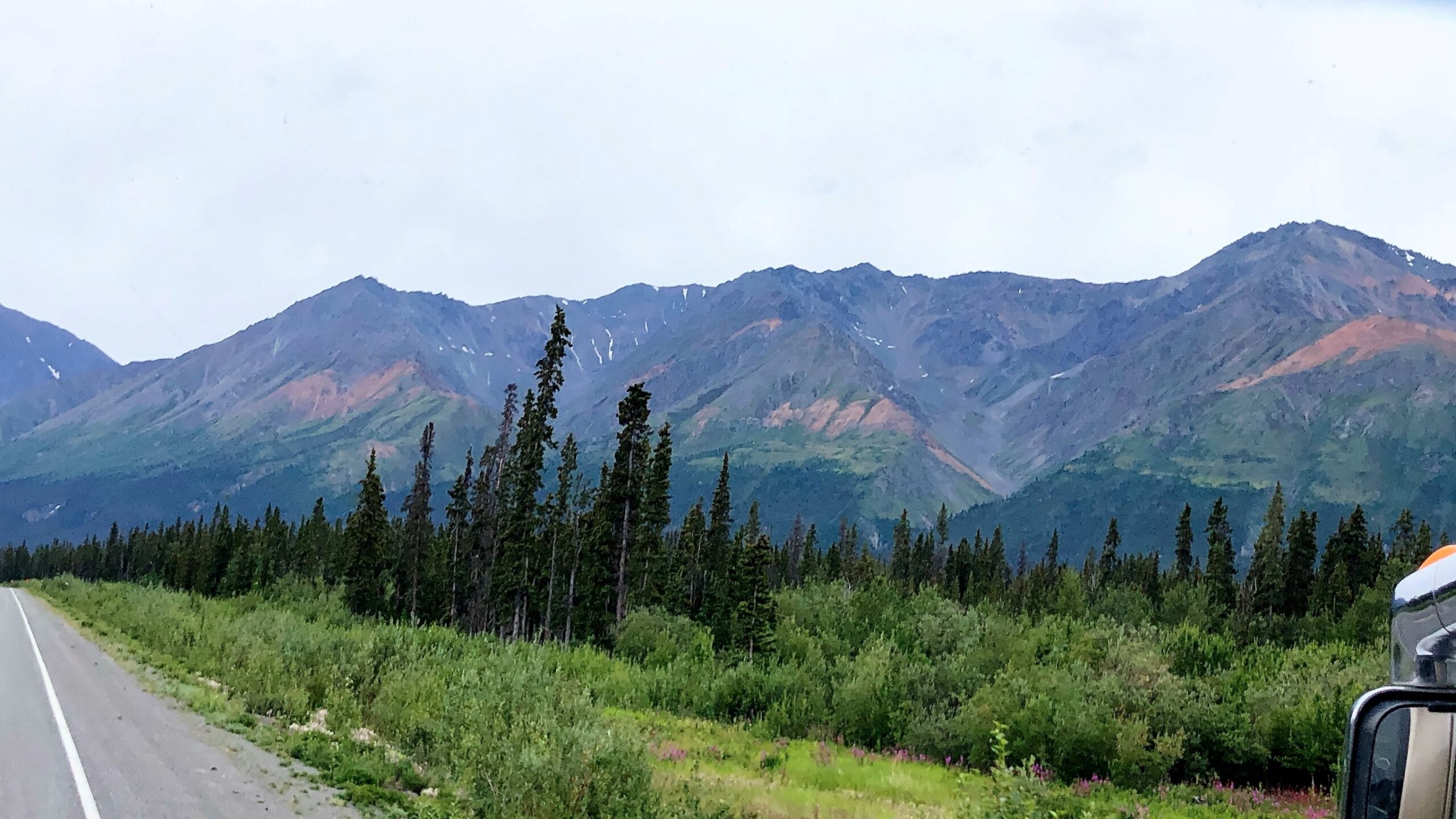
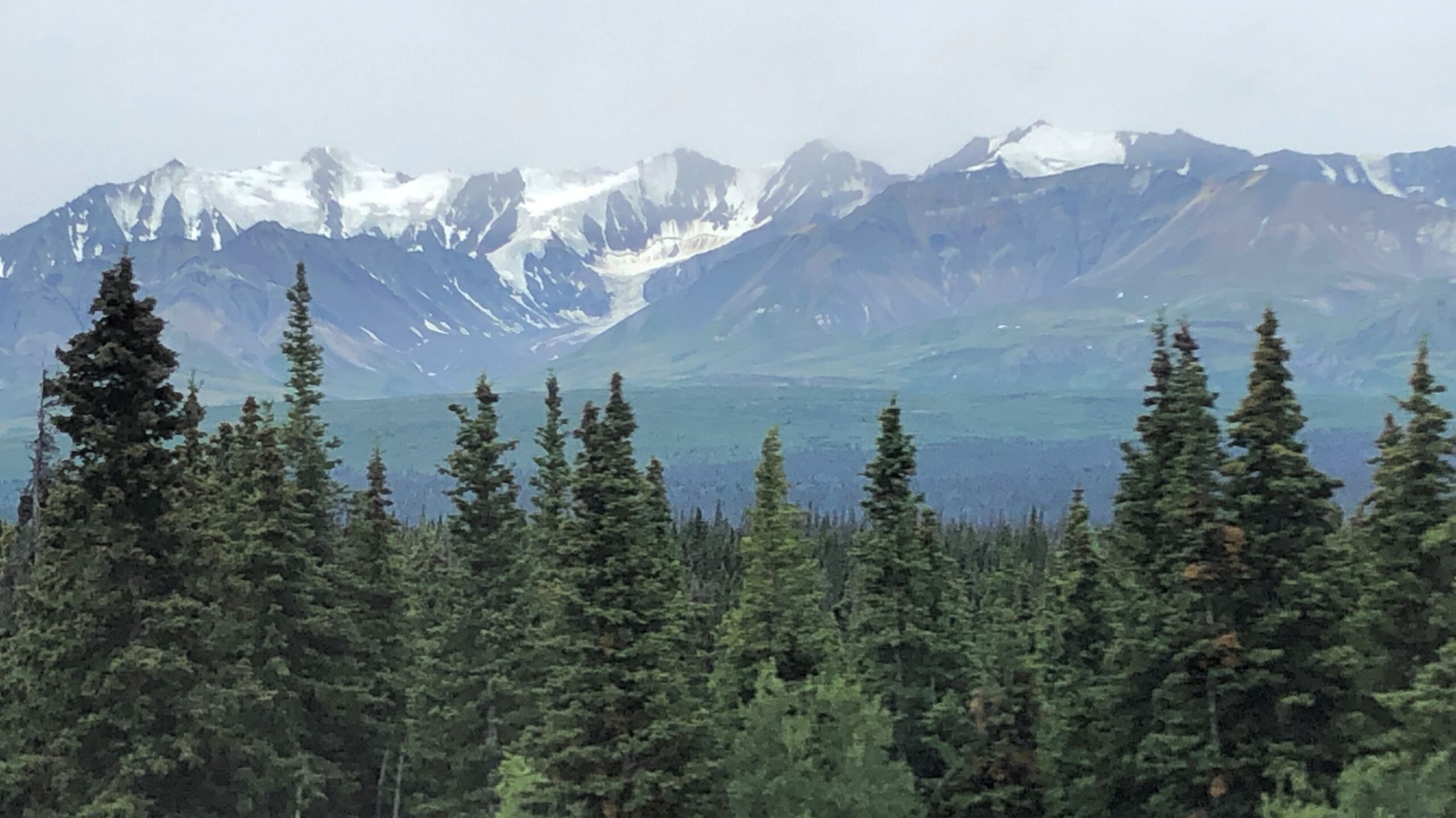
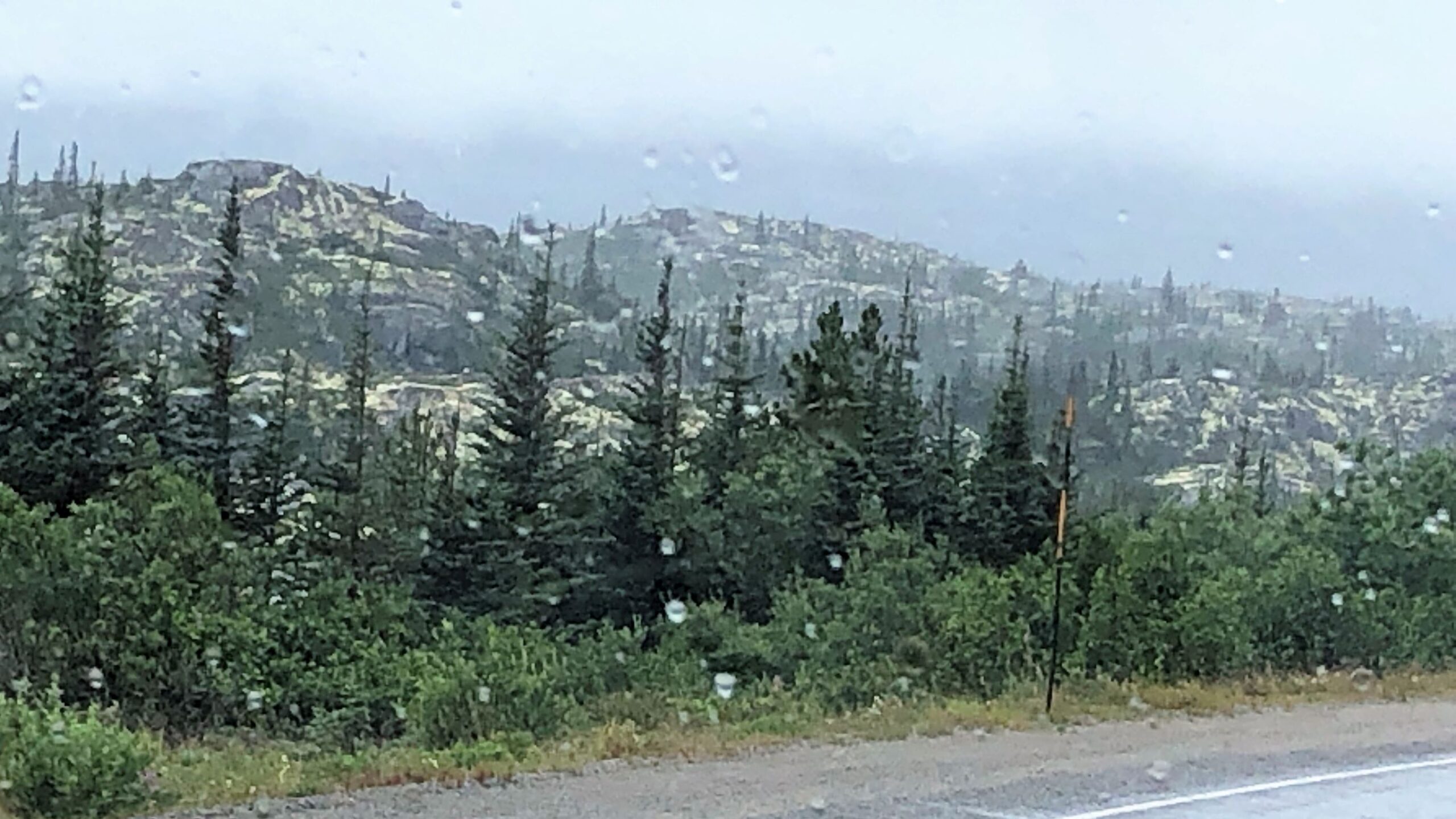
But the scenery is still awesome, and it was a beautiful clear day!
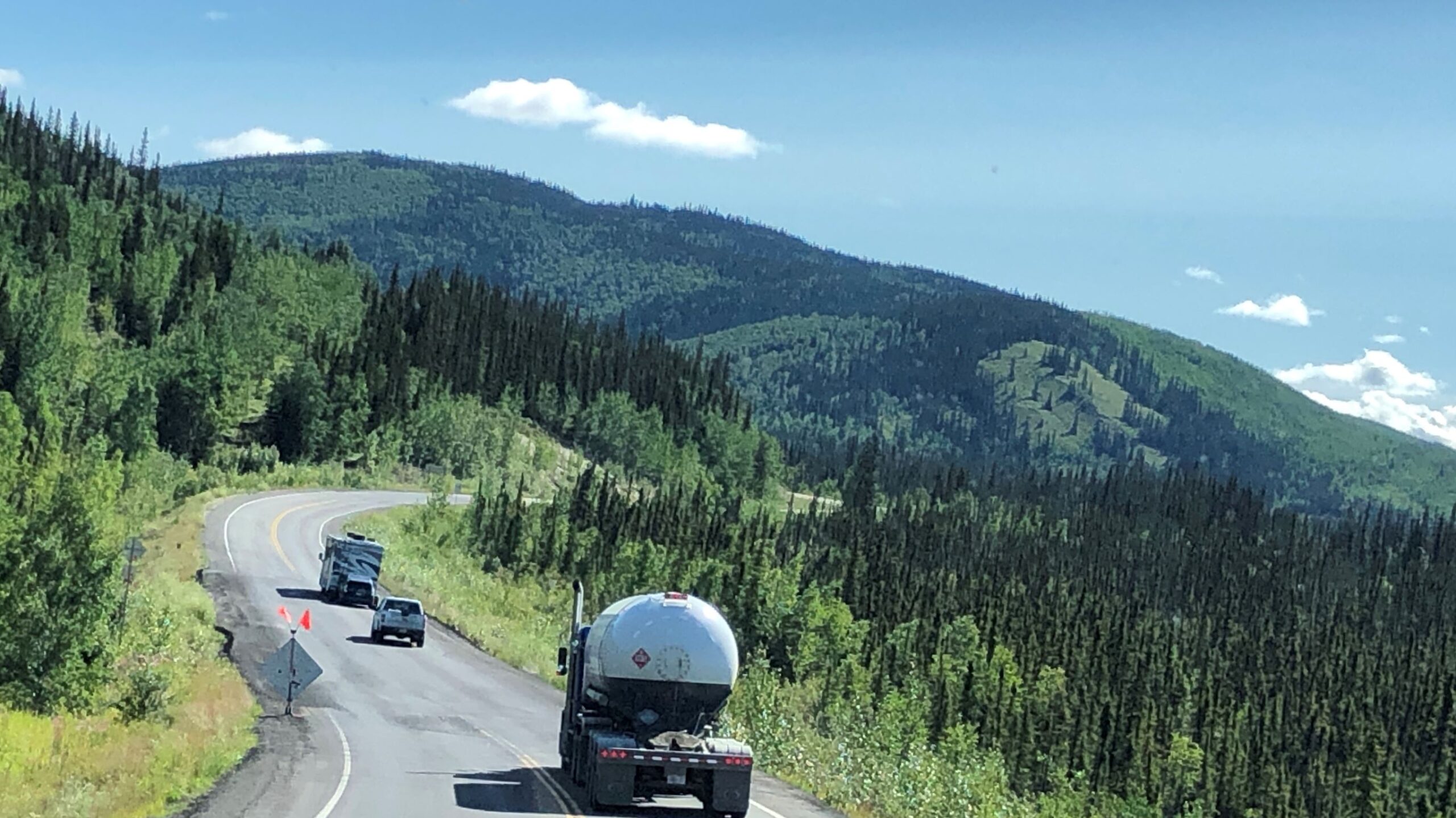
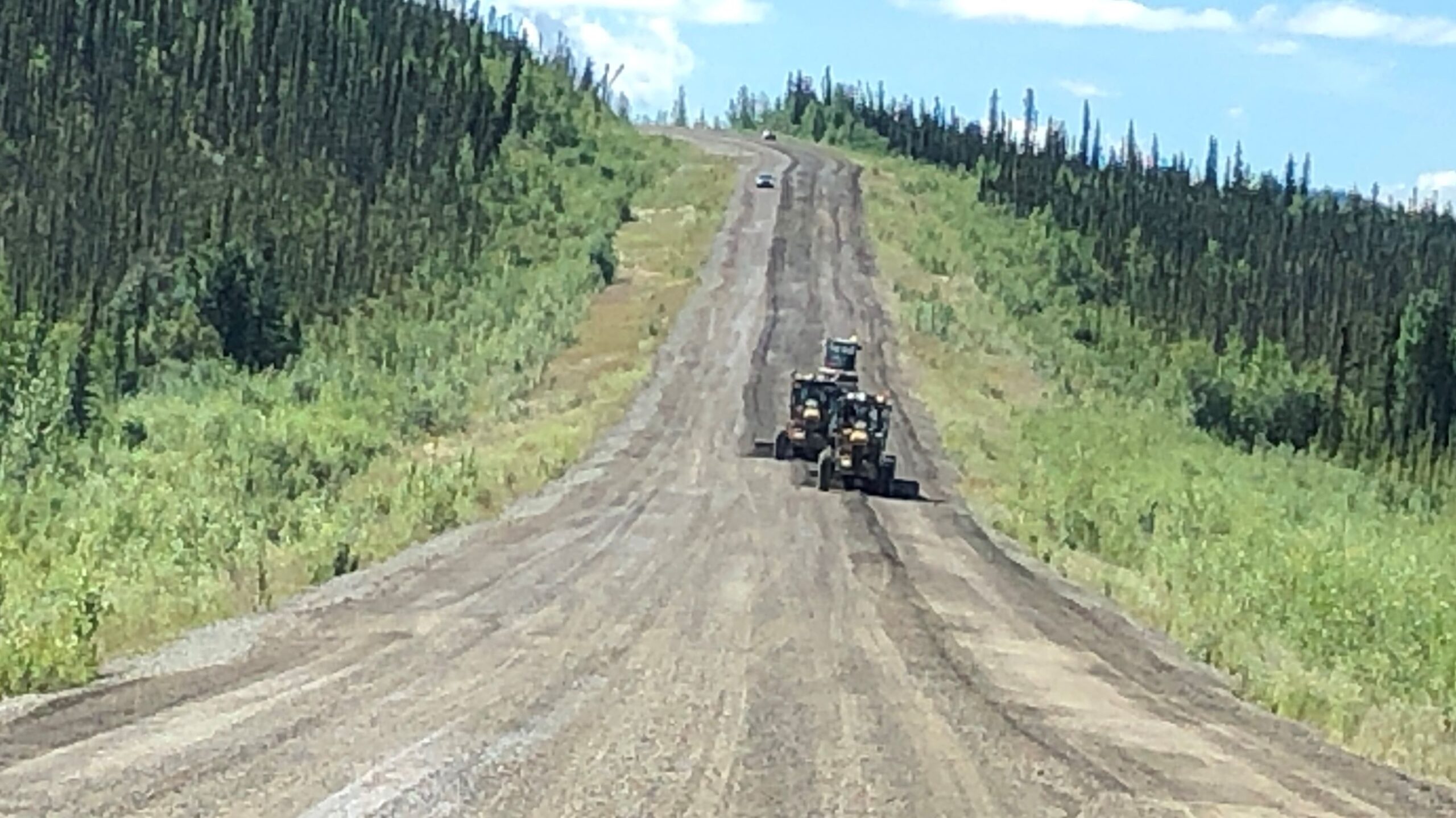
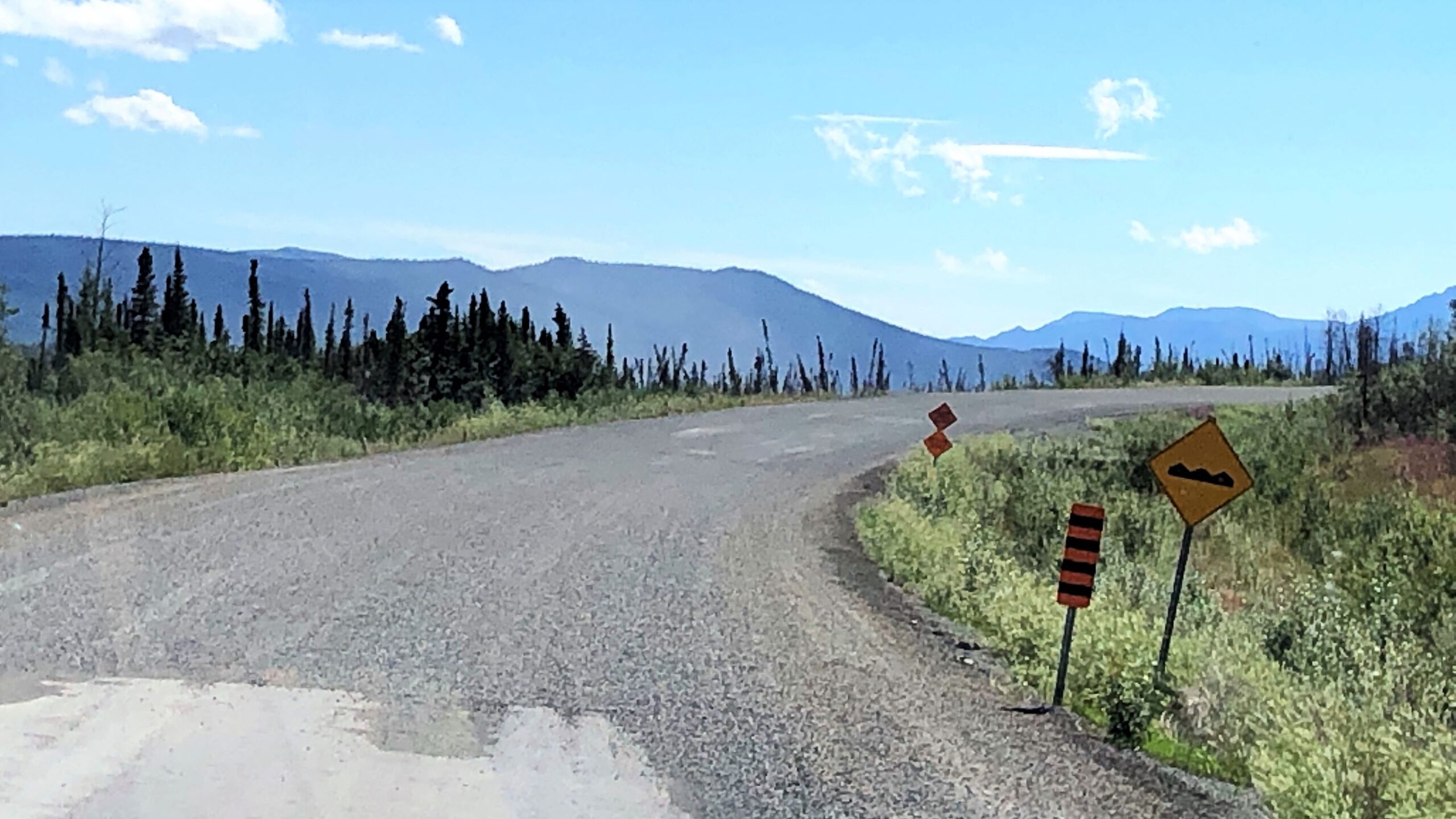
The road became really TERRIBLE – heaves, potholes, broken pavement, gravel portions and construction. We can hardly go faster than 40mph on this road – we thought the Top of The World Highway was bad – but this portion of the Alcan Highway is as bad or maybe even worse!
Notice the ripples in the asphalt – with our long wheelbase, these heaves have to be approached at a low speed!
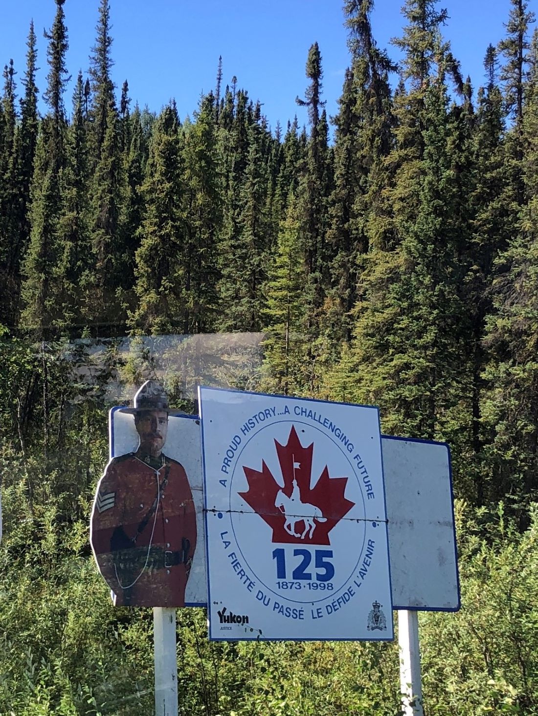
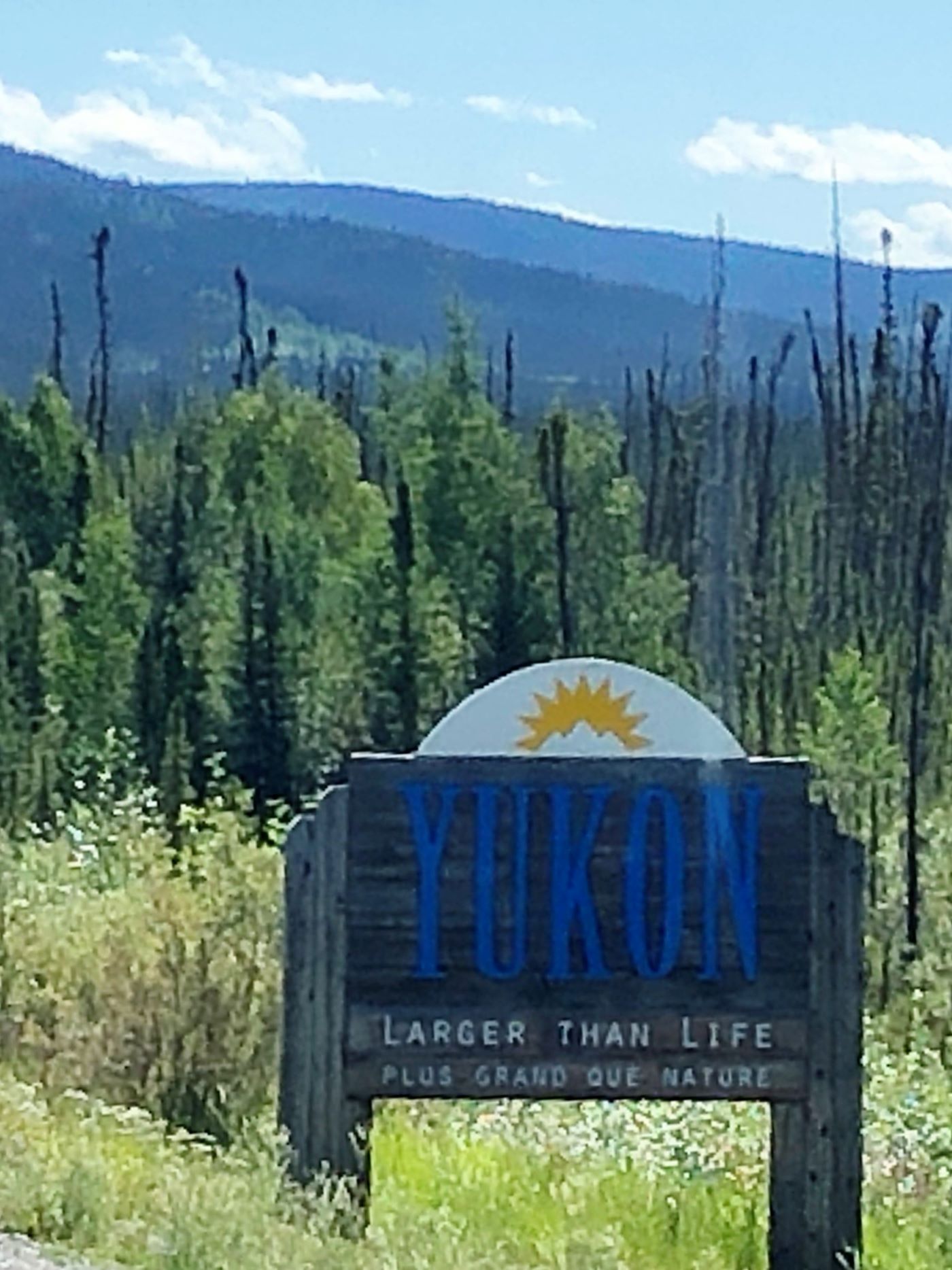
We had a time change and a border crossing back into Canada at Beaver Creek.
Here’s something they don’t teach you in Driver’s Ed – what do you do when 2 road graters and a roller are coming at you on your side of the road and there is oncoming traffic?
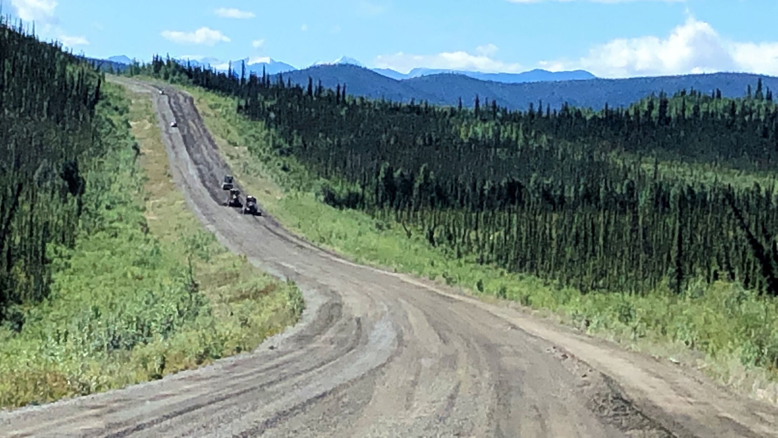
Another time to wait… and yes – this is THE road to drive on! Yikes!
Just after 2 (1:00 Alaska Time) we found a rest area and stopped to make lunch and continued our drive.
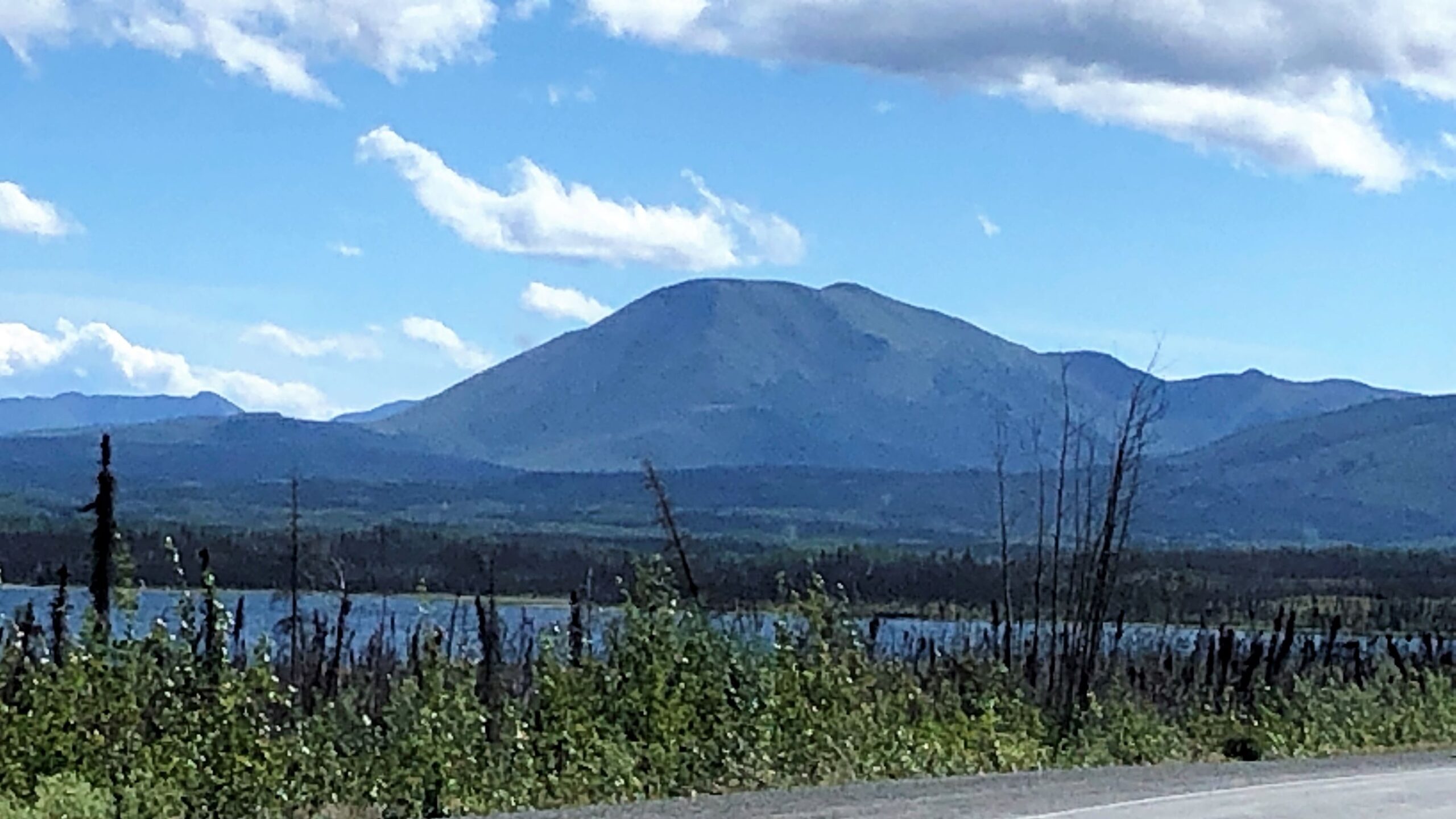
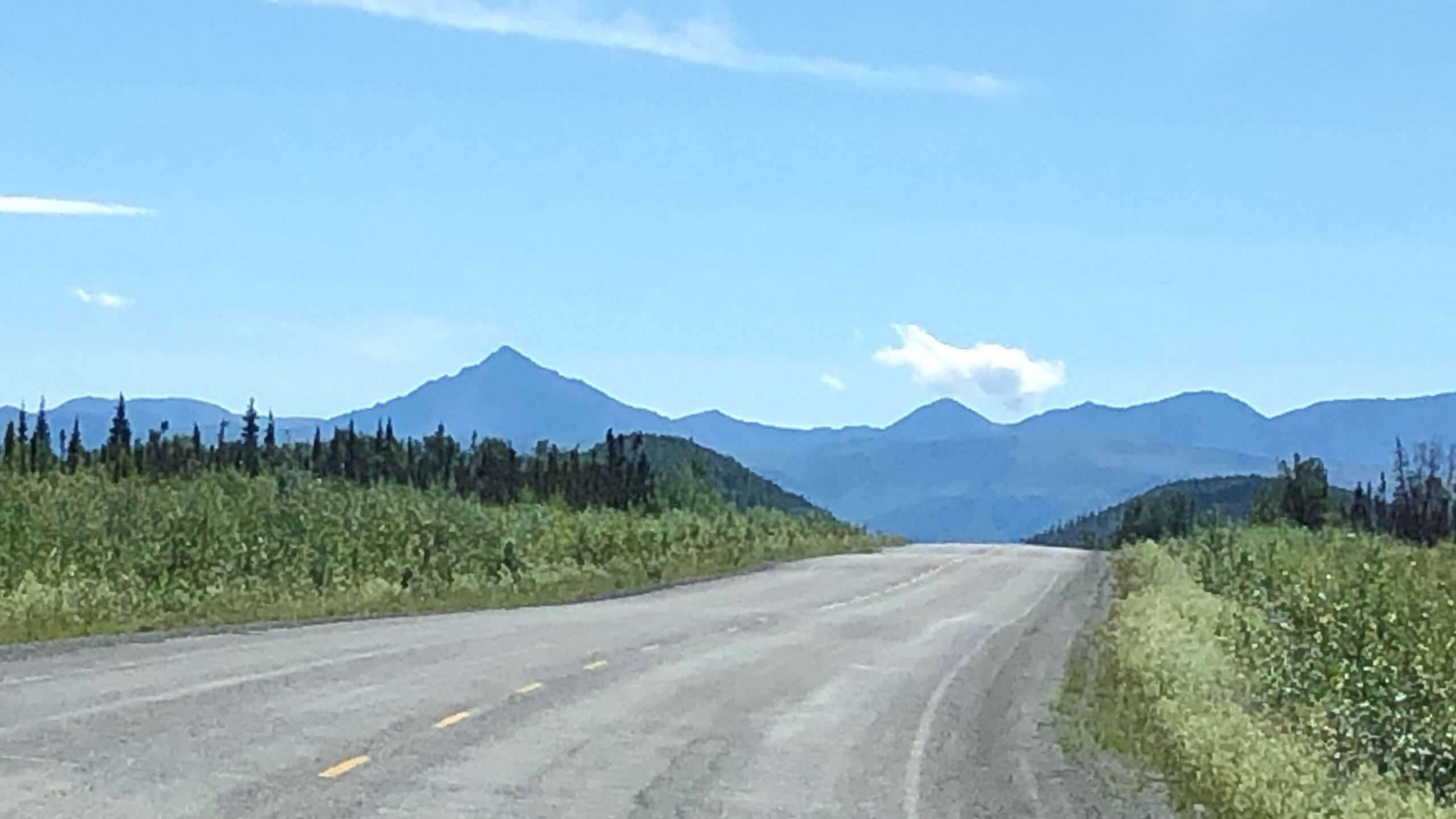
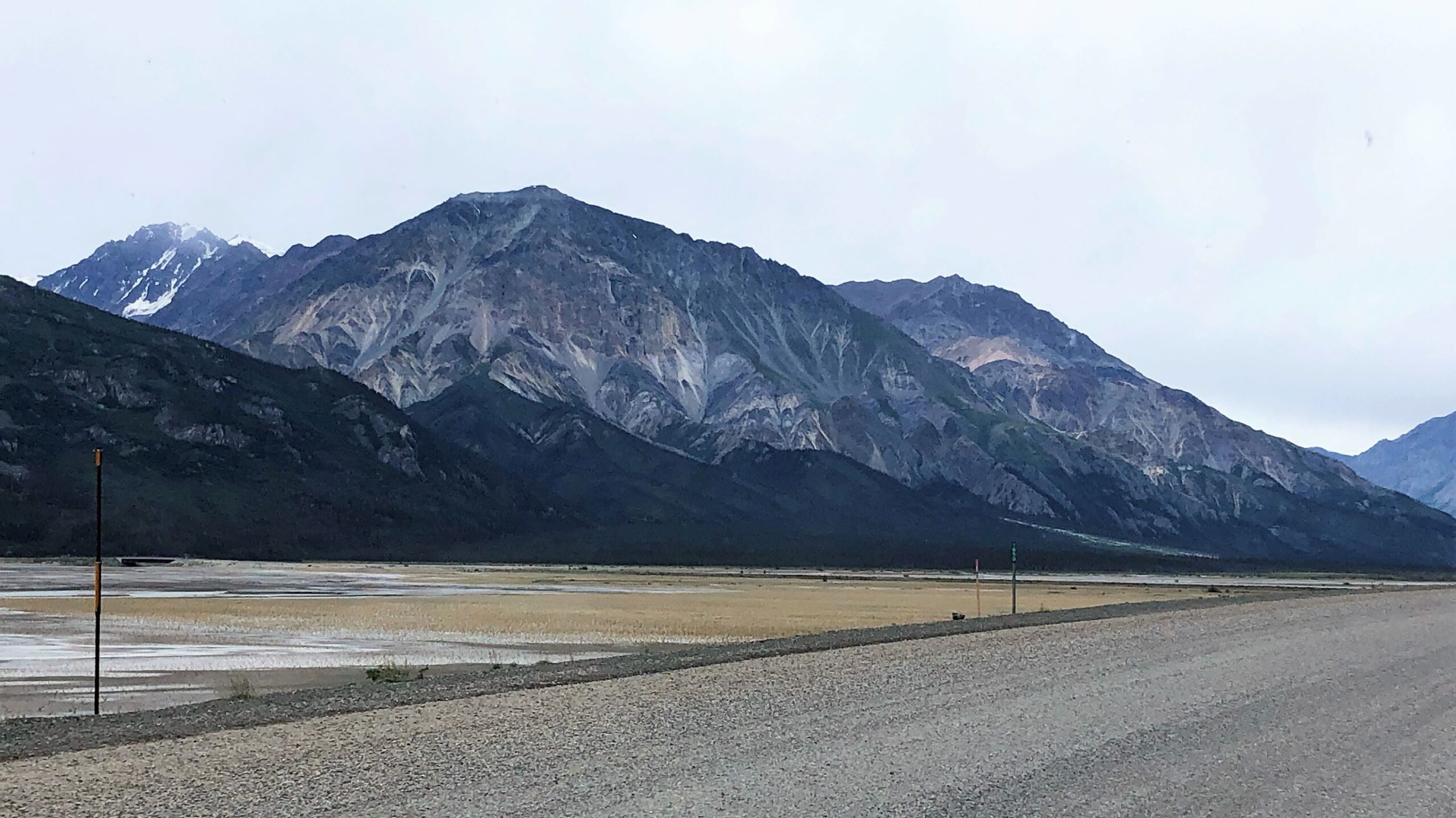
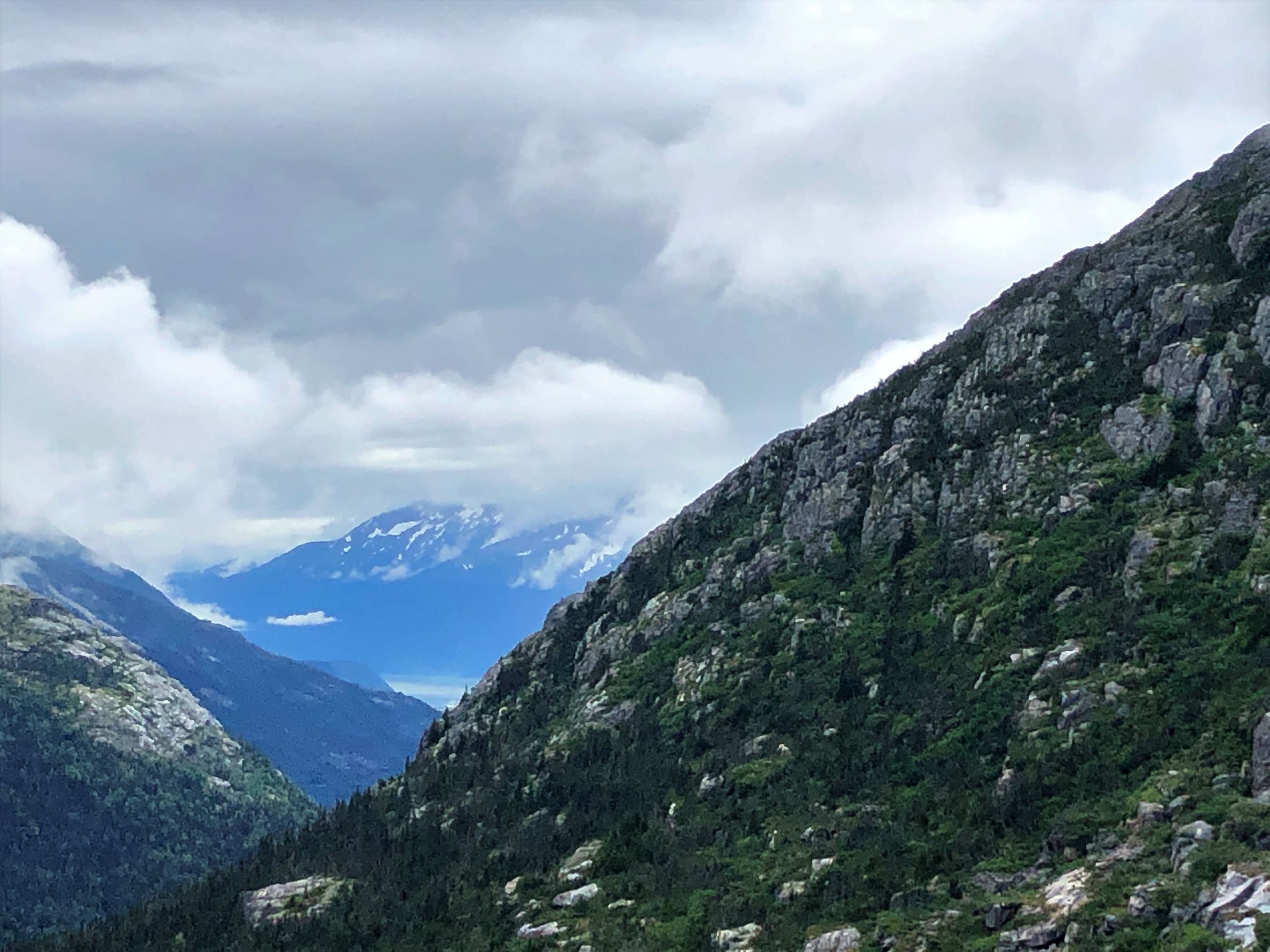
Loved the “pointy” mountains.
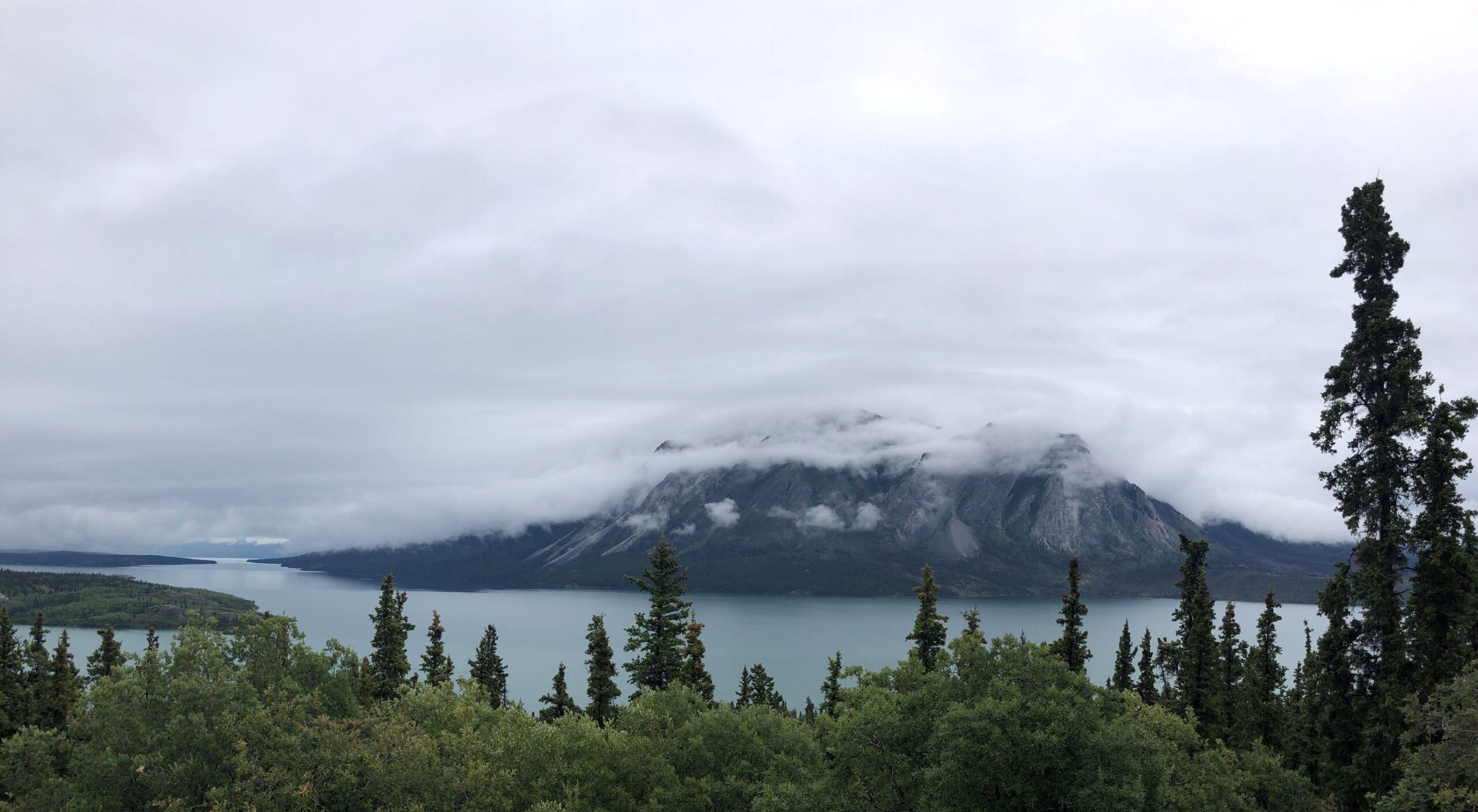
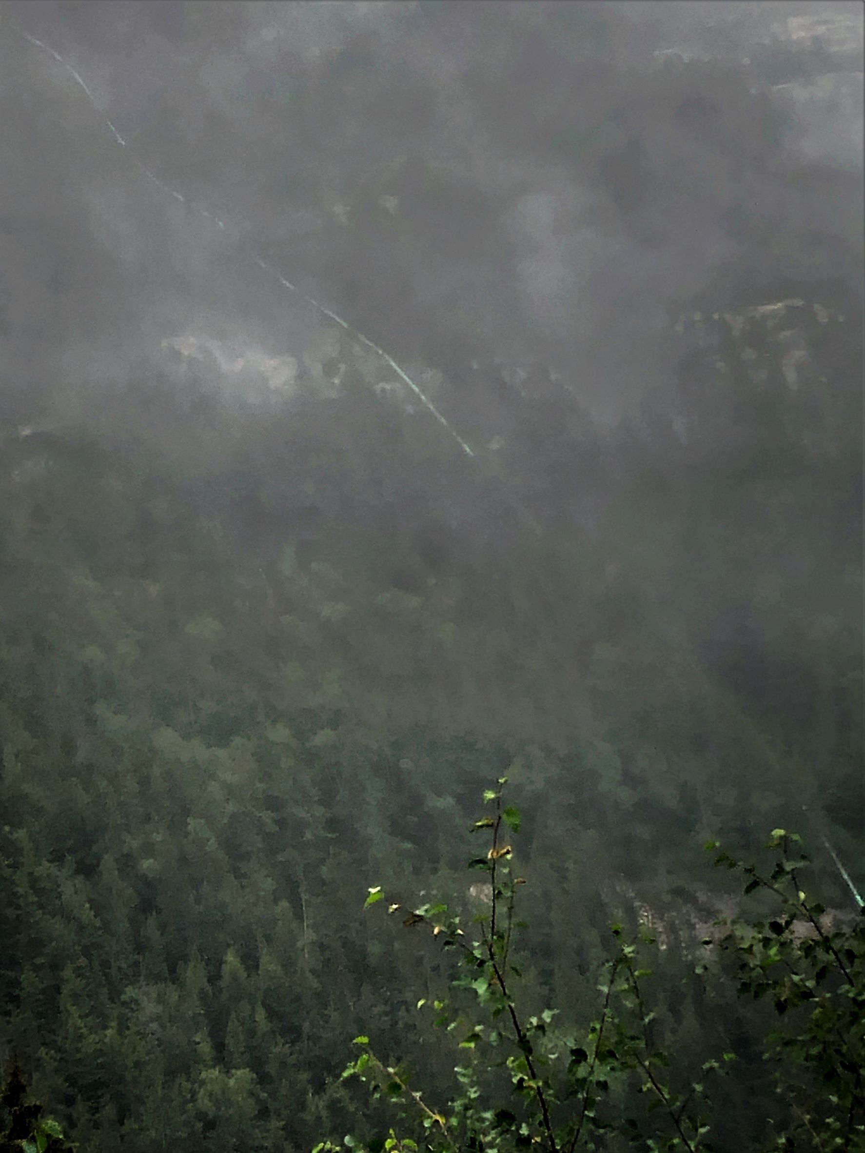
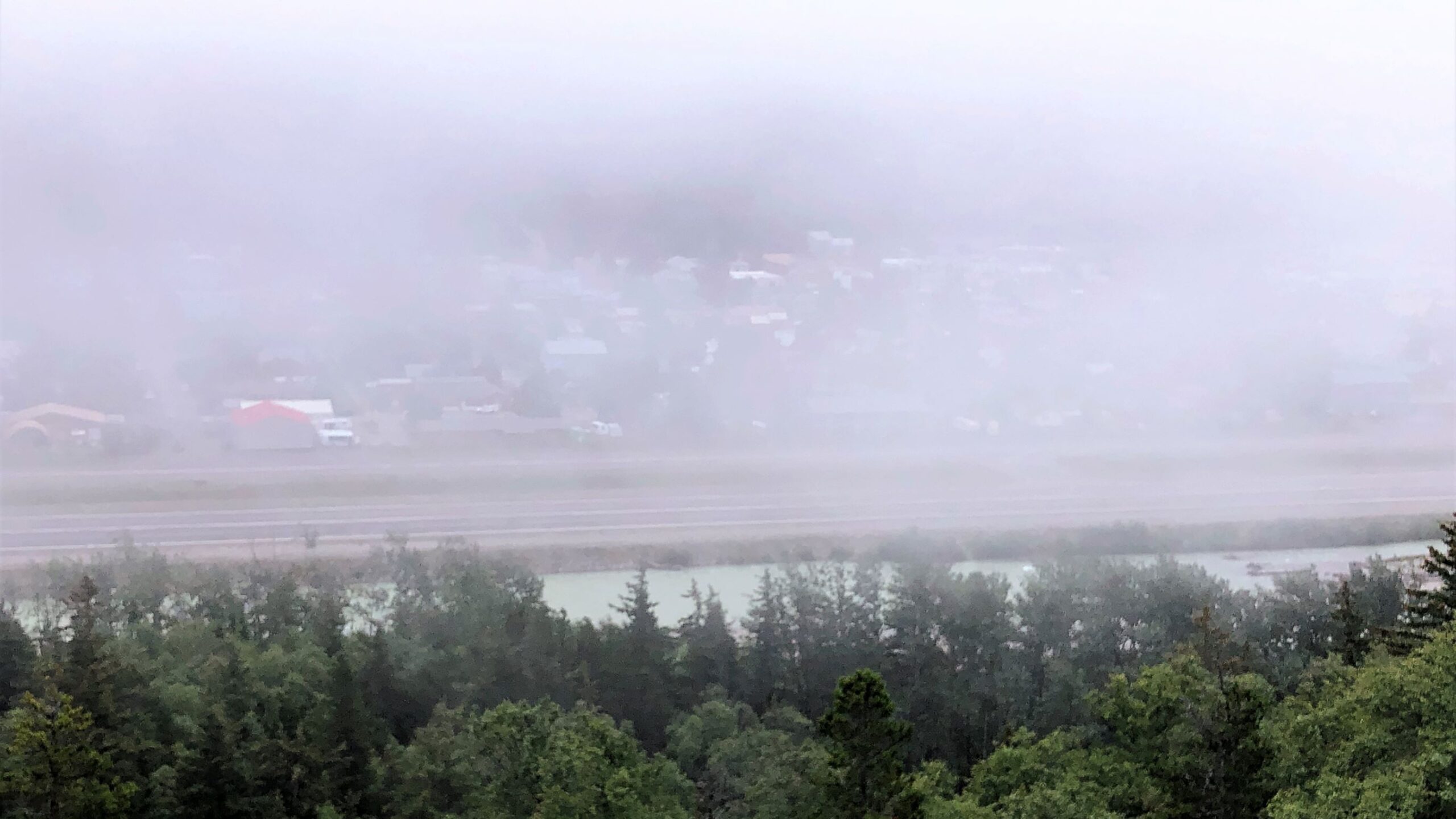
Unusual clouds as we neared our destination!
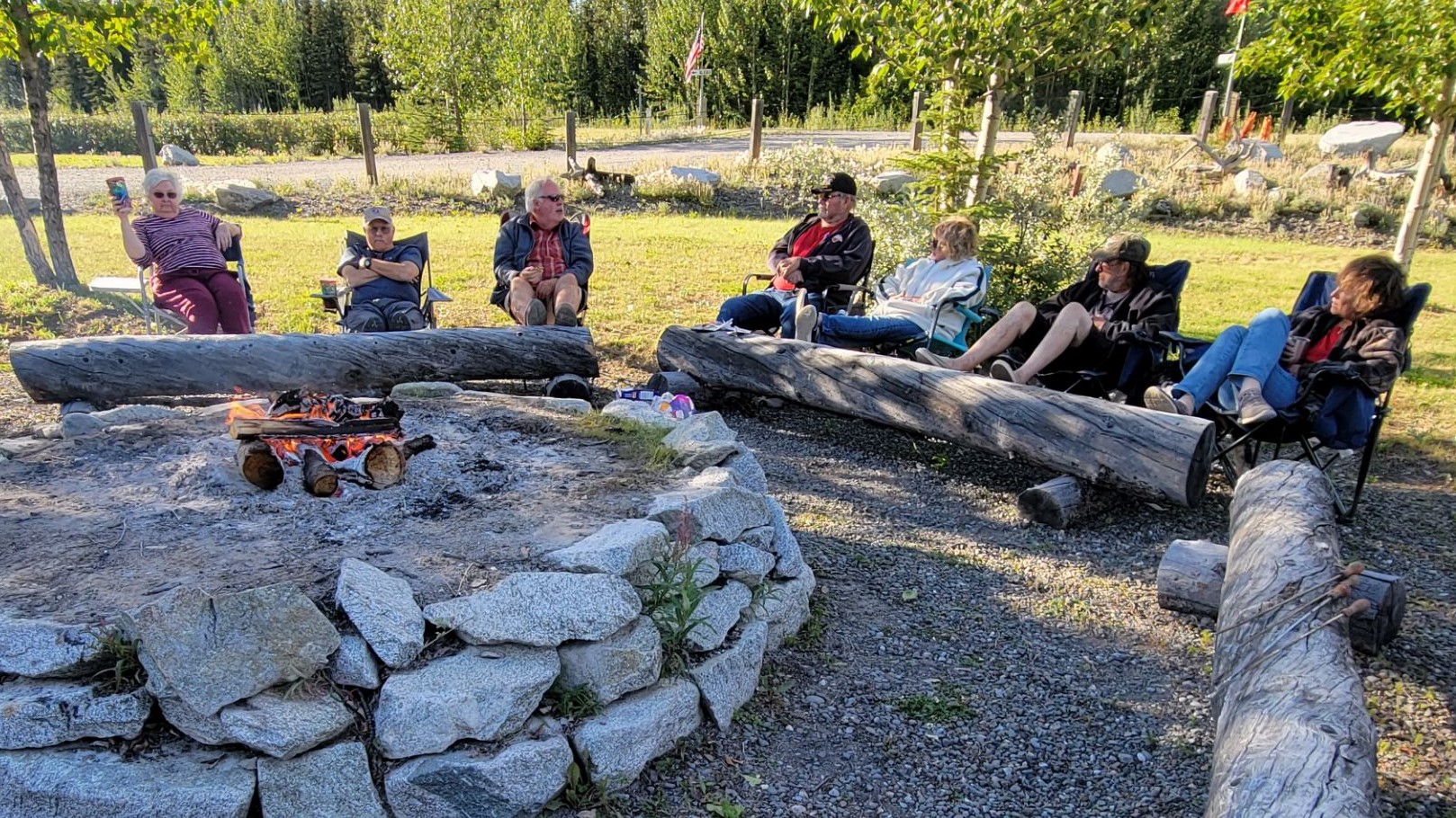
We finally arrived at Discovery Yukon Lodgings in Koidern, YT at 4 – it took 4½ hours driving time to go the 143 miles today! We have full hookups here with 30amp electric. We put in a load of laundry and sat outside with our friends discussing the harrowing but beautiful adventures on the road. We fixed some salmon burgers for dinner and then went out to a campfire and made s’mores!
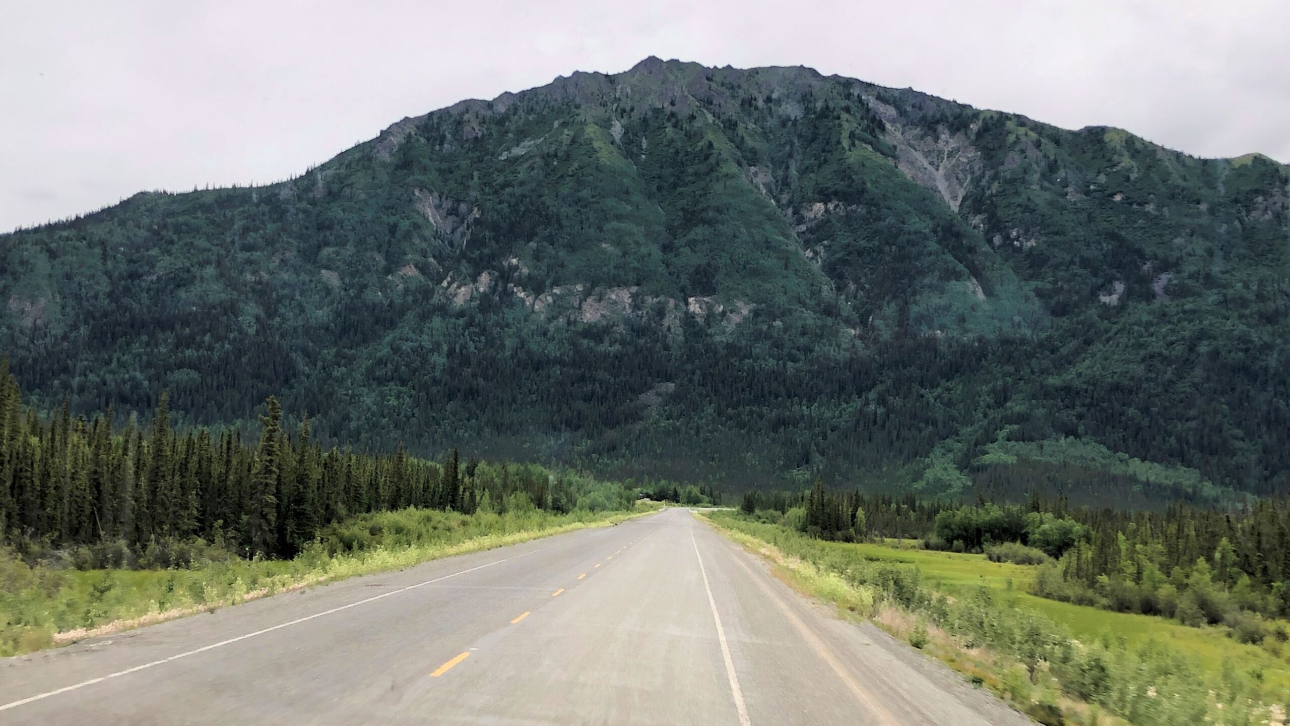
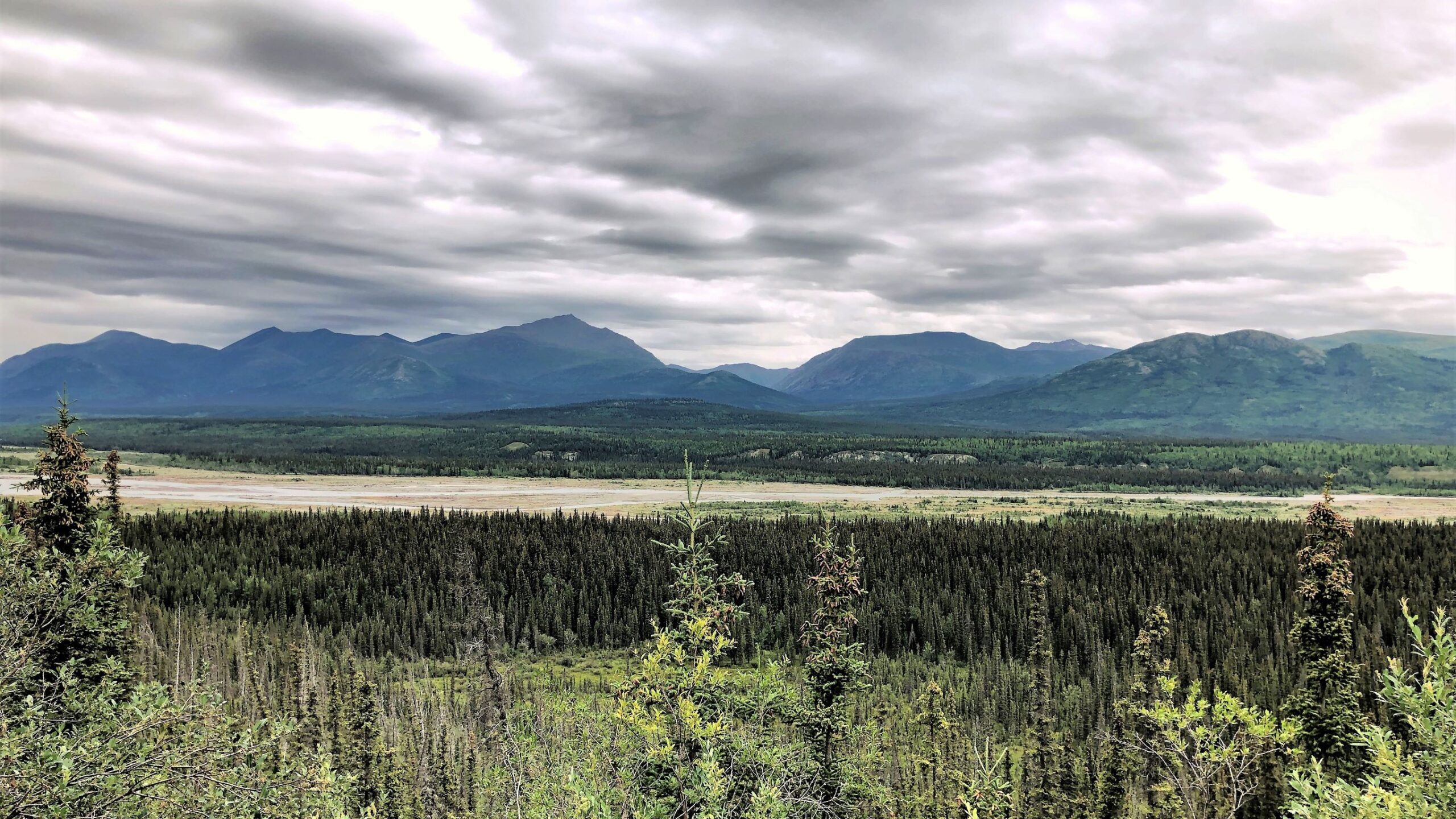
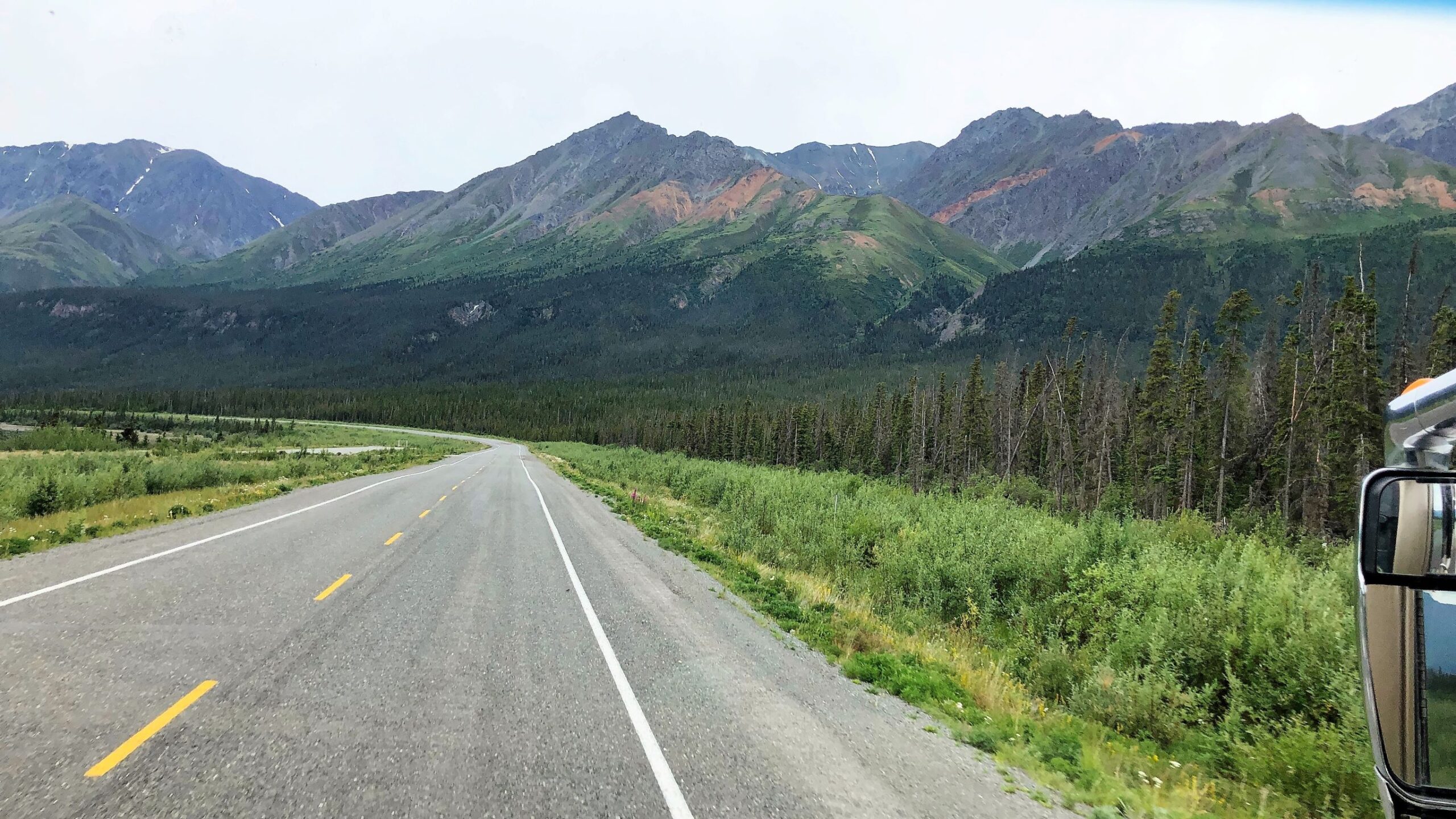
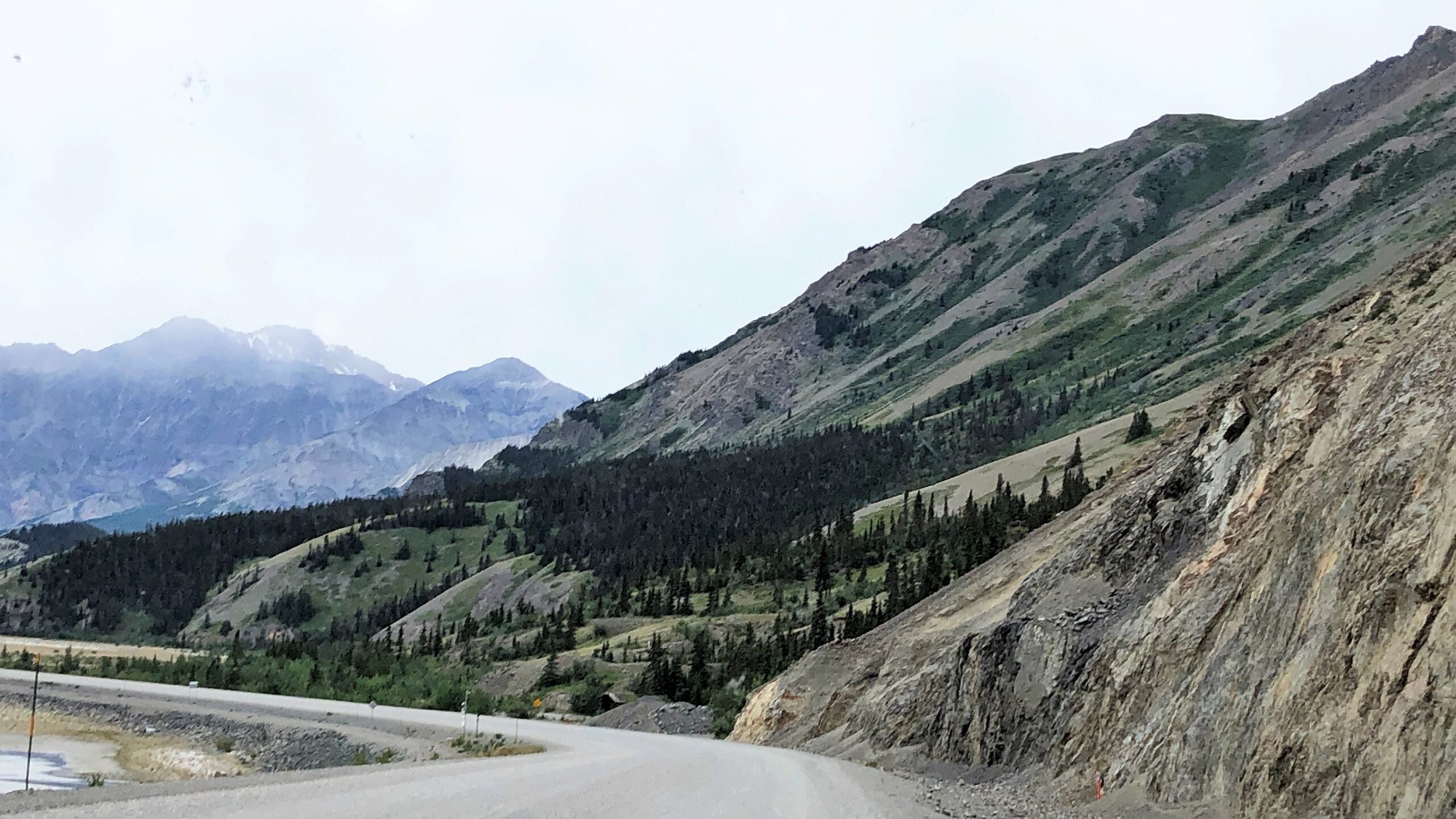
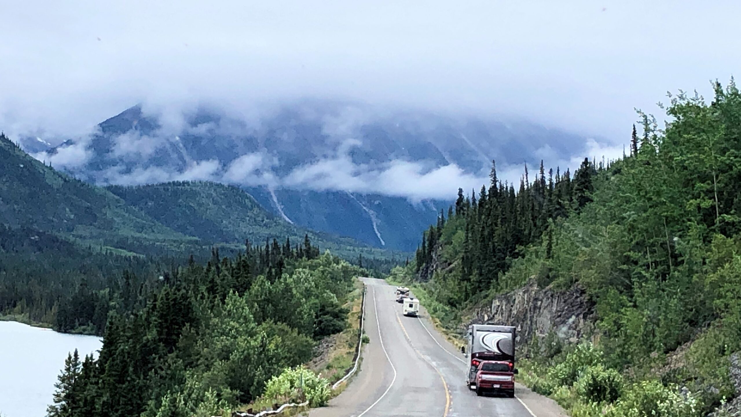
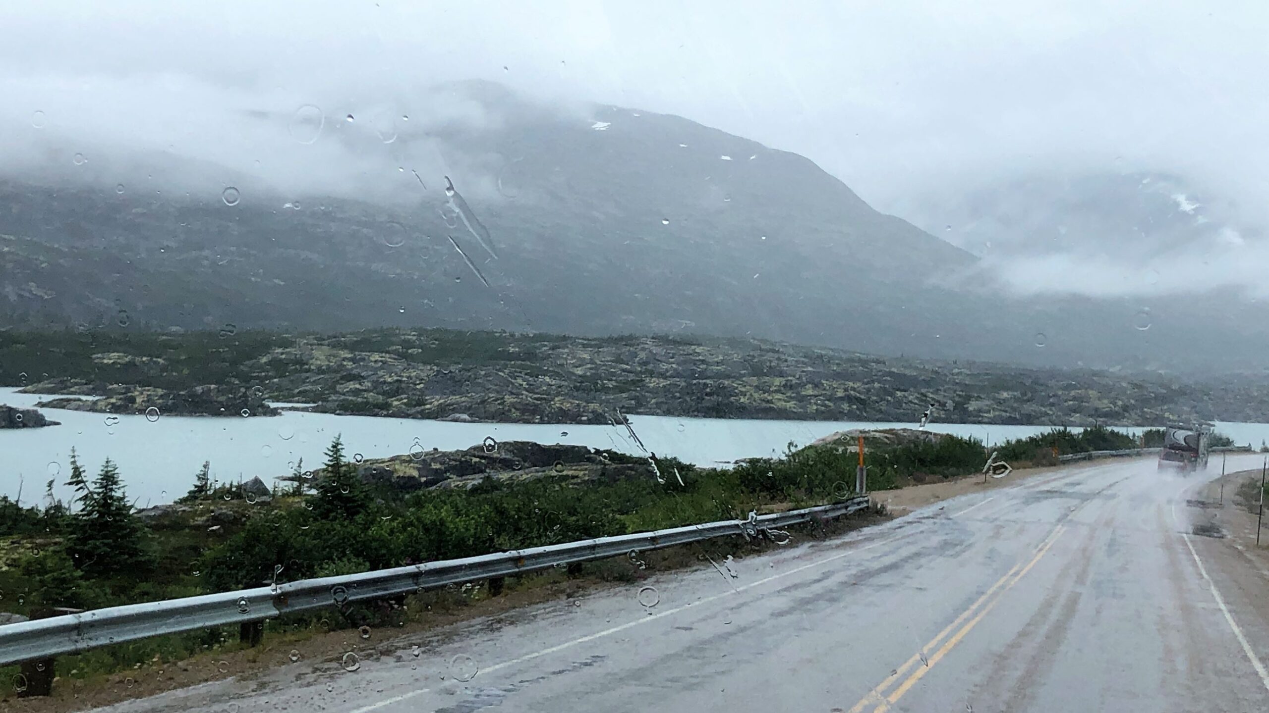
Wednesday July 27 we left at 7:40 with Acey’s mileage at 90,273.1 and Thor still has 104,899 as we again did not have to disconnect. The weather was clear, the scenery beautiful but the road was a bit rough.
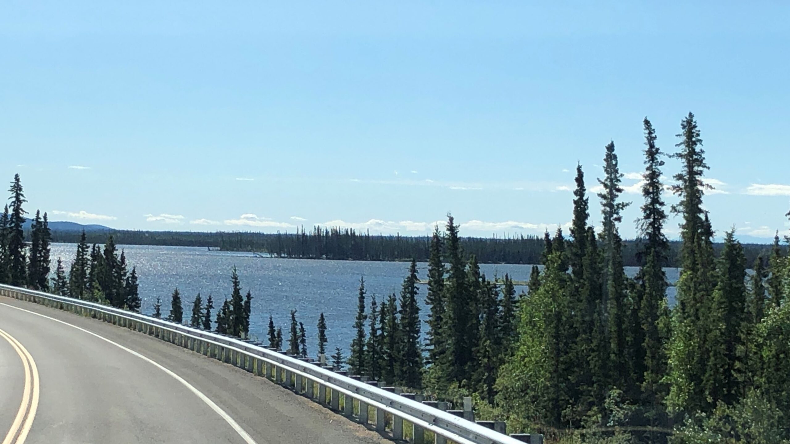
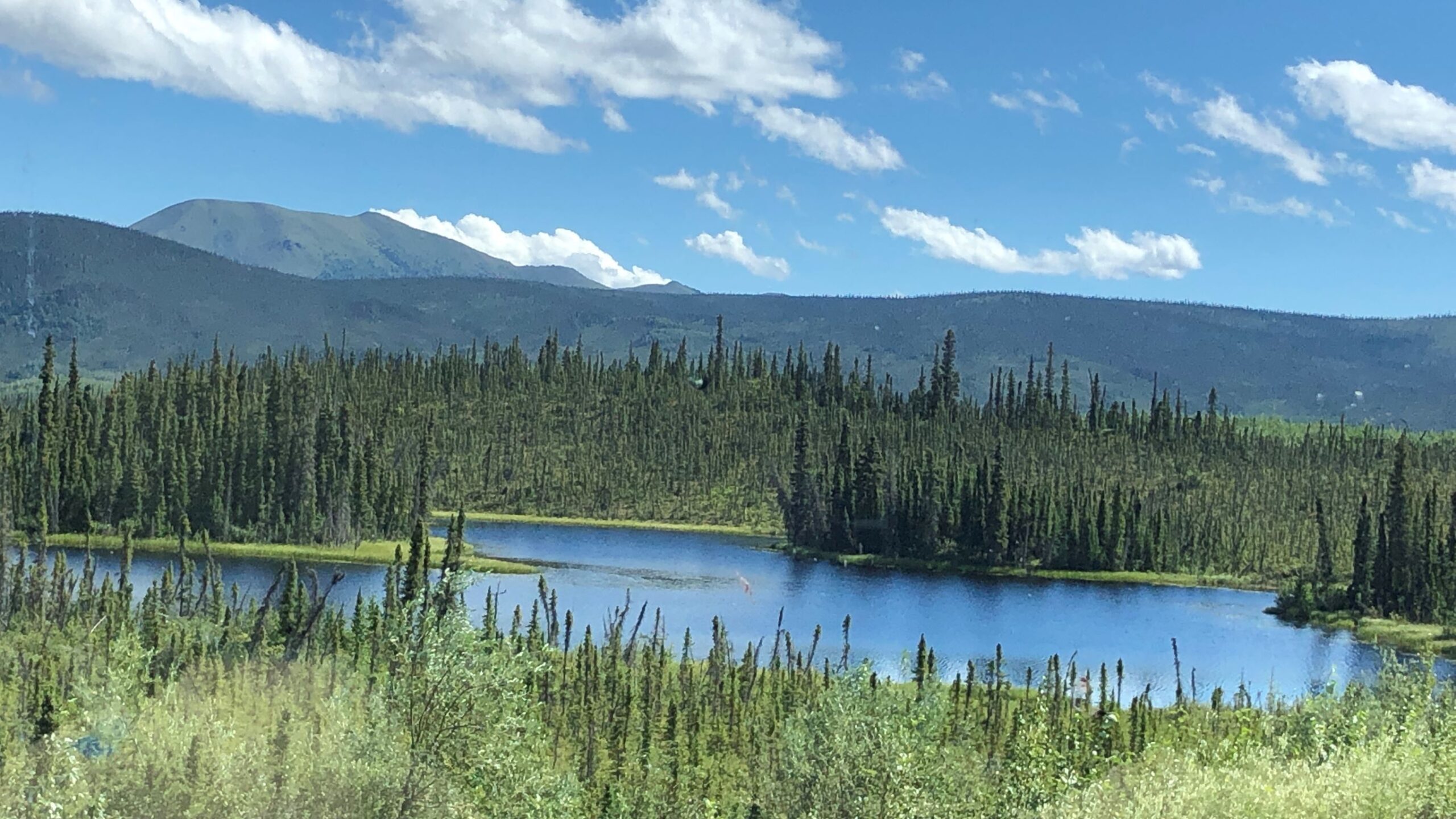
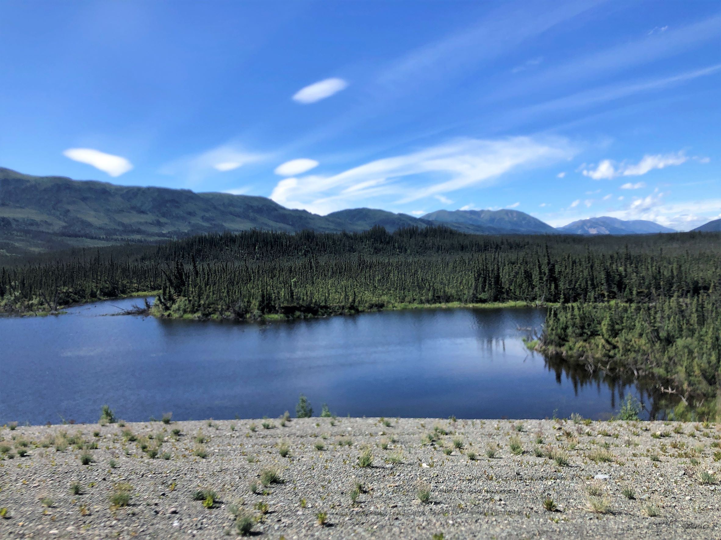
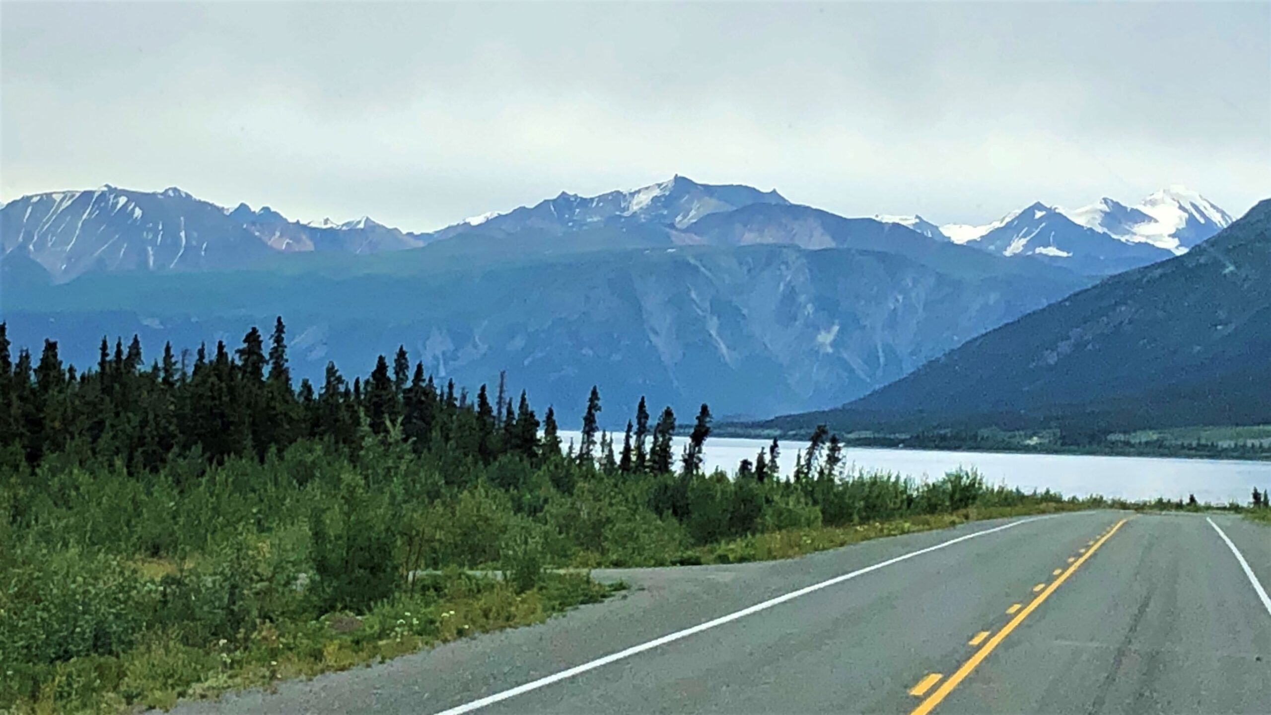
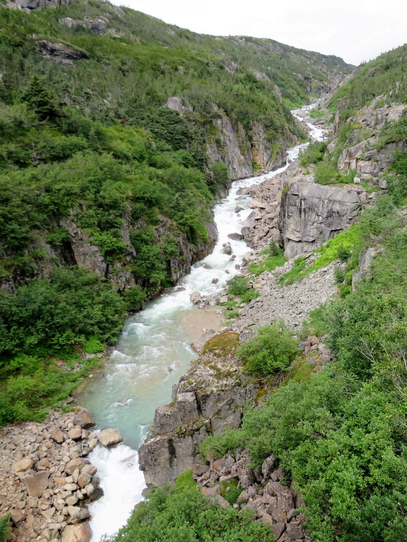
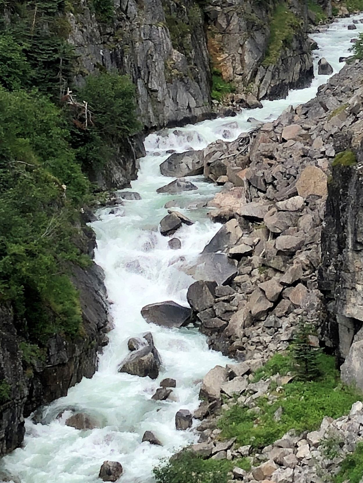
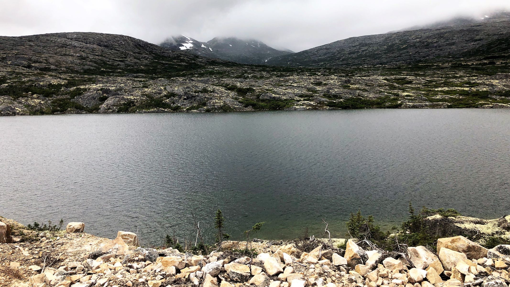
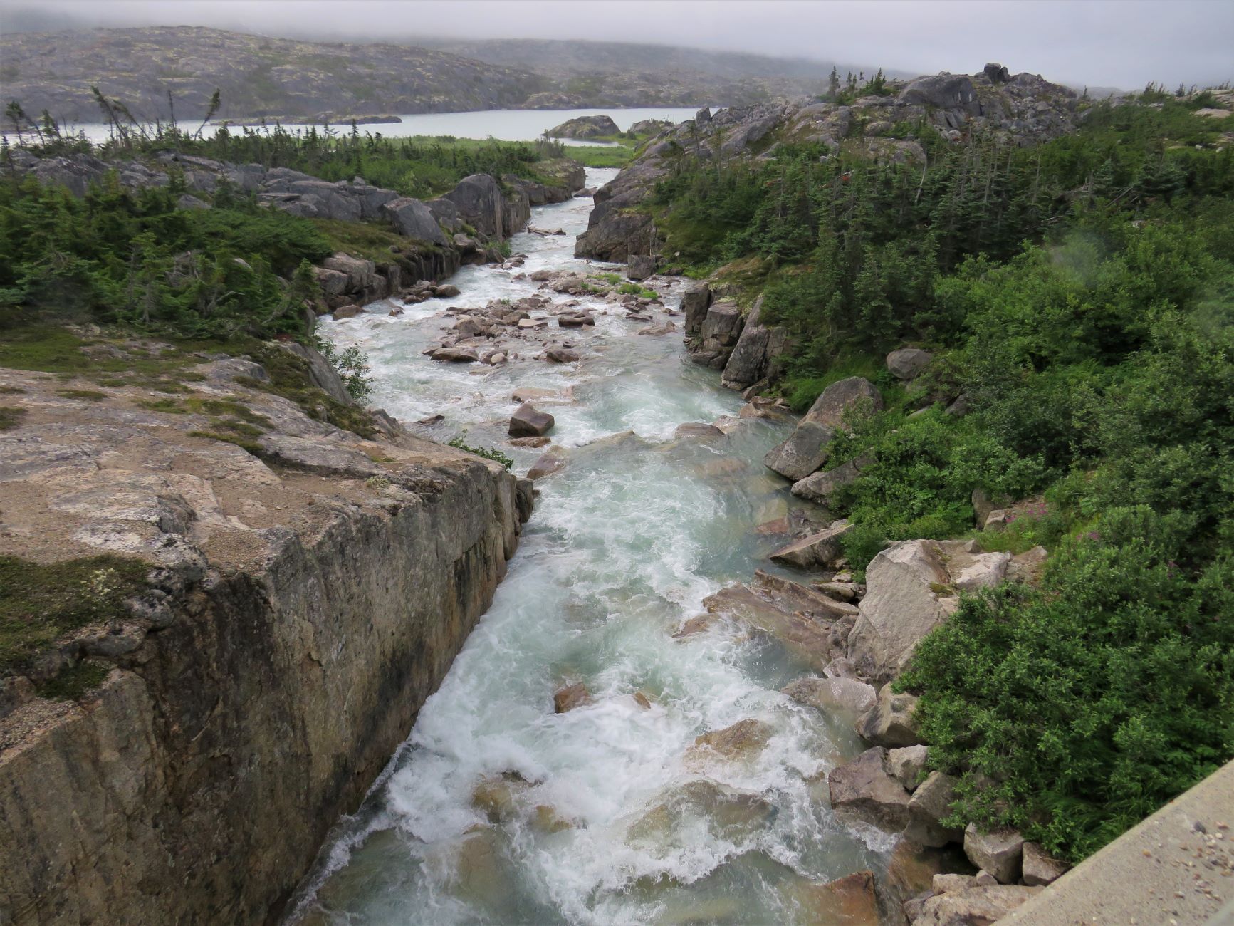
We stopped briefly to look at the Kluane River.
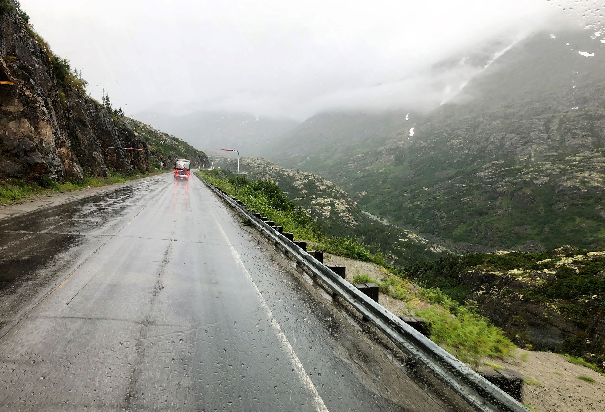
The road was much like yesterday – rippled heaves and potholes. There is little chance of driving 70km/hr (43.5mph) – you constantly slow down for the heaves in the road!
Some mountains look like they were painted – so colorful – almost look fake!
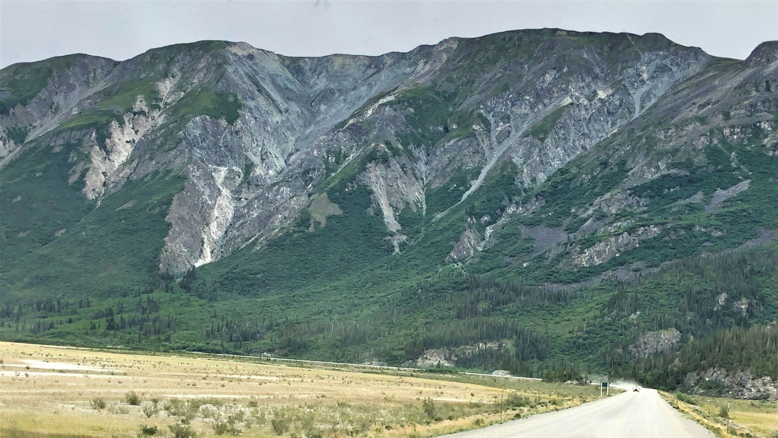
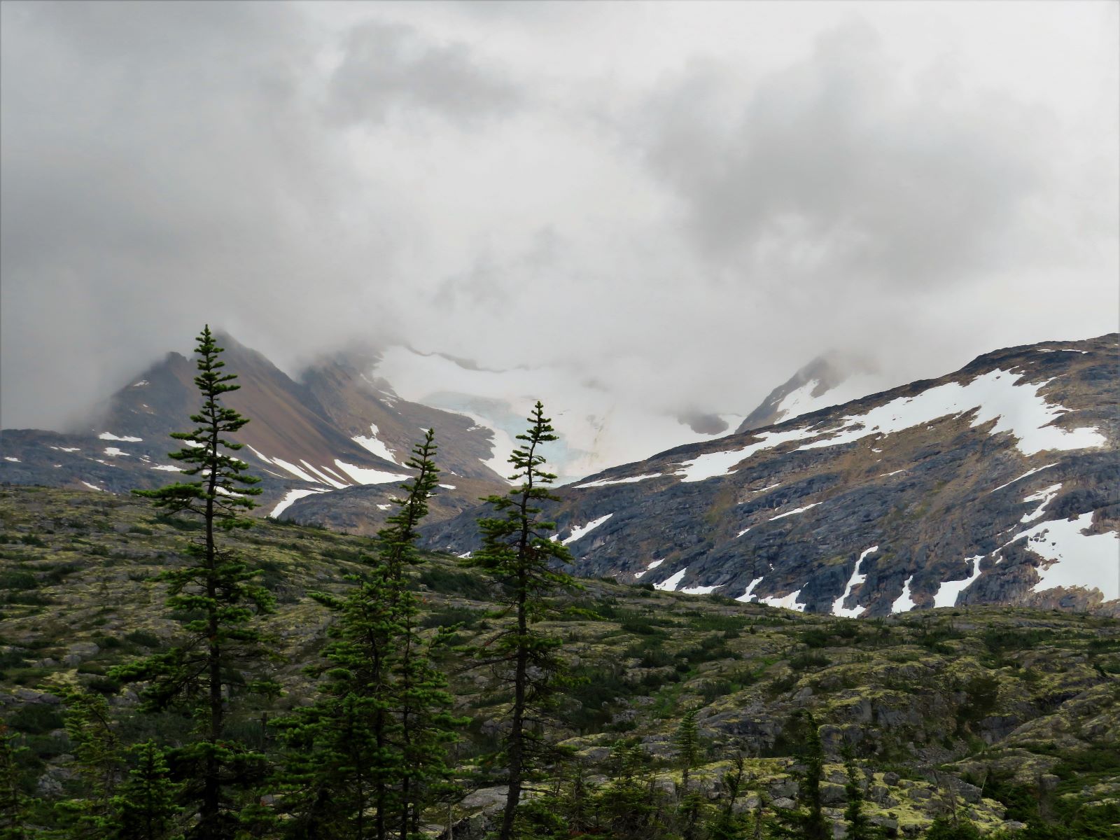
Looks like a glacier up in these mountains.
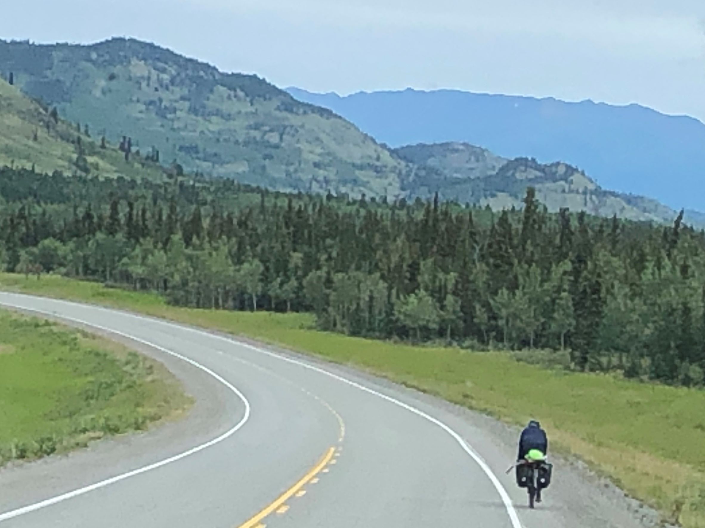
Yet another bicycle!
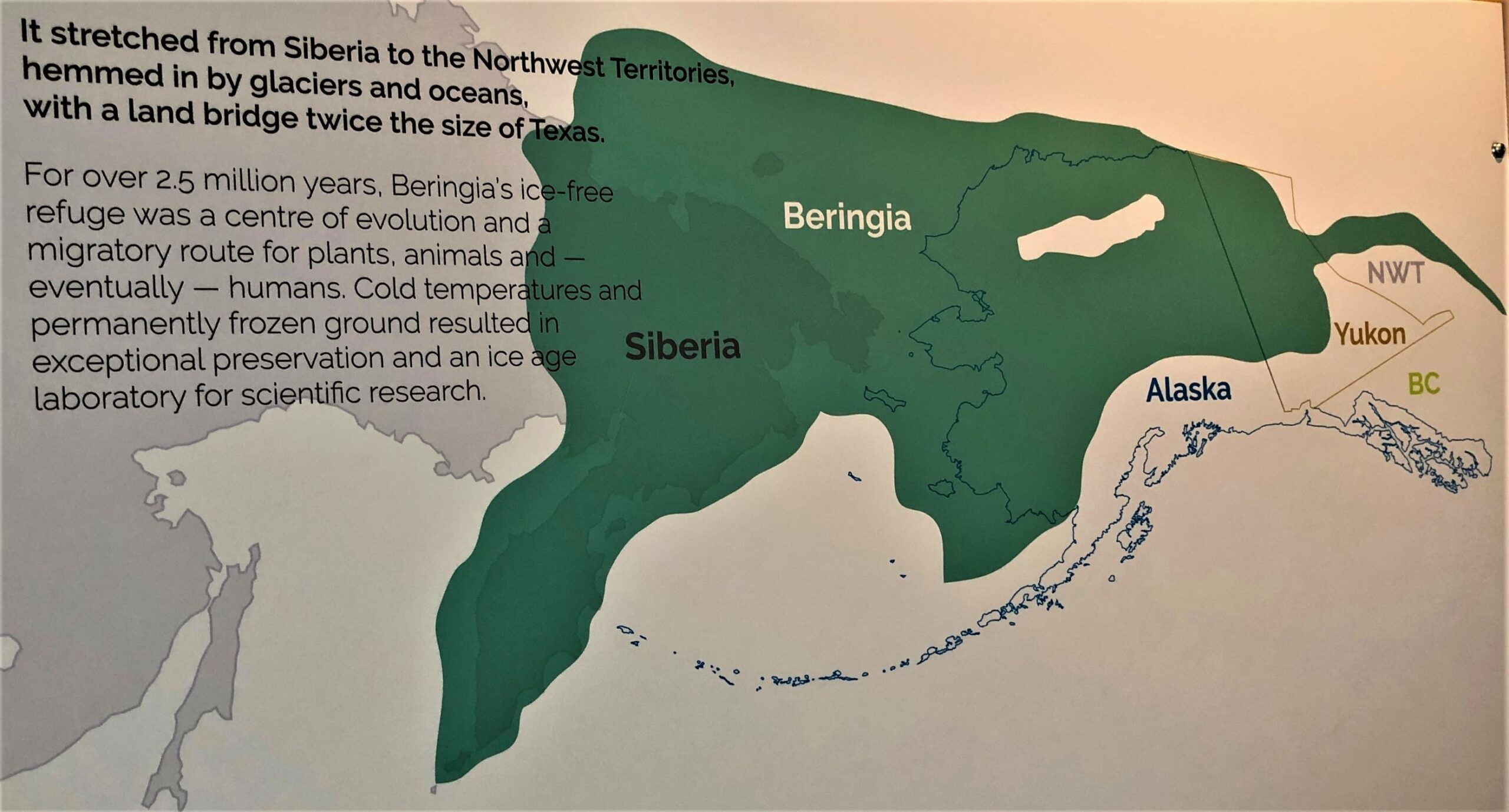
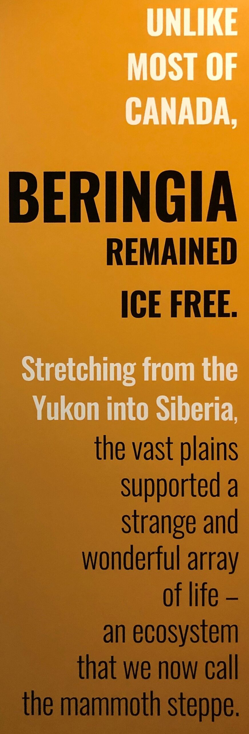
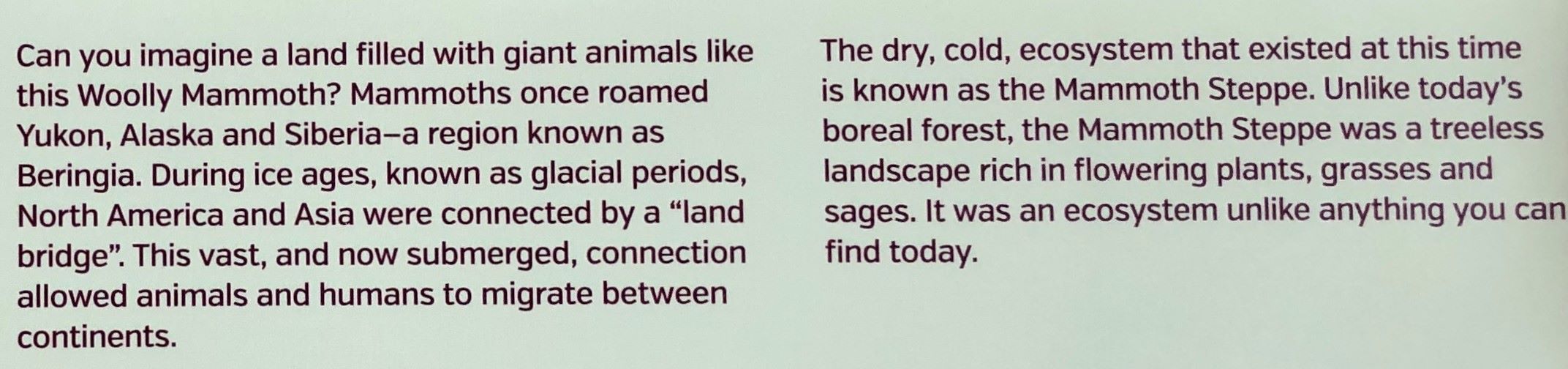
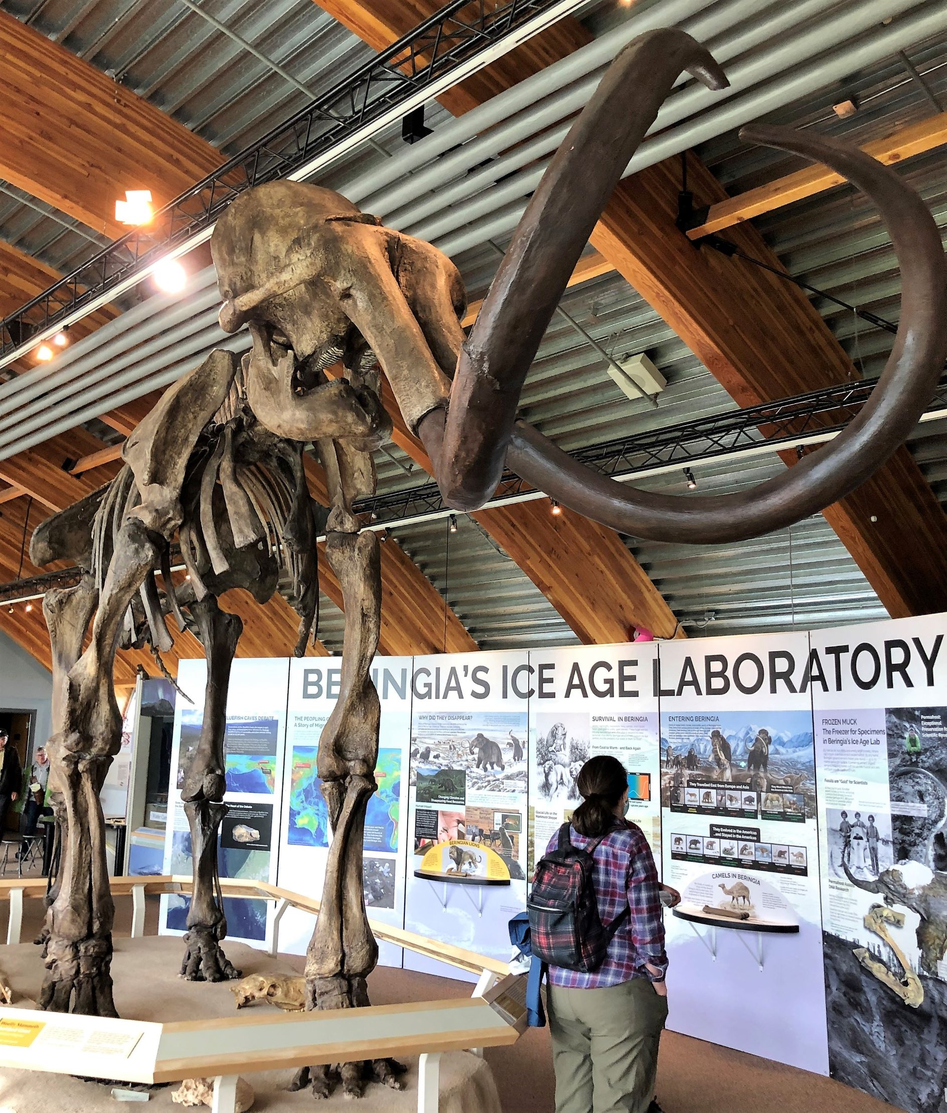
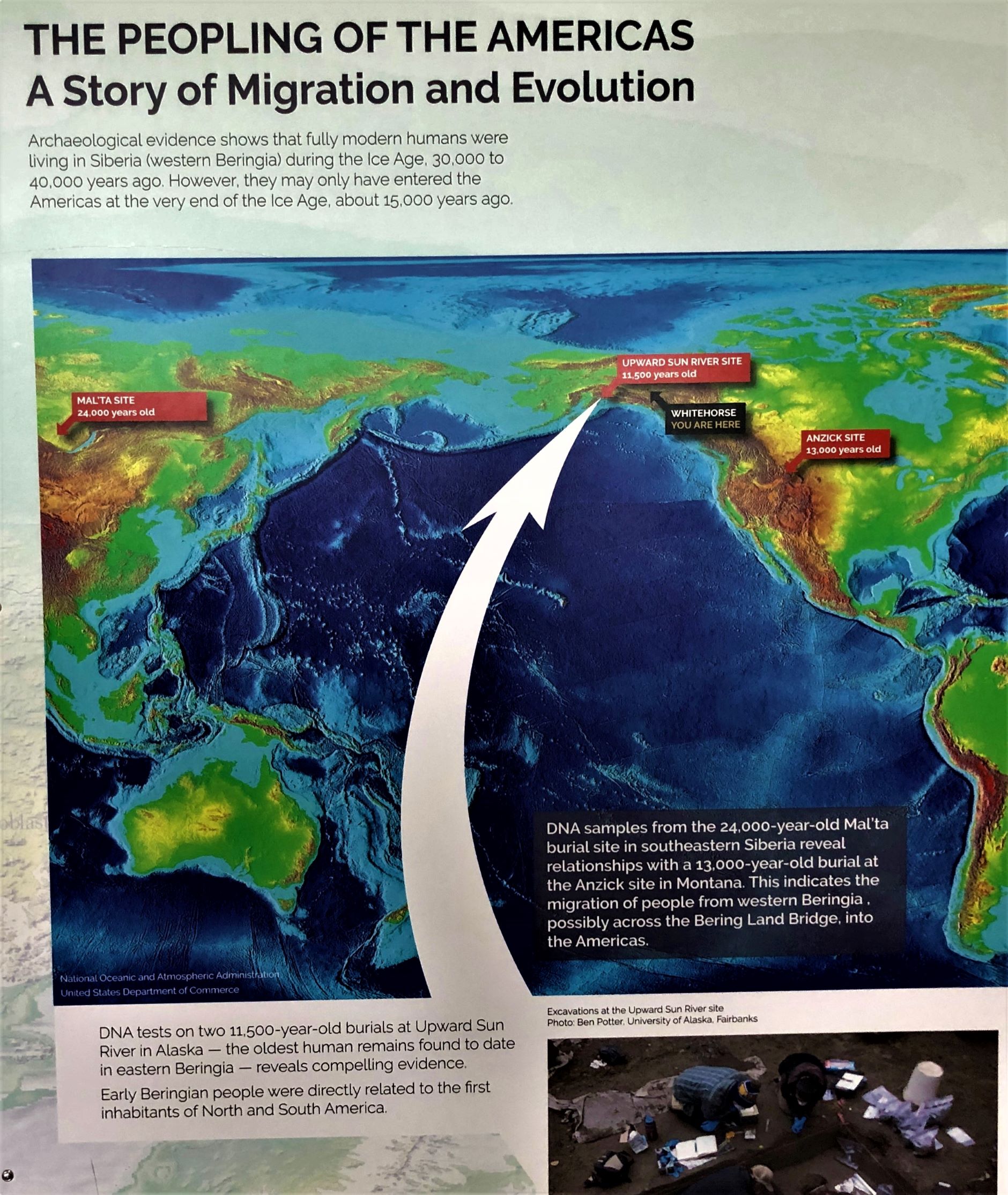
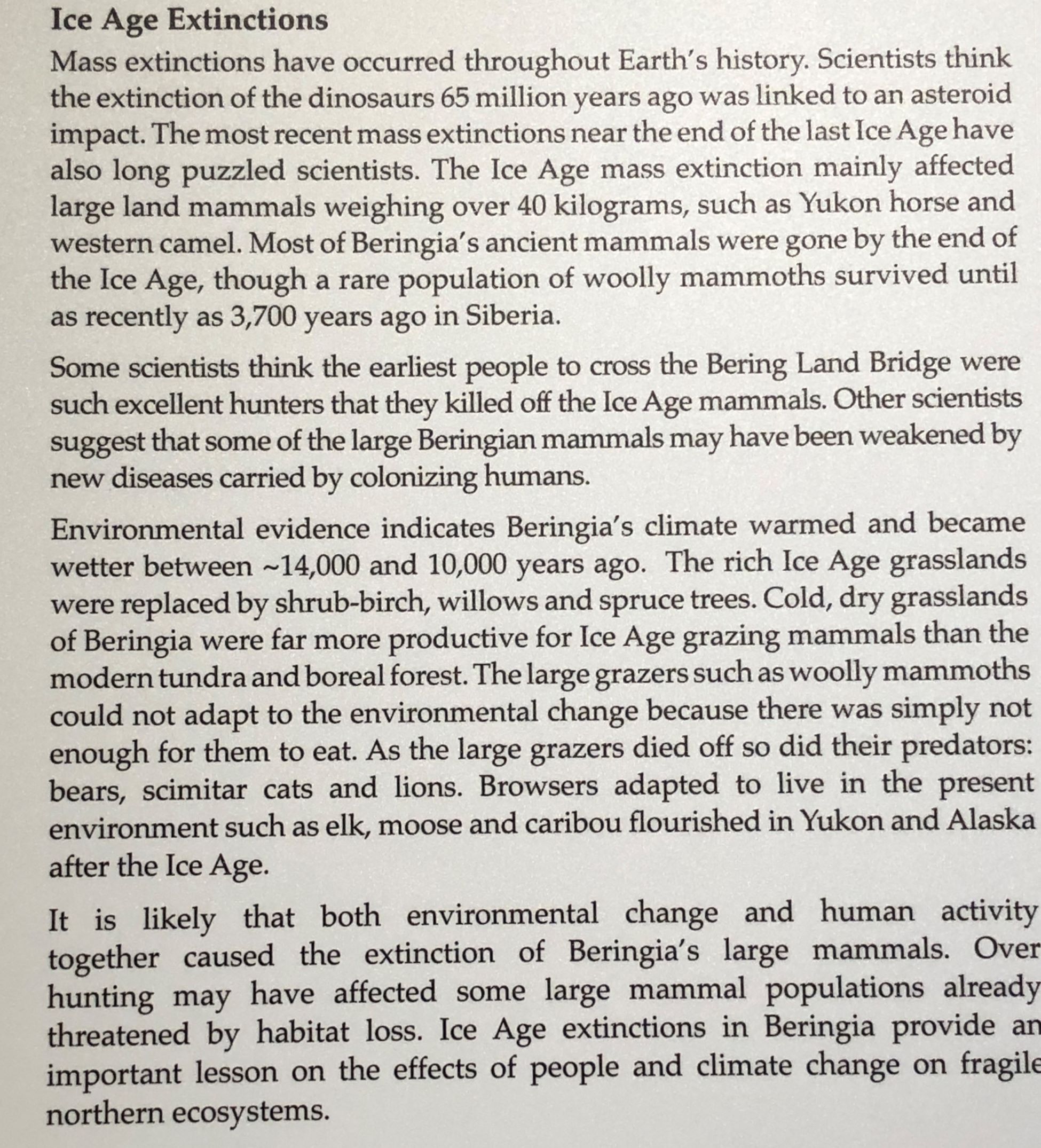
We arrived at our overnight stop, Hi Country RV Park in Whitehorse, YT at 1:40. We got set up with full hookups, put in a load of laundry and made lunch. Then we made a quick visit to the Yukon Beringia Interpretive Centre. It is believed there was a “land bridge twice the size of Texas” that connected Russia to Alaska and Canada and it was called Beringia. We had never heard of Beringia until we were visited Caribou Crossing when we first stayed at Whitehorse and wanted to find out more…
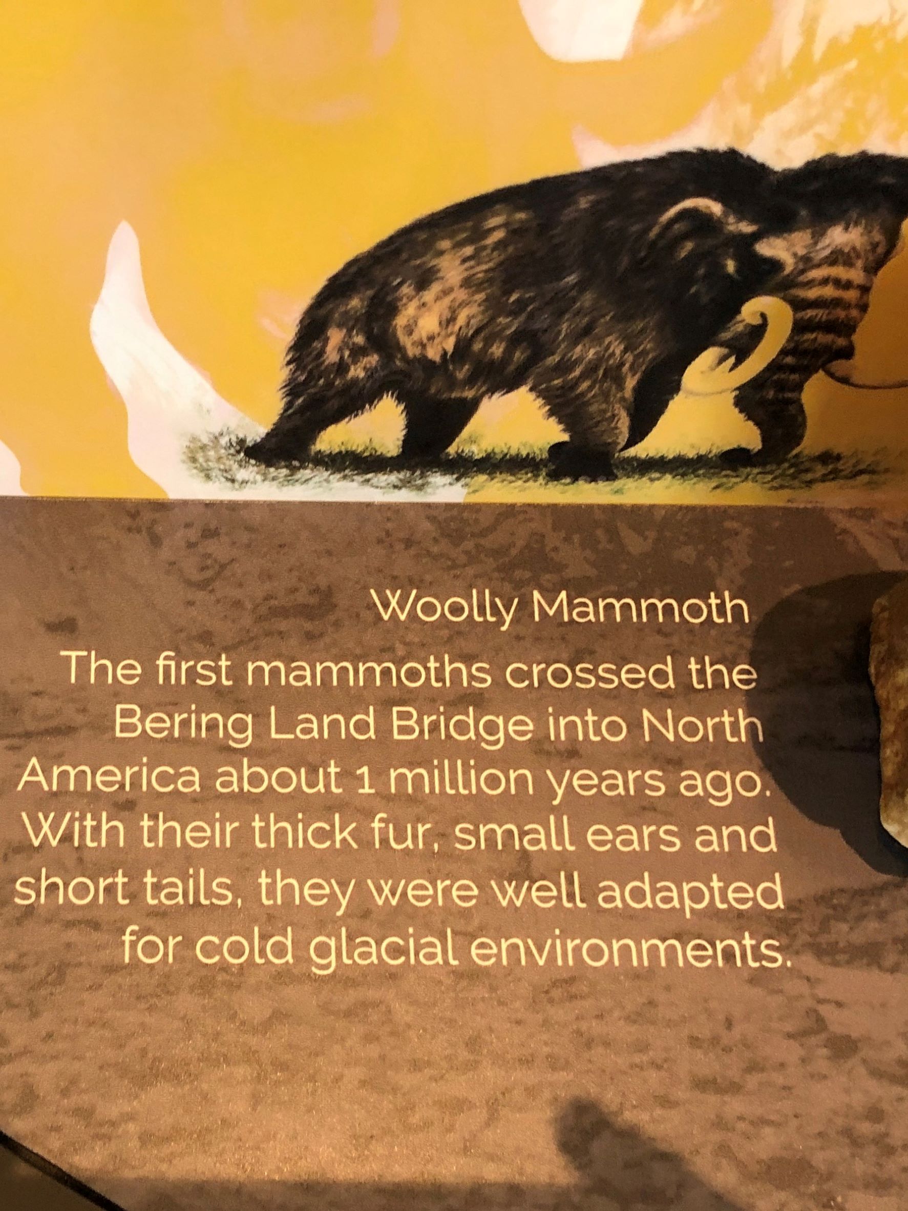
There was a Woolly Mammoth skeleton on display
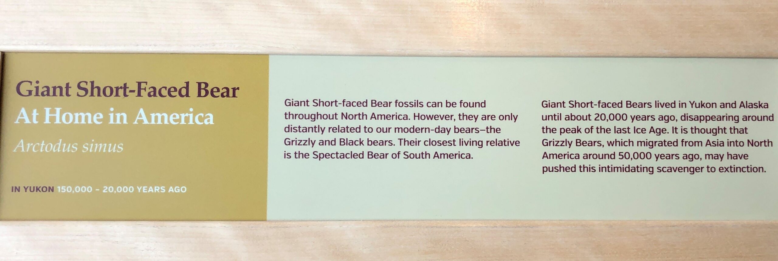
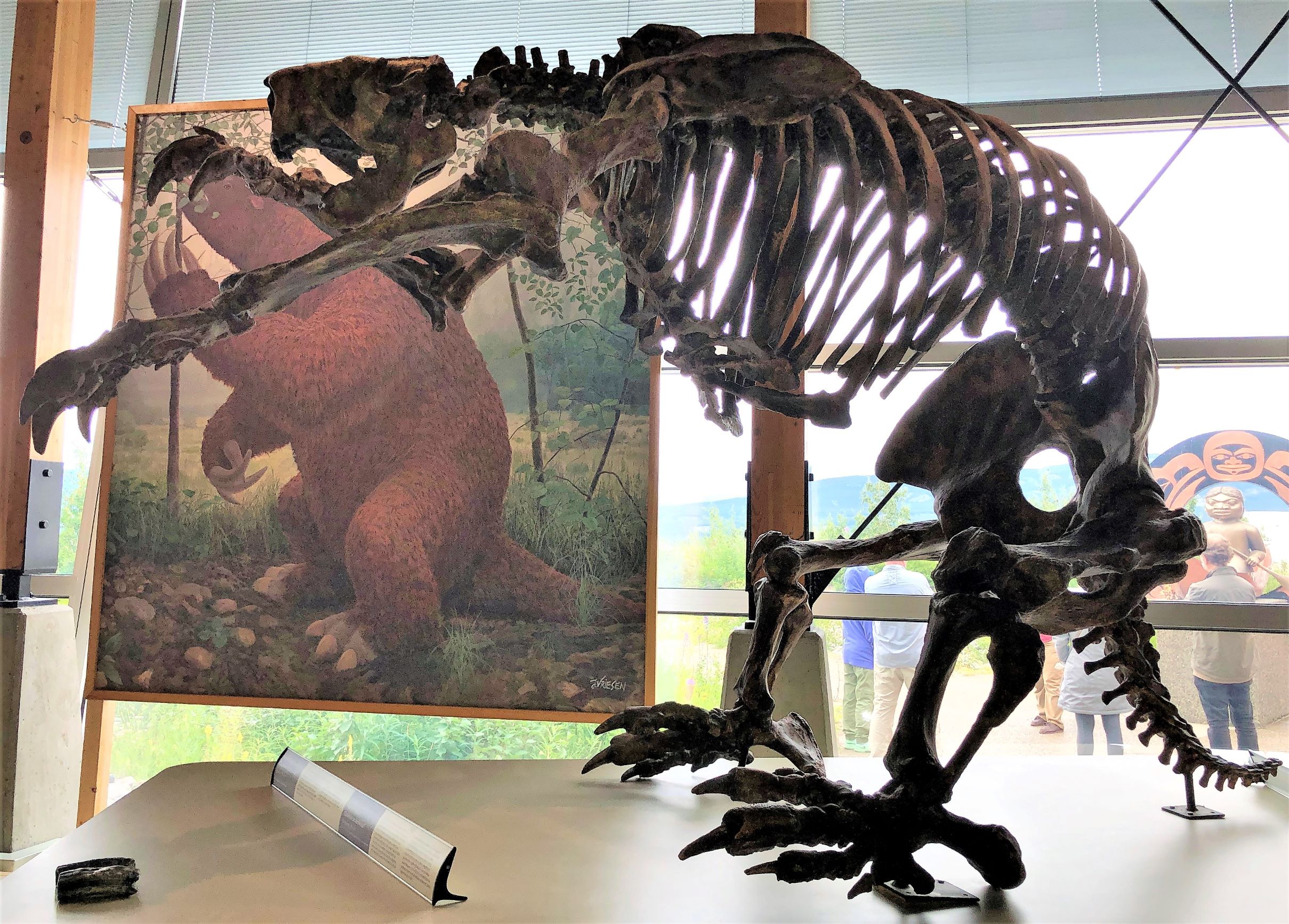
And a Giant Short-Faced Bear.
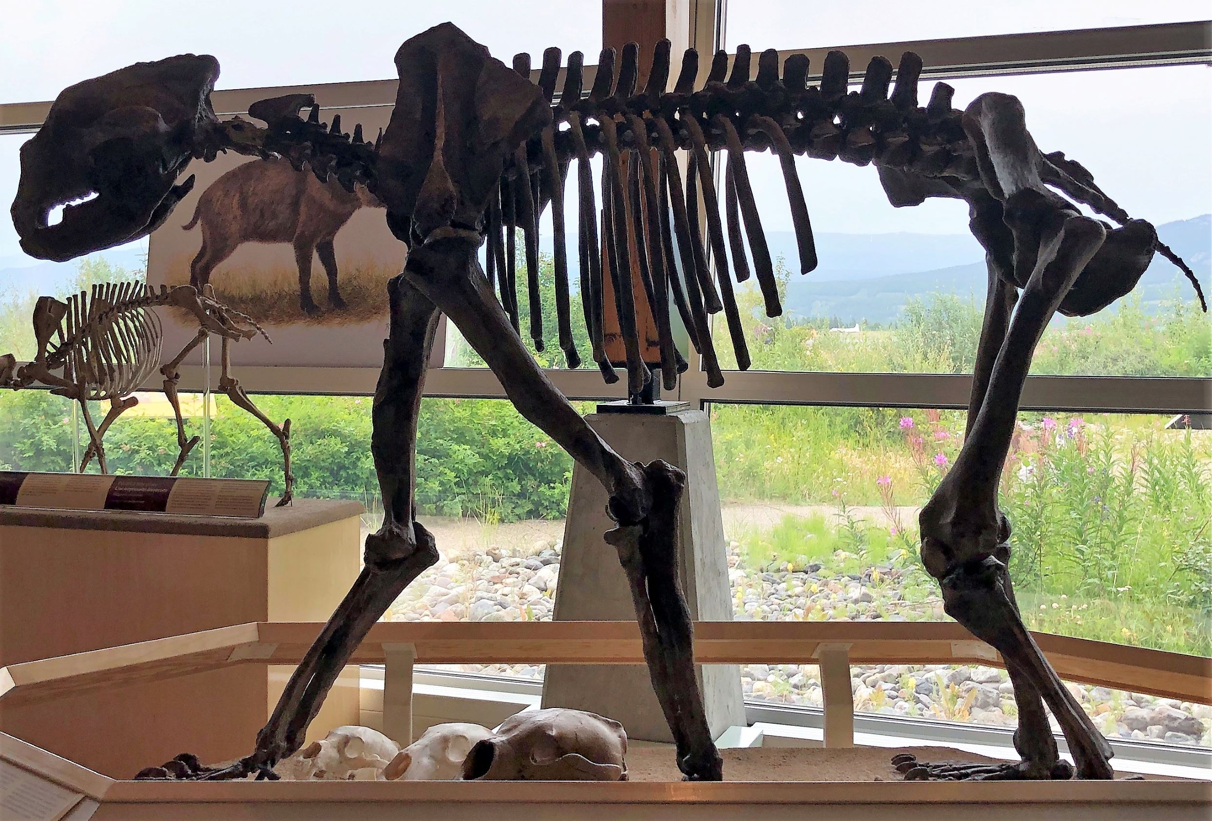
As well as a Jefferson’s Ground Sloth.
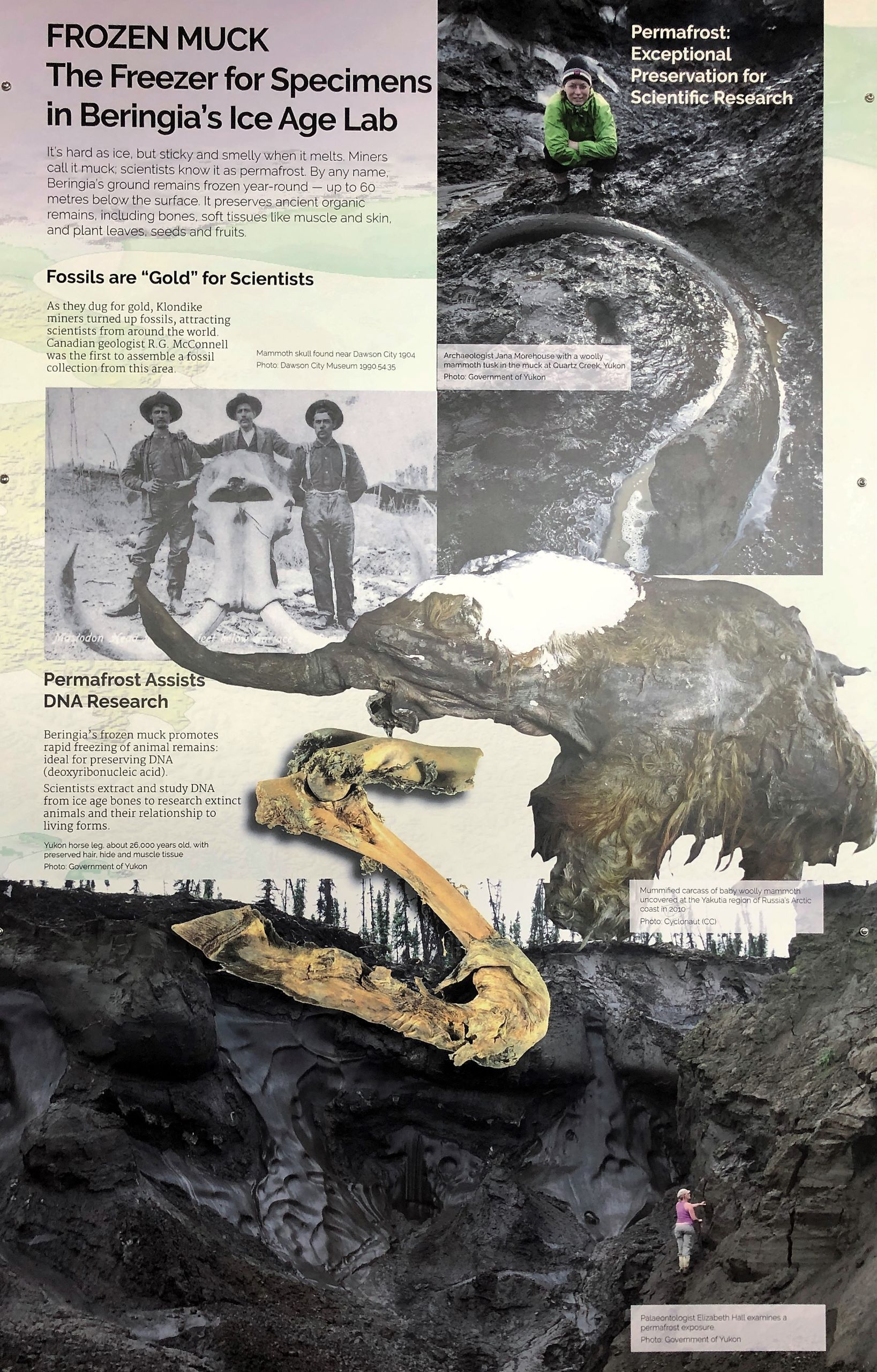
Permafrost – stays frozen year-round – preserving ancient organic remains. Gold miners turned up fossils like this mammoth skull found by miners in 1904, a baby wooly mammoth was found in 2010 and a Yukon horse leg was also found in the permafrost.
We are not scientists – just showing information presented at the centre.
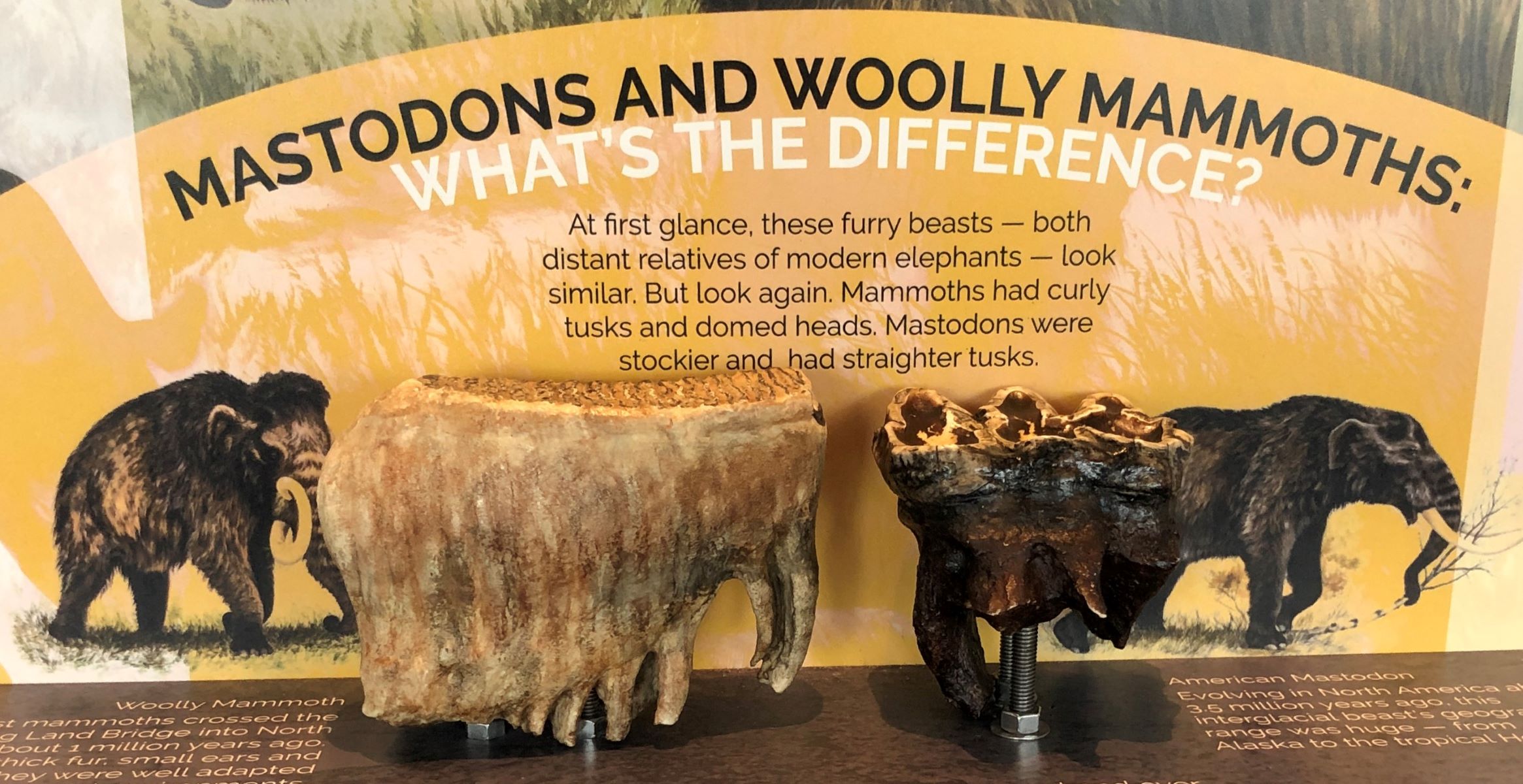
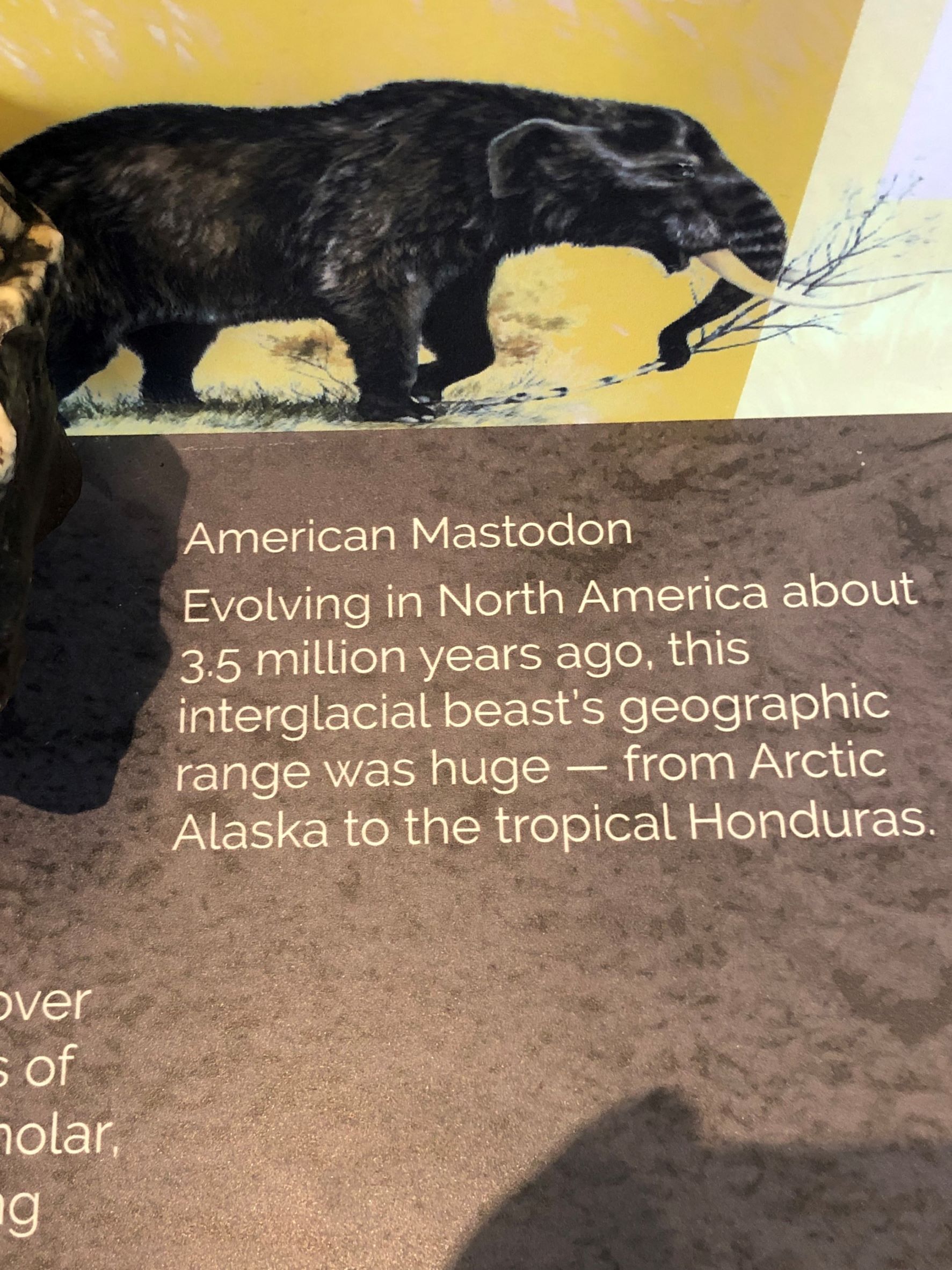
Ever wonder what the difference was between Woolly Mammoths and Mastodons?
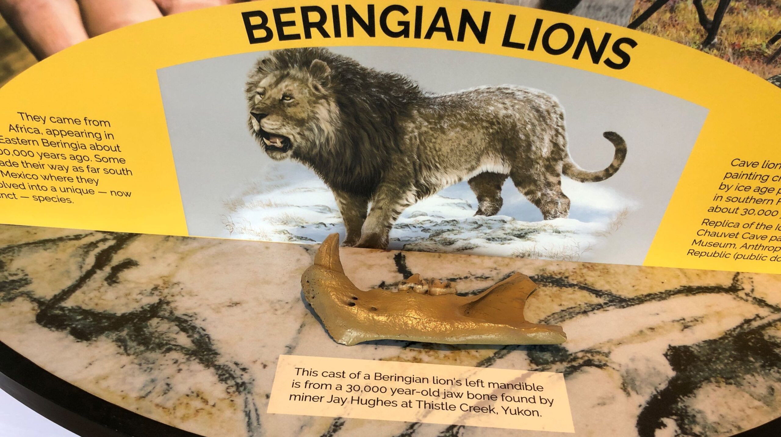
Speaking to one of the docents, he mentioned that they now think the Beringian Lions did NOT have a mane – how would they know if it did or did not?
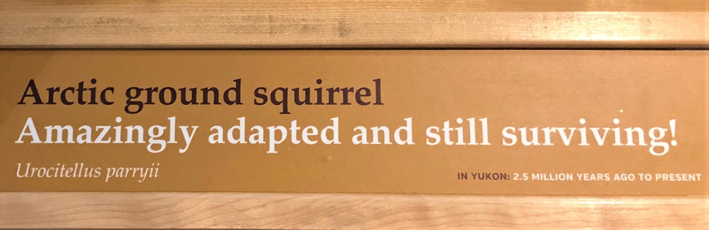
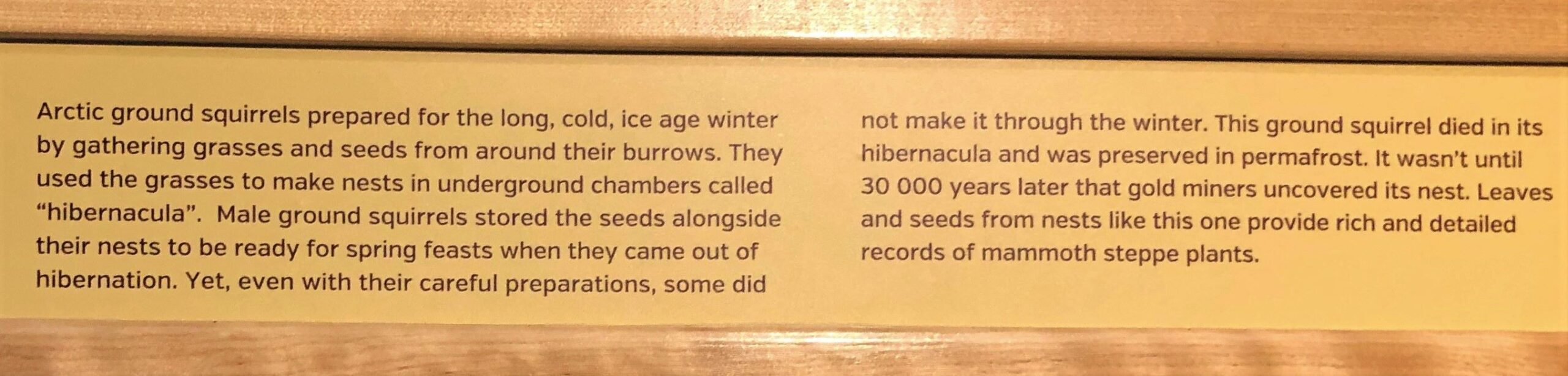
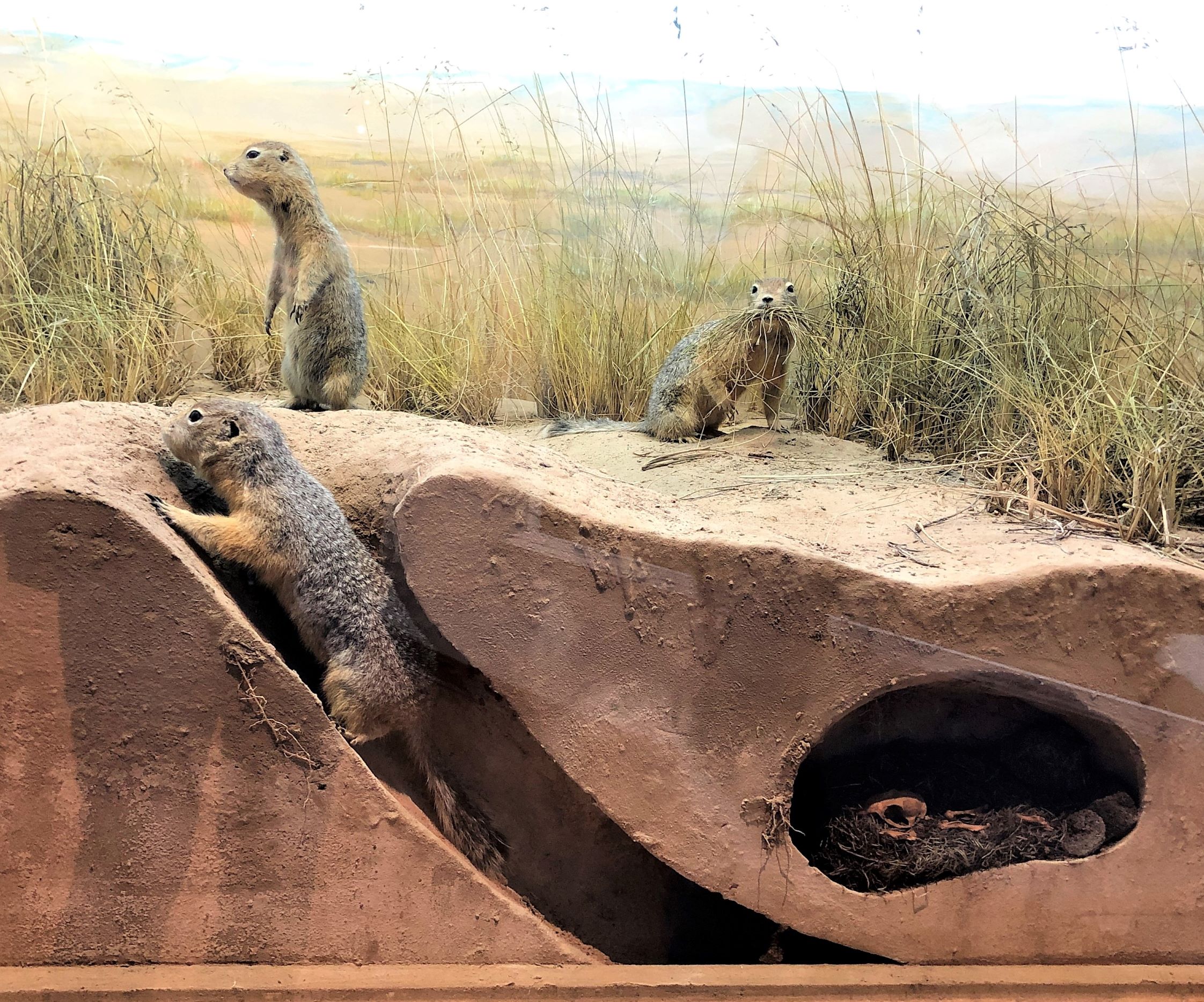
Well, we HAD to include the arctic squirrel!
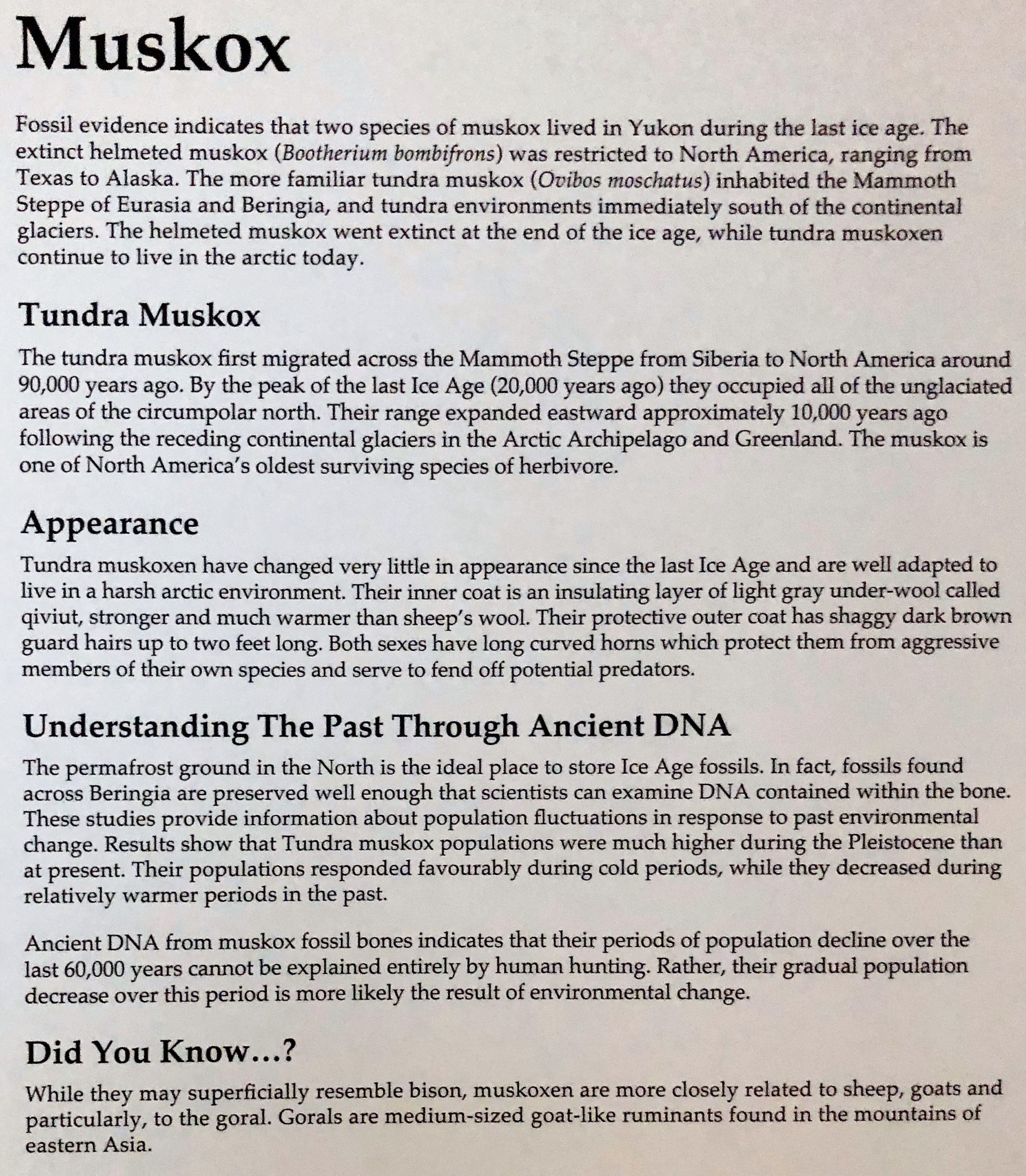
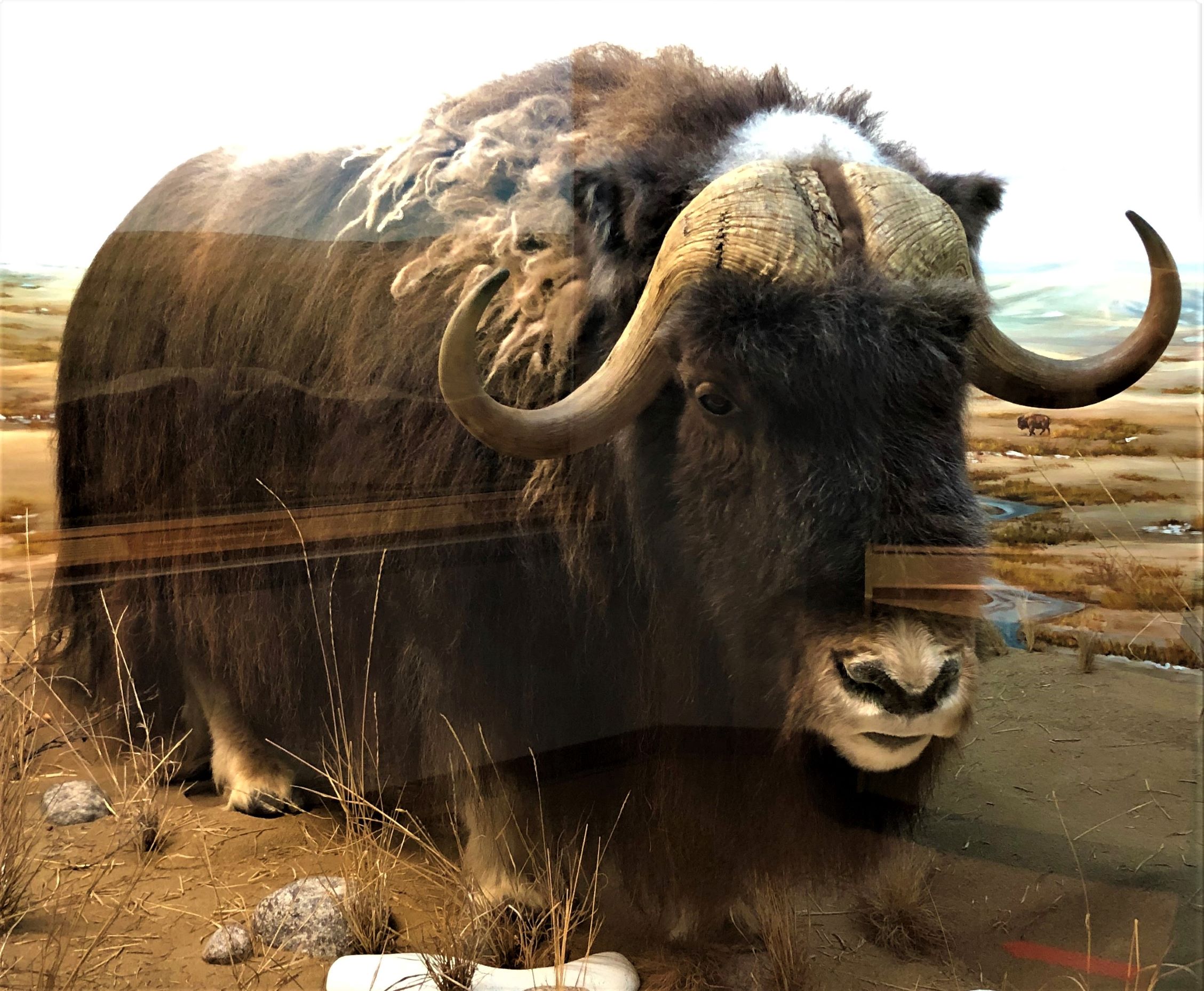
We have not yet had an opportunity to see a live muskox – a most unusual animal!
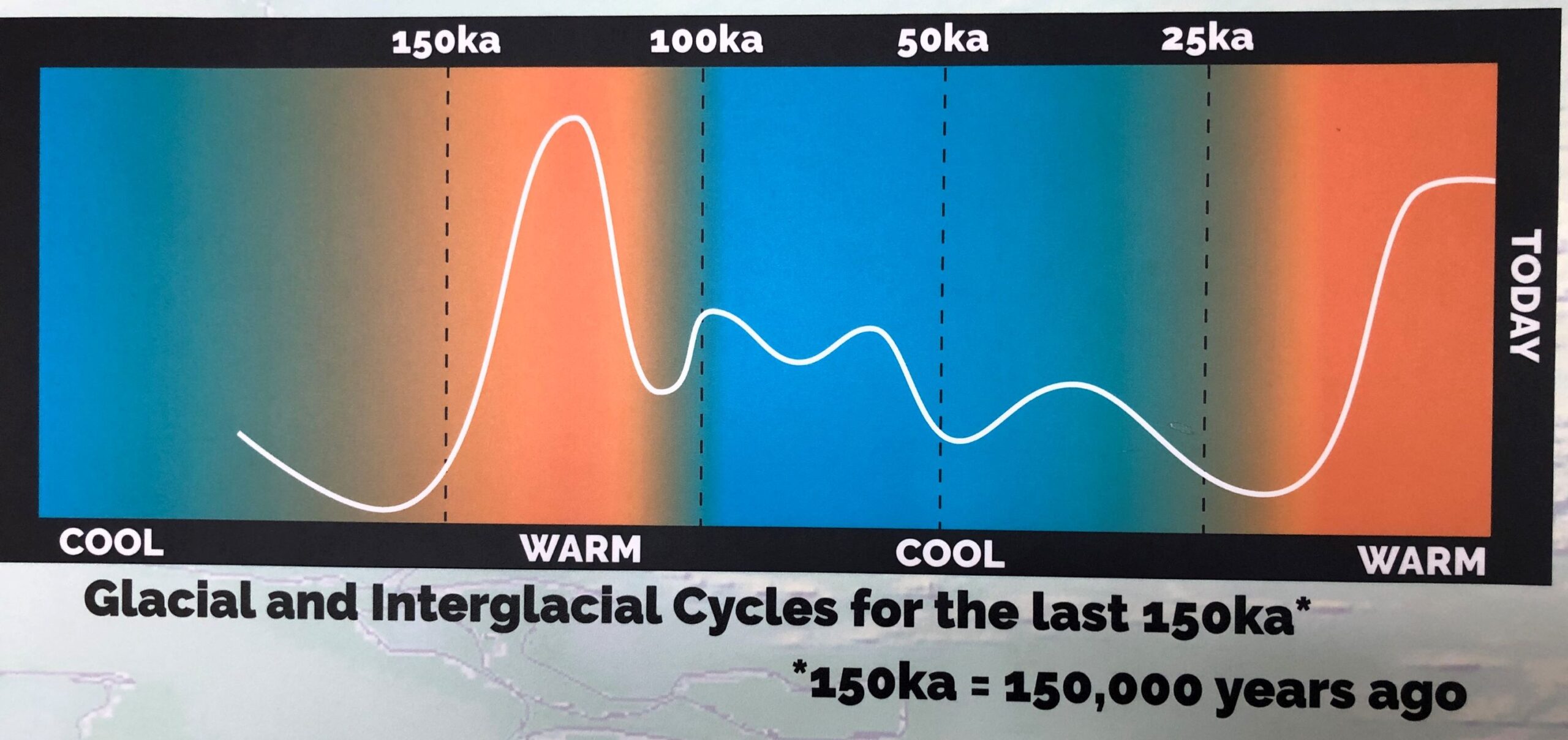
Apparently “global warming” and “climate change” are not new phenomena – we watched a movie that showed how earth’s orbit changes over time and that affects climate (not anything that man did contributed to the climate change).
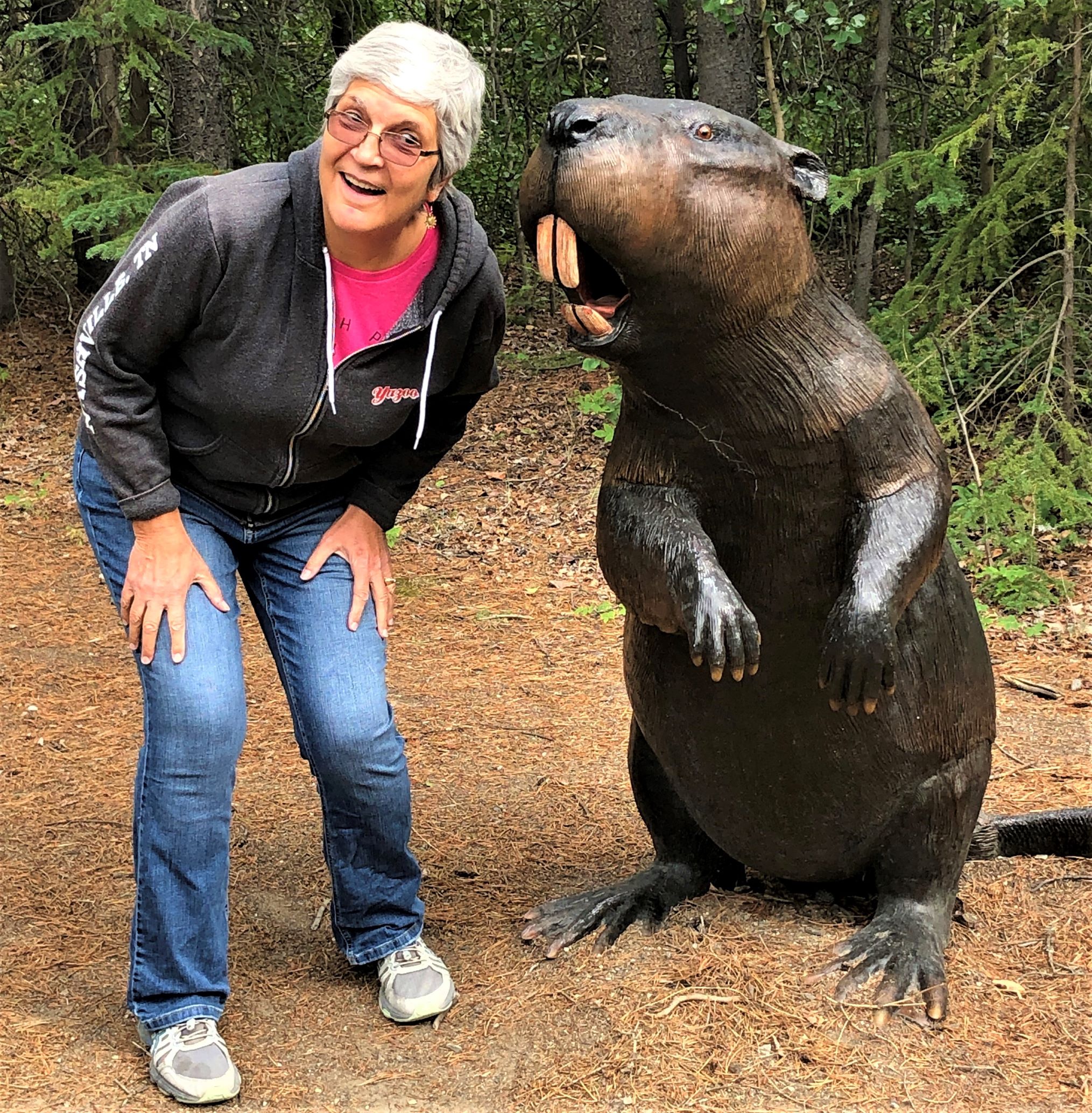
As we headed back to the parking lot, this Giant Beaver whispered into Linda’s ear “you need to believe” …hmmm … maybe only some of it!
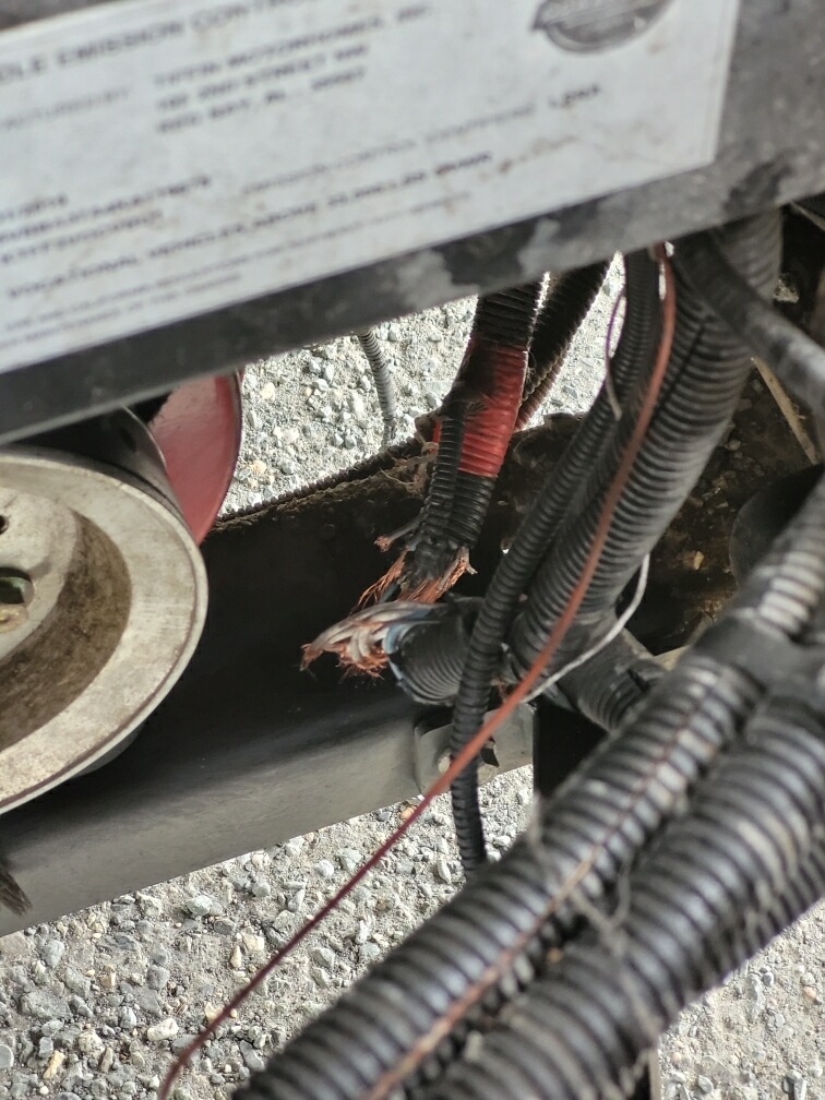
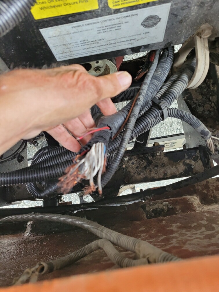
We heard the bad news that Fred and Betty had a belt break in their motorhome’s engine that tore up an electrical harness. Fortunately, they were able to get safely off the road and limped into a rest area. They will have to wait until tomorrow for a tow to bring them to Whitehorse and wait till Monday to be looked at by the repair shop. We sure will miss them.
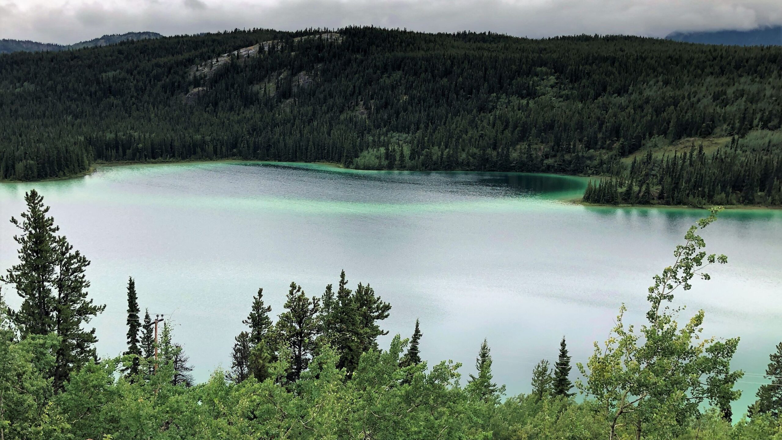
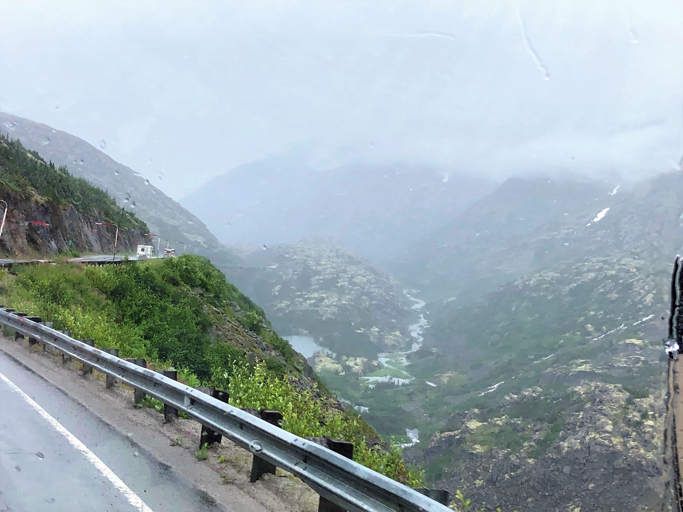
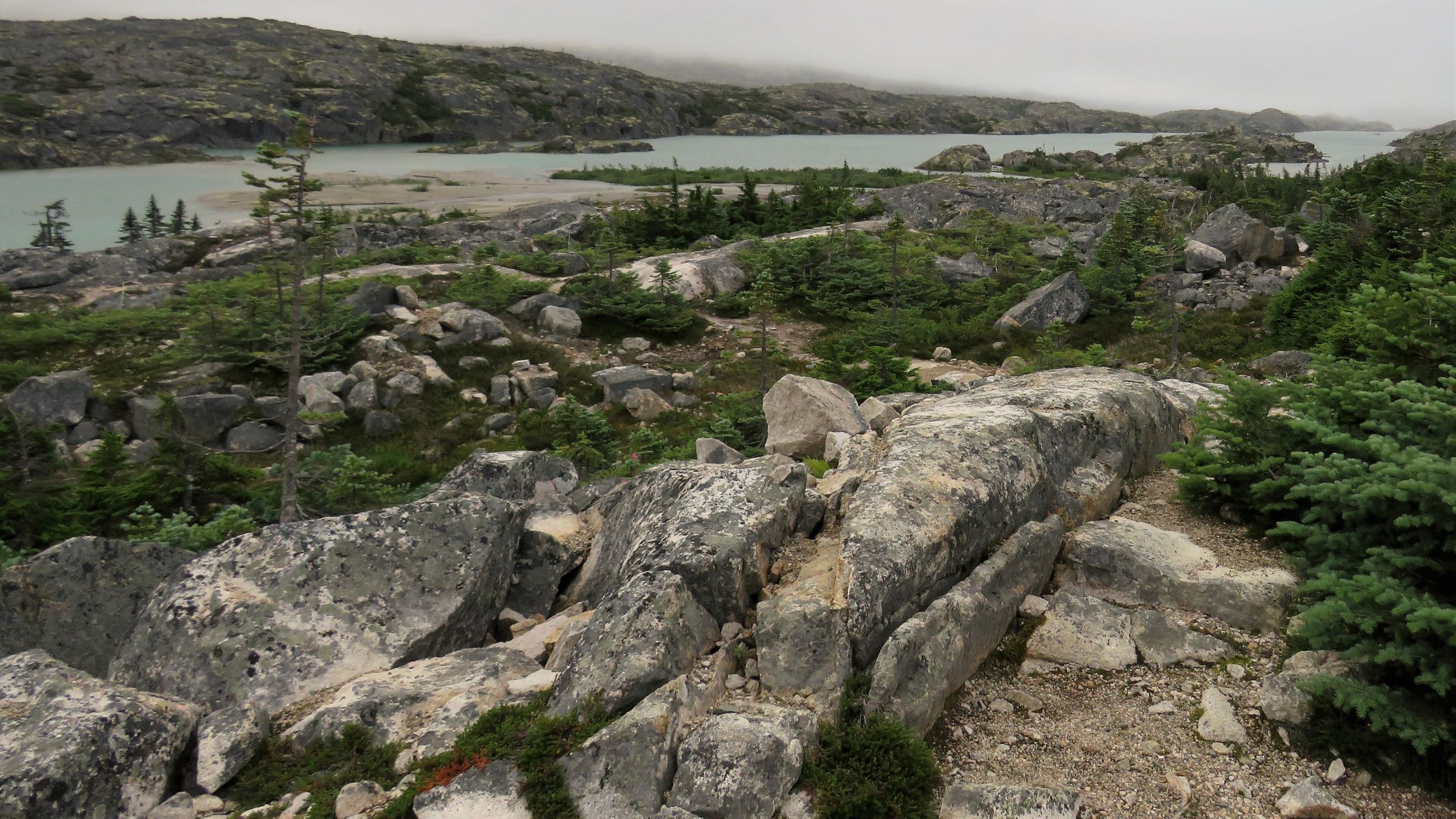
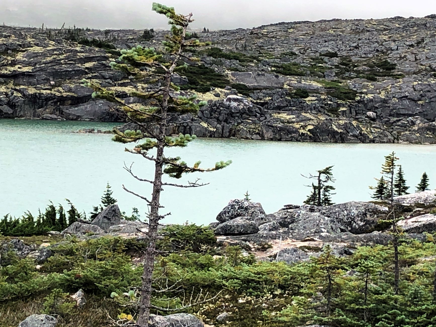
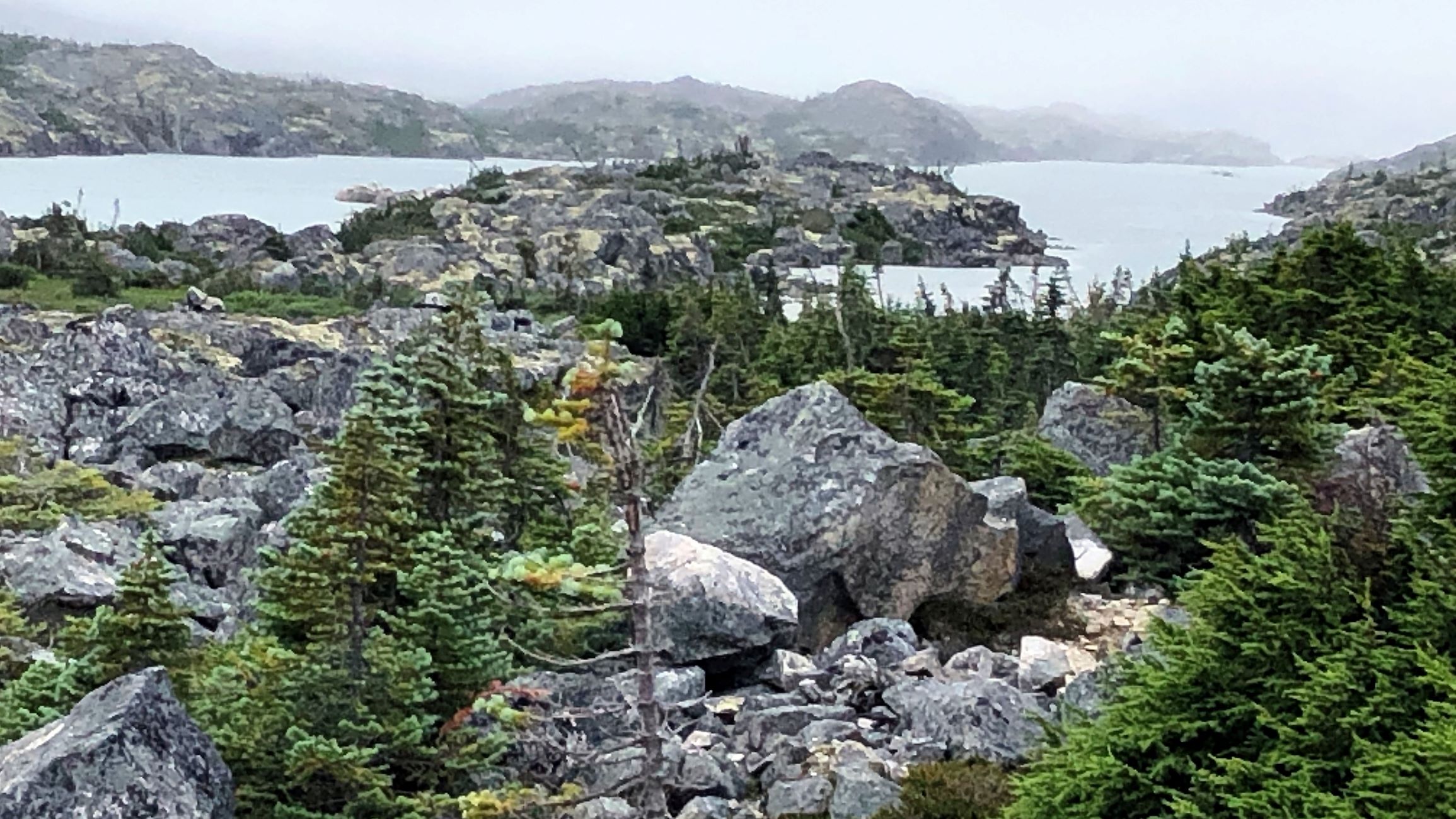
Thursday July 28, we left Whitehorse at 10:40 with Acey’s mileage at 90, 519.4 and Thor’s 104,919. With a border crossing and a time change we took our time this morning! We can’t check in until 12:30 Alaska time which is 1:30 Yukon time! Again, the drive was quite picturesque, and it was hard not to take photos! We drove past Caribou Crossing where we visited on our first stop in Whitehorse and we stopped to look again at Emerald Lake.
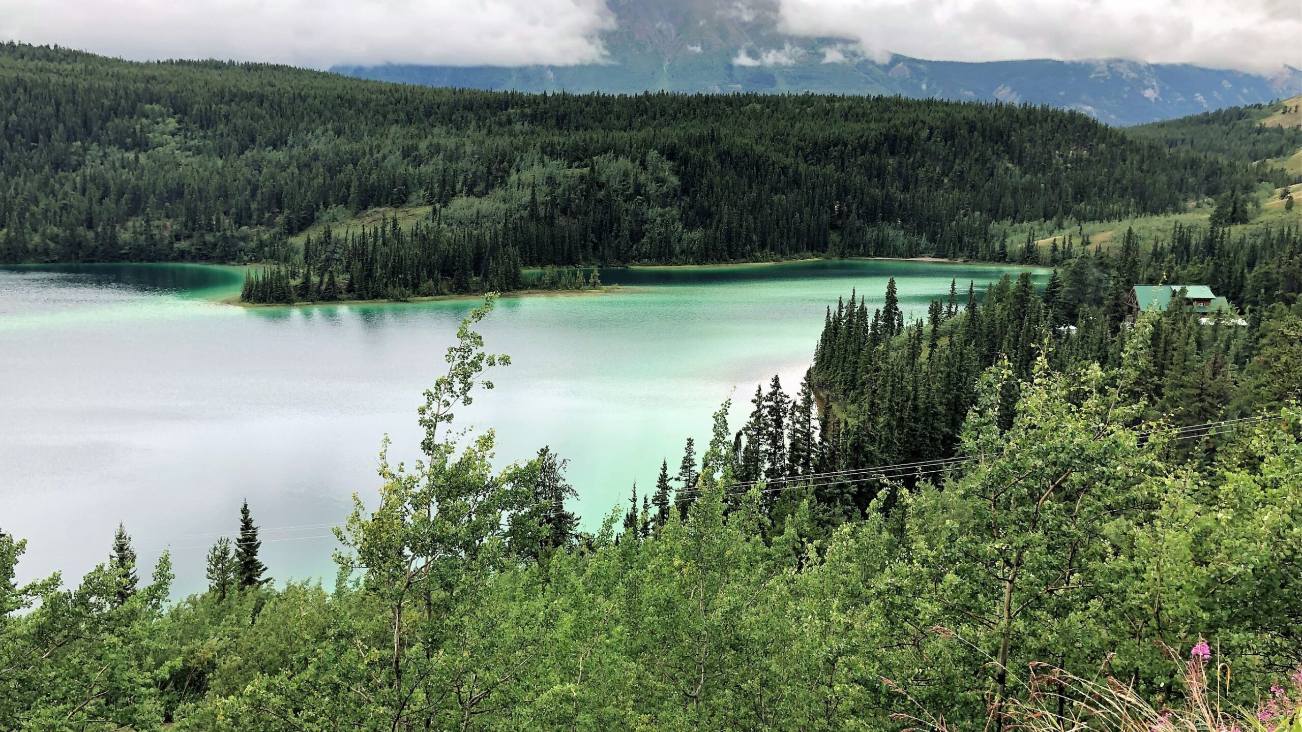
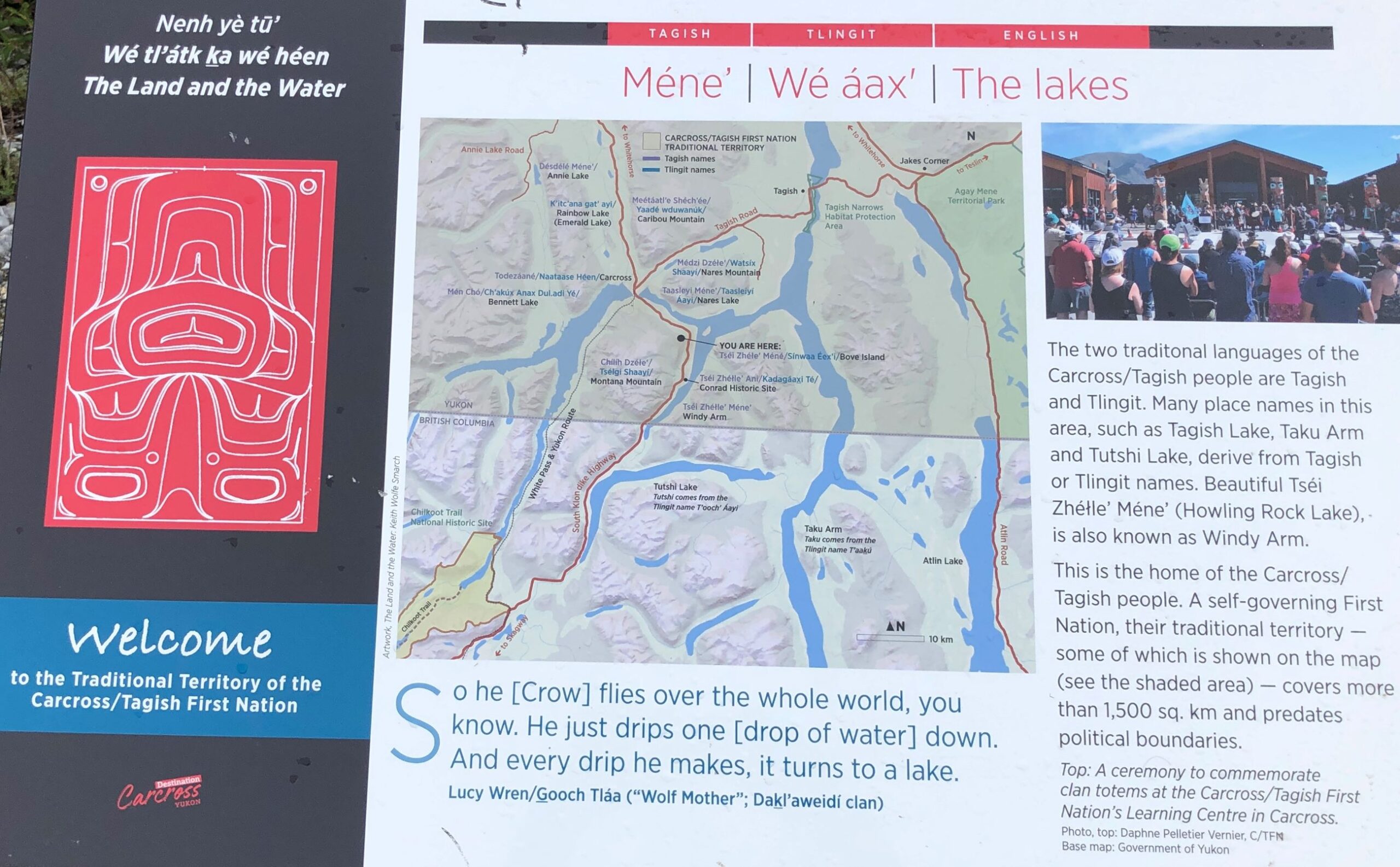
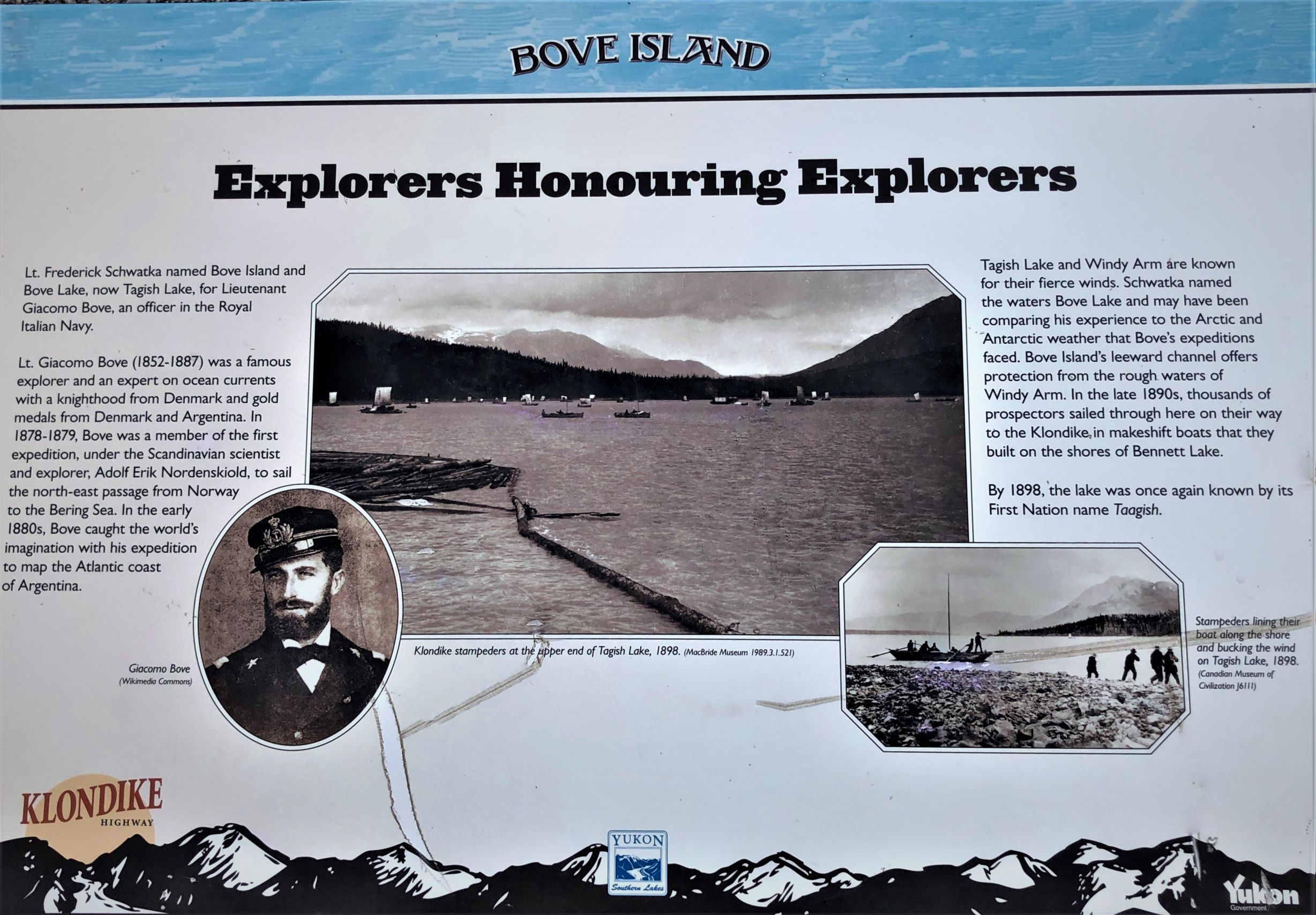
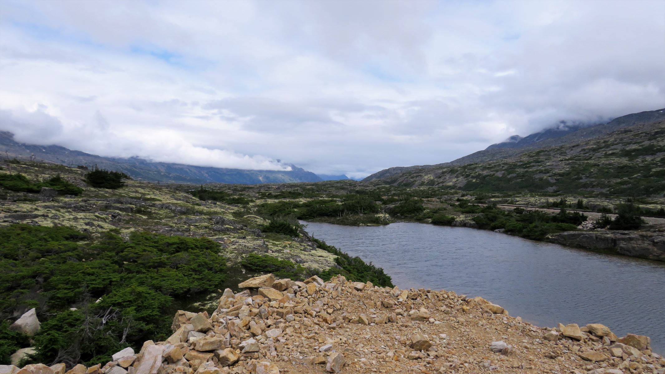
And then we stopped — to look at Bove Island – well actually we discovered we are ON Bove Island! This lake is part of a chain of lakes that leads to the Yukon River – and to Dawson City. Stampeders built boats on the shore here to get to Dawson City!
We soon caught up with 3 other RVs that are in our caravan group!
It began to rain again as we neared the US border and the unusual rock formations on the way to Skagway. The yellow color is from lichen growing on the rocks.
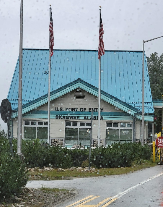
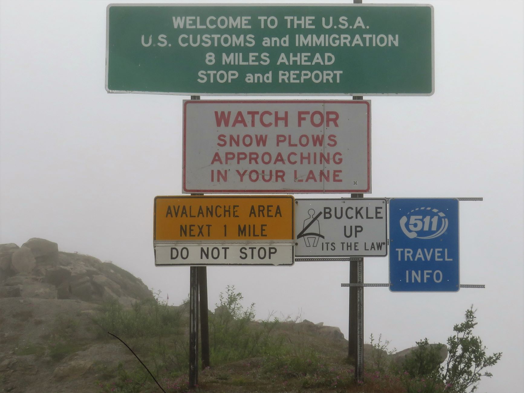
We crossed the border into Alaska and are really high up!
We got through US Customs – they took our tomatoes that we bought yesterday and a piece of ham from the freezer that was a portion of ham steak not in its original package. Most of our friends also lost tomatoes, limes, eggs and oranges.
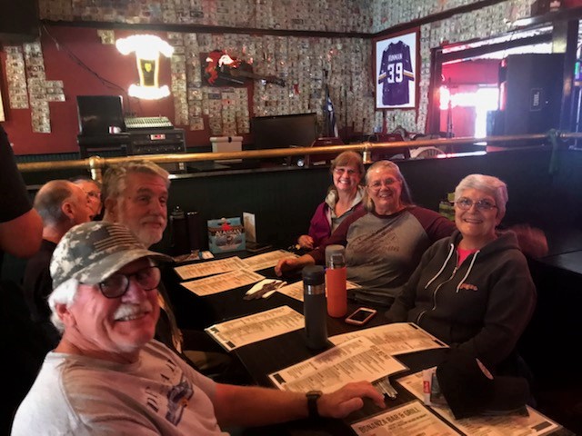
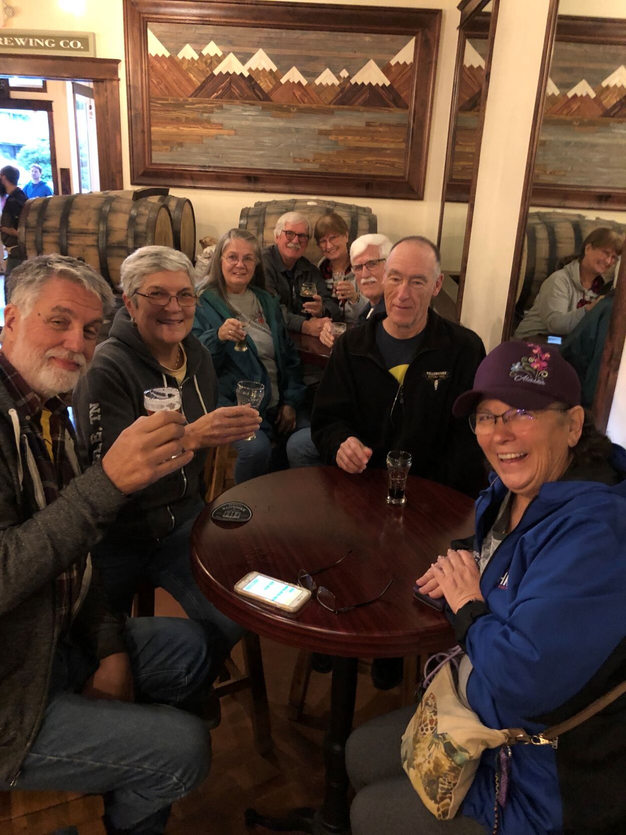
We arrived at Garden City RV Park in Skagway at 1:00. We only have electric hook up here (30 amp) no water or sewer. We joined Lee and Kimberly for a visit to Skagway Brewing; we must remember to take photos next time!
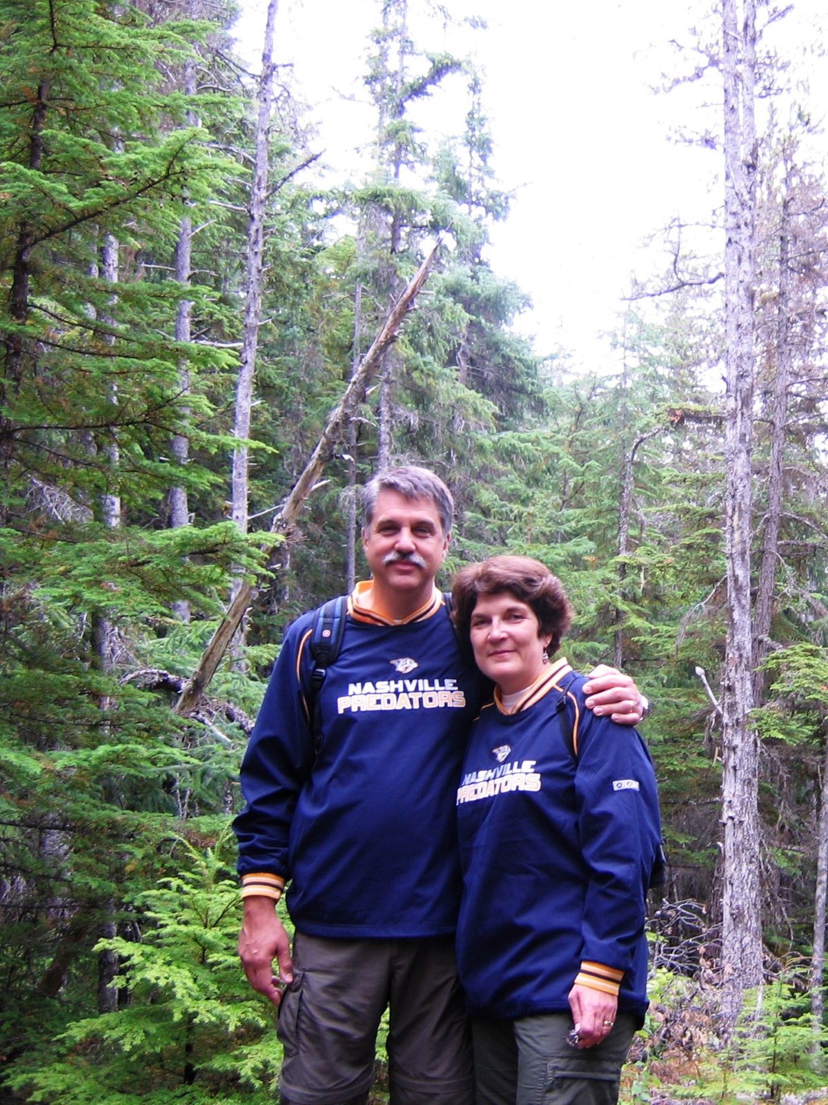
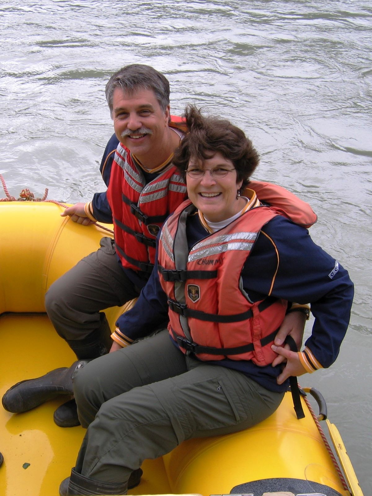
Later, we were recalling our visit to Skagway when we took our first cruise to Alaska and found photos on the computer! On July 19, 2009, we did a hiking/rafting excursion. We hiked part of the Chilkoot Trail that the gold mine stampeders hiked and then rafted on the Skagway River!
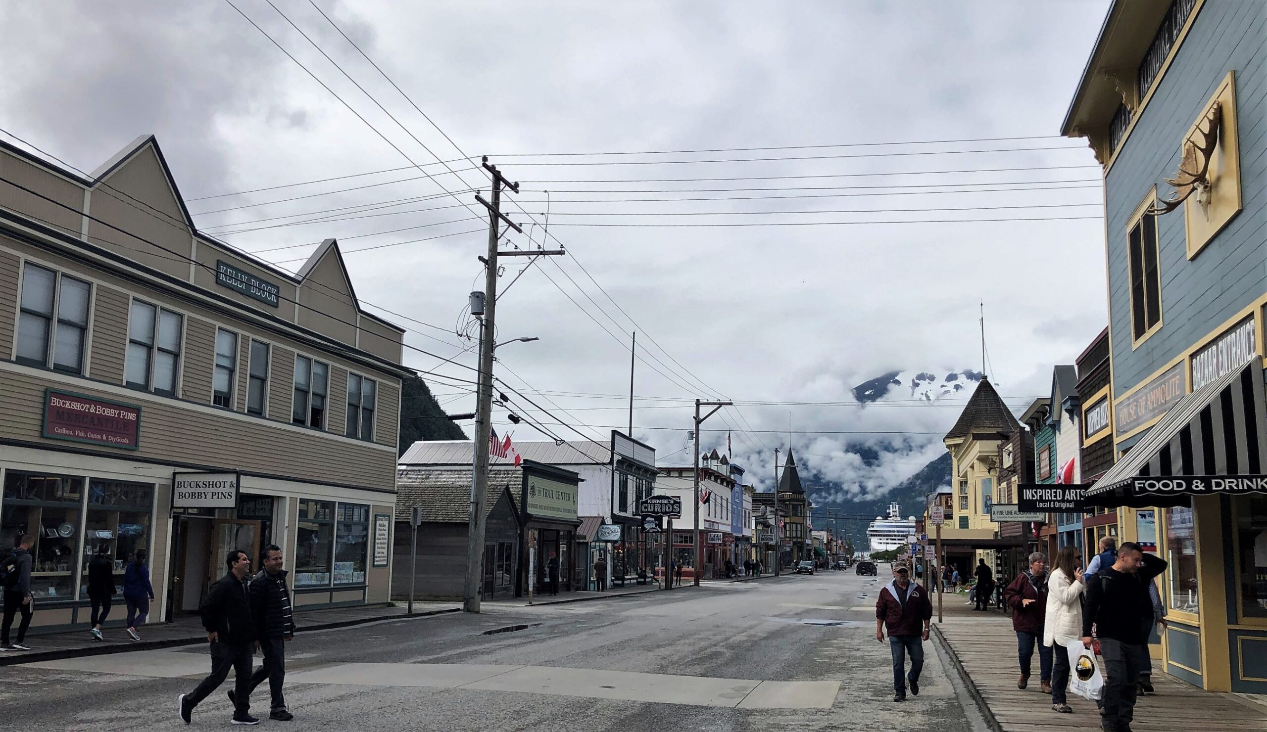
Friday morning, we went to check out Skagway on our own – rather quaint with wooden sidewalks.

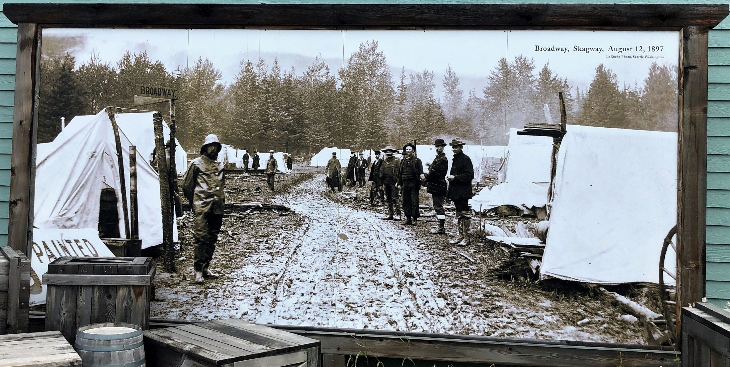
We visited the Klondike Gold Rush National Historic Park. Broadway looked just a bit different in 1897!
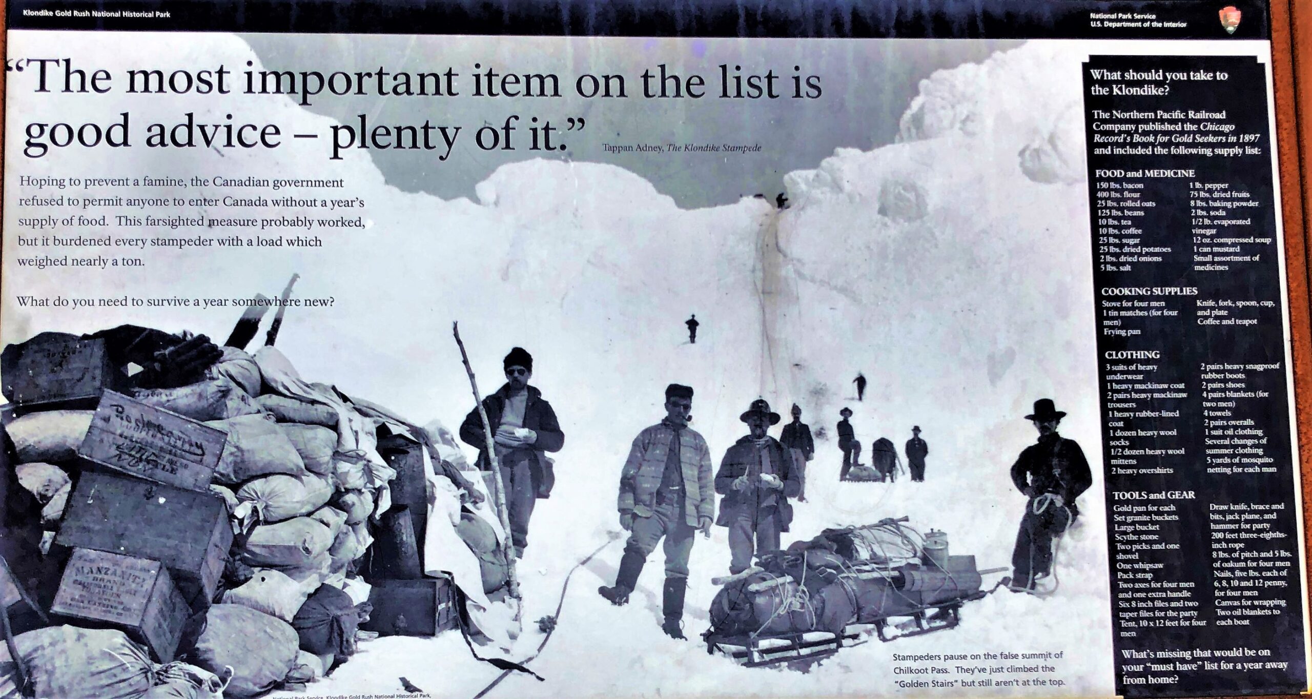
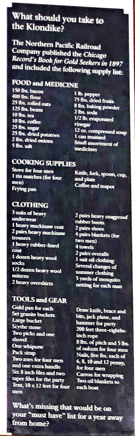
We were again reminded of the “ton of goods” each stampeder was required to have on their journey to the Klondike to search for gold. Enough supplies to last 1 year!
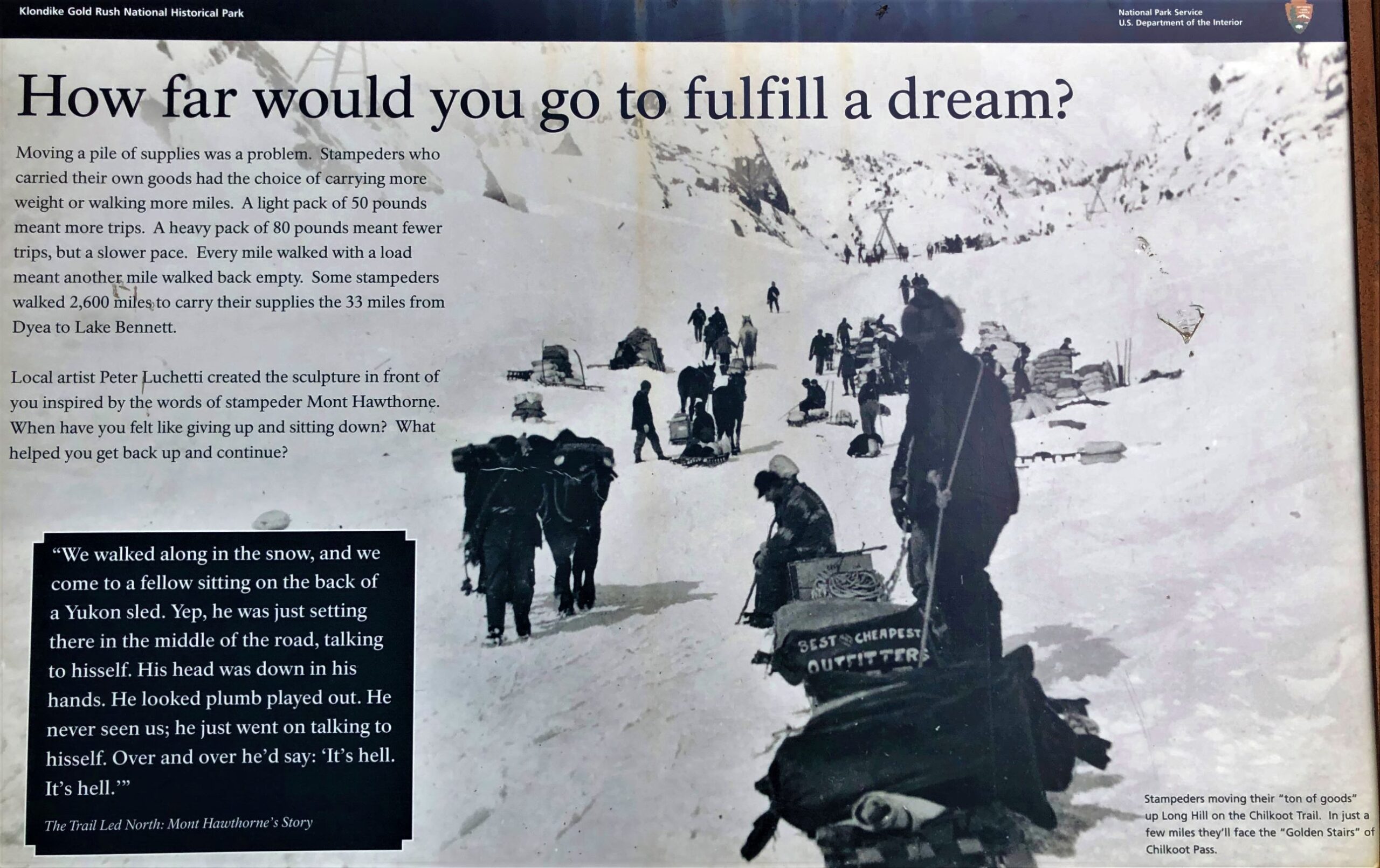
We saw a display of the “ton of goods” at Caribou Crossing – rather daunting!
Here is the Skagway Centennial Marker.
The inscription tells a history of the gold rush: “Skagway was originally spelled S-K-A-G-U-A, a Tlingit Indian word for “windy place.” The first people in the area were Tlingits from the Chilkoot and Chilkat villages in the Haines-Klukwan area. From a fish camp in nearby Dyea, they used the Chilkoot Trail for trading with the First Nations people of the Yukon Territory. The windy Skagway valley was favored for hunting mountain goats and bear, but no one settled here until 1887. That June, Skookum Jim, a Tlingit from the Carcross-Tagish area, encountered members of the William Ogilvie expedition, a Canadian survey party that came north to map the country. Captain William Moore, a member of the party, was persuaded by Skookum Jim to follow him up a lower pass through the mountains, while the others took the Chilkoot route. Leaving this beach, the two journeyed up the Skagway valley to Lake Bennett, meeting the other party seven days later. The two men were excited and extolled the advantage of this new route through the mountains. Ogilvie at once named it for Sir Thomas White, a Canadian government minister. Moore had visions of a port city served by a railroad and returned to this valley with his son Bernard in October 1887. They built a cabin and a wharf and waited. A small number of prospectors had been entering the north country searching for gold since the 1870’s. It was only a matter of time until a great stampede would bring many more. In August 1896, Tlingits Skookum Jim and Dawson Charlie, along with George Carmack of California, discovered a large amount of gold in Rabbit Creek, a tributary of the Klondike River, some 600 miles from here. The creek was renamed Bonanza, and when word of this strike reached the outside world in July 1897, the Klondike Gold Rush of 1897-1898 was on!
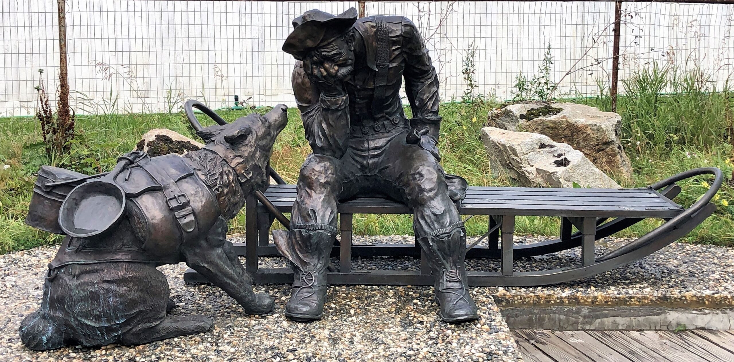
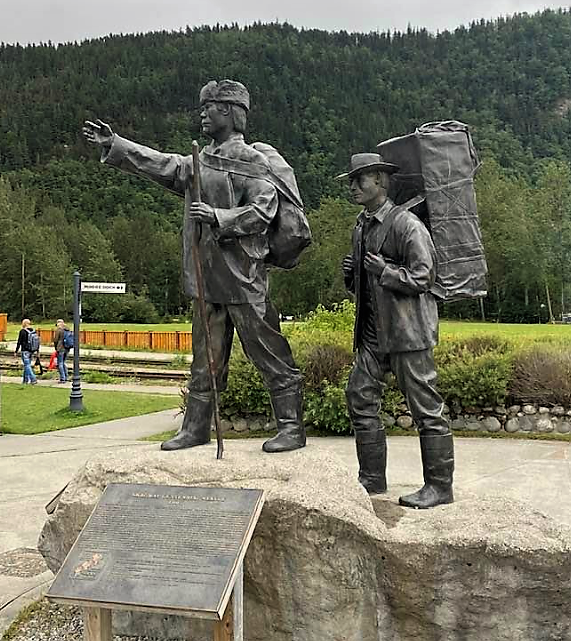
For centuries, the Tlingits controlled these passes. The tide of stampeders forced them to give up control, but native packers still guided would-be prospectors over these mountains, and they were paid handsomely for their work. This sculpture represents a typical scene at the start of the Chilkoot or White Pass trails in August 1897. The Tlingit packer, in his 40’s, has centuries of knowledge about the route from his ancestors. He wears traditional clothing, made of moosehide and bear fur, and carries a pack made from the skin of a mountain goat, held to his back by a tumpline strapped around his chest. He leads a 30-year-old stampeder, just off a ship from Puget Sound, who is determined to reach the gold fields. His pack is a wood-frame box, and outside are strapped his hunting knife, shovel and gold pan, which he hopes will gather riches before winter. With eyes wide open and an eager smile, the stampeder has no apprehension about the rigors of the trail ahead.”
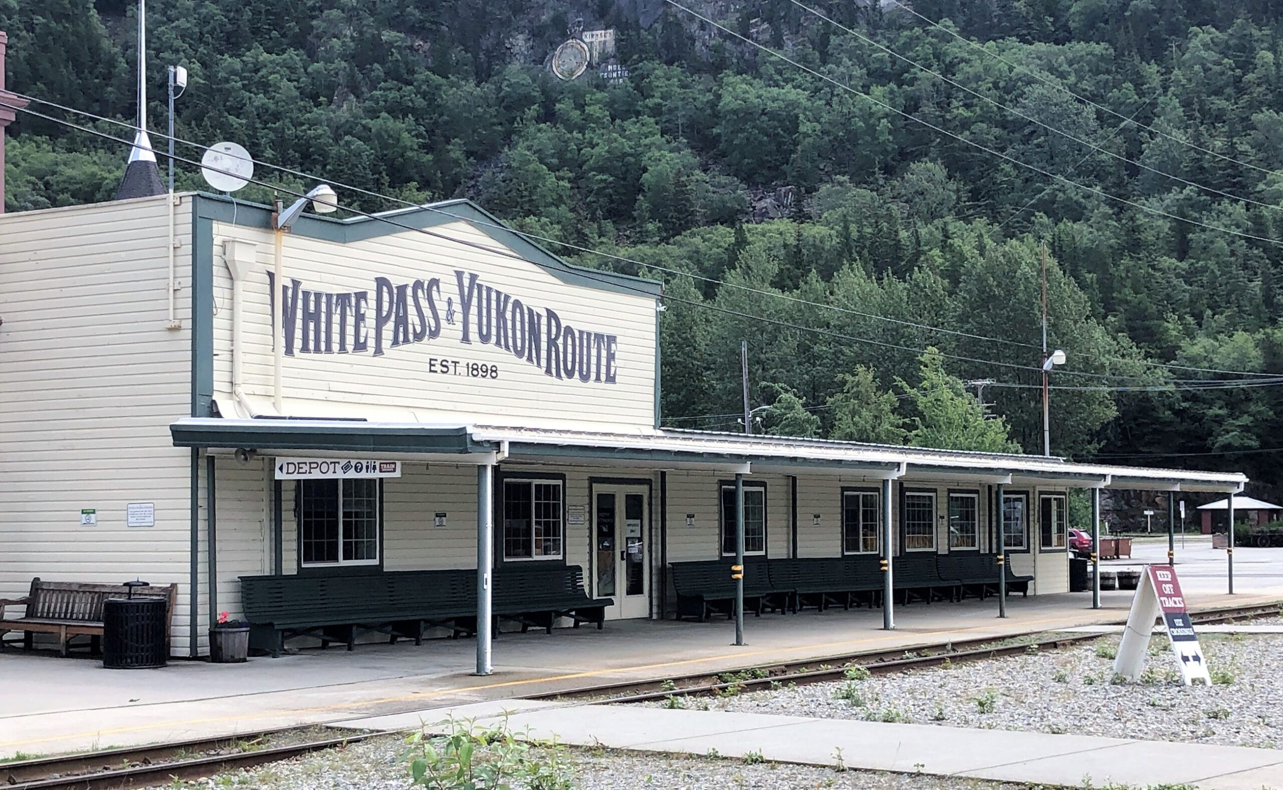
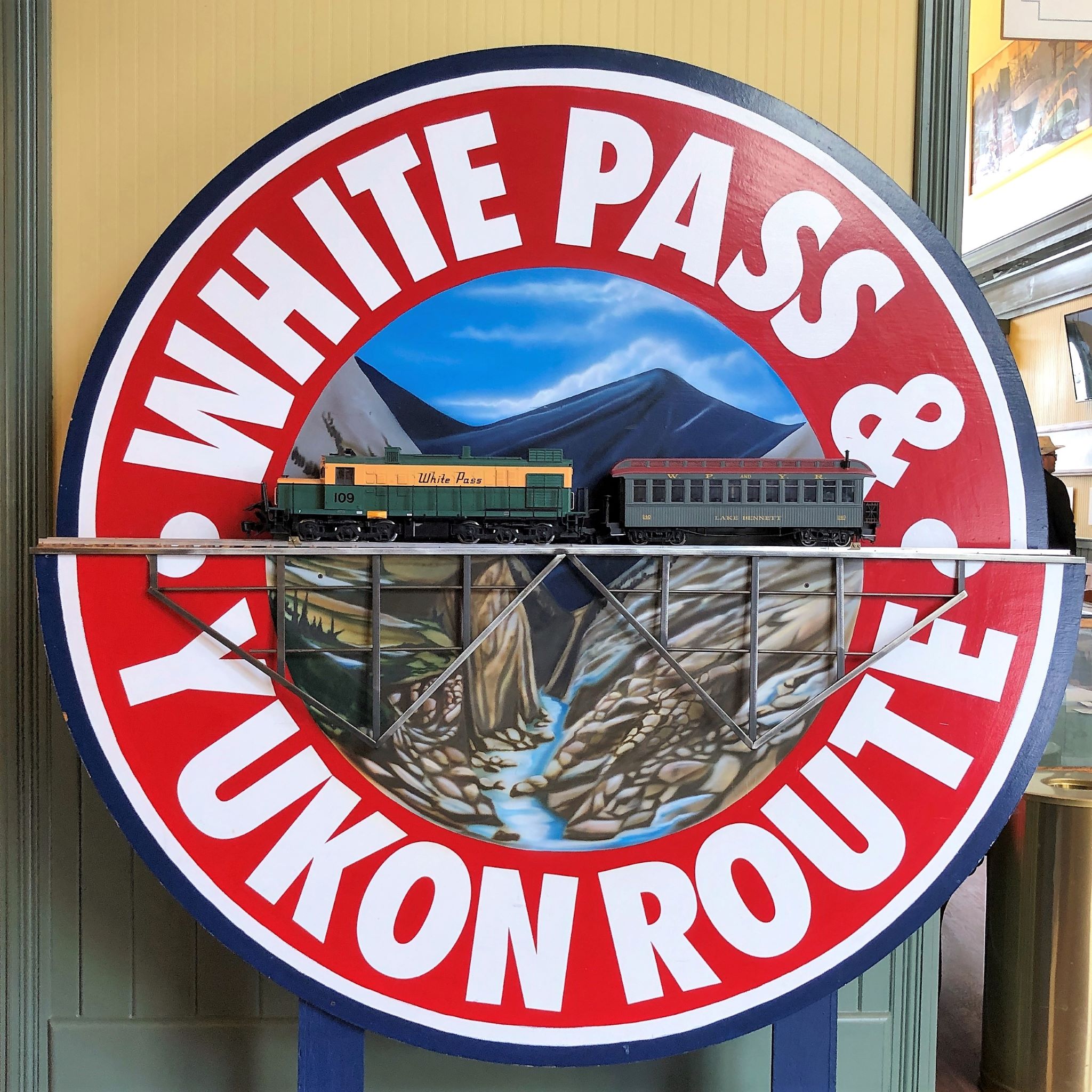
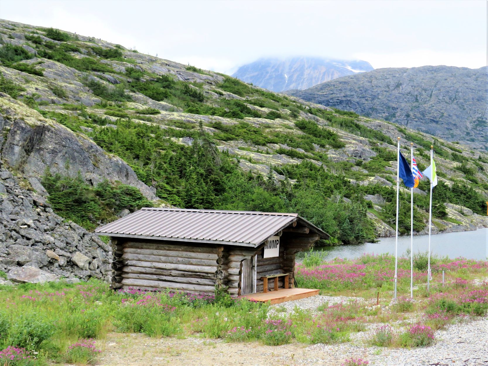
We’ll be taking a train ride later today – here is the train depot.
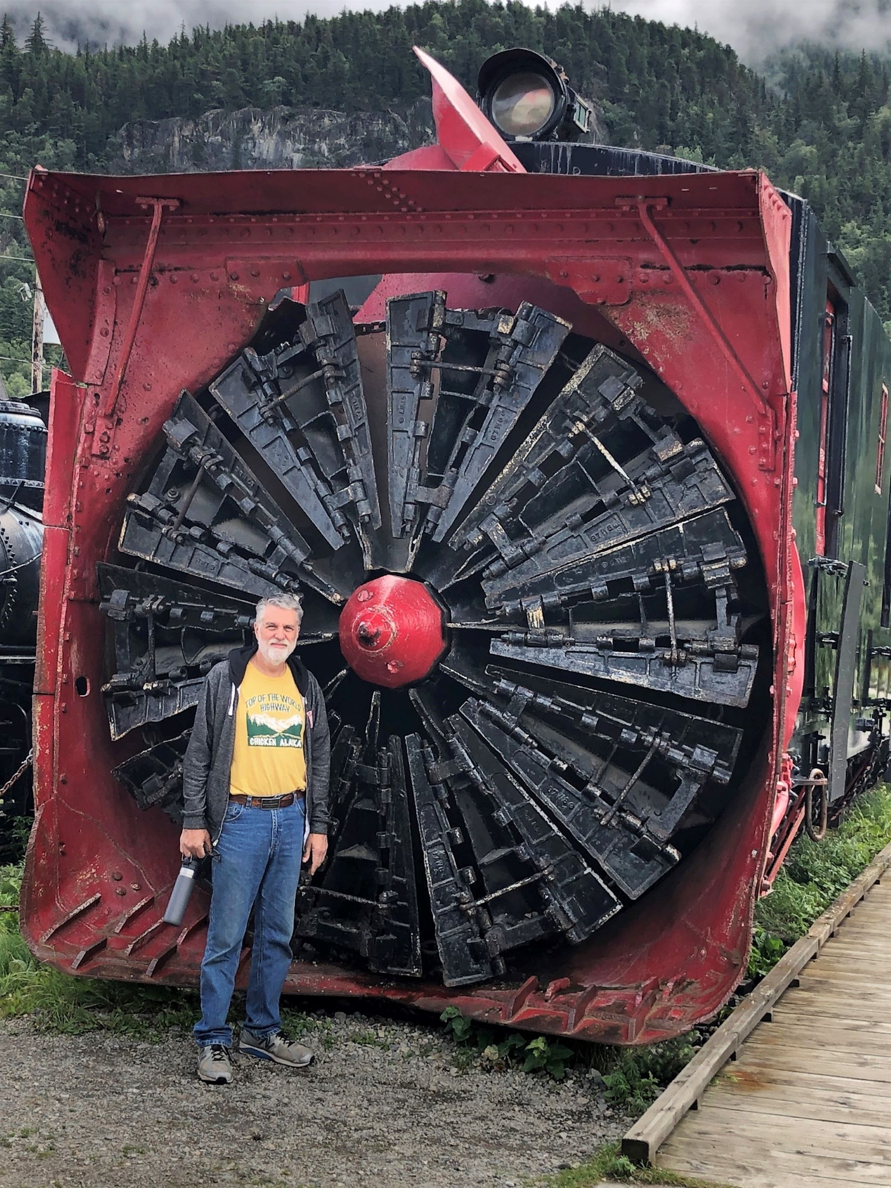
This engine has a snow blower – looks like it ought to do the job of clearing snow off the tracks!
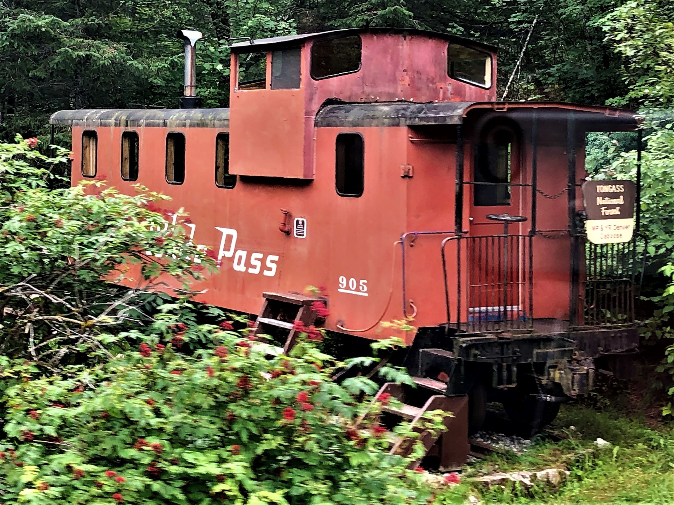
A Red Caboose!
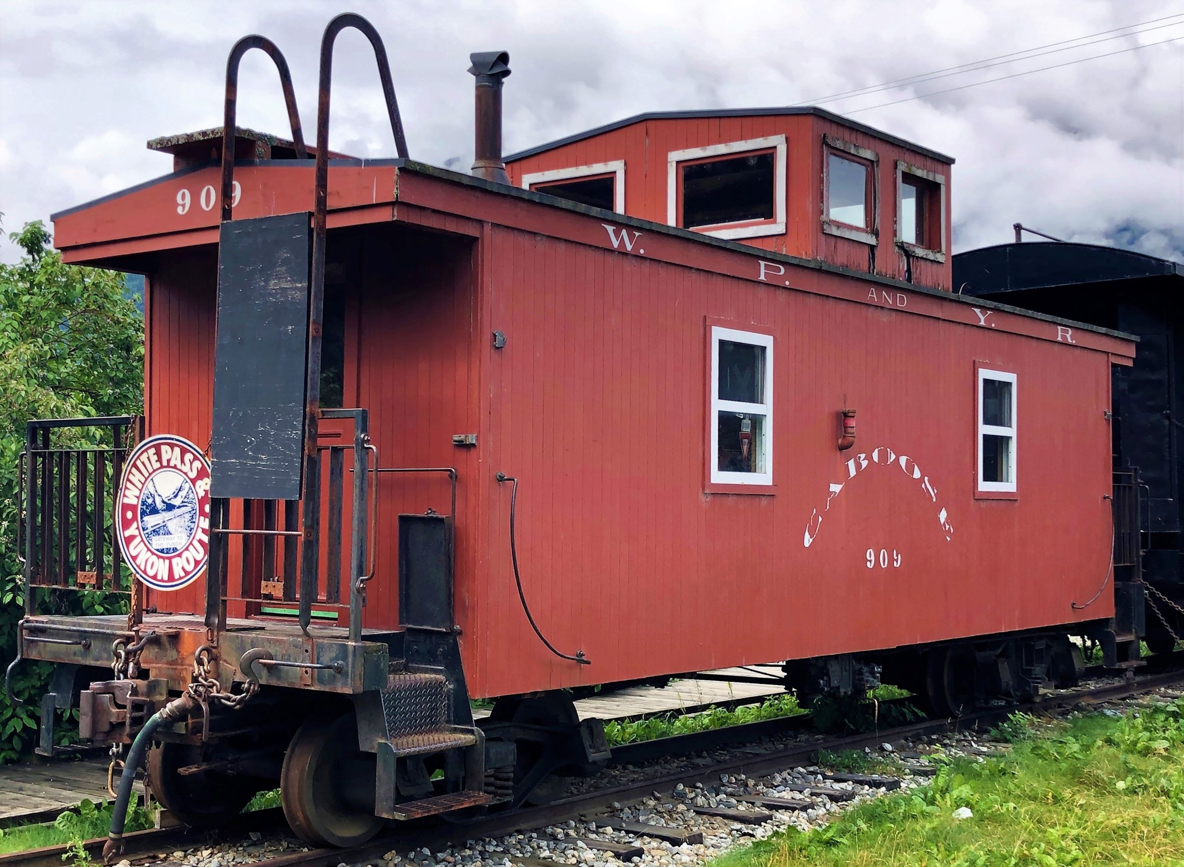
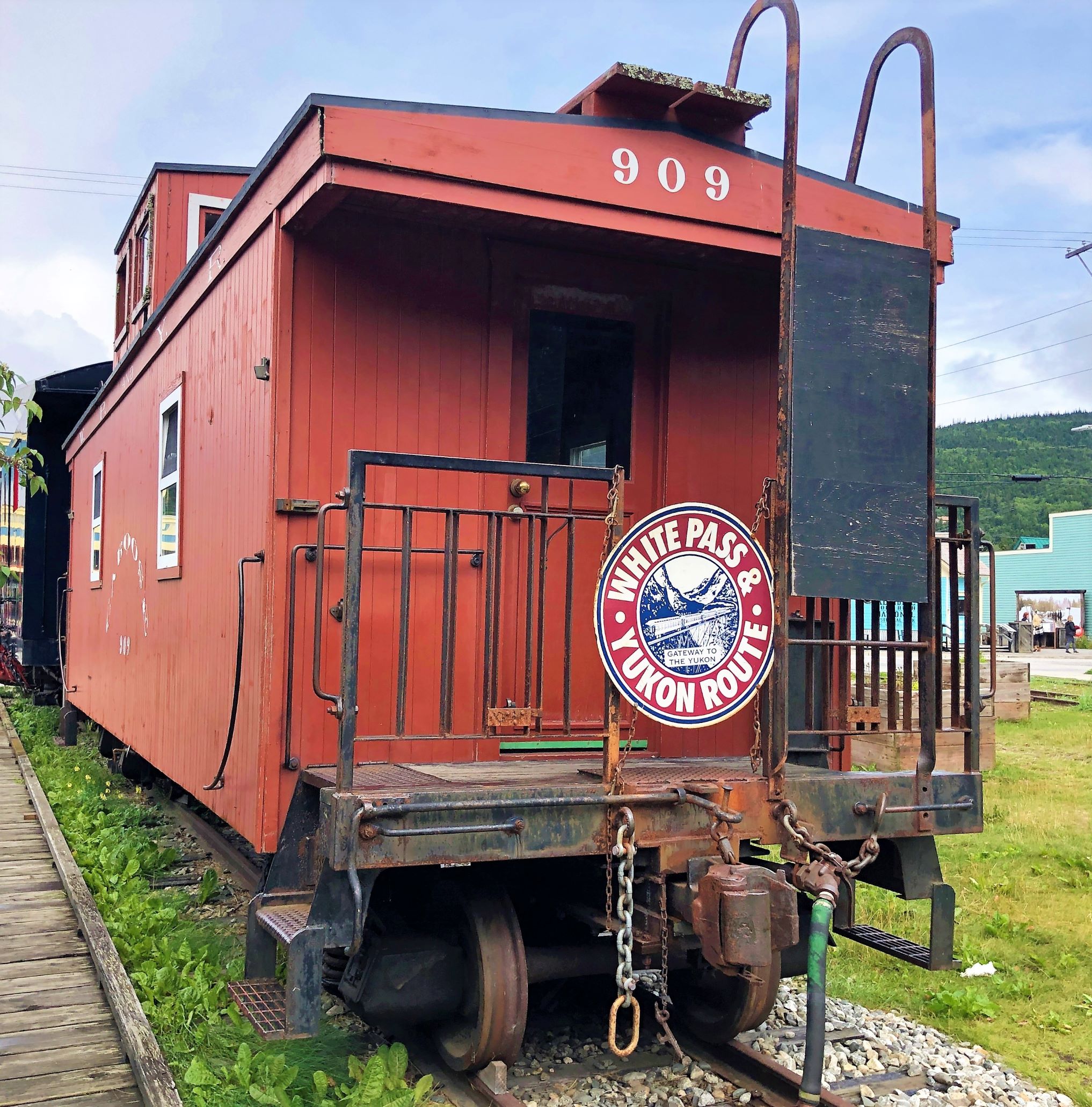
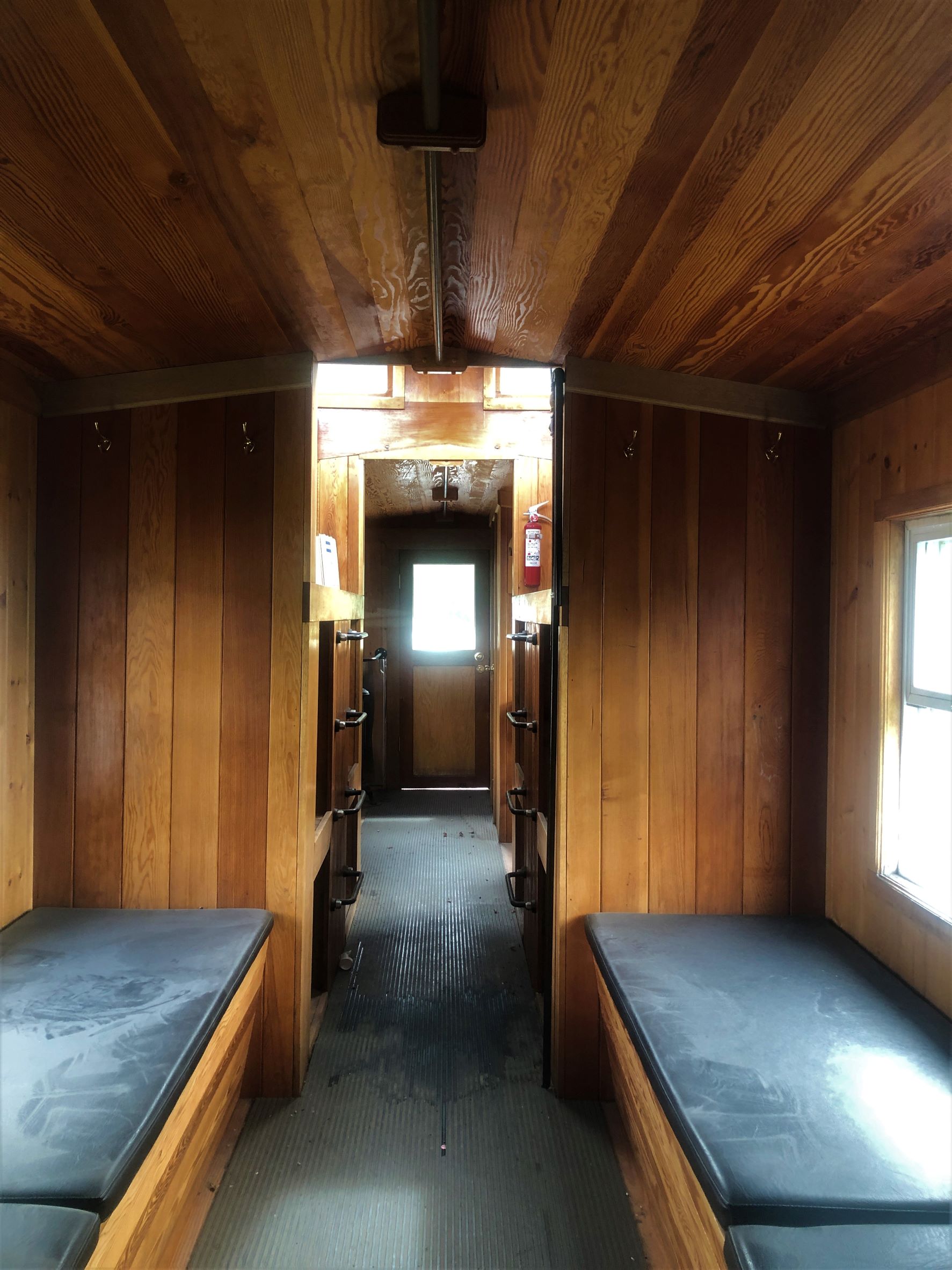
We took a look inside.
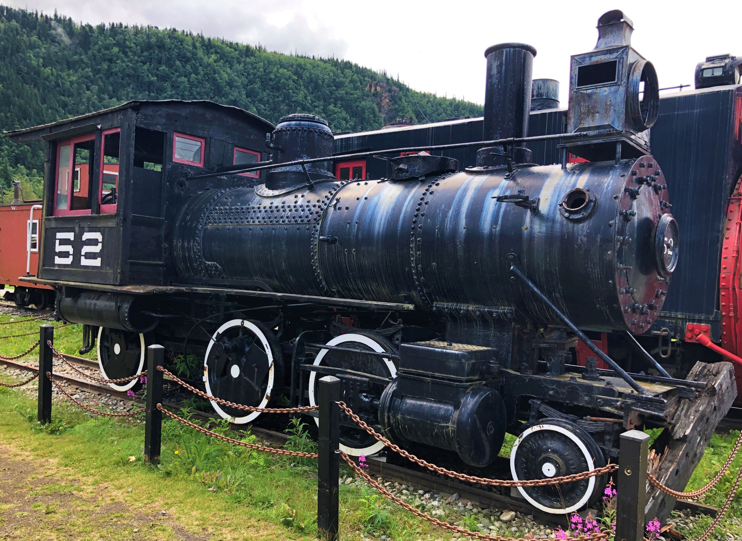
There was also a little steam engine.
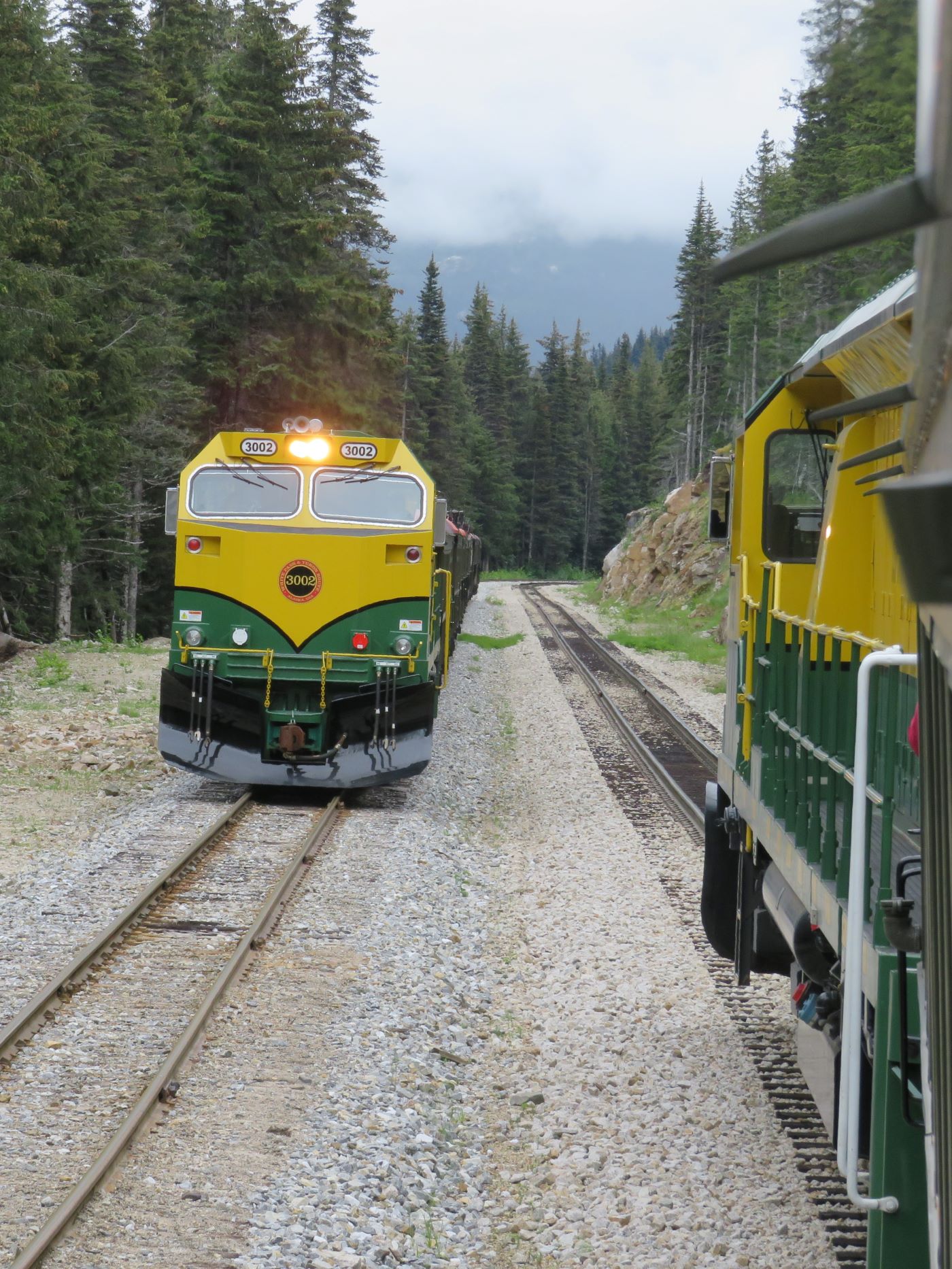
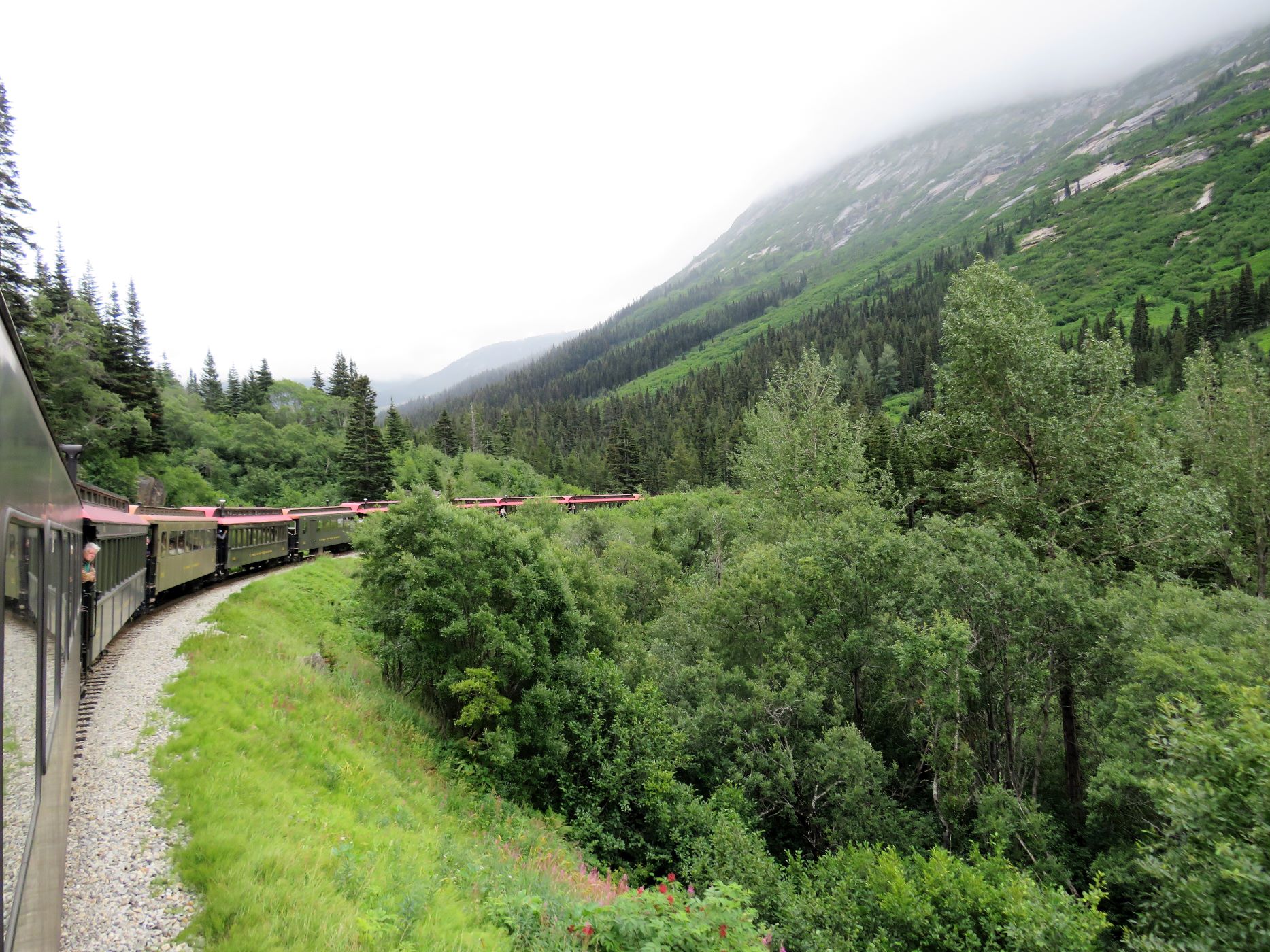
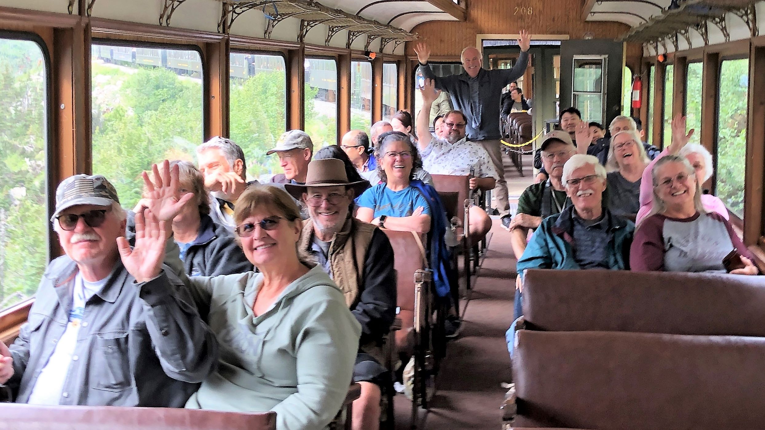
Soon it was time to head back to the RV park and have lunch before we go for a train ride! We took the White Pass and Yukon Route Railway for the White Pass Summit Tour. That excursion was offered when we were on the 2009 cruise, but we opted for the hiking/rafting – so we were glad to take the train this time! Here’s our group before we boarded the train.
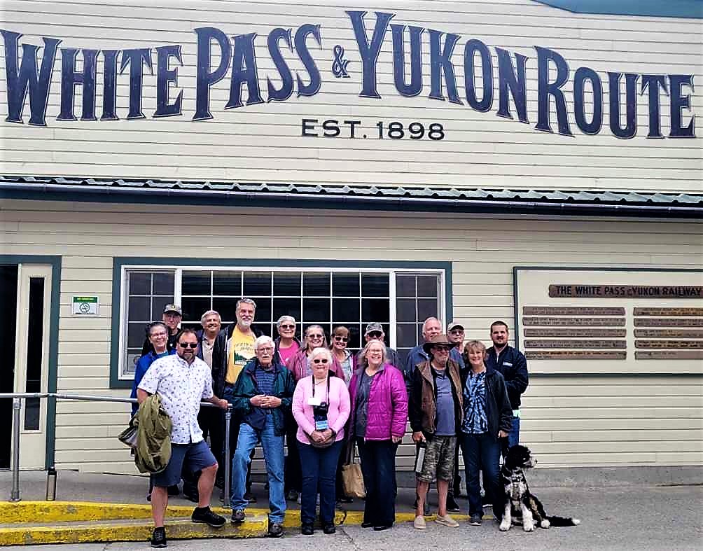
“The scenic railway of the world”
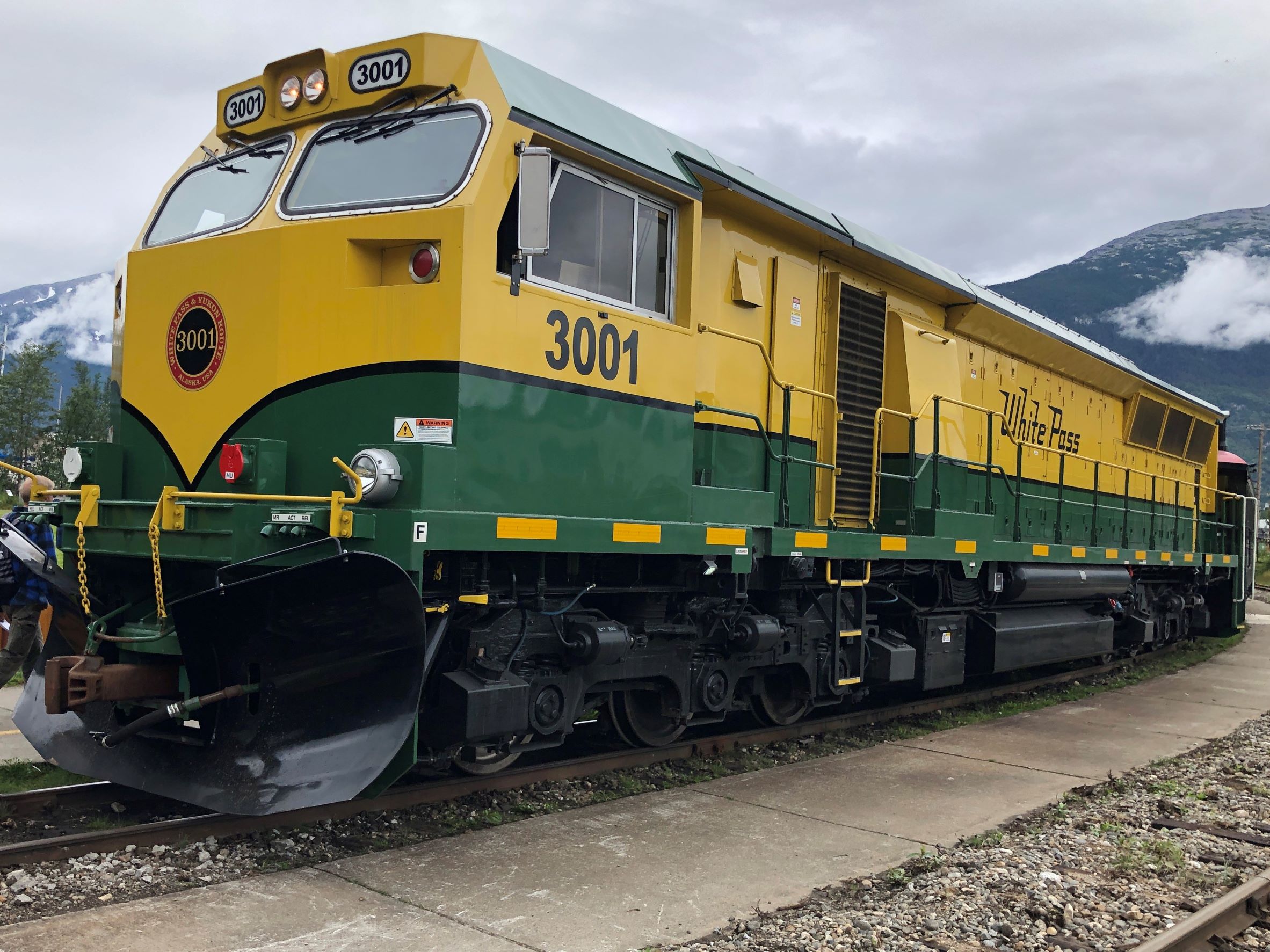
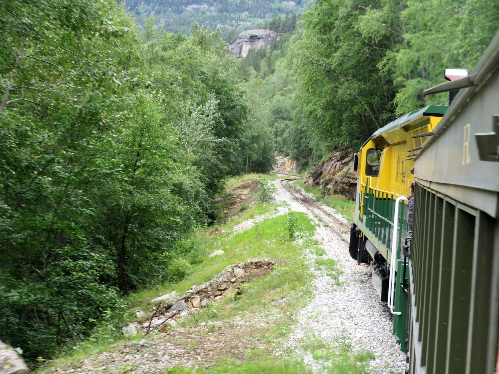
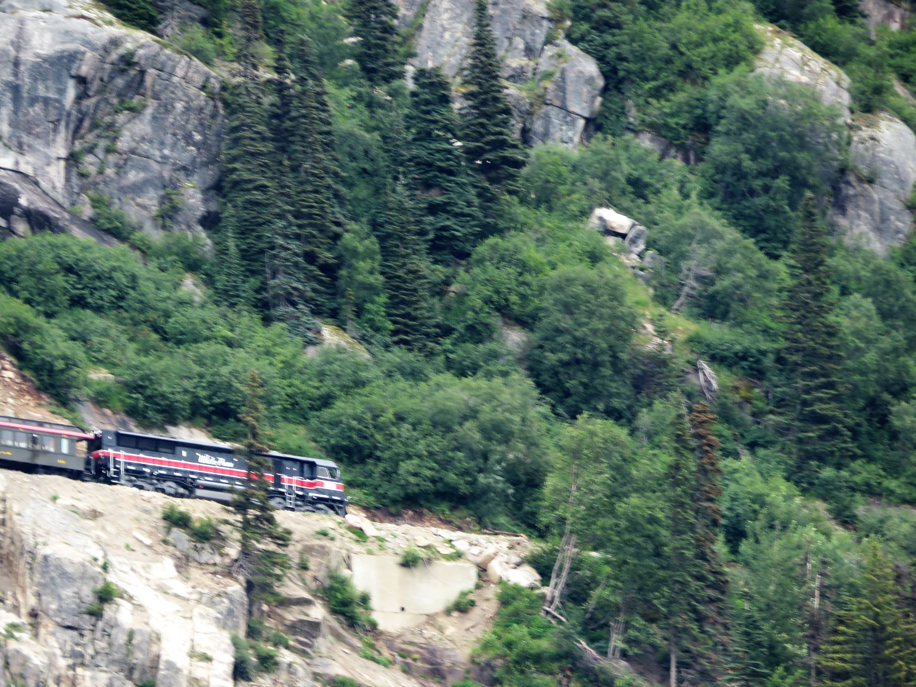
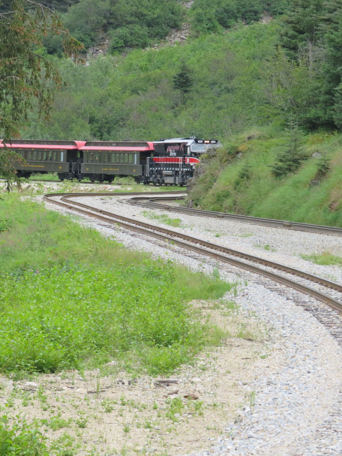
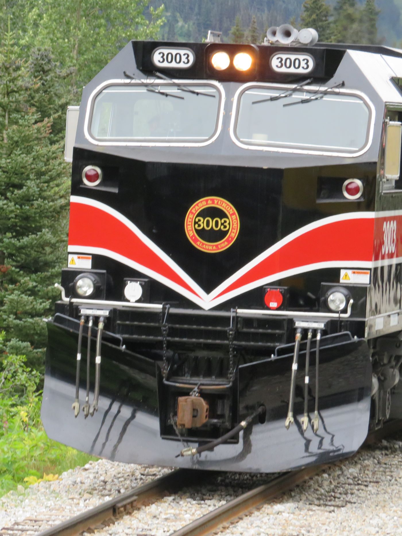
Here’s the trusty engine that will take our train to the summit. The WP & YR Railroad has 20 diesel-electric engines and 86 restored and replica passenger coaches. Construction of the 110 mile narrow gage railroad began on May 28, 1898 and was completed July 29, 1900. The tight curves of the White Pass called for a narrow gage with rails just 3 feet apart and being built on a 10-foot wide bed, construction costs were lower.
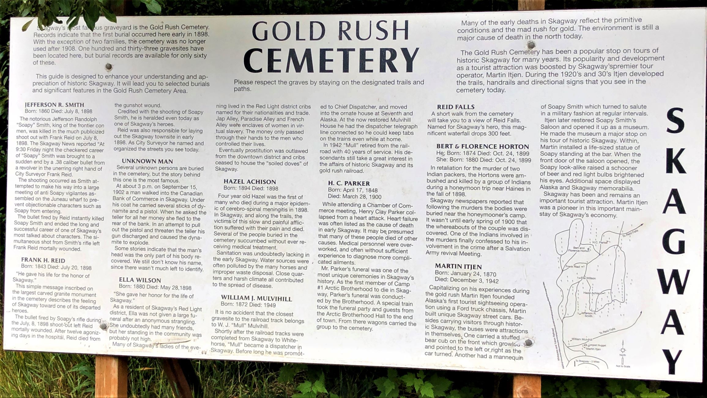
We zoomed past the Gold Rush Cemetery – we hope to visit there later. Gold Rush gangster Jefferson Randolph “Soapy” Smith and hero Frank Reid who both died in a final shootout are laid to rest here.

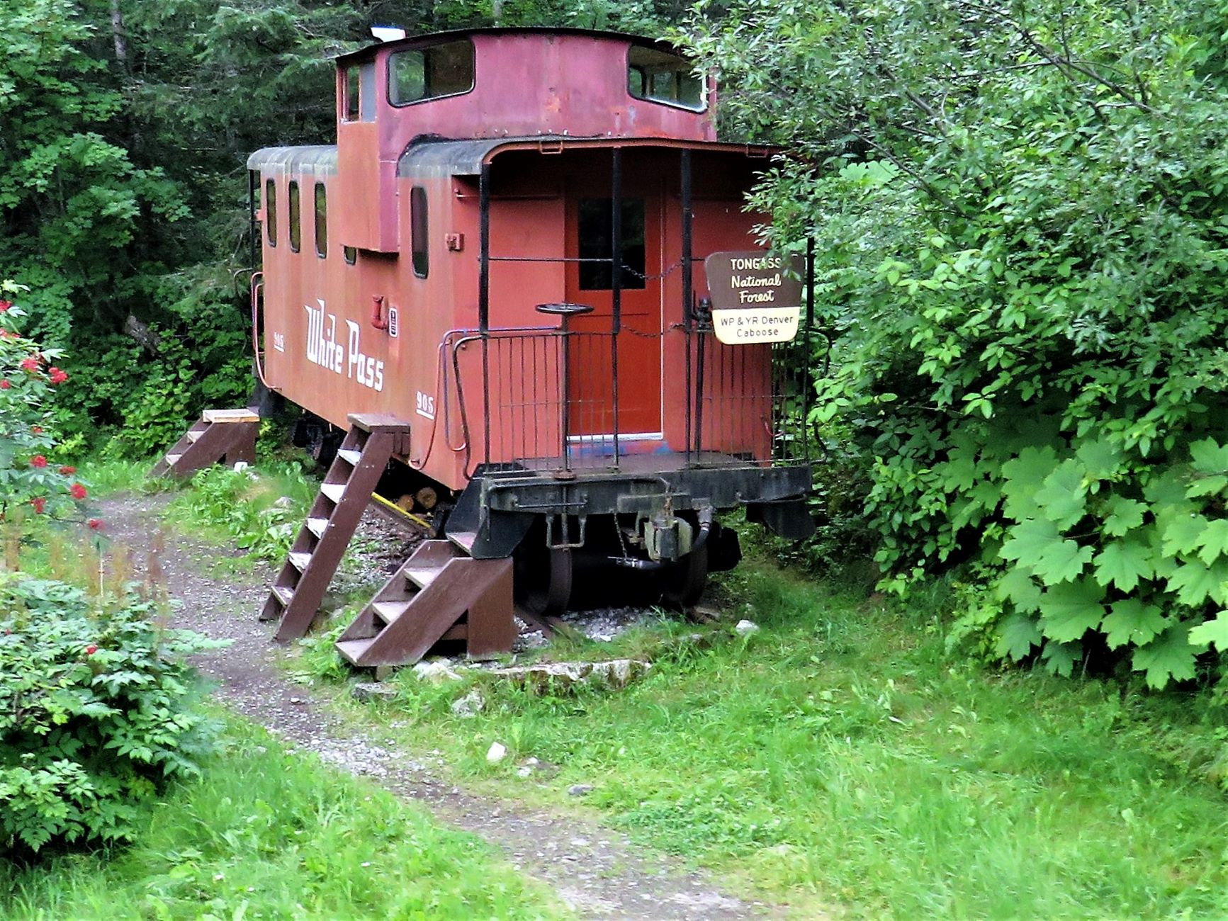
The next attraction was the WP & YR Denver Caboose which can be rented through the US Forest Service; “it sleeps 6 uncomfortably” as our tour guide explained! It can be reserved for a night or two and can be hiked to or you can arrange for the train to drop you off. Inside there are five bunks, a table and a stove with an outhouse onsite. (More information here!)
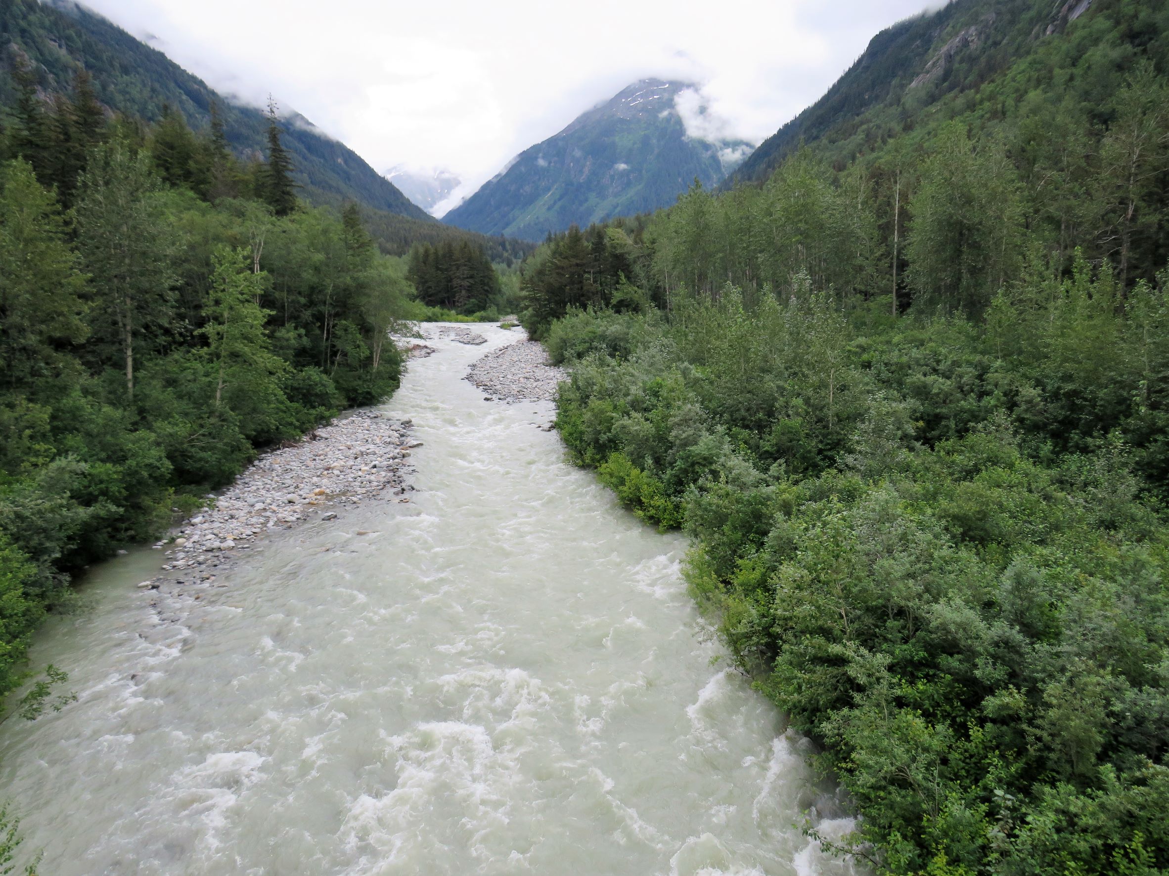
We crossed over the East Fork of the Skagway River at Denver
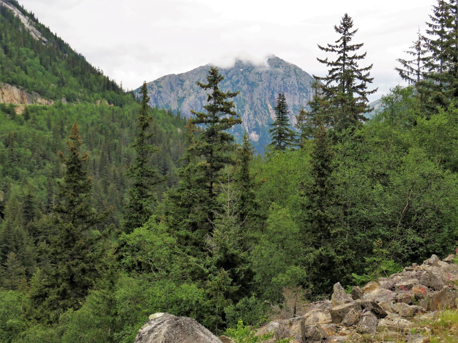
Rocky Point – there is Skagway in the lower valley and you can almost see Mount Harding and the Harding Glacier beyond in the clouds.
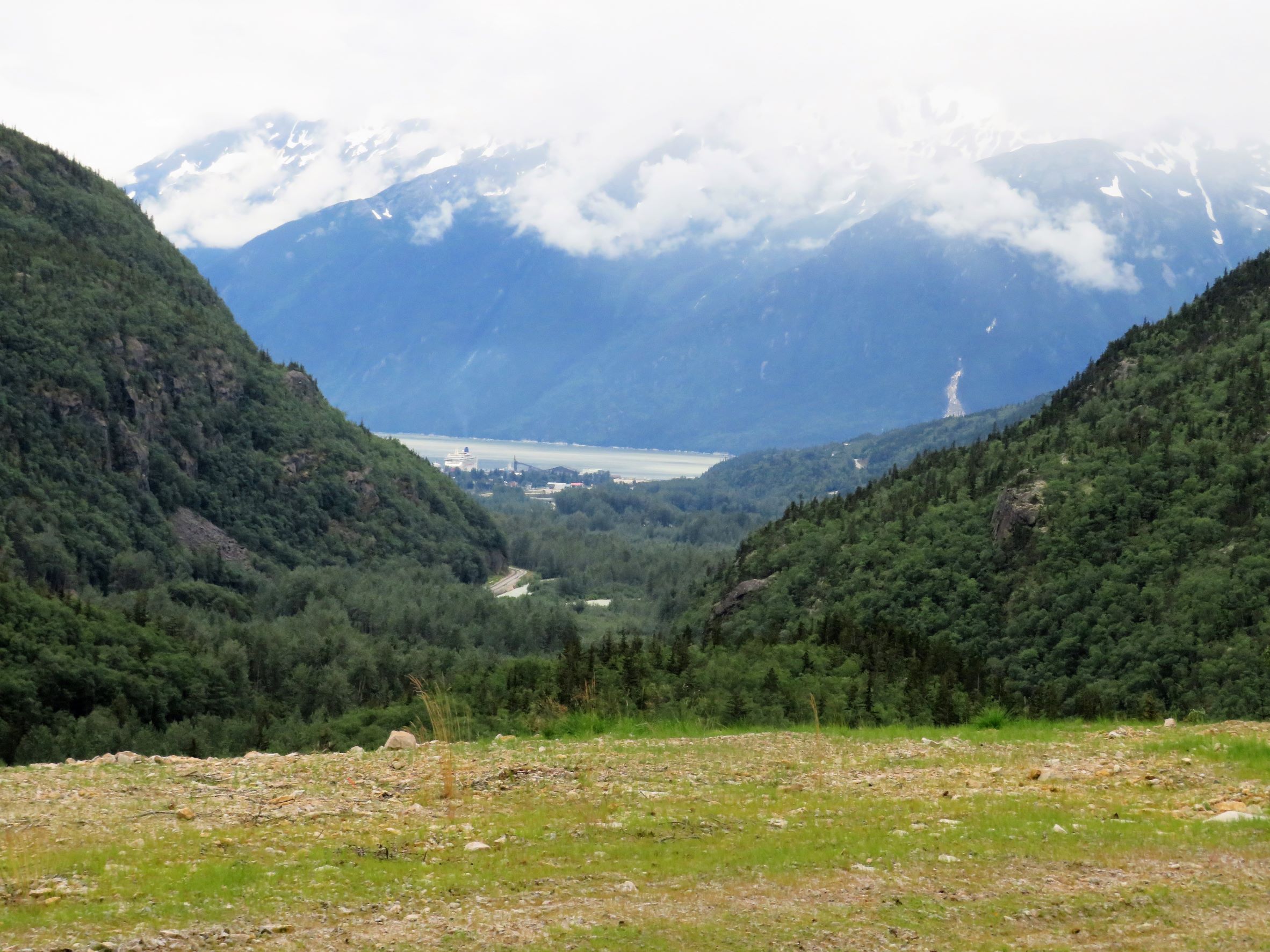
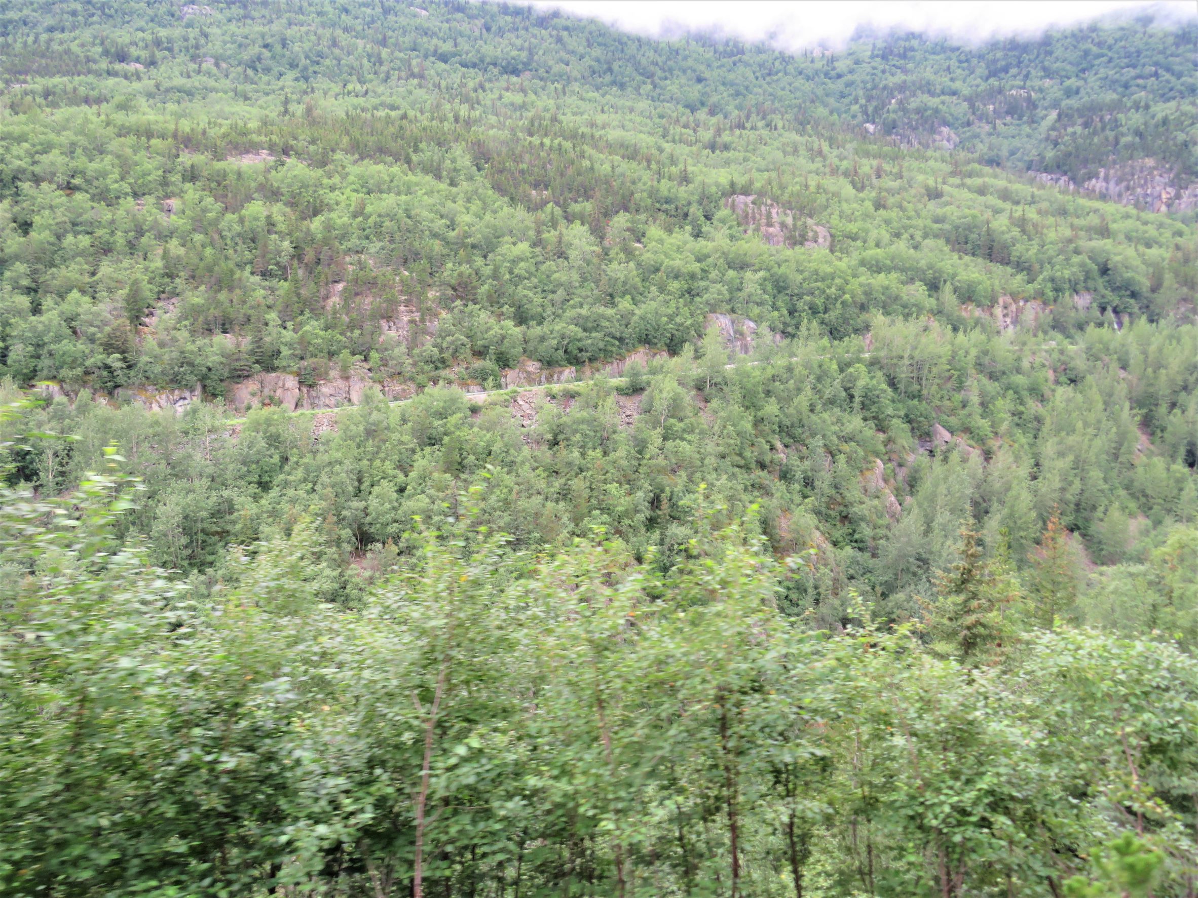
Across the valley, we could see the Klondike Highway (Route 2) that we drove in on.
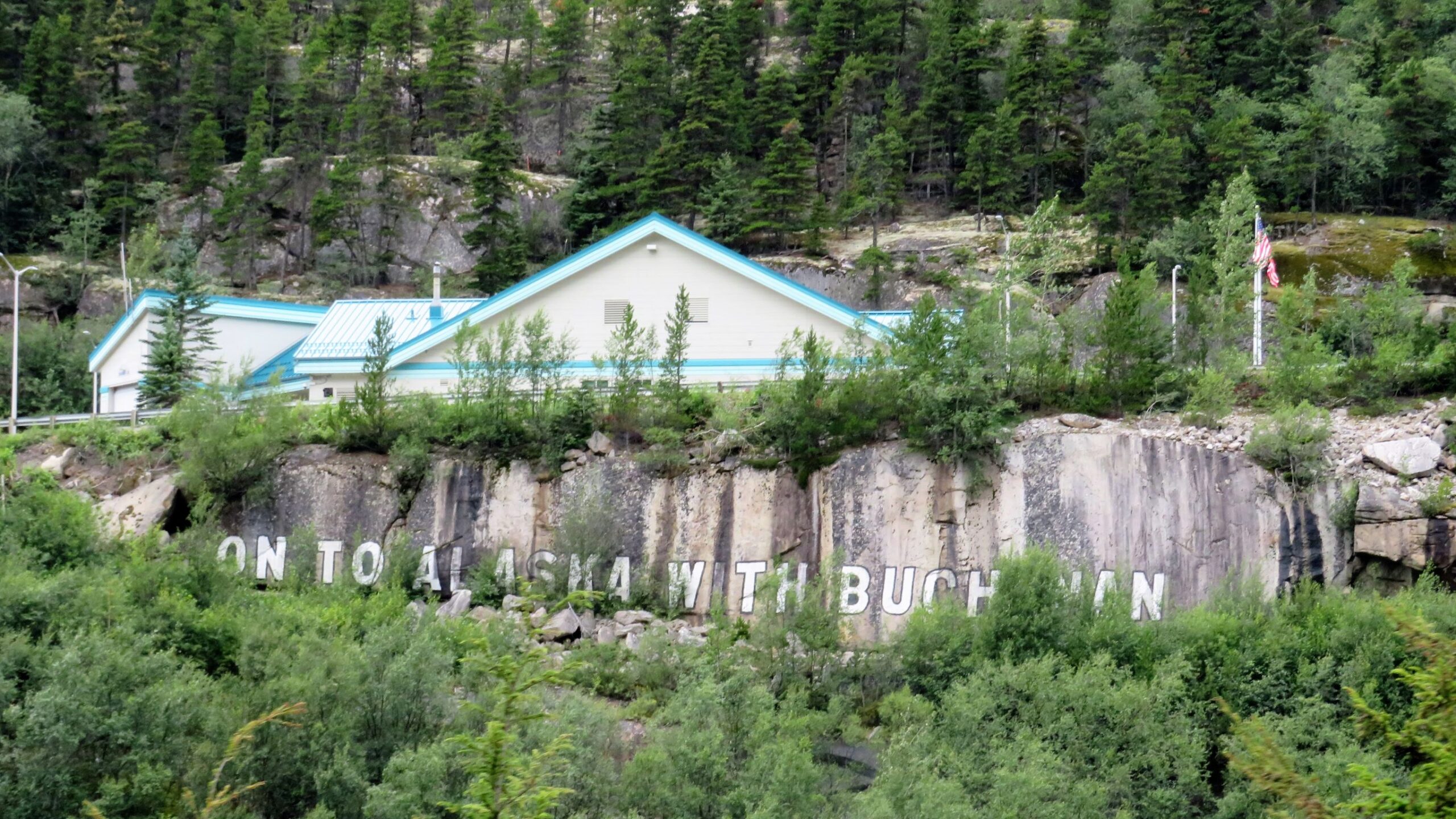
We passed the US Customs building at Clifton – the rock below has a slogan “On to Alaska with Buchanan” (Read an interesting story about that here!)
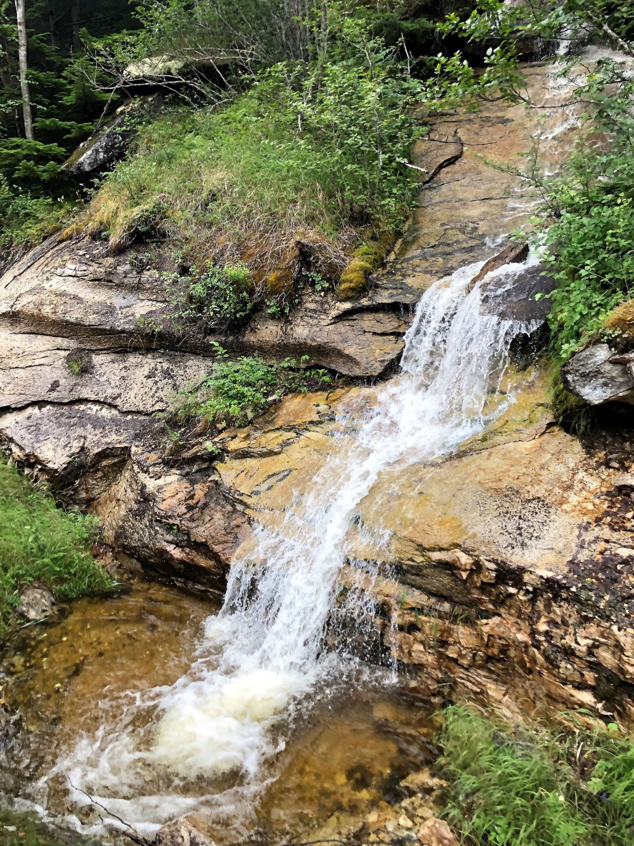
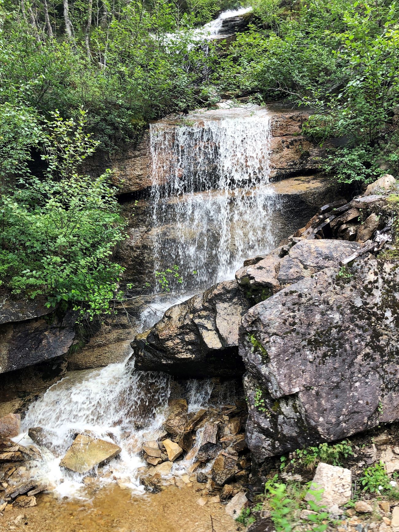
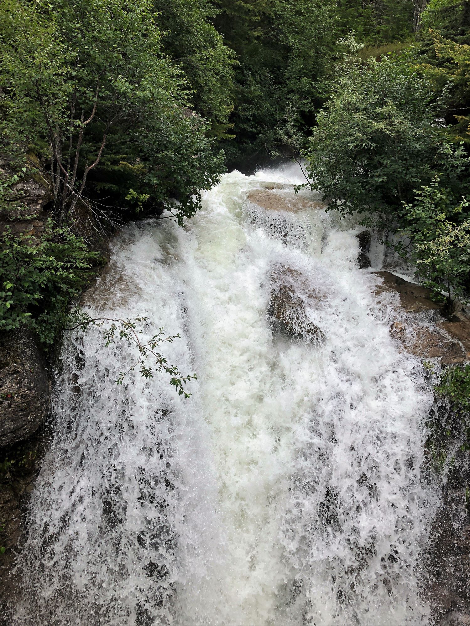
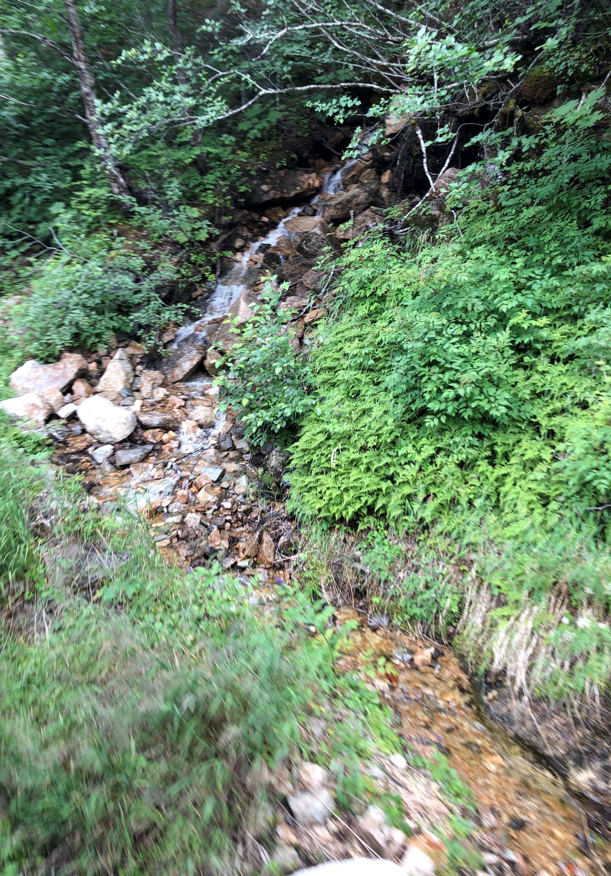
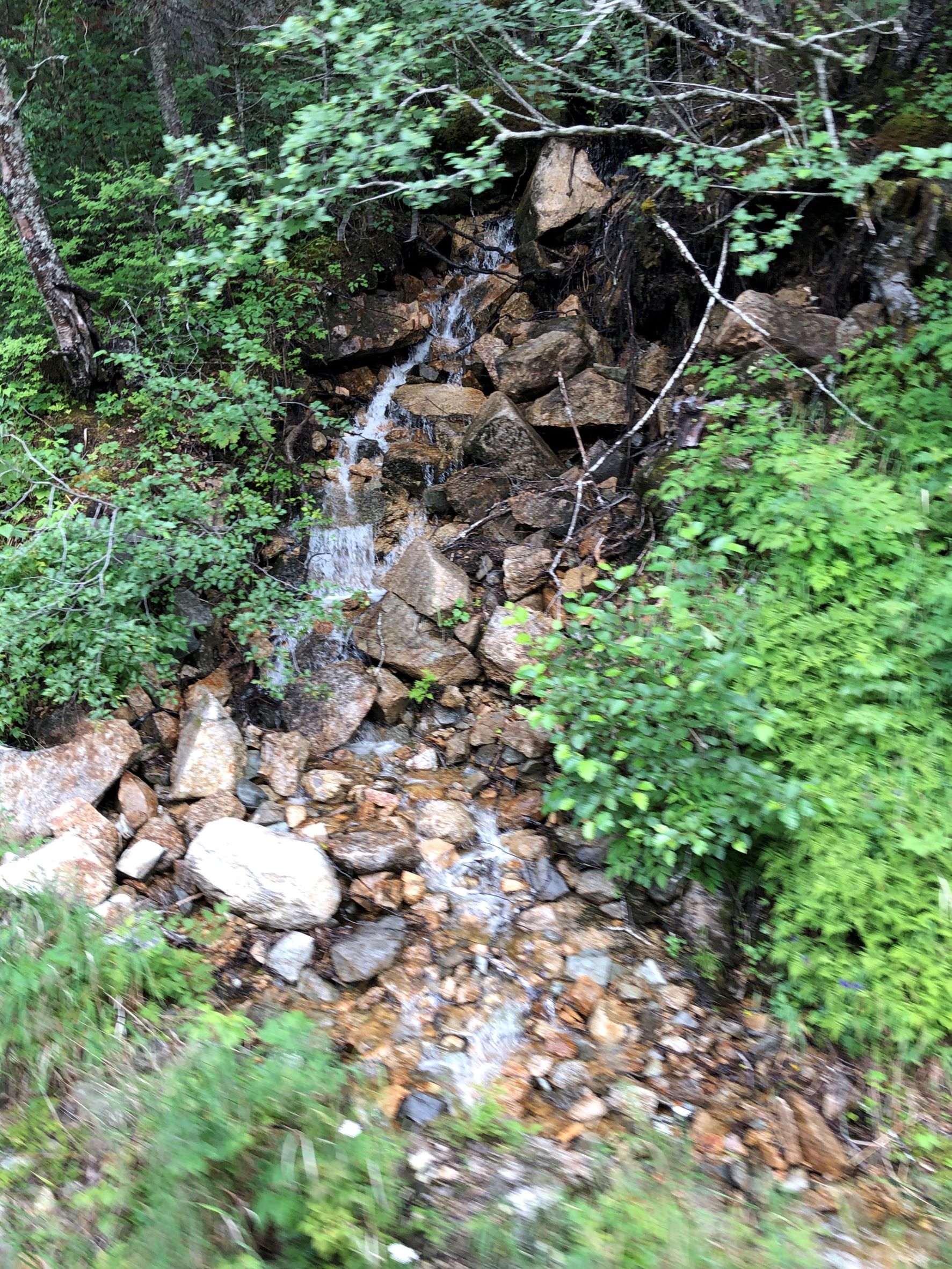
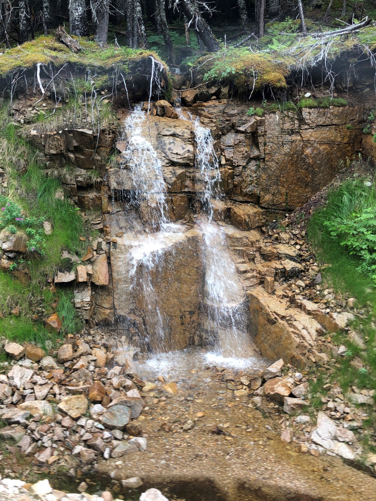
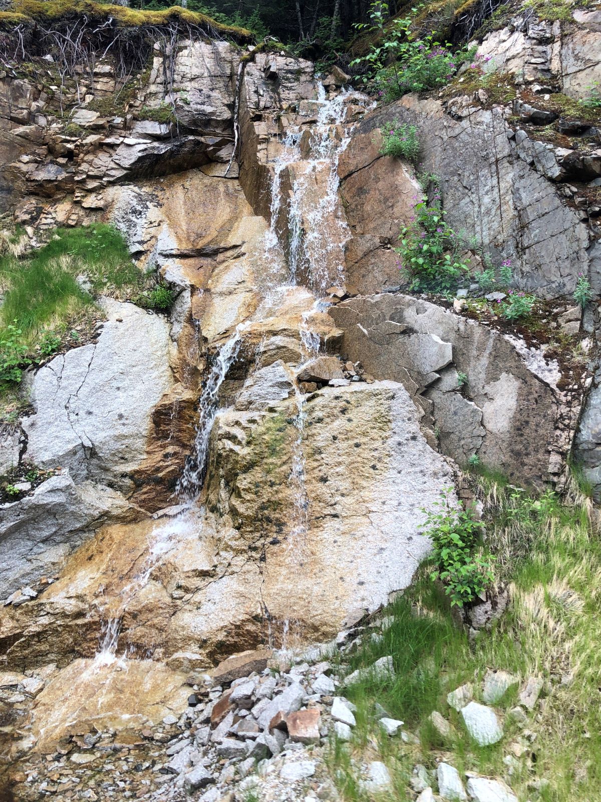
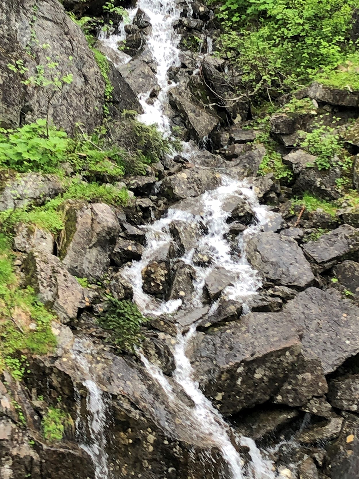
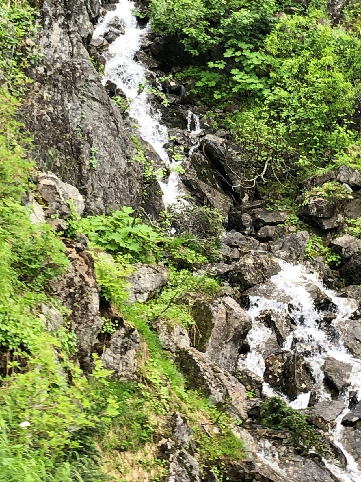
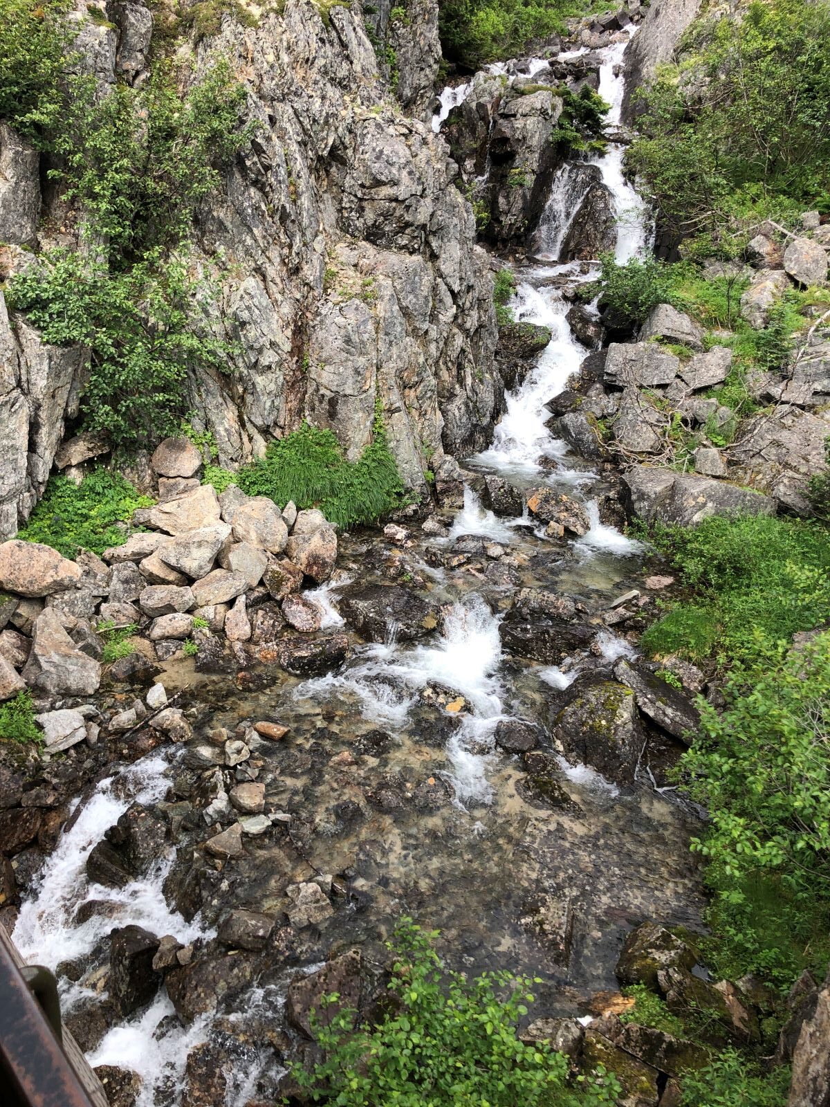
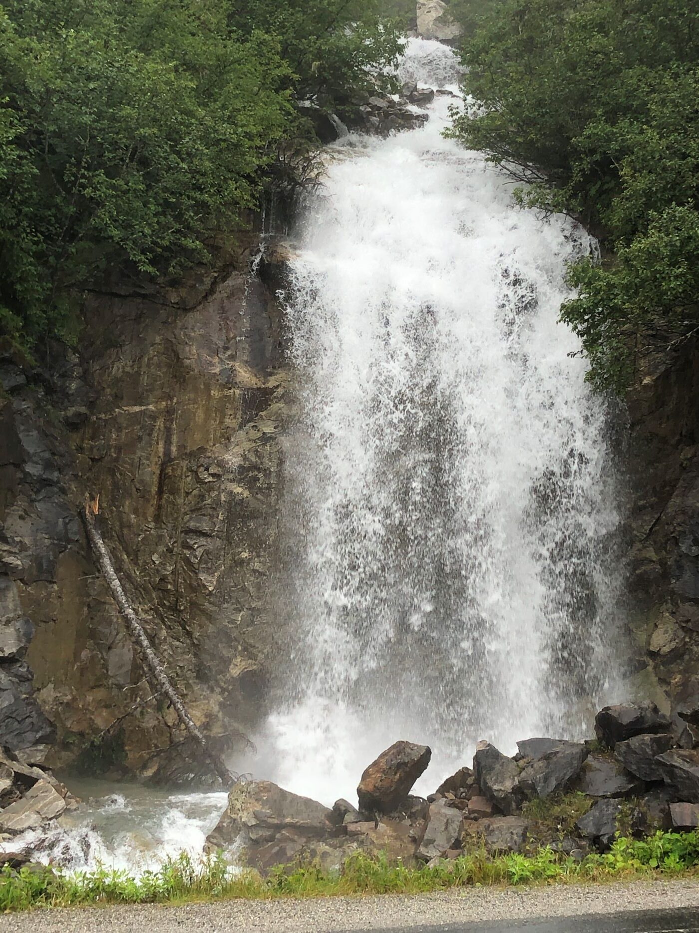
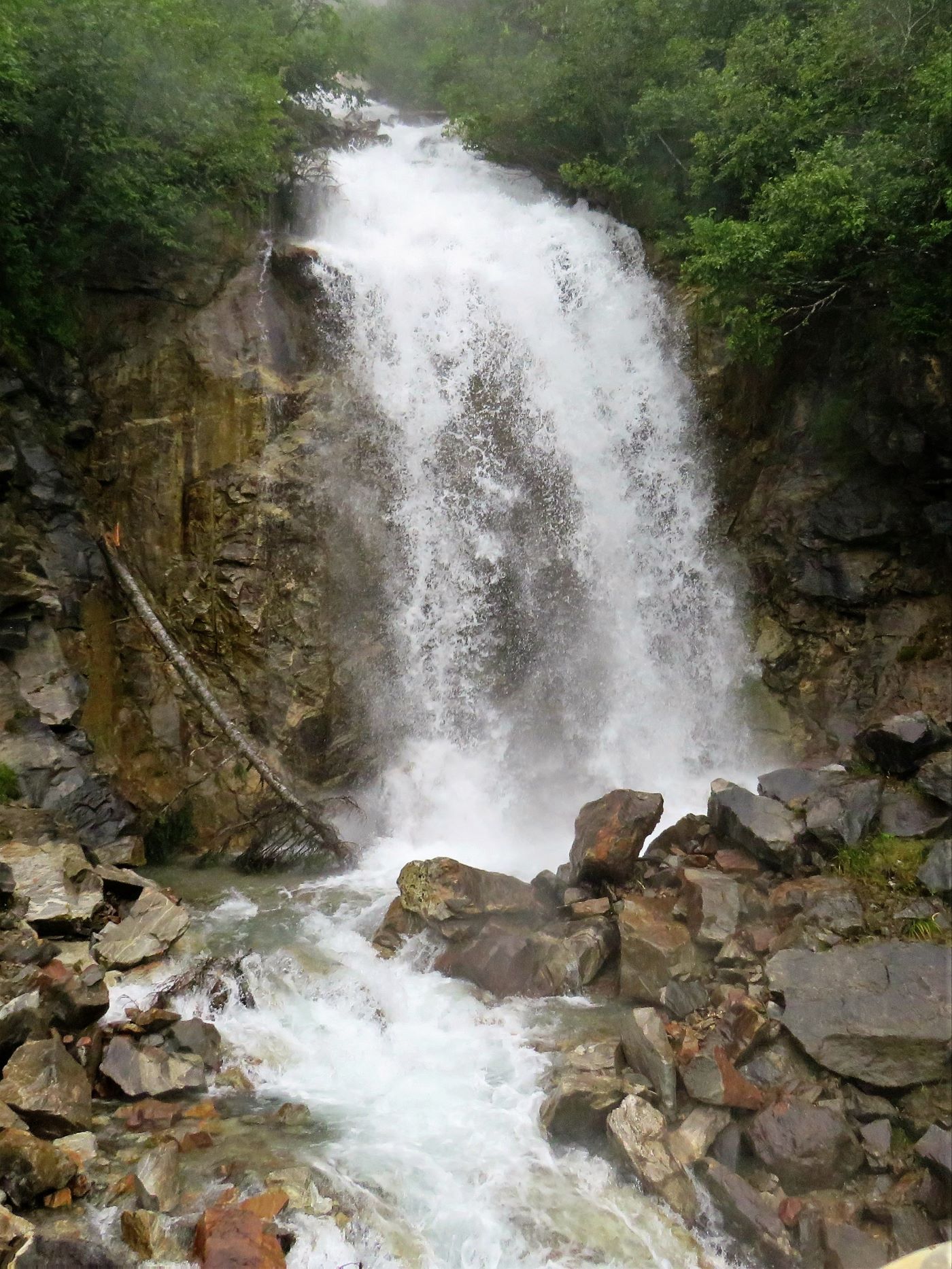
There were a lot of waterfalls that we passed, and it was hard to get a good photo as the train sped by, but we captured a few of them!
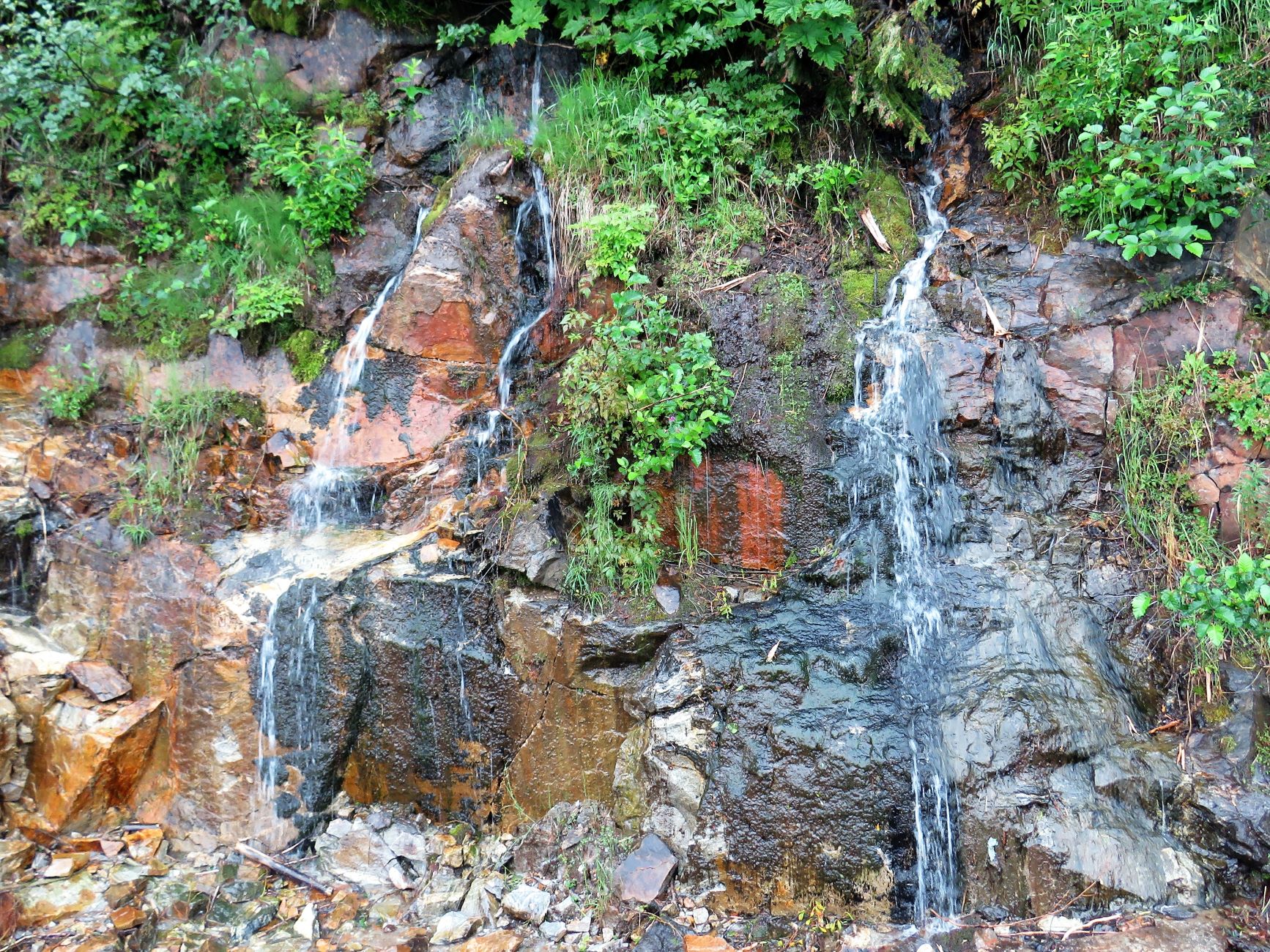
We passed this pipe – it sends water down the mountainside to a hydroelectric plant to power Skagway.
Black Cross Rock – When building the railroad, a blasting accident on August 3, 1989, buried 2 railroad workers and 2 horses under a 500-ton granite rock.
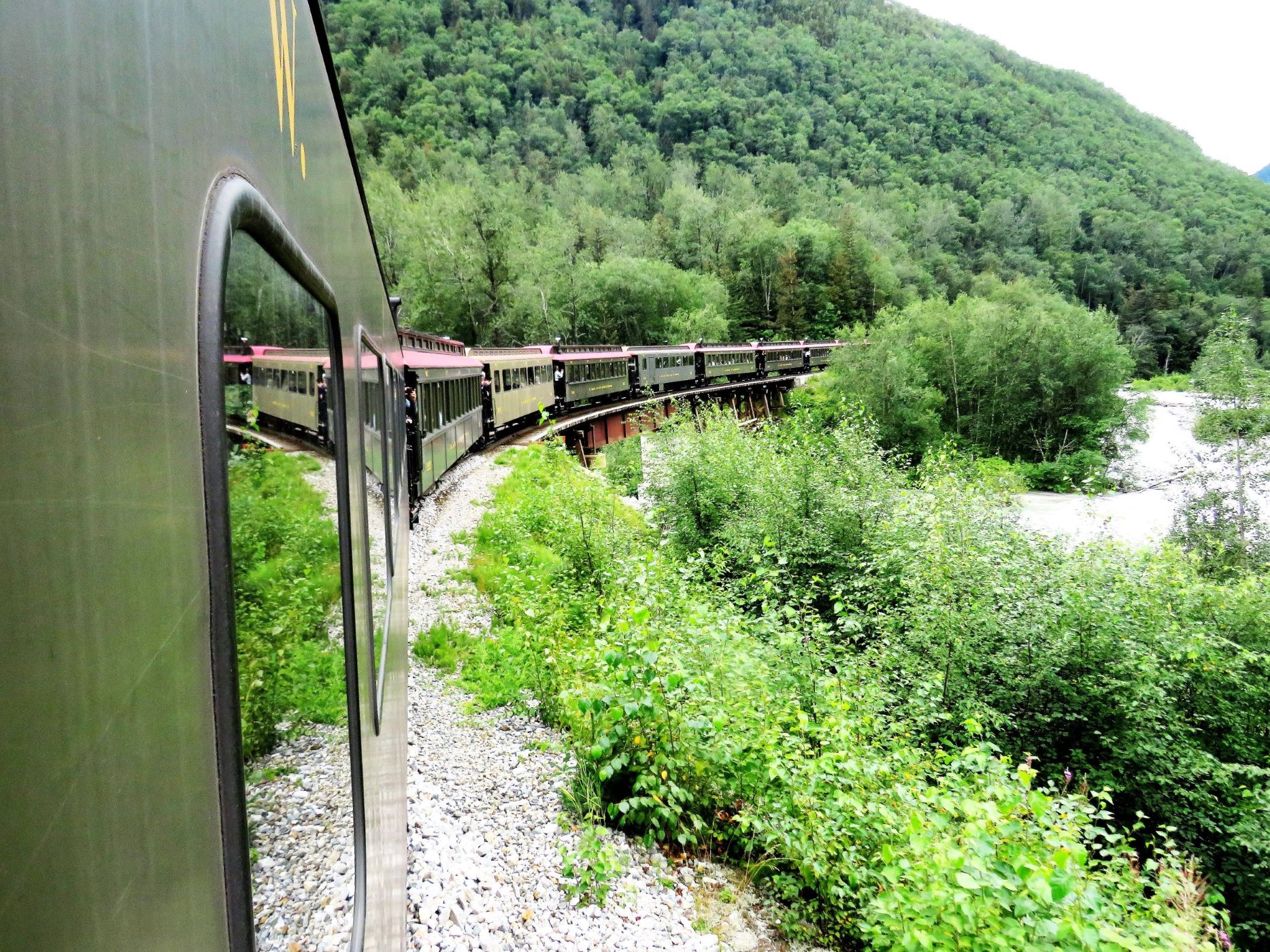
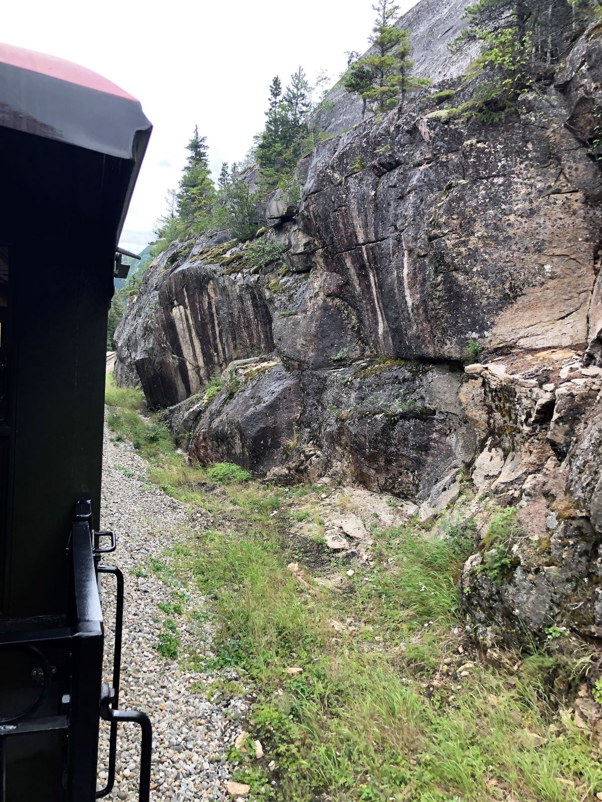
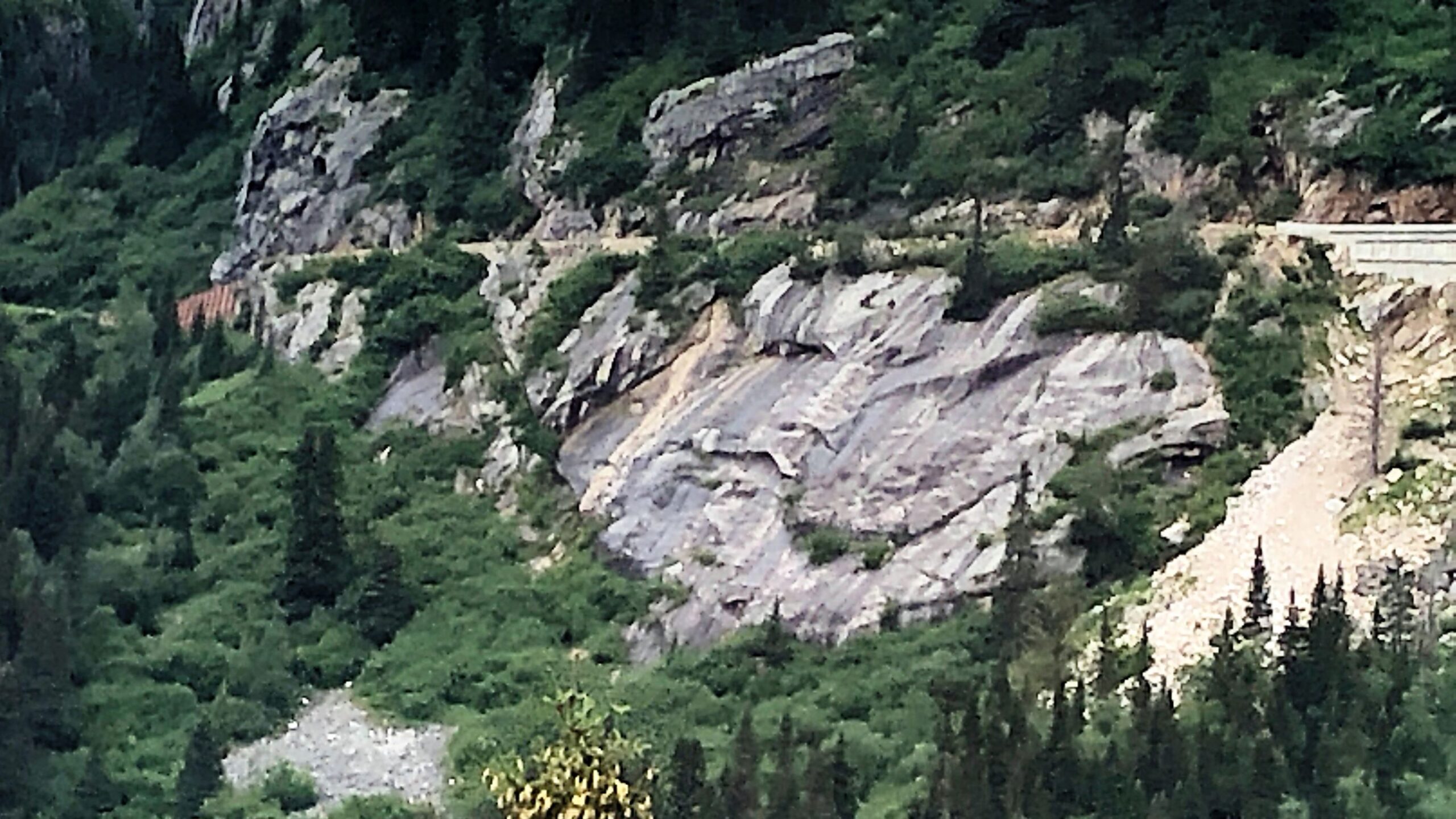
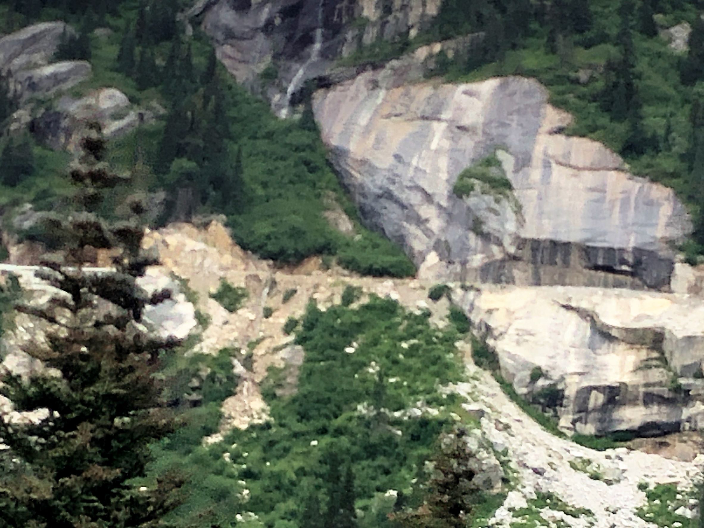
The train often travels very close to rock face.
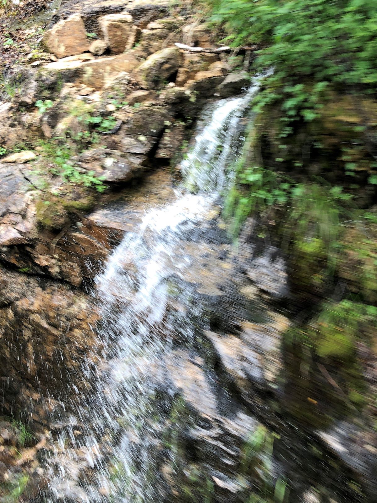
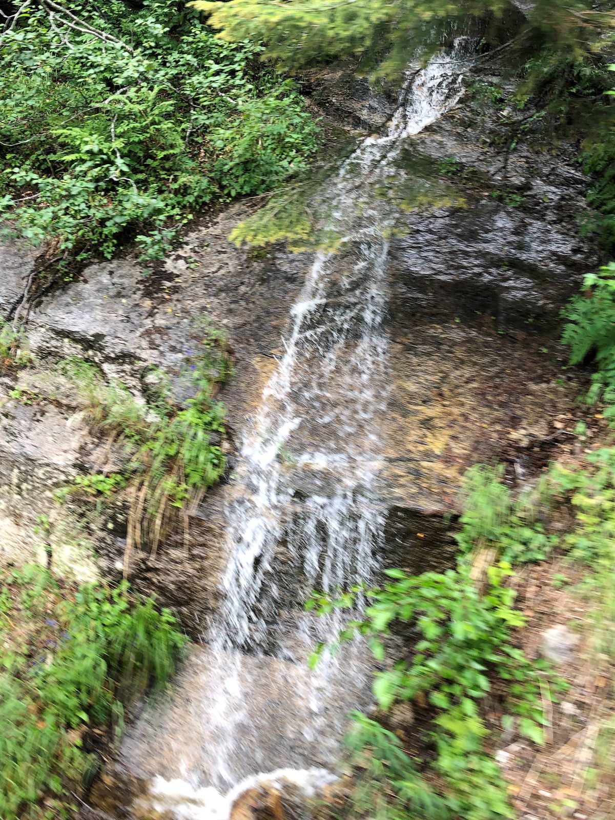
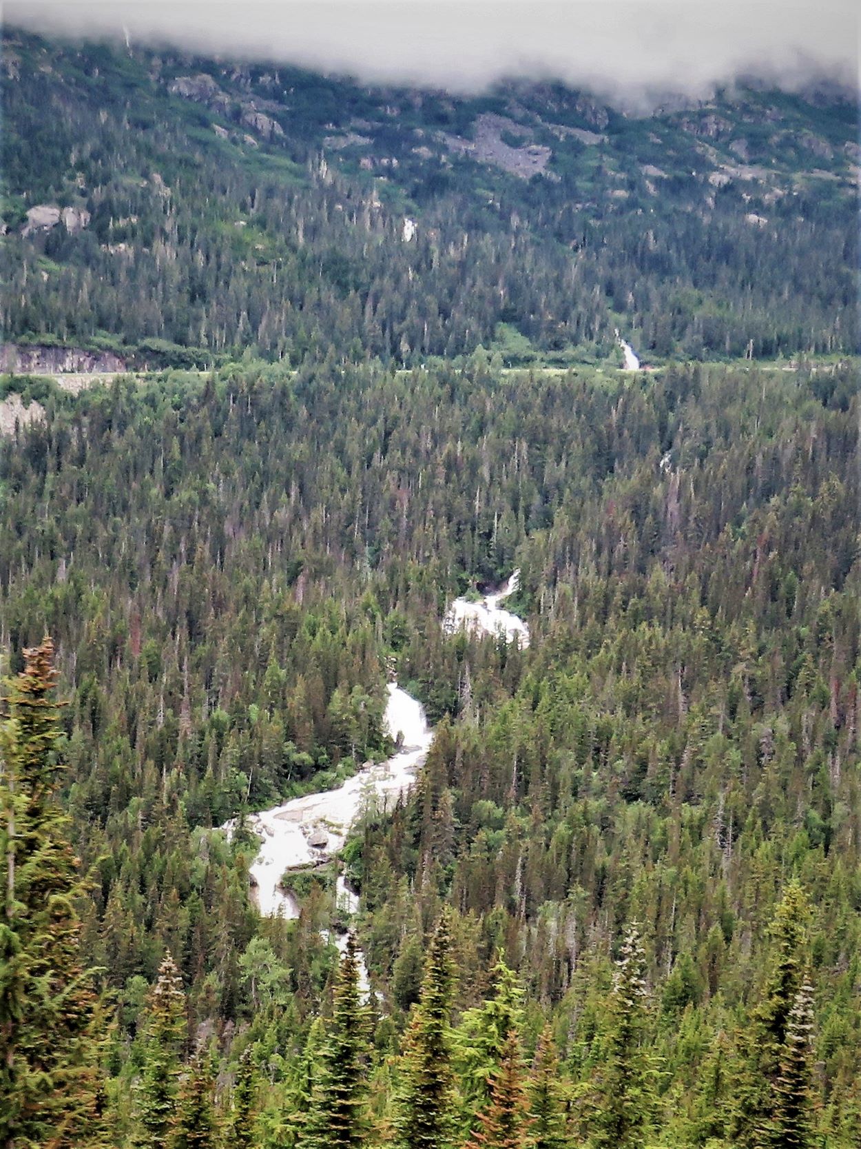
2 views of the same waterfall – not as impressive head on…. (even a bit sideways?)
Same waterfall again…
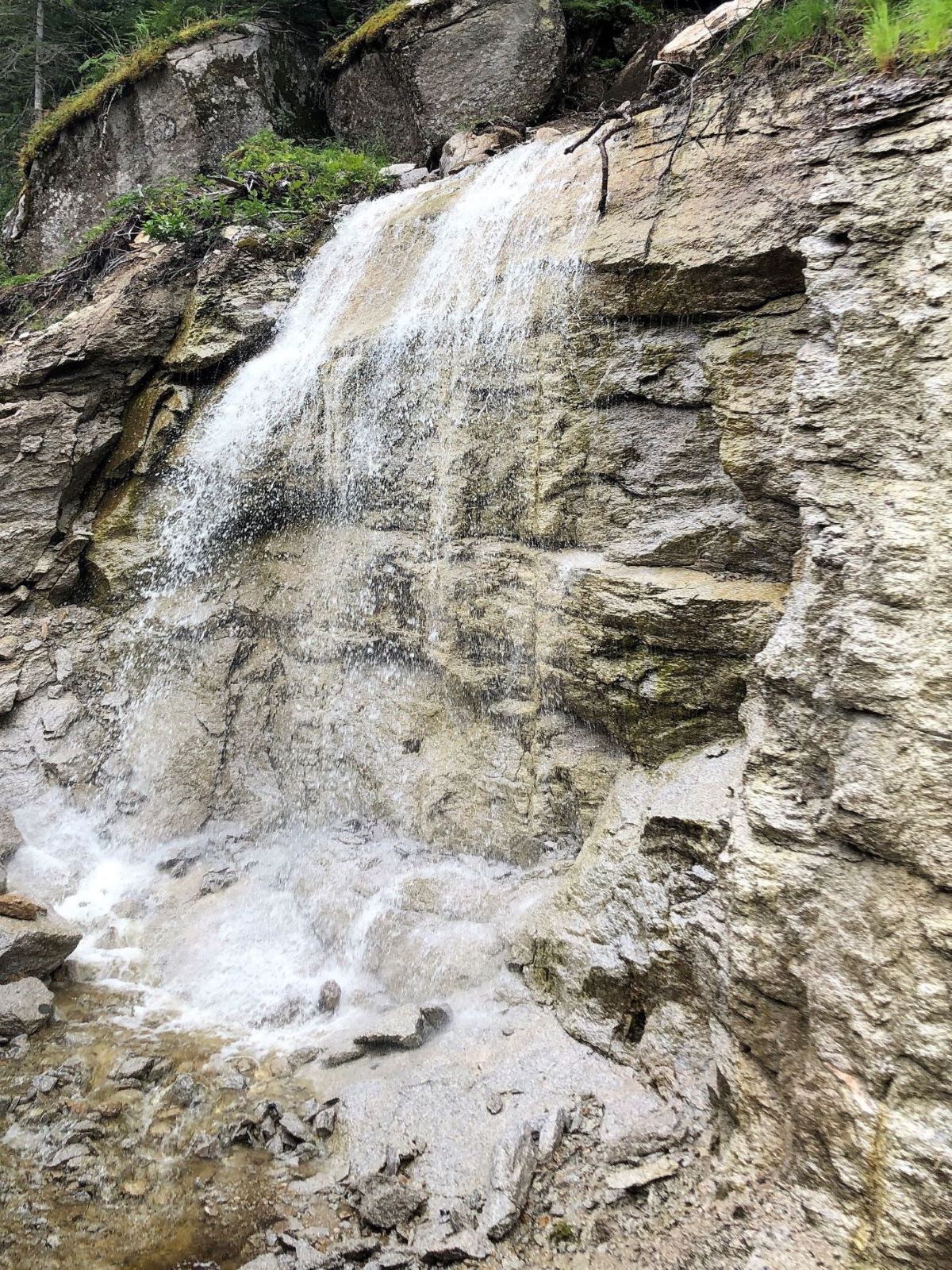
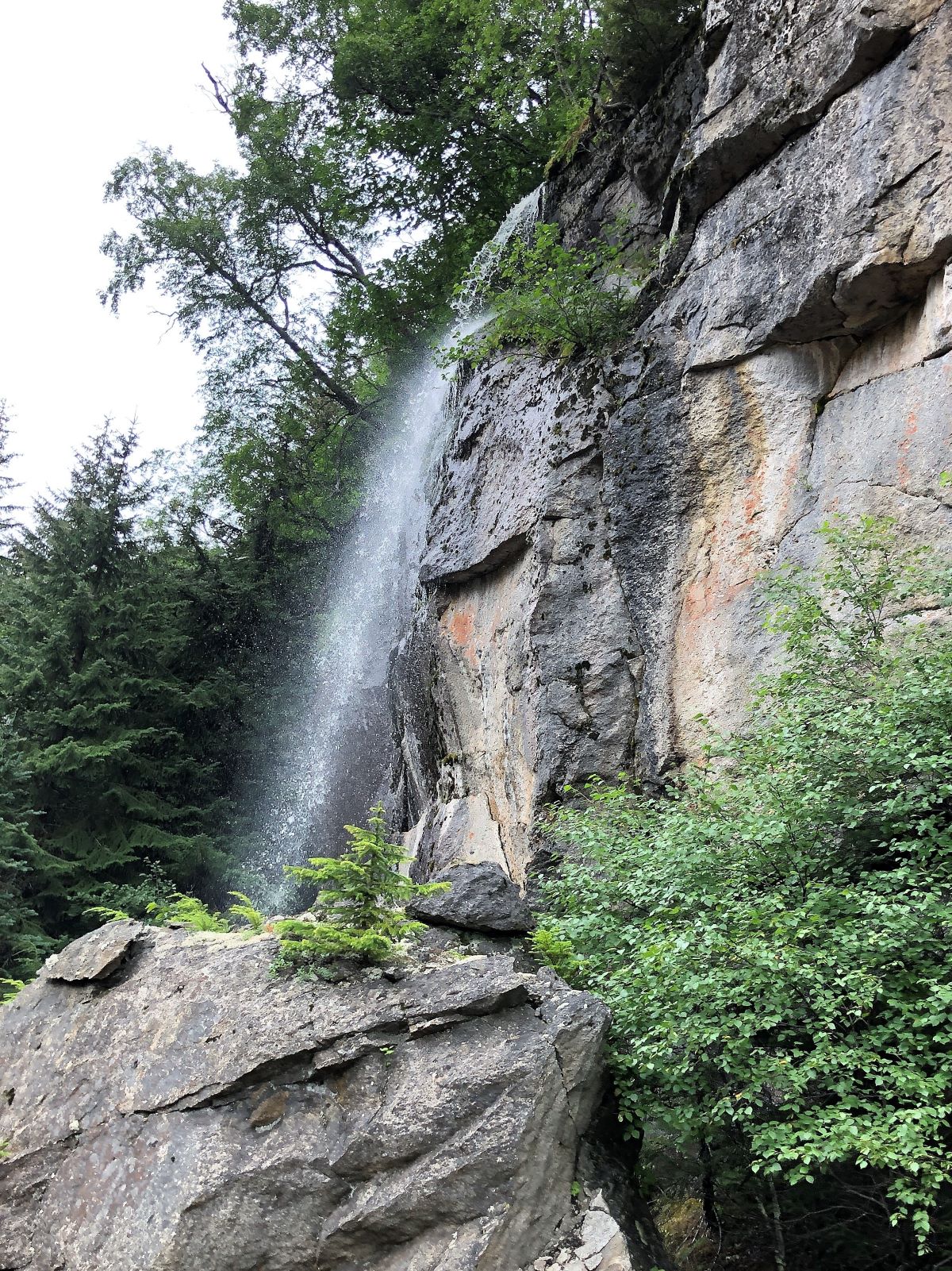
Bridal Veil falls cascades 6,000 feet from the glaciers on Mt. Cleveland and Mt. Clifford.
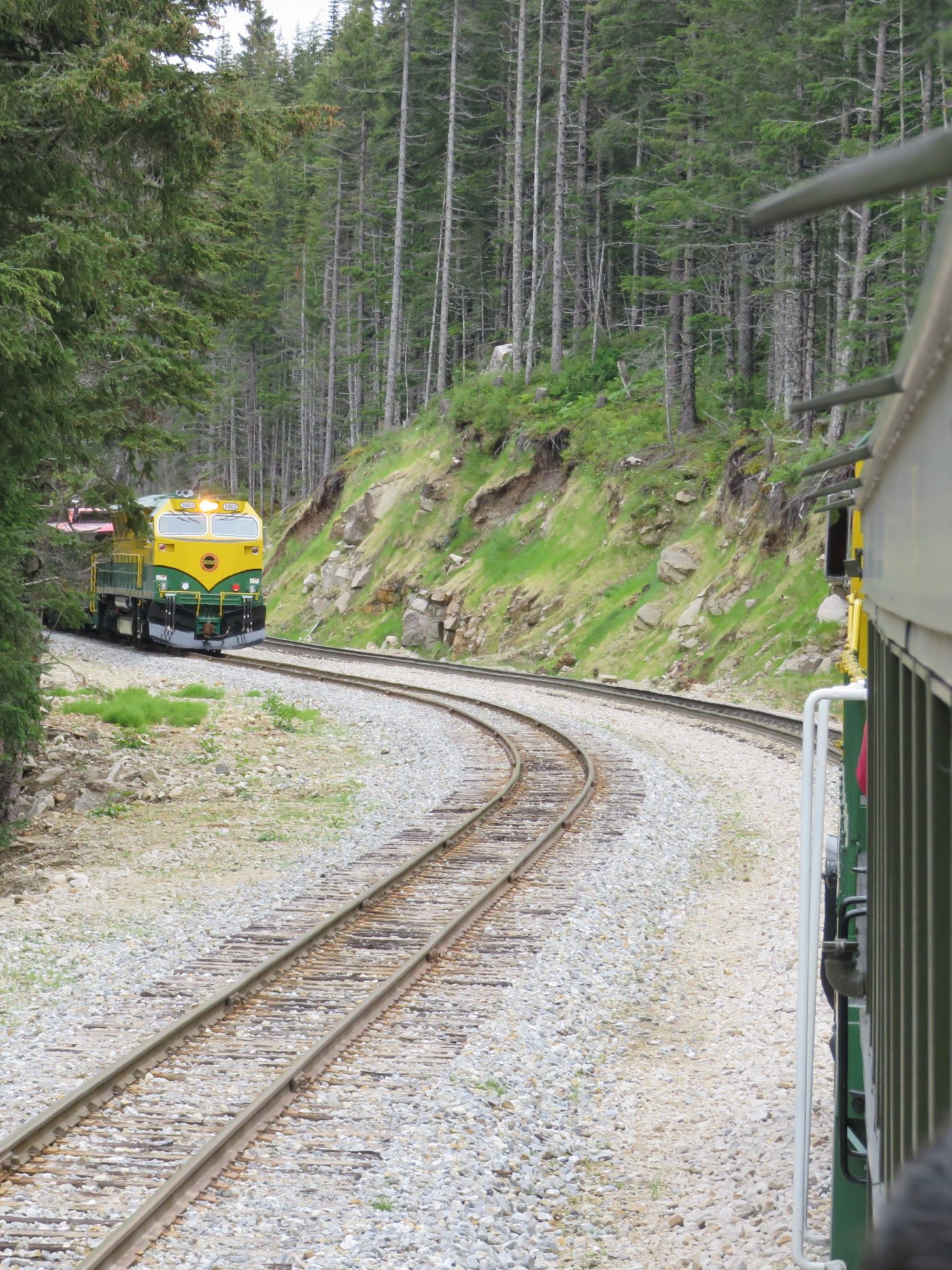
Another train is seen across the valley
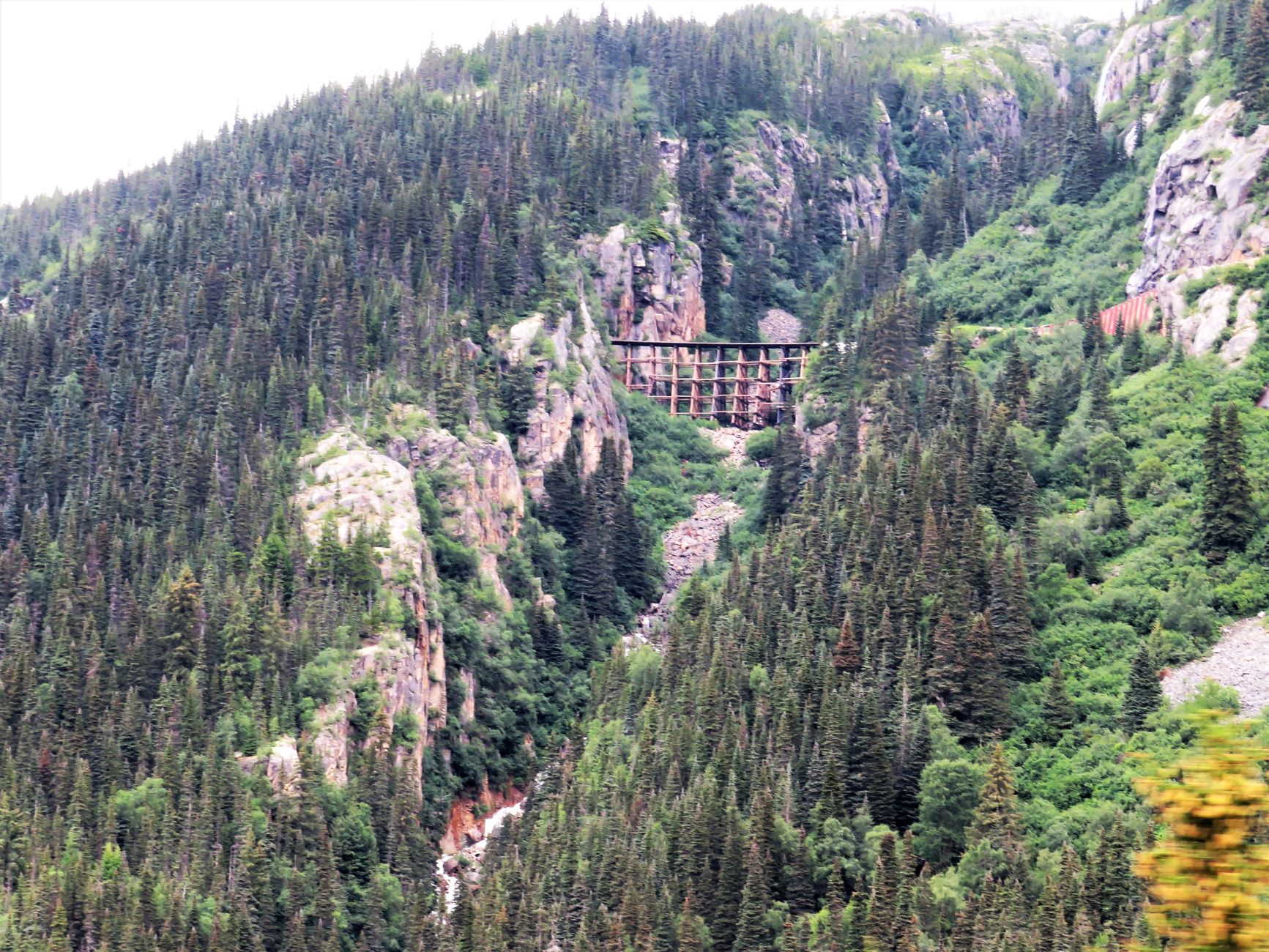
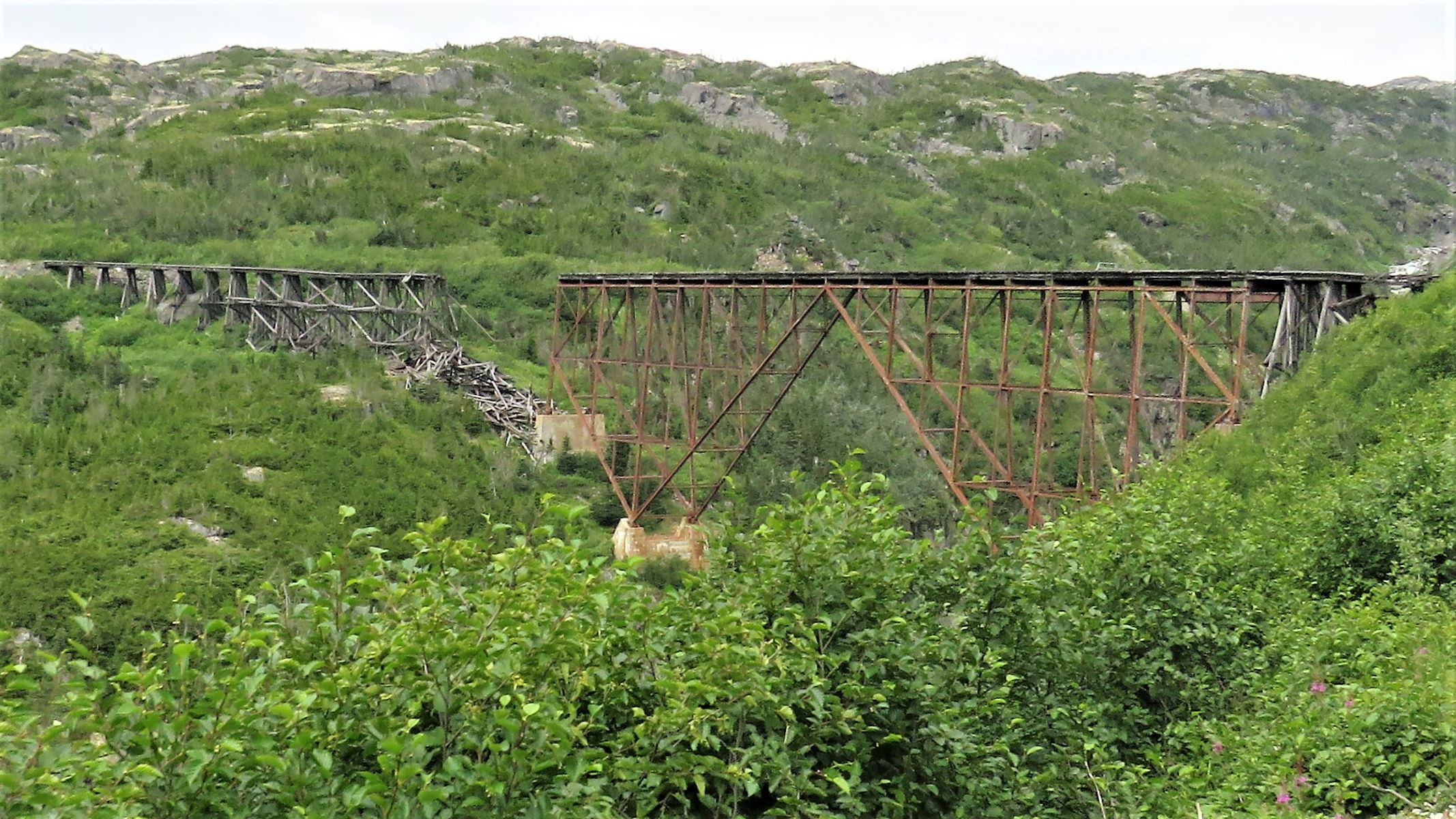
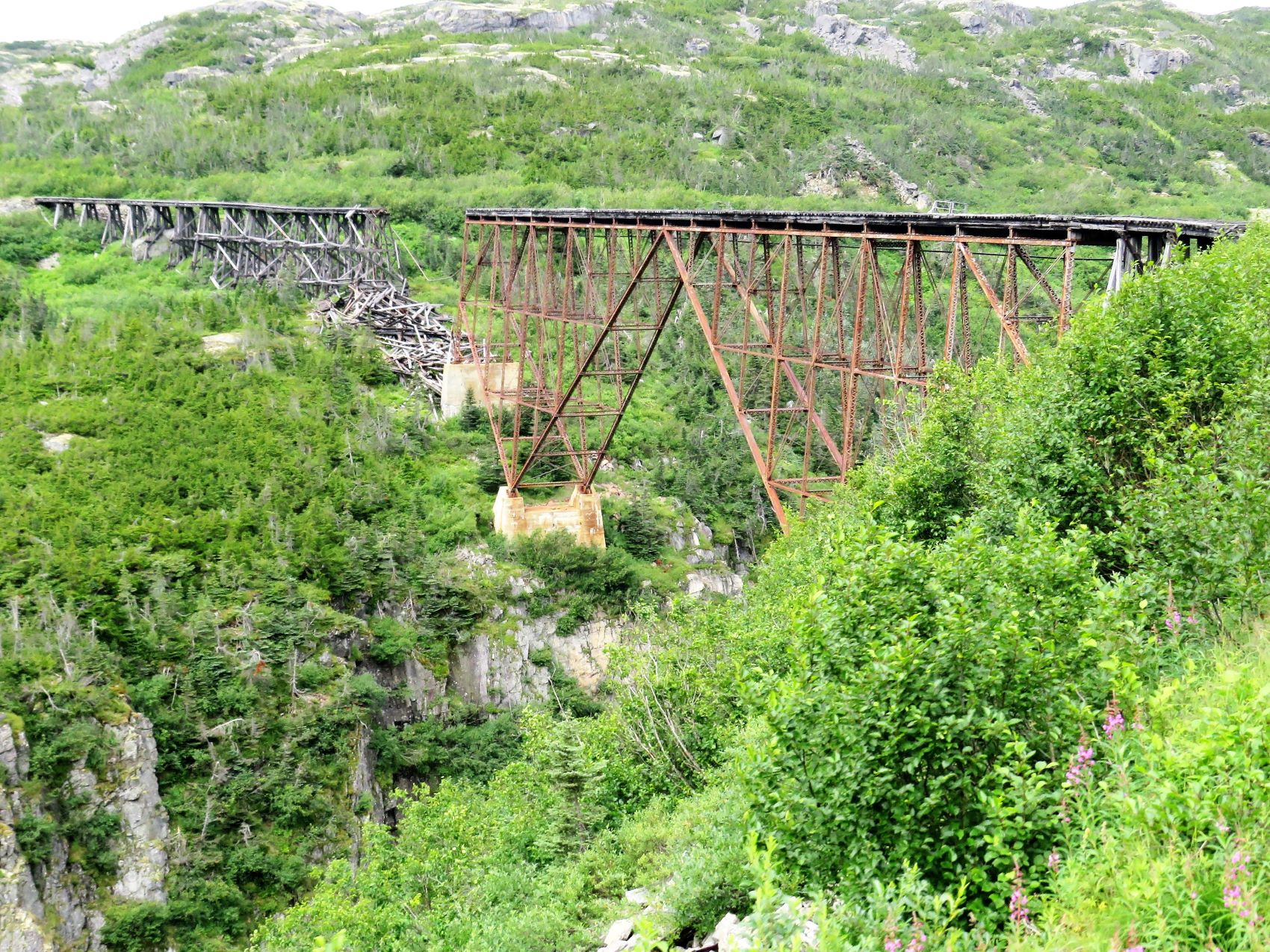
In the distance, a wooden trestle we soon will be going over on our way to the summit.
“Slippery rock” A lot of granite had to be blasted to make way for the train track!
Oncoming trains!
We will be going over the trestle (the one we saw earlier) …
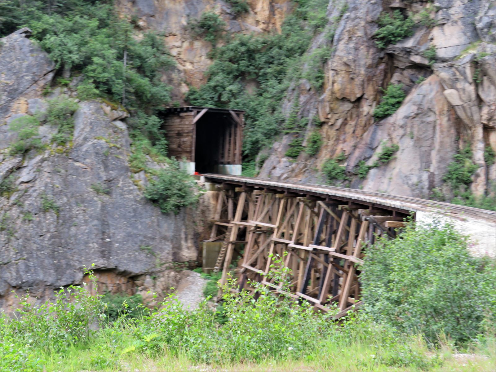
and into a tunnel!
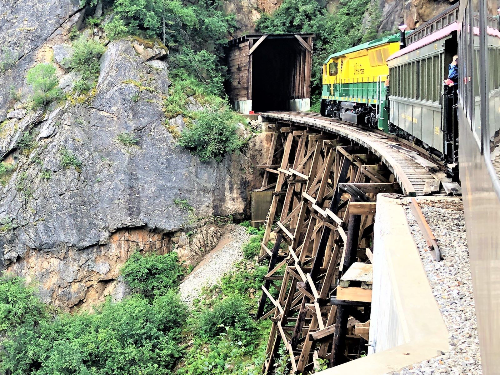
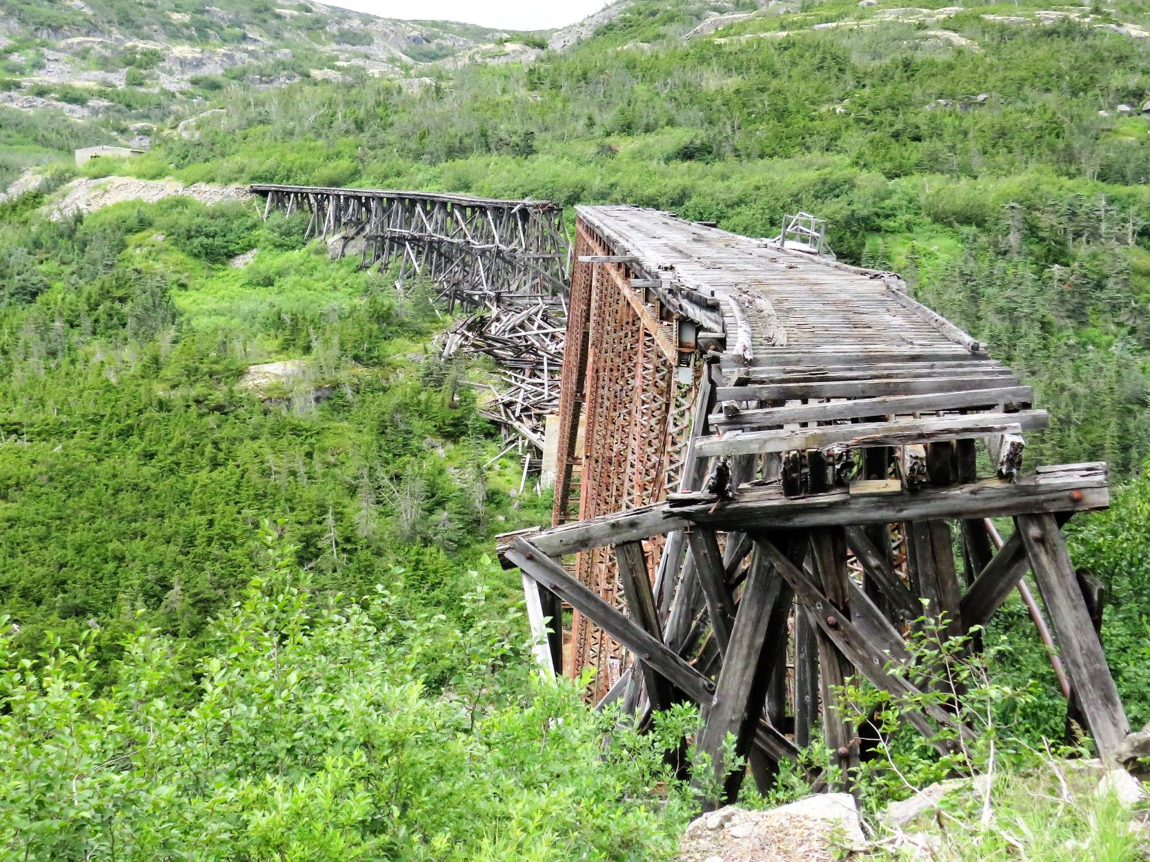
This bridge was in use until 1969.
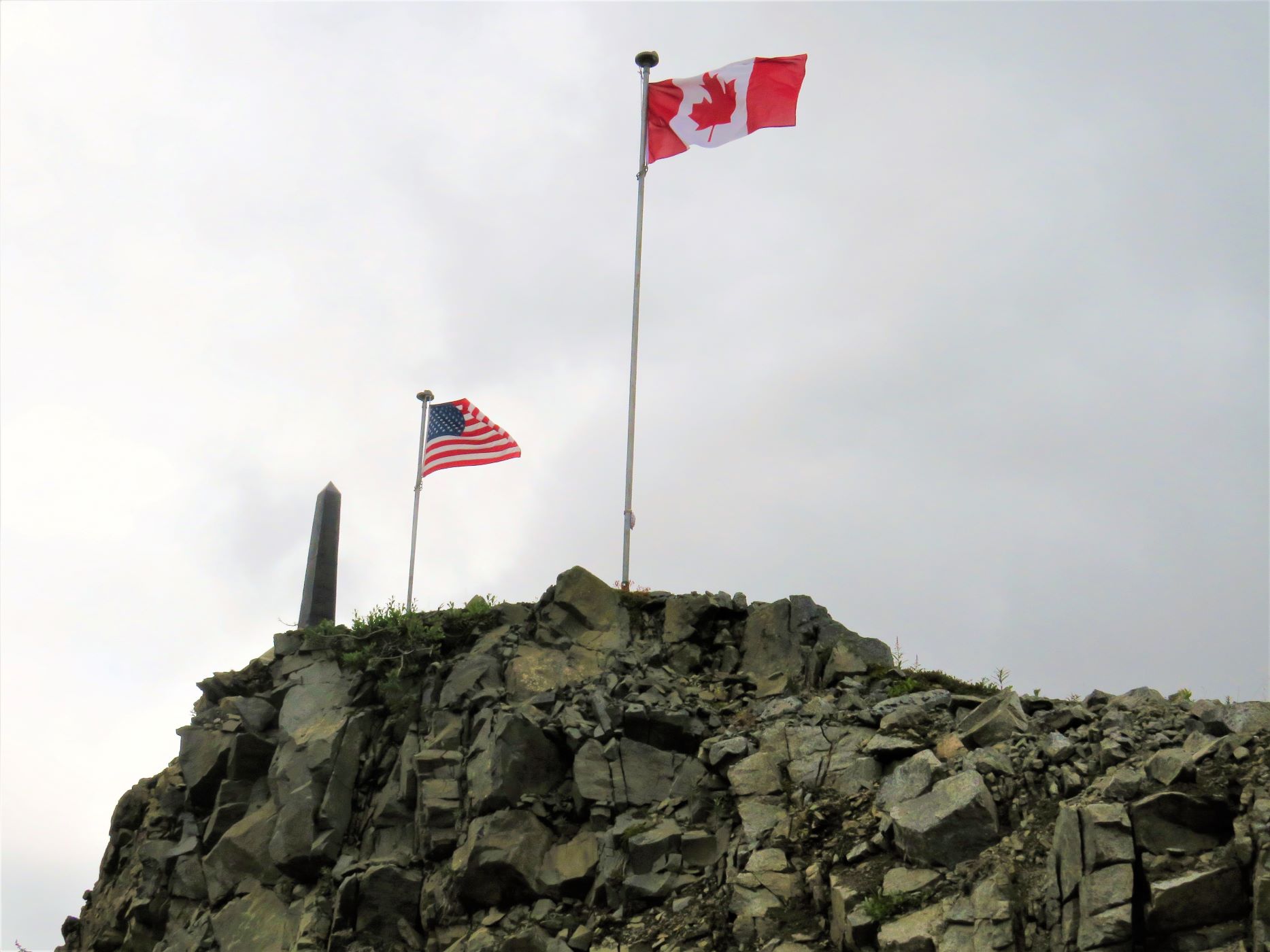
We have reached the summit; elevation 2,888 feet!
…and the US-Canadian border.
The train circled Summit Lake to turn around and head back to Skagway!
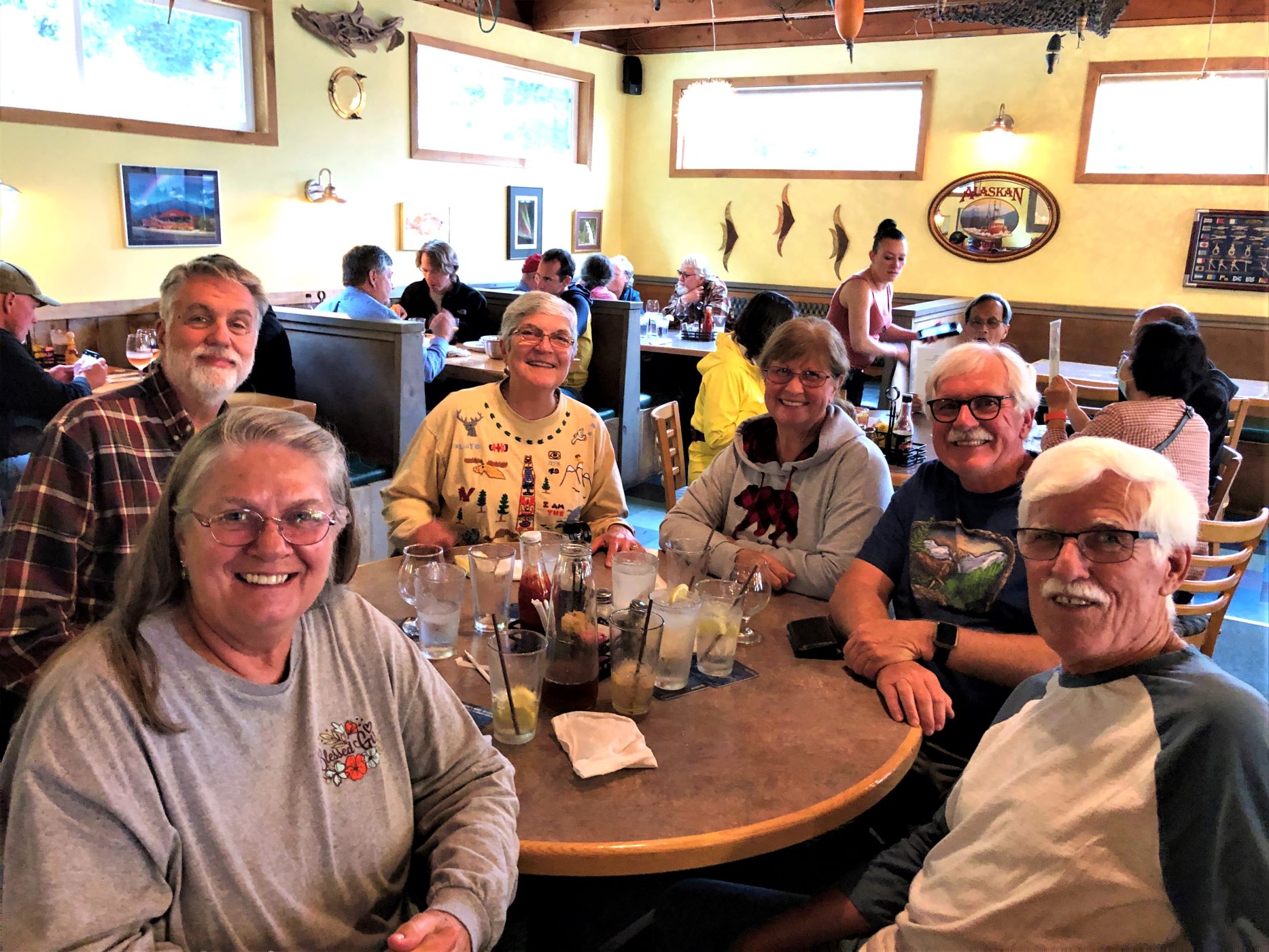
Here’s (mostly) our group enjoying the train ride!
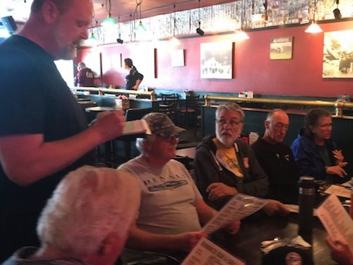
After the train ride, some of us stopped at Broadway Bar and Grill. The dinner menu was not great, so we all got a drink and headed out.
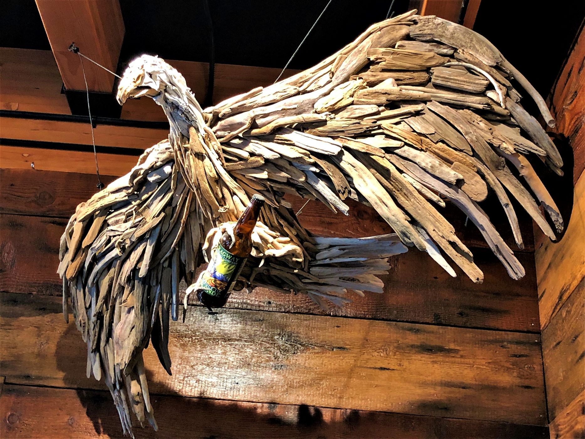
We decided to go to Skagway brewing for dinner. This eagle made of driftwood hung in the entry.
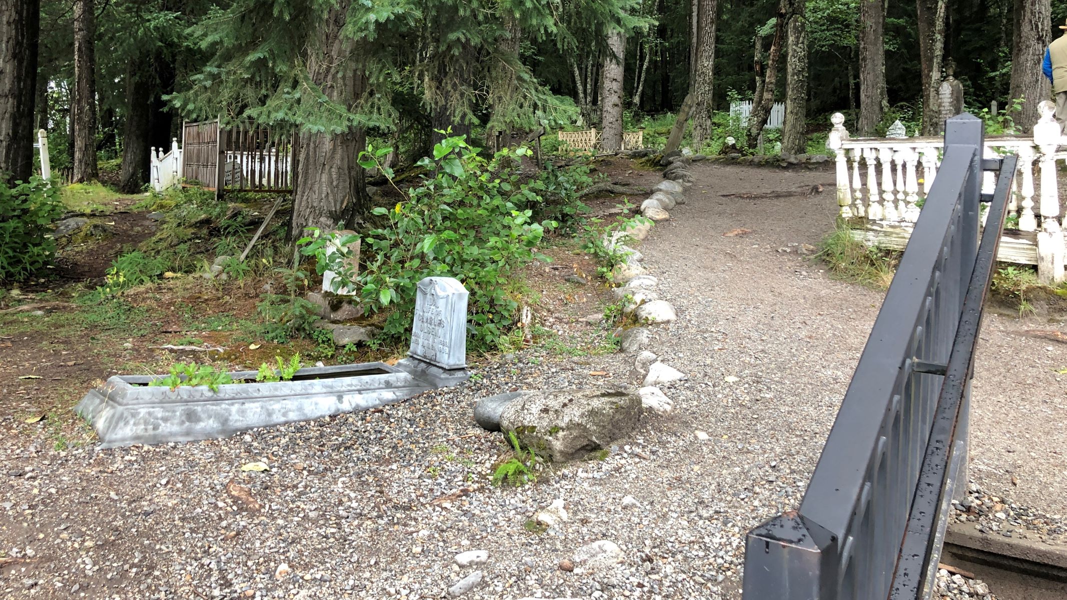
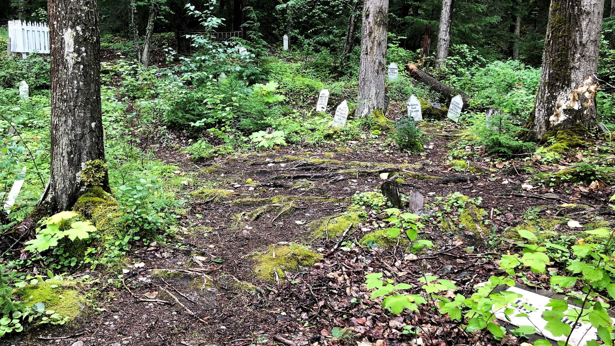
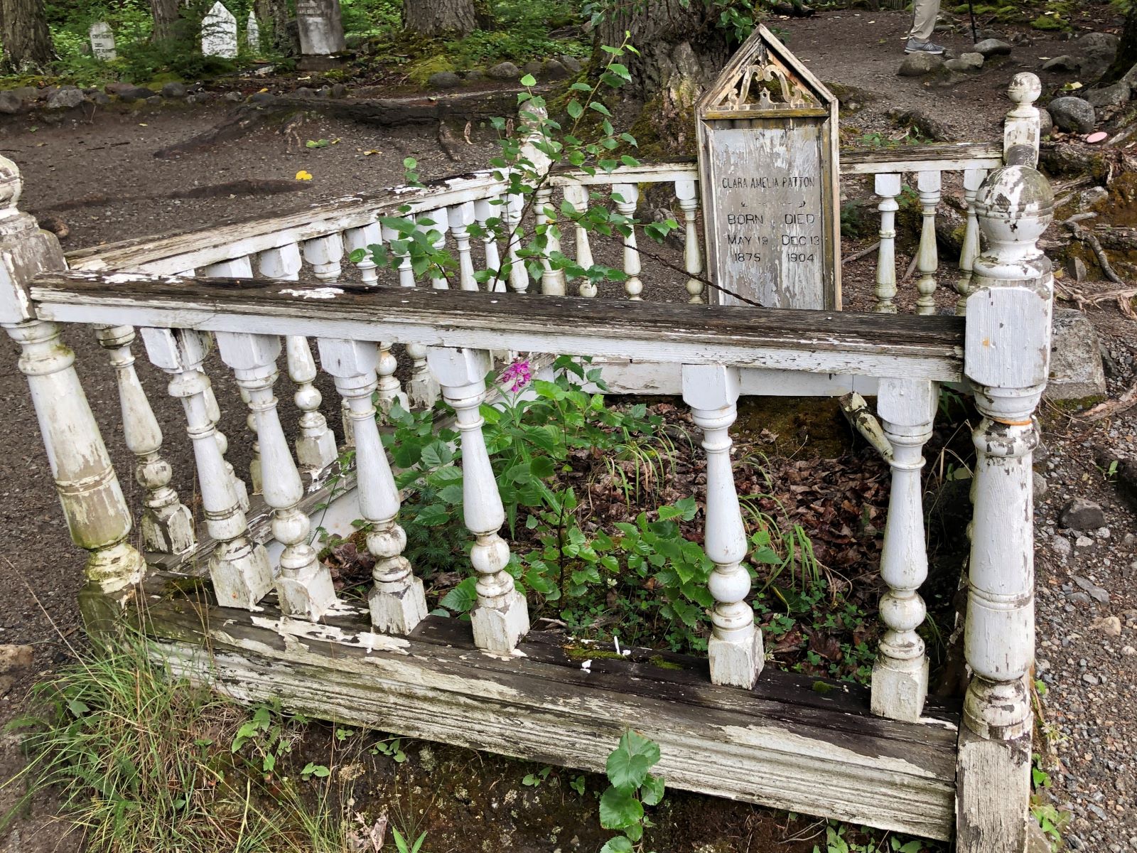
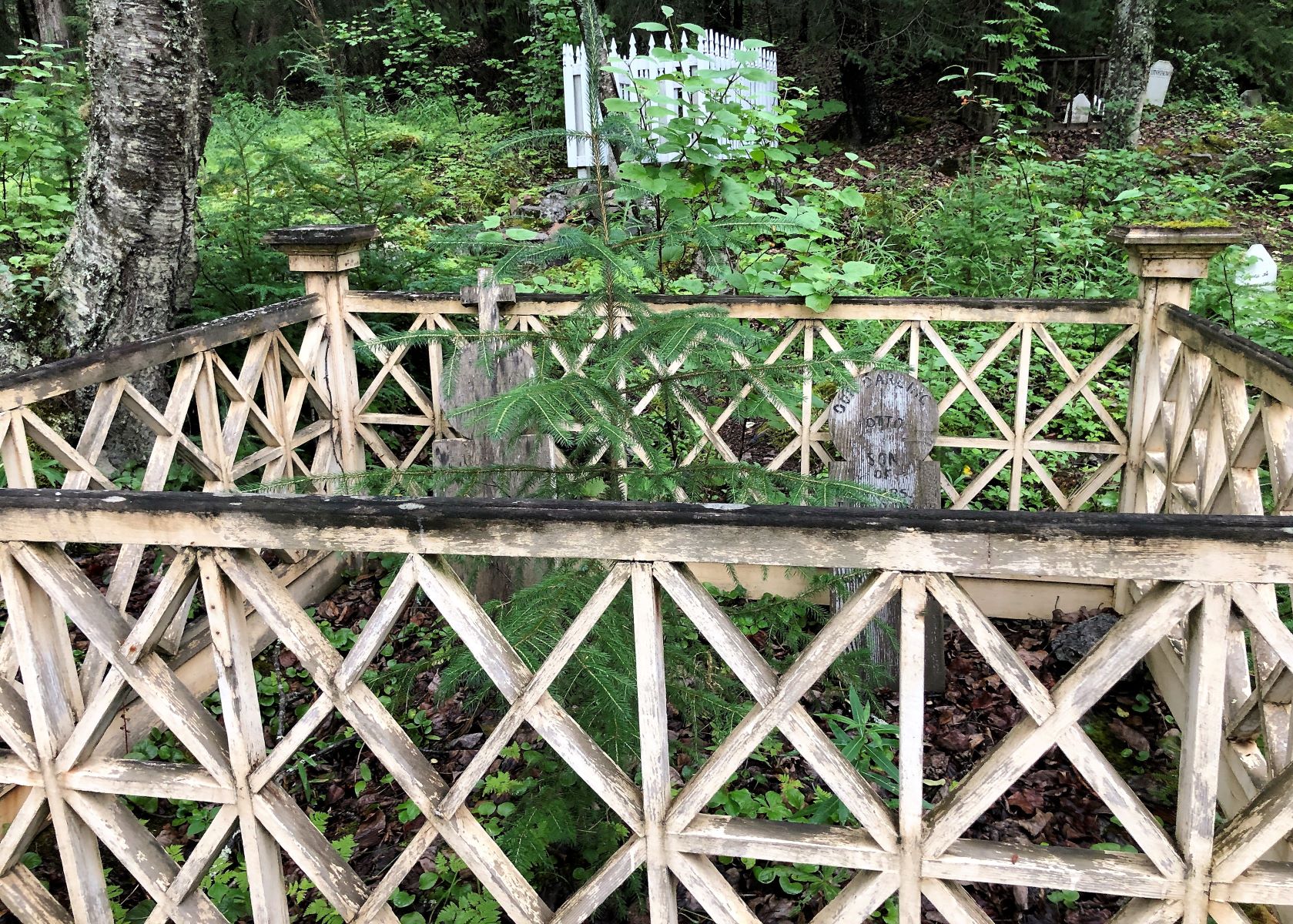
Saturday we had a charter bus tour of the White Pass Summit and Skagway City in the morning. Our tour guide, Jennifer, picked us up from the RV Park at 8:30 on a foggy morning. The first stop was the Gold Rush Cemetery that we zoomed past on the train yesterday. It was in use from 1898-1908.
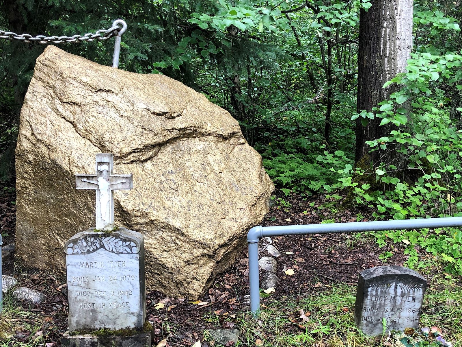
On Martin Itjen’s gravesite is “the world’s largest gold nugget” chained to a tree for safekeeping…
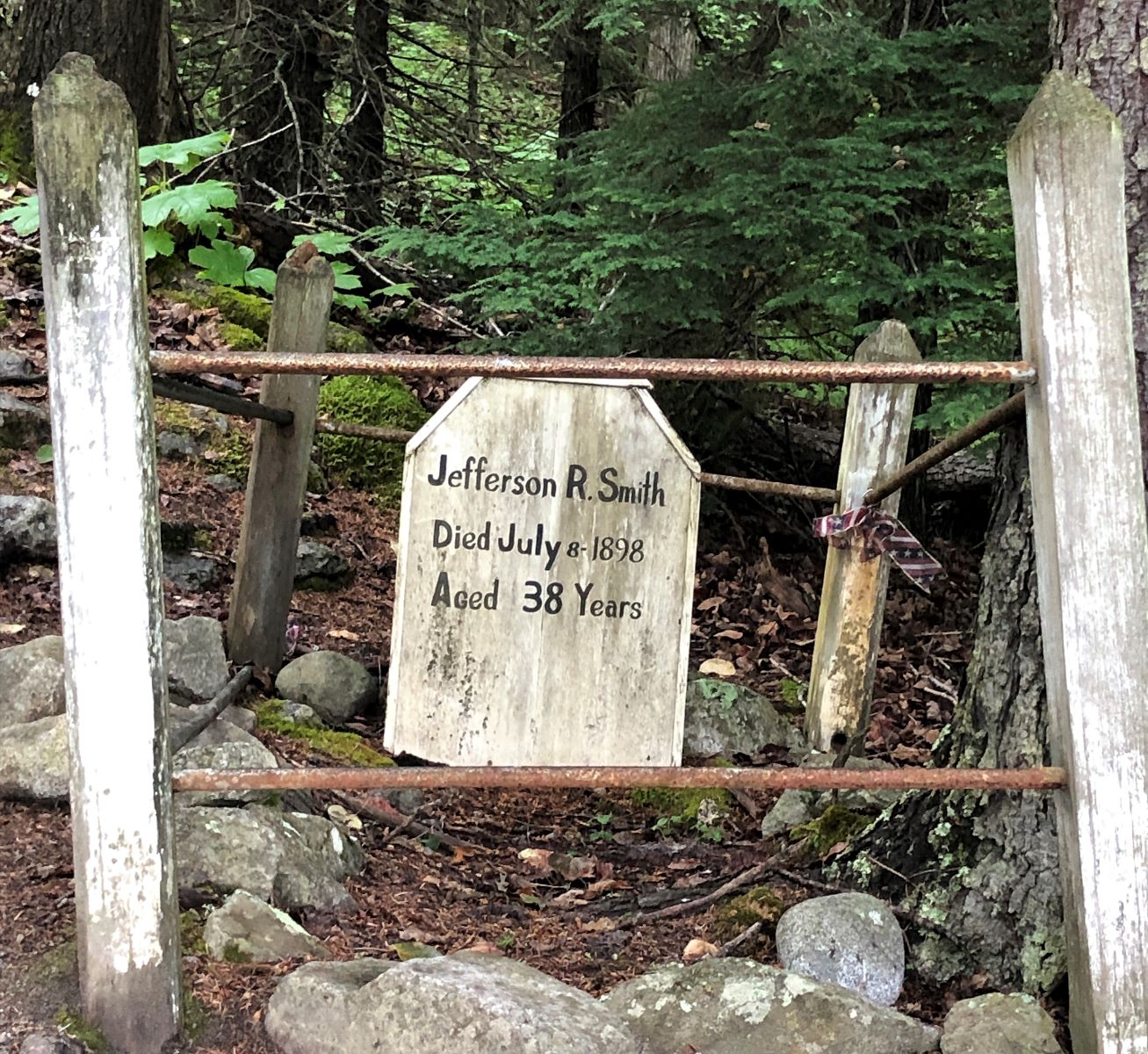
The grave of the notorious con-man Jefferson Randolph “Soapy” Smith.
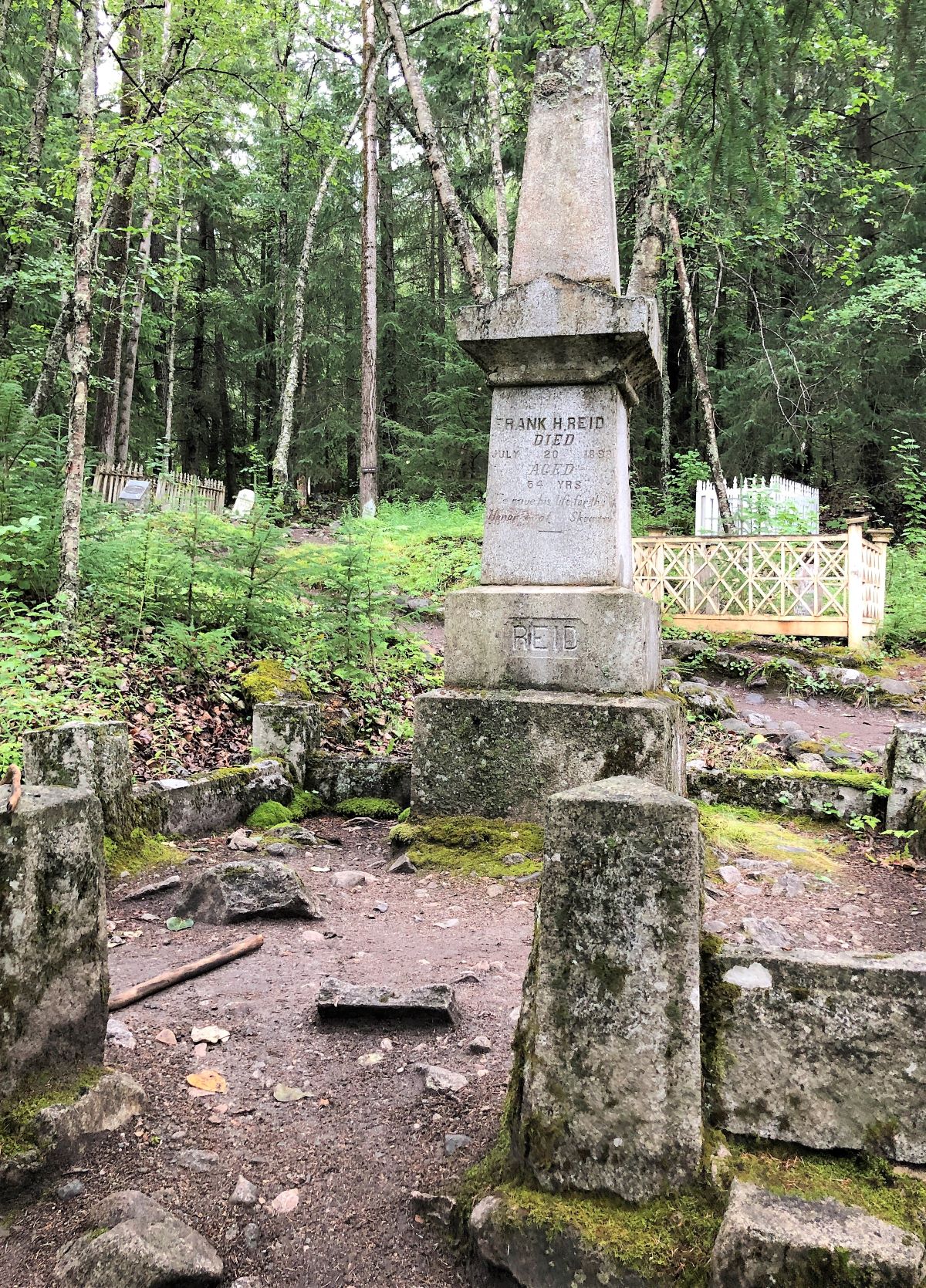
And the town hero who shot Soapy – Frank Reid is buried here.
The National Park Service maintains the cemetery as part of the Klondike Gold Rush National Historic Park.
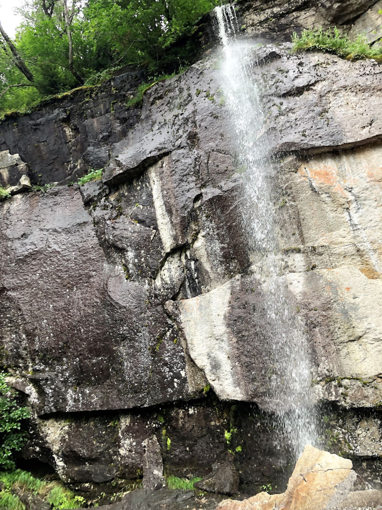
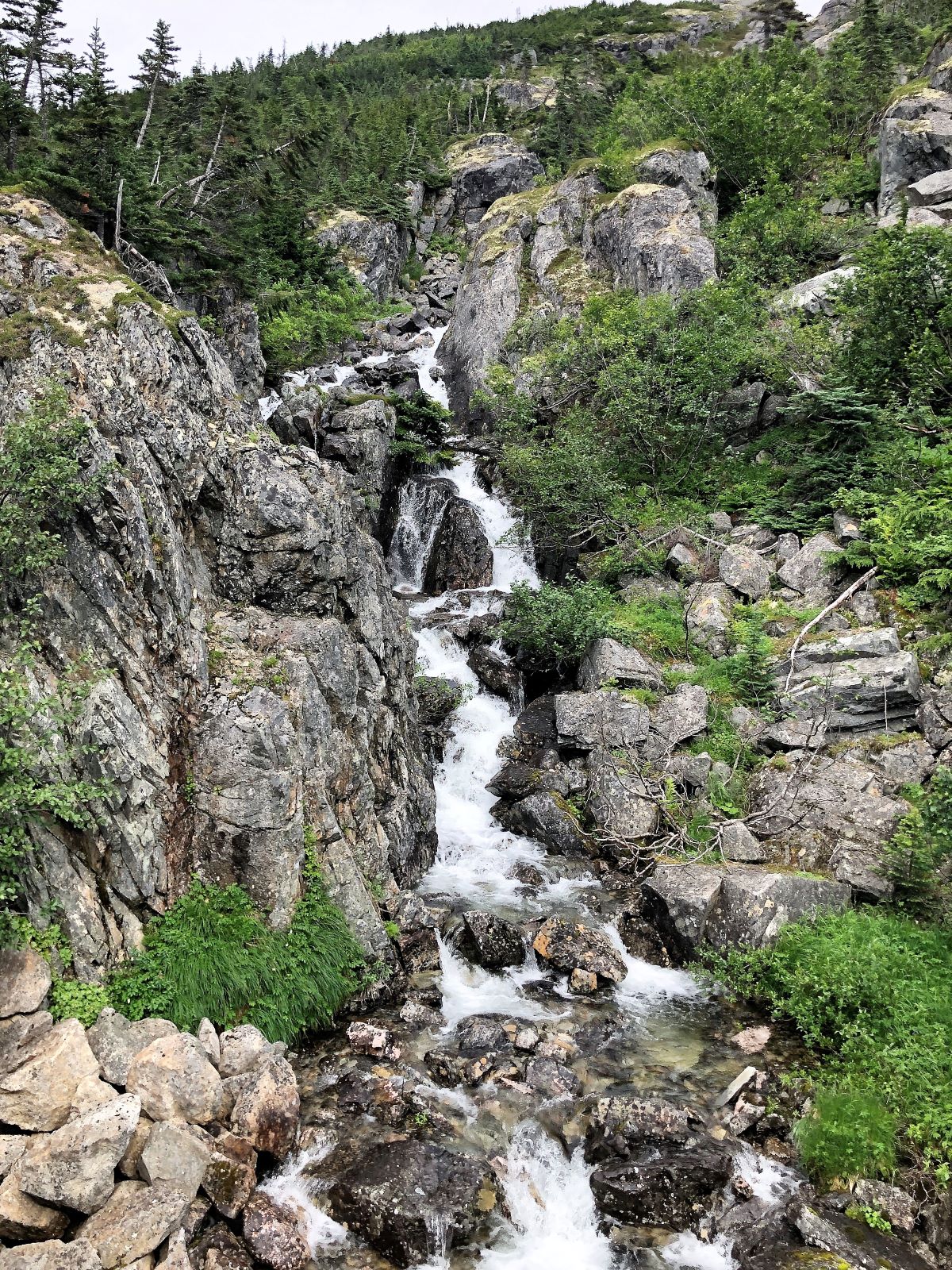
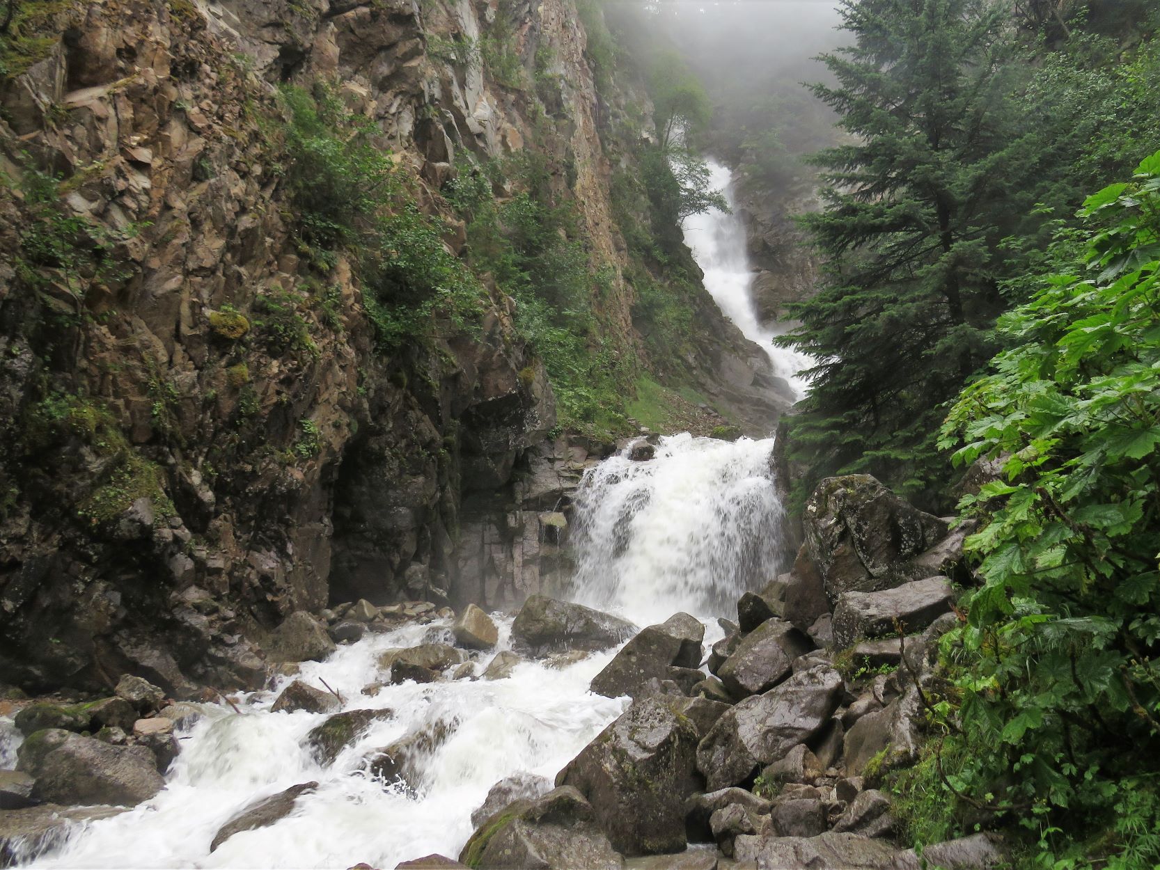
Beyond the cemetery is Lower Reid Falls, so we went to go see the waterfall.
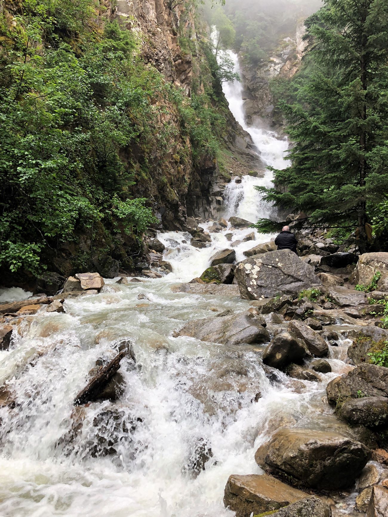
A closer look at the upper part of Lower Reid Falls!
We stopped at an overlook to see Pitchfork falls – well, sort of.
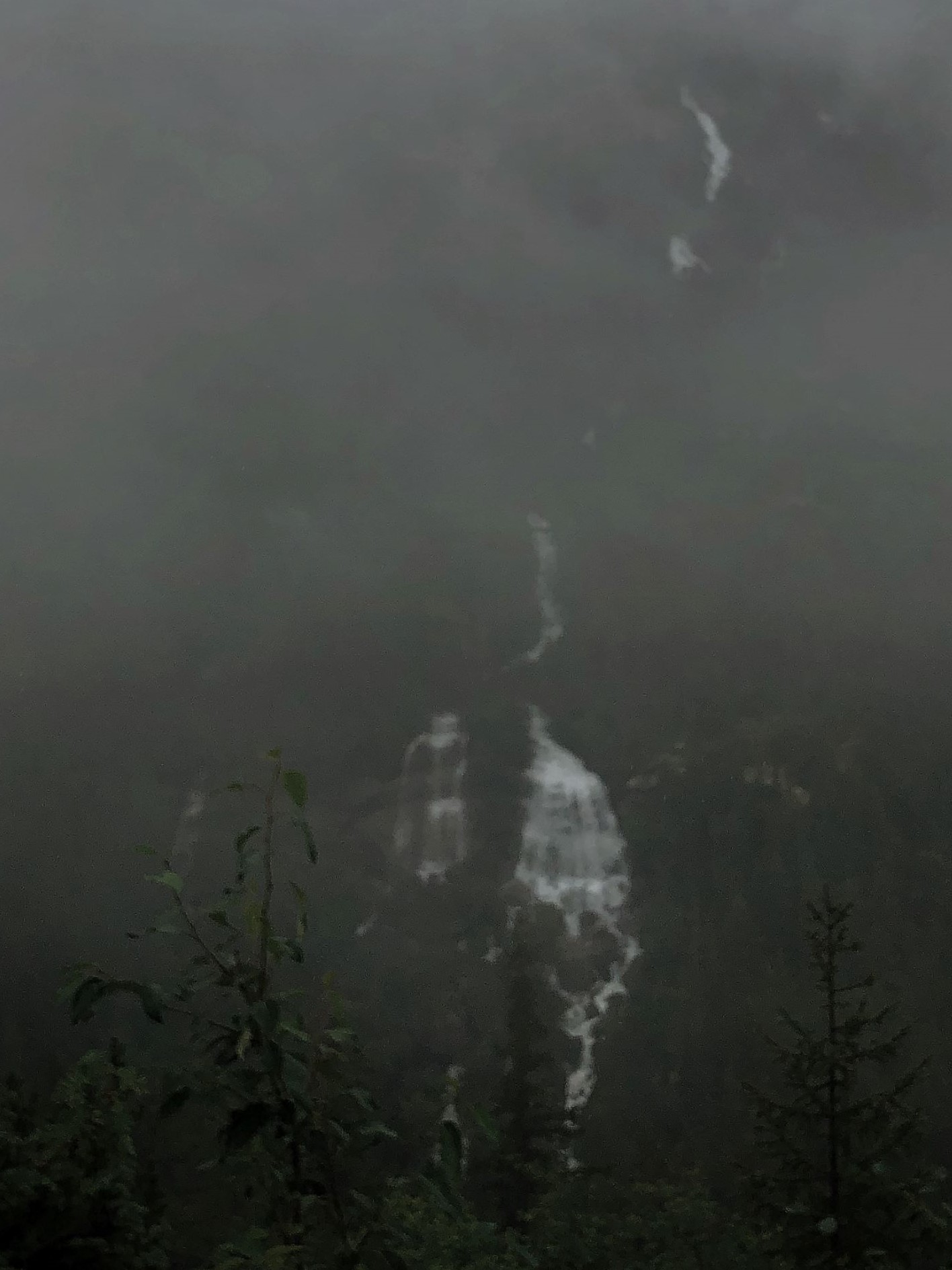
The pipeline we saw yesterday on the train was barely visible running down the valley to the power plant.
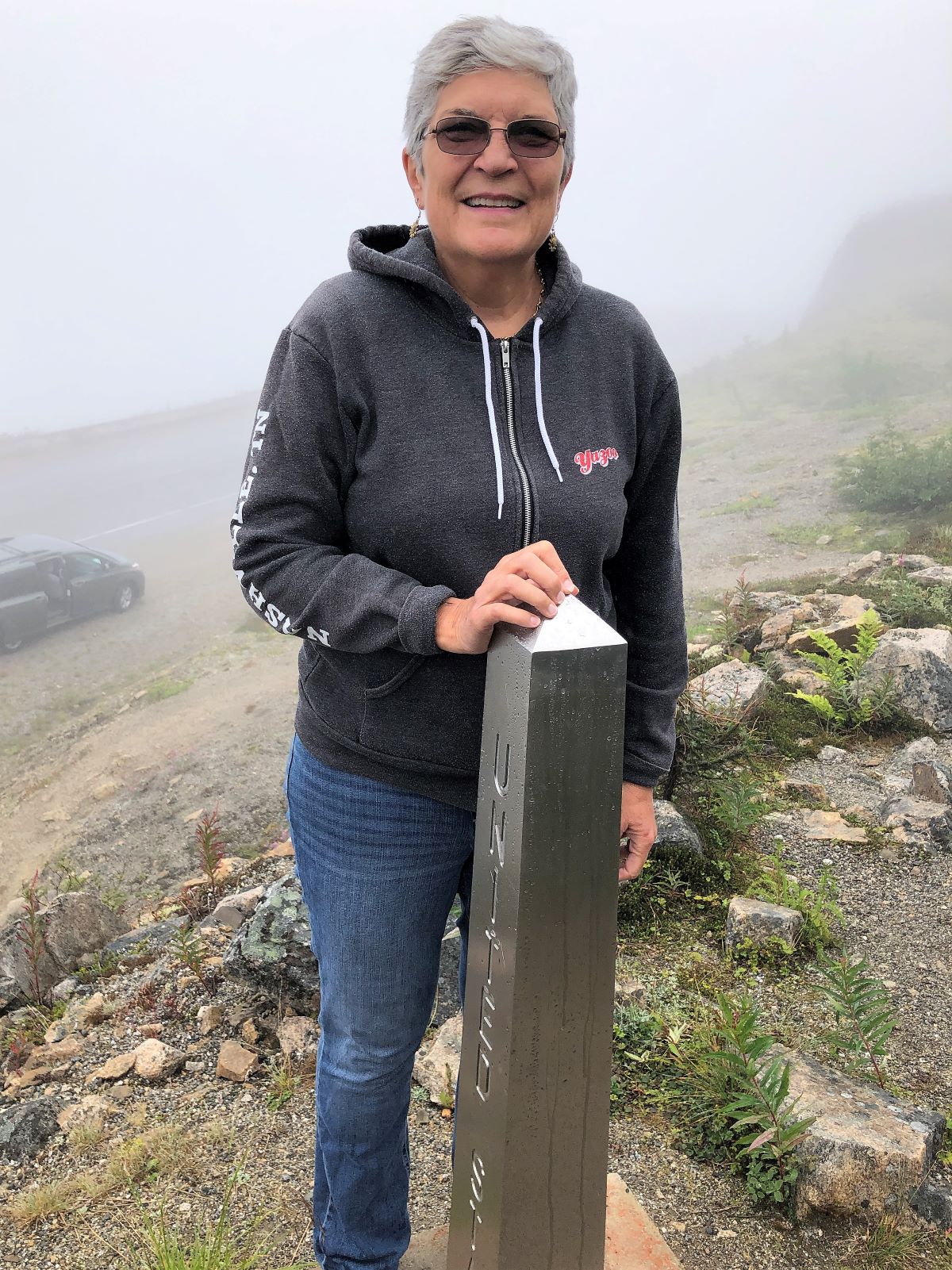
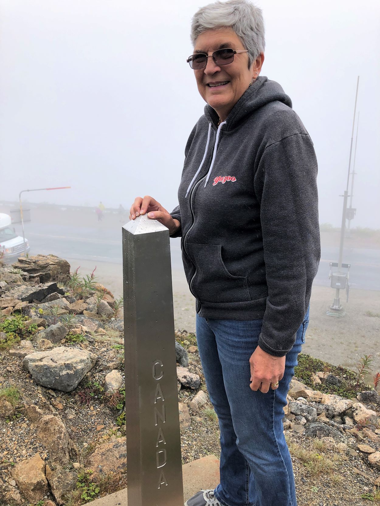
We came to the US-Canada border.
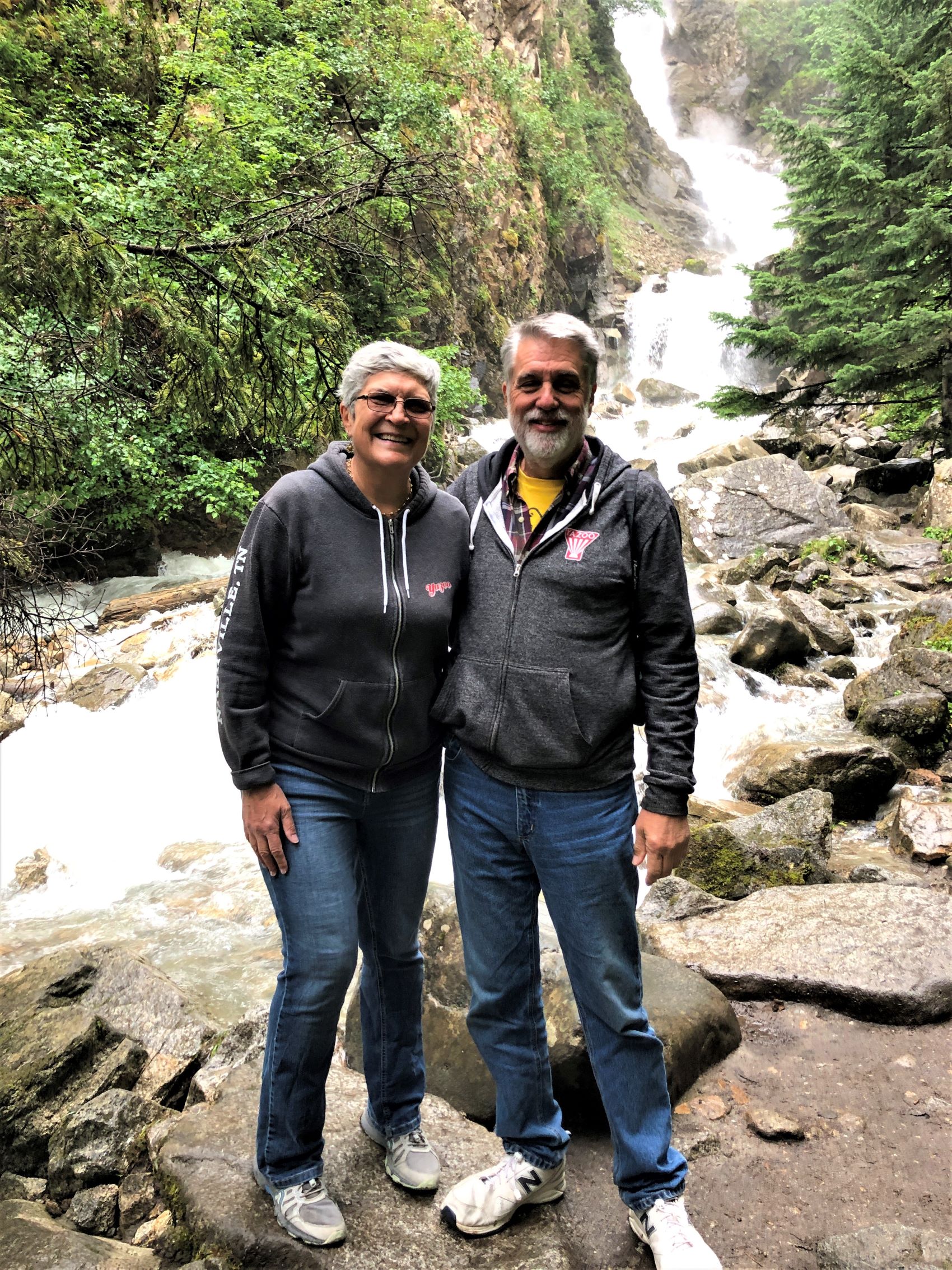
Here’s Linda at the obelisk marking the border – one foot in US and one in Canada.
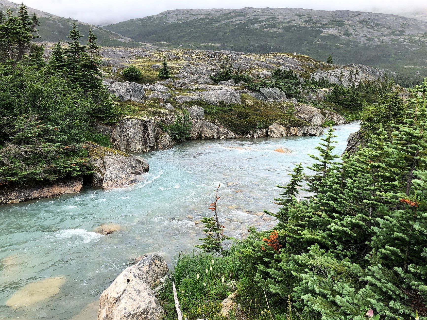
We stopped at another pullout and looked at the odd landscape and the Skagway River.
The yellow seen on the rocks is a spongy plant called lichen.
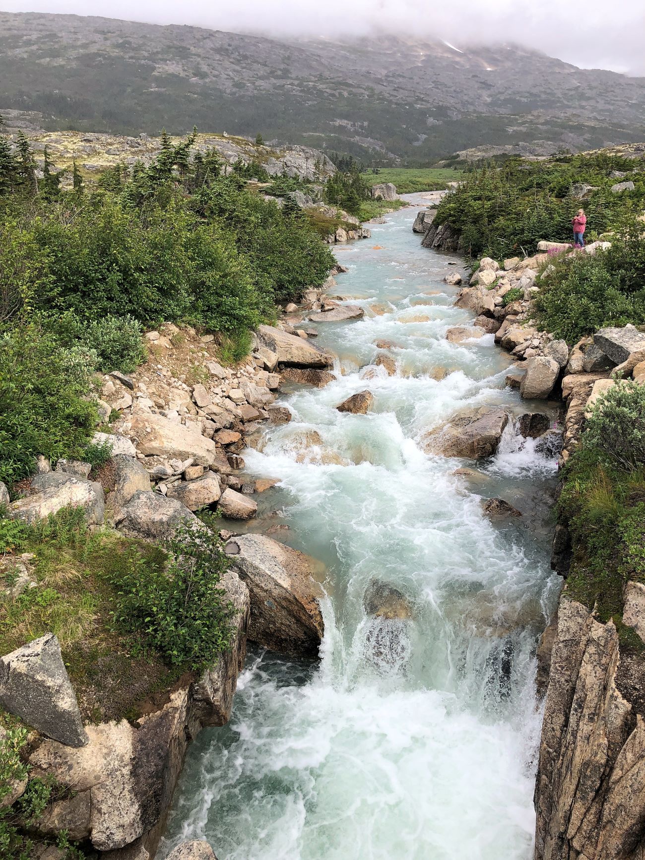
We crossed the highway to look at Summit Creek – the glacial melt gives it the blue-green color.
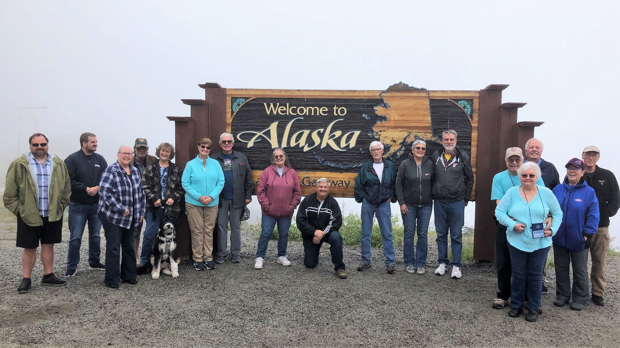
The “Welcome to Alaska” sign called for another group photo.
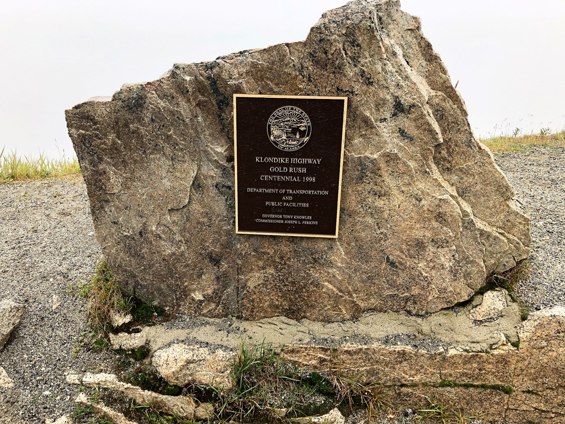
There was a marker celebrating the Centennial of the Klondike Highway Gold Rush.
Teeter seemed to be enjoying the bus tour!
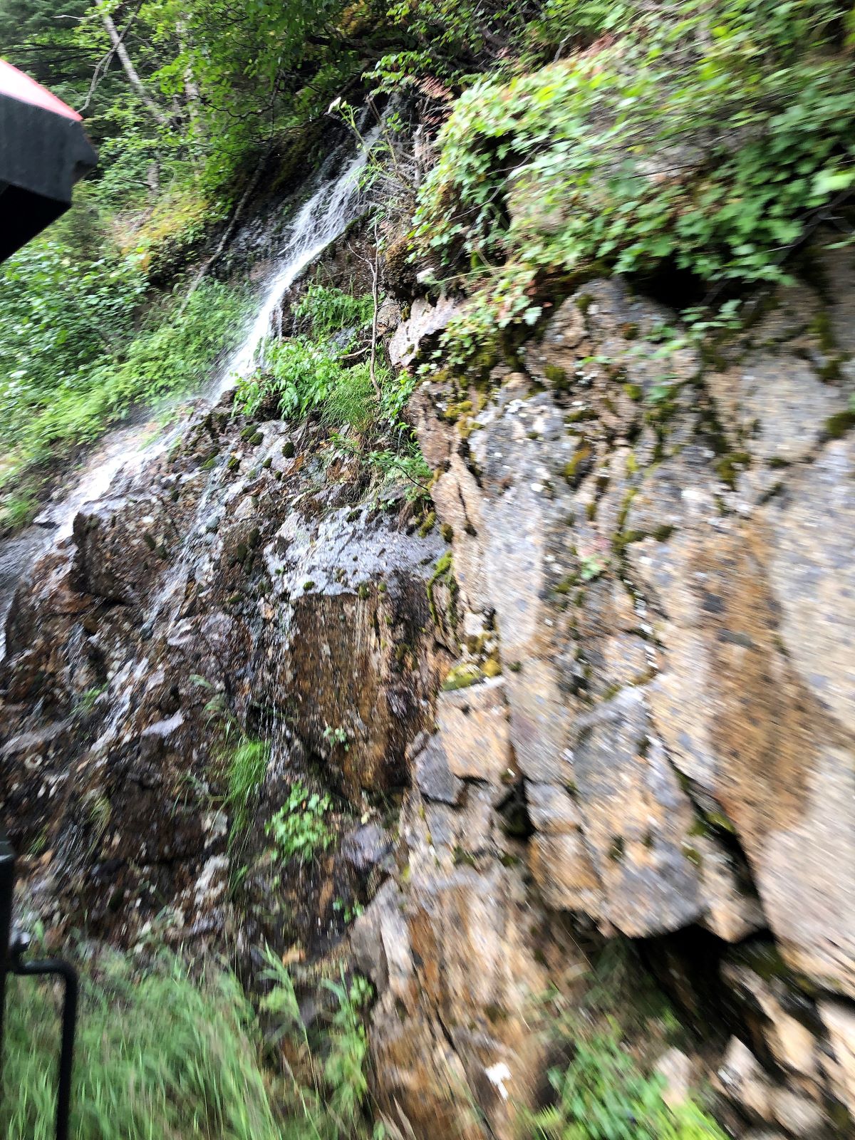
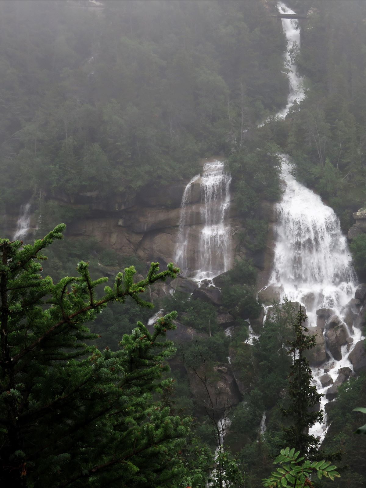
Next stop was Bridal Veil Falls – we noticed this waterfall on the drive into Skagway on Thursday, but there was not room to pull Acey off the road. This section of the falls above the highway is only a small portion of the 6,000 foot drop into the valley that we saw a good portion of from the train yesterday.
Jim called this the “Rodney Dangerfield Falls” – just a few yards down from Bridal Veil Falls, it gets no respect!
Our last stop was at an overlook where we hoped to see Skagway – but the fog, which had been heavy all morning, prevented us from seeing much.
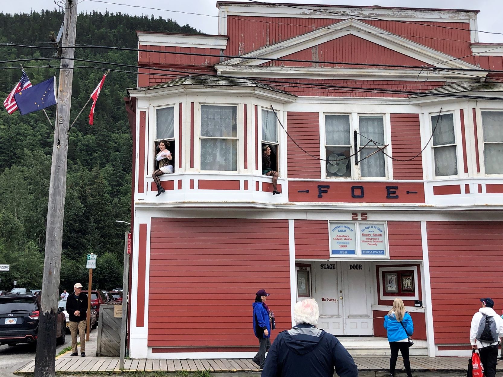
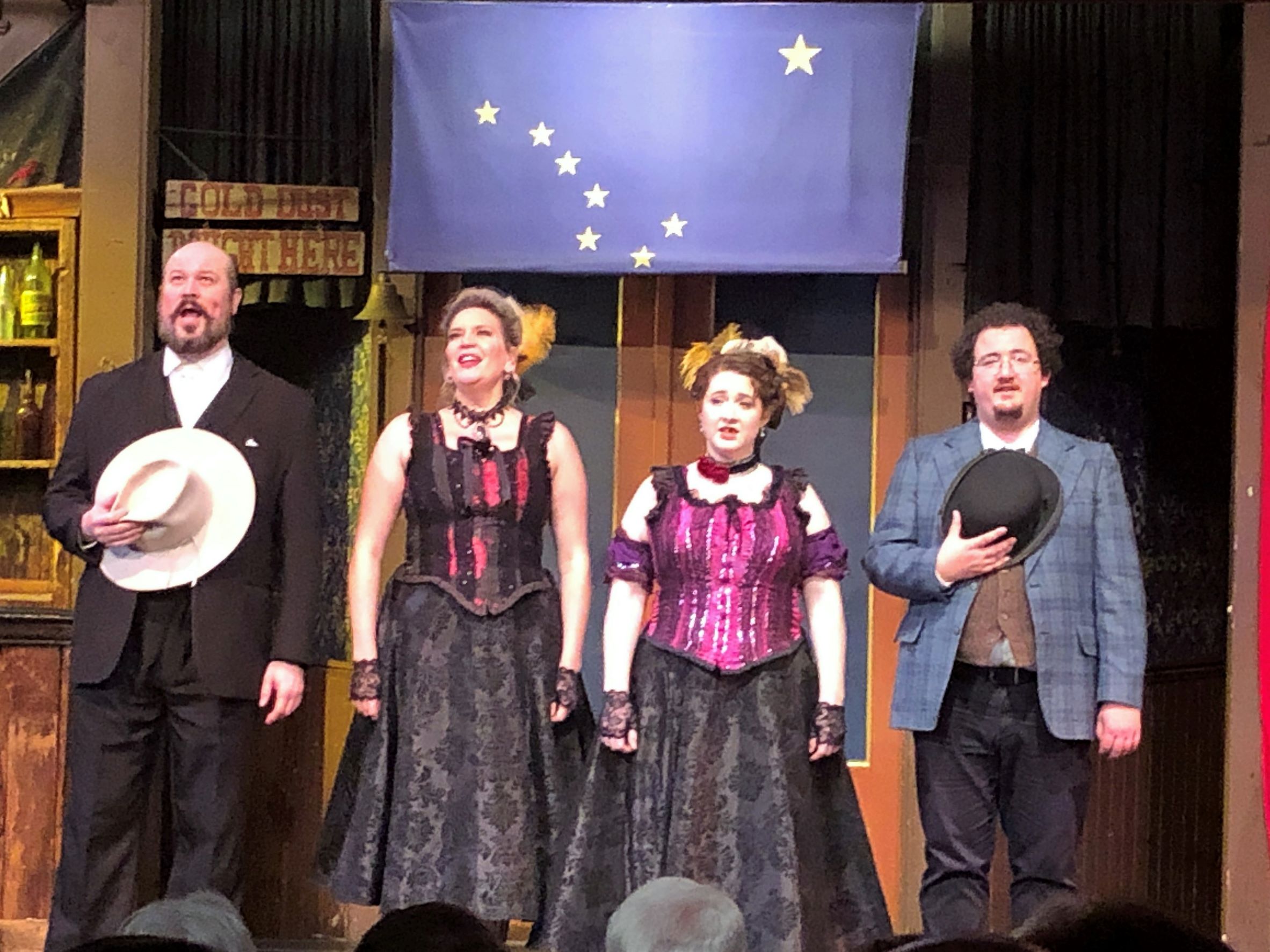
We were dropped off at the RV park around noon and made lunch. In the afternoon, we went to the Days of ’98 Show ~ with Soapy Smith. As we approached the theatre, two ladies were hanging out the windows beckoning us to come see them!
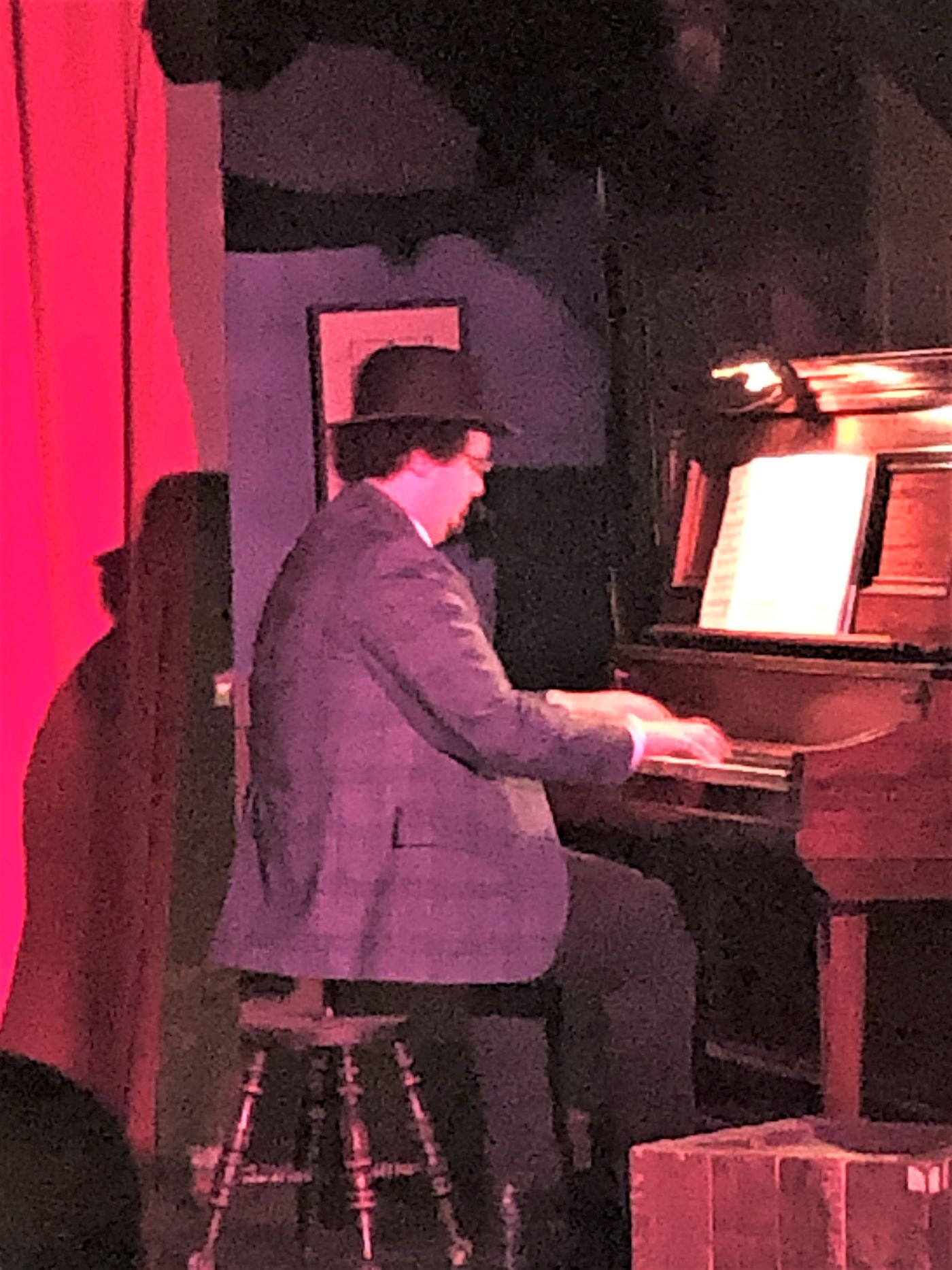
It was a Vaudeville type show complete with a piano player and a glamorous starring lady.
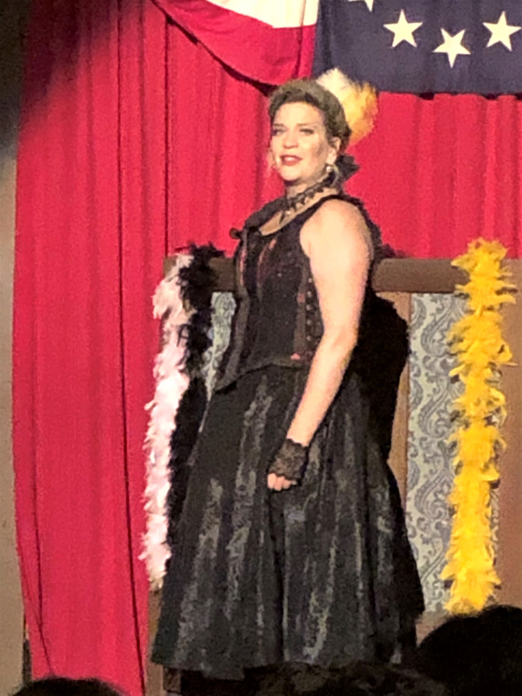
There was singing and dancing of course.
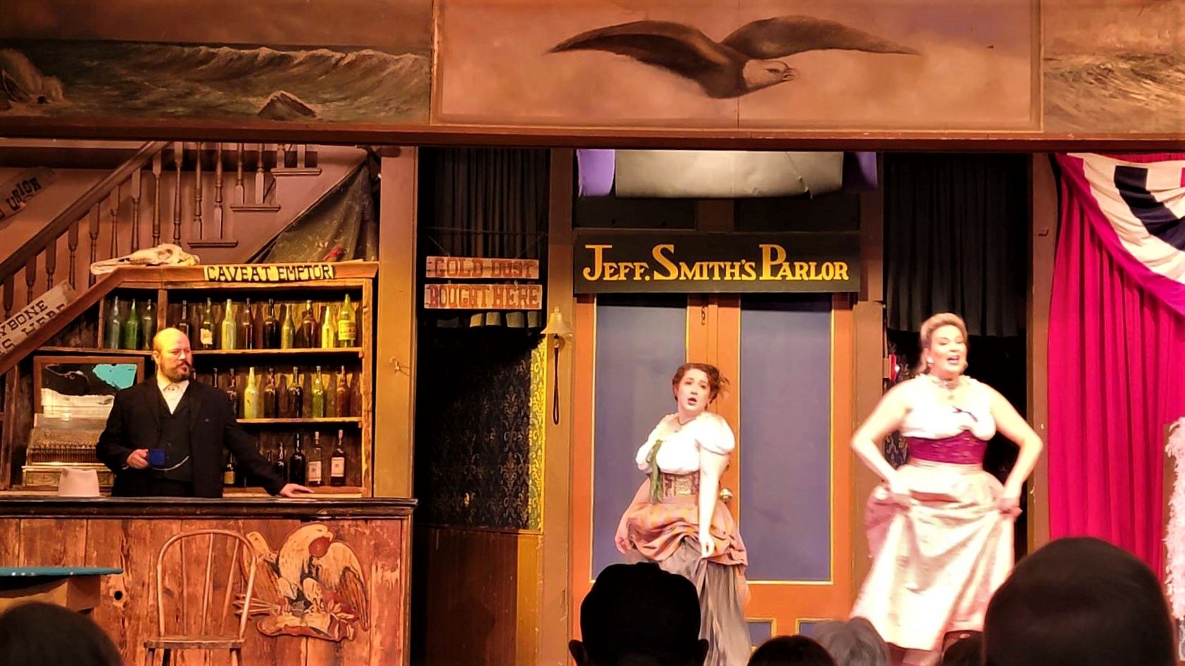
It told the story of Jefferson Randolph “Soapy” Smith who had a nine-month reign in Skagway. His gang ran numerous bunco schemes while Soapy appeared to be a model citizen.
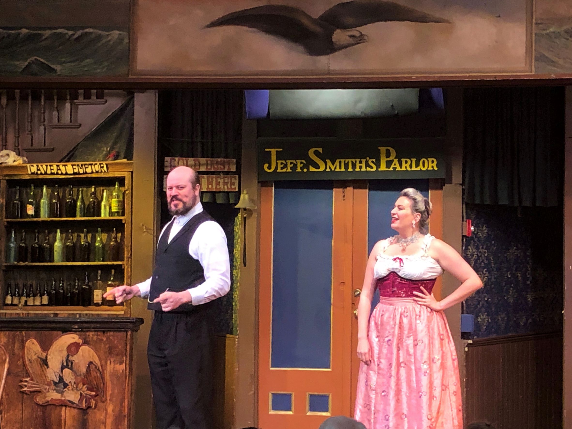
After a stampeder lost $2800 in gold dust, Soapy and his gang were blamed – and Frank Reid decided it was time for Soapy to face the music! Soapy and Frank both end up dead in a shoot-out…
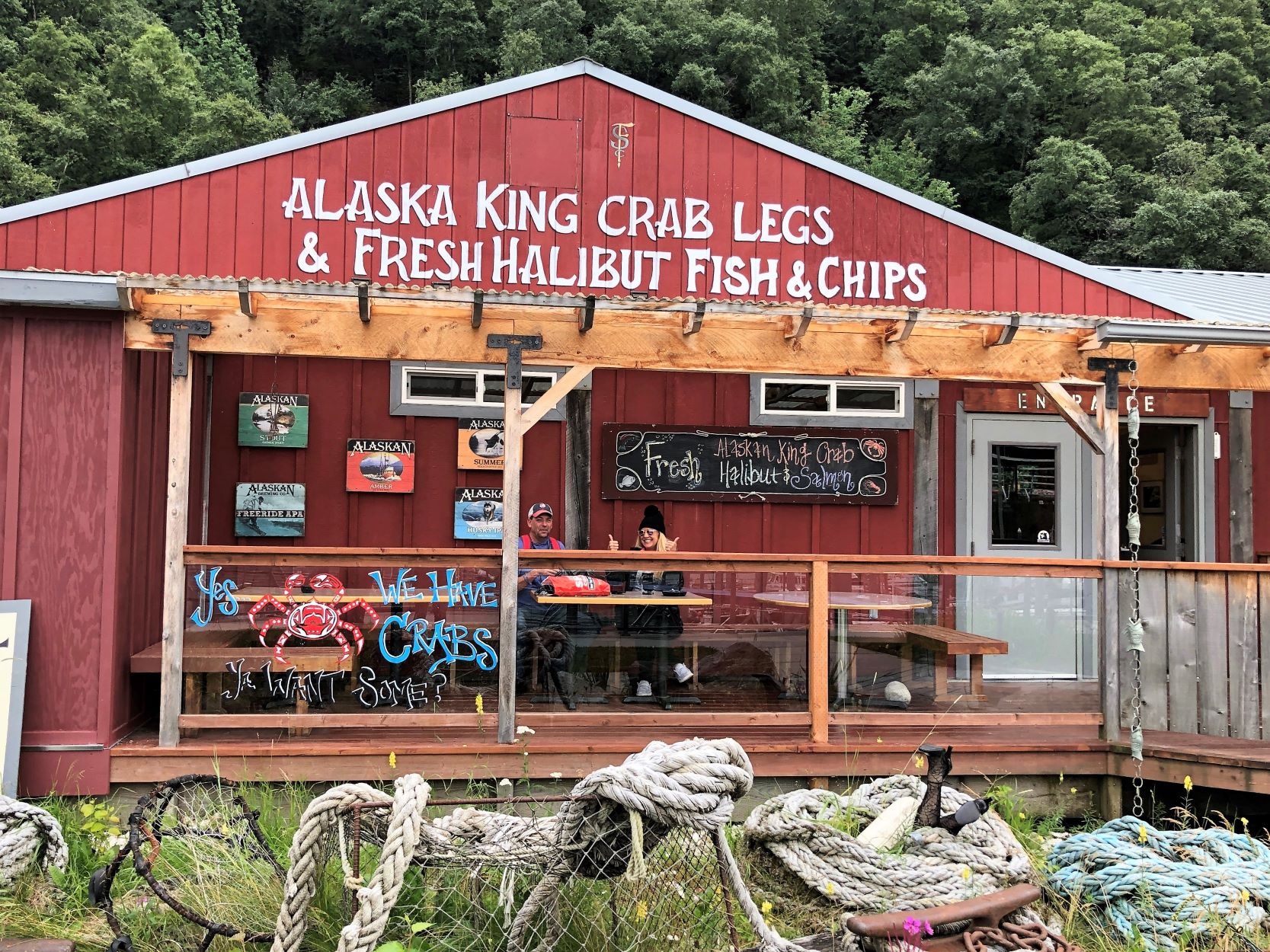
After the show, Barry and Sherri invited us to the Eagles (F.O.E.#25) for libations. The Eagles co-sponsor the show and some of the stars were there too! We had a fun time, but alas – no photos! Someone suggested “Let’s go to Skagway Fish Co. for dinner” – so we did! The guy on the porch said “Get the crab stuffed halibut – it’s delicious” -so, many of us did (and it was!)
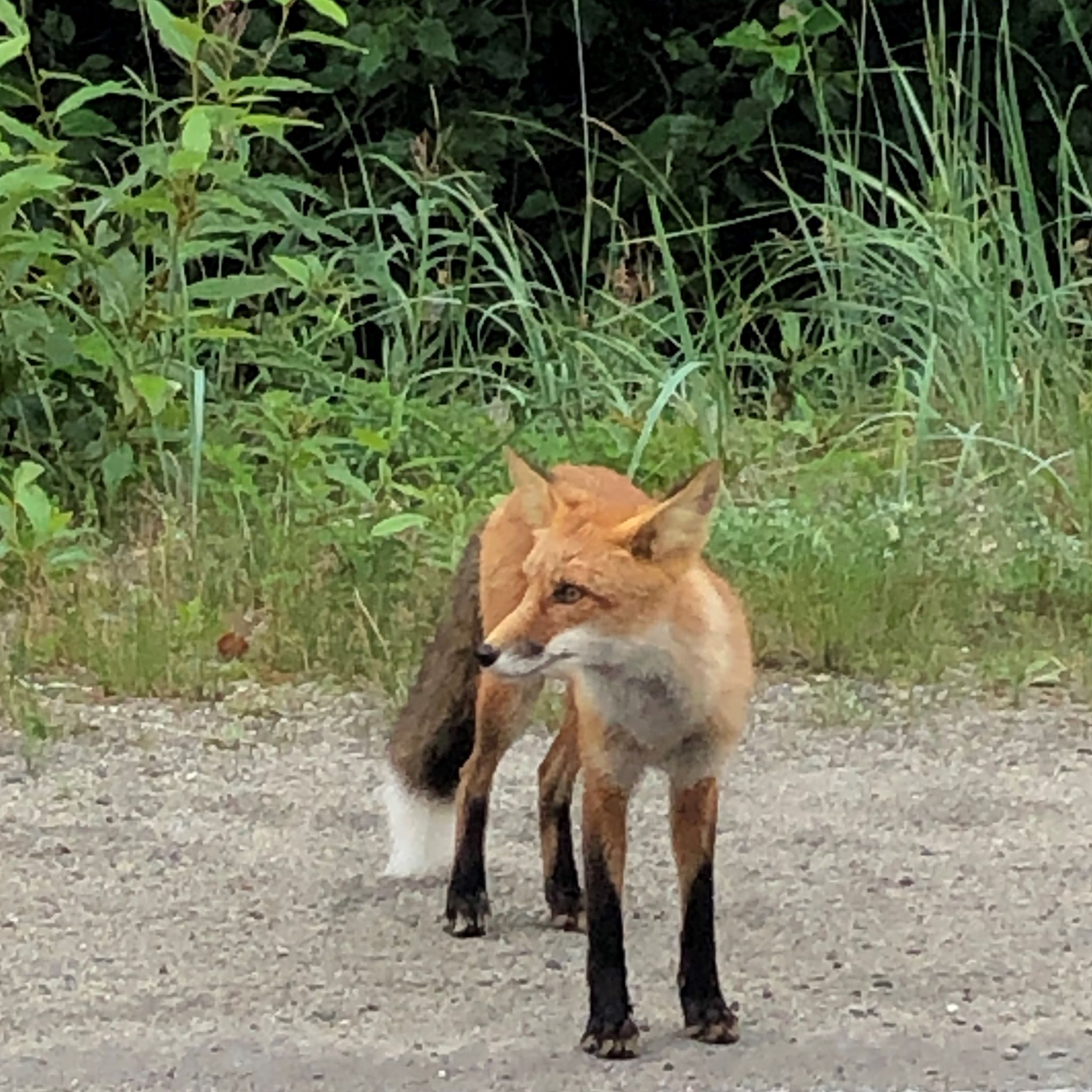
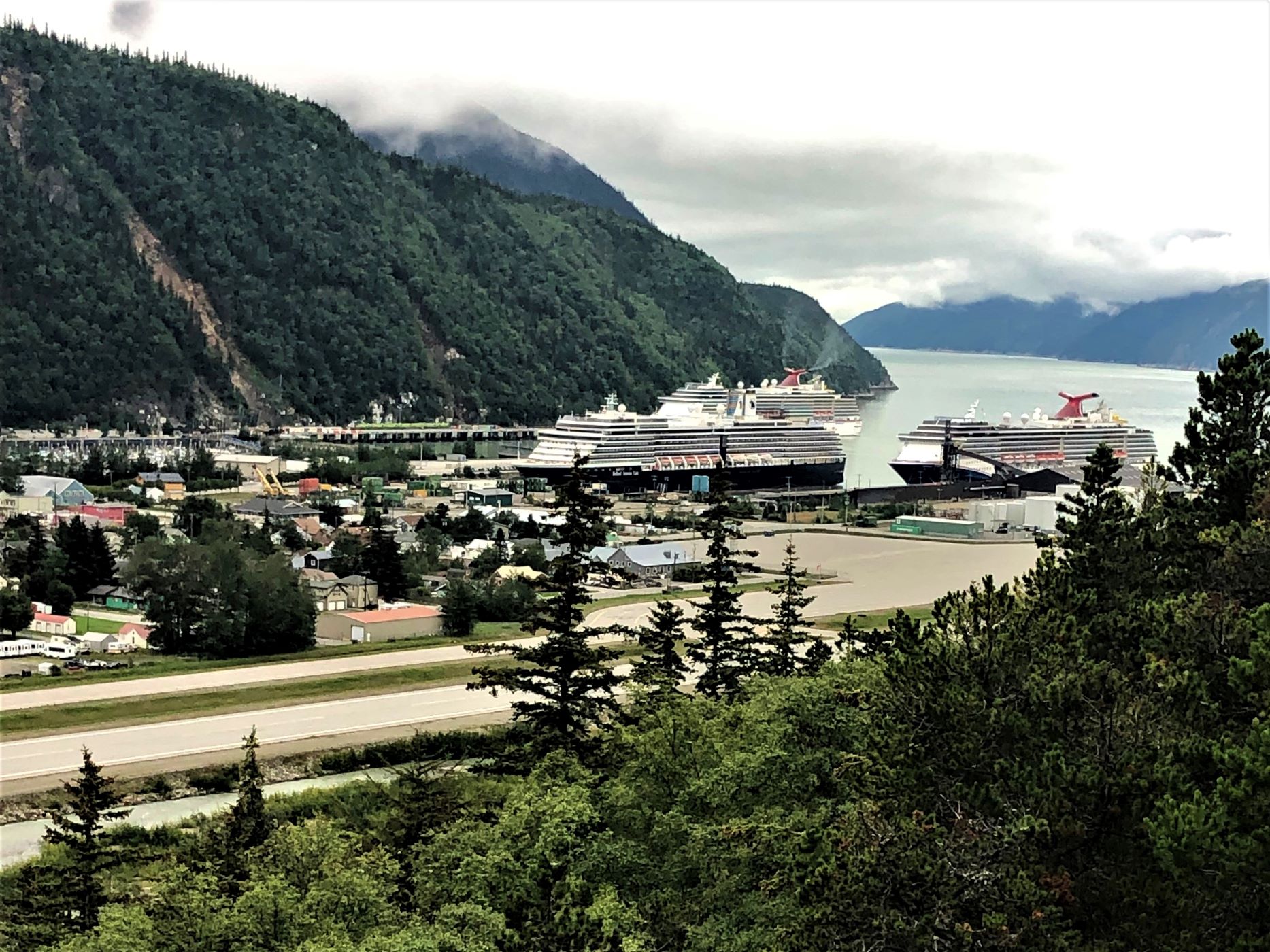
And the day wasn’t over! The sky had cleared up and we thought we’d drive up to the overlook we were at this morning to see what we could see! As we neared the parking area, this fox was standing by the road!
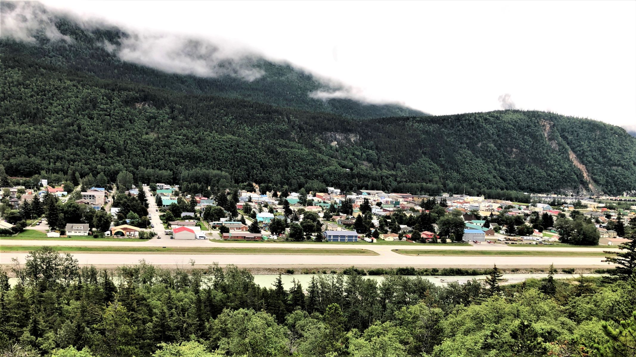
Amazing – we could see Skagway and the mountain beyond!
Three cruise ships were in port; Carnival Spirit – which we took in 2009 to cruise Alaska, Carnival Miracle – in 2005 Linda’s parents took the whole family – 13 of us – on a Caribbean cruise out of Tampa, and Holland America’s Zuiderdam which took us to the Panama Canal in 2015!
As we were getting ready to head back down the hill, Lee sent a text that Klondike Brewing was open! It was nearly 7 pm, and they would be open for another hour – we had passed by there the previous 2 days and were disappointed they were closed – so we made it our last stop for the day!
We enjoyed our time in Skagway and head out in the morning. We’ll be heading to Hyder, AK with 3 overnight stops in Canada on the way.
![]()
What an amazing adventure. Was that prehistoric ground sloth huge? Tiger sized? The trestles on the railroad line looked so rustic. Love the scenery and the commentary.
The landscape in Alaska is truly epic. That’s the America that few get to see. Thanks for the beautiful pictures. The train ride looked really special. And I think if I were a grizzly bear in Alaska, I would sit patiently in the shade and wait for a bicyclist. Also enjoy your skepticism and newsy information boards. Safe travels!
Thanks Cuz! By the way, remember the rain you wanted us to bring to Colorado? It’s been following us quite often since then. We have been reading some more about Beringia and it is apparently a theory – it just doesn’t seem plausible to us that the area could have been ice free. By the way we have seen a t-shirt that shows a bicyclist riding down the road with a bear chasing after him with the caption, “Finally, some lean meat!” I can’t post a photo in comments, but I’ll text it to you! 🙂
Great photos Linda. The scenery is indeed beautiful and your commentary is delightful.
We were in Skagway in 1977 and took the WP and Yukon railway to a chuck wagon dinner at the top. And again in 2002 with Jeff’s parents but the dinner venue didn’t exist anymore.
All of Alaska is such a unique and ‘wild’ place. Glad you’ve had a good trip.
You guys are having too much fun !!!! Your trip into and around Skagway was just flat beautiful. Good job on the pictures, and the waterfalls were just great. Thought the roads in Arkansas were bad, but I think the roads you were on were worse !! Stay safe. Patty
Customs must of wanted to make a SANDWICH!!
Great photos and commentary!