Sunday morning July 31 we got up early to have breakfast and Zoom with our Sunday School Class at 6:30 Alaska time. Afterwards, we drove Acey to the dump station and then to the gas station for a dose of diesel – we have some climbing to do on our route today; we didn’t fill up the tank so as to keep the weight down. It began to drizzle when we hooked up Thor and headed out of Skagway at 9:15 with Acey’s mileage at 90,625.1 and Thor 104,925. It was rainy and foggy as Acey climbed up the Klondike Highway leaving Skagway.
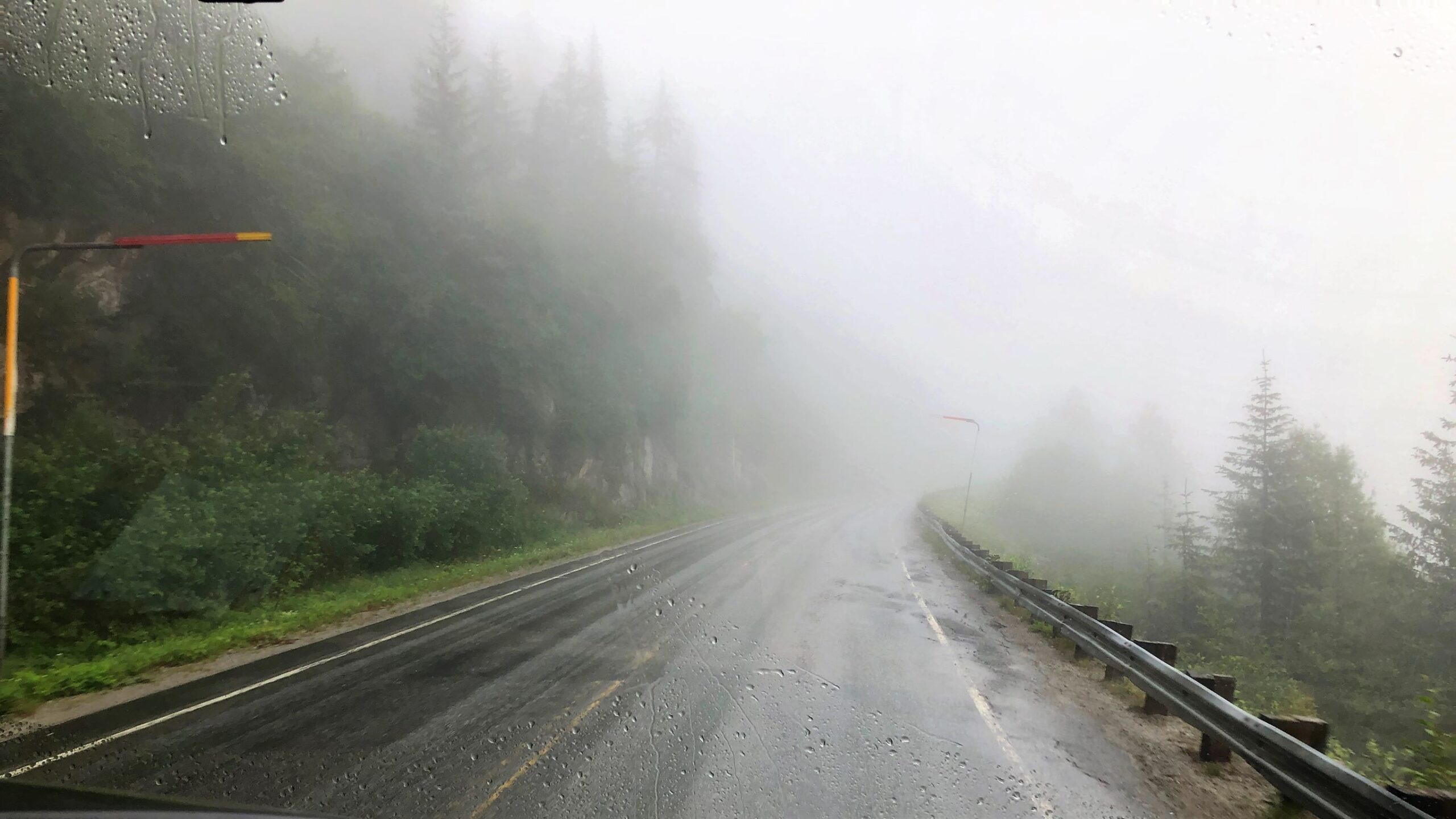
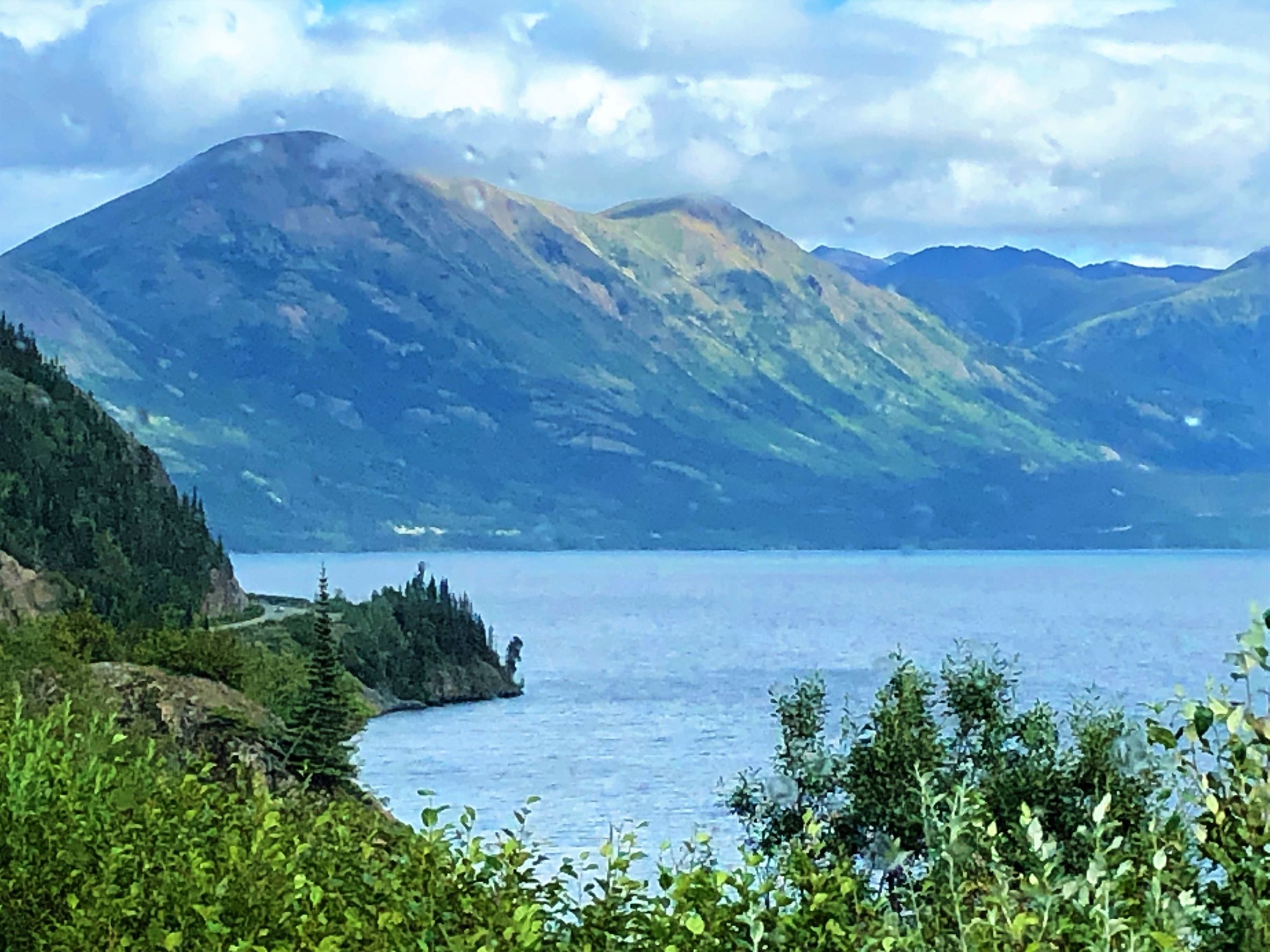
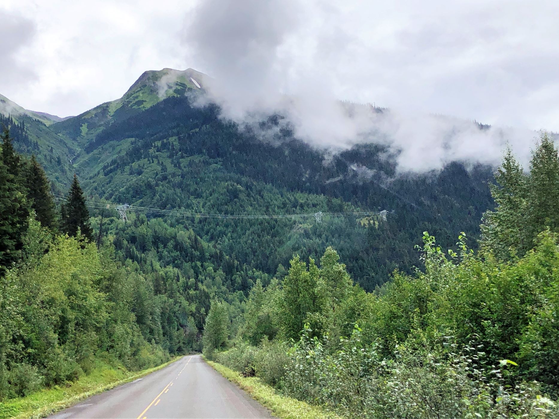
Downtown Skagway has an elevation of 45 feet; the elevation at the summit is 3292 and in 14 miles, we were there! It continued to be foggy for a while and we crossed the border into Canada.
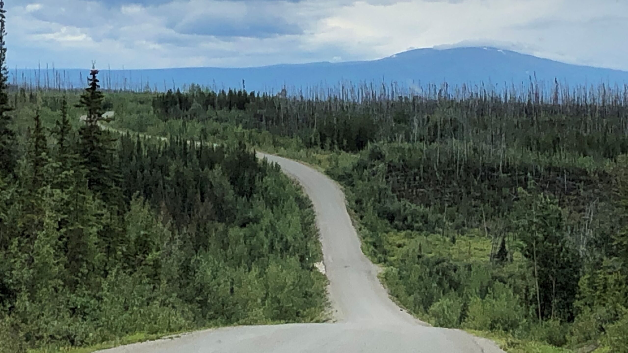
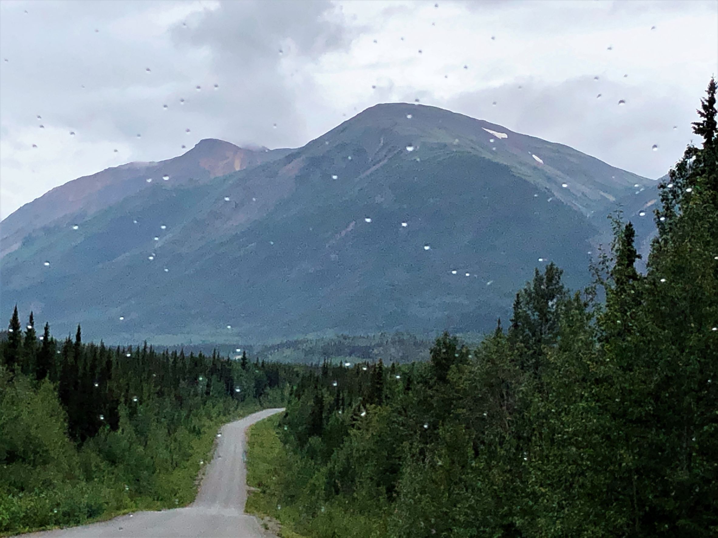
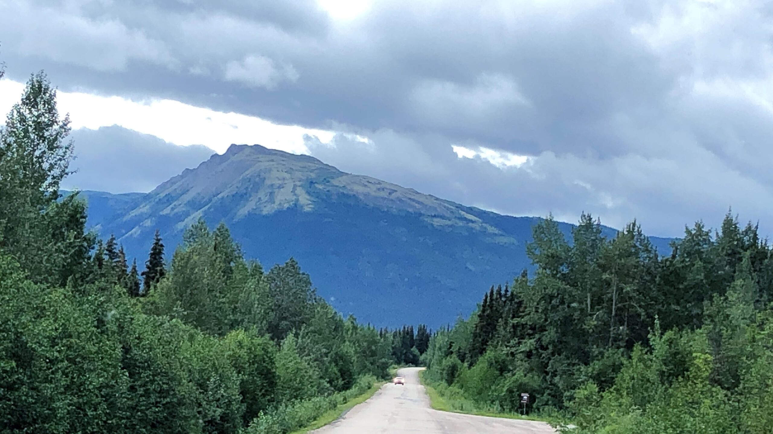
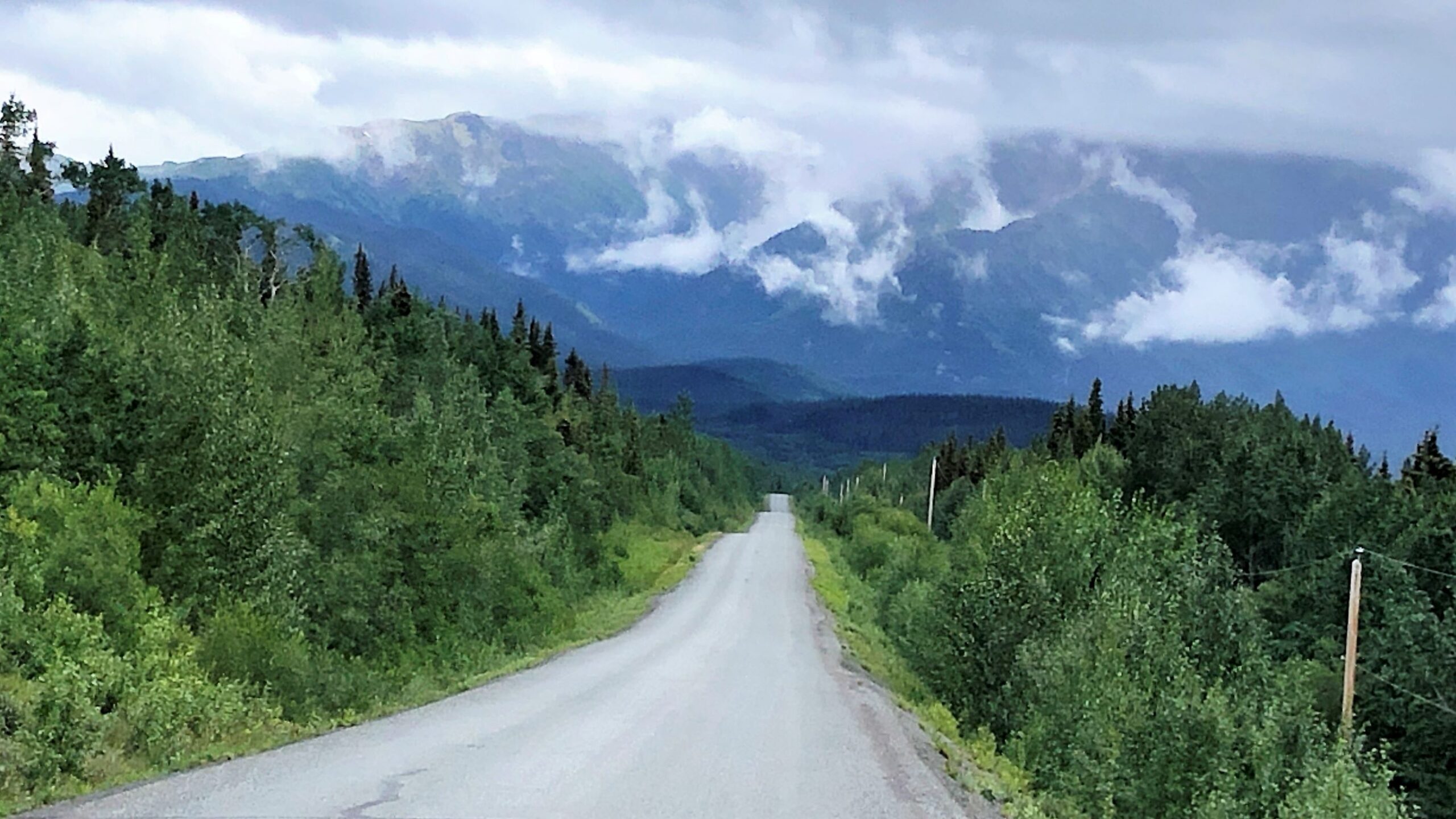
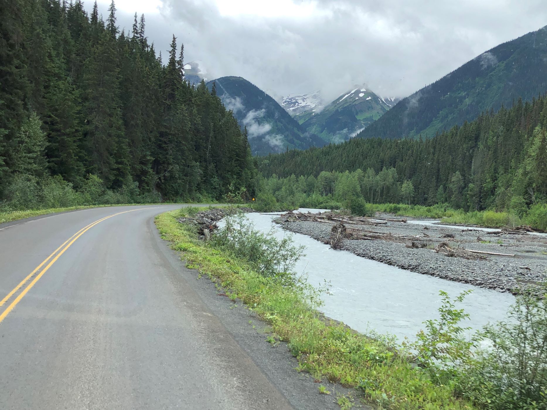
We got out of the fog, but not the drizzle, so please excuse the raindrops on these photos!
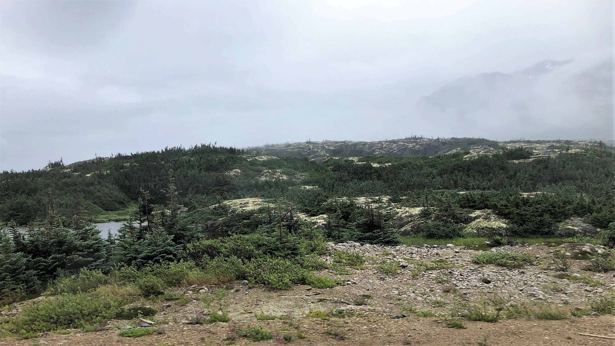
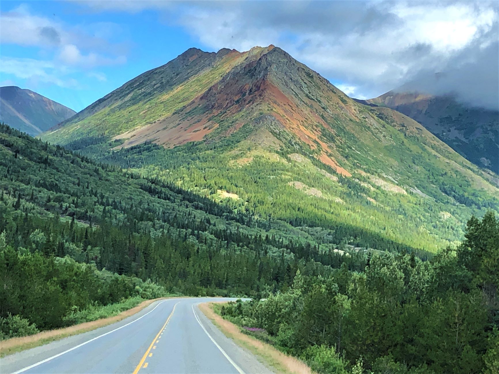
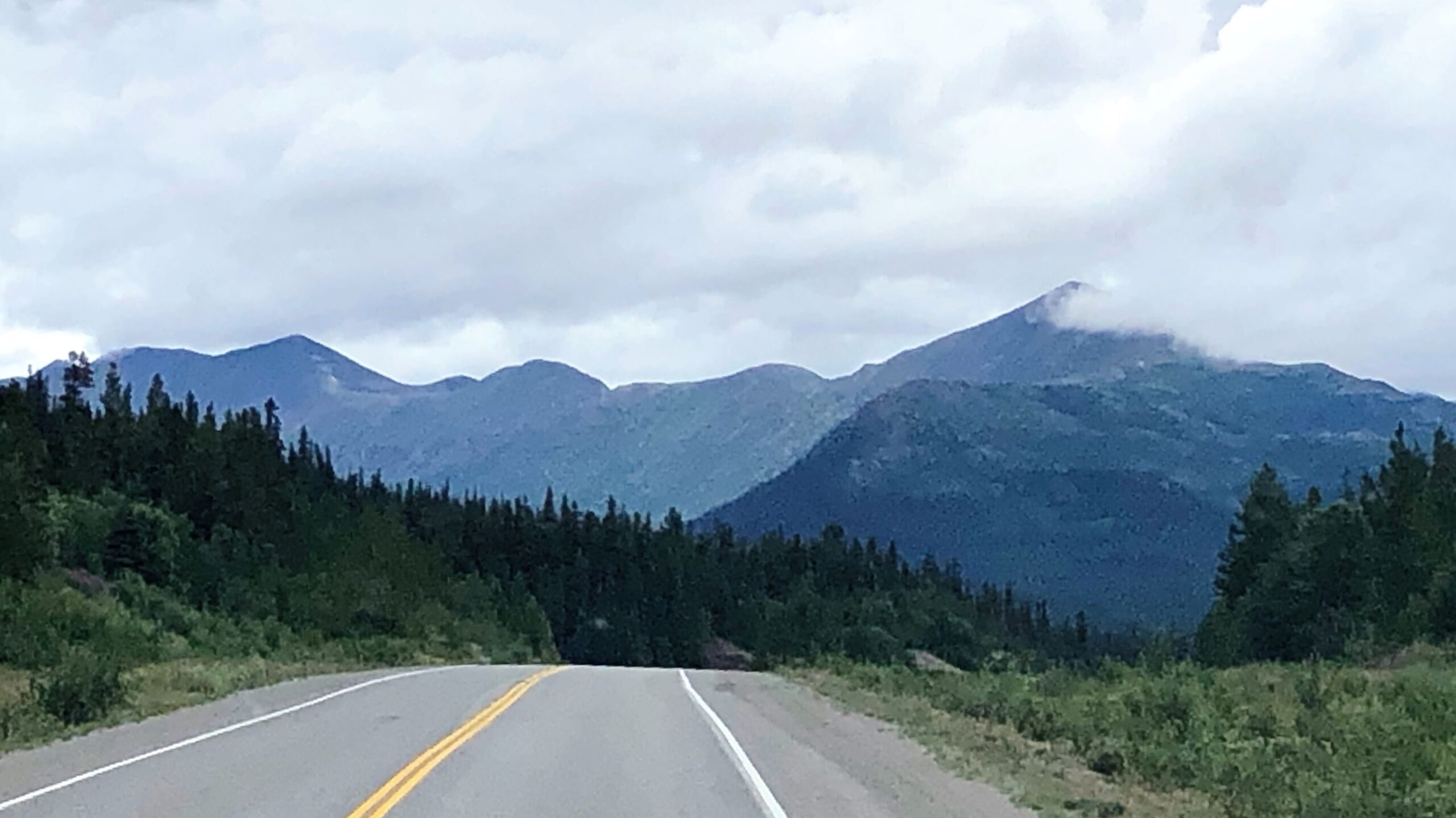
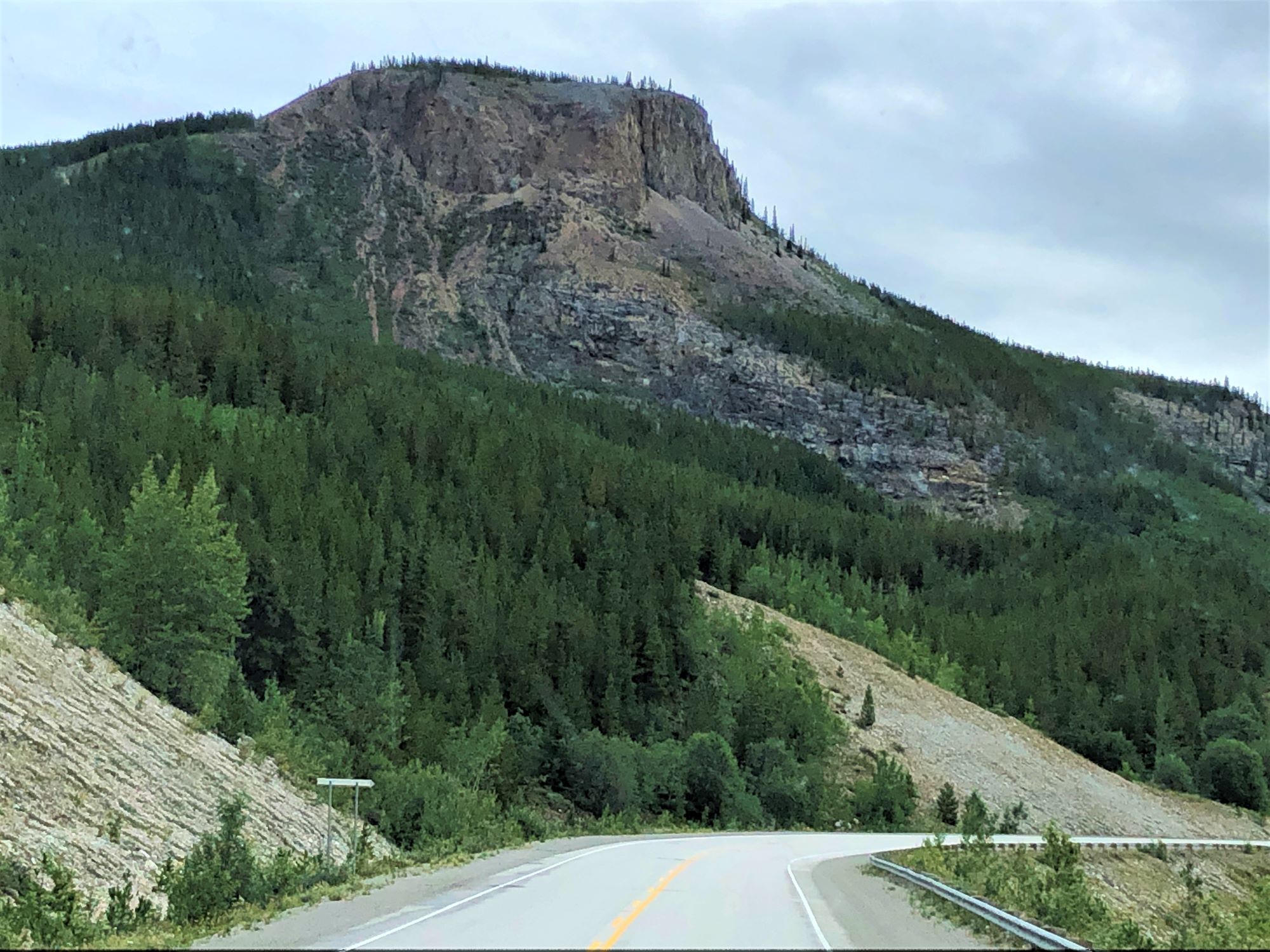
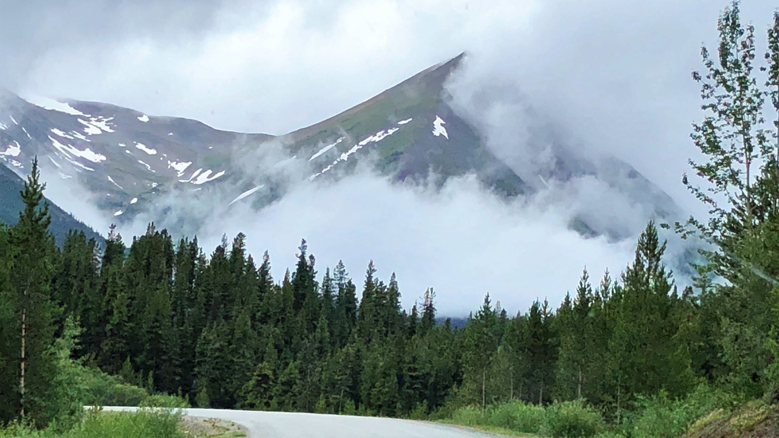
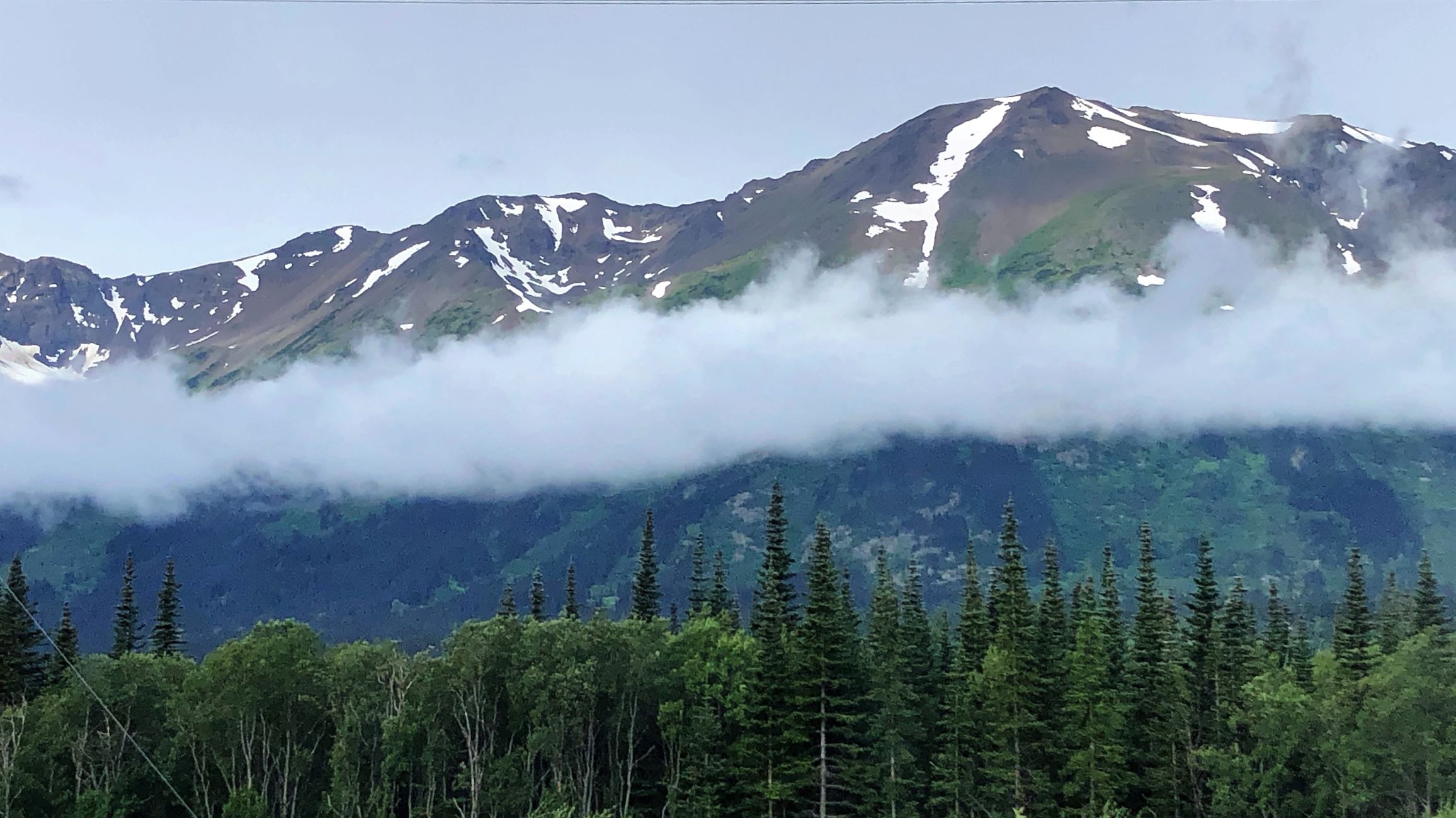
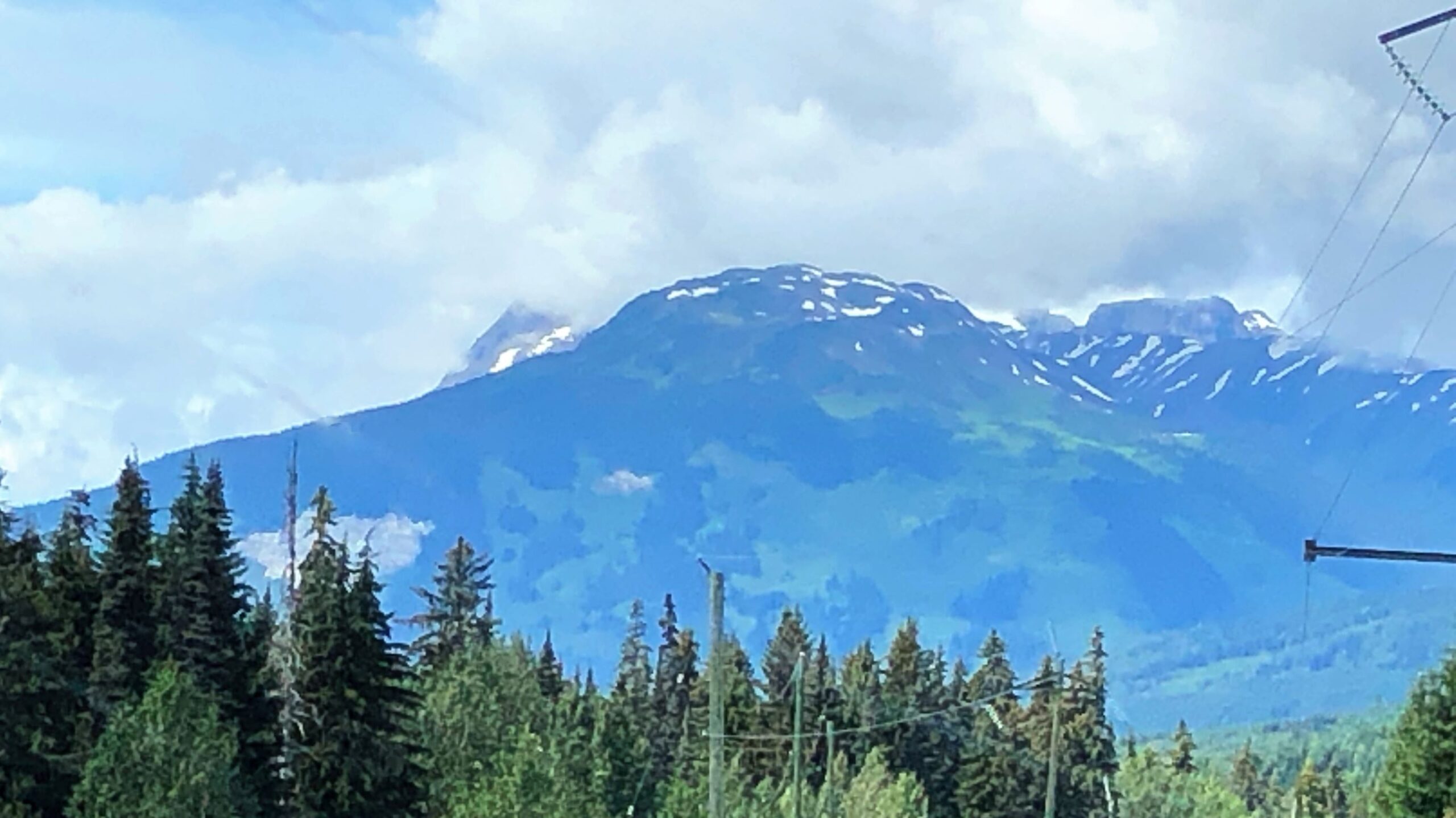
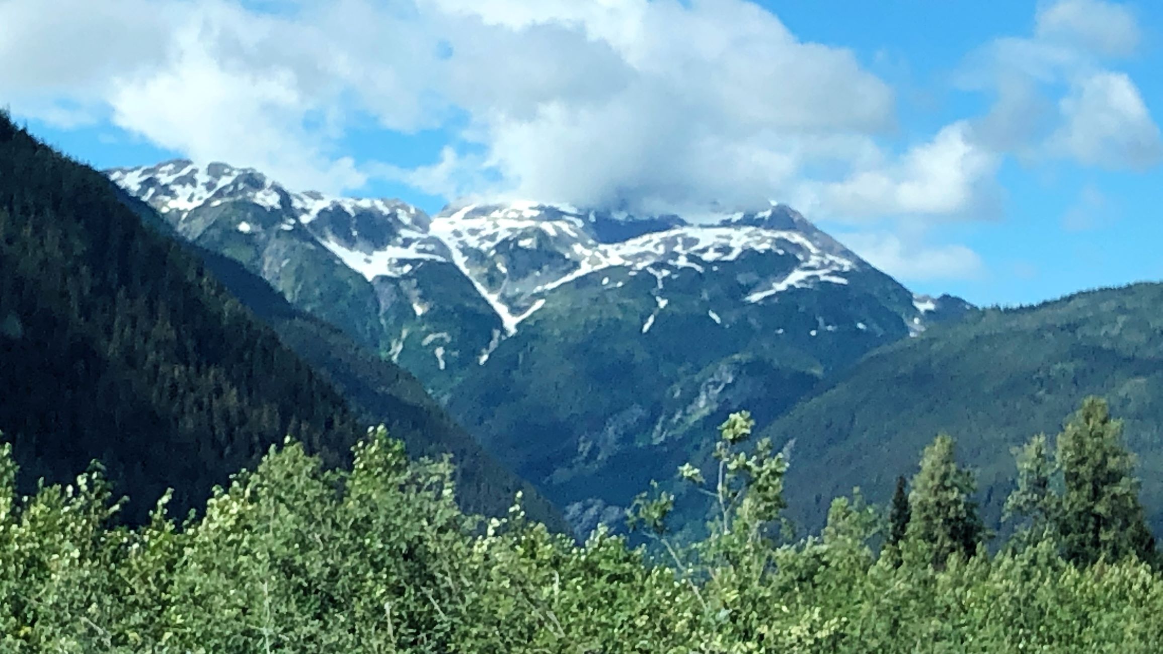
Beautiful “painted” mountains!

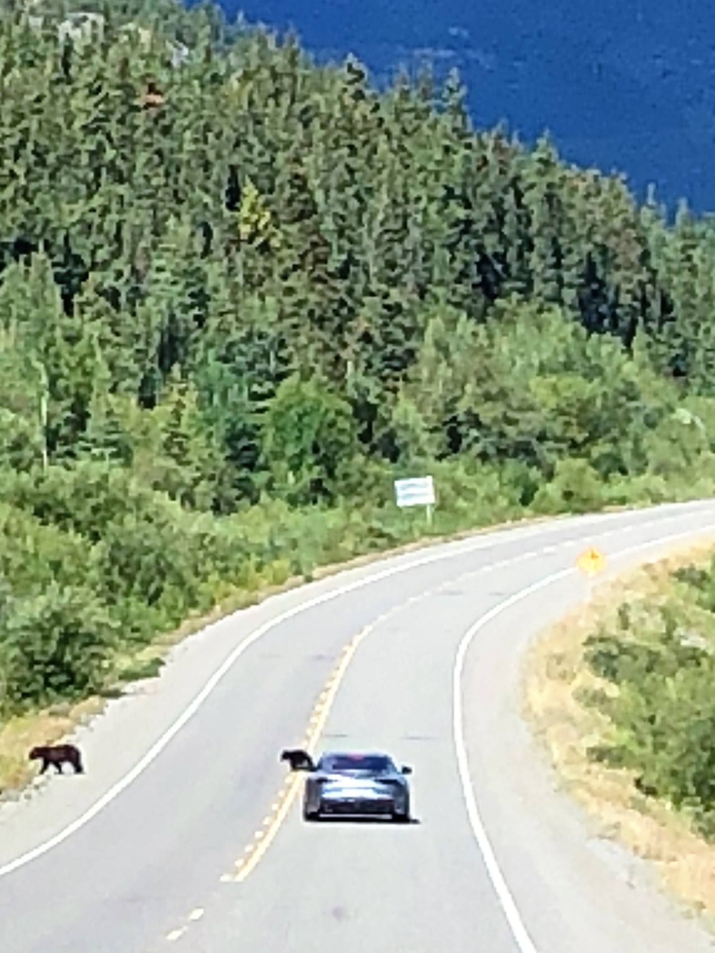
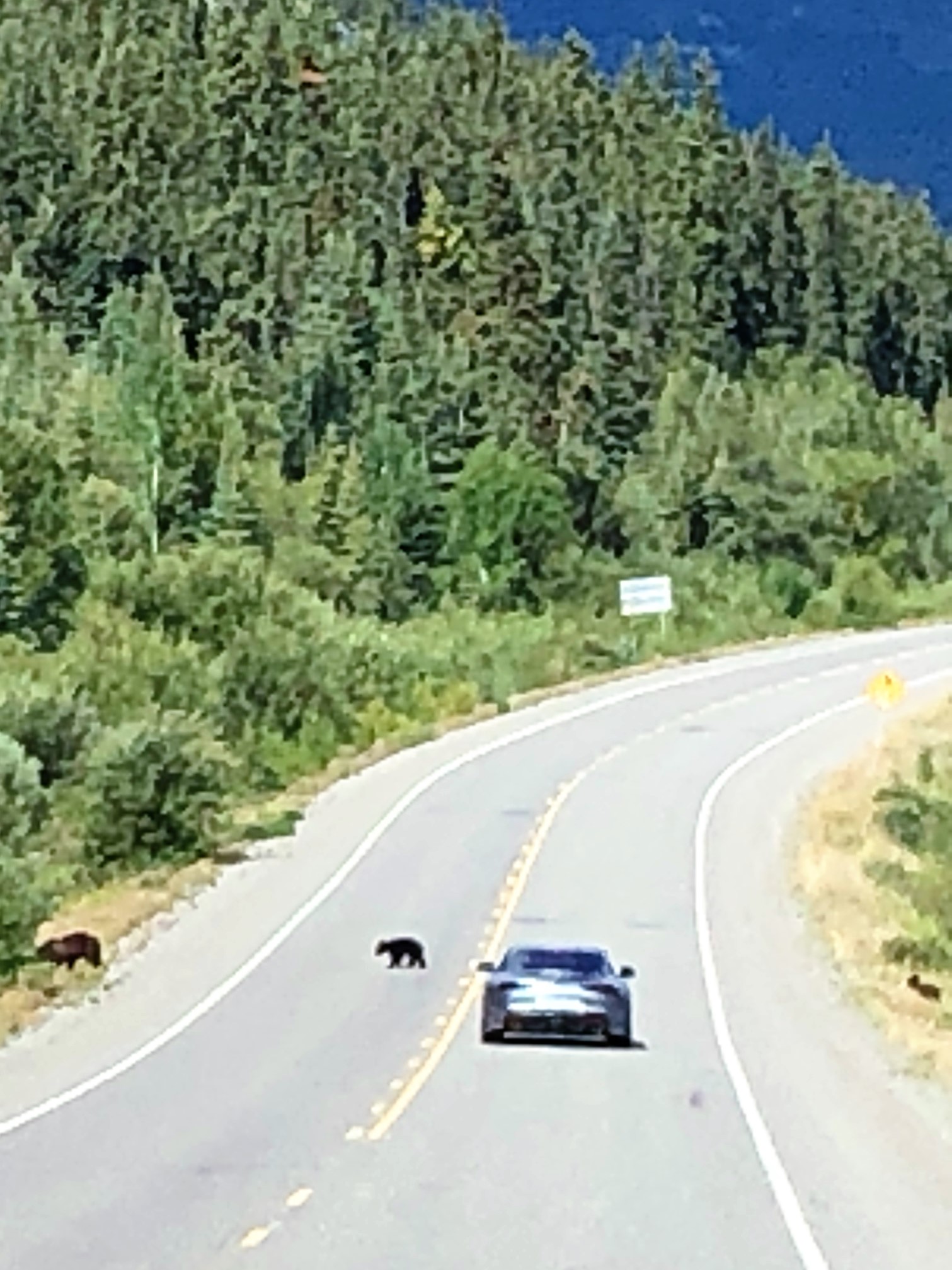
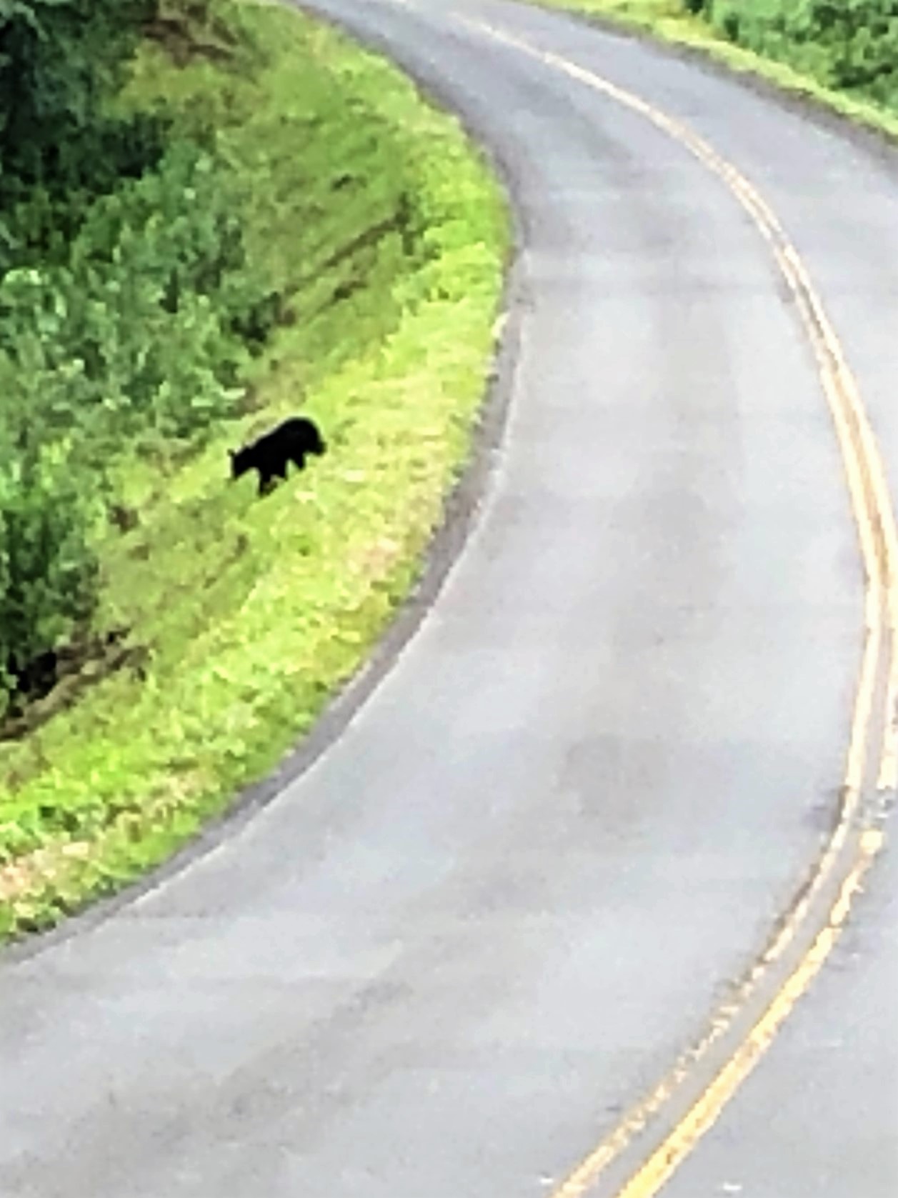
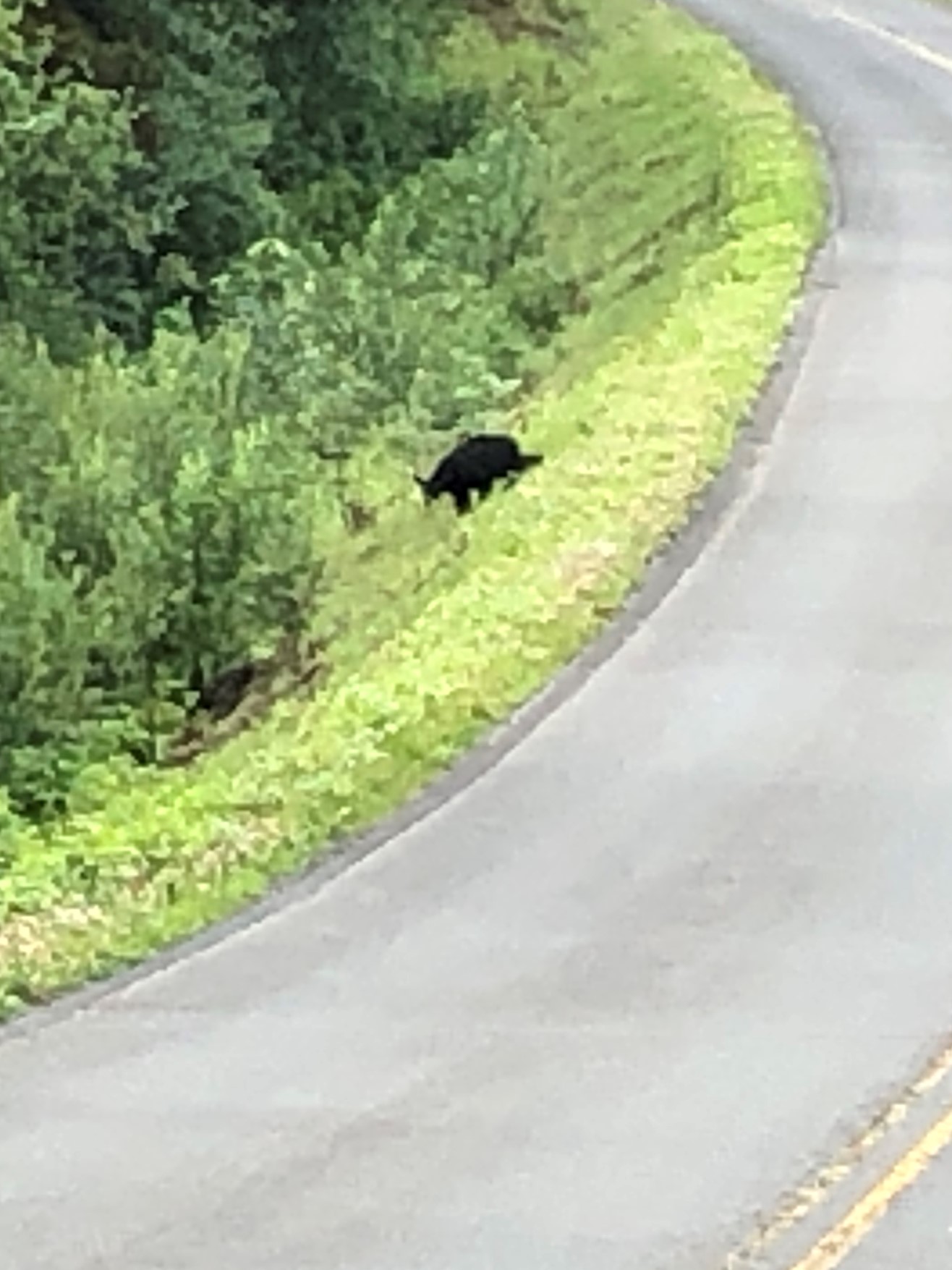
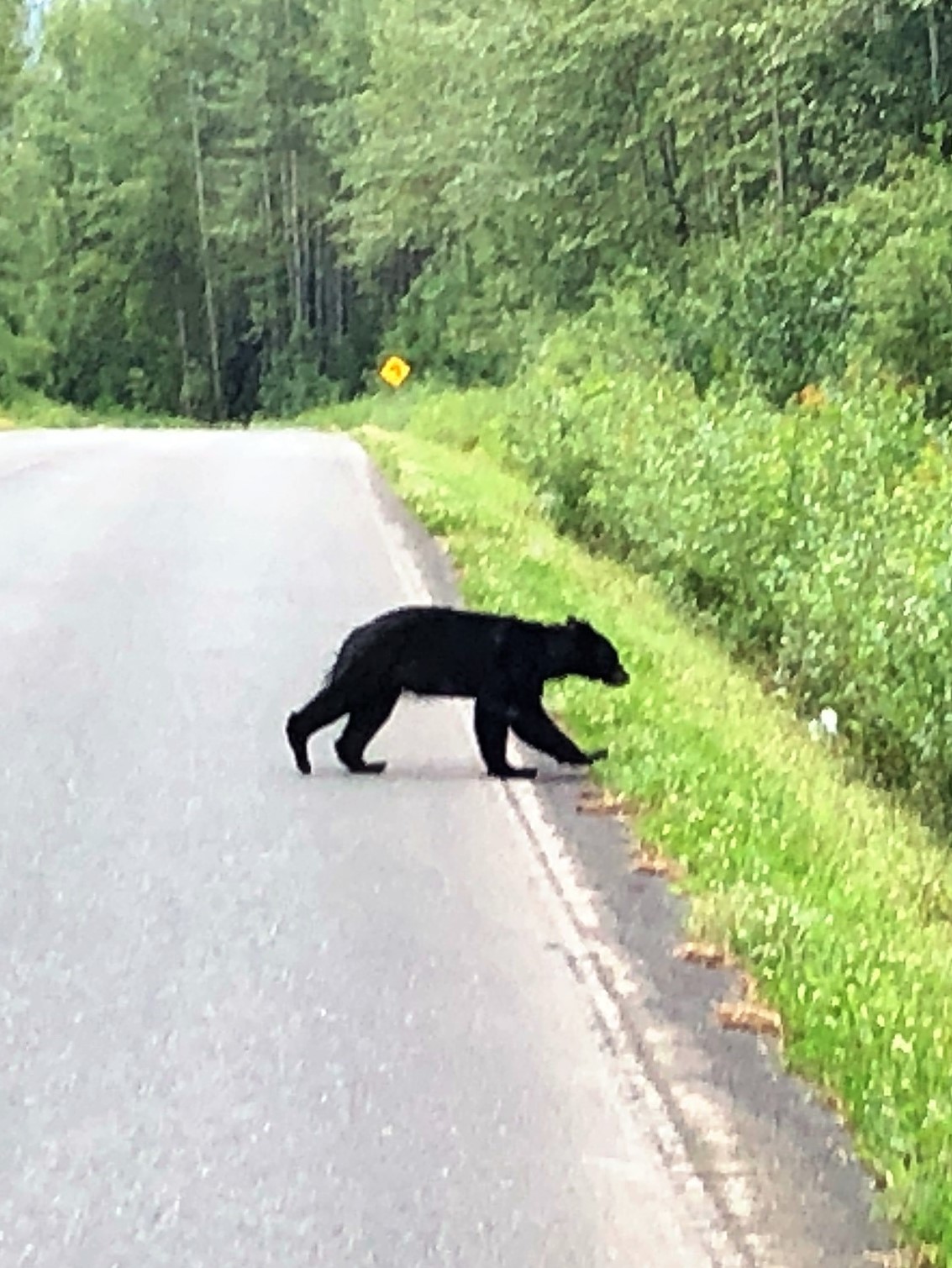
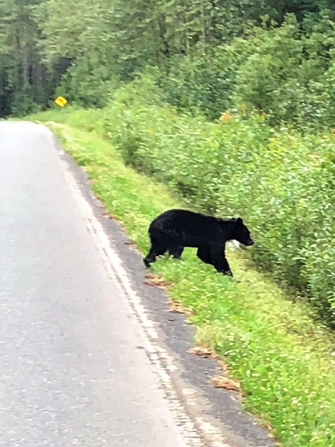
The rain stopped and we saw some bears crossing the road! Looked like a mama bear and 2 cubs!
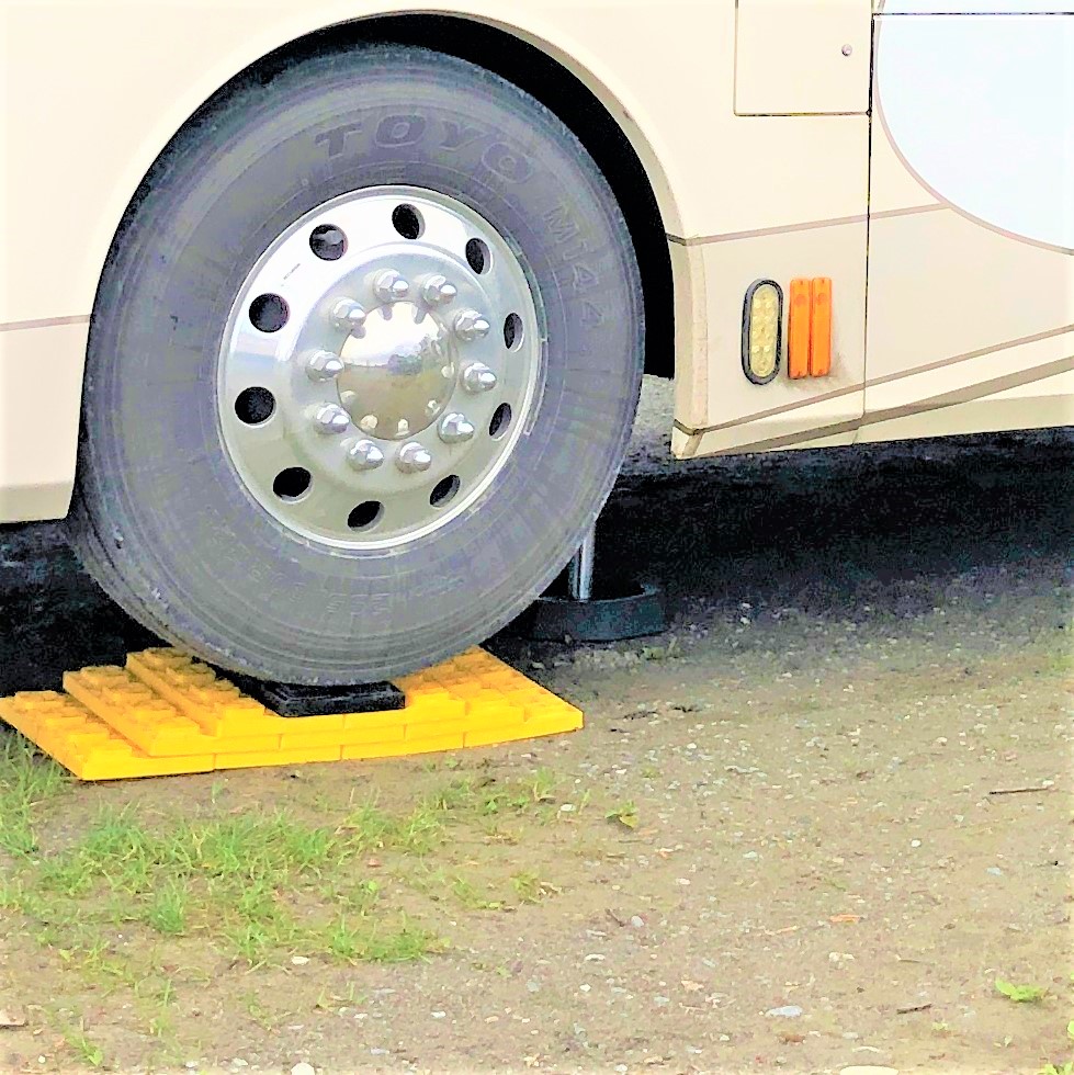
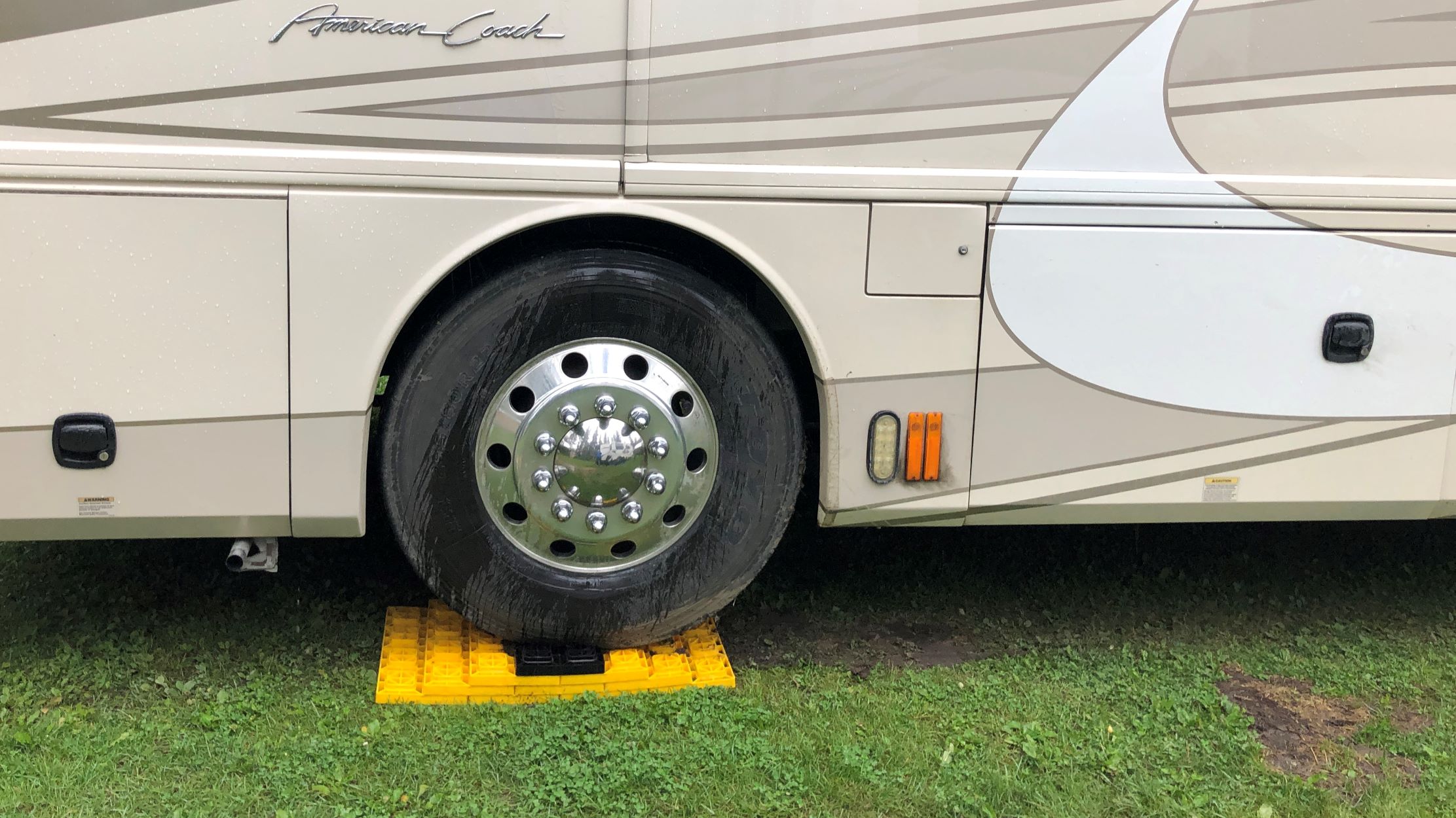
We arrived at 2:45 in Teslin, YT at the Yukon Motel Lakeside Resort. As we leveled Acey, the front wheels were off the ground! Jim took the jacks up and we put the leveling pads in front of both front wheels and drove forward to park on them.

You can see one of the 4 leveling jacks behind the front wheel here.
We were out of milk, and we had no tomato and very little lettuce, so we walked across the street to the Nisutlin Trading Post. Milk was 5.99 for a half gallon, so we passed on that but got a tomato and a big head of romaine lettuce. We made tacos for dinner using canned chicken – it wasn’t too bad!
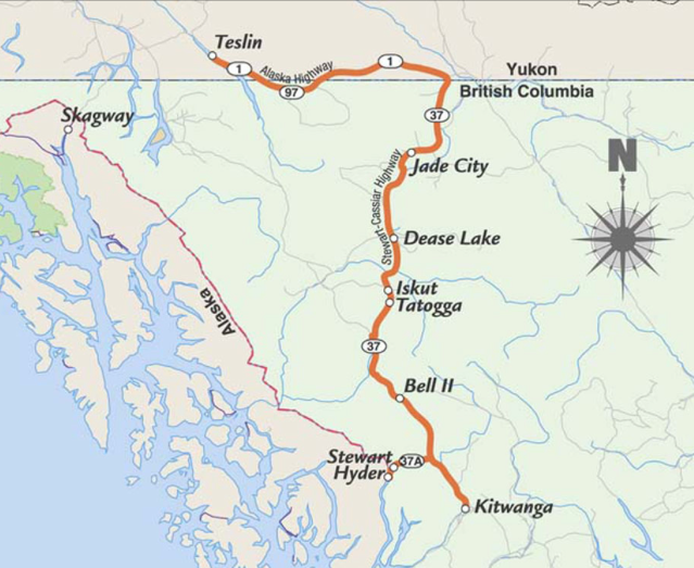
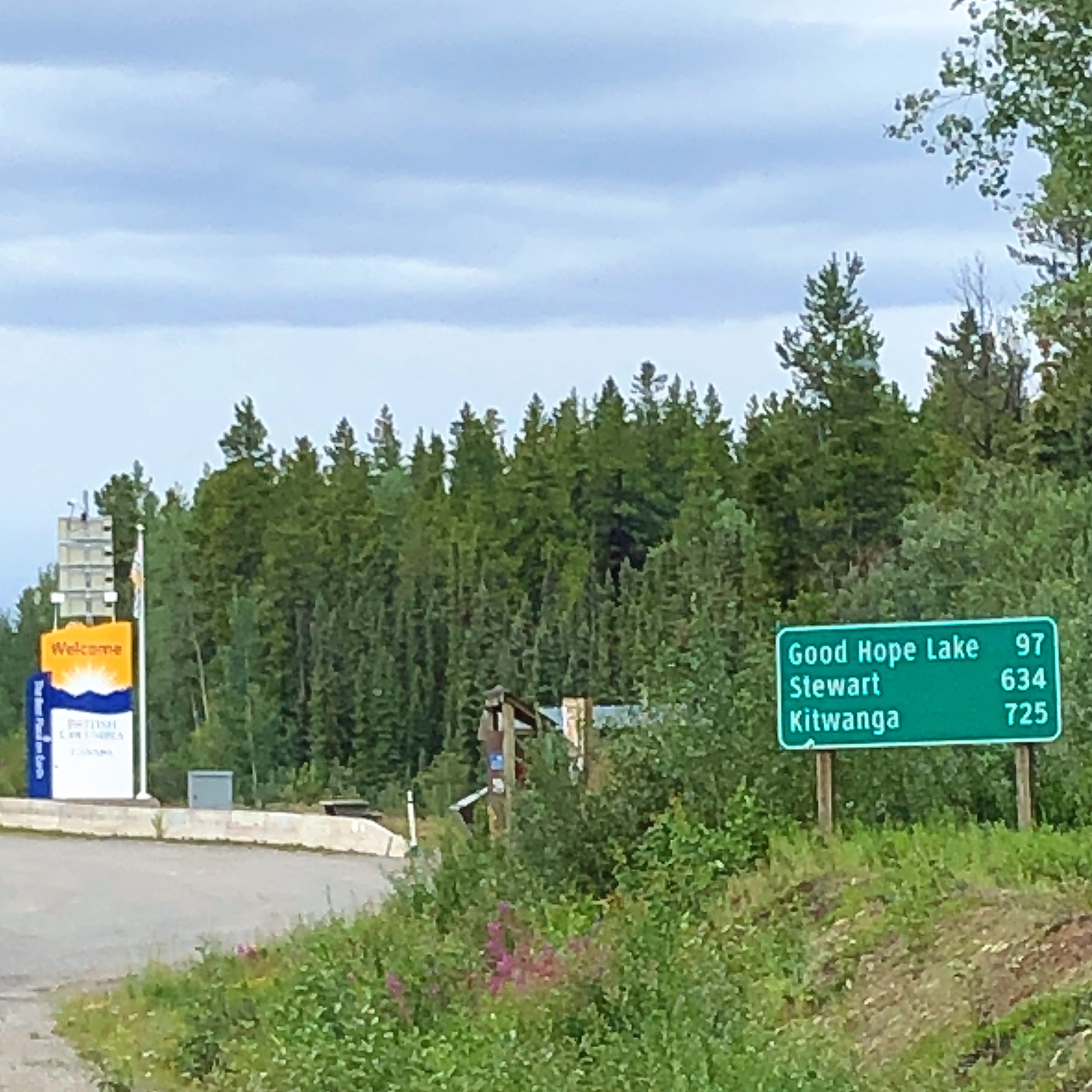
We thought maybe a map of our route would be of interest! As we get on the road tomorrow, here’s a map of our route. We follow the Alcan from Teslin, dipping into BC and back into Yukon before we head south on the Cassiar Highway.
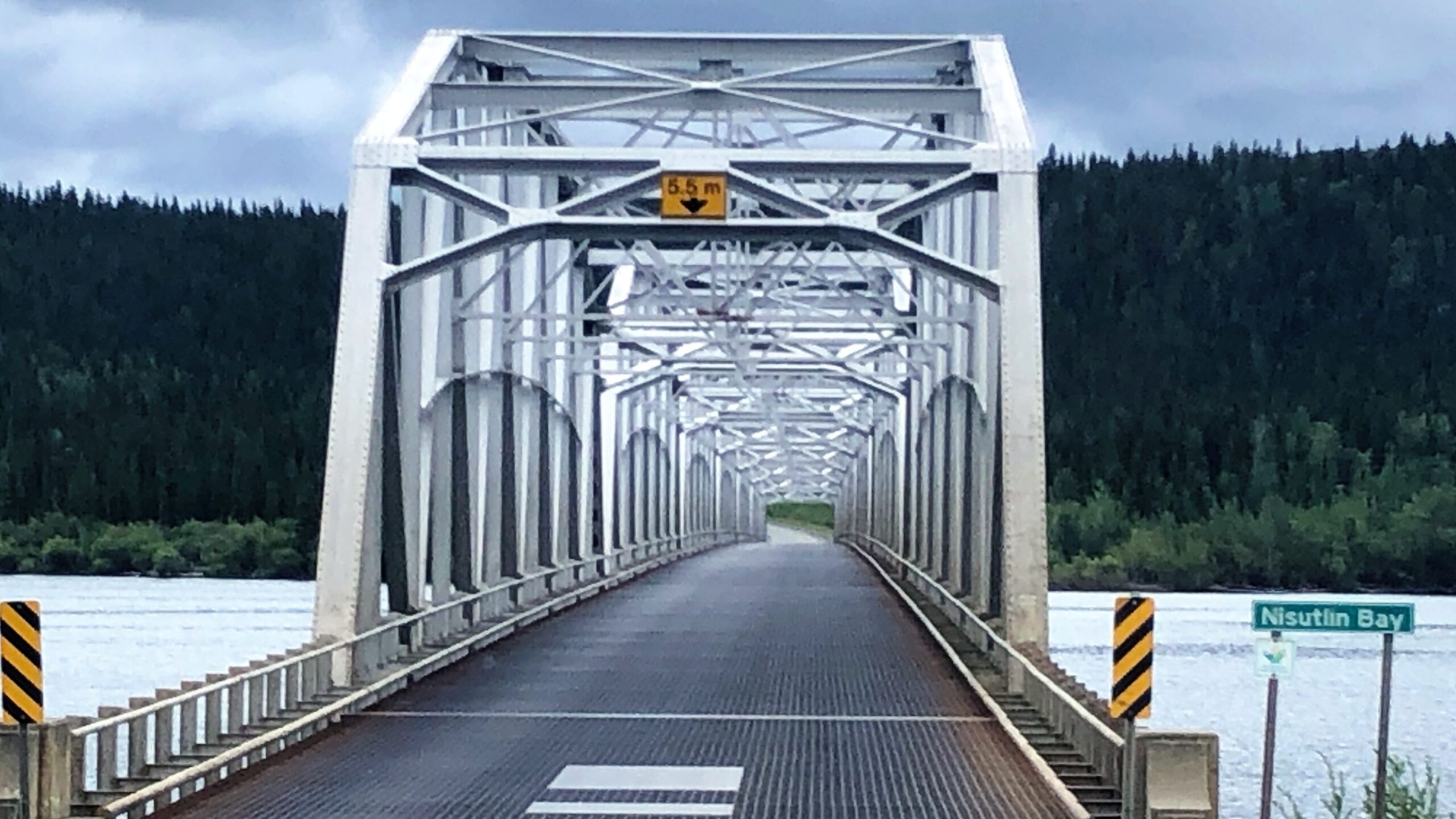
Monday morning, we had breakfast at the motel restaurant – Andrew’s treat! Ryan, Carol & Jerry, Lee (Kimberly wasn’t feeling well), Jim & Linda joined Andrew for a tasty meal that we didn’t have to prepare or clean up! We filled up the tank with 249 liters of diesel and we headed out at 10:00 with Acey’s mileage 90,785.1 and Thor still has 104,925 since we did not have to disconnect. We crossed this pretty bridge as we headed out.
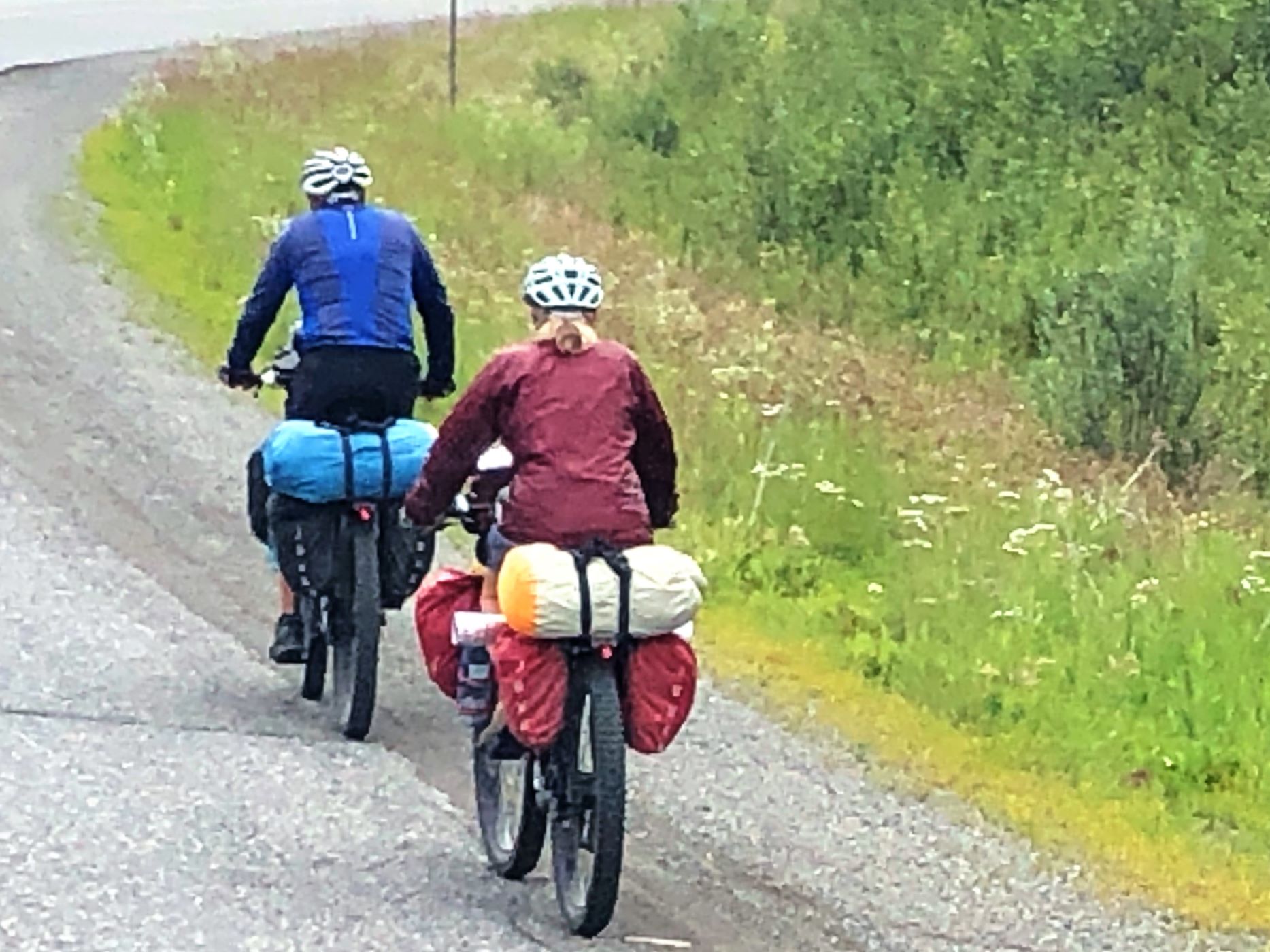
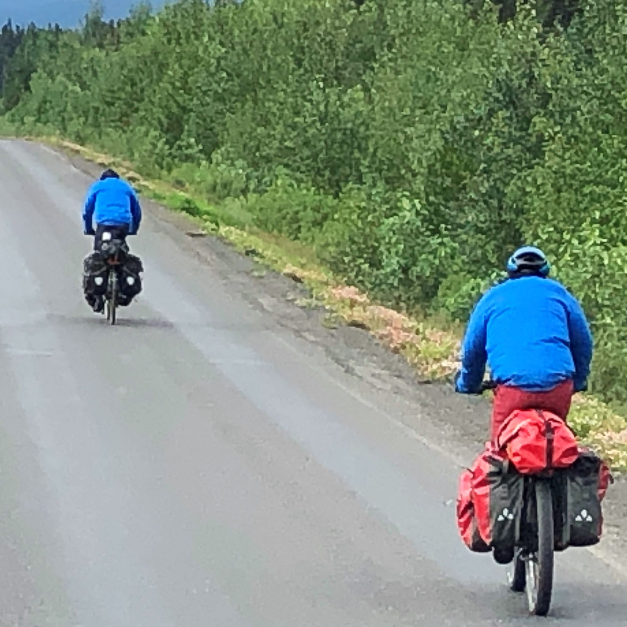
We passed a couple of bicyclists again – it amazes us how many folks ride bikes to Alaska – or wherever they are heading with all that gear!
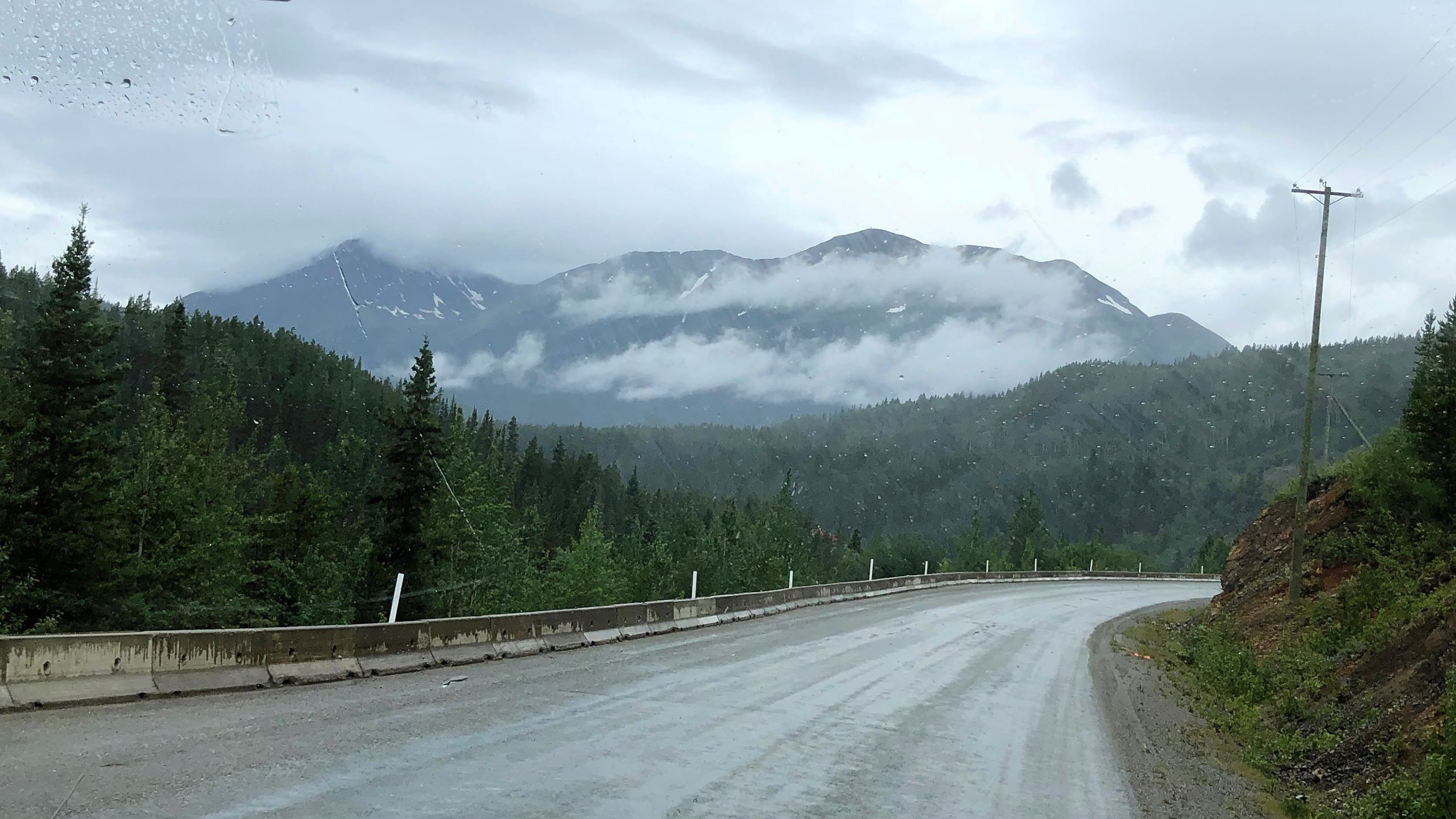
And wouldn’t you know – It began raining! The road was curvy and hilly, but in fairly good condition.
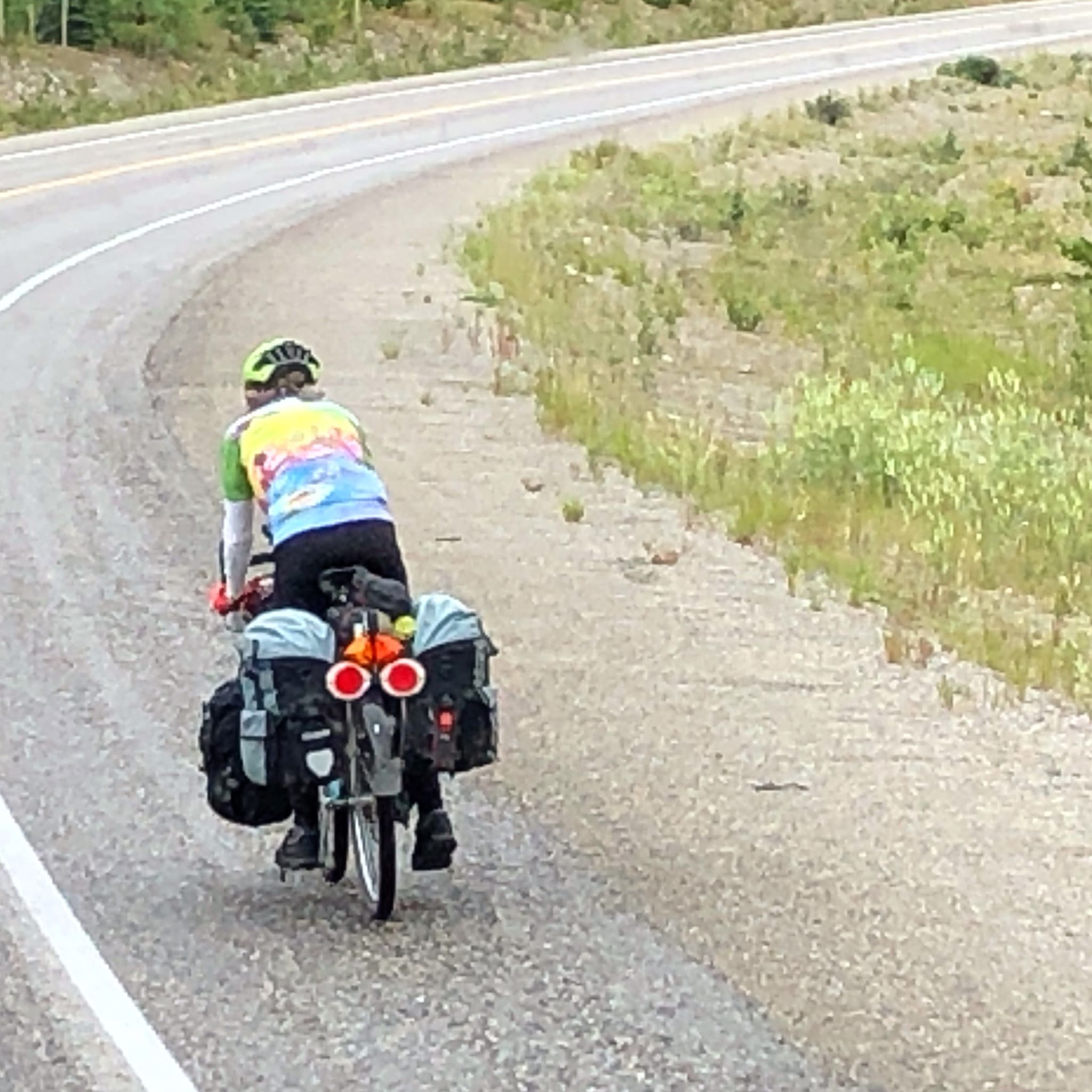
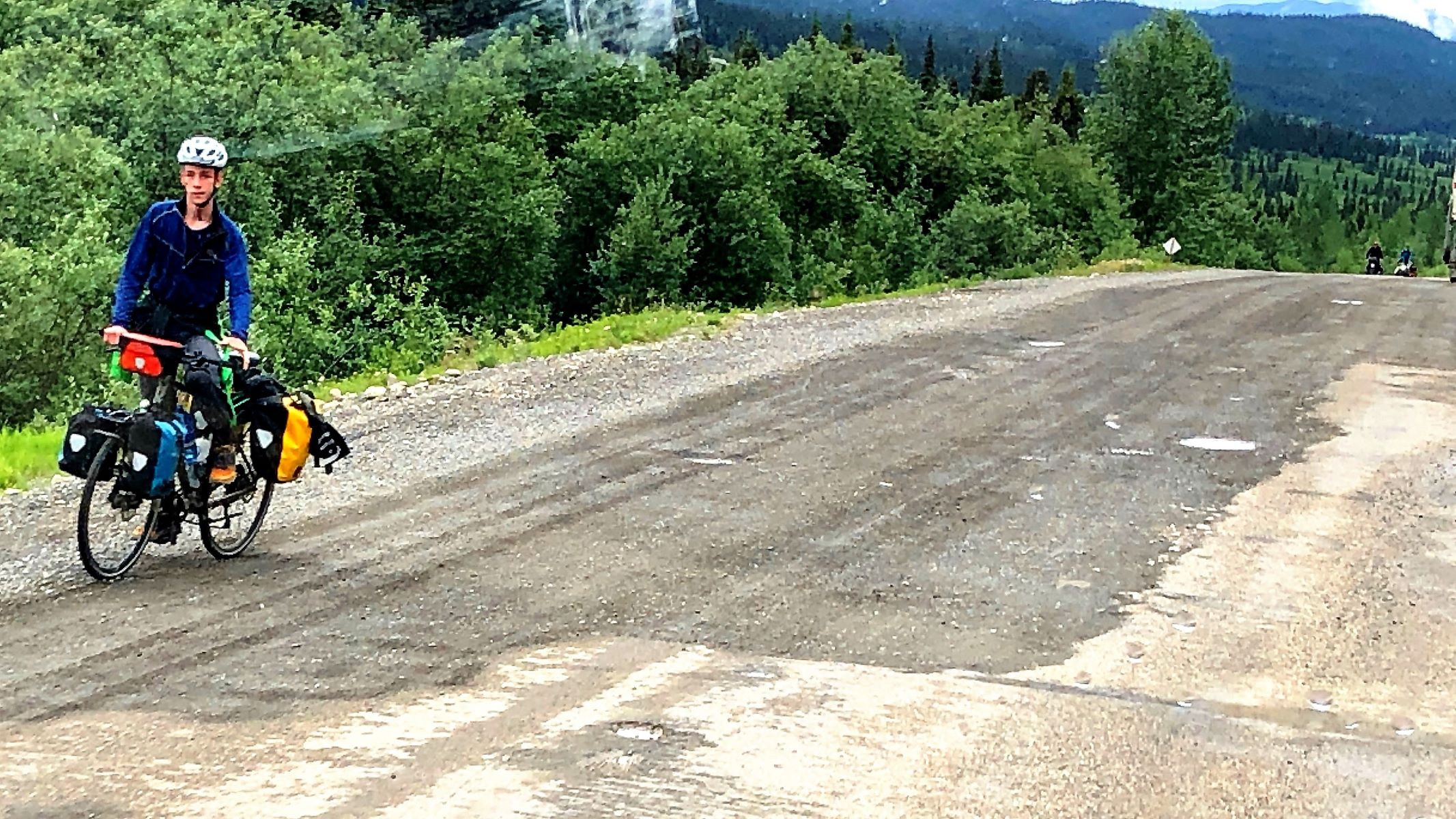
A solo bicyclist – had not seen many biking alone.
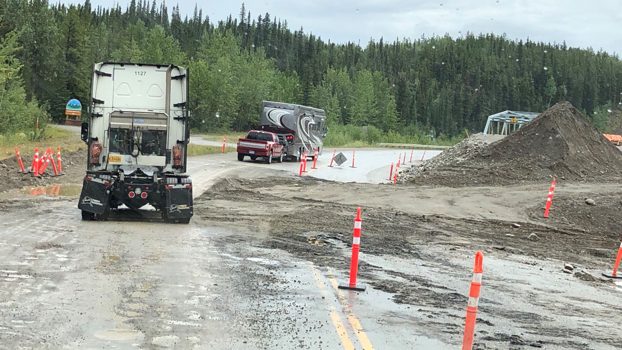
Well, our day would not be complete without going through a construction zone… and in the rain of course!
Another solo bicyclist.
We found out earlier today that we will NOT be staying in Hyder, AK at Camp Run A Muck, but instead we will remain in Canada at Stewart’s Camp Rainey Creek Campground. So Acey won’t get back into the US for a while.
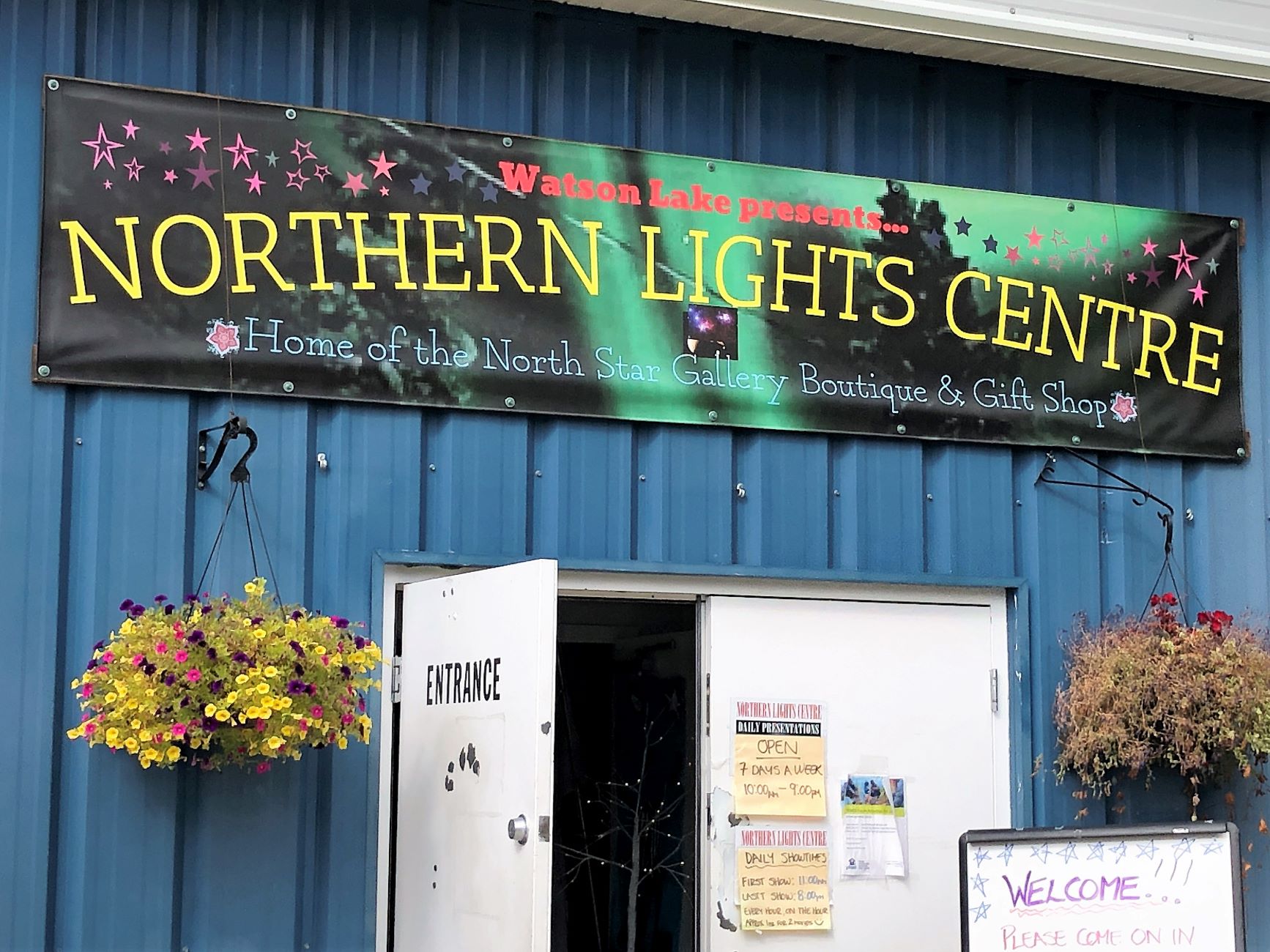
We arrived at Watson Lake TAGS Resort at 1pm. We have full hookups here, so while Jim got us hooked up, Linda got lunch ready and put in a load of laundry. We got a few more groceries since the next few stops may not have much of a selection. We had seen the signpost forest on our last visit, but not the Northern Lights Centre. Since there is NO chance we will see the Northern Lights this time of the year, we thought we’d check it out.
They showed 2 movies in an hour – one on Solar Superstorms and the second about the Aurora. We learned a lot about the Northern Lights! Maybe we will come back to Alaska in the winter when they can be seen. We headed back to Acey to make dinner and get ready to move on again tomorrow. these one-night stops are beginning to wear on us – one more overnight stay and we’ll have 2 nights in Stewart, BC.
Tuesday August 2, it rained a little in the morning as we prepared to leave Watson Lake with 90,946.4 miles on Acey and 104,927 on Thor. It rained off and on as we drove. By 8:45 we were back in British Columbia again.
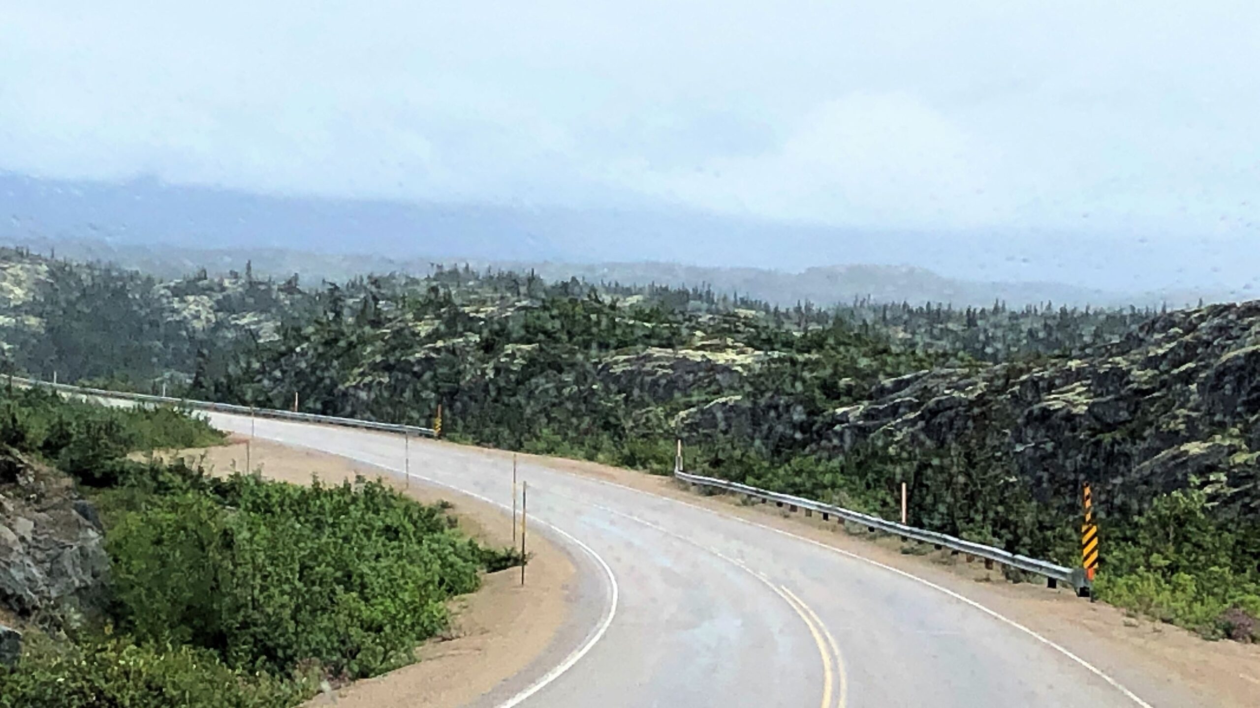
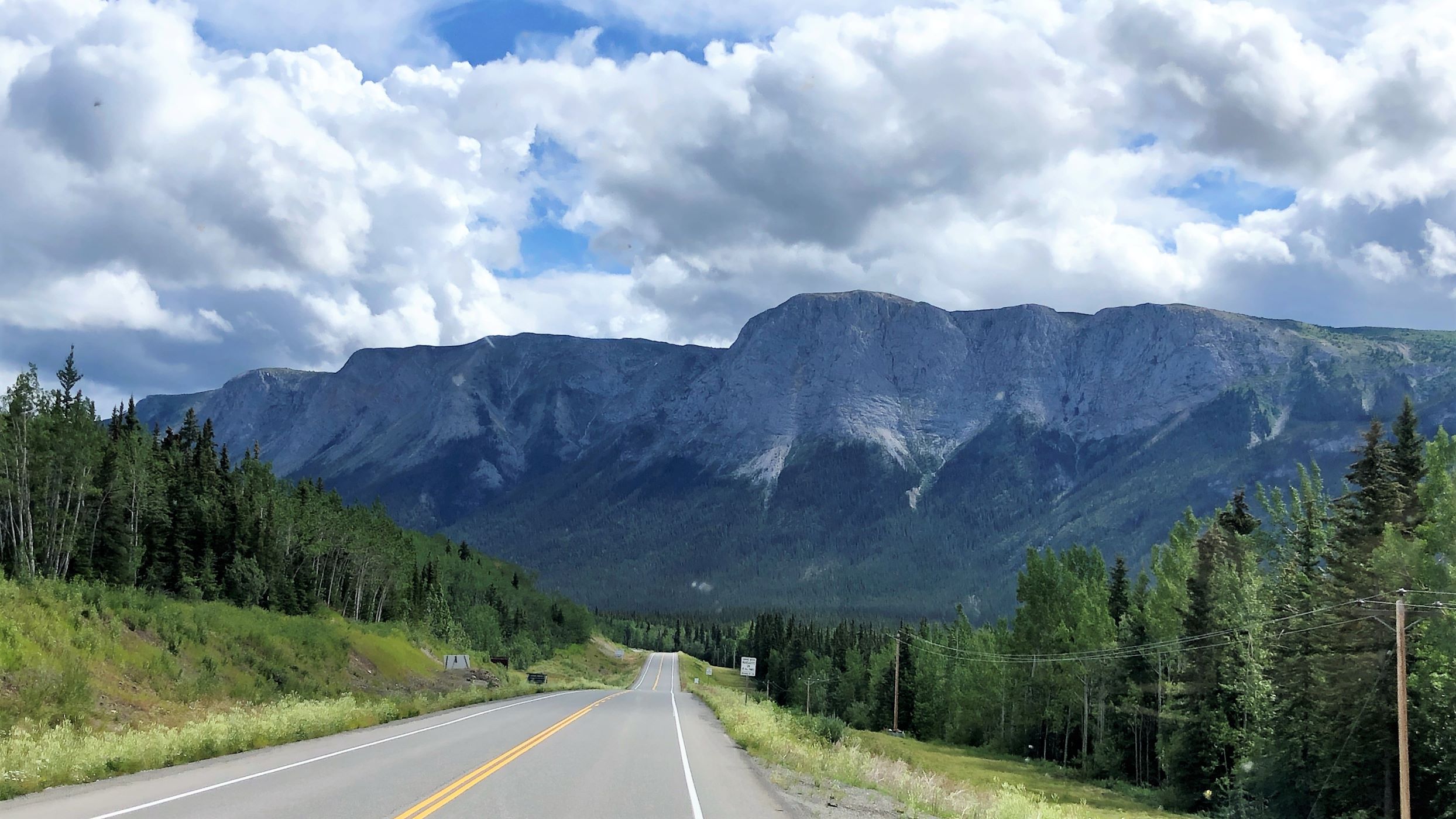
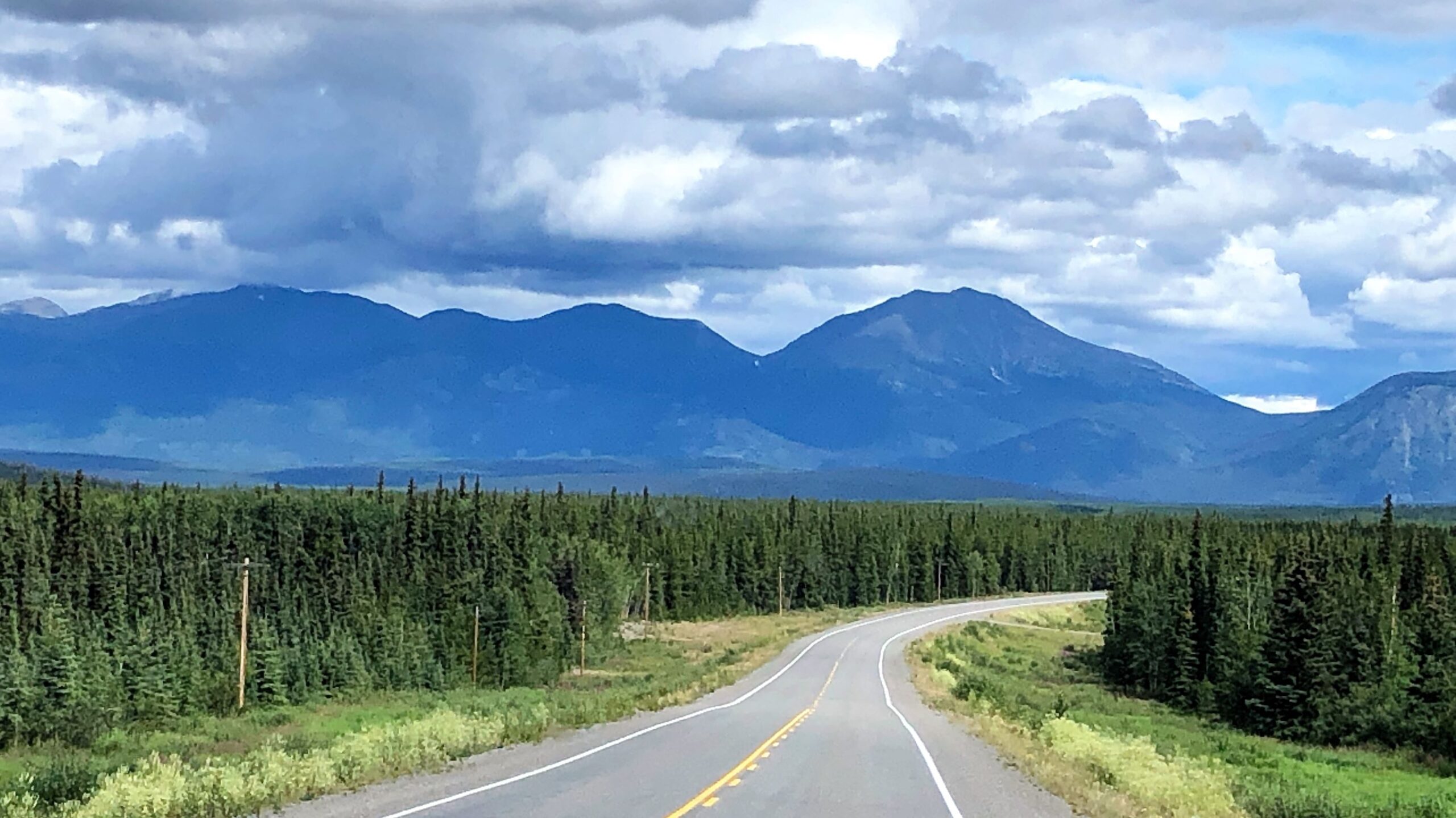
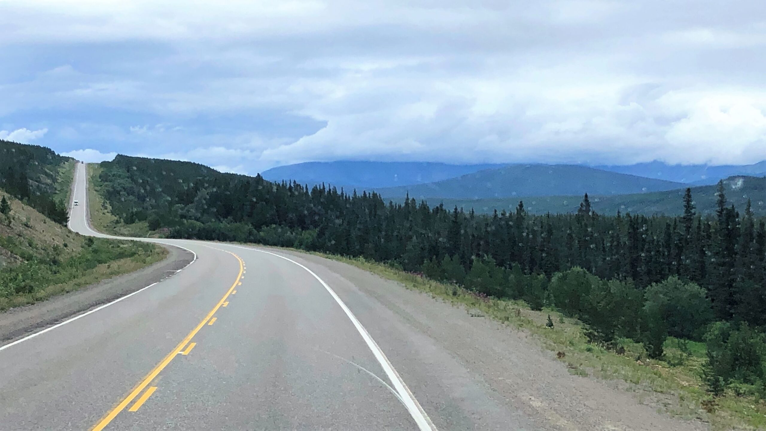
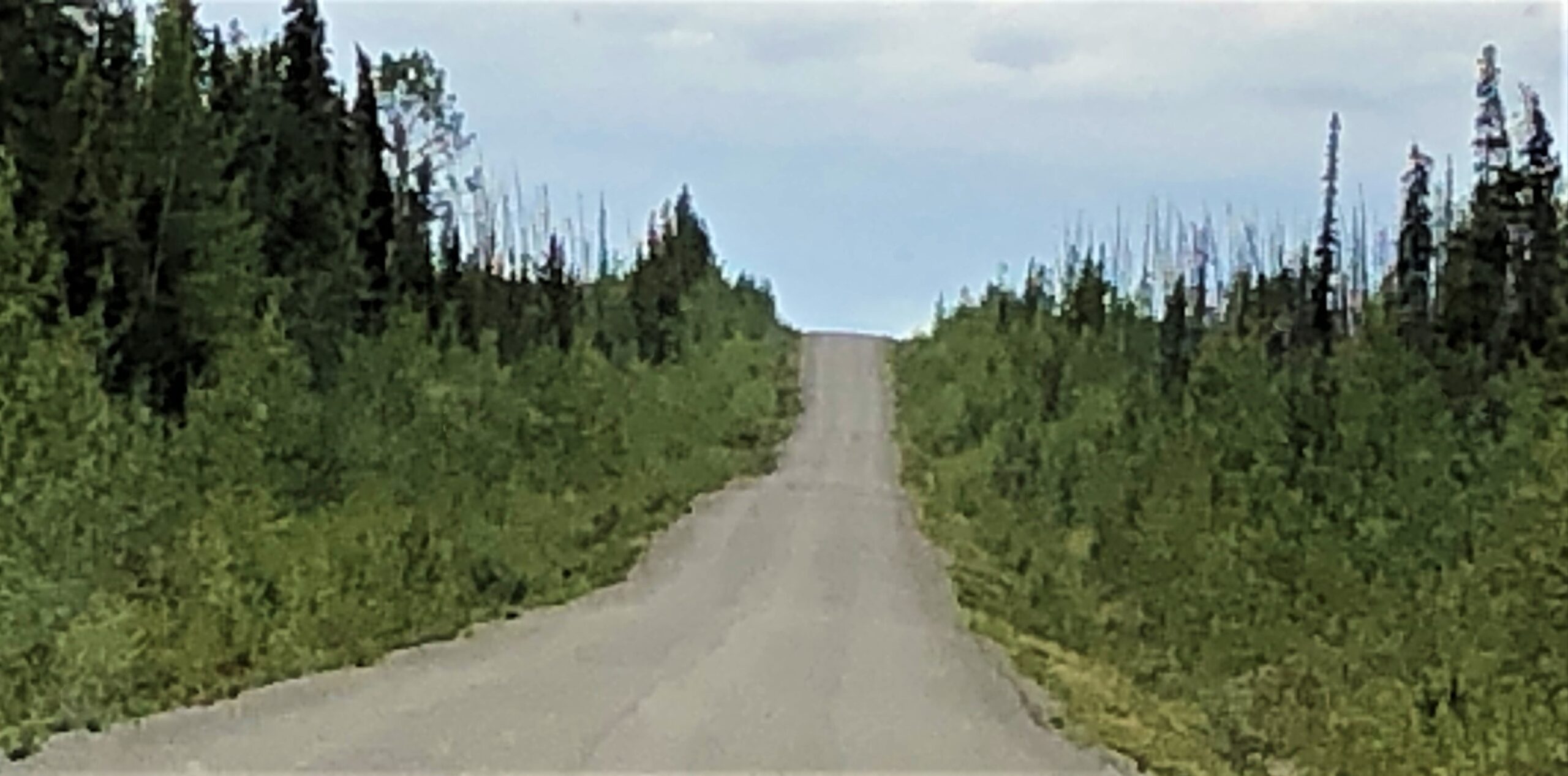
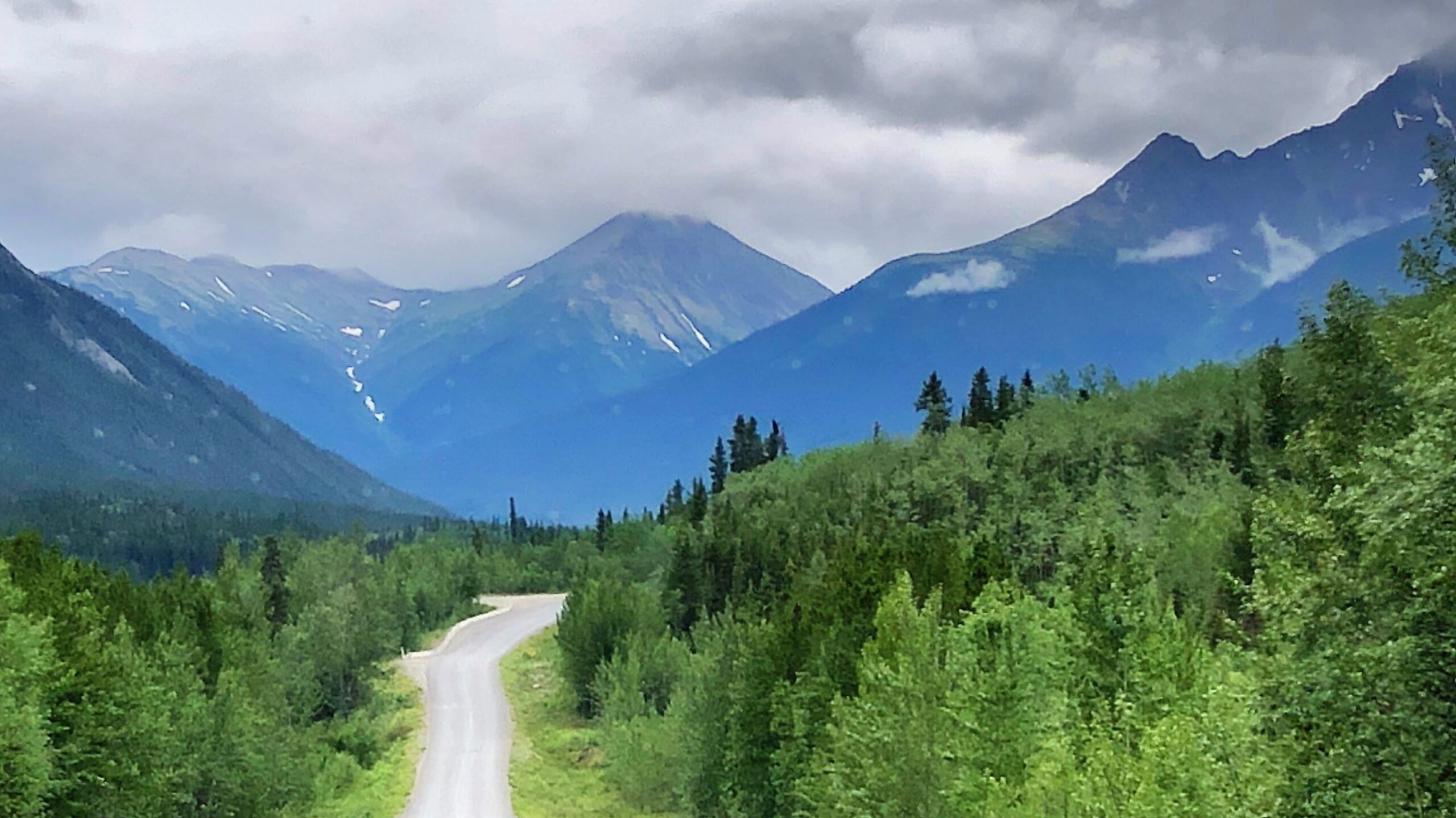
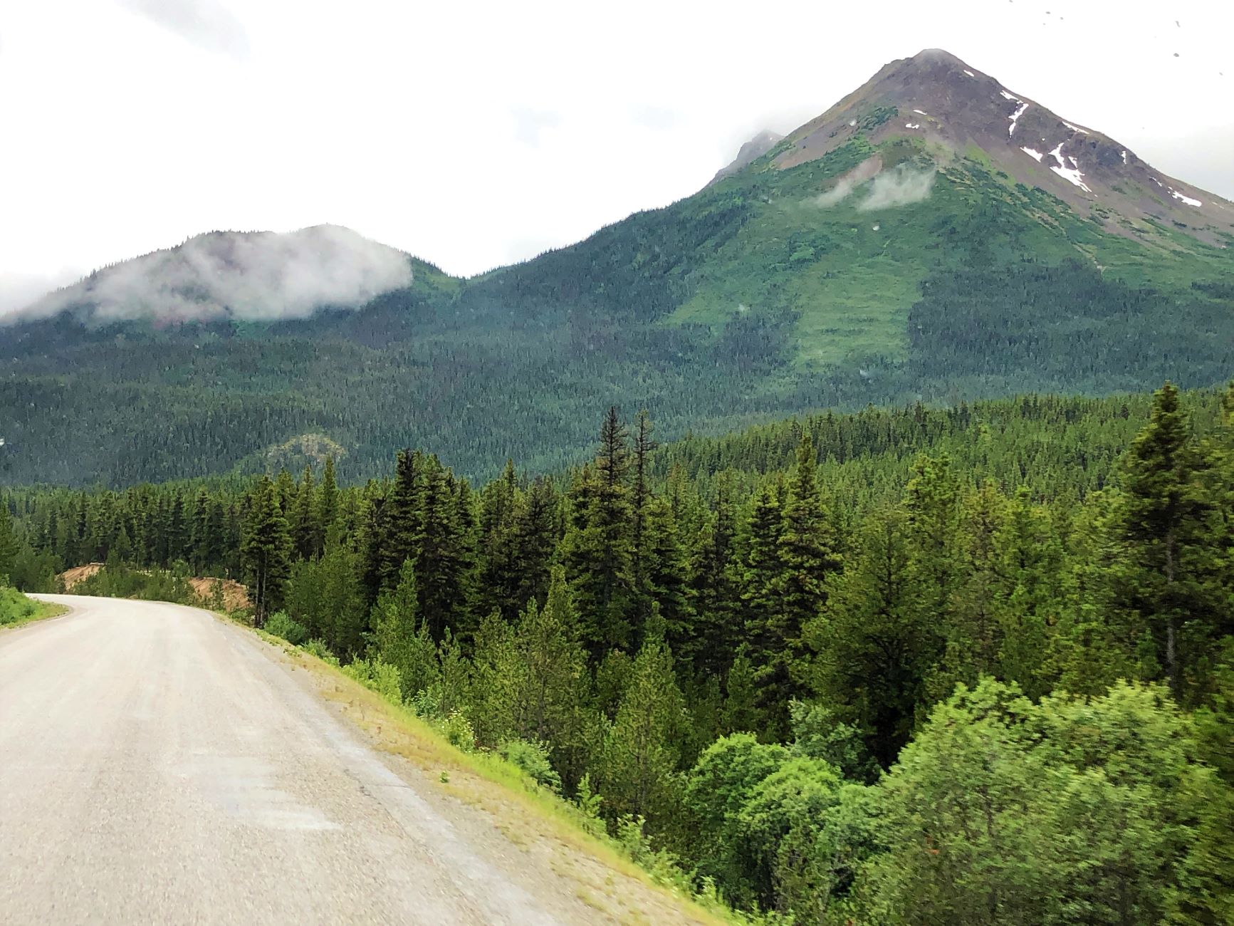
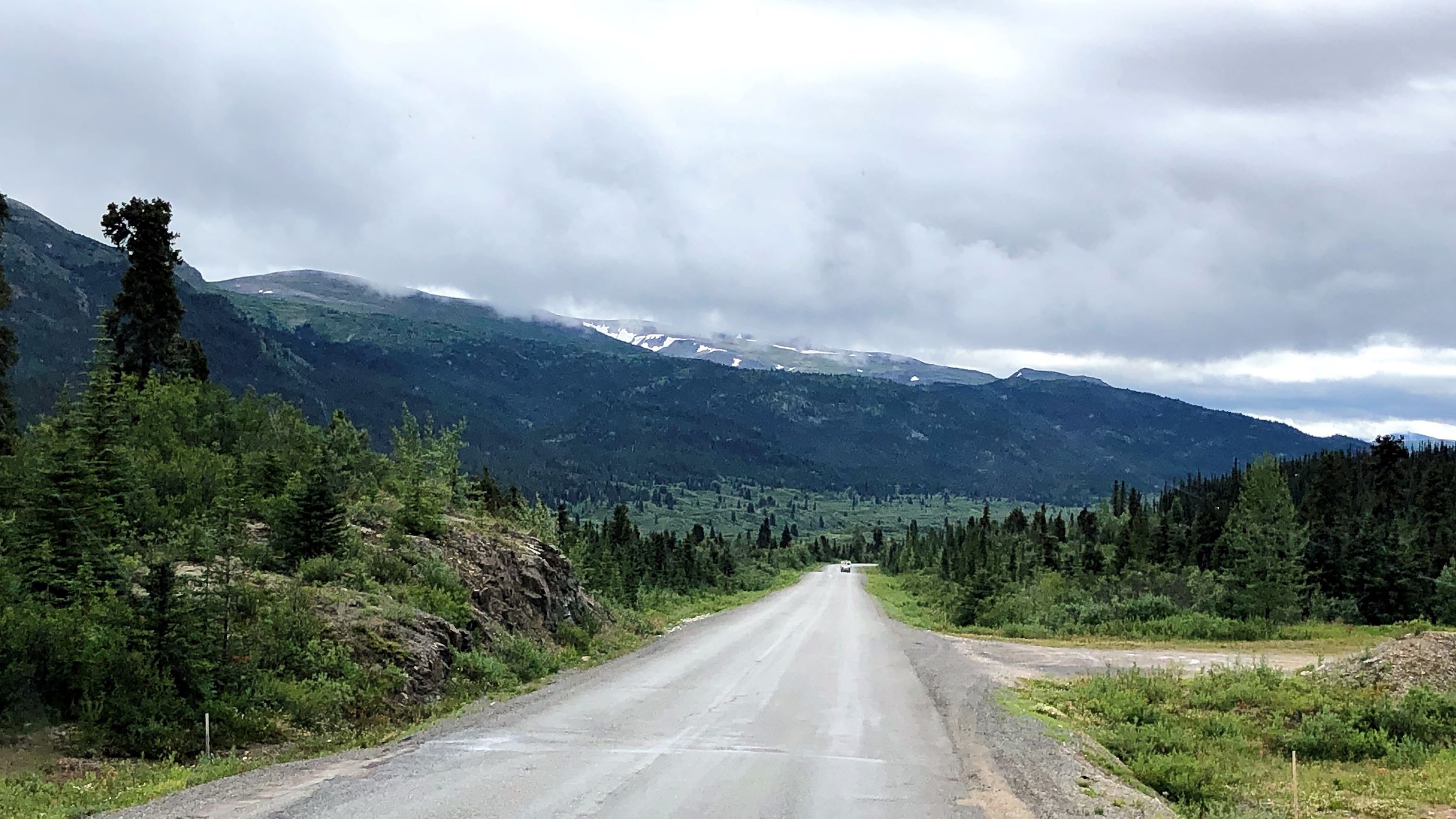
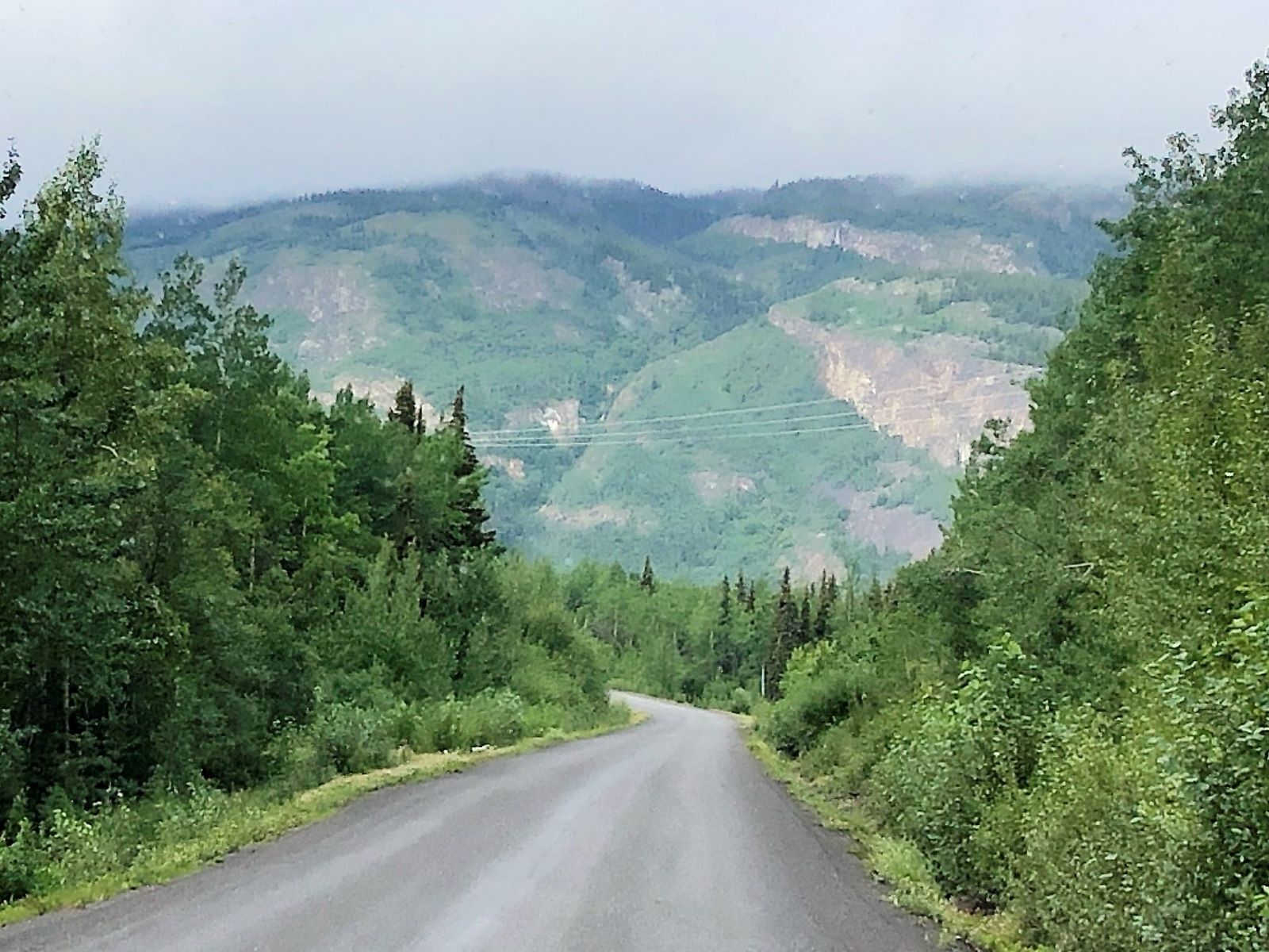
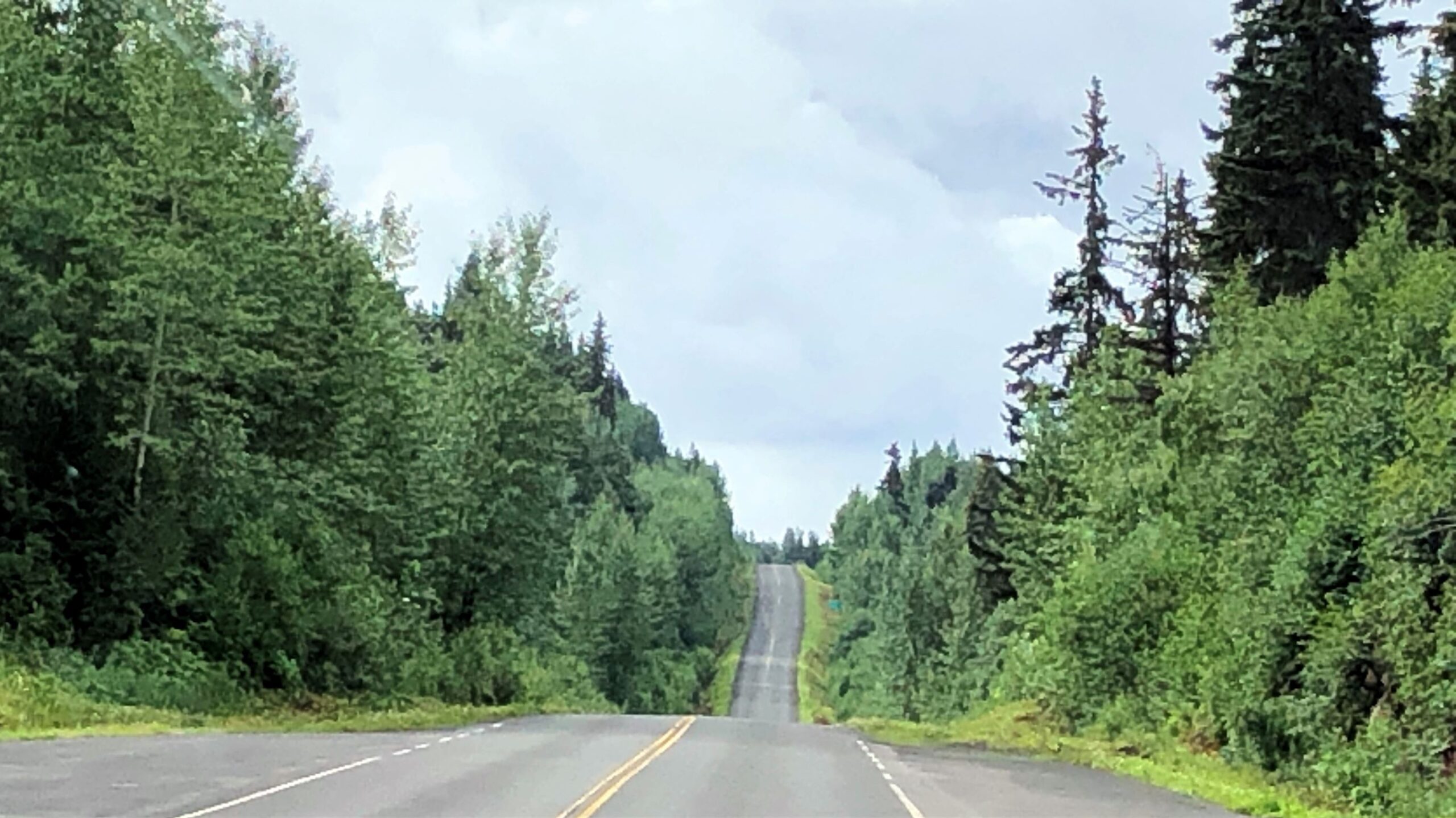
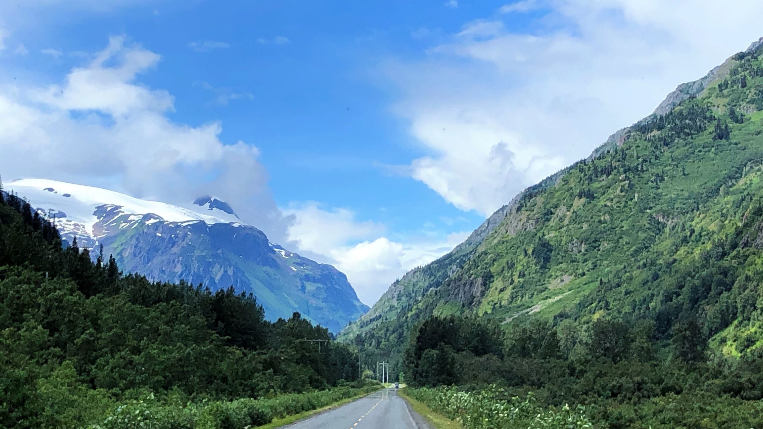
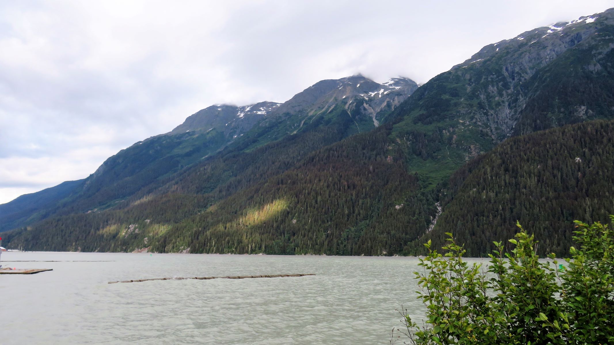
The road had some heaves, hills and curves. The Cassiar Highway is really something, but not as bad as some of the roads we have driven!

… and more rain…
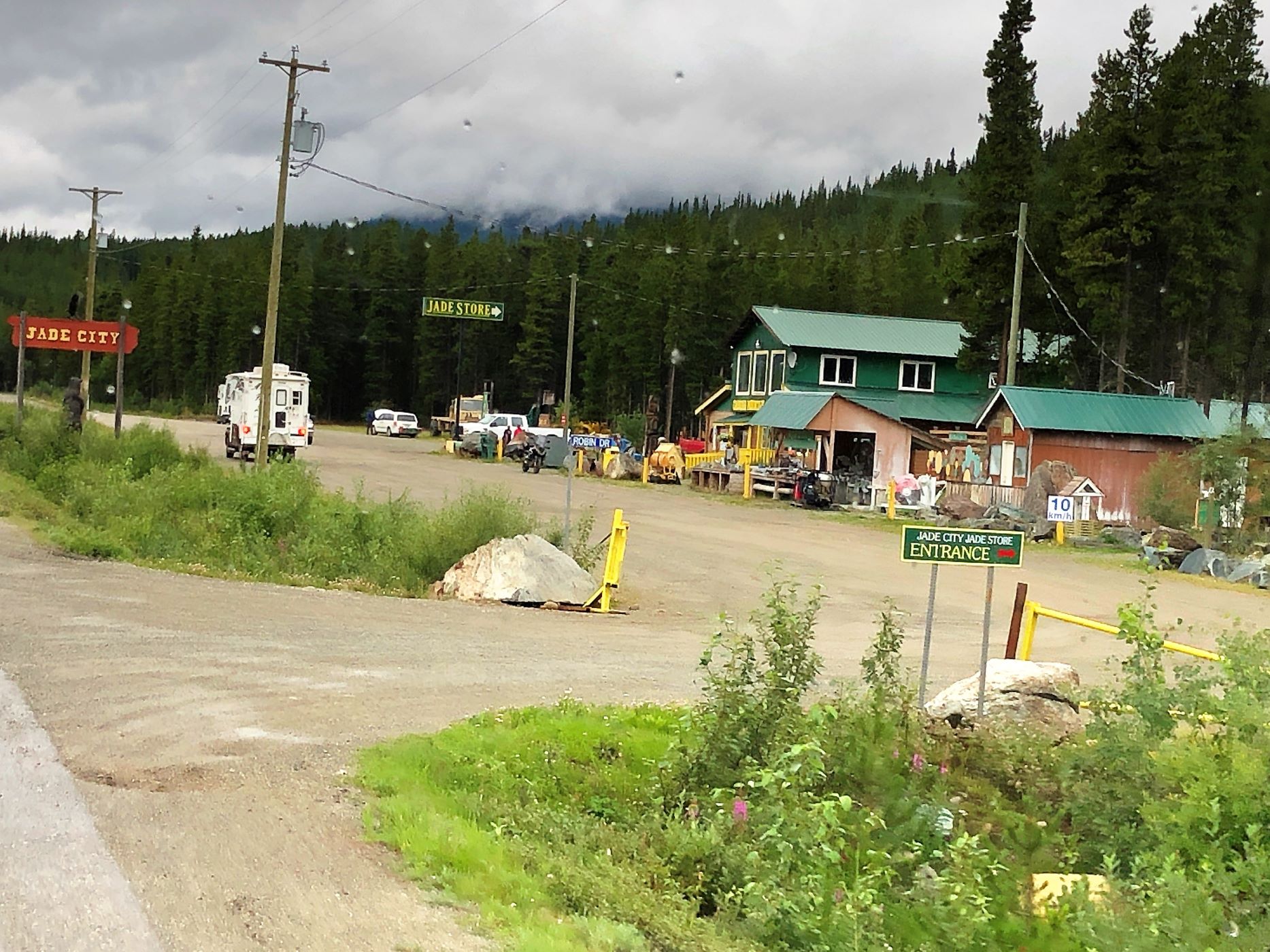
Good thing we didn’t blink – woulda missed seeing “World Famous Jade City” but we did not stop…
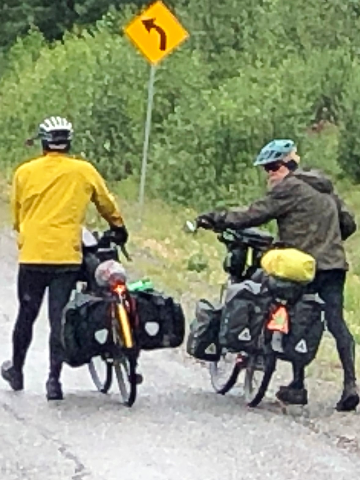
Can’t blame these cyclists for walking up the hill – it was steep, and they are loaded for bear!
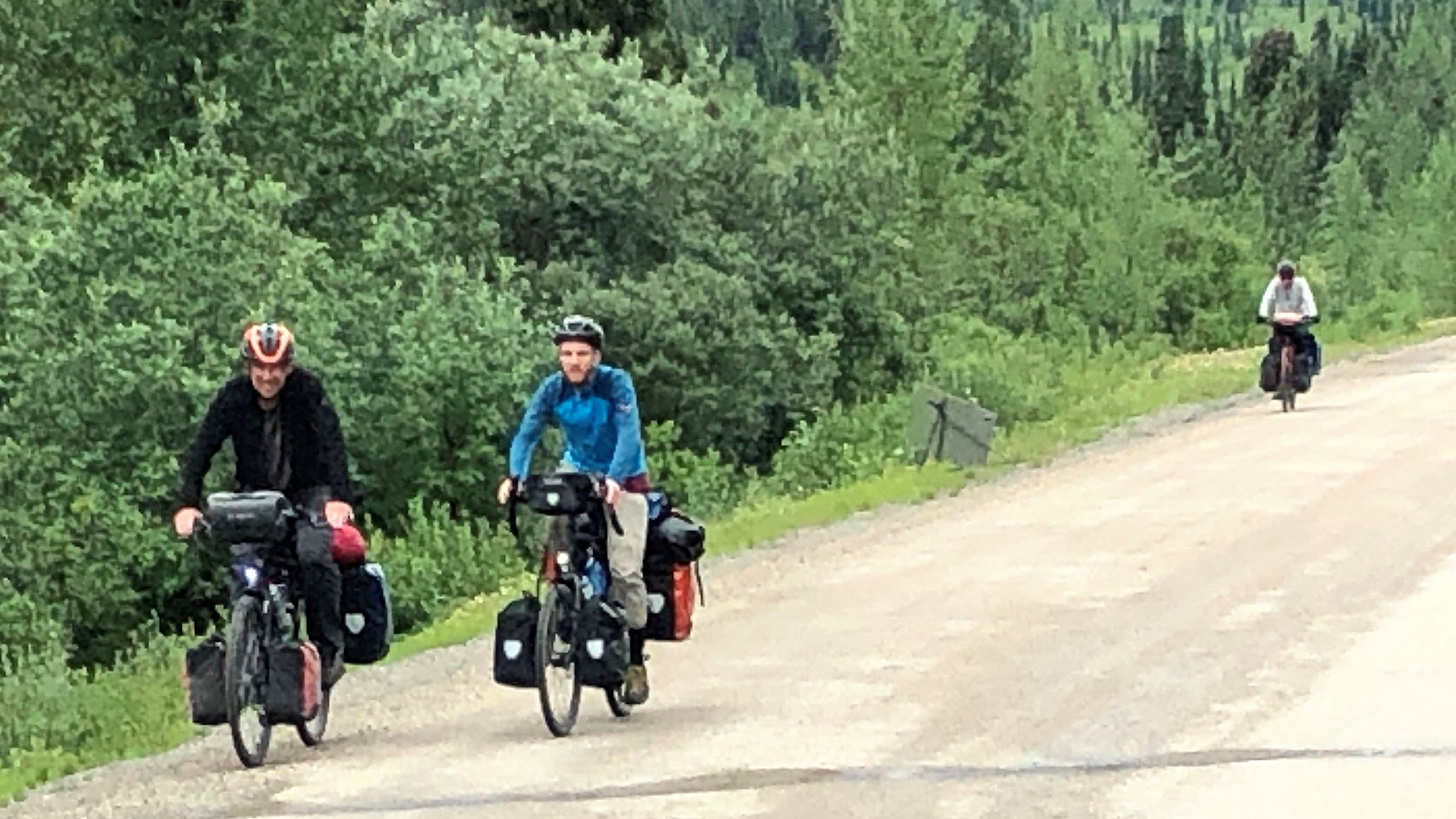
When we first spotted this bicyclist, we thought he was riding solo.
But here’s the rest of his gang!
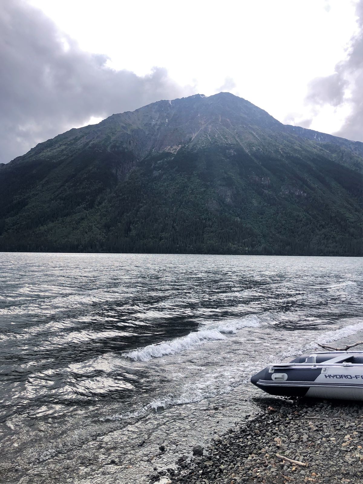
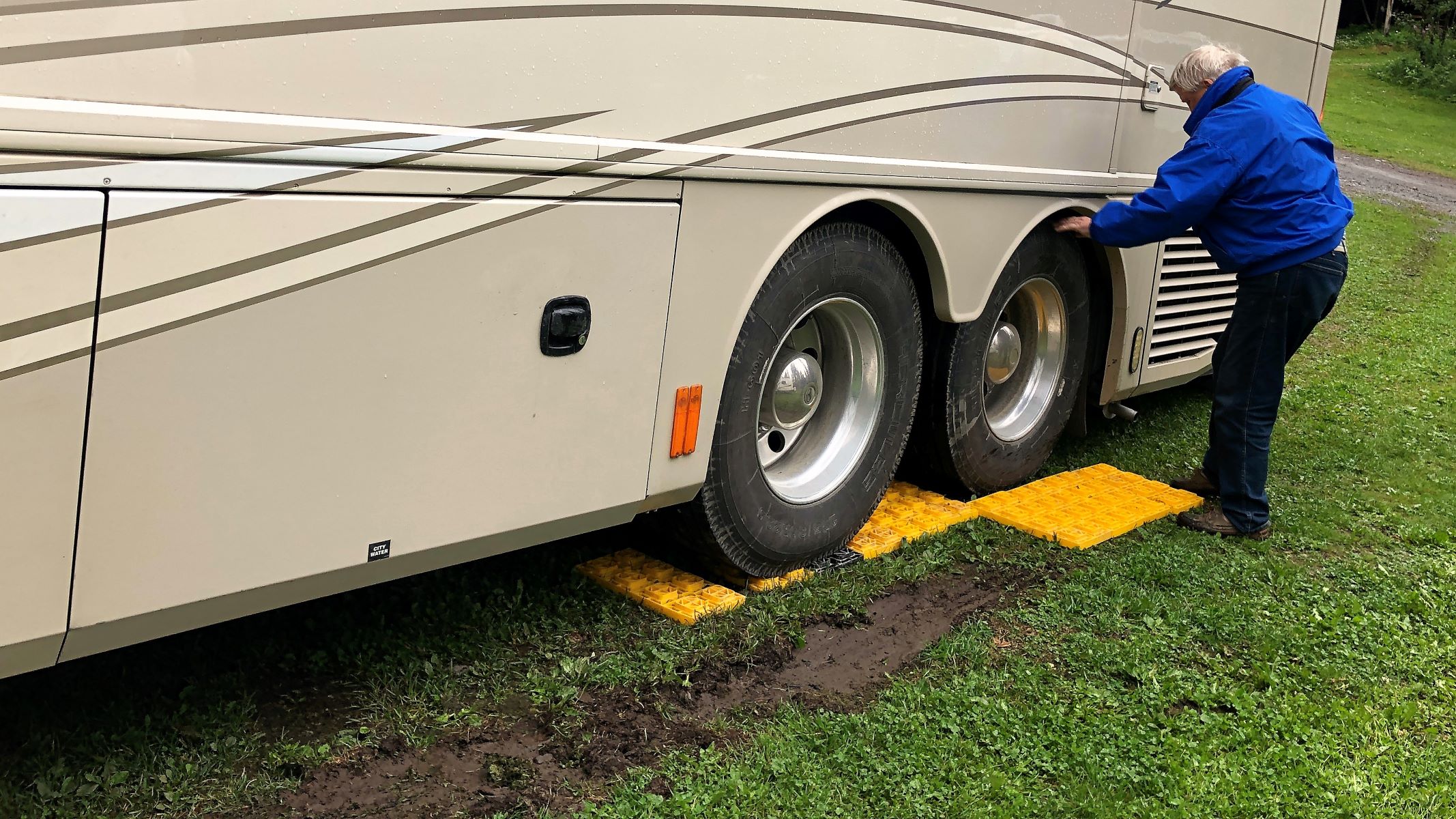
At 1:15, when we arrived at the Red Goat Lodge in Iskut, BC in a drizzling rain. We disconnected Thor before we attempted to pull down into the grassy site where we were to park. It was supposed to be a pull-thru, but there was already a good sized puddle where we would have pulled out, so Jim knew we would need to back uphill out of there. The whole site was already wet, and the front wheels slid a bit as we pulled in. The left side was low, so we backed up unto the plastic leveling pads front and back; Acey can self-level with the 4 hydraulic jacks under her, but you don’t want to have the wheels off the ground!
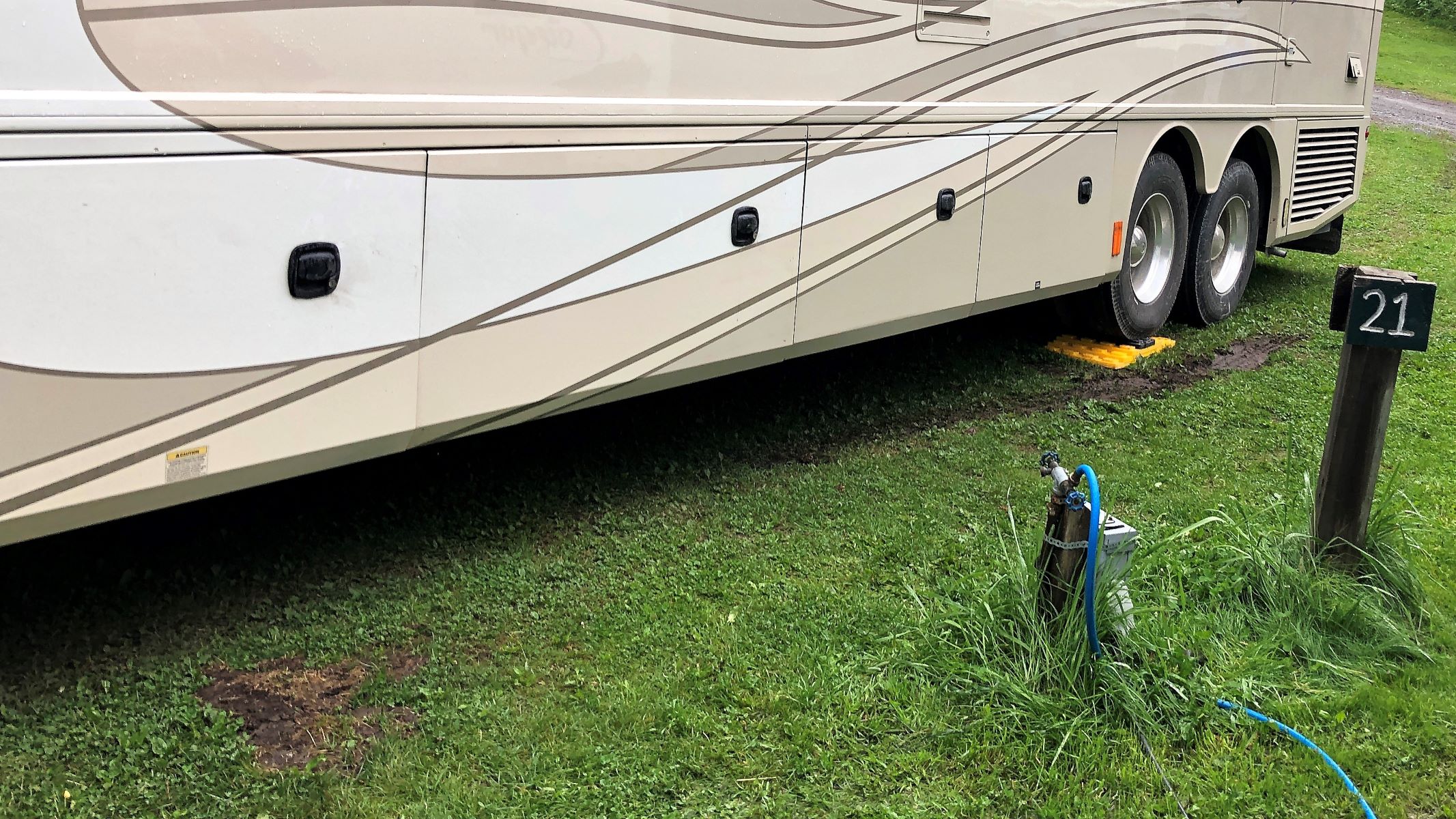
We have 30-amp electric and water hookups here for our overnight stay. This campground is quite isolated – no cell service, no internet, no TV reception on the antenna – but plenty of mosquitoes, bugs and mud!
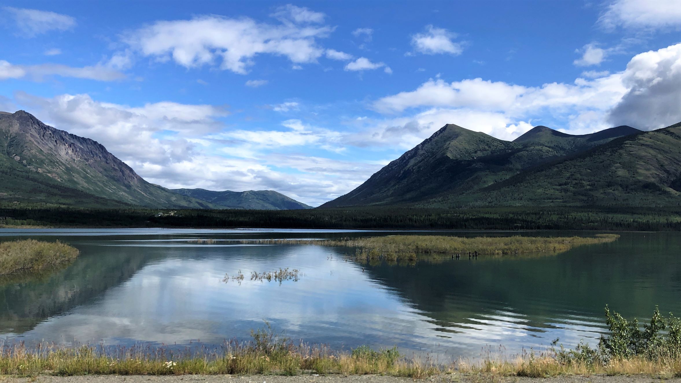
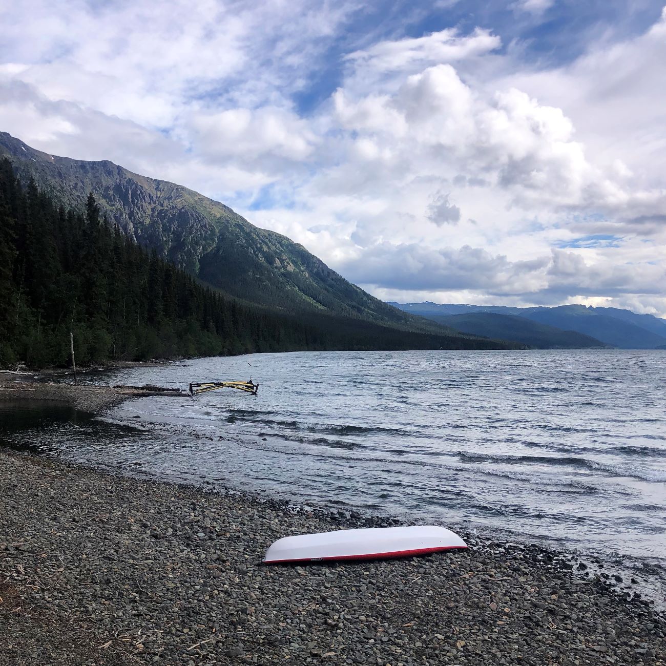
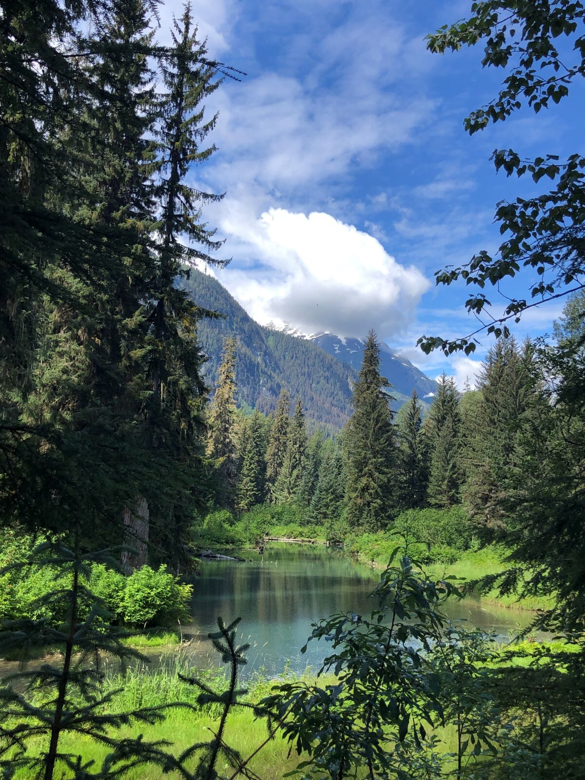
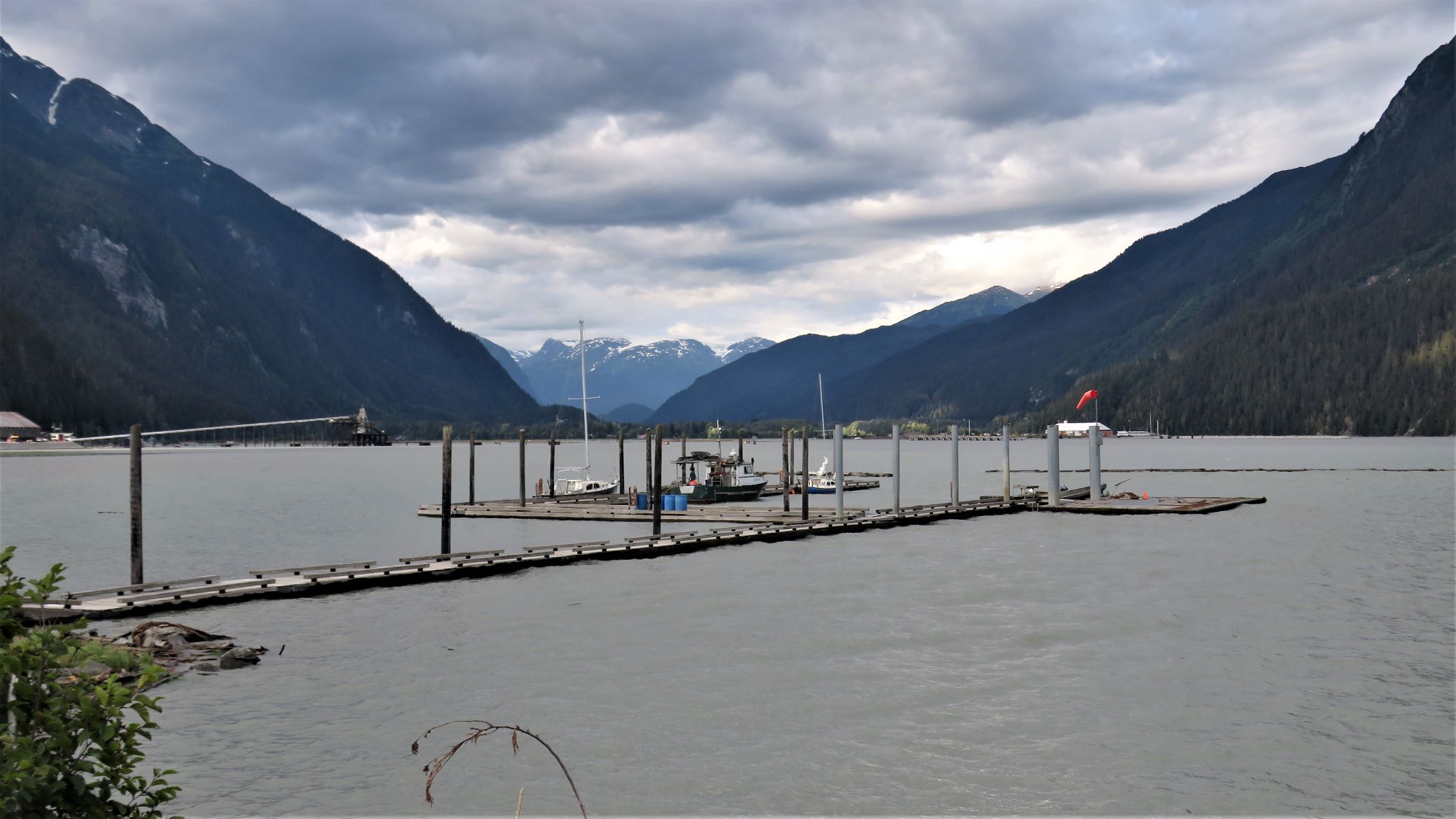
The lake here looks quite peaceful.
All of Tuesday night, it rained and rained! And all night long, Jim had dreams nightmares about how we would get Acey out of the site.
Wednesday morning, August 3, we awoke to a big muddy puddle in front of Acey, where we would have driven out of the site had it been dry.
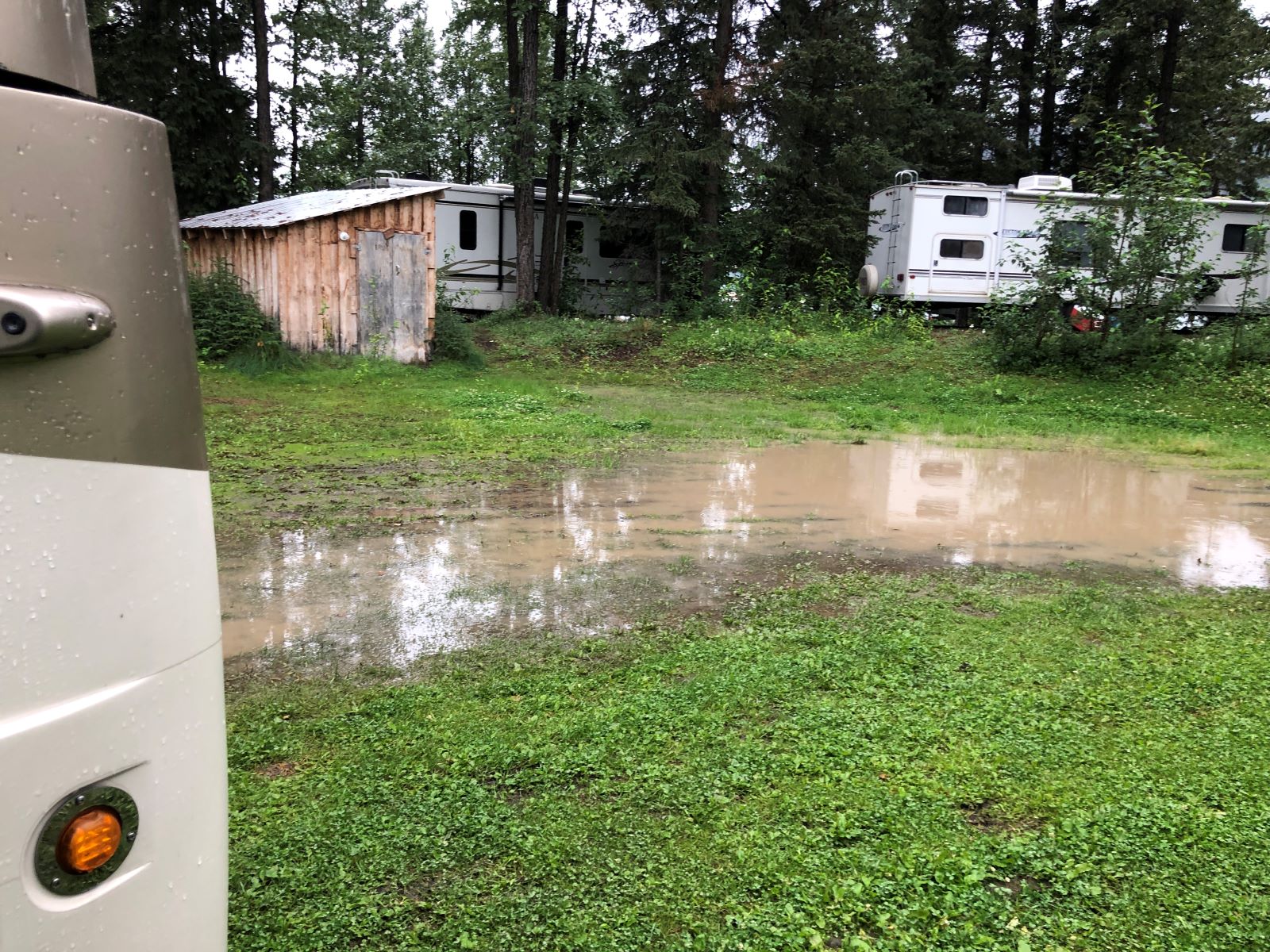
There was plenty of saturated grassy ground all around her, the muddy skid marks from yesterday, and a light drizzle started. Jim backed up just a little so that we could pull out some of the leveling pads to make a ramp to back up onto. We were thankful that Paul and Lee helped us move the leveling pads as Jim ever so slowly backed up over them.
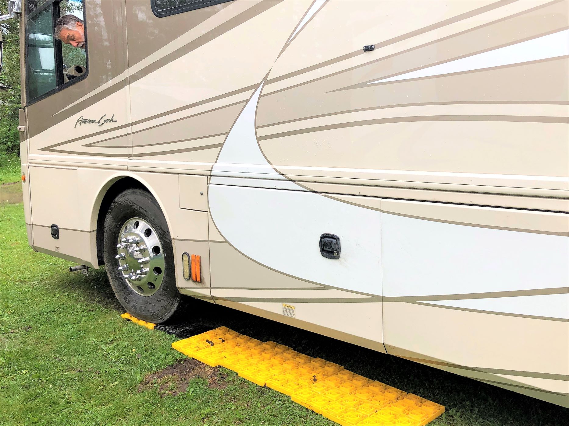
In the back, the pads just need to go under the drive wheel – not the tag.
Thankfully, we got out of the site and onto the road without the need for a tow truck (which could have taken who-knows-how-long as remote as we are here!) We stopped at the dump station and then hooked up Thor, leaving at 9am with 91,158.7 miles on Acey and Thor still has 104,928 (even though we disconnected, we did not go very far!). Back on the road again!
It just amazes us how many folks we have seen riding bikes! Very adventurous for sure – not quite our style tho…
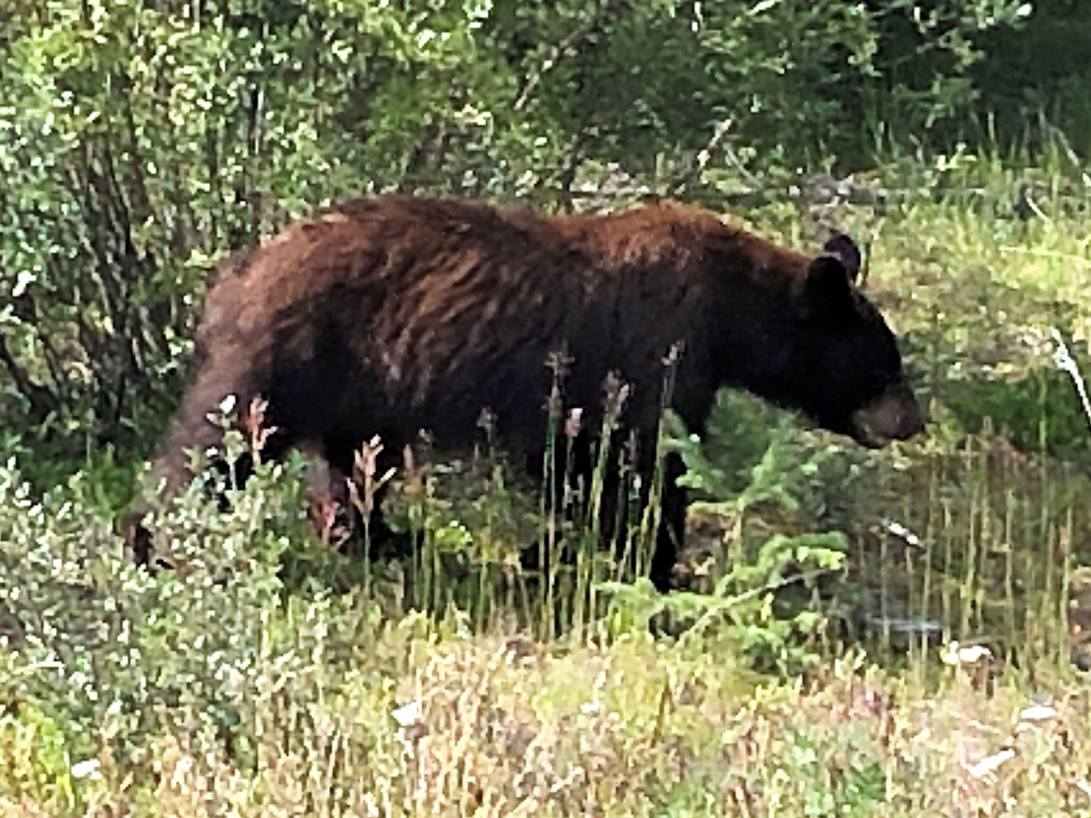
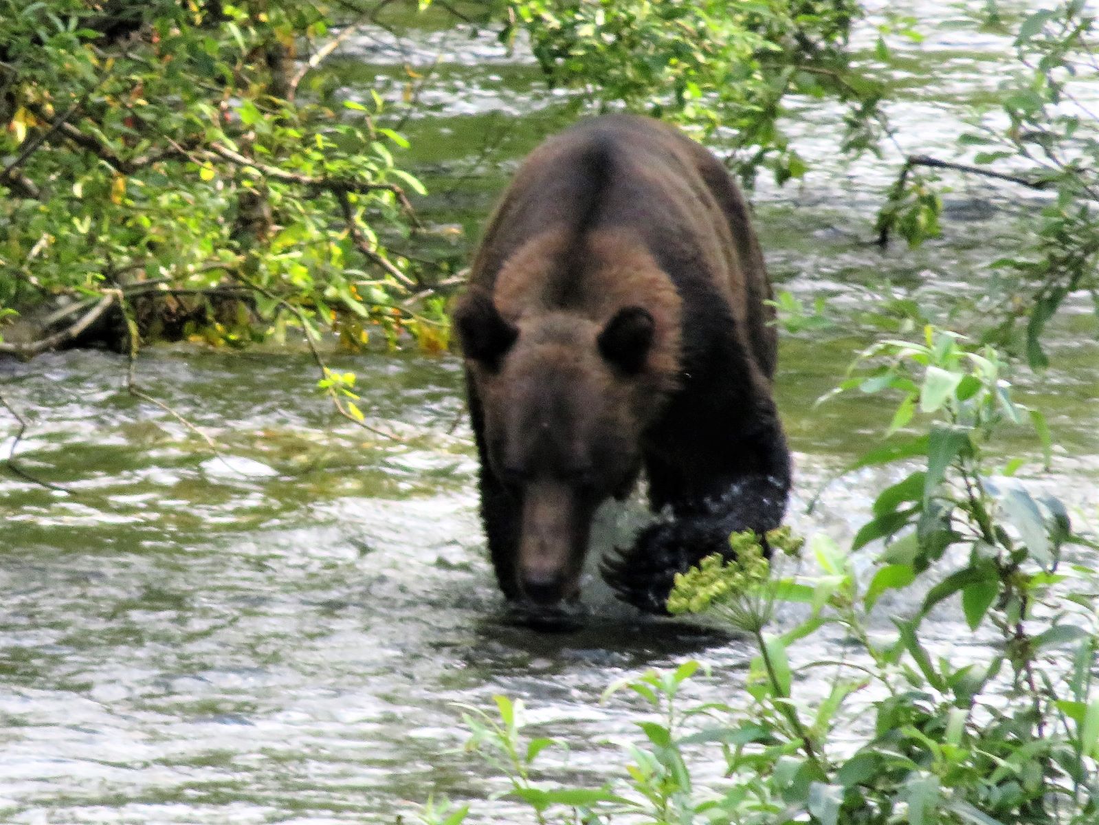
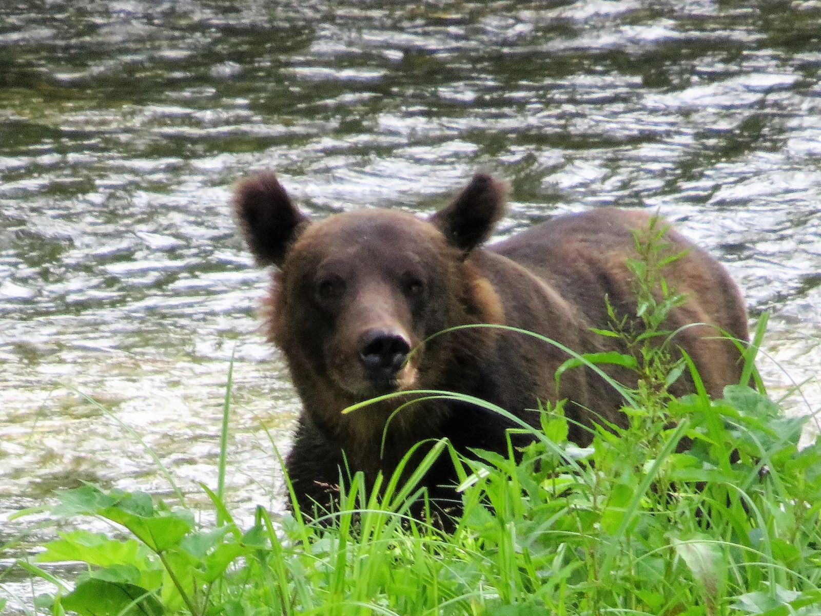
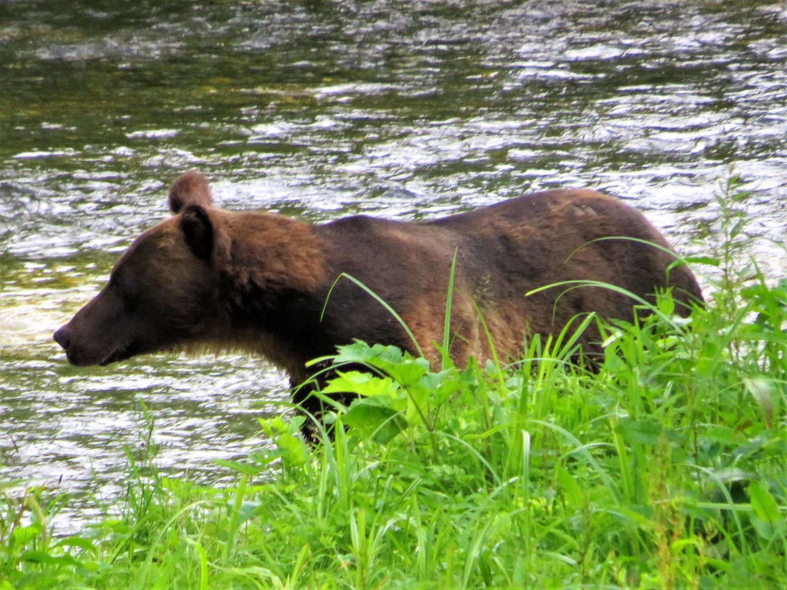
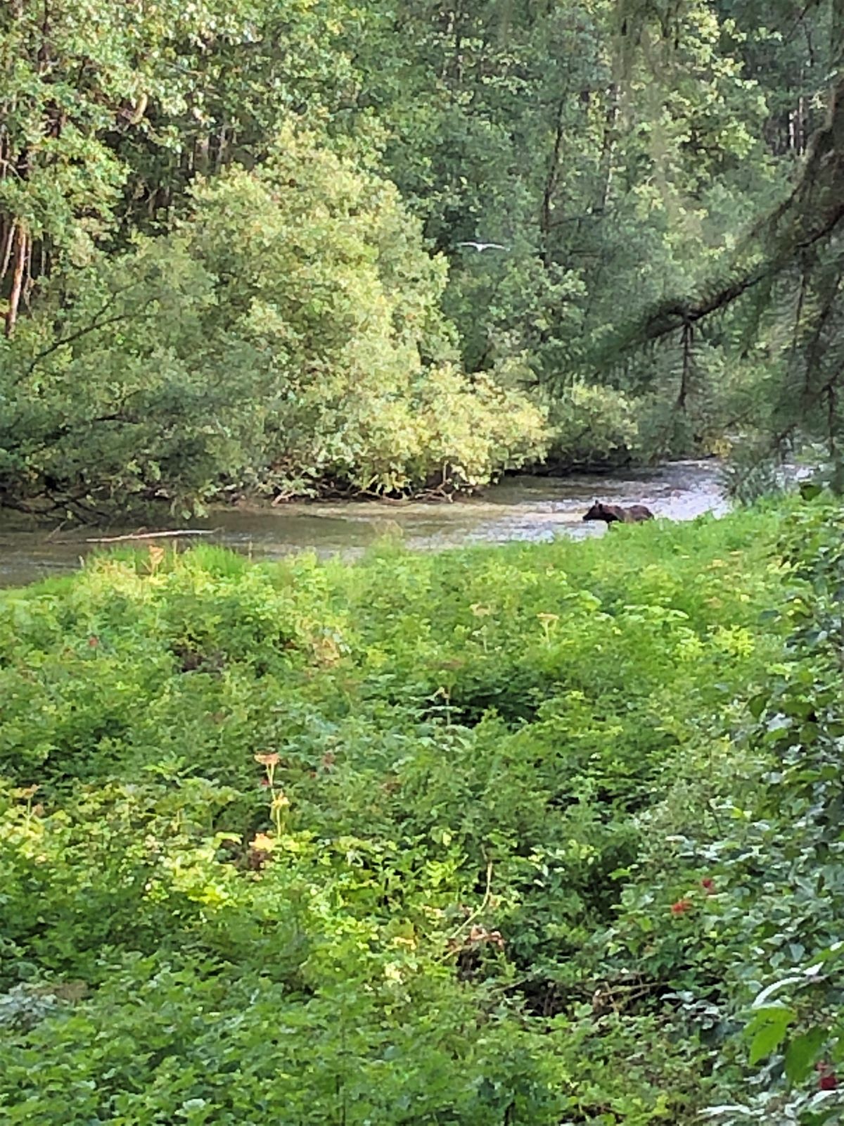
A bear!!
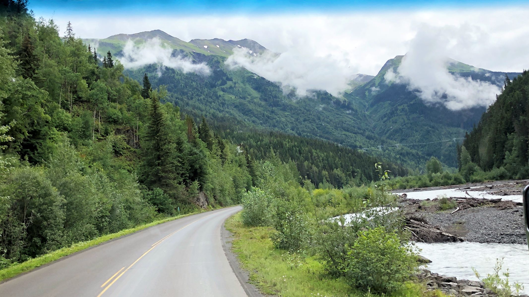
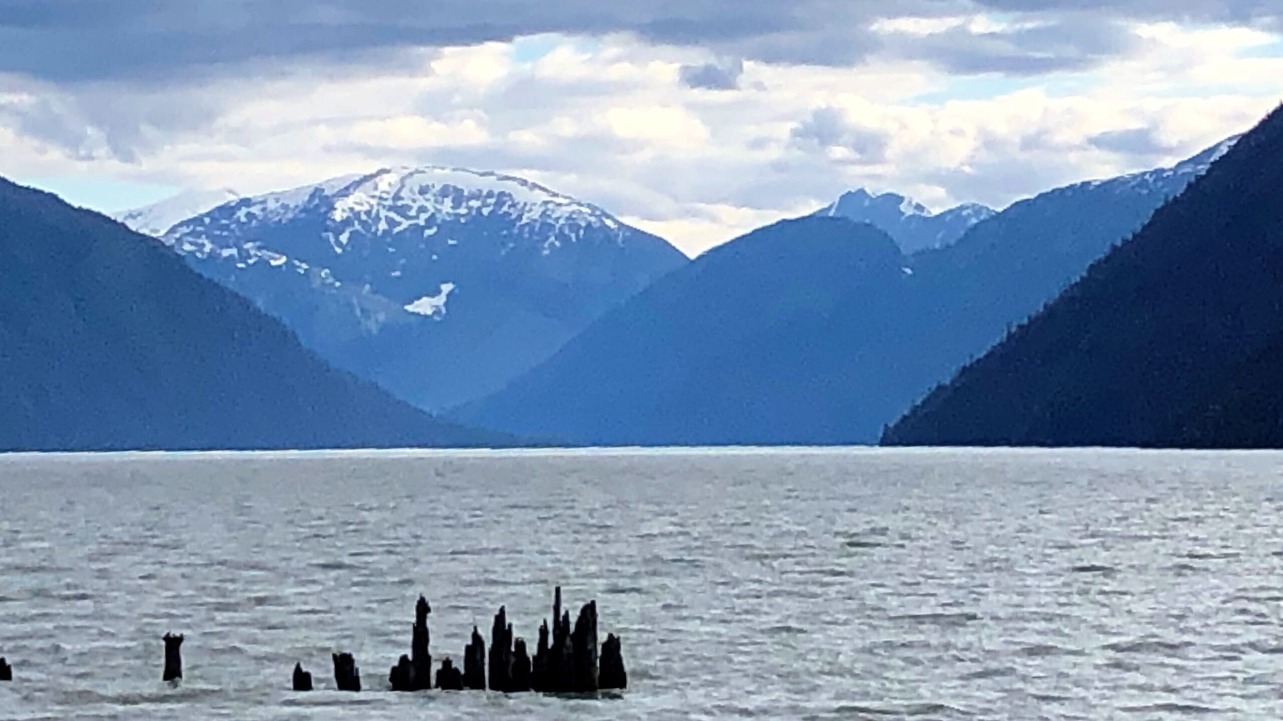
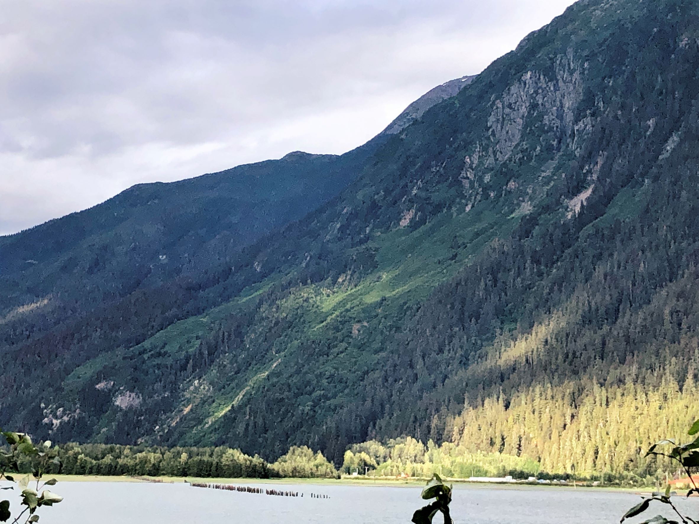
The Cassiar Highway is often like riding a rollercoaster with its hills and curves!
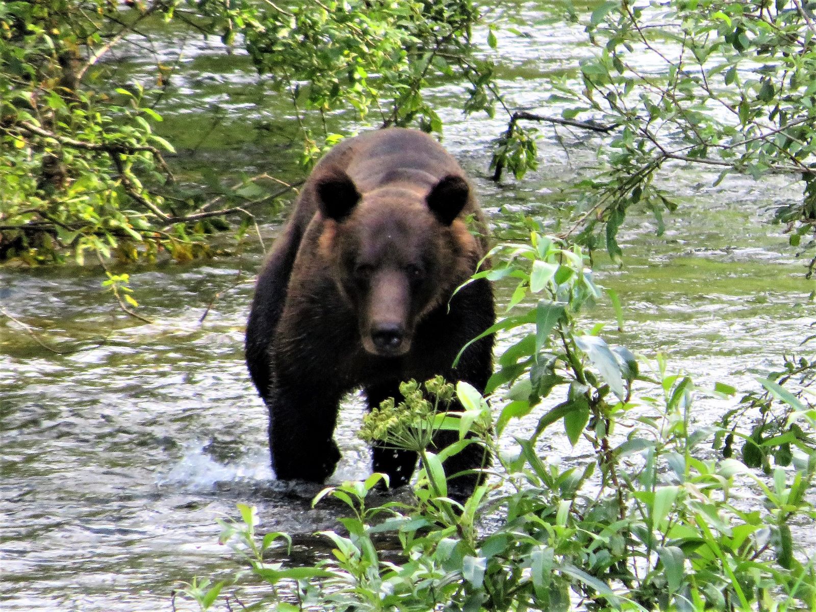
Another bear!
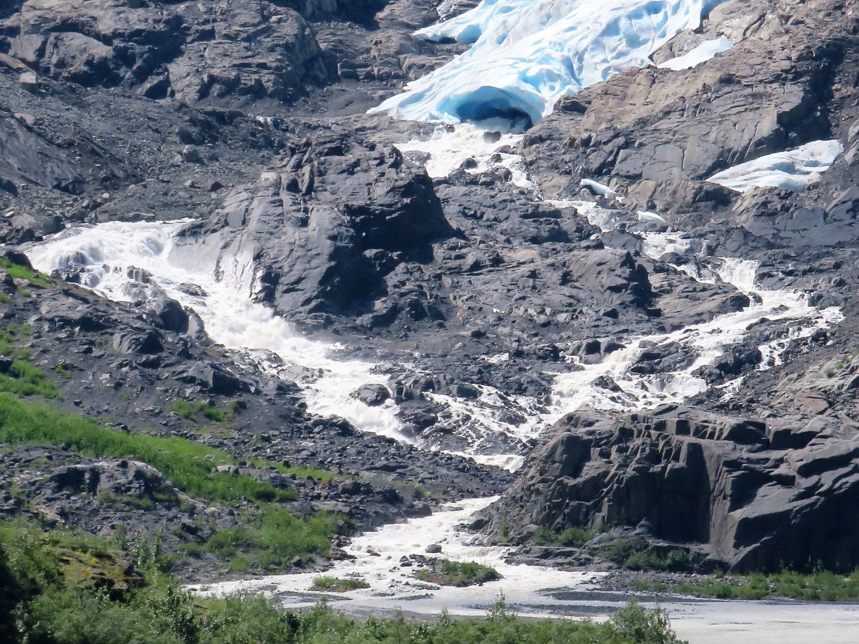
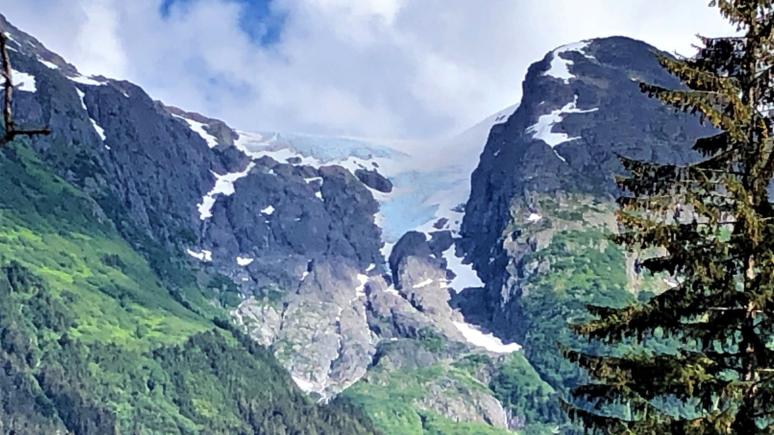
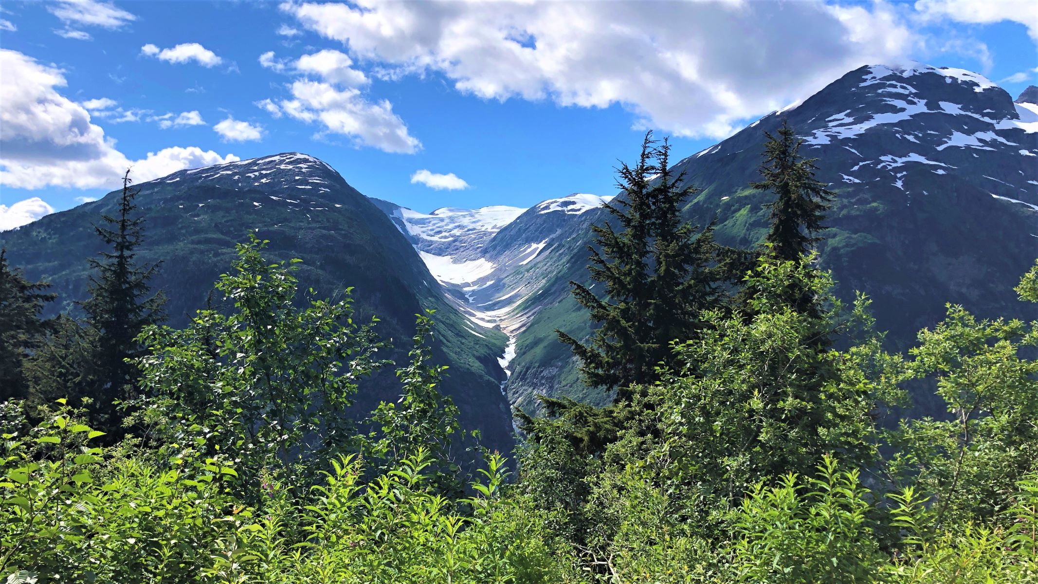
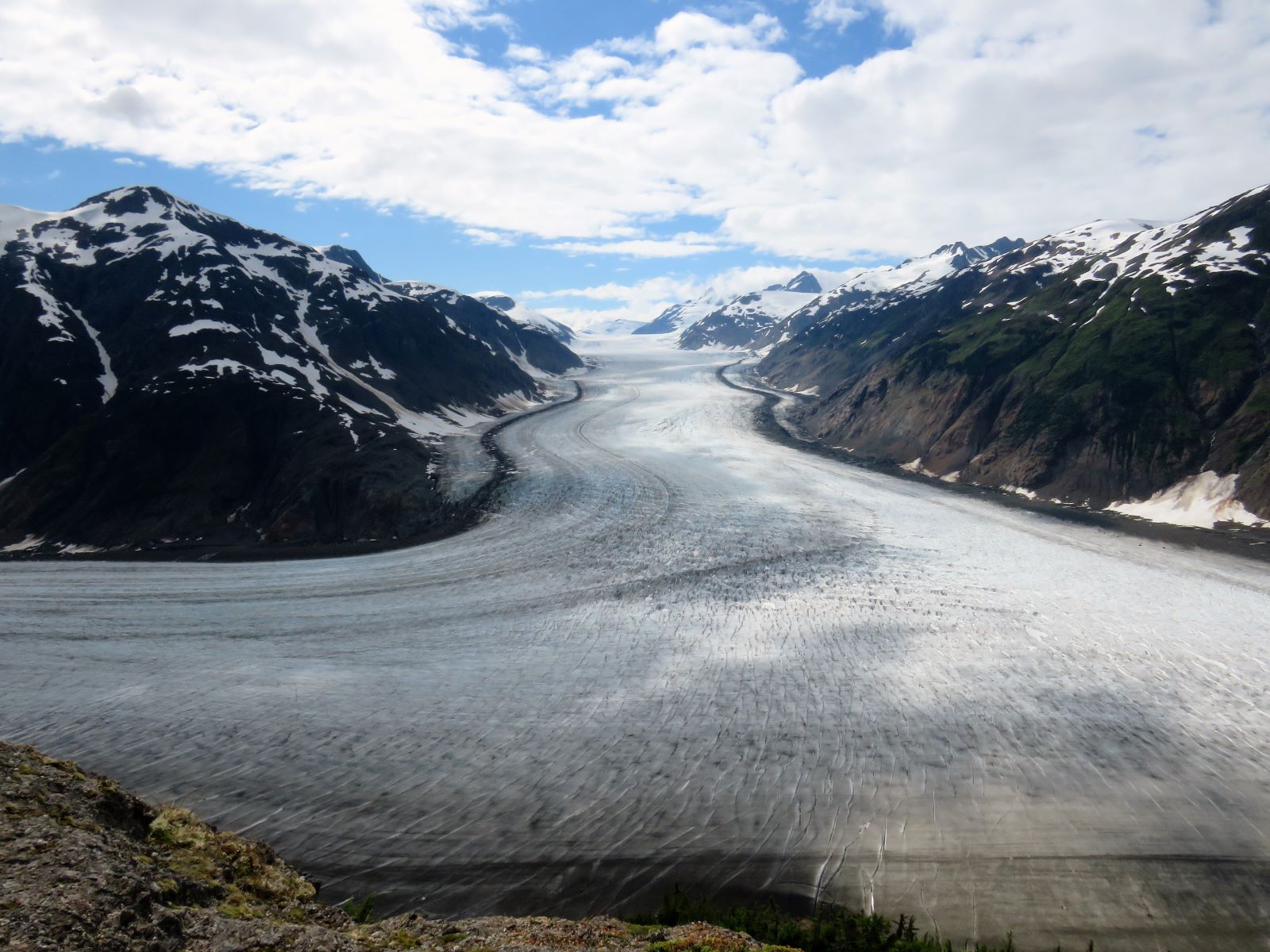
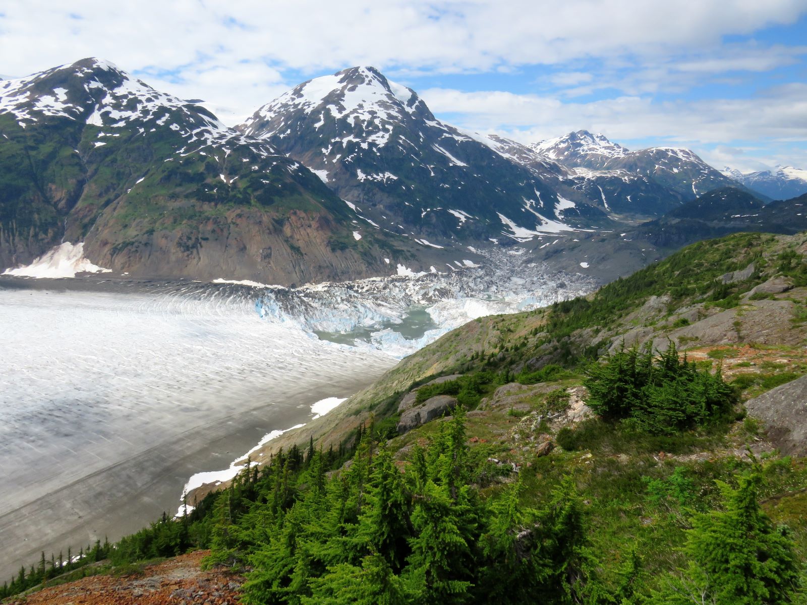
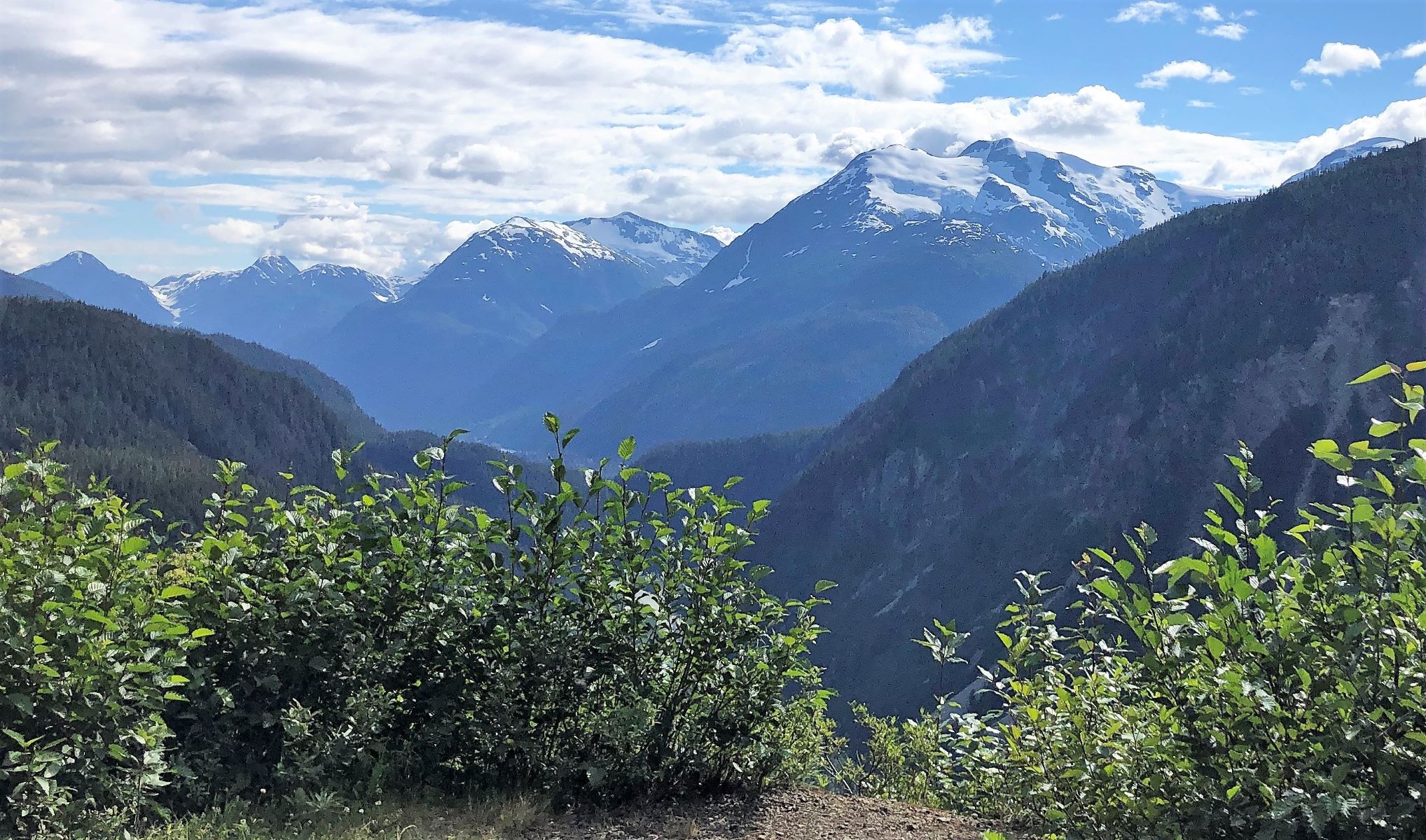
Bear Glacier – right by the highway!
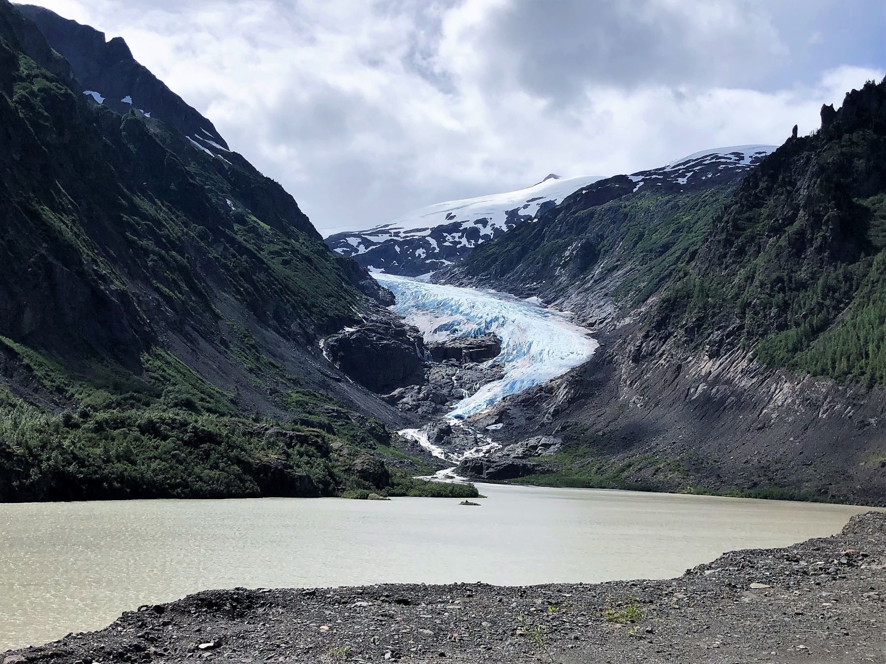
The amount of water coming down from the glacier was fascinating! Bear Glacier, at the head of Bear River, descends toward Strohn Lake, through Bear Pass and on to Stewart and into the Portland Canal.
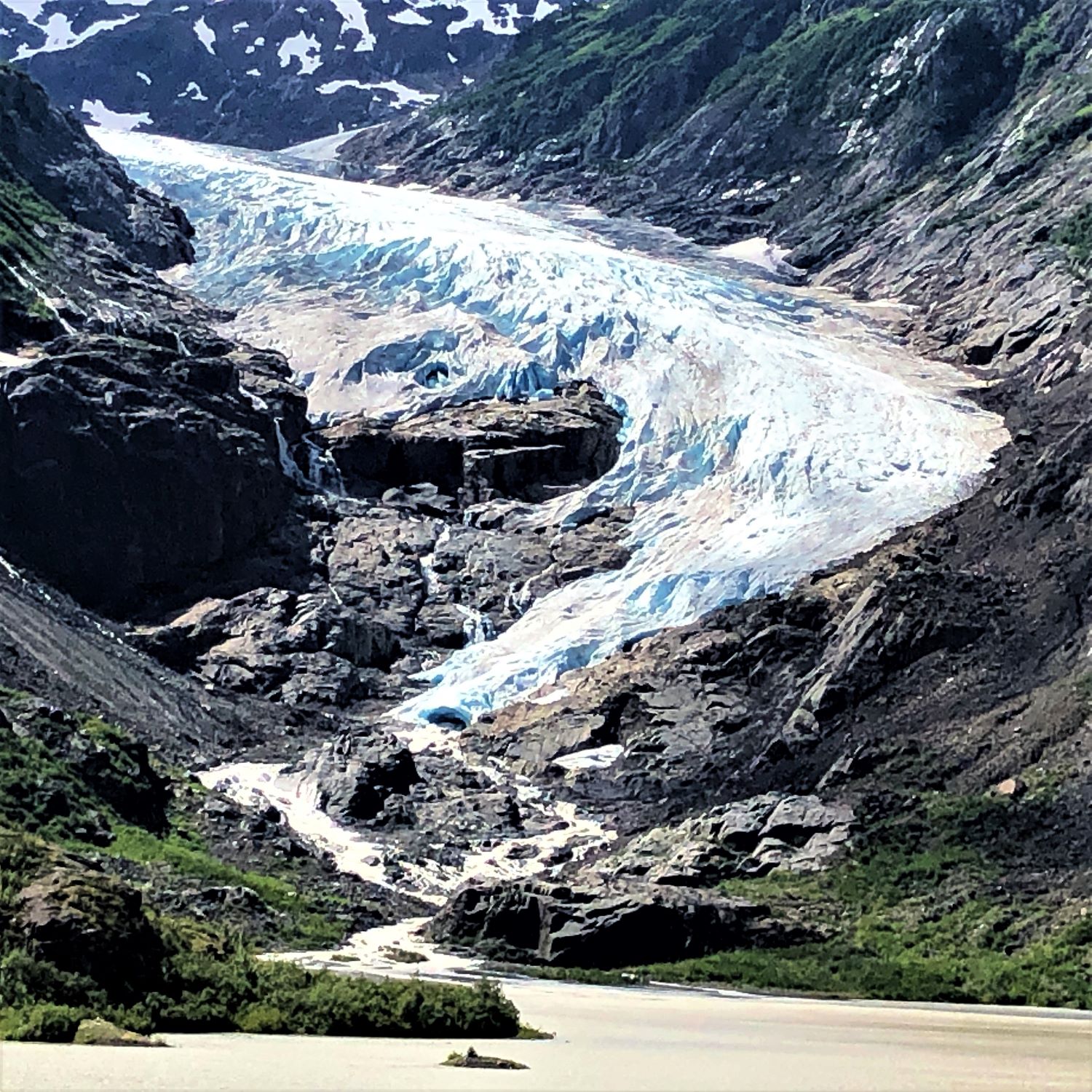
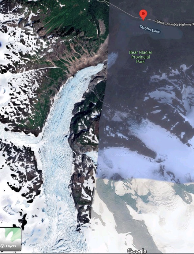
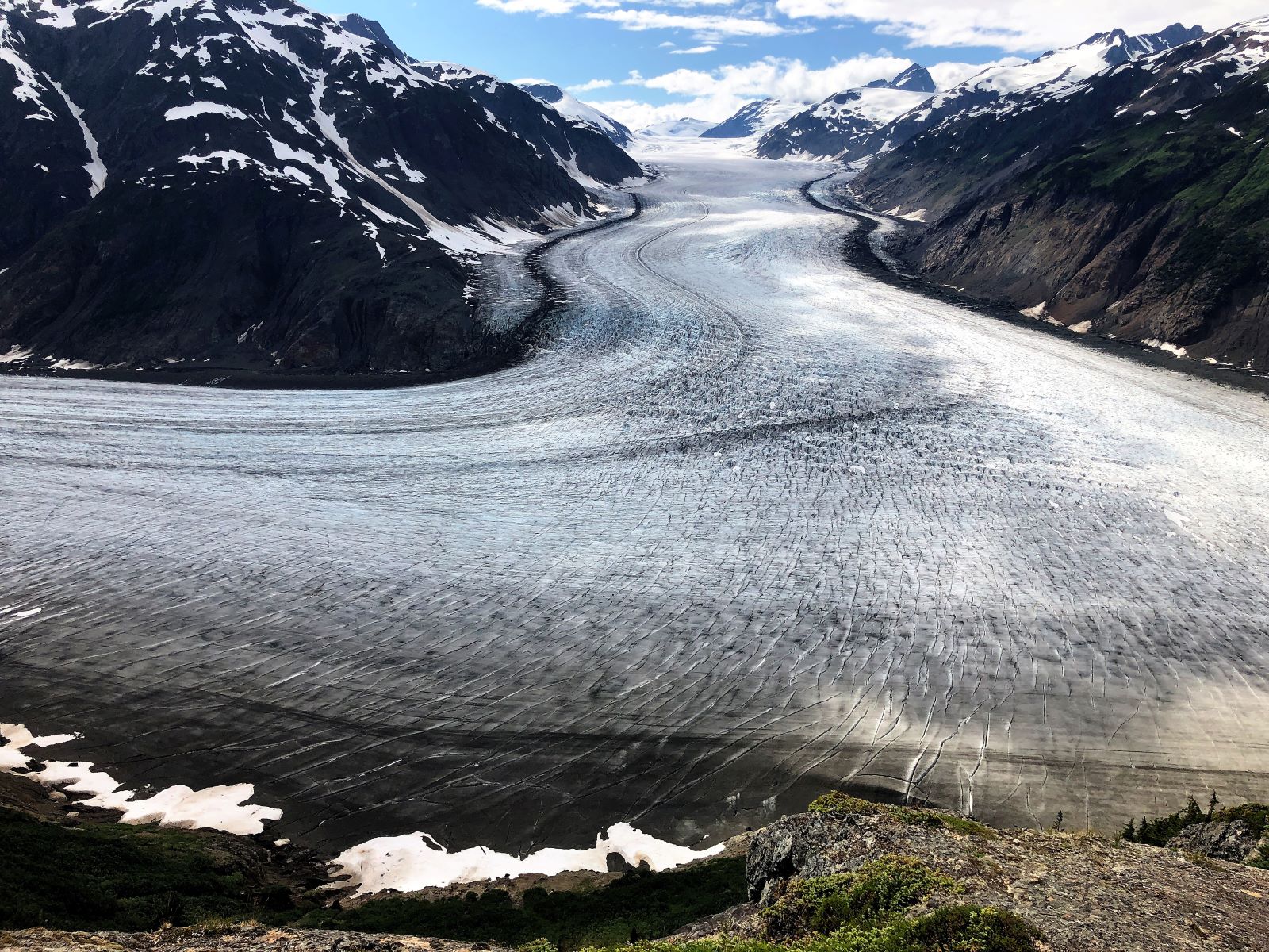
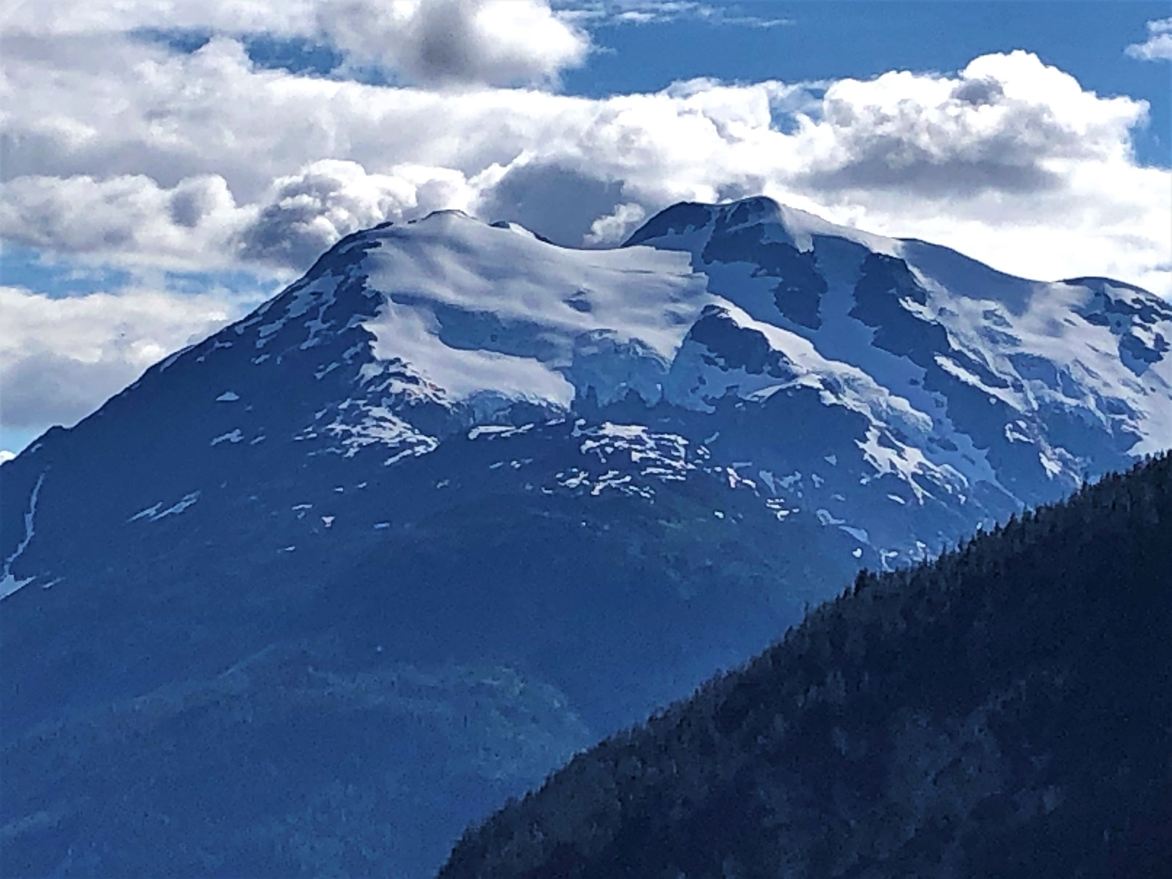
Paul found this aerial shot of Bear Glacier – it’s massive!
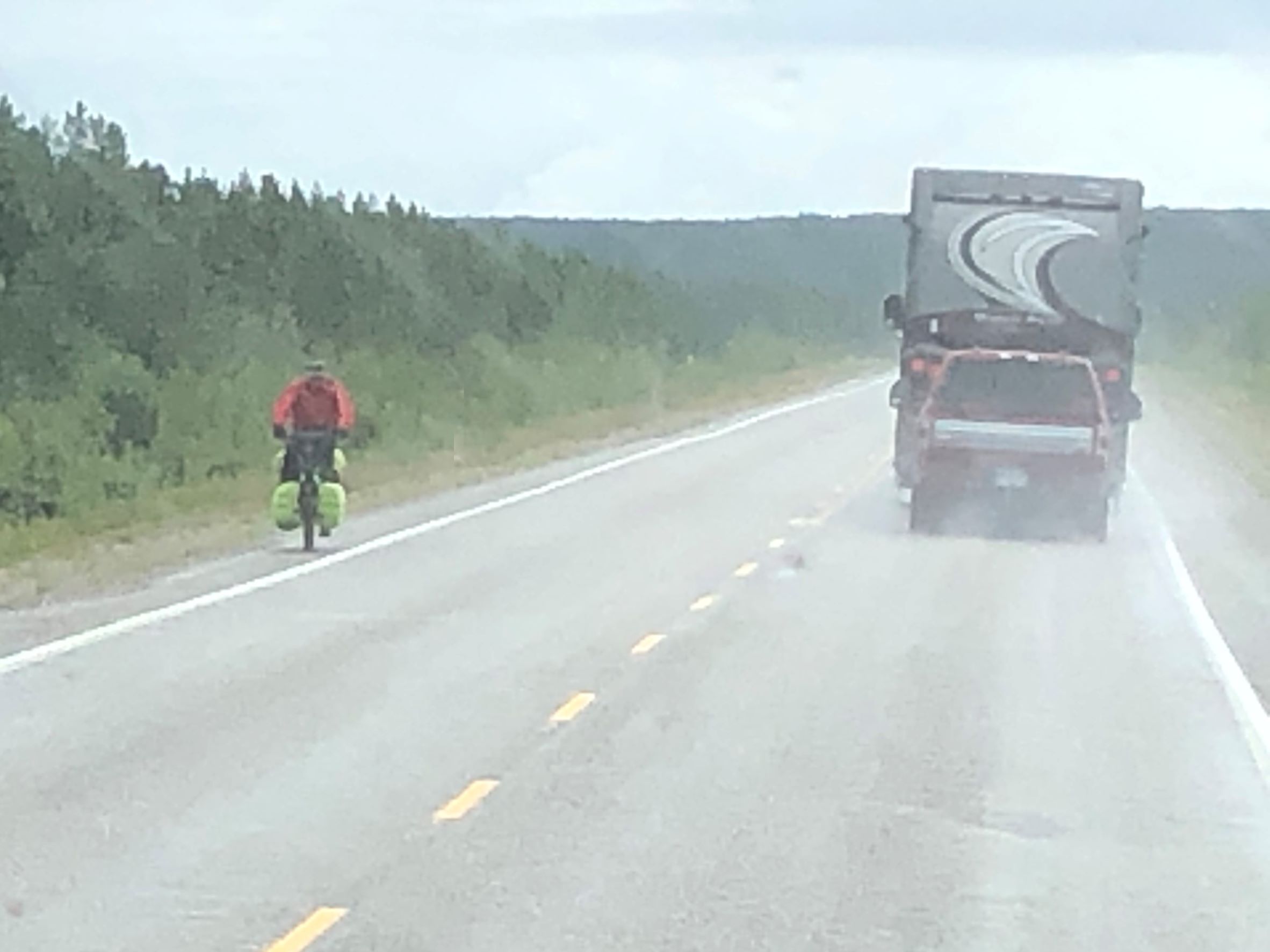
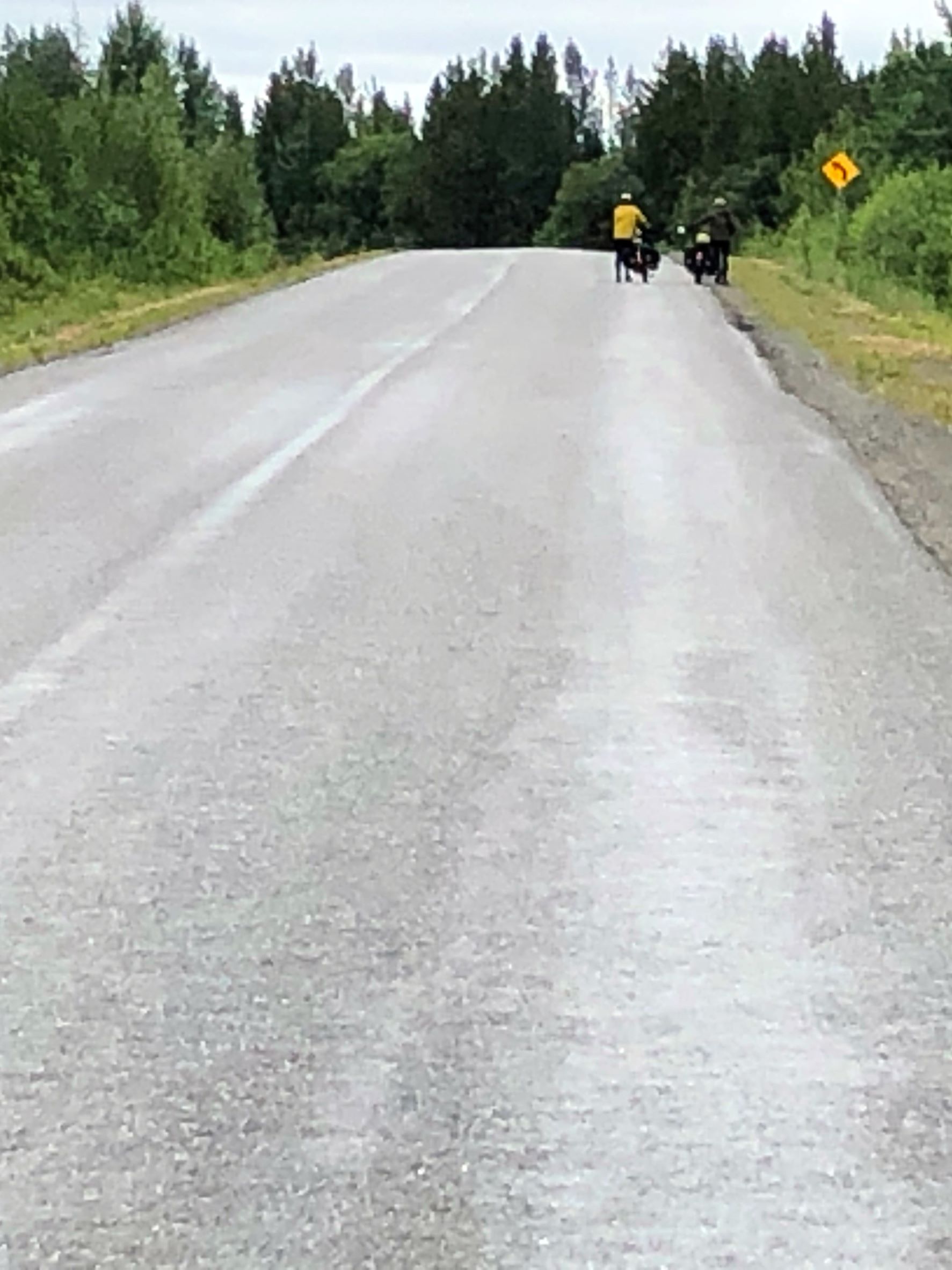
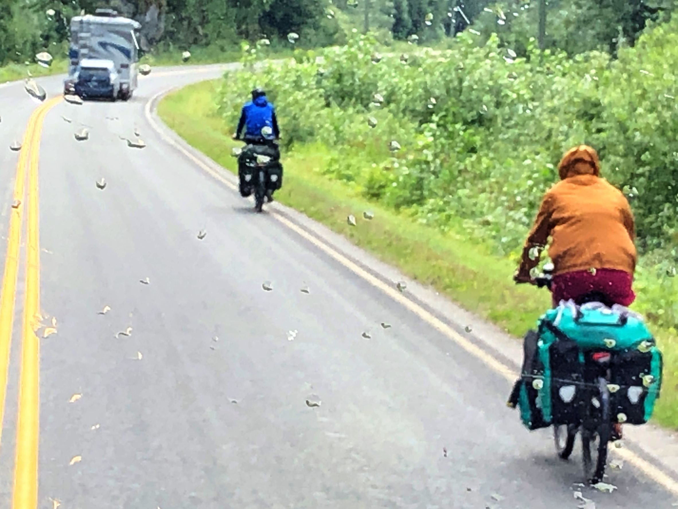
As the rain started up again, we passed a couple more cyclists!
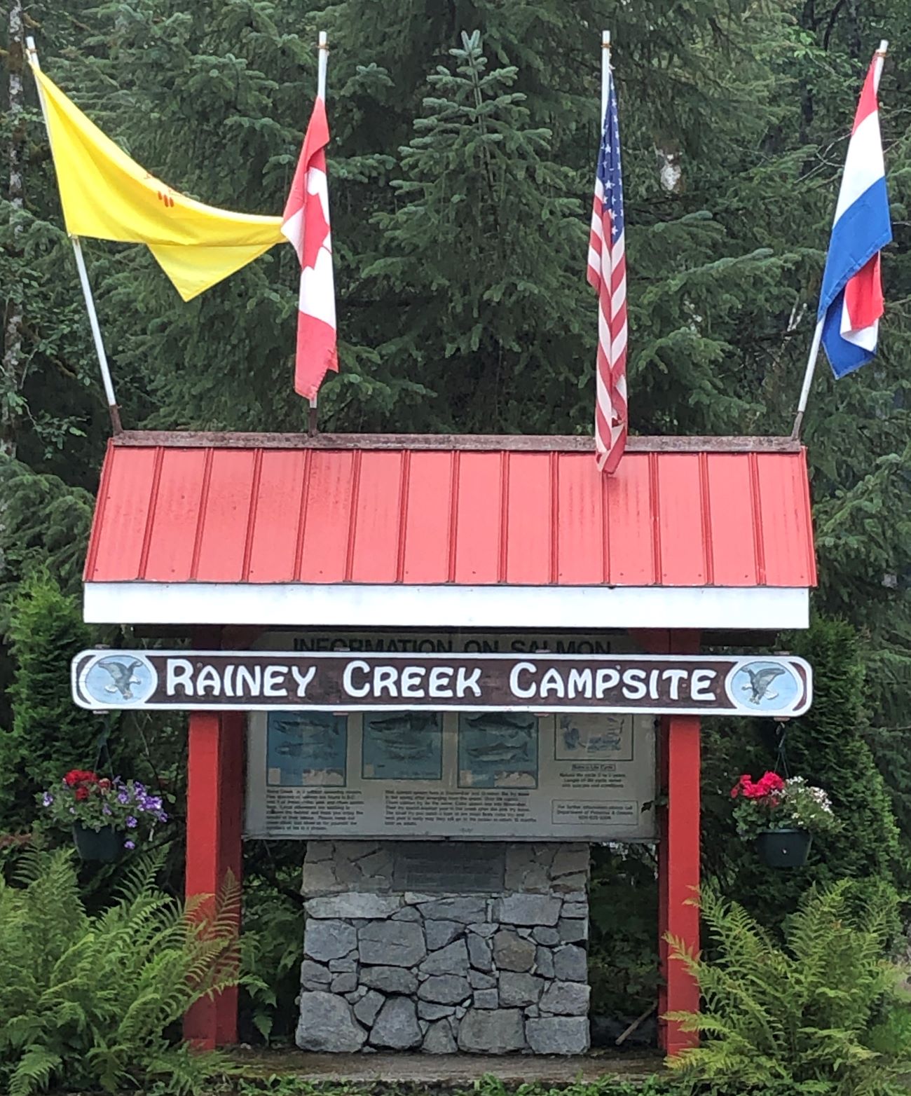
We arrived at Rainey Creek Campground in Stewart, BC at 2:00 and filled up the freshwater tank; we will have only electrical hook up and a whopping 15amp service…
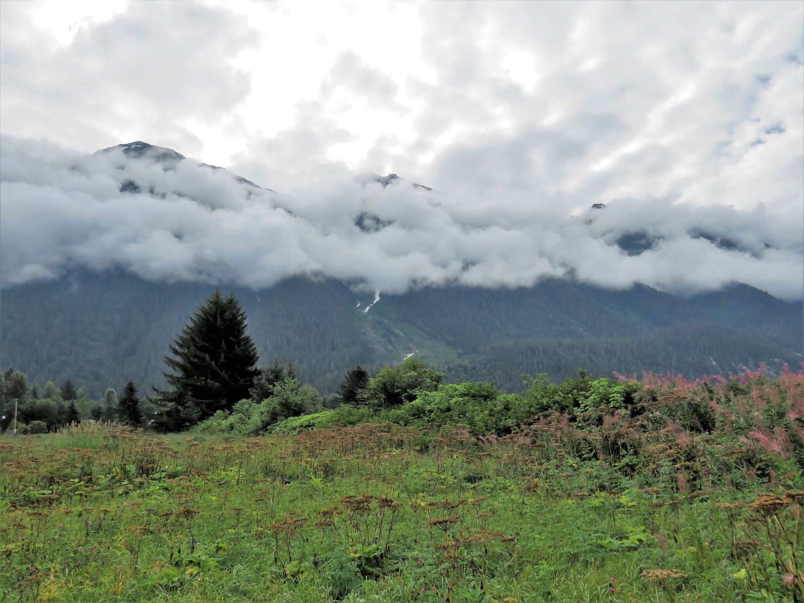
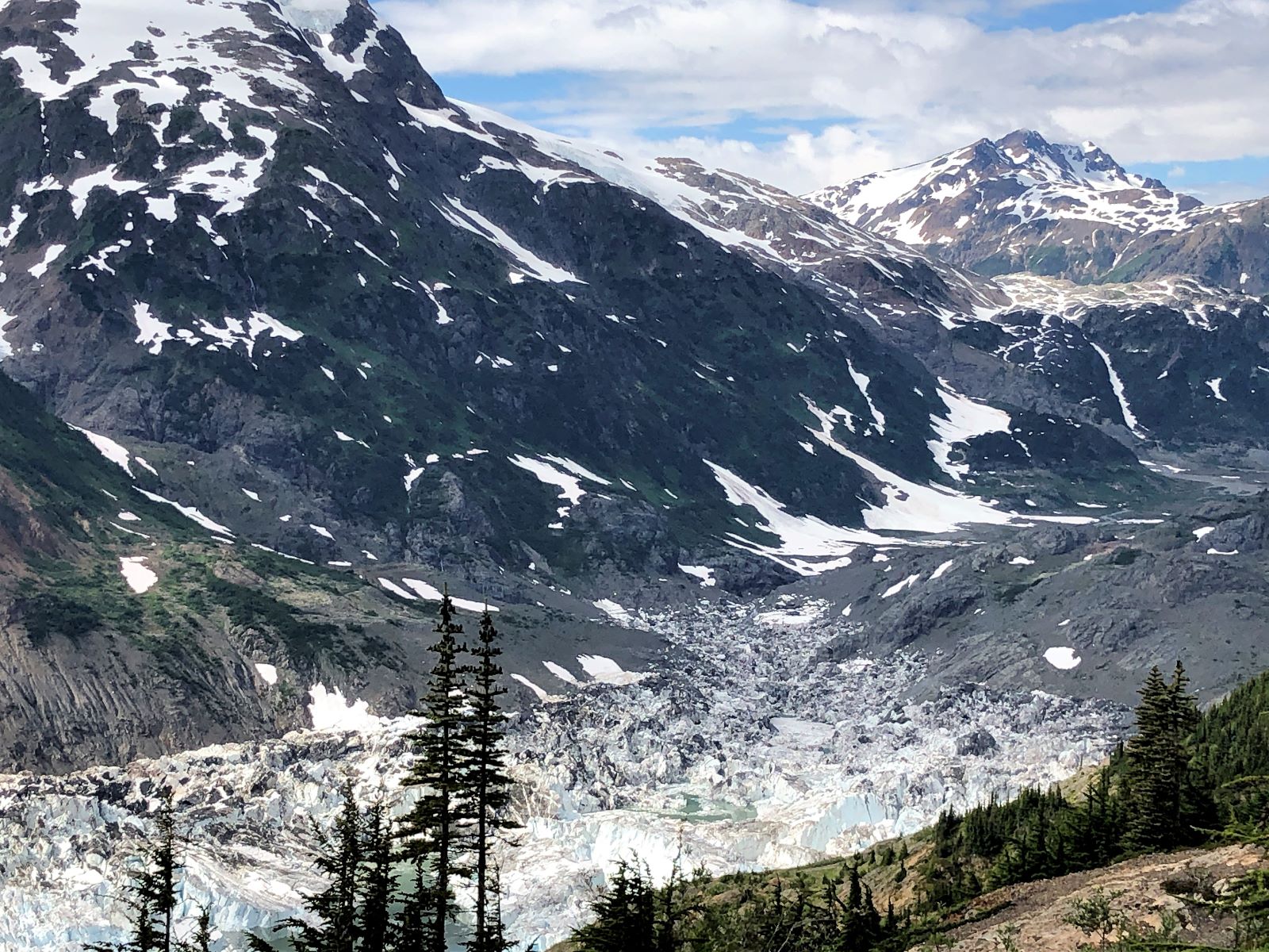
Jim was able to get the Starlink to connect (we are now far enough south!) so Linda was able to finish the last blog and get it posted! This site was much more “roomy” than many of the parks we have stayed at lately. Linda went out to take a photo of the site, but got distracted by the view of the glacier right from our campsite! It may possibly be Salmon Glacier, which we hope to explore tomorrow!
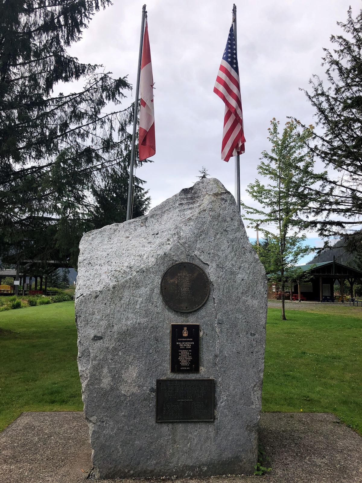
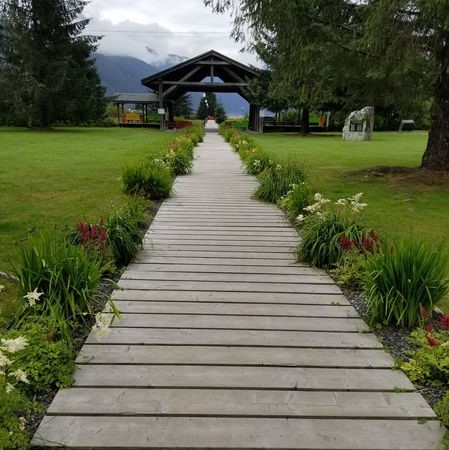
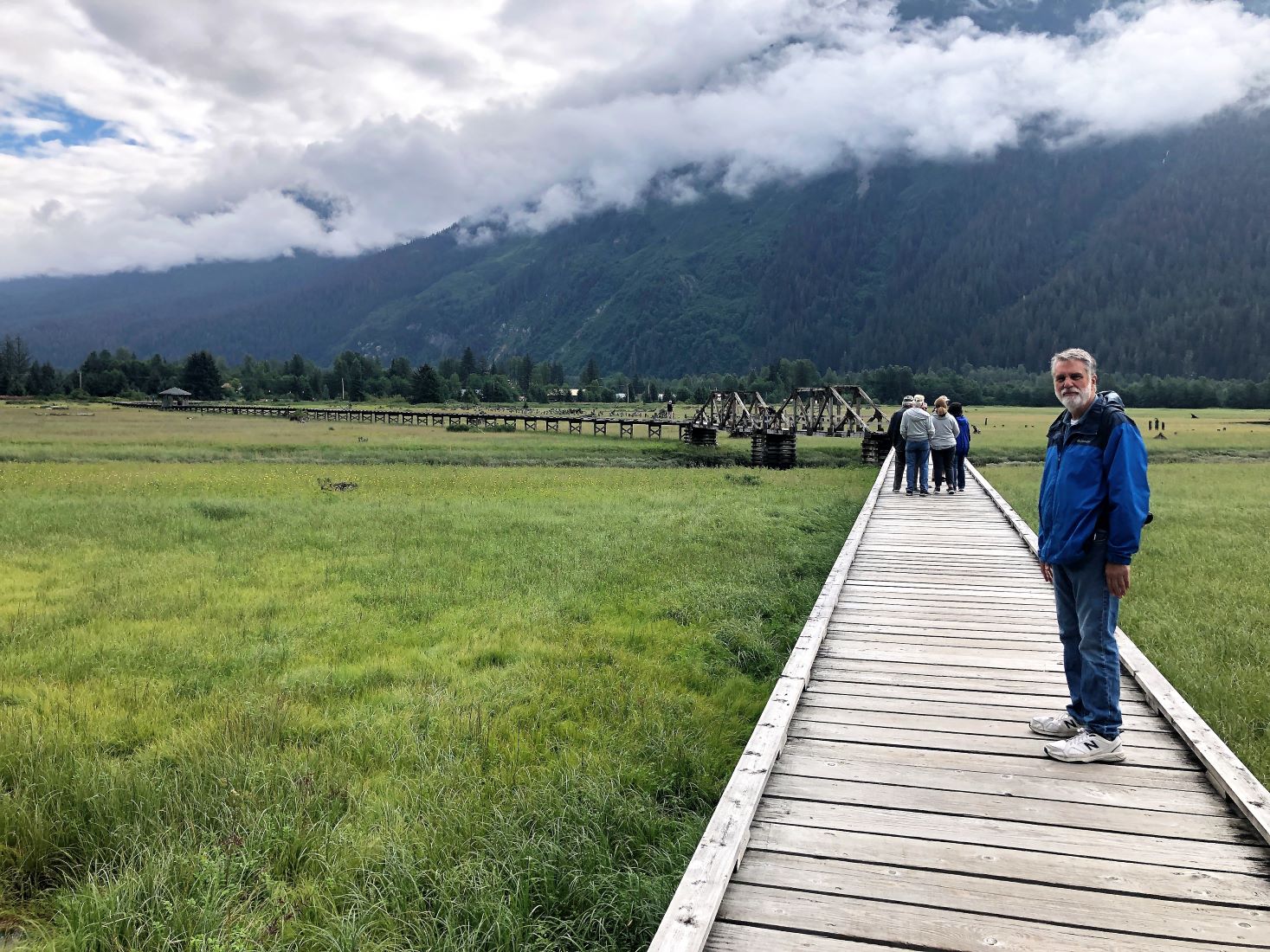
On Thursday August 4 we had a full schedule! After breakfast, our group met up to walk on the Estuary Boardwalk. The first thing we noticed at the park was a WWI and WWII memorial to the Veterans from the Portland Canal District.
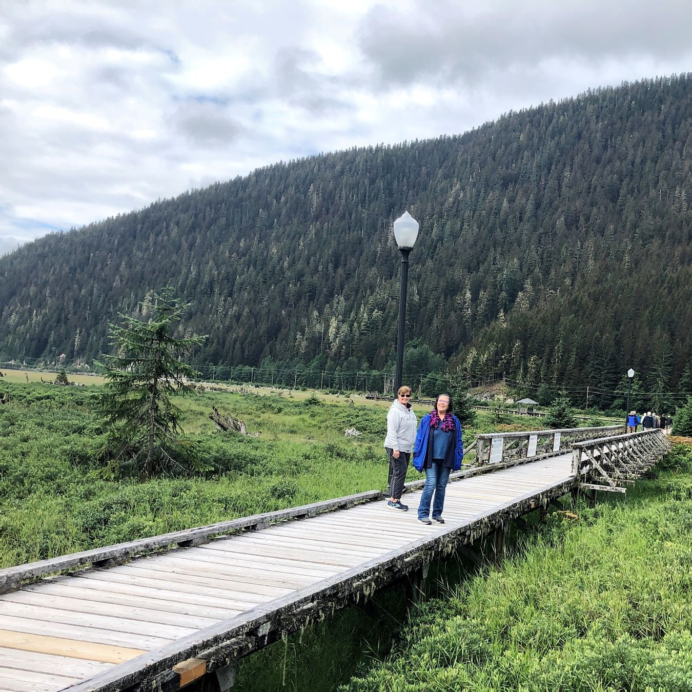
It was a nice day to see the estuary, just a bit cool.
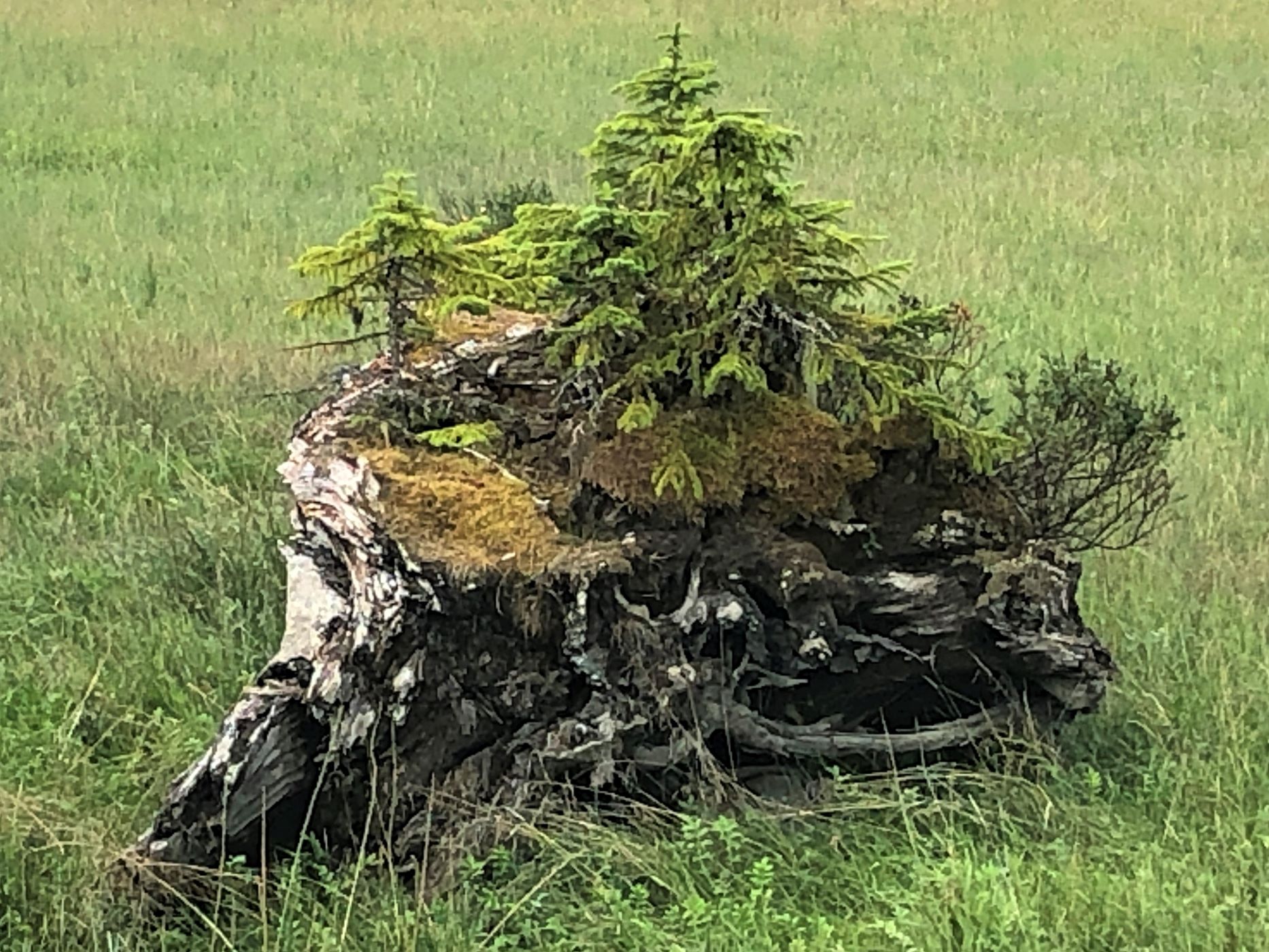
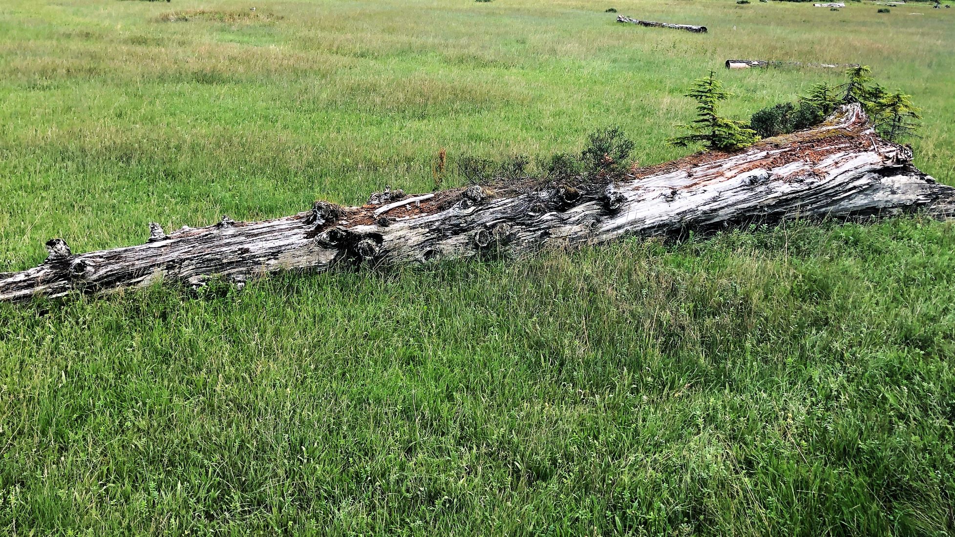
This looked interesting!
As we walked up beside it – totally different look!
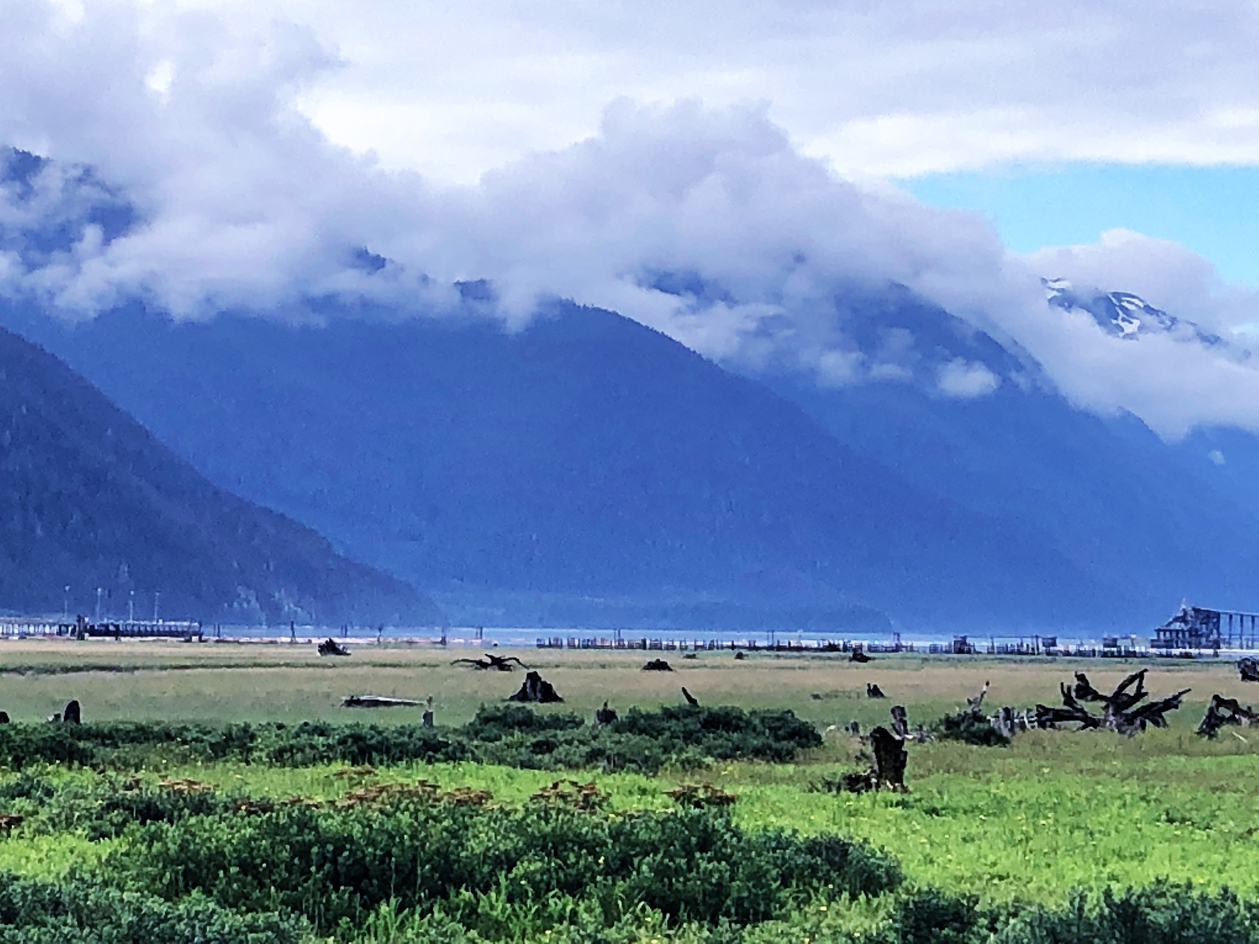
The Portland Canal was just beyond the estuary.
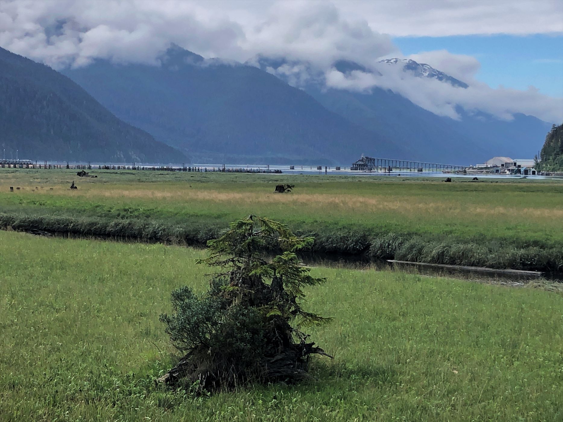
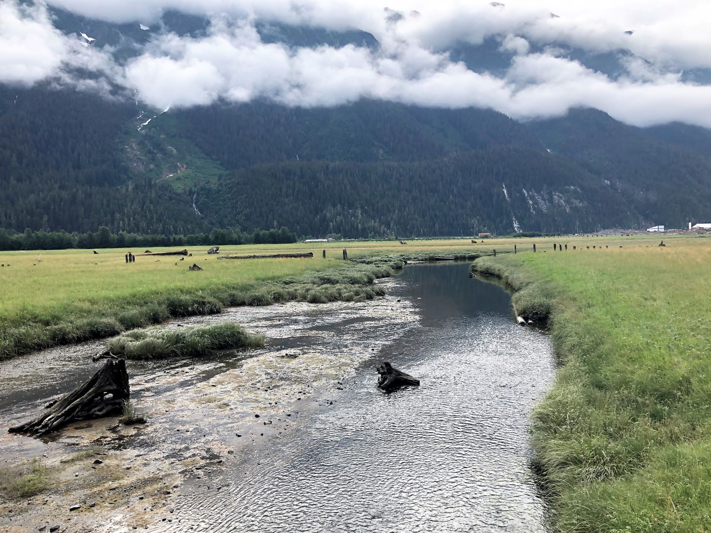
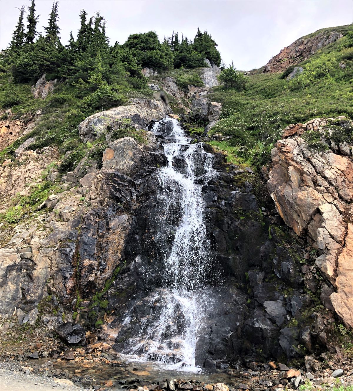
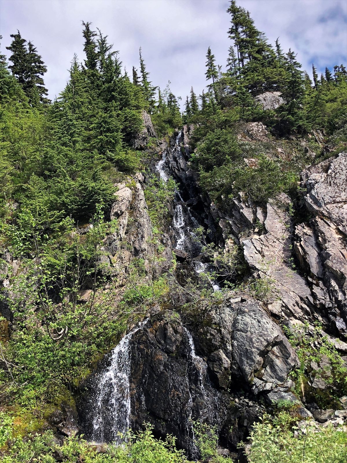
There were a variety of plants, and we could hear a few birds, but saw no wildlife. We could hear a waterfall flowing down the mountain, though it was far off.
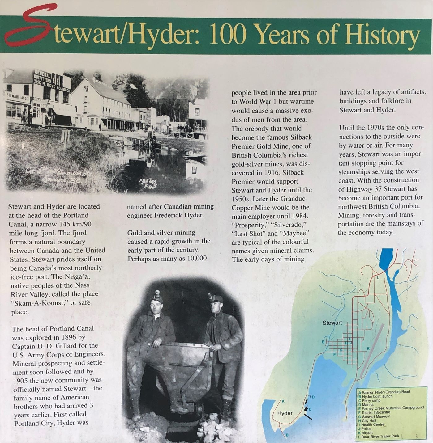
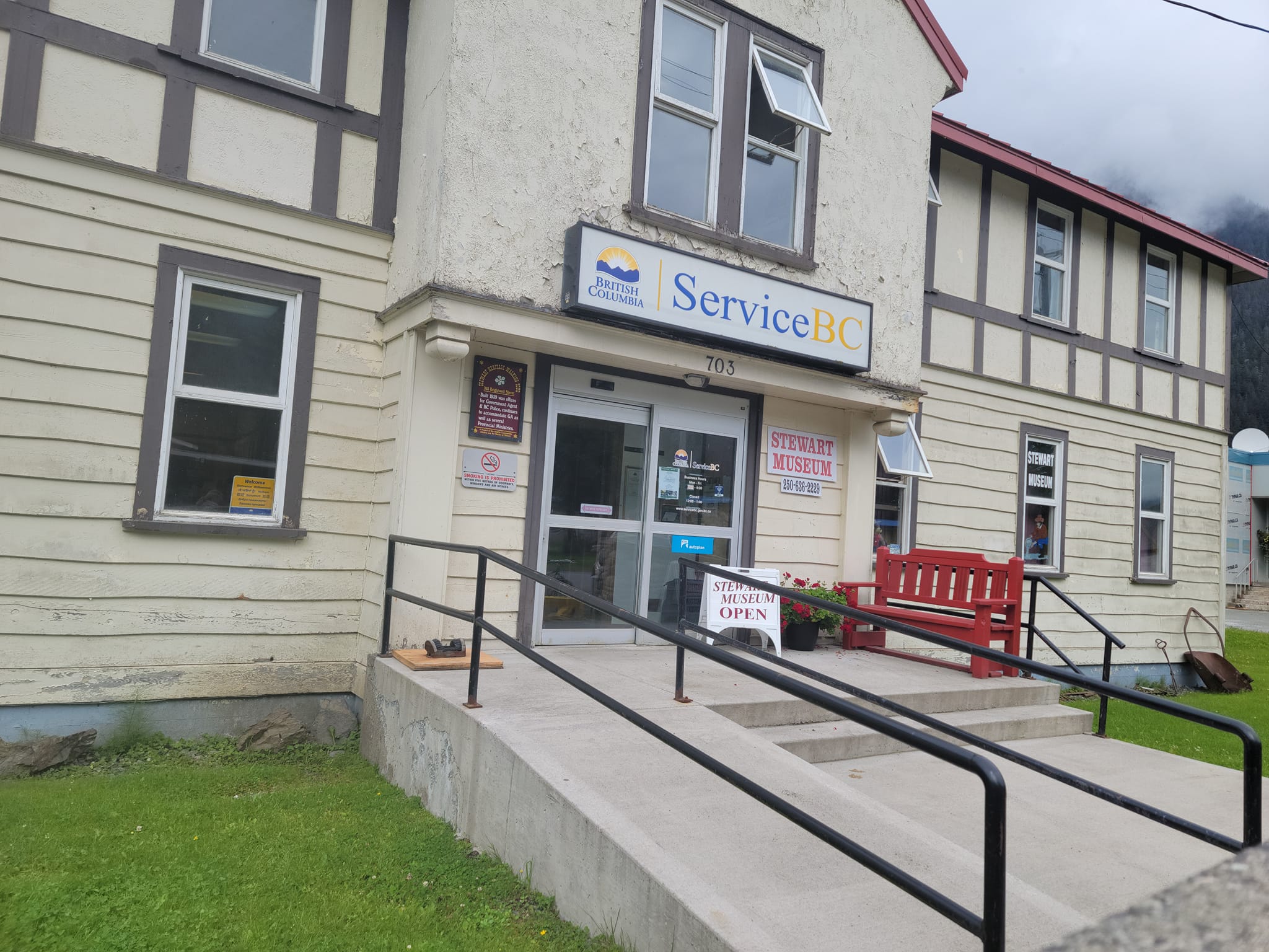
After that we went to the Stewart Museum, and many of us walked there. This board mentions that Stewart is Canada’s most northerly ice-free port. Until the 1970’s when the Cassiar Highway (Route 37) was built, the area was reached only by water or air. It was gold, silver and copper mining that brought people to live in the area, and 10,000 lived there before WWI. Current population is about 500.
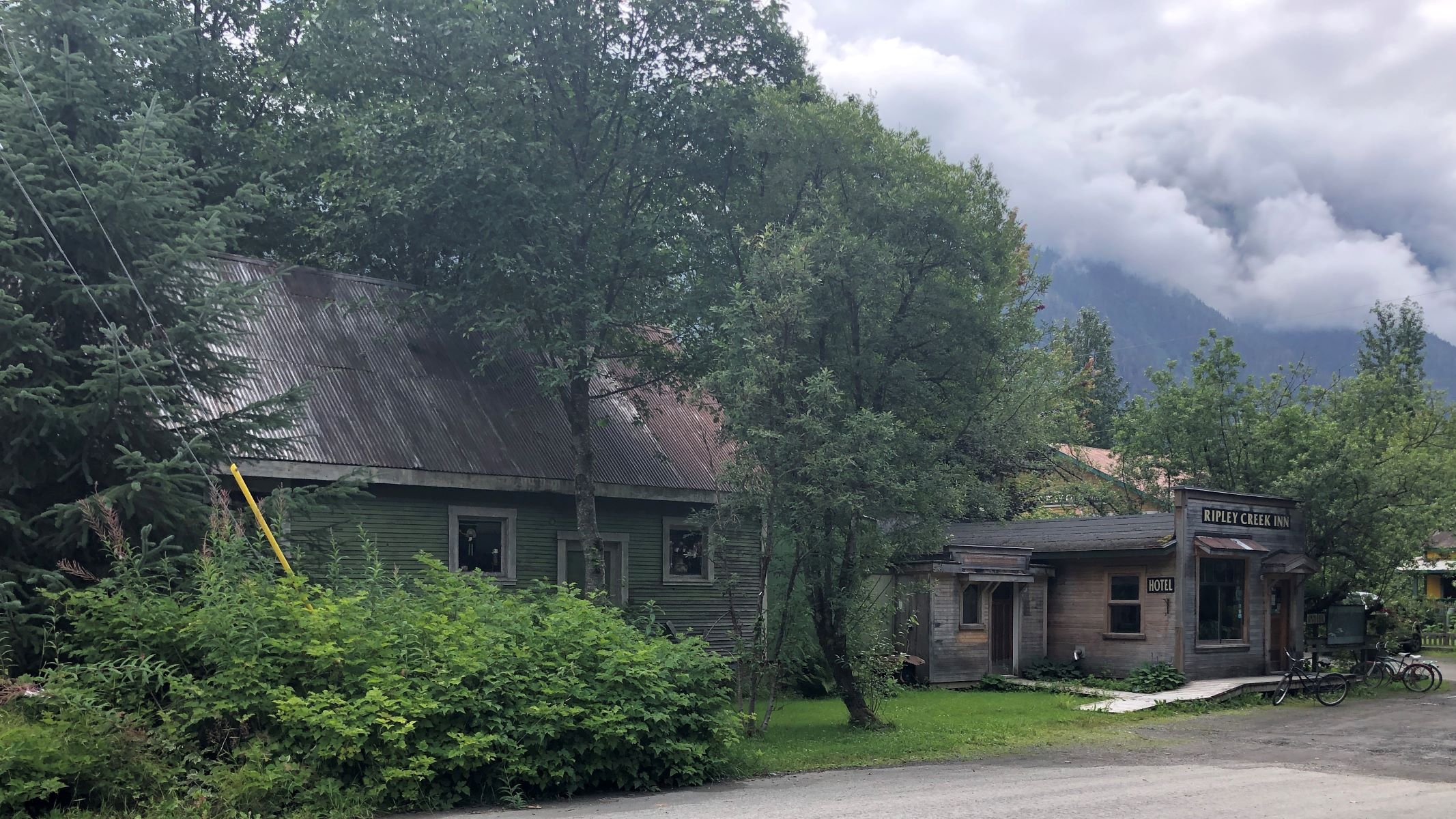
The Ripley Creek Inn is one place you could stay if you came to visit Stewart.
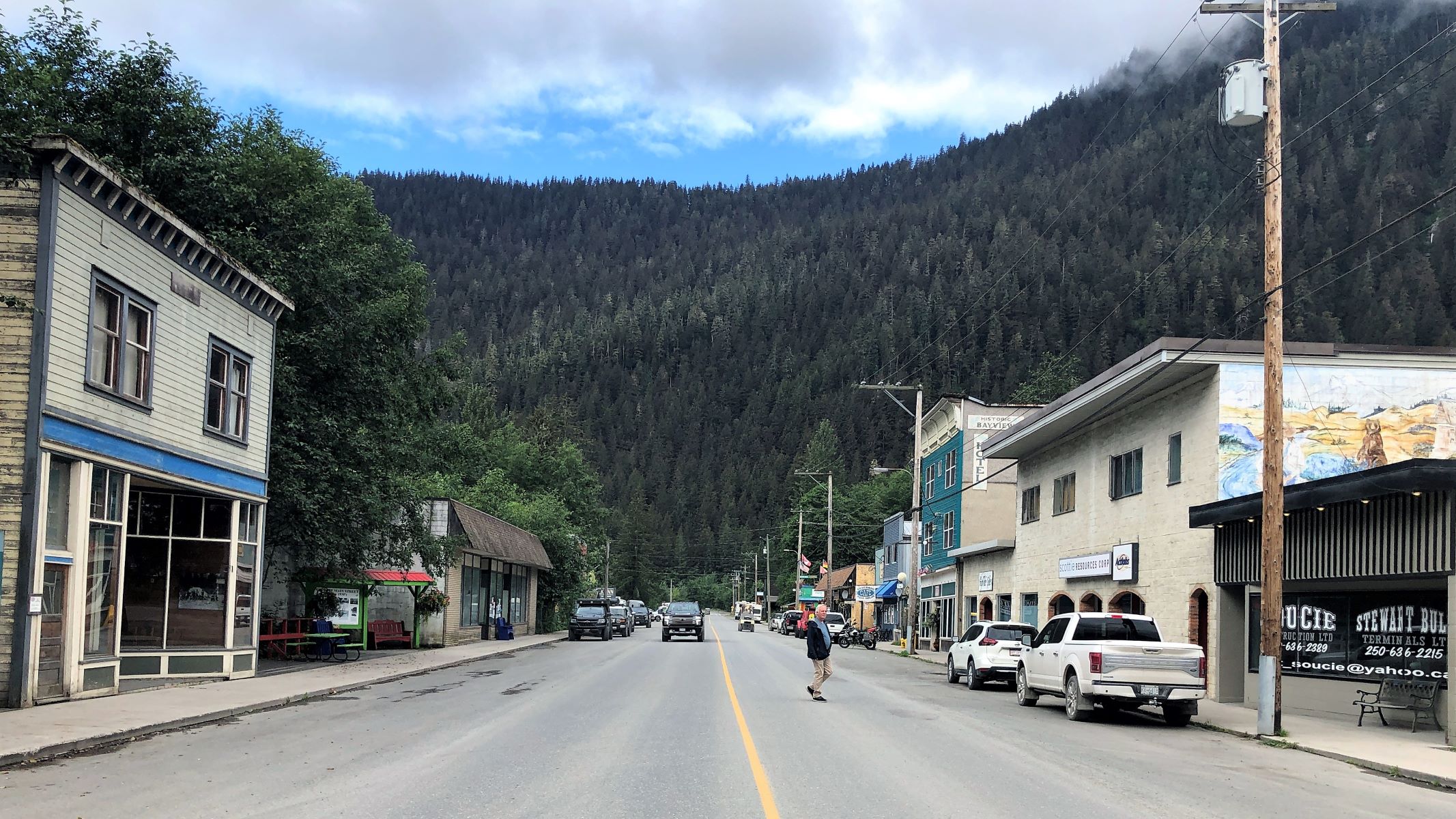
Main Street.
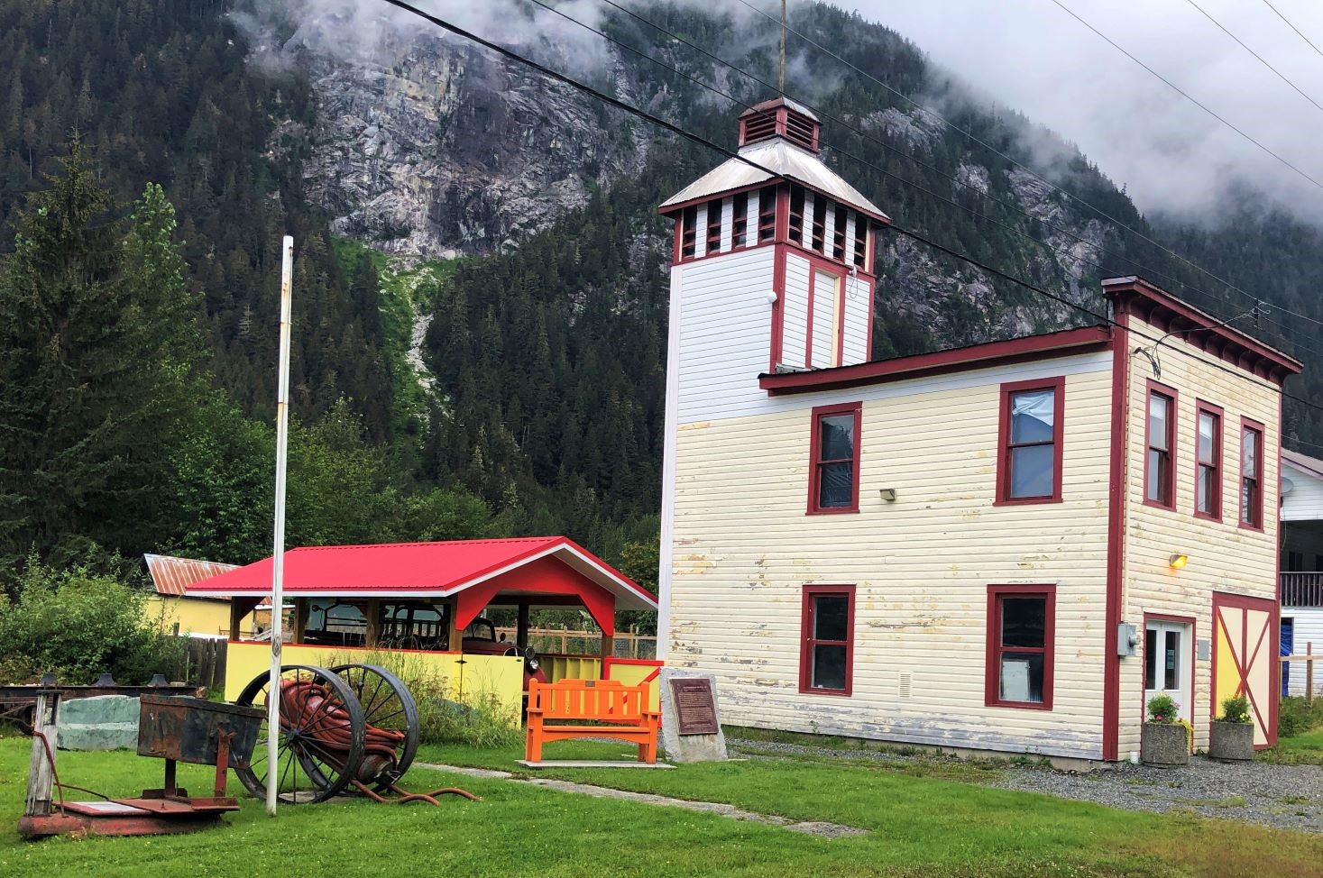
The old fire hall.
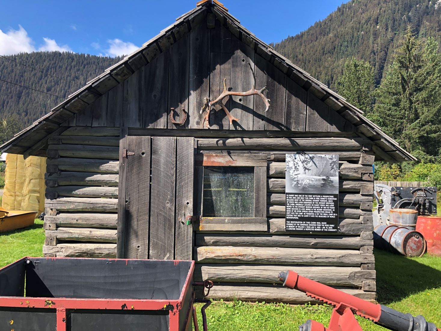
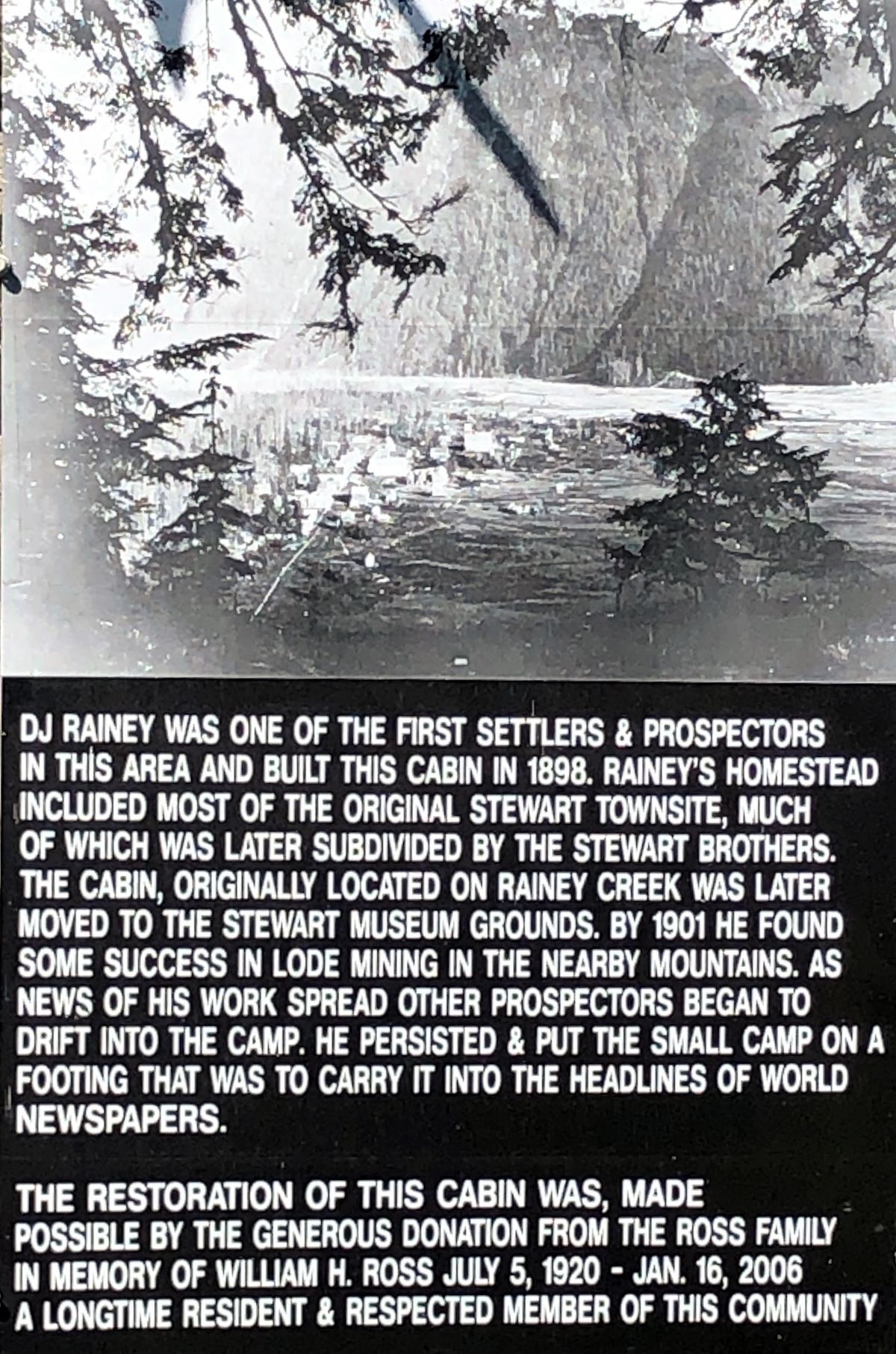
The D J Rainey Cabin.
The Stewart Museum is housed in an former government building with 2 floors and is still home to a couple of government offices.
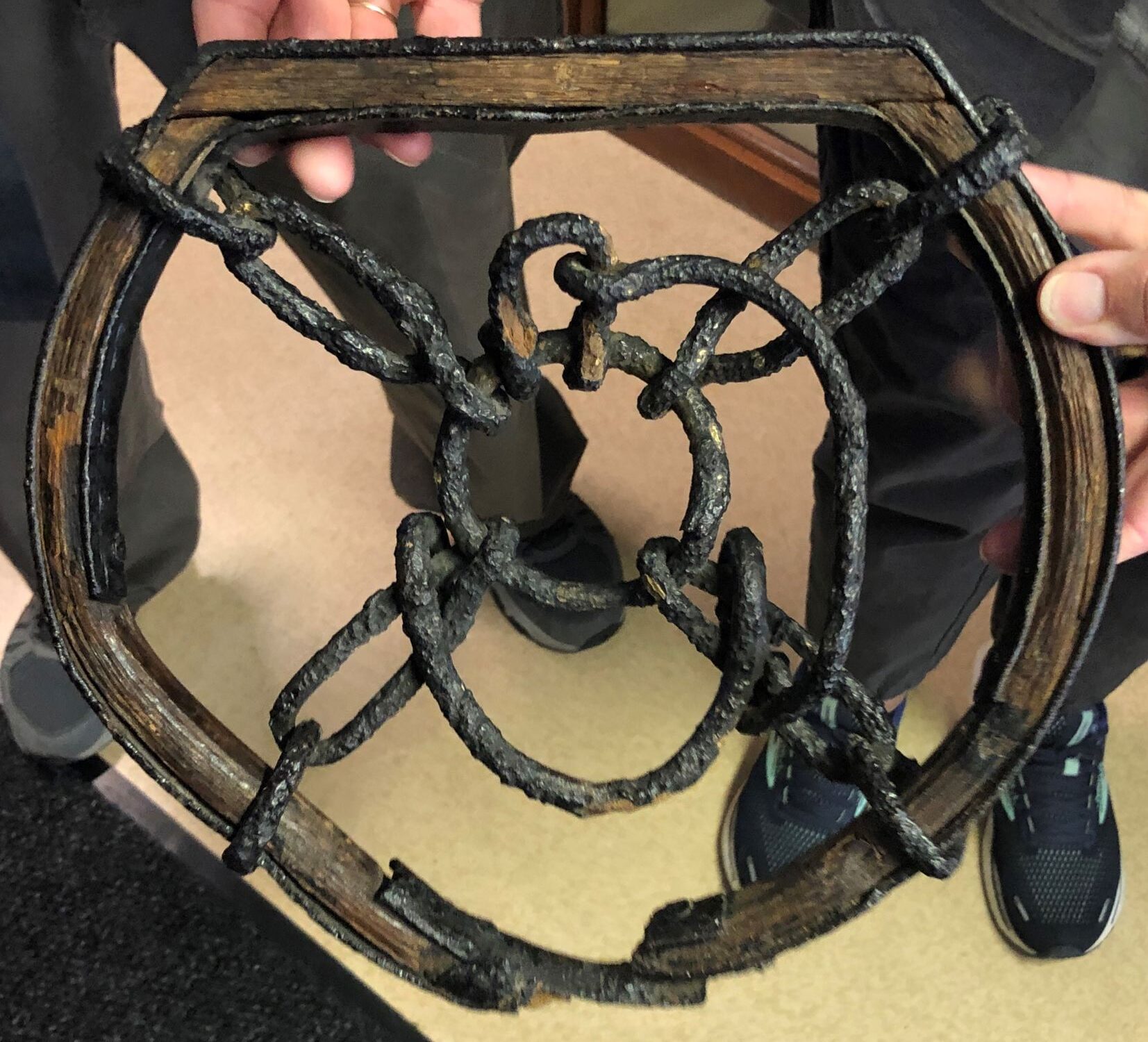
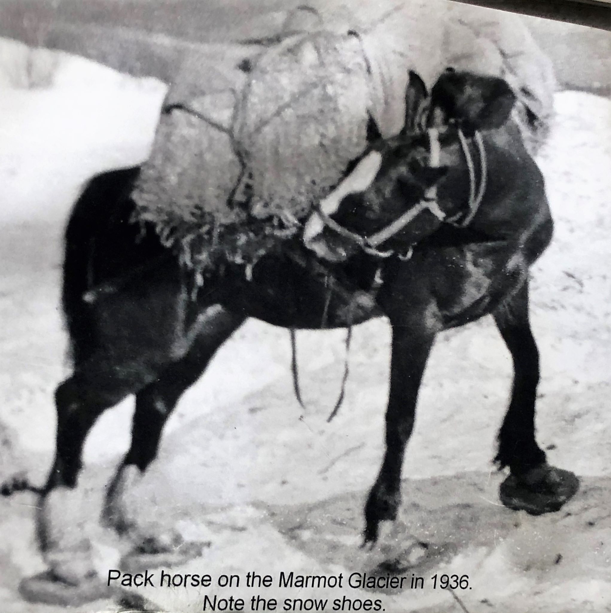
The Civil Courtroom is used only once a quarter and the museum uses it for presentations. There was lots of history of Stewart on display. One intriguing item was this snowshoe for a horse! It must have weighed at least 5 pounds! The straps were not attached to it, so it was hard to tell how it would be put on.
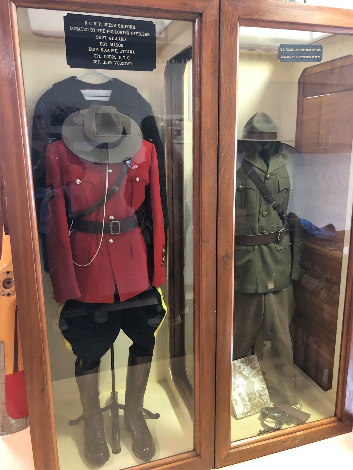
There used to be a British Columbia Police Force, but now all law enforcement is handled by the Royal Canadian Mounted Police. 4 RCMP are on duty in Stewart, 2 at a time – one in the office and one on the road, and they don’t ride horses! They also cover issues that may arise in Hyder, AK and secure the area until US officials arrive.
Stewart had a short line railroad (16 miles of track) for a short time – when the war broke out, the rails were taken up and steel was used for the war effort!
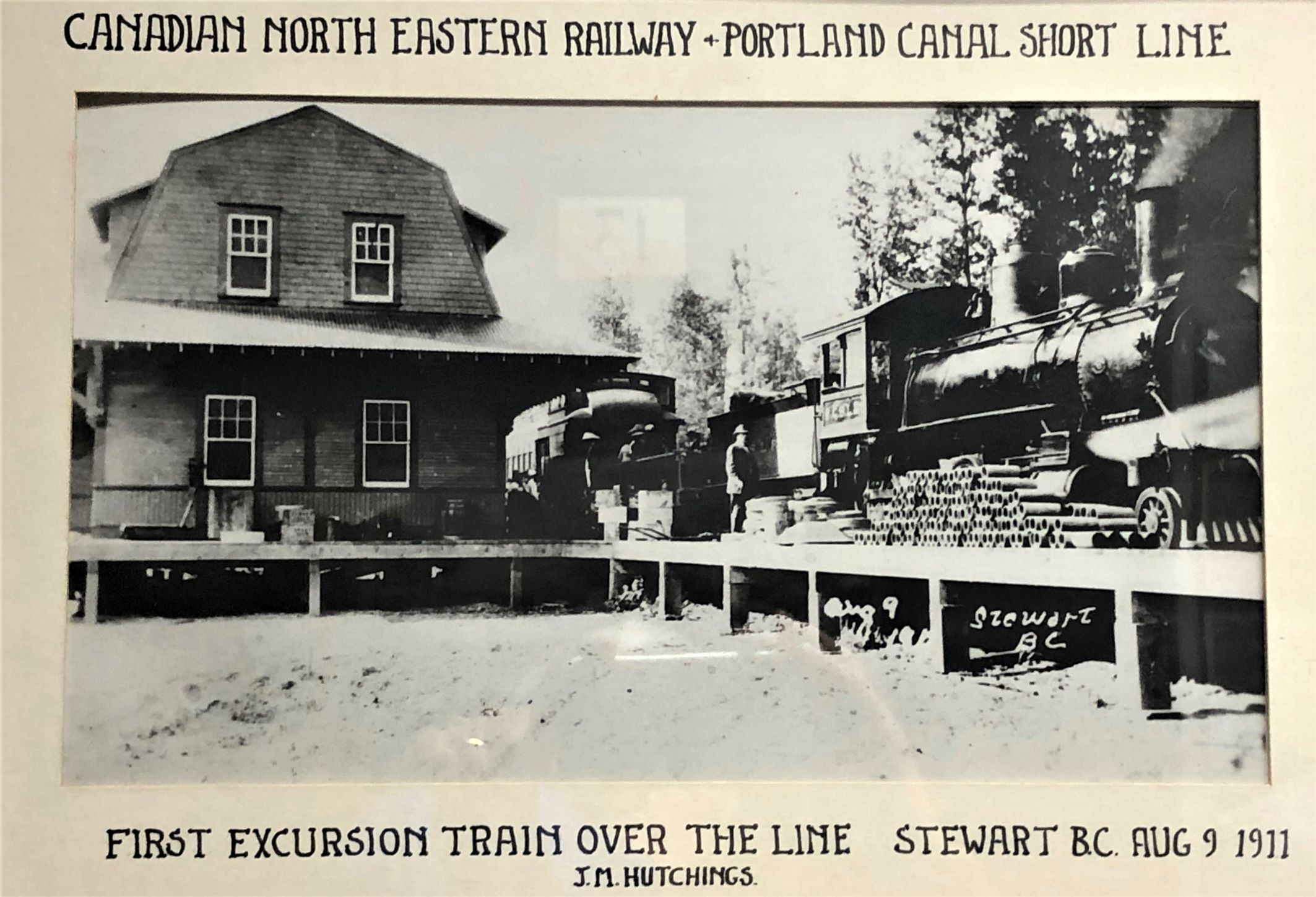
The tracks went out to the canal where it could connect to marine traffic – Stewart’s only connection to the outside world at the time!
Ever seen a 2-man chainsaw?!

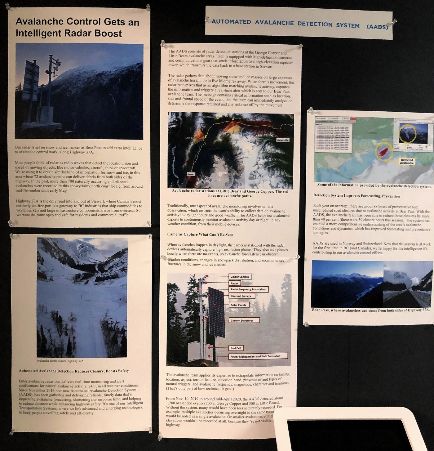
The museum also houses an office for avalanche control. After an avalanche in 1965 killed 26 miners at the Granduc Work Camp near Stewart, they decided some preventative measures were called for.
Nice taxidermy job on this wolverine –look at those teeth!
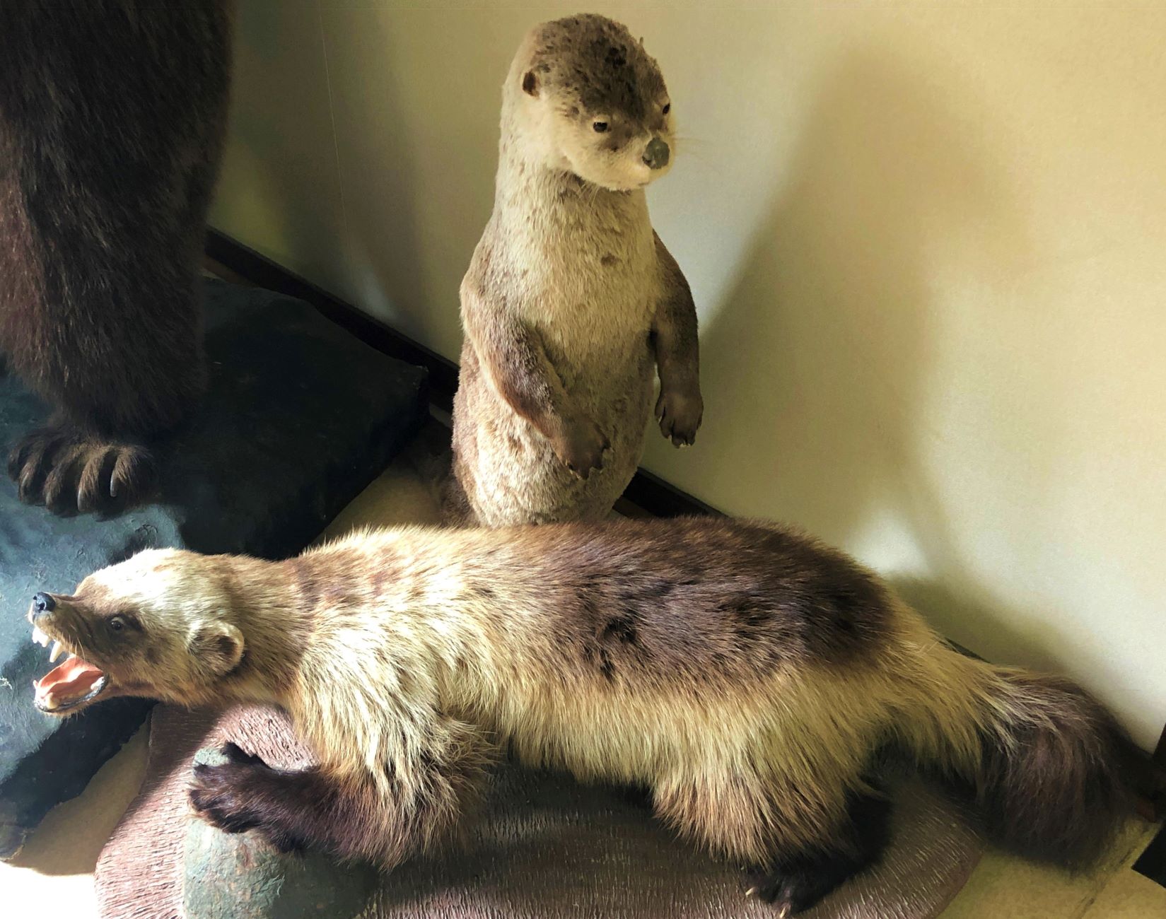
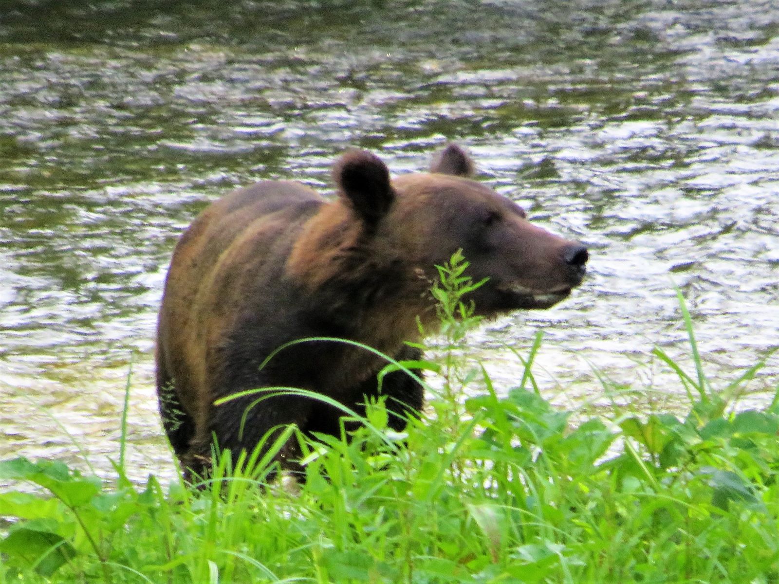
What did you say? Is there really a bear behind me?
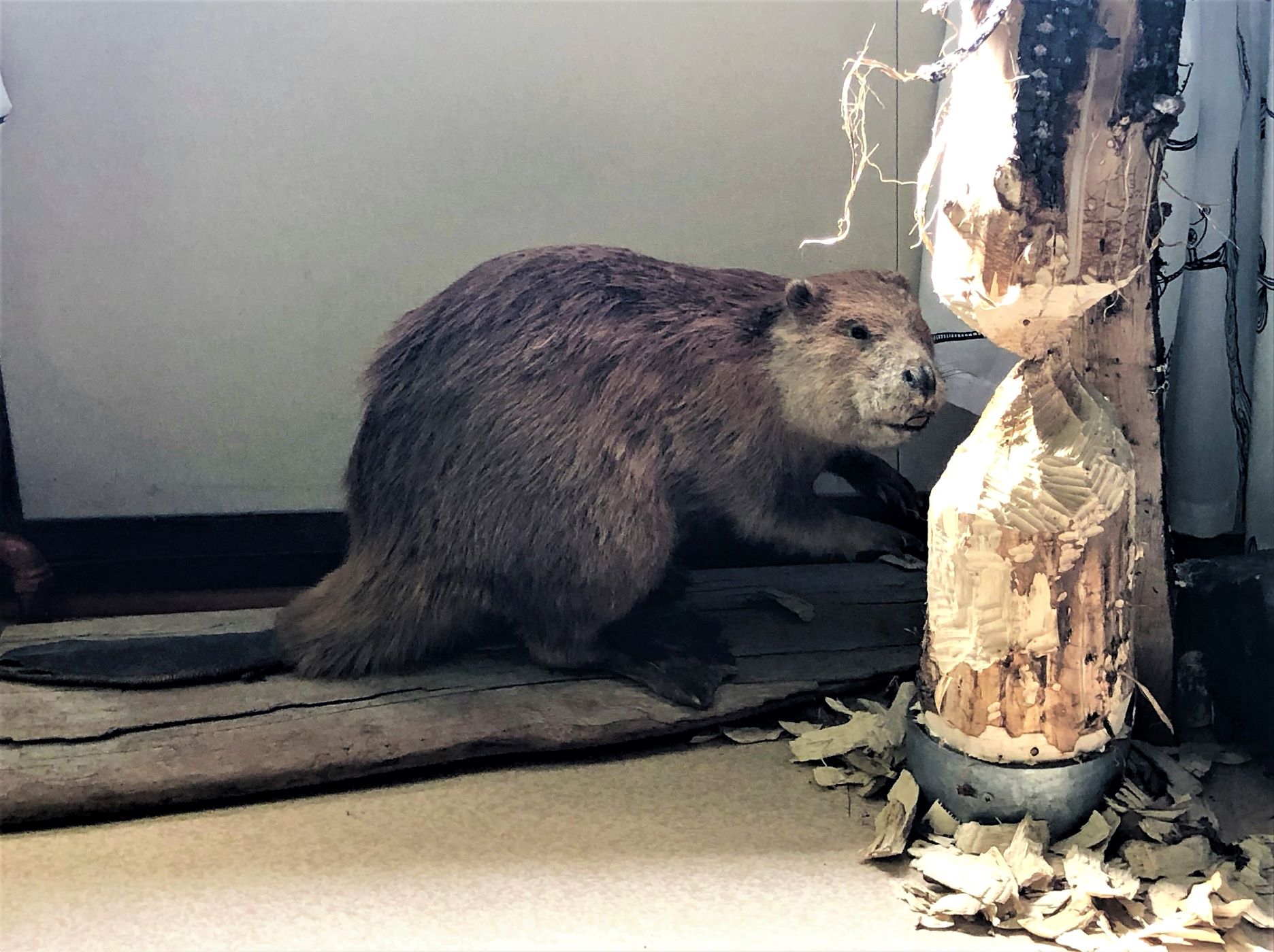
This beaver has been busy!
As mentioned previously, it was mining that brought people to Stewart.

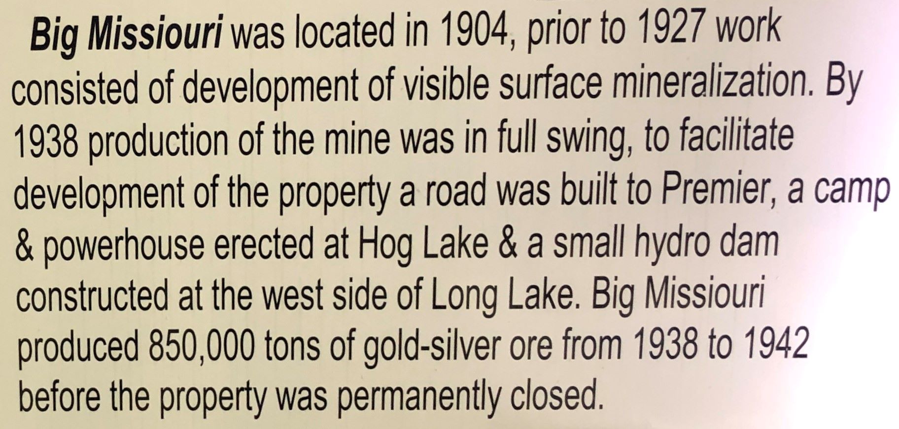
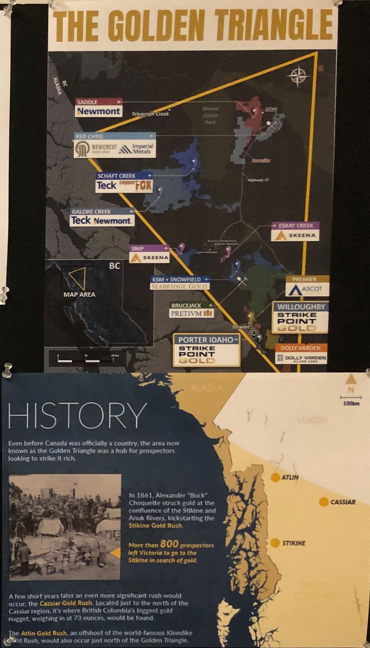
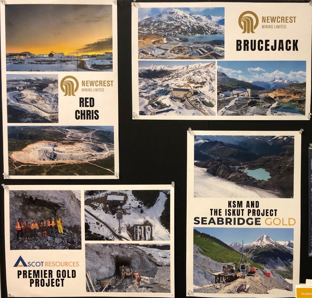
There is still a LOT of gold near Stewart; the Brucejack mine is still producing gold and silver. The mine is Australian owned and it is believed there is still billions of dollars in gold to be mined! With the price of gold at $2000 (US) per Troy ounce, it is worth the effort! This project operates all year; smaller mines don’t usually close in the winter.
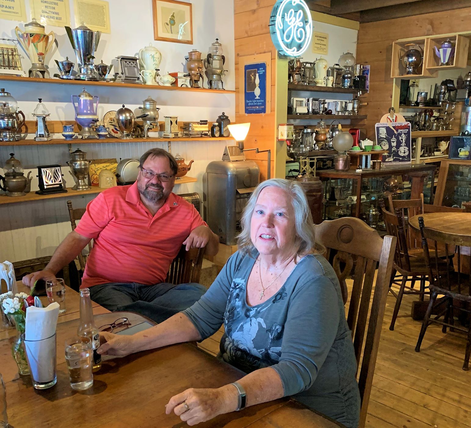
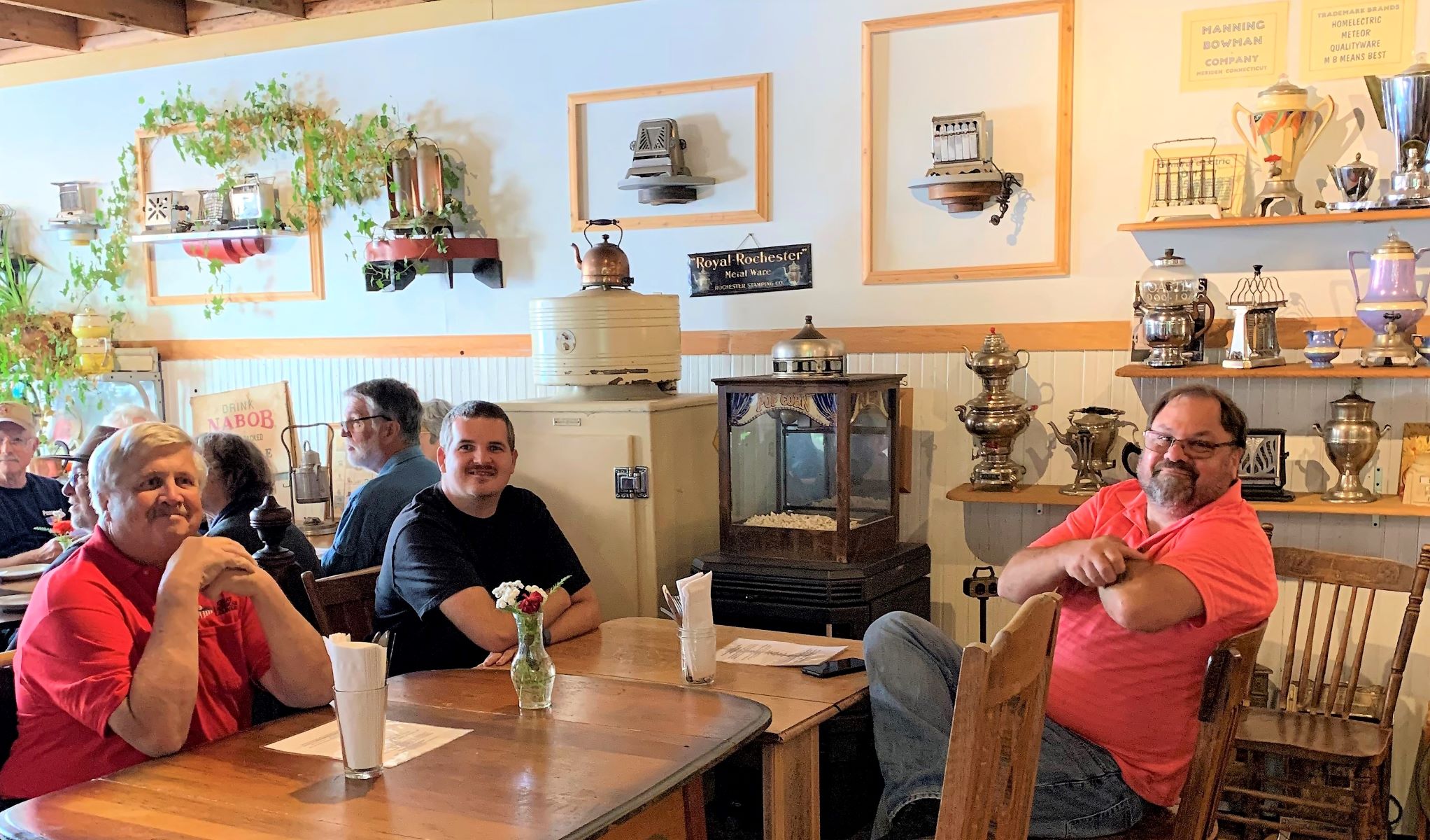
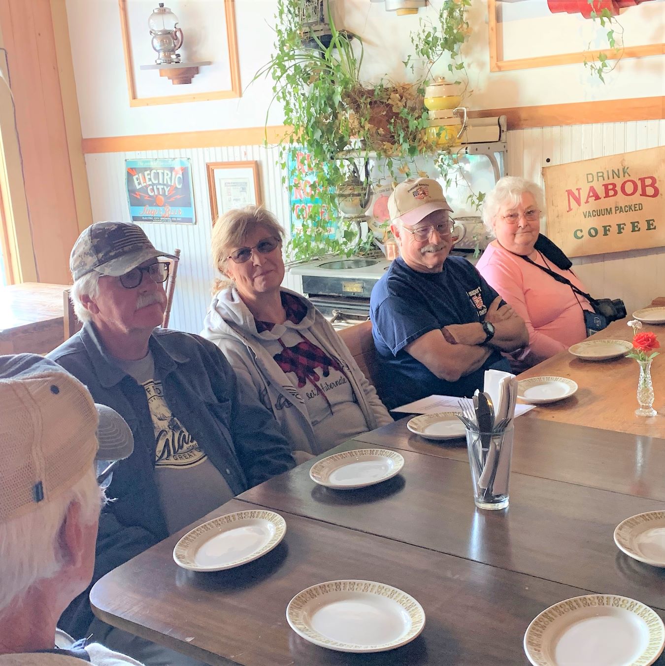
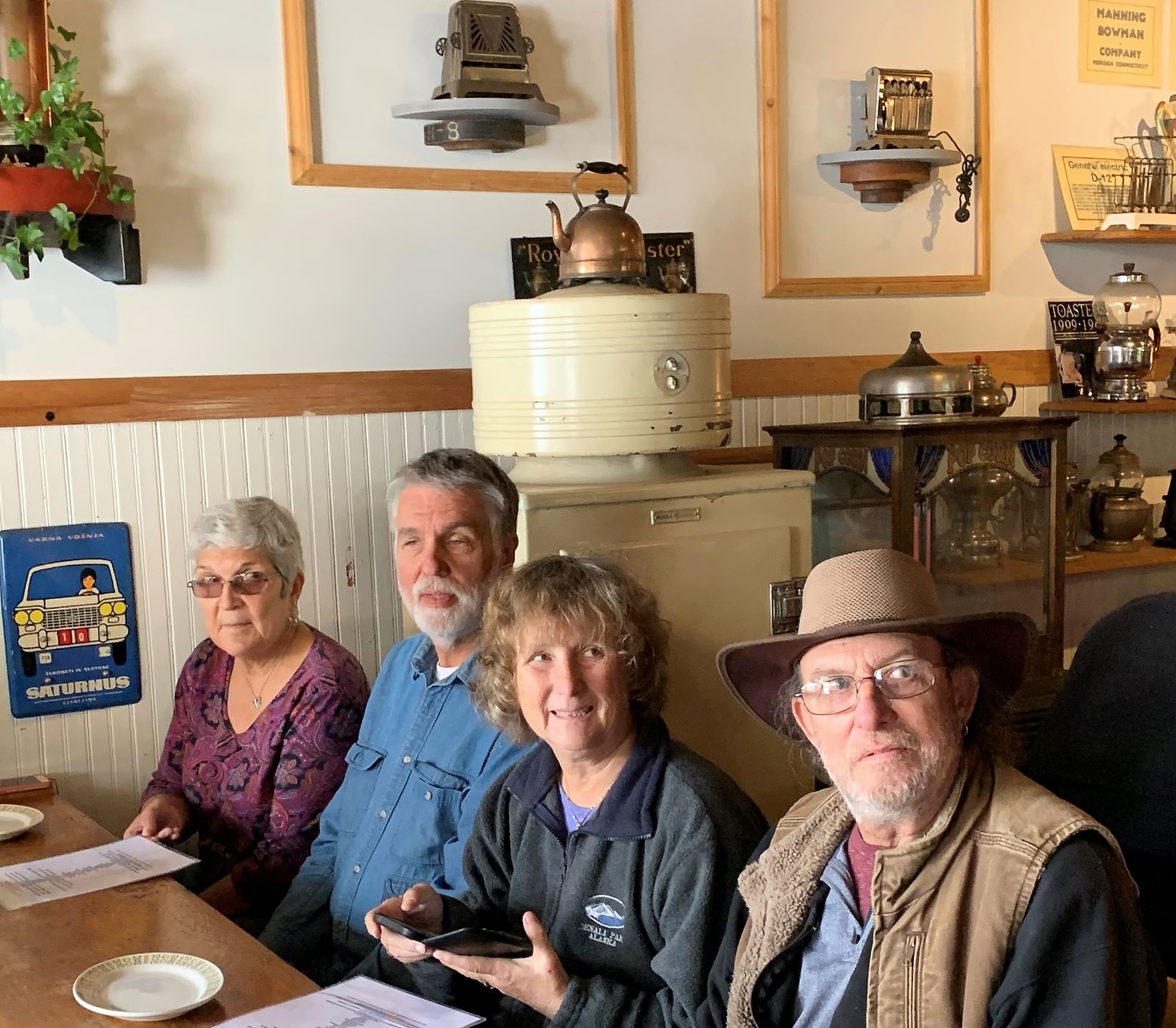
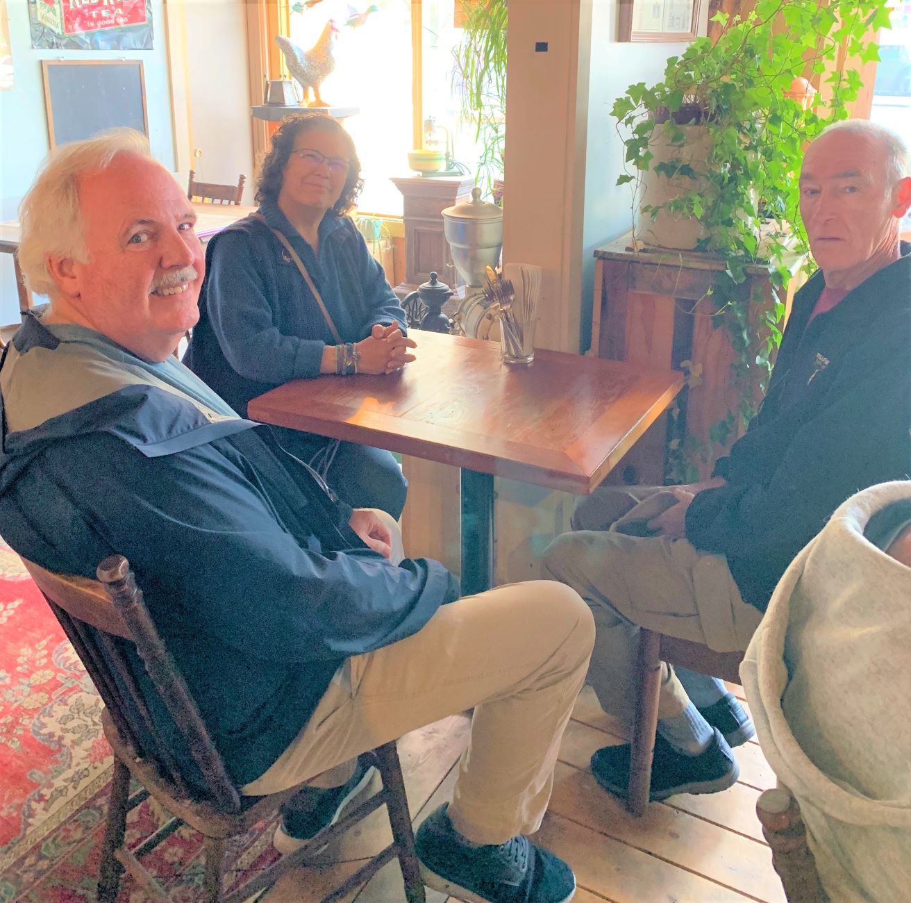
After visiting the museum, we had lunch at Toastworks in Srewart. This place is a museum as well as a restaurant with collections of all sorts of things!
There were a variety of teapots on display.(Thanks to Carol for the photos!)
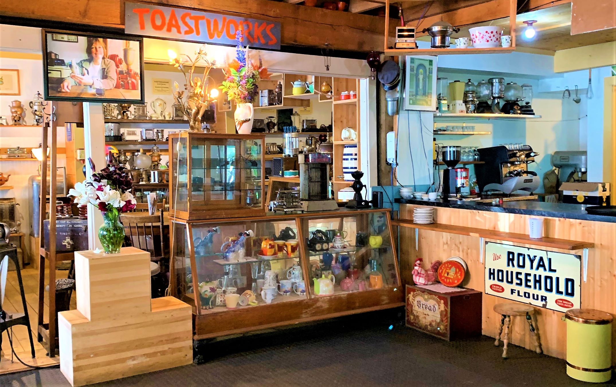
And toasters!
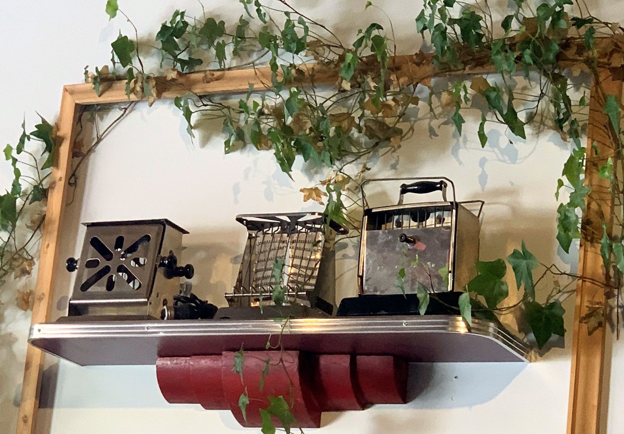
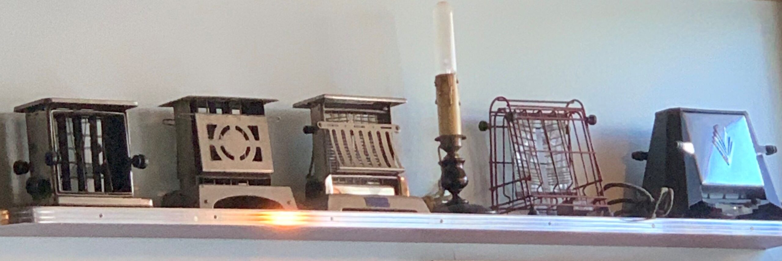
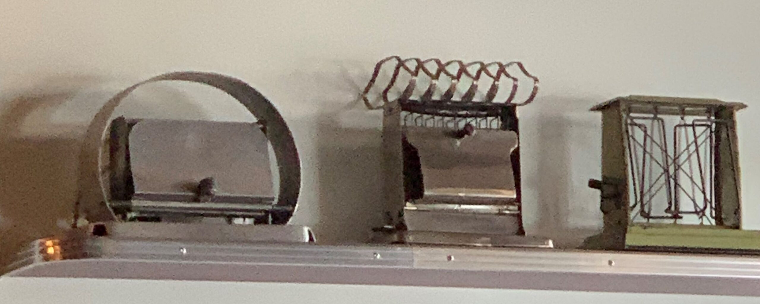
An eclectic collection!
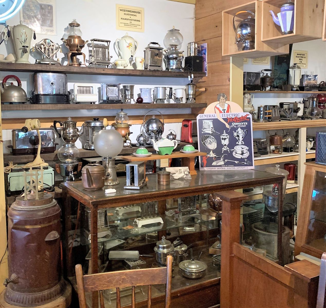
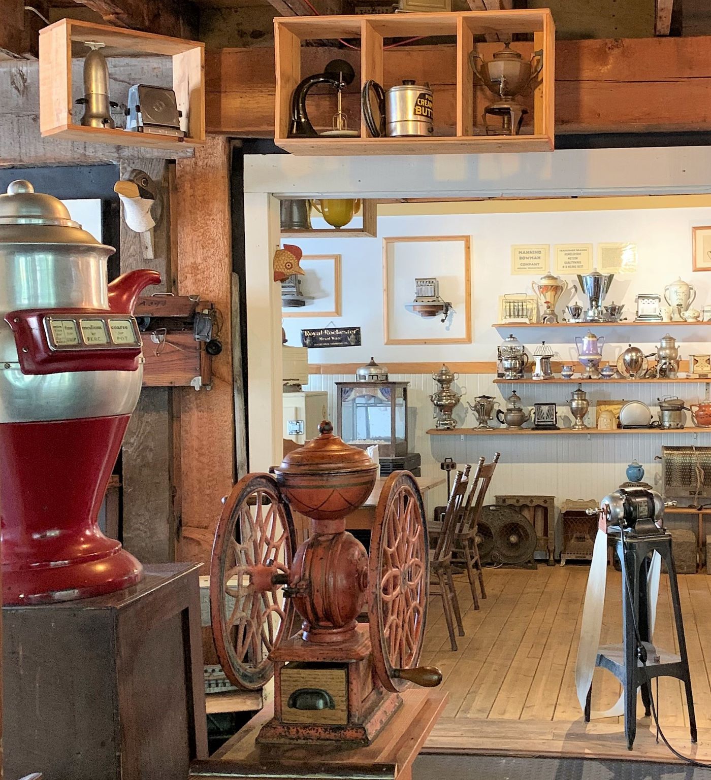
We had a delicious lunch at Toastworks

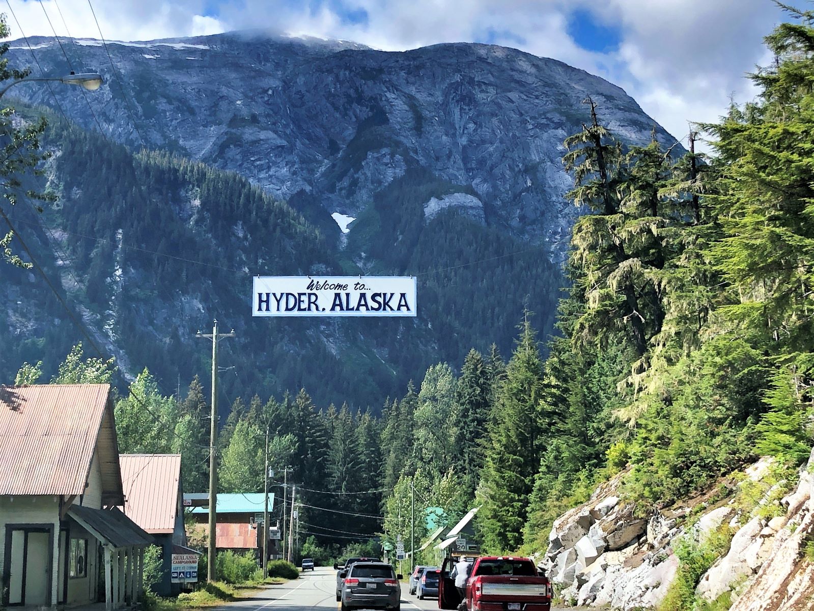
After lunch, we crossed the border into Hyder, AK we stopped at a stop sign at the border – maybe they take a photo of the tag? There is no US Customs on the way to Hyder! But you do have to stop at Canadian Customs on the way back…
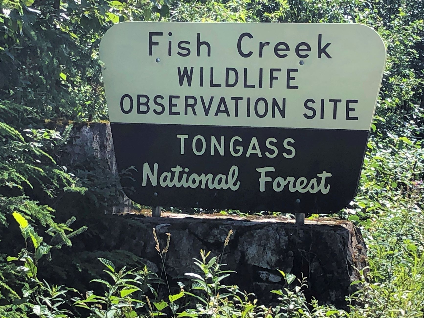
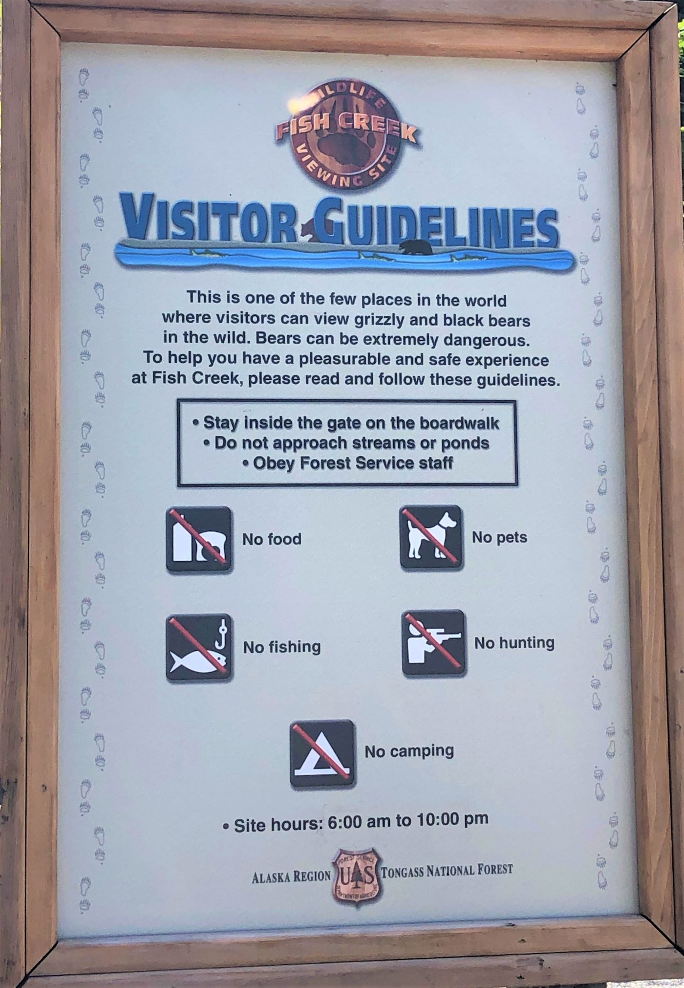
We soon arrived at the Fish Creek Wildlife Observation Site.
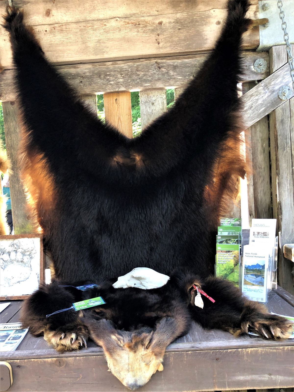
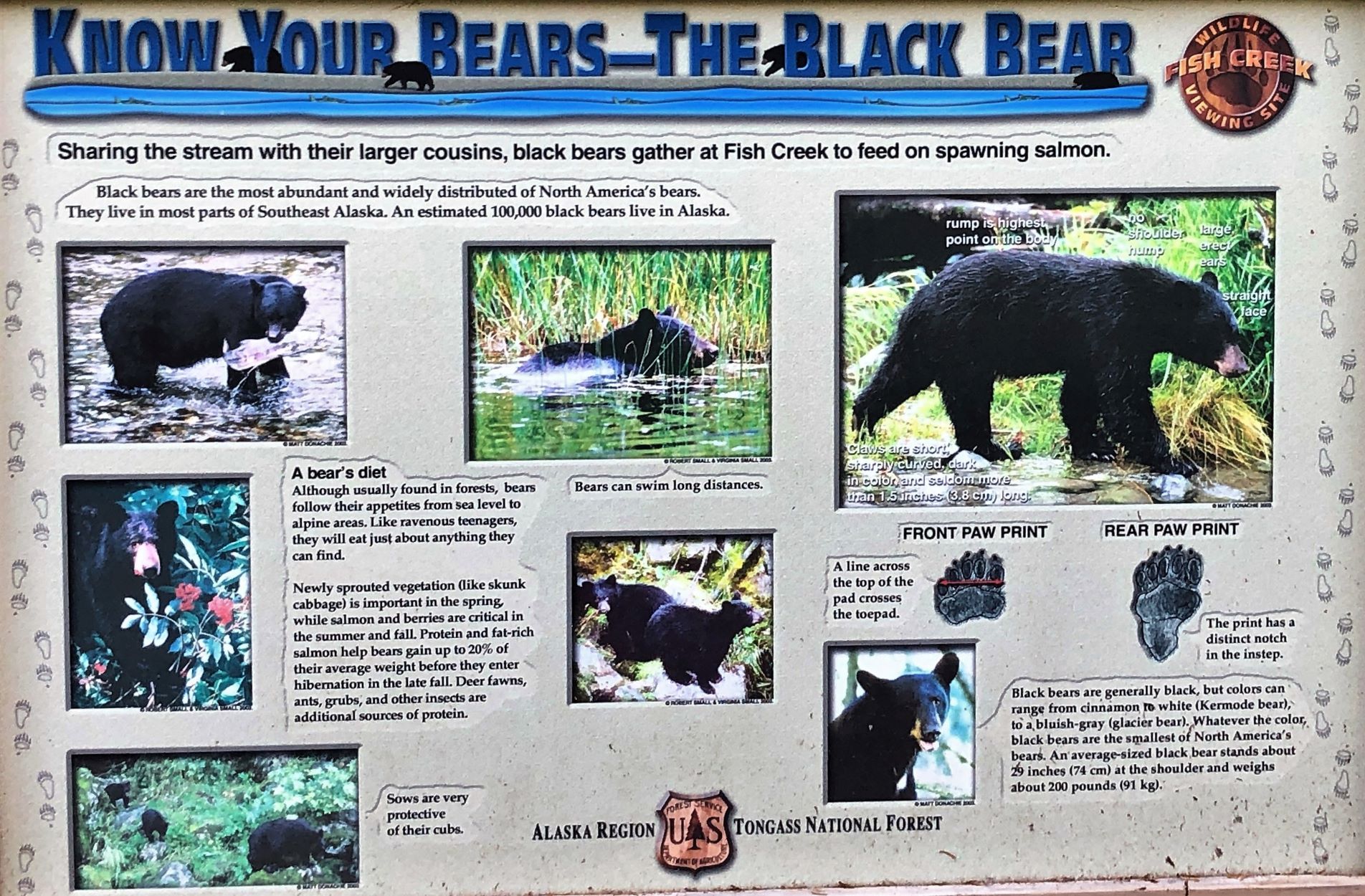
These bear skins were interesting – with a skull on top. This is a black bear skin.
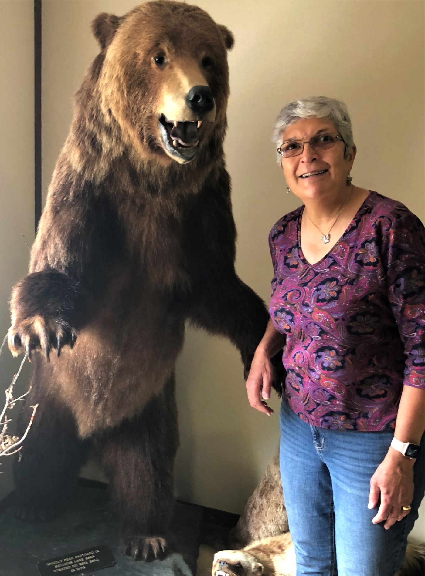
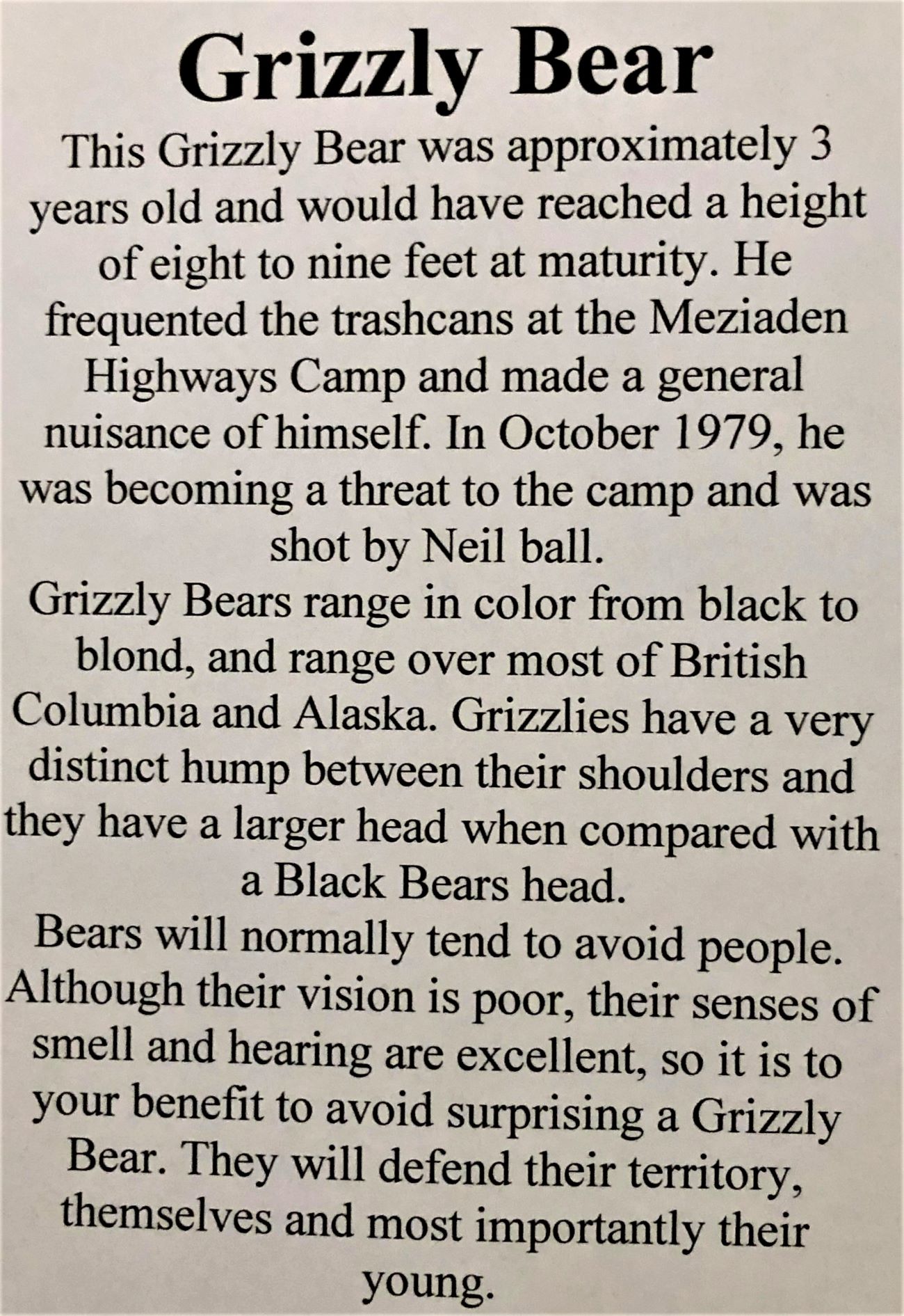
And a grizzly bear – notice the cast of the paw print!
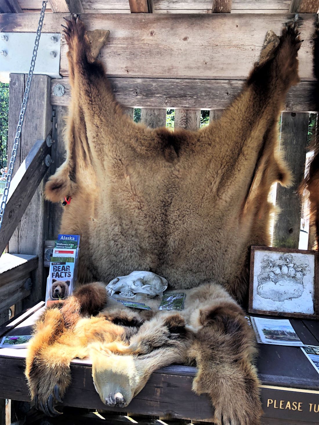
Know your bears!

There was a boardwalk with high sides on it to keep us safe from the bears.
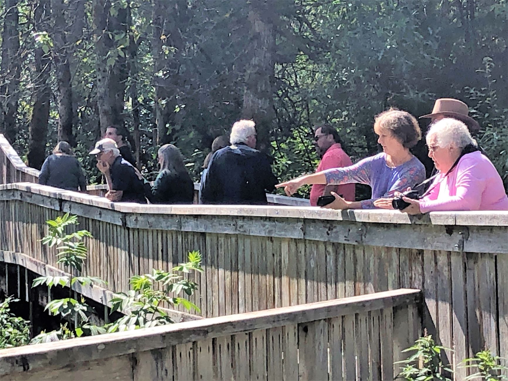
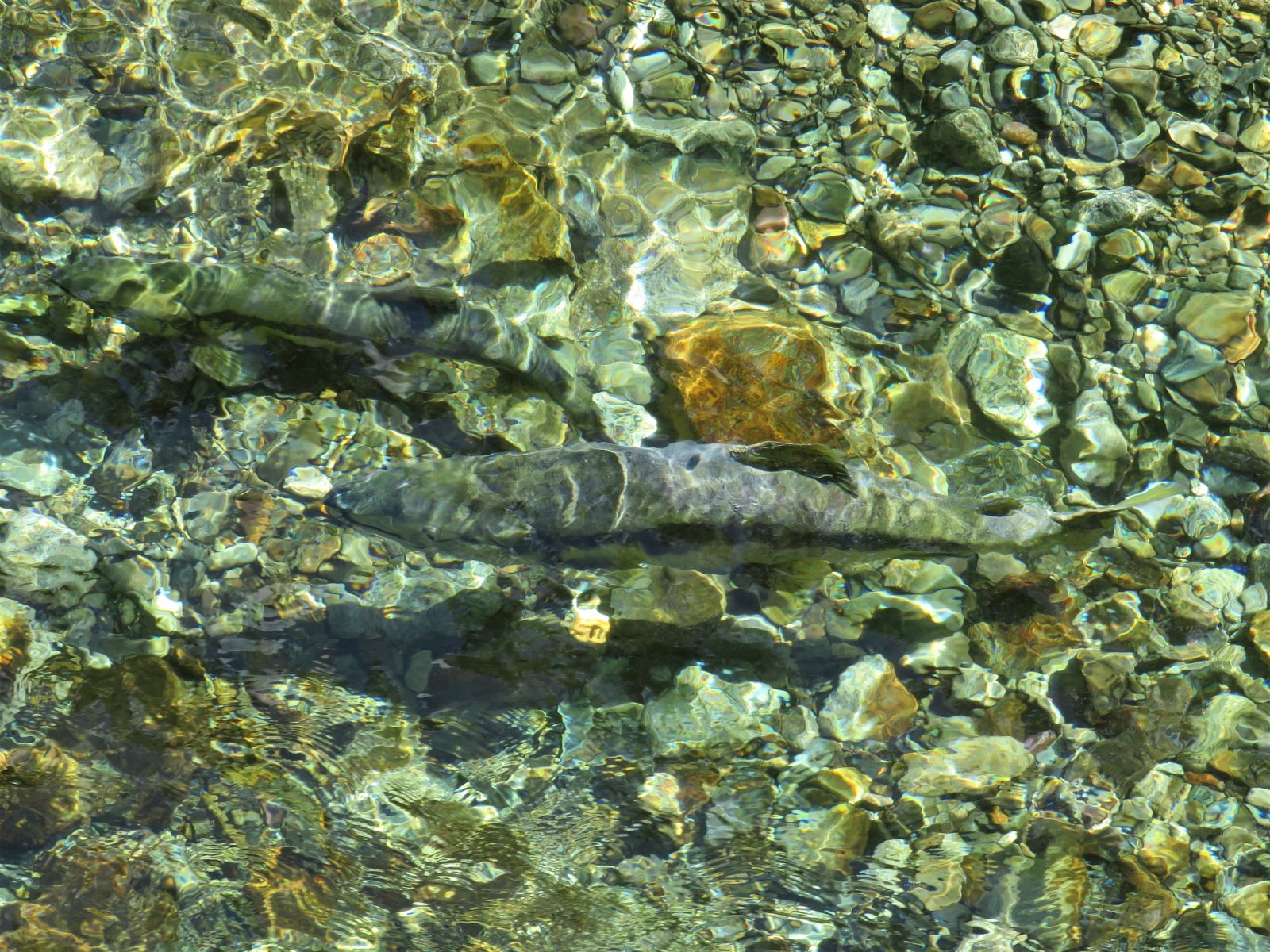
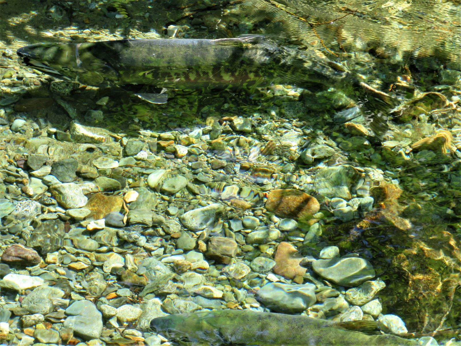
It gave us a good view of the creek and the salmon swimming and spawning there.
Walking down the boardwalk, another creek was off to the right; we turned around to see this beautiful sight!
Without a zoom lens as in the above photos the view with your eyes is more like this.
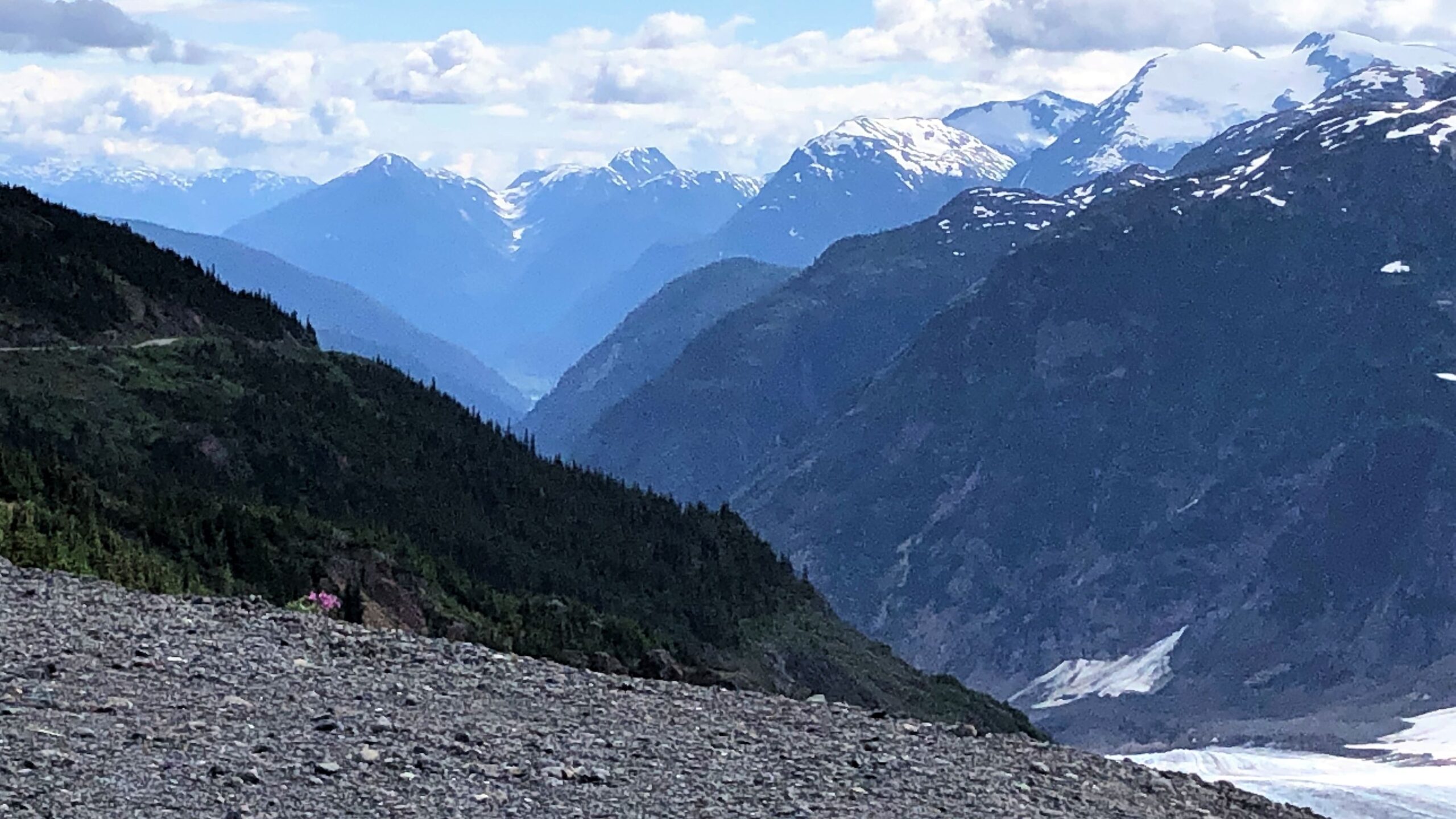
We drove up the road to see salmon glacier – its about 15-20 miles from Hyder and it was a clear day.
As we drove on, we got a glimpse of the foot of the massive glacier.

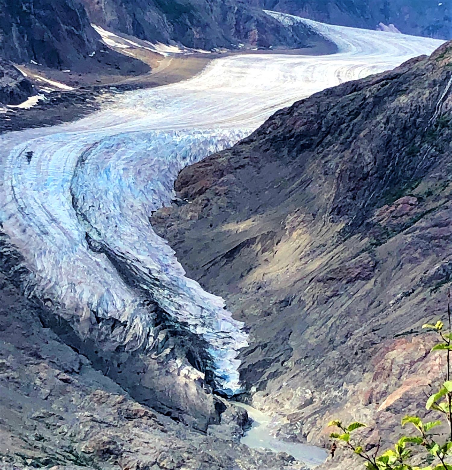
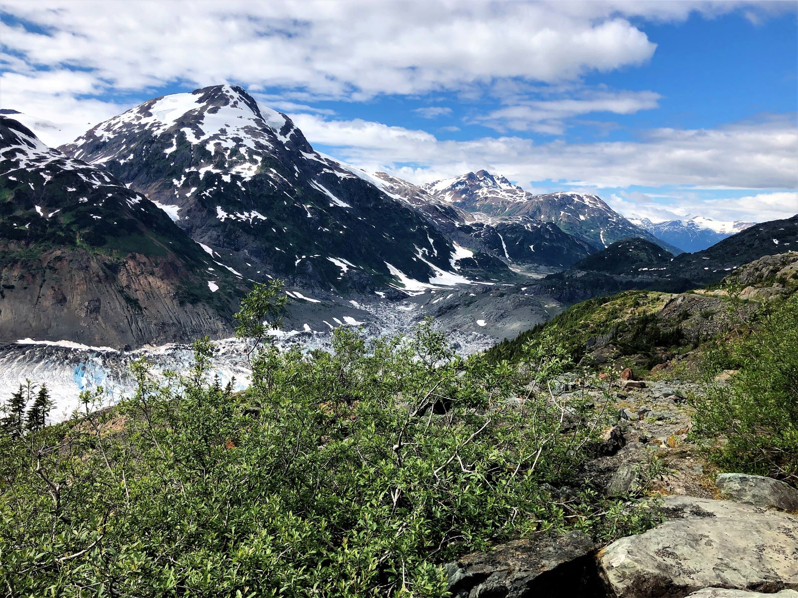
We got to a viewing point at the top – or as far as we wanted to drive on the TERRIBLE road – full of potholes – definitely the worst of all the roads we have been on! So we got out to look at Salmon Glacier. Here’s a view to the left where the glacier descends into the valley.
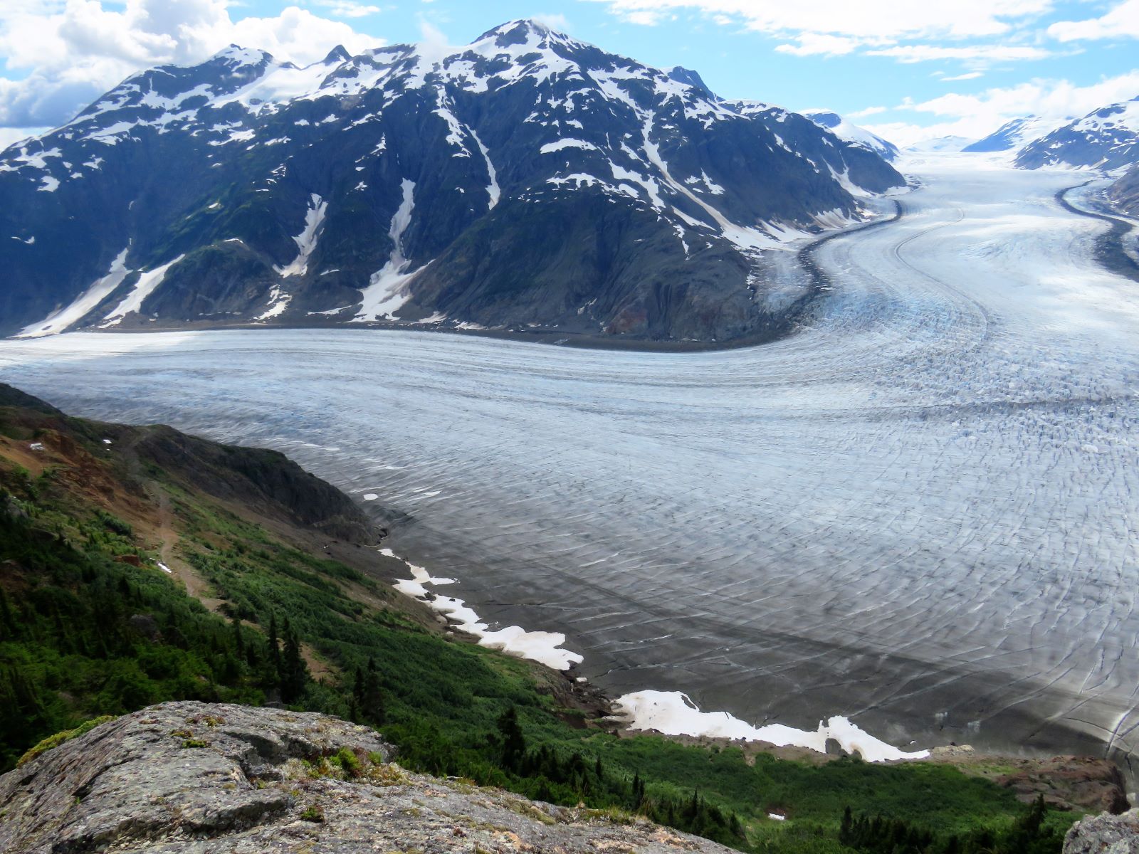
On the far left, up the hill, you can see part of the road we drove in on.
Looking straight out
Looking to the right.
A panoramic overview.
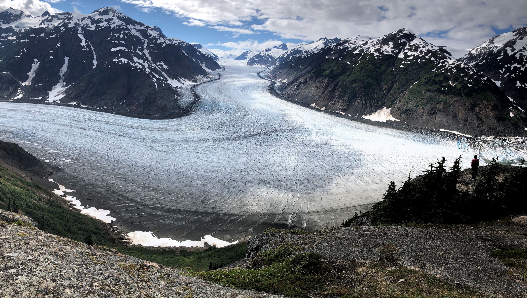
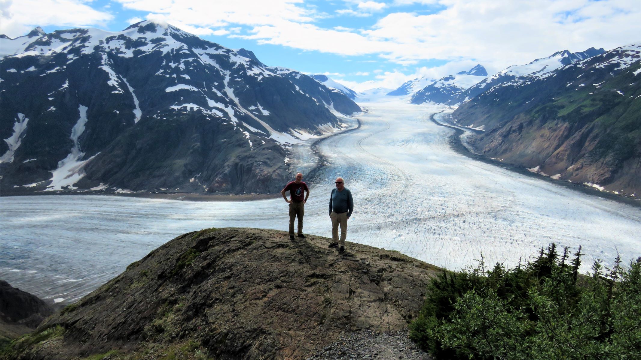
Here’s Lee and Andrew in the foreground to give an impression of just how big Salmon Glacier is!
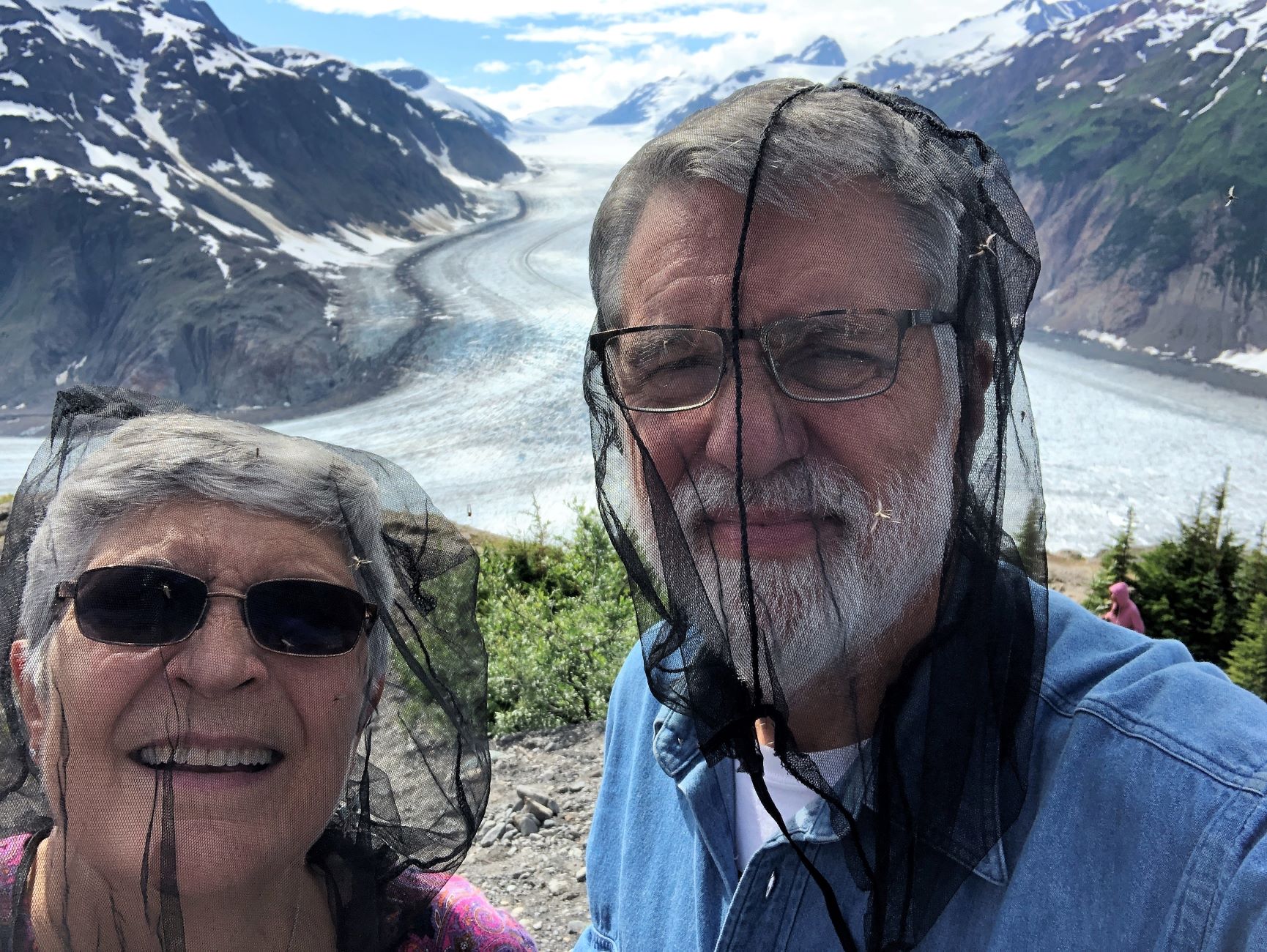
The bugs were fierce up here, we donned our mosquito netting – and you can see the bugs! The myth of large mosquitoes is just that – but in many places there are a lot of them!
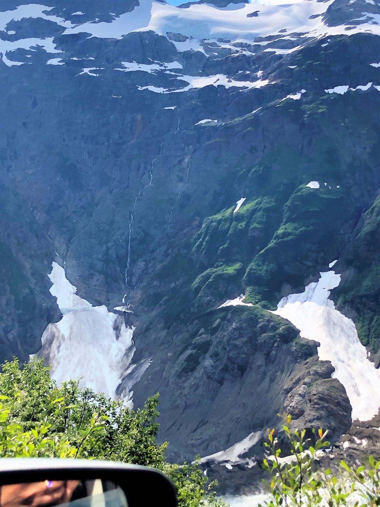
We headed back down the bumpy road, enjoying the scenery.
Waterfalls streaming down the face of the mountain – and a tiny glimpse of the glacial river next to the road (and the mirror!).

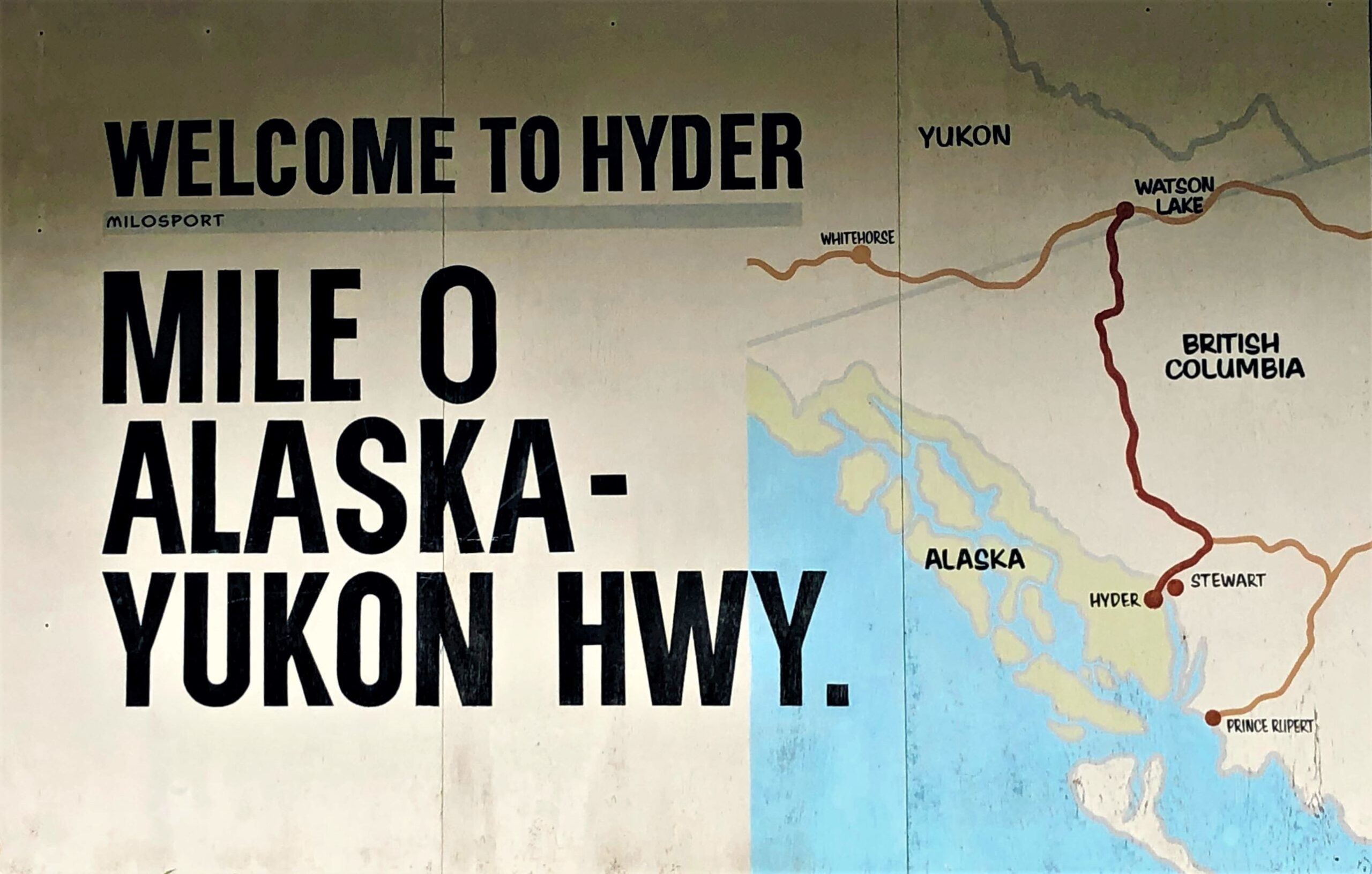
Someone we spoke with recommended we go see the pier at Hyder before we go back thru Customs to Canada – so we did! This sign indicated we were at Mile 0 of the Alaska-Yukon Hwy – another name for the Cassiar Highway? We’ve been to all the places on this map except Prince Rupert…
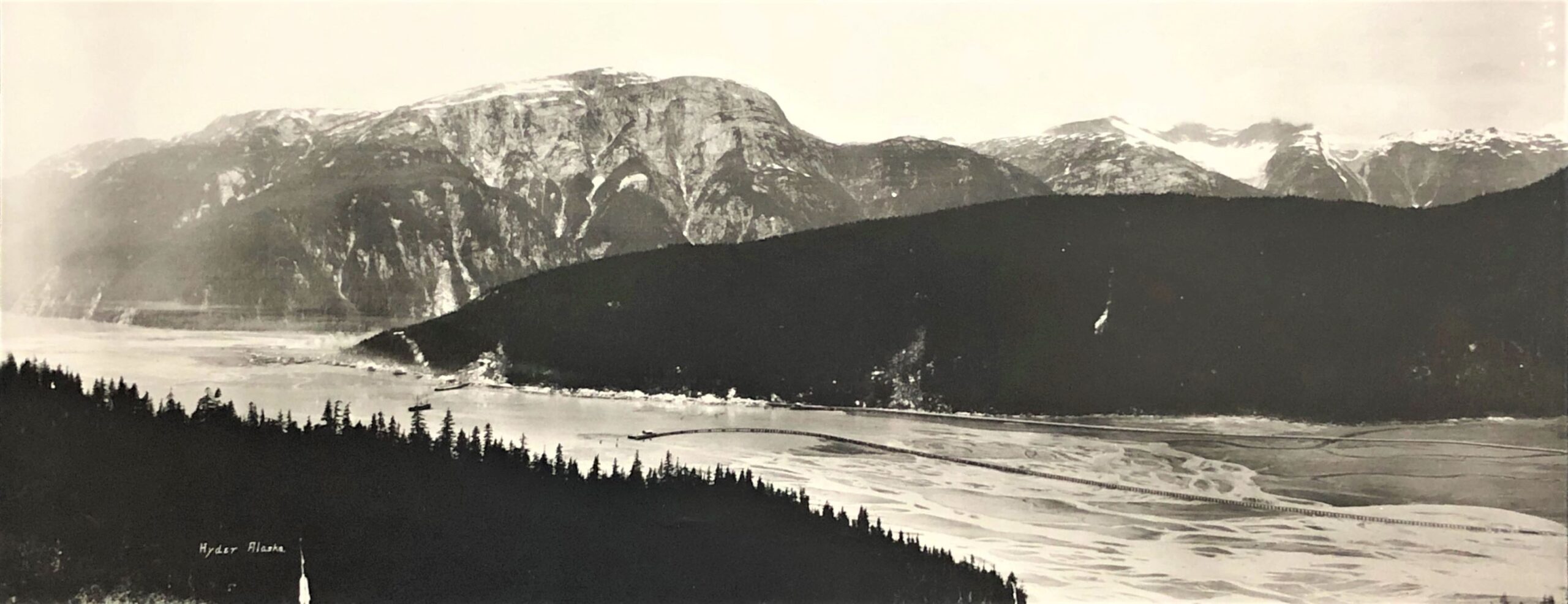
We went thru Customs and saw the pilings for the former railroad that ran out into the Portland Canal.
When we got back to Acey, we turned on the generator to fix a pizza for dinner. It had been a long day with a lot of activity and sights to see! Tomorrow, we head to Smithers, BC. Only a few nights left till our caravan ends on Sunday.
![]()
You really were in bear country on this leg of the journey. Such beautiful yet desolate country. No place to have a breakdown, for sure. You’re a great storyteller!
Thank bro! I try to keep the blog interesting – and its easy to have beautiful photos – so many sights are almost like a postcard!
One more blog to finish covering the caravan…
Beautiful pictures!!
I would say that you really took the back roads into some beautiful country. Loved the pictures you took, good job. Have saved some of them either to paint or to show on the computer. Loved the bear. Have friend that loves to paint animals, thought she might like this one. Happy you got out of that mud hole. Thanks soooo much for sharing !!! Between you and David Lawrence, my summer has been very interesting and enjoyable 🙂 Stay safe !!
Thanks Patty! The “back roads” are the only way to get where we went; they were “main roads”! It amazed us that some of the roads were so bad when they are the only roads! One of our tour guides mentioned that Alaska has as many miles of road as Connecticut! We are thankful that we suffered only dirty vehicles, a small crack in both windshields and small pieces of gravel in unusual places. But we went to some beautiful places and enjoyed the whirlwind trip!